
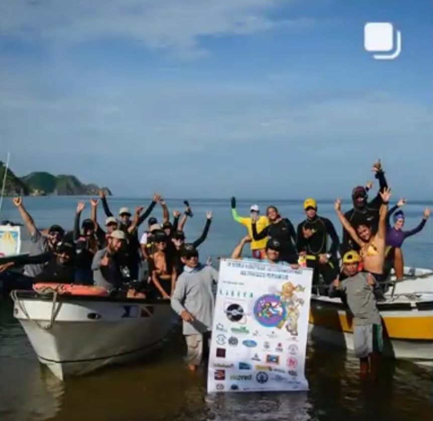
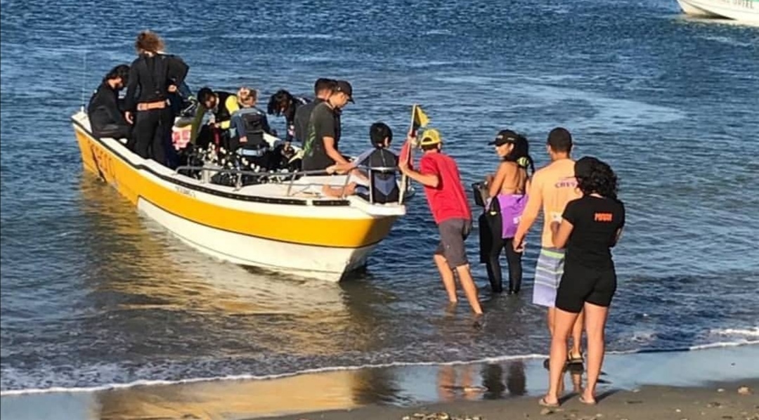
Dive Against Debris Data Submission
Taganga bay
7 October, 2019
- Team Leader
- Hernando Bonilla
- Number of Participants
- 18
- Total Debris Collected
- 1500 kgs (estimated)
11.270675537723, -74.196818768978
Survey Information
- Location Name
- Taganga bay
- Organization/Dive Centre
- Red de Vigilantes Marinos
- City
- Santa Marta
- Country
- Colombia
- Date
- 7 October, 2019
- Survey Duration
- 60 Minutes
- GPS Coordinates
- Latitude: 11.270675537723
Longitude: -74.196818768978
- Weather Conditions
-
rainy, cloudy. calm waters.
- Survey Depth Range
- 0.5–6 meters
- Area Surveyed
- 3000 m2
- Dominant Substrate
- sand
- Ecosystem
- coral reef
- Wave Conditions
- Smooth (wavelets) for waves 0.1 - 0.5 meter high
Survey Photos
Debris Items Collected
Additional Information
Plastic
Comments and Feedback
We are a group of people who was accepted for La Red de Vigilantes Marinos to be their leaders in Colombia, Thes cleanup was part of it.


