
Coast of Bayahibe
17 November, 2023
- Team Leader
- Chloe von Kaenel
- Number of Participants
- 6
- Total Debris Collected
- 17 kgs (measured)
18.354574502357, -68.838013934767
Survey Information
- Location Name
- Coast of Bayahibe
- Organization/Dive Centre
- DANA & IVAN CERNY FOUNDATION
- City
- BAYAHIBE
- Country
- Dominican Republic
- Date
- 17 November, 2023
- Survey Duration
- 60 Minutes
- GPS Coordinates
- Latitude: 18.354574502357
Longitude: -68.838013934767
- Weather Conditions
- Survey Depth Range
- 4–7 meters
- Area Surveyed
- 300 m2
- Dominant Substrate
- coral
- Ecosystem
- coral reef
- Wave Conditions
- Slight for waves 0.5 -1.25 meter high
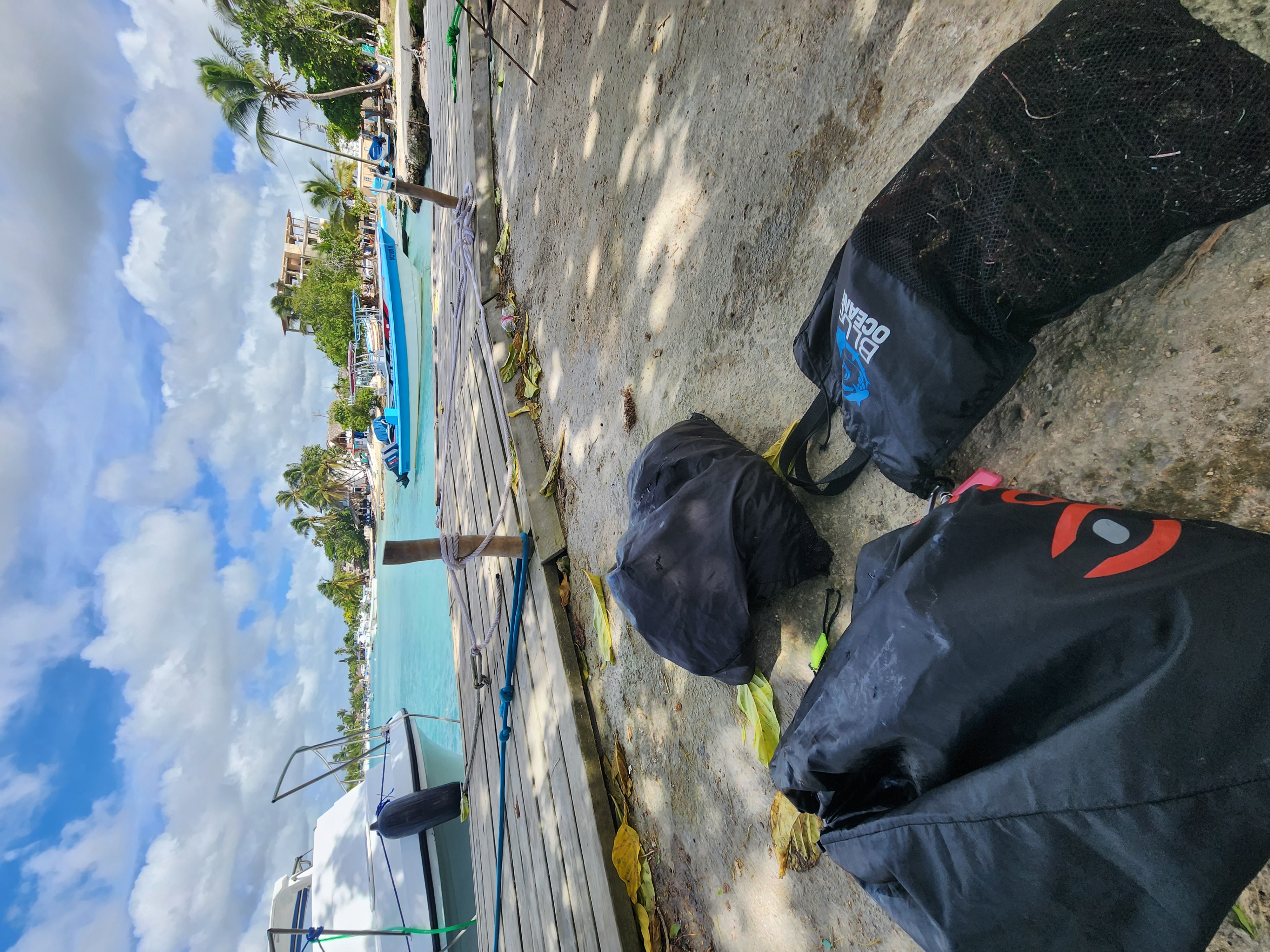
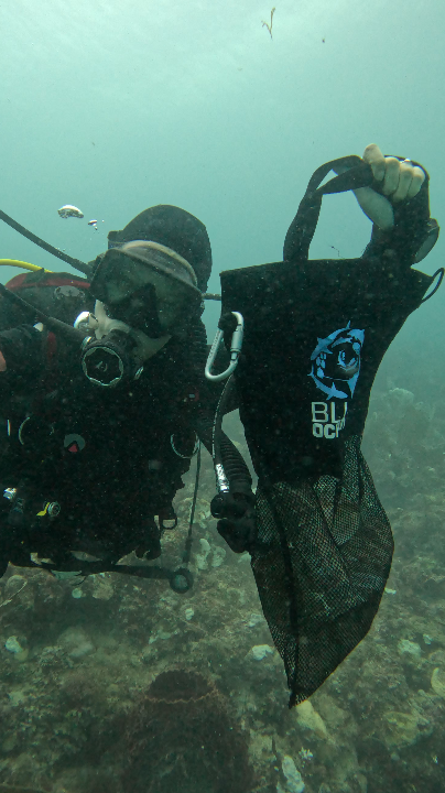
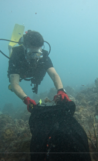
Survey Photos
Debris Items Collected
| plastic materials collected | |
|---|---|
| Fishing: Line | 150 |
| metal materials collected | |
|---|---|
| Fishing: Traps & Pots | 22 |
| Fishing: Sinkers, Lures, Hooks | 34 |
Additional Information
The coast between Bayahibe and Dominicus (between Magallanes Beach and Whala Hotel) is a fishing place for local people. Unfortunately, a lot of them don't respect this area and throw or leave their fishing lines, traps, and pods in this area. This zone is not a dive site, it's very close to the coast and plenty of boats pass there without any concerns for marine rules or safety. It is complicated and kind of dangerous to dive there so no one manages to clean this area, it just accumulates over years and years resulting in coral growing around fishing lines and a reef COVERED in meters and meters of fishing lines. Fortunately, week after week, we're cleaning this place up and for the last couple of weeks, we do not encountered any new lines.
Comments and Feedback
The amount of trash collected is measured (17 kg) but the amount of fishing line collected is approximative (150). The whole 17 kg were only fishing lines, it is not possible to count how many exactly we removed.


