
Dive Against Debris Data Submission
Ouha Island
15 November, 2019
- Team Leader
- Essa
- Number of Participants
- 3
- Total Debris Collected
- 3 kgs (estimated)
29.376852, 48.444097
Survey Information
- Location Name
- Ouha Island
- Organization/Dive Centre
- Kssc Dive Center
- City
- Kuwait
- Country
- Kuwait
- Date
- 15 November, 2019
- Survey Duration
- 40 Minutes
- GPS Coordinates
- Latitude: 29.376852
Longitude: 48.444097
- Weather Conditions
-
Good
- Survey Depth Range
- 5–10 meters
- Area Surveyed
- 752.99 m2
- Dominant Substrate
- rock
- Ecosystem
- other
- Wave Conditions
- Smooth (wavelets) for waves 0.1 - 0.5 meter high
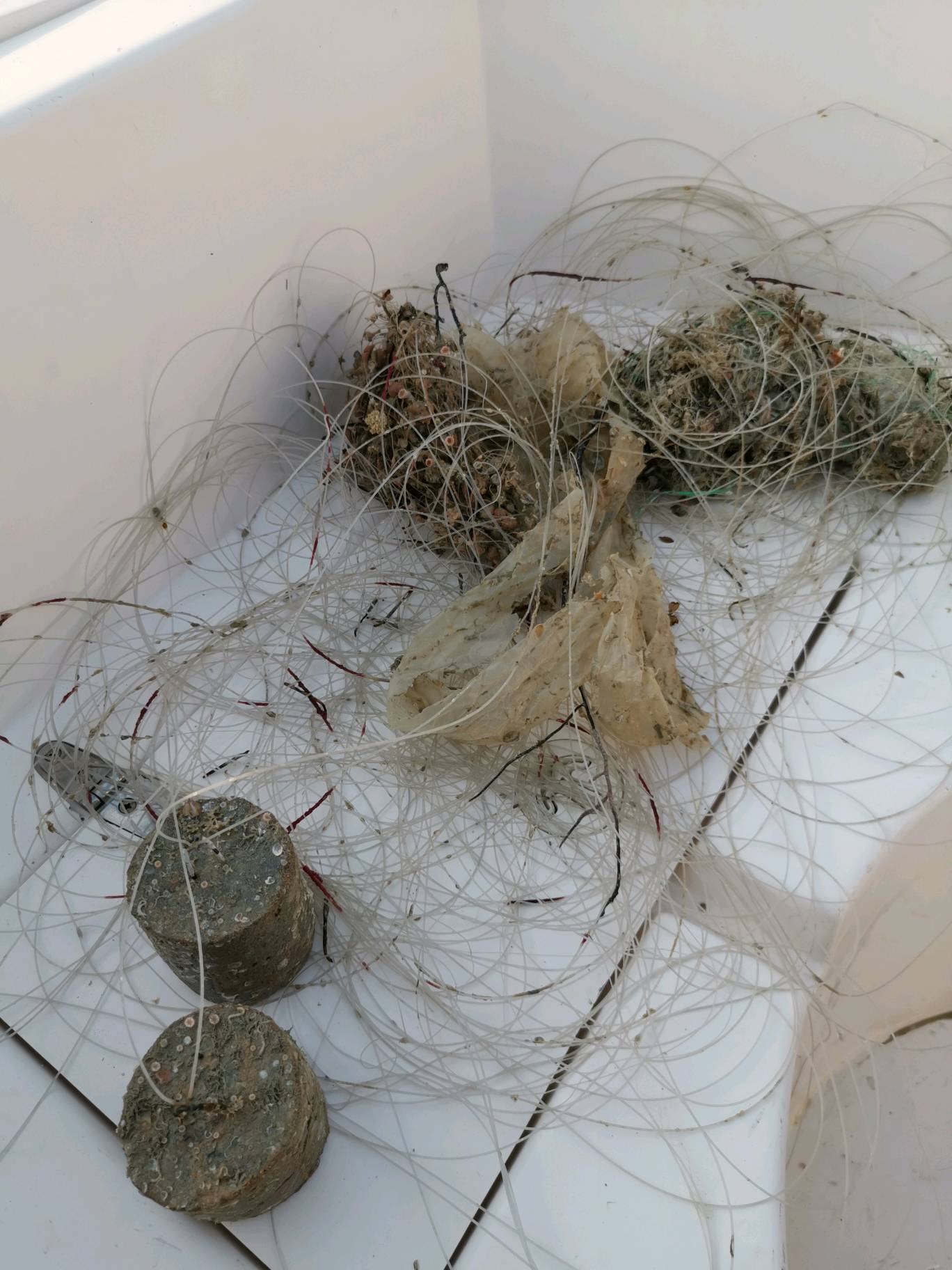
Survey Photos
Debris Items Collected
| plastic materials collected | |
|---|---|
| Bags: Trash (plastic) | 1 |
| Caps & Lids (plastic) | 1 |
| Cups, Plates, Forks, Knives, Spoons (plastic) | 1 |
| Fishing: Line | 20 |
| Fishing: Nets & Pieces Of Nets | 1 |
| mixed materials collected | |
|---|---|
| Bricks, Cinderblocks & Chunks Of Cement | 2 |
Additional Information
No
Cement blocks used as sinking weight for fishing lines
Fishing lines
Fish hooks
Comments and Feedback
The site was a new place to discover


