Dive Against Debris Data Submission
Ruinerwold, Engelgaardr
22 March, 2020
- Team Leader
- Jort Harmsen
- Number of Participants
- 2
- Total Debris Collected
- 0 kgs (estimated)
52.705505, 6.231997
Survey Information
- Location Name
- Ruinerwold, Engelgaardr
- Organization/Dive Centre
- Duikvereniging Leeuwarden
- Country
- Netherlands
- Date
- 22 March, 2020
- Survey Duration
- 30 Minutes
- GPS Coordinates
- Latitude: 52.705505
Longitude: 6.231997
- Weather Conditions
-
Clear skies
- Survey Depth Range
- 2–8 meters
- Area Surveyed
- 4191.05 m2
- Dominant Substrate
- sand
- Ecosystem
- other
- Wave Conditions
- Calm (glassy to rippled) for waves 0 – 0.1 meter high
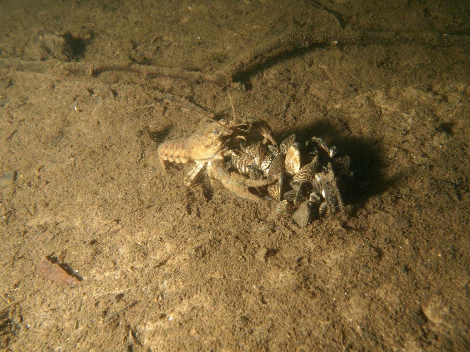
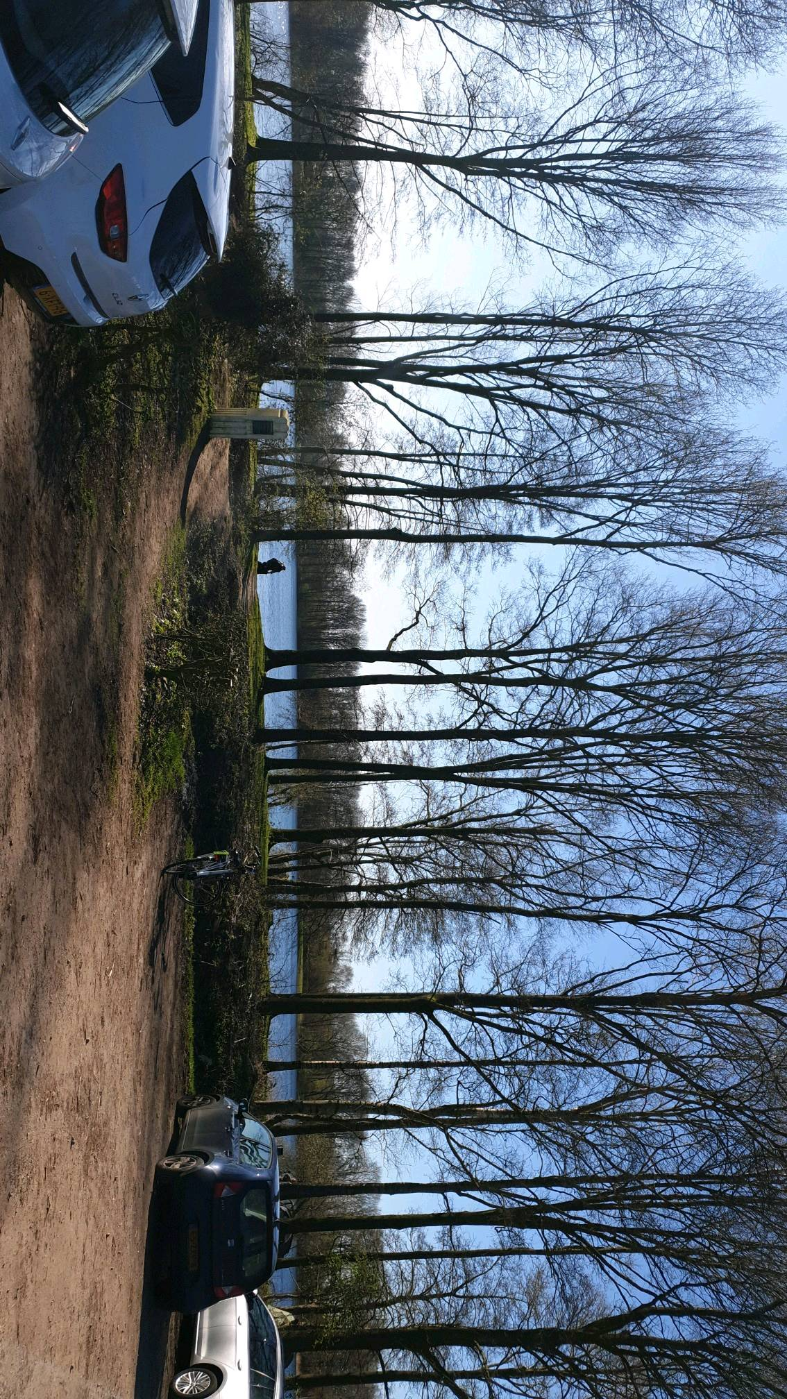
Survey Photos