
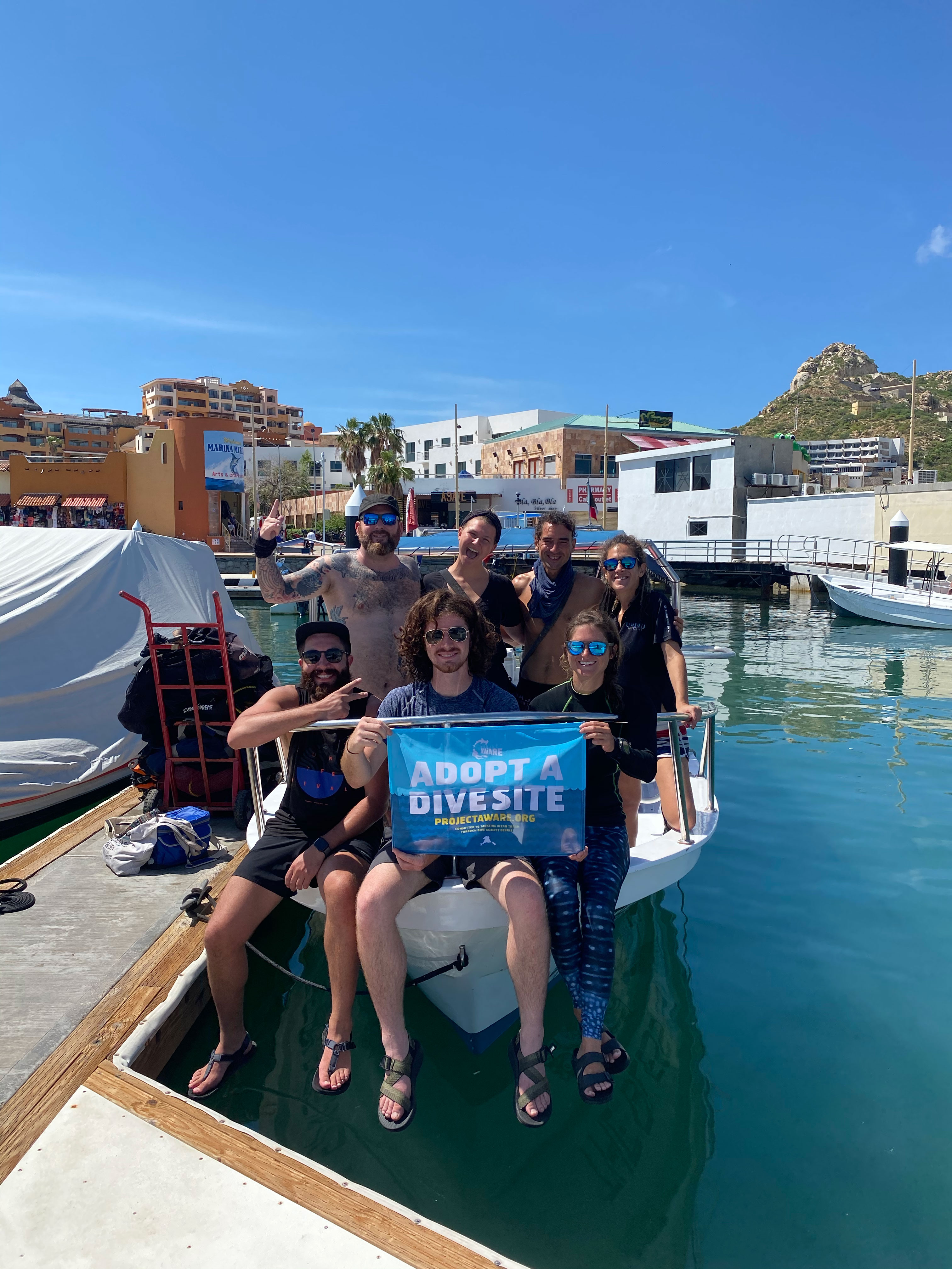
Dive Against Debris Data Submission
Land's End
23 September, 2020
- Team Leader
- Jay Clue
- Number of Participants
- 6
- Total Debris Collected
- 12 kgs (estimated)
22.875810568581, -109.89266133622
Survey Information
- Location Name
- Land's End
- Organization/Dive Centre
- Dive Ninja Expeditions
- City
- Cabo San Lucas
- Country
- Mexico
- Date
- 23 September, 2020
- Survey Duration
- 45 Minutes
- GPS Coordinates
- Latitude: 22.875810568581
Longitude: -109.89266133622
- Weather Conditions
-
Strong surge, wind around 10-12 knots, occasional light rain
- Survey Depth Range
- 12–20 meters
- Area Surveyed
- 320 m2
- Dominant Substrate
- sand
- Ecosystem
- rocky reef
- Wave Conditions
- Smooth (wavelets) for waves 0.1 - 0.5 meter high
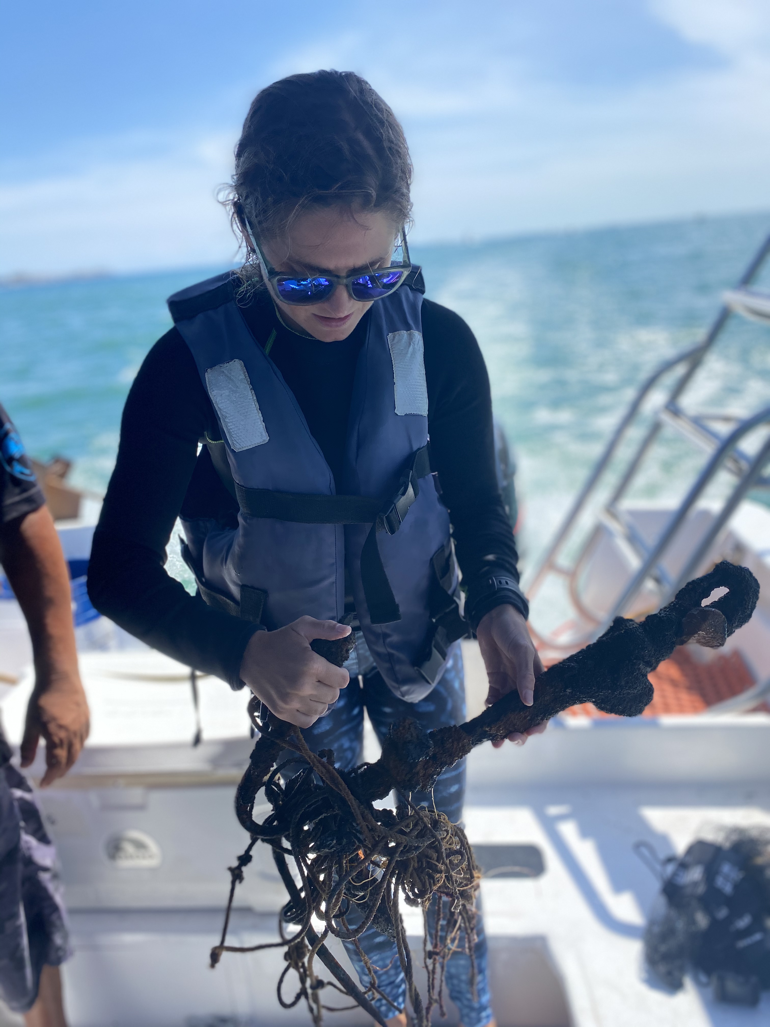
Survey Photos
Debris Items Collected
| plastic materials collected | |
|---|---|
| Fishing: Line | 49 |
| Food Wrappers (plastic) | 1 |
| glass materials collected | |
|---|---|
| Glass & Ceramic Fragments | 1 |
| metal materials collected | |
|---|---|
| Pipes & Rebar | 2 |
| Metal Fragments | 7 |
| Fishing: Sinkers, Lures, Hooks | 8 |
| rubber materials collected | |
|---|---|
| Rubber Fragments | 1 |
| cloth materials collected | |
|---|---|
| Rope And String (cloth) | 5 |
| other materials collected | |
|---|---|
| electric wires / cables | 7 |
| Grappling hook anchor | 1 |
Additional Information
During the COVID 19 quarantine many boats were fishing illegally in the marine park. The wreck at Lands End had lots of fishing line and weights entangled on it.
Grappling hook style anchor
Fishing Line
Fishing weights & makeshift fishing weights such as rebar
metal fragments from shipwreck and illegal fishing


