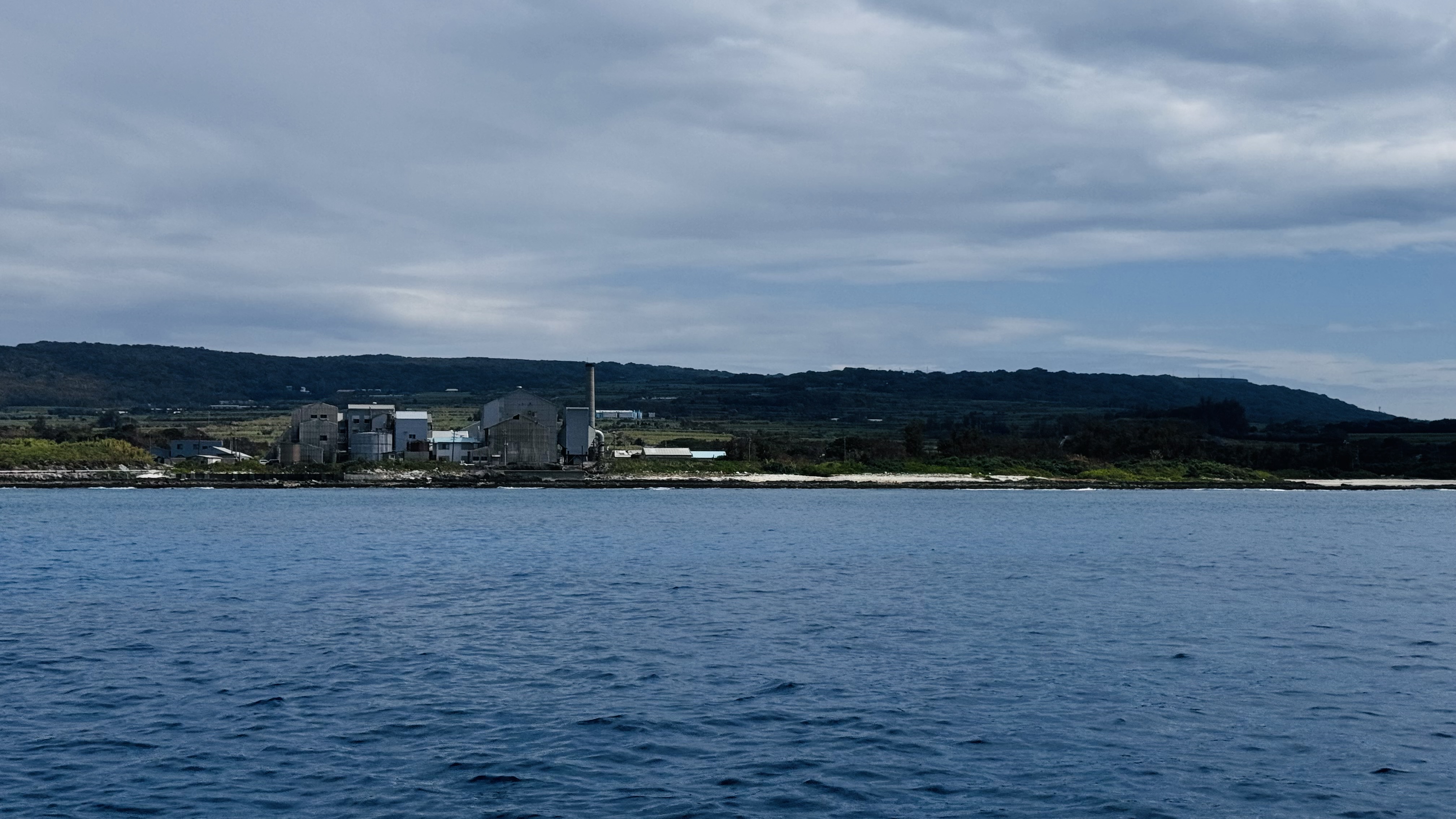
Old Fort
0
0
0
0
13.083086442036, -59.616541618469
0
0
0
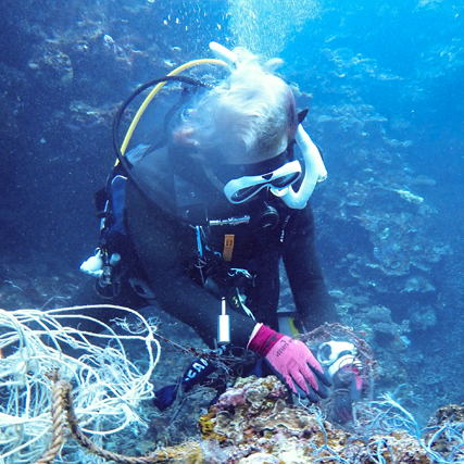
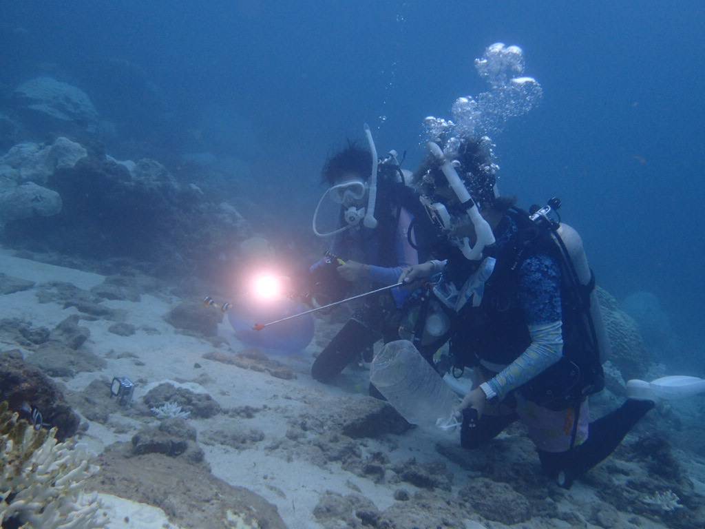
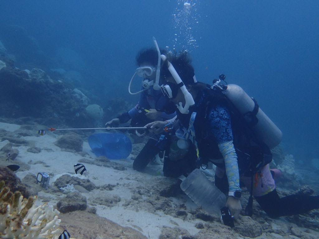
coral
0
0
0
0
0
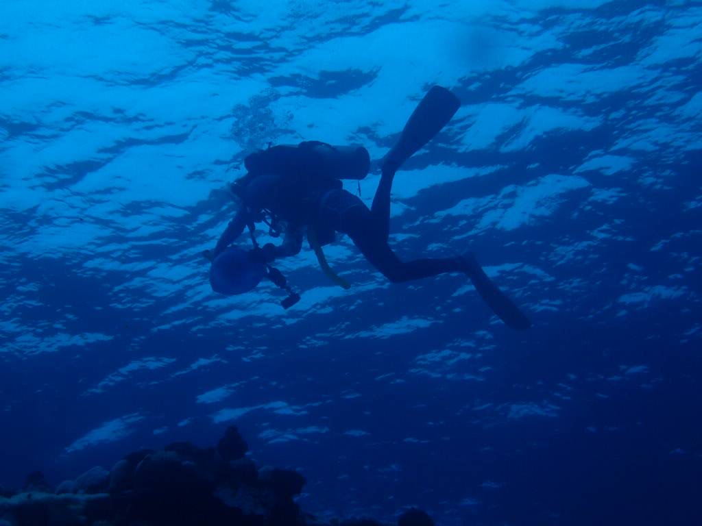
Swells from the previous week
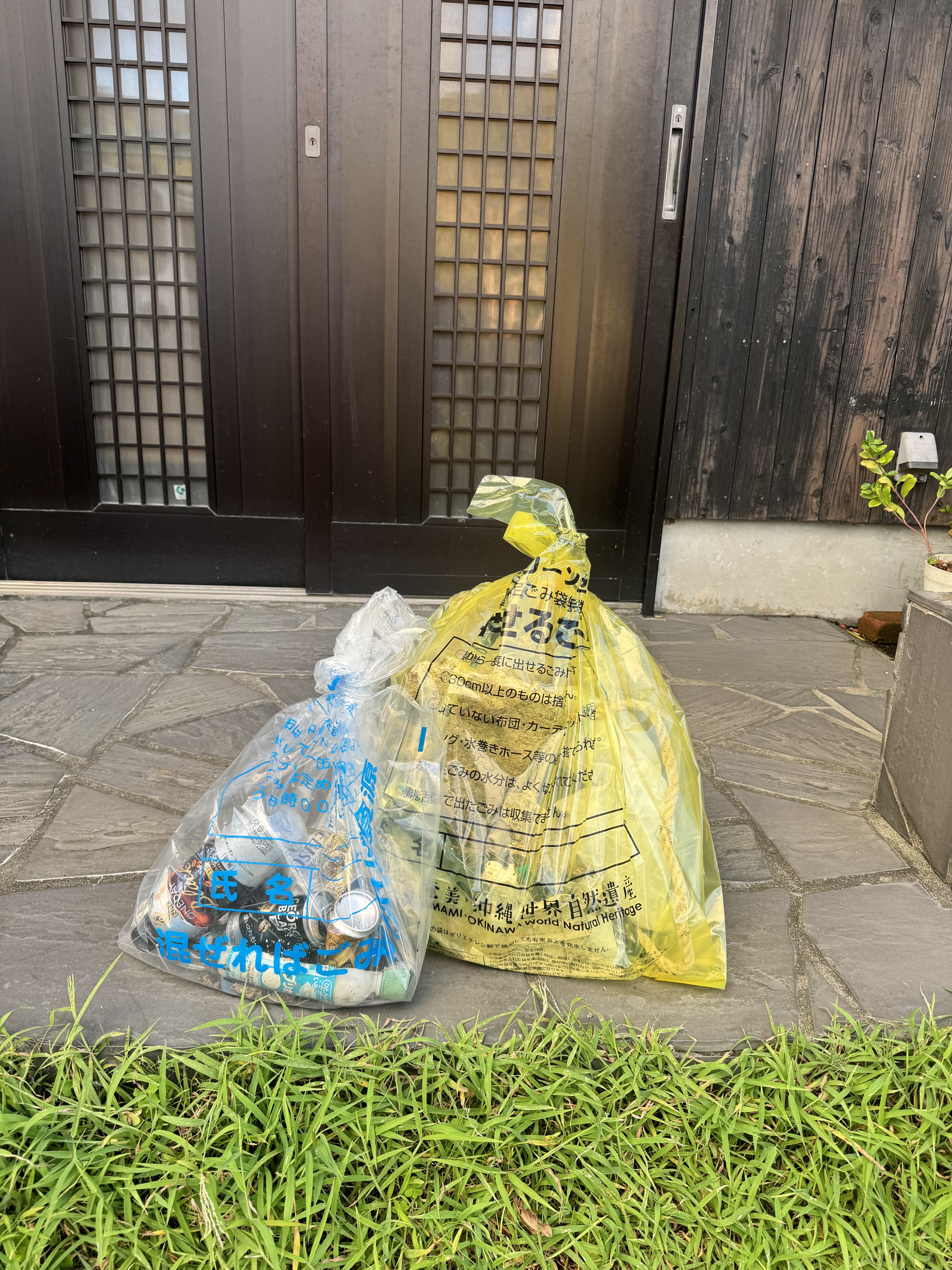
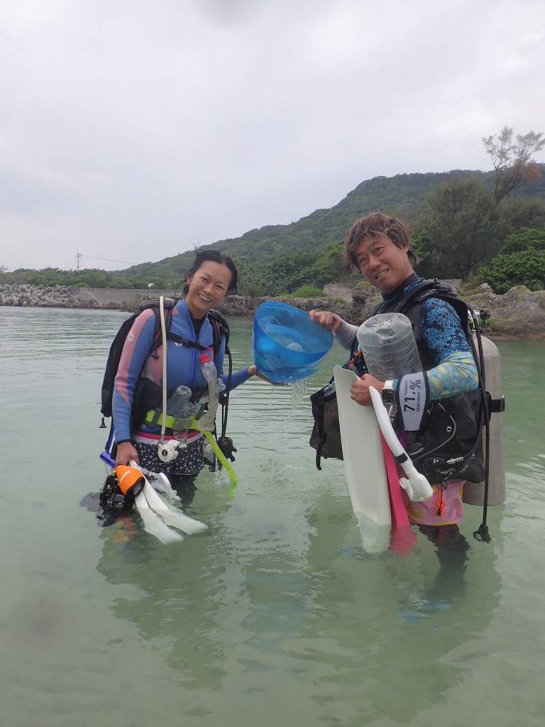
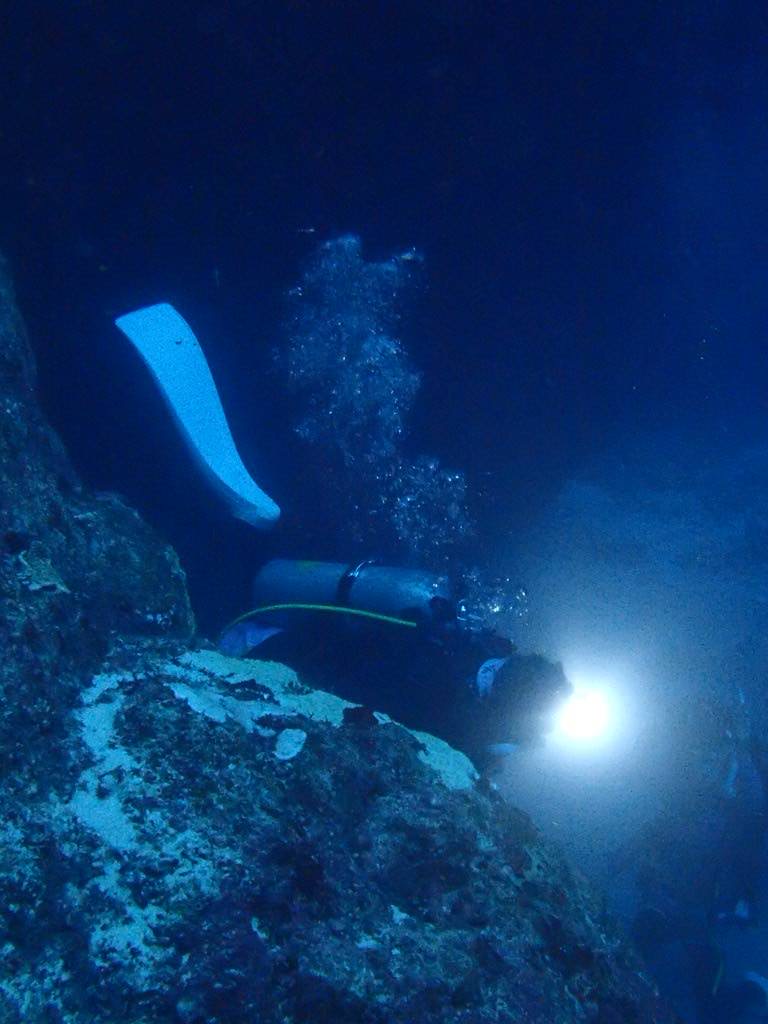
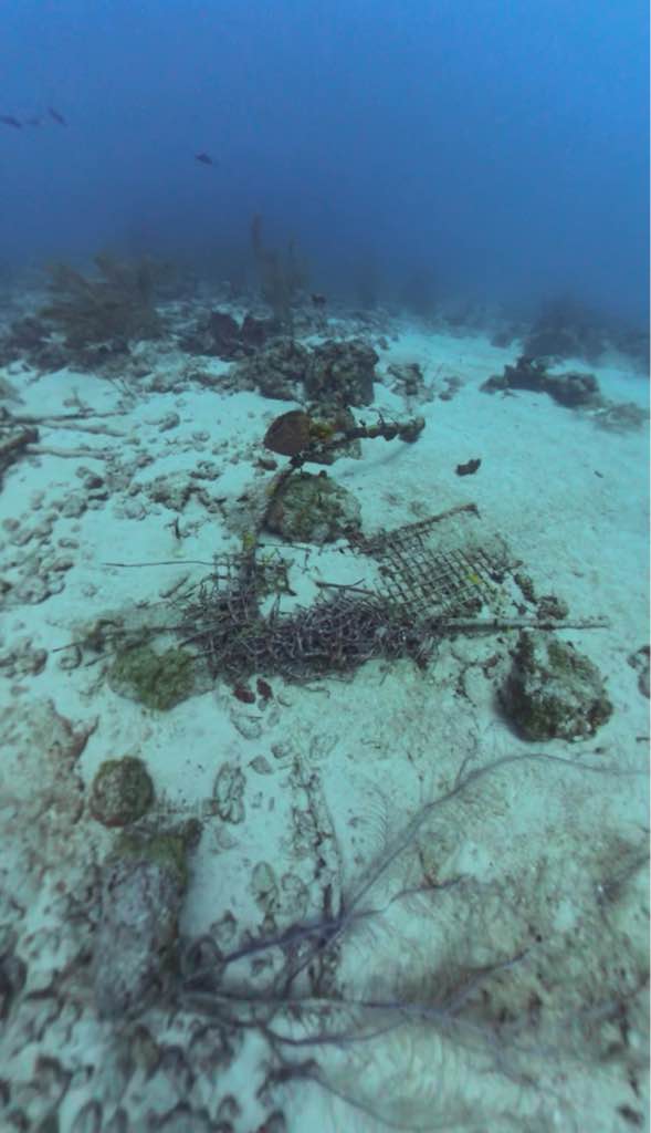
Two of the debris items were to heavy to extract
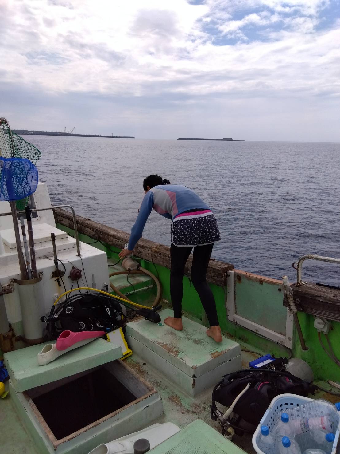
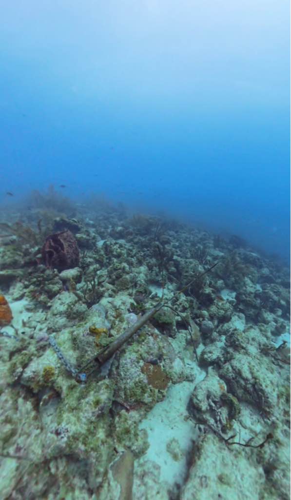
Boat anchor
Swells, small boat vessel warning
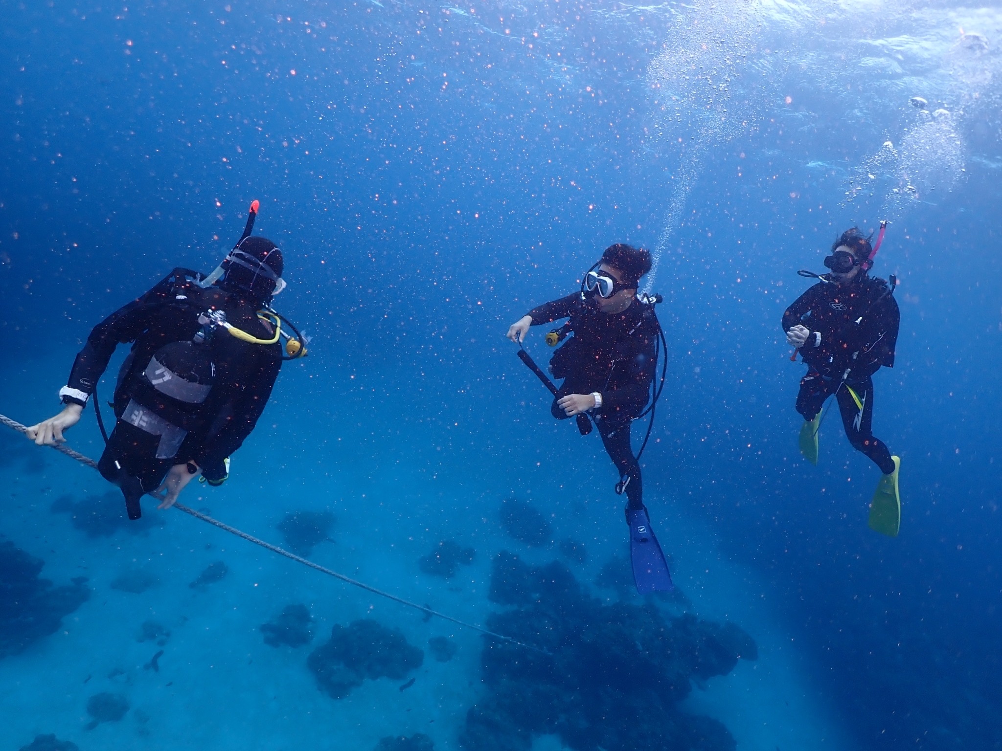
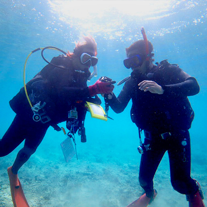
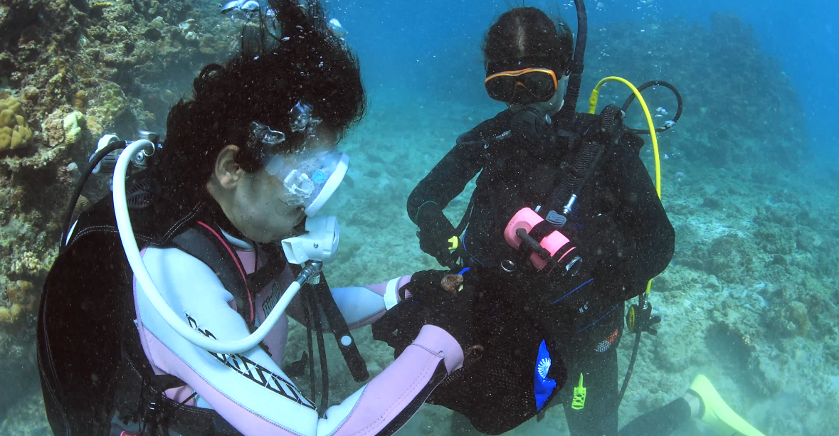
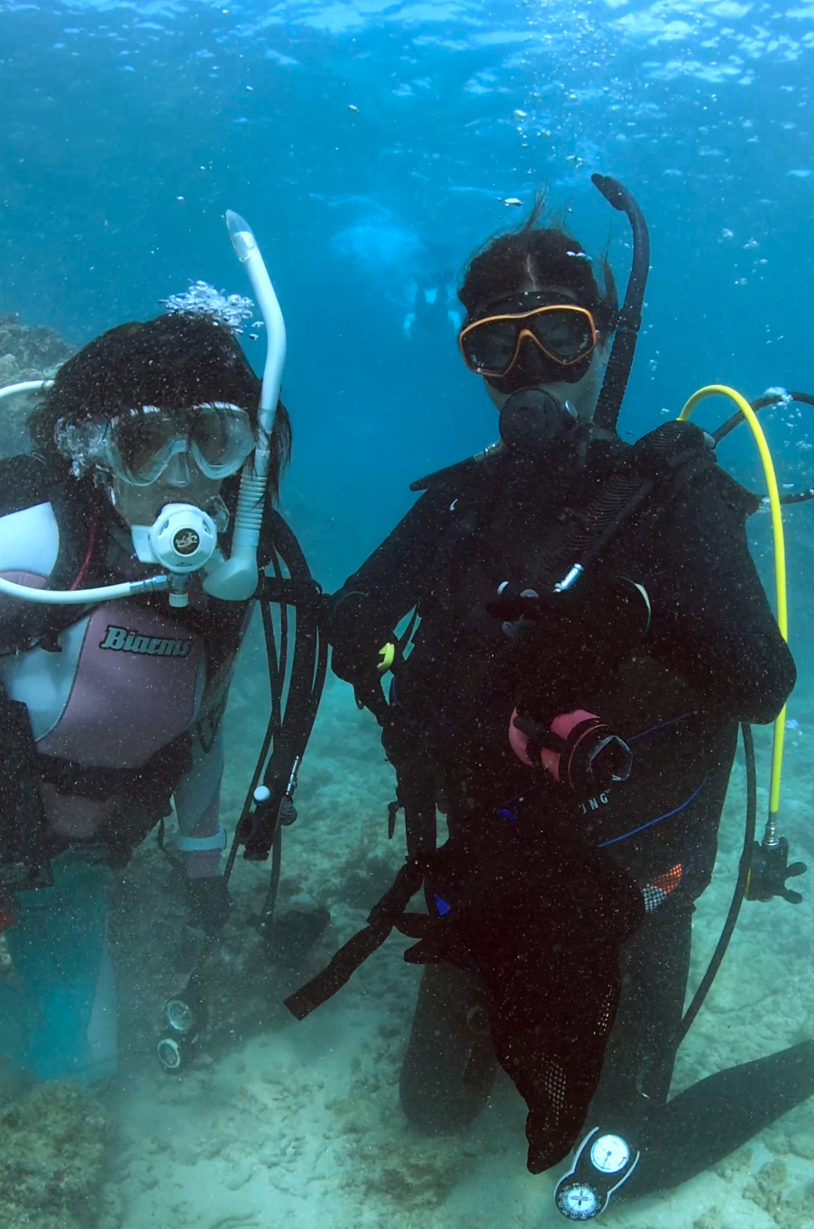
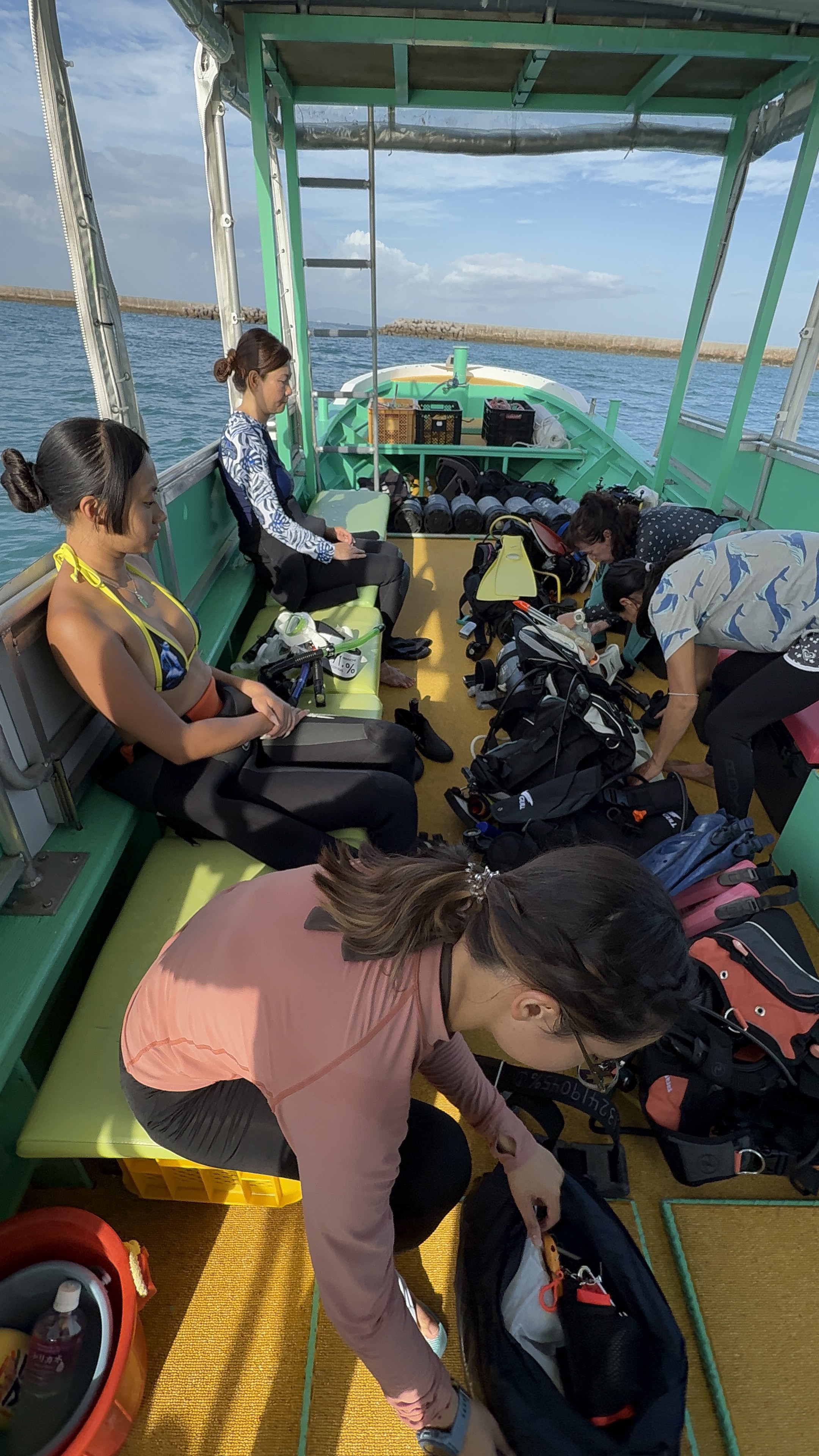
G Fish Watersports
Mia
0
0
0
0
0
0
0
0
0
0
0
0
0
0
0
0
0
0
0
4
0
0
0
0
0
0
0
0
0
0
0
0
0
0
0
0
0.00
35
64.00
40.00
0
measured
0
0
13497.10
0
0
0
0
0
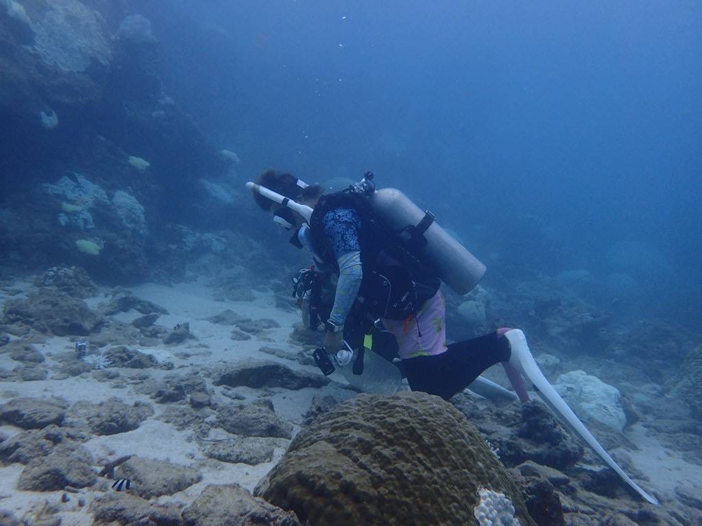
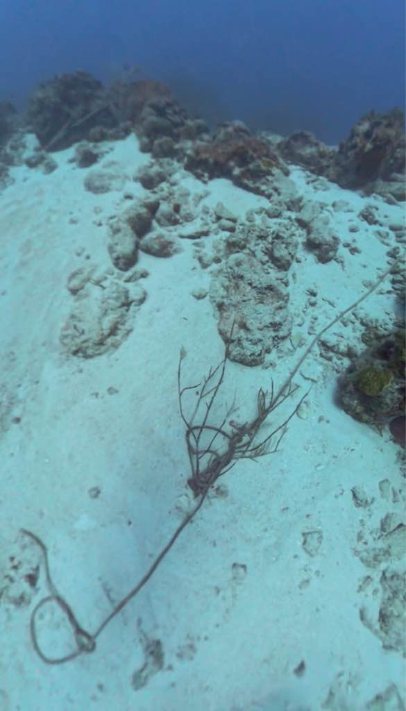
Boat anchor with line still attached
Broken fish pot
Anchor line
0
On
kilograms
0
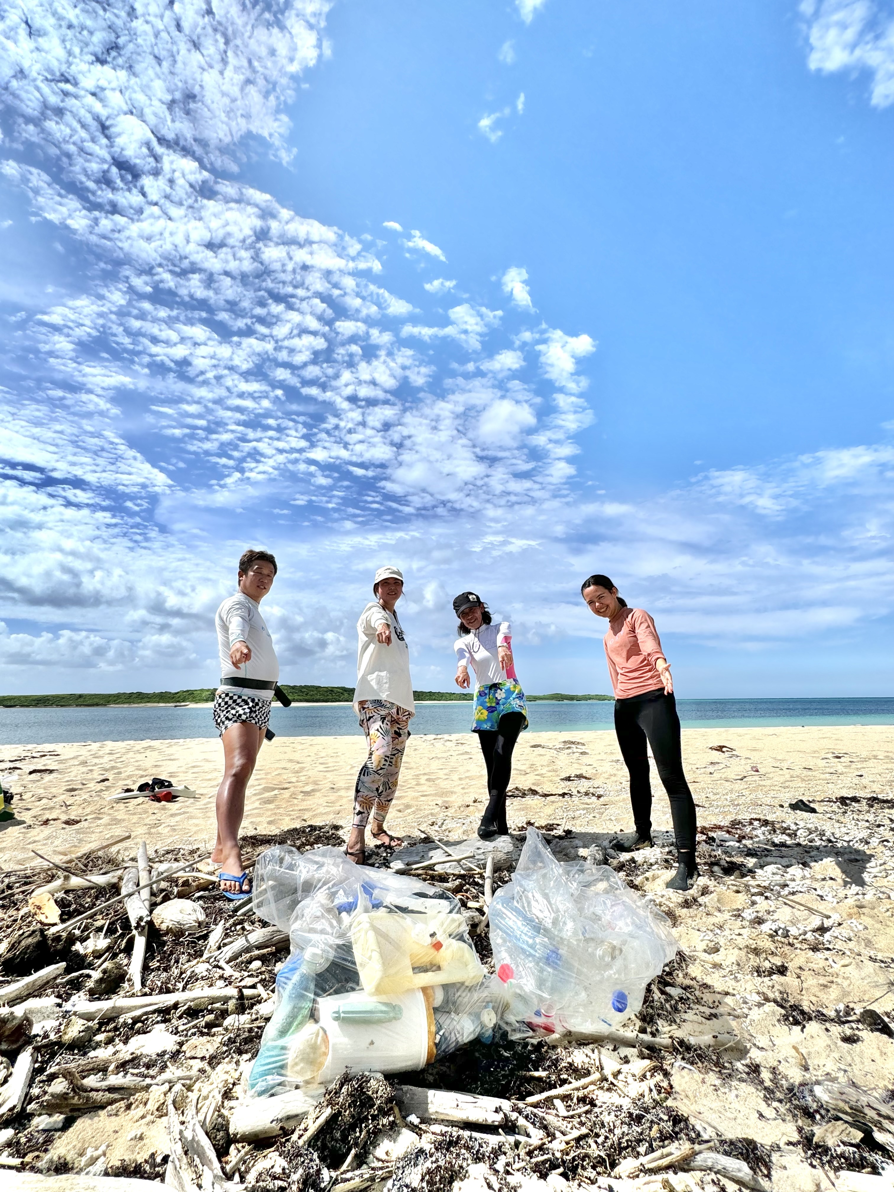
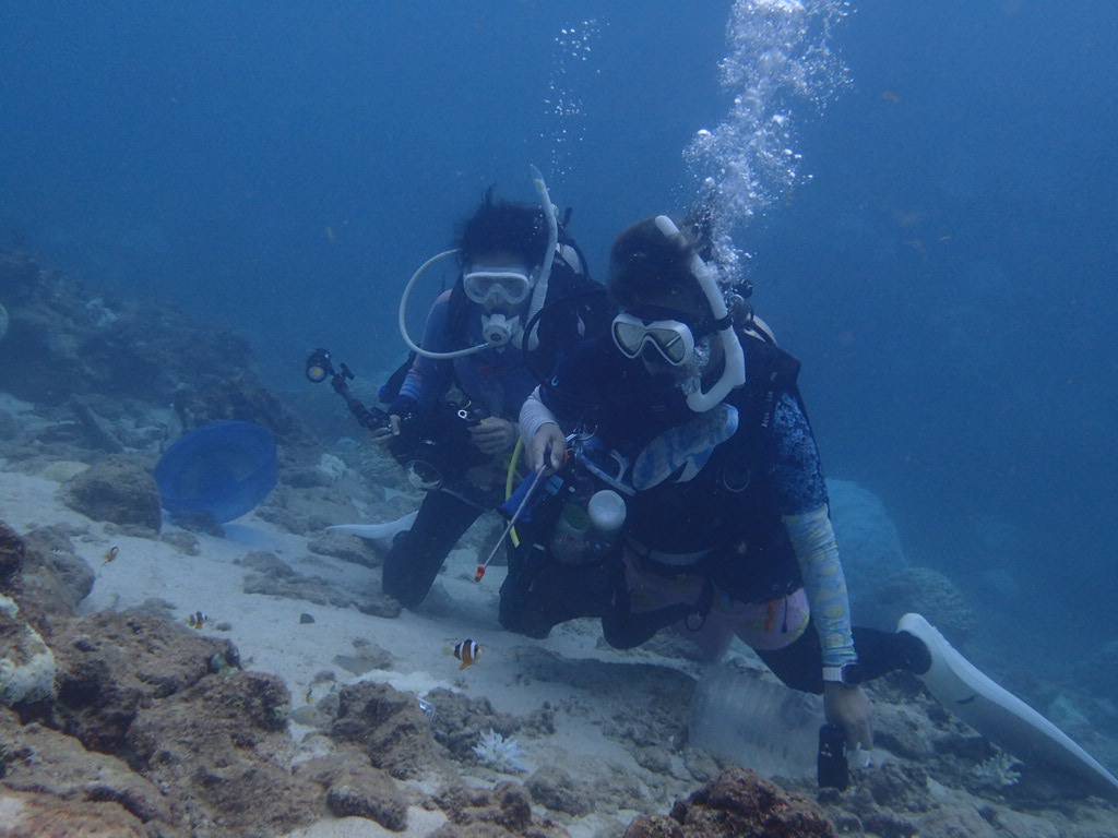
Our Survey Site was free of debris
0
0
0
Slight for waves 0.5 -1.25 meter high
0
0
0
0
0
0
0
m2
0
0
meters
coral reef
0
0
0
0
0
0
0
0
0
0
0
0
0
0
0
0
0
0
0
0
0
0
0
0
0
0
0
0
0
City
Bridgetown
Map Help
Dive Location
If you know your survey site coordinates, enter them manually in decimal degrees using WGS84 Map Datum. Use the minus sign for latitudes south of the equator and longitudes west of the Prime Meridian to 180 degrees.
If you do not know your survey site coordinates, click the “Map Location” tab to use the map to zoom into your survey site and drop the pin on the map to fall within your survey dive site in the water (not on land or the beach). Ensure you zoom in as much as possible to ensure data accuracy.
Entangled Help