Pumpwerk Rüschlikon
1
silt
47.303175079461, 8.5609829898003
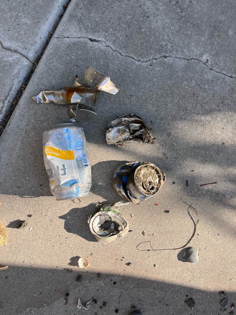
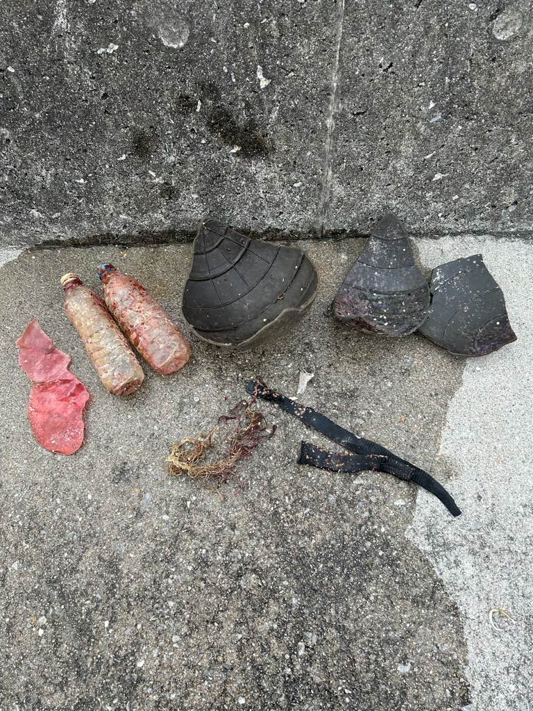
dive took place shortly after New Years which explains the extra fire work debris found on this dive
firework debris
rainy
TSK Zürich
Sibylle
1
2
0.30
20
7.00
4.00
estimated
50.00
1
On
kilograms
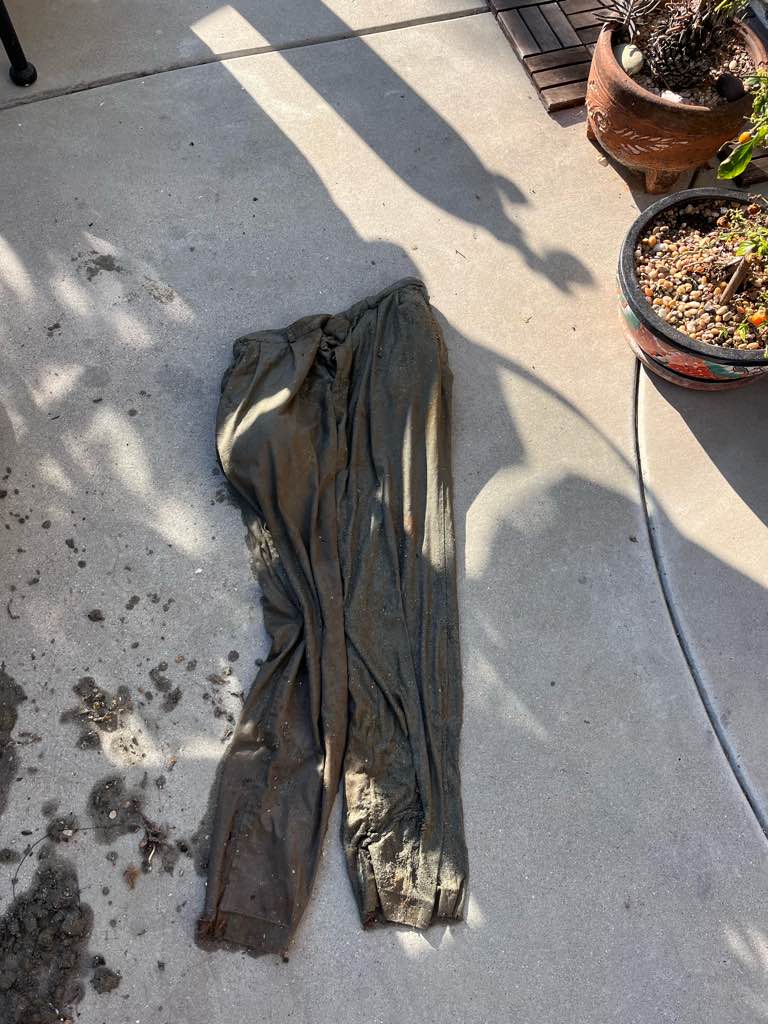
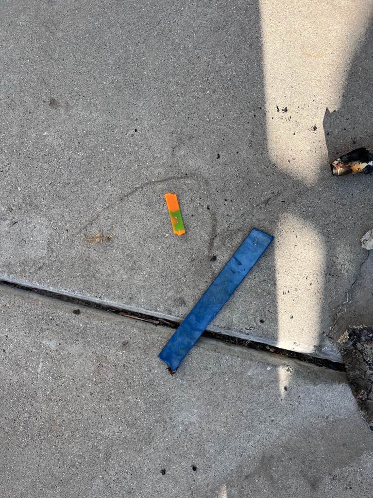
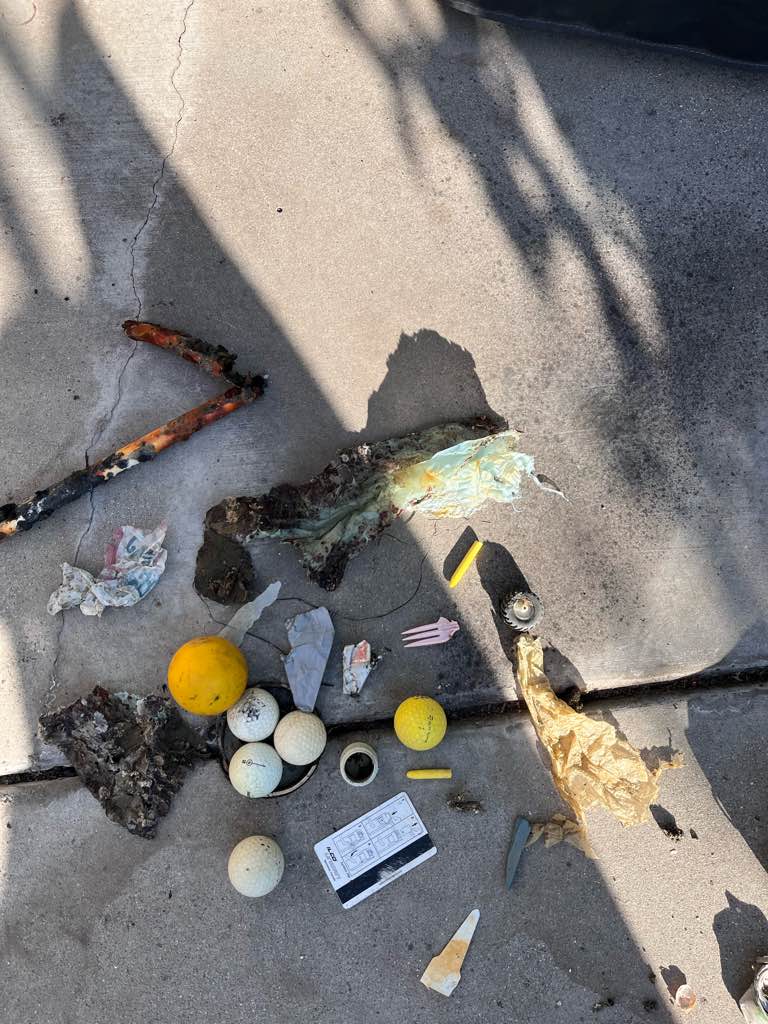
I have debris data to report
Calm (glassy to rippled) for waves 0 – 0.1 meter high
1
m2
meters
other
7
City
Zürich
Map Help
Dive Location
If you know your survey site coordinates, enter them manually in decimal degrees using WGS84 Map Datum. Use the minus sign for latitudes south of the equator and longitudes west of the Prime Meridian to 180 degrees.
If you do not know your survey site coordinates, click the “Map Location” tab to use the map to zoom into your survey site and drop the pin on the map to fall within your survey dive site in the water (not on land or the beach). Ensure you zoom in as much as possible to ensure data accuracy.
Entangled Help
Use the vertical tabs below to record any entangled animals you found of each type.
Ecosystem Other
fresh water lake