Menu

Mizugama

0
2
0
1

26.355506, 127.7404598

0
0
0
sand
0
0
0
0
0
NO
No
NO
No
Cloudy
Dr.blue
Tomoya
0
0
0
0
0
0
0
0
0
0
0
0
0
0
0
0
0
0
0
2
0
0
0
0
0
0
2
0
3
0
0
0
0
0
0
0
1.04
44
11.10
3.00
0
measured
0
0
9404.89
0
0
0
1
0
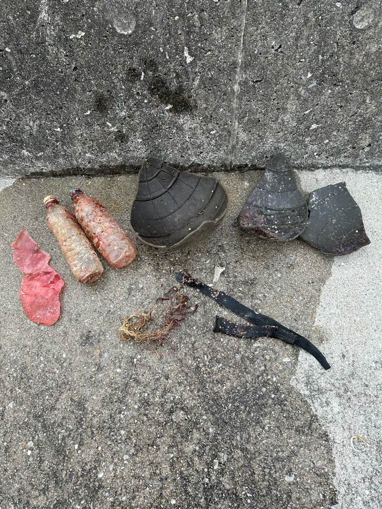
plastic buoy
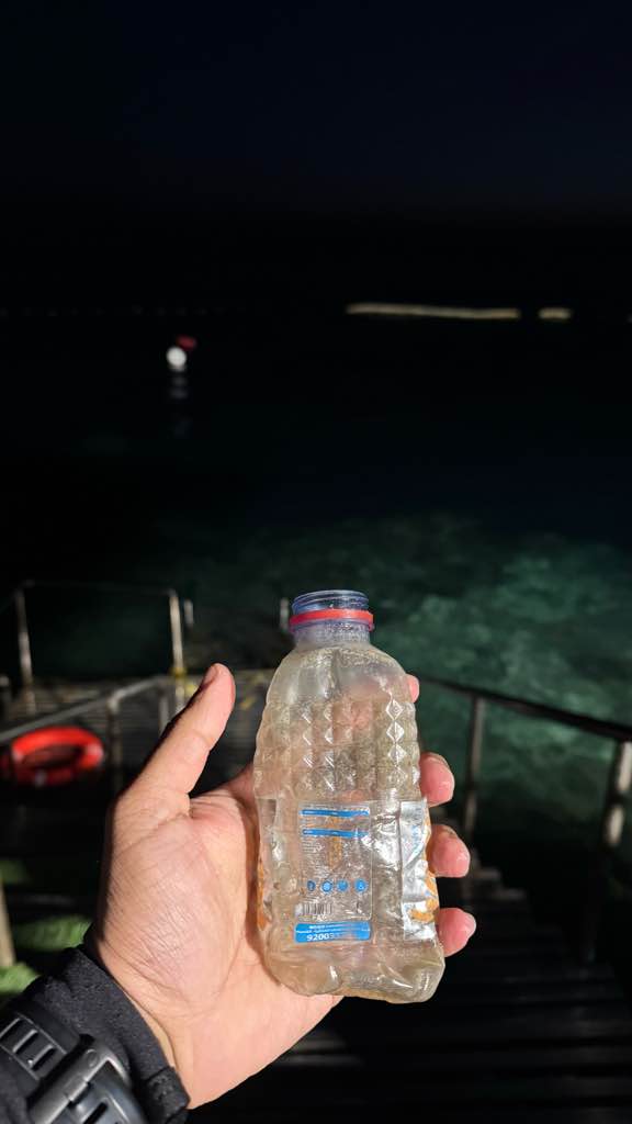
pet bottle
pastic fragment
0
On
kilograms
0
I have debris data to report
0
0
0
Smooth (wavelets) for waves 0.1 - 0.5 meter high
0
0
0
0
0
0
0
m2
0
0
meters
coral reef
1
0
0
0
0
0
0
0
0
0
0
0
0
0
0
0
0
0
0
0
0
0
1
0
0
0
0
0
0
Japan
State\Province
Okinawa
City
Kadena
Map Help


Dive Location

If you know your survey site coordinates, enter them manually in decimal degrees using WGS84 Map Datum. Use the minus sign for latitudes south of the equator and longitudes west of the Prime Meridian to 180 degrees.

If you do not know your survey site coordinates, click the “Map Location” tab to use the map to zoom into your survey site and drop the pin on the map to fall within your survey dive site in the water (not on land or the beach). Ensure you zoom in as much as possible to ensure data accuracy.

Entangled Help


Use the vertical tabs below to record any entangled animals you found of each type.

Scuba republic House reef

18
16

-0.44350884742634, 130.75421187414

sand
1
rainning and sunny
1
boat fragment
INDO OCEAN PROJECT
Celia
2
1
6
3
2
2.97
60
25.00
5.00
measured
1000.00
On
kilograms
I have debris data to report
1
Calm (glassy to rippled) for waves 0 – 0.1 meter high
2
m2
meters
coral reef
Indonesia
State\Province
West Papua
City
Waisai
Map Help


Dive Location

If you know your survey site coordinates, enter them manually in decimal degrees using WGS84 Map Datum. Use the minus sign for latitudes south of the equator and longitudes west of the Prime Meridian to 180 degrees.

If you do not know your survey site coordinates, click the “Map Location” tab to use the map to zoom into your survey site and drop the pin on the map to fall within your survey dive site in the water (not on land or the beach). Ensure you zoom in as much as possible to ensure data accuracy.

Entangled Help


Use the vertical tabs below to record any entangled animals you found of each type.

Makai Research Pier

2
8
6
2
6
rock
2
67

21.318936187937, -157.6698956825

Jack Fishmans bicycle
light wind and rain
1
1
1
1
Jack Fishmanb Bicycle
Waterhouse multispray nozzle
Beach chair
Cassette Tape
Nudi Wear
Christy Johnson
2
4
2
1
1
52
2
1
1
2
1
307.00
45
30.00
2.00
3
measured
1
43
500.00
2
On
pounds
I have debris data to report
7
Smooth (wavelets) for waves 0.1 - 0.5 meter high
2
2
ft2
feet
rocky reef
2
6
United States
State\Province
HI
City
Honolulu
Map Help


Dive Location

If you know your survey site coordinates, enter them manually in decimal degrees using WGS84 Map Datum. Use the minus sign for latitudes south of the equator and longitudes west of the Prime Meridian to 180 degrees.

If you do not know your survey site coordinates, click the “Map Location” tab to use the map to zoom into your survey site and drop the pin on the map to fall within your survey dive site in the water (not on land or the beach). Ensure you zoom in as much as possible to ensure data accuracy.

Entangled Help


Use the vertical tabs below to record any entangled animals you found of each type.

SD point

0
0
0
0

-8.671663, 115.500932

0
0
0
coral
0
0
0
0
0
Rain
Mambo dive resort
uys meintjes
0
0
0
0
0
0
0
0
0
0
0
0
0
0
0
0
0
0
0
2
0
0
0
0
0
0
0
0
0
0
0
0
0
0
0
0
0.00
50
20.00
5.00
0
measured
0
0
2607.27
0
0
0
0
0
0
On
kilograms
0
Our Survey Site was free of debris
0
0
0
Calm (glassy to rippled) for waves 0 – 0.1 meter high
0
0
0
0
0
0
0
m2
0
0
meters
coral reef
0
0
0
0
0
0
0
0
0
0
0
0
0
0
0
0
0
0
0
0
0
0
0
0
0
0
0
0
0
Indonesia
State\Province
Nusa Penida
City
Nusa Penida
Map Help


Dive Location

If you know your survey site coordinates, enter them manually in decimal degrees using WGS84 Map Datum. Use the minus sign for latitudes south of the equator and longitudes west of the Prime Meridian to 180 degrees.

If you do not know your survey site coordinates, click the “Map Location” tab to use the map to zoom into your survey site and drop the pin on the map to fall within your survey dive site in the water (not on land or the beach). Ensure you zoom in as much as possible to ensure data accuracy.

Entangled Help


Use the vertical tabs below to record any entangled animals you found of each type.

Coral Garden

1
2
coral
6

-5.678116303078, 120.48028712702

painting can
Shifting a lot throughout the week (rainy season)

Sunny the last two days, but big rain 3 days ago
Indo Ocean Project
Gregoire
6
1.35
54
29.10
5.00
estimated
5
65.00
fishing lines
lures
hooks
On
kilograms
I have debris data to report
Calm (glassy to rippled) for waves 0 – 0.1 meter high m2
meters
coral reef
2
1
Indonesia
State\Province
South Sulawesi
City
Bulukumba
Map Help


Dive Location

If you know your survey site coordinates, enter them manually in decimal degrees using WGS84 Map Datum. Use the minus sign for latitudes south of the equator and longitudes west of the Prime Meridian to 180 degrees.

If you do not know your survey site coordinates, click the “Map Location” tab to use the map to zoom into your survey site and drop the pin on the map to fall within your survey dive site in the water (not on land or the beach). Ensure you zoom in as much as possible to ensure data accuracy.

Entangled Help


Use the vertical tabs below to record any entangled animals you found of each type.

Bio rock

0
0
0
0

-8.131599, 114.65823

0
0
0
sand
0
0
0
0
0
Yes
Bo Eka
Good
Abyss Ocean World
Kadek
0
0
0
0
0
0
0
0
0
0
0
0
0
0
0
0
0
0
0
2
0
0
0
0
0
0
0
0
0
0
0
0
0
0
0
0
0.00
50
17.00
14.00
0
measured
0
0
4169.95
0
0
0
0
0
Plastic
Cup
Line
0
On
kilograms
0
Our Survey Site was free of debris
0
0
0
Calm (glassy to rippled) for waves 0 – 0.1 meter high
0
0
0
0
0
0
0
m2
0
0
meters
seagrass
0
0
0
0
0
0
0
0
0
0
0
0
0
0
0
0
0
0
0
0
0
0
0
0
0
0
0
0
0
Indonesia
State\Province
Bali
City
Pemuteran
Map Help


Dive Location

If you know your survey site coordinates, enter them manually in decimal degrees using WGS84 Map Datum. Use the minus sign for latitudes south of the equator and longitudes west of the Prime Meridian to 180 degrees.

If you do not know your survey site coordinates, click the “Map Location” tab to use the map to zoom into your survey site and drop the pin on the map to fall within your survey dive site in the water (not on land or the beach). Ensure you zoom in as much as possible to ensure data accuracy.

Entangled Help


Use the vertical tabs below to record any entangled animals you found of each type.

Red rock

0
0
0
0

10.119194741285, 99.814996703323

0
0
0
coral
0
0
0
0
0
DJL
Luna
0
0
0
0
0
0
0
0
0
0
0
0
0
0
0
0
0
0
0
4
0
0
0
0
0
0
1
0
0
0
0
0
0
0
0
0
0.50
45
18.00
5.00
0
estimated
0
0
200.00
0
0
0
0
0
0
On
kilograms
0
I have debris data to report
0
0
0
Calm (glassy to rippled) for waves 0 – 0.1 meter high
0
0
0
0
0
0
0
m2
0
0
meters
coral reef
0
0
0
0
0
0
0
0
0
0
0
0
0
0
0
0
0
1
0
0
0
0
0
0
0
0
0
0
0
Thailand
City
Koh tao
Map Help


Dive Location

If you know your survey site coordinates, enter them manually in decimal degrees using WGS84 Map Datum. Use the minus sign for latitudes south of the equator and longitudes west of the Prime Meridian to 180 degrees.

If you do not know your survey site coordinates, click the “Map Location” tab to use the map to zoom into your survey site and drop the pin on the map to fall within your survey dive site in the water (not on land or the beach). Ensure you zoom in as much as possible to ensure data accuracy.

Entangled Help


Use the vertical tabs below to record any entangled animals you found of each type.

Naifaru House Reef

42
247
1
1

5.4394515472159, 73.364256894263

0
5
2
coral
0
27
0
29
0
No
Faucet
Calm
18
13
1
Cement Bags
Cement Bag Fragments
4m PVC Pipe
Aqua Dive
Elizabeth MacLeod
2
1
2
2
0
0
0
0
0
0
0
0
4
5
10
0
0
0
5
5
4
0
0
0
0
0
9
2
0
14
0
0
0
1
0
0
33.20
57
15.50
12.00
6
estimated
0
2
550.51
0
0
0
0
0
Cement Bags
Fishing Line
Cloth
0
On
kilograms
0
I have debris data to report
0
0
0
Smooth (wavelets) for waves 0.1 - 0.5 meter high
0
0
0
0
130
2
0
m2
1
5
meters
coral reef
1
0
0
0
0
0
0
0
0
8
0
0
0
1
0
0
0
6
0
0
0
0
1
0
1
0
0
0
0
Maldives
City
Naifaru
Map Help


Dive Location

If you know your survey site coordinates, enter them manually in decimal degrees using WGS84 Map Datum. Use the minus sign for latitudes south of the equator and longitudes west of the Prime Meridian to 180 degrees.

If you do not know your survey site coordinates, click the “Map Location” tab to use the map to zoom into your survey site and drop the pin on the map to fall within your survey dive site in the water (not on land or the beach). Ensure you zoom in as much as possible to ensure data accuracy.

Entangled Help


Use the vertical tabs below to record any entangled animals you found of each type.

La Plage Dive Resort

0
0
0
0

21.709451352611, 39.083063560845

0
0
0
coral
0
0
0
0
0
Calm
PADI/Dive Island
Mohammed Abushal
0
0
0
0
0
0
0
0
0
0
0
0
0
0
0
0
0
0
0
16
0
0
0
0
0
0
1
0
0
0
0
0
0
0
0
0
0.05
45
30.00
9.00
0
estimated
0
0
978.34
0
0
0
0
0
0
On
kilograms
0
I have debris data to report
0
0
0
Calm (glassy to rippled) for waves 0 – 0.1 meter high
0
0
0
0
0
0
0
m2
0
0
meters
coral reef
0
0
0
0
0
0
0
0
0
0
0
0
0
0
0
0
0
0
0
0
0
0
0
0
0
0
0
0
0
Saudi Arabia
State\Province
Makkah
City
Jeddah
Map Help


Dive Location

If you know your survey site coordinates, enter them manually in decimal degrees using WGS84 Map Datum. Use the minus sign for latitudes south of the equator and longitudes west of the Prime Meridian to 180 degrees.

If you do not know your survey site coordinates, click the “Map Location” tab to use the map to zoom into your survey site and drop the pin on the map to fall within your survey dive site in the water (not on land or the beach). Ensure you zoom in as much as possible to ensure data accuracy.

Entangled Help


Use the vertical tabs below to record any entangled animals you found of each type.

Lighthouse

6
2
12
sand
2
30

10.120898344539, 99.843040848445

Laptop
Scuba hood
Broken light
Can of paint
A little rainy
1
4
Can of paint
Medicine wrapper
Master Divers
Viktoria Balogh
1
4
3
50
8
250
2
60
27.70
55
9.00
4.00
10
measured
9667.41
On
kilograms
I have debris data to report
32
Calm (glassy to rippled) for waves 0 – 0.1 meter high
3
21
m2
2
meters
coral reef
16
3
1
1
Thailand
State\Province
Surat Thani
City
Koh Tao
Map Help


Dive Location

If you know your survey site coordinates, enter them manually in decimal degrees using WGS84 Map Datum. Use the minus sign for latitudes south of the equator and longitudes west of the Prime Meridian to 180 degrees.

If you do not know your survey site coordinates, click the “Map Location” tab to use the map to zoom into your survey site and drop the pin on the map to fall within your survey dive site in the water (not on land or the beach). Ensure you zoom in as much as possible to ensure data accuracy.

Entangled Help


Use the vertical tabs below to record any entangled animals you found of each type.

Subscribe to