Lighthouse
17
sand
3
40
10.121196999994, 99.842835576274
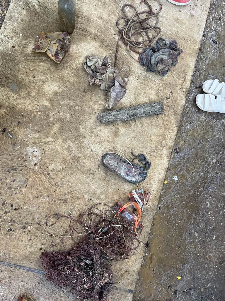
Big floodings and rains on the island mixed with not properly dumped trash
Covid test
Big rains and storms
1
2
Covid test
Medicine package
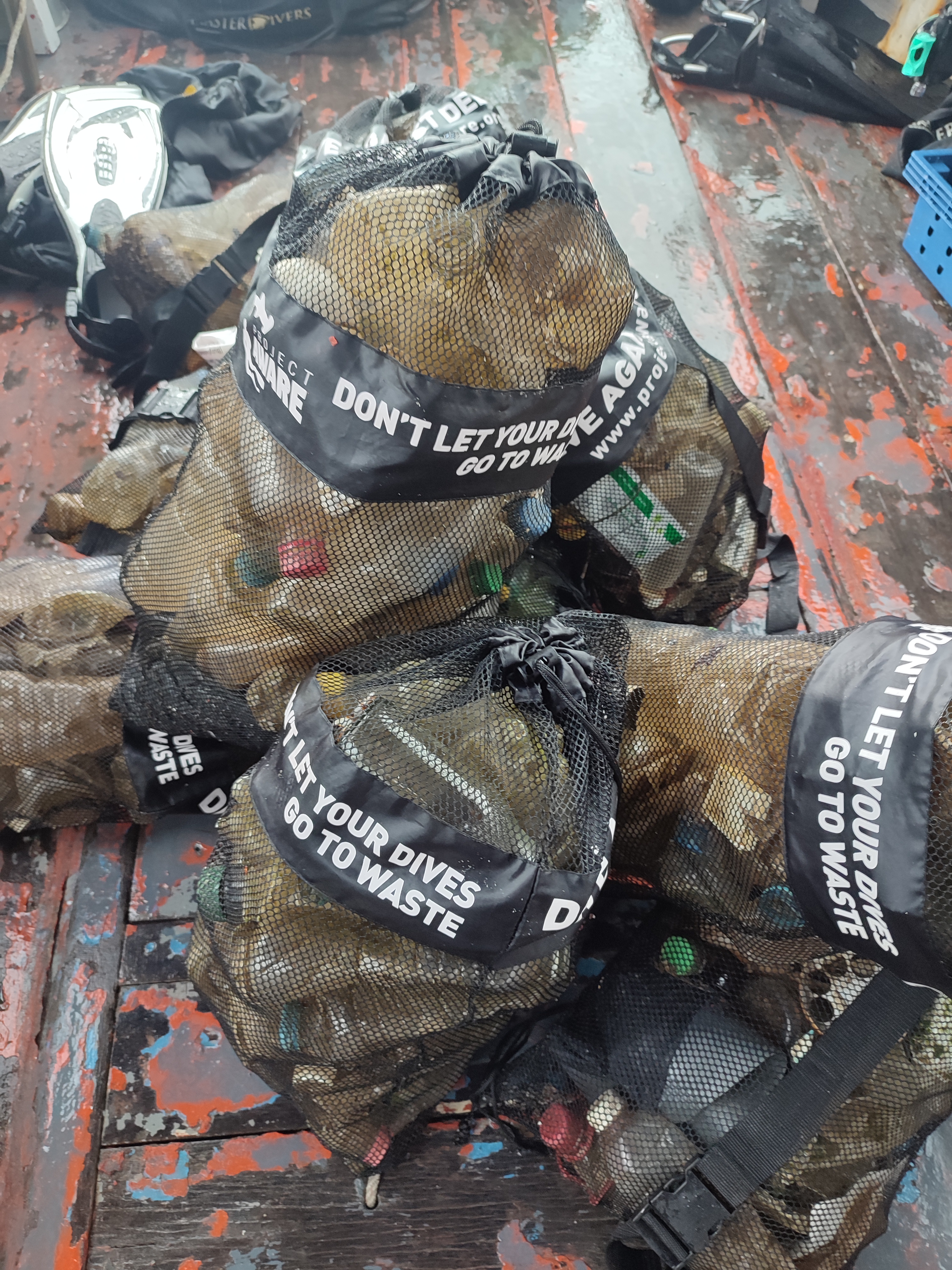
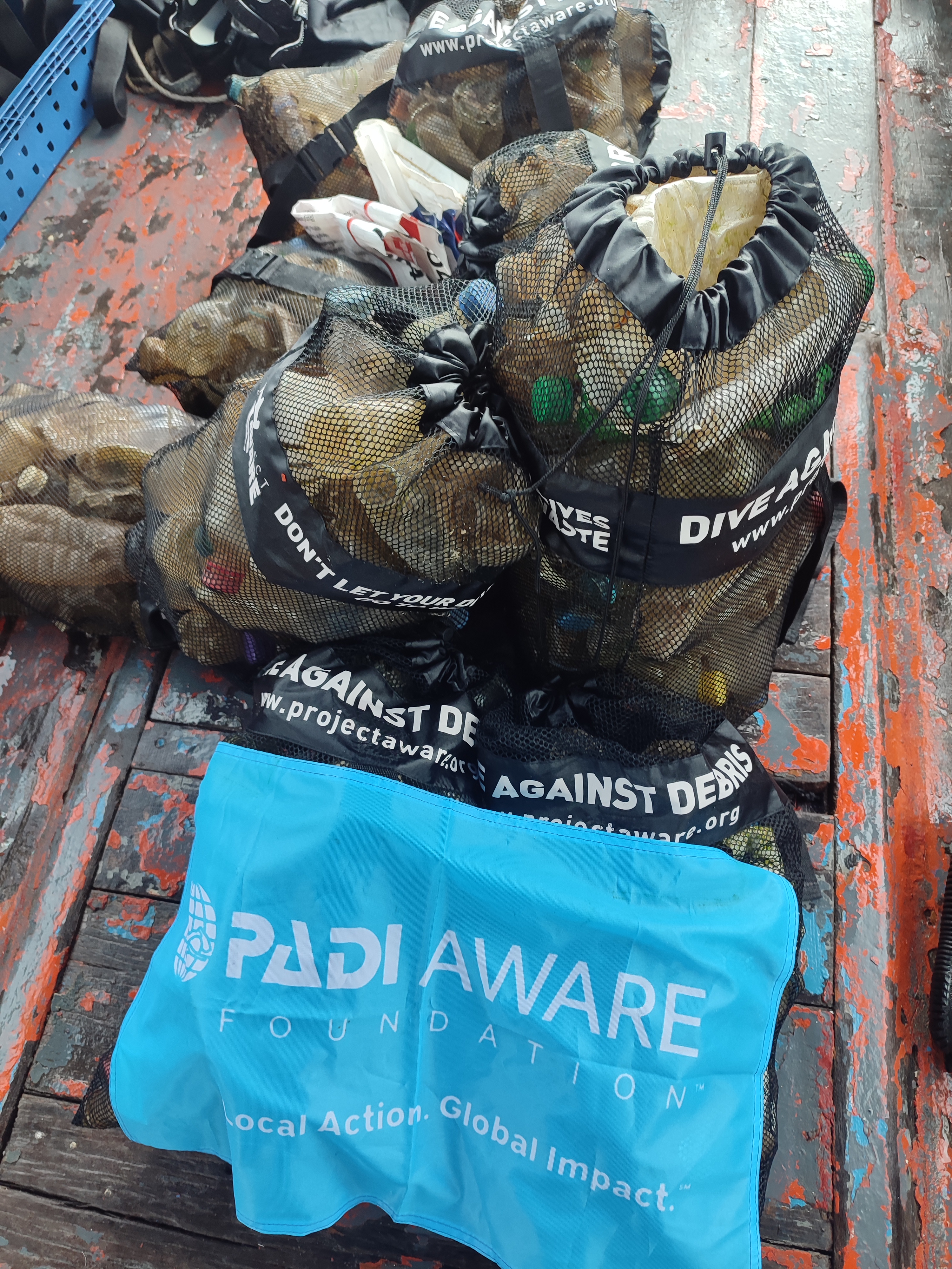
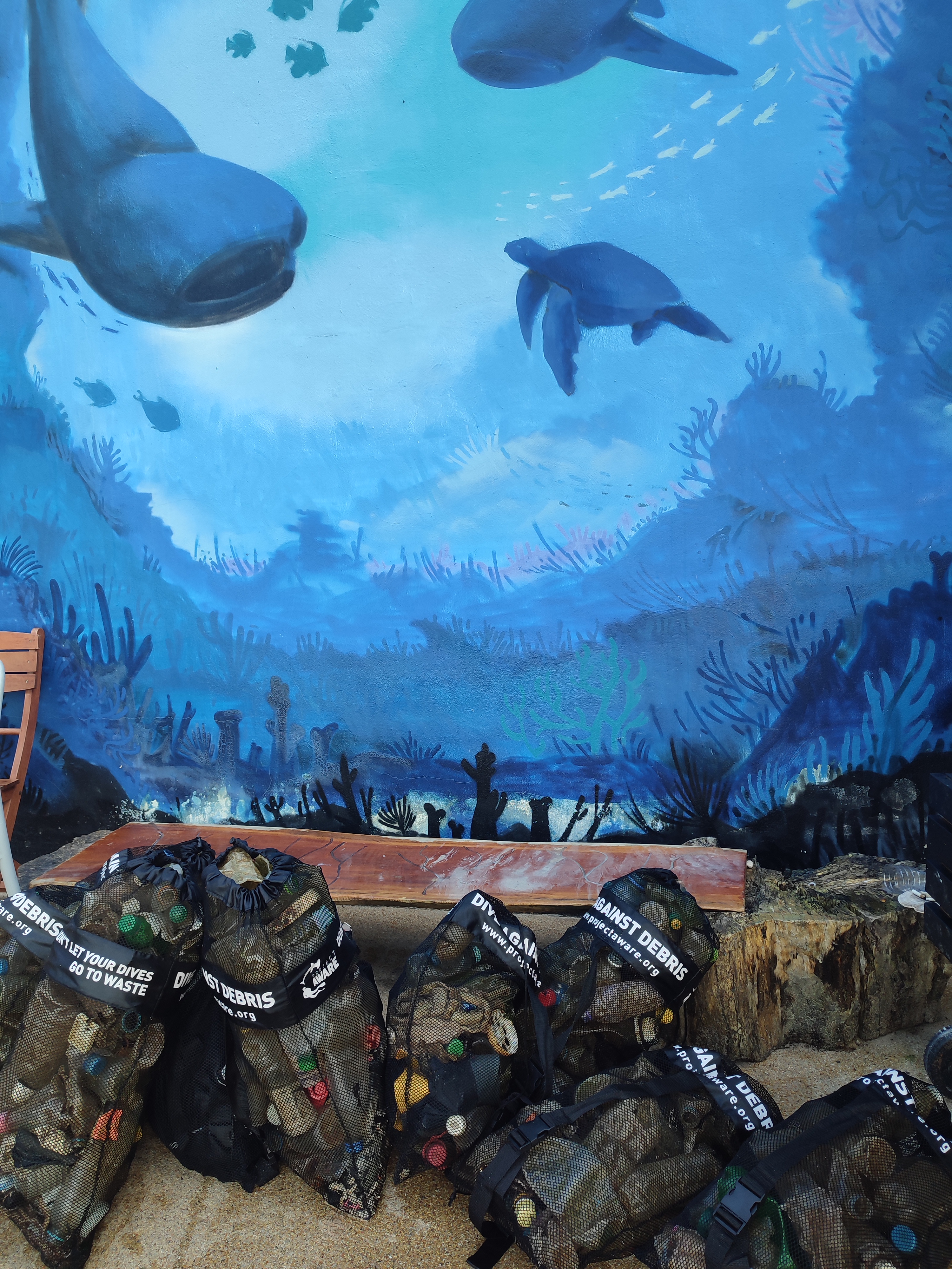
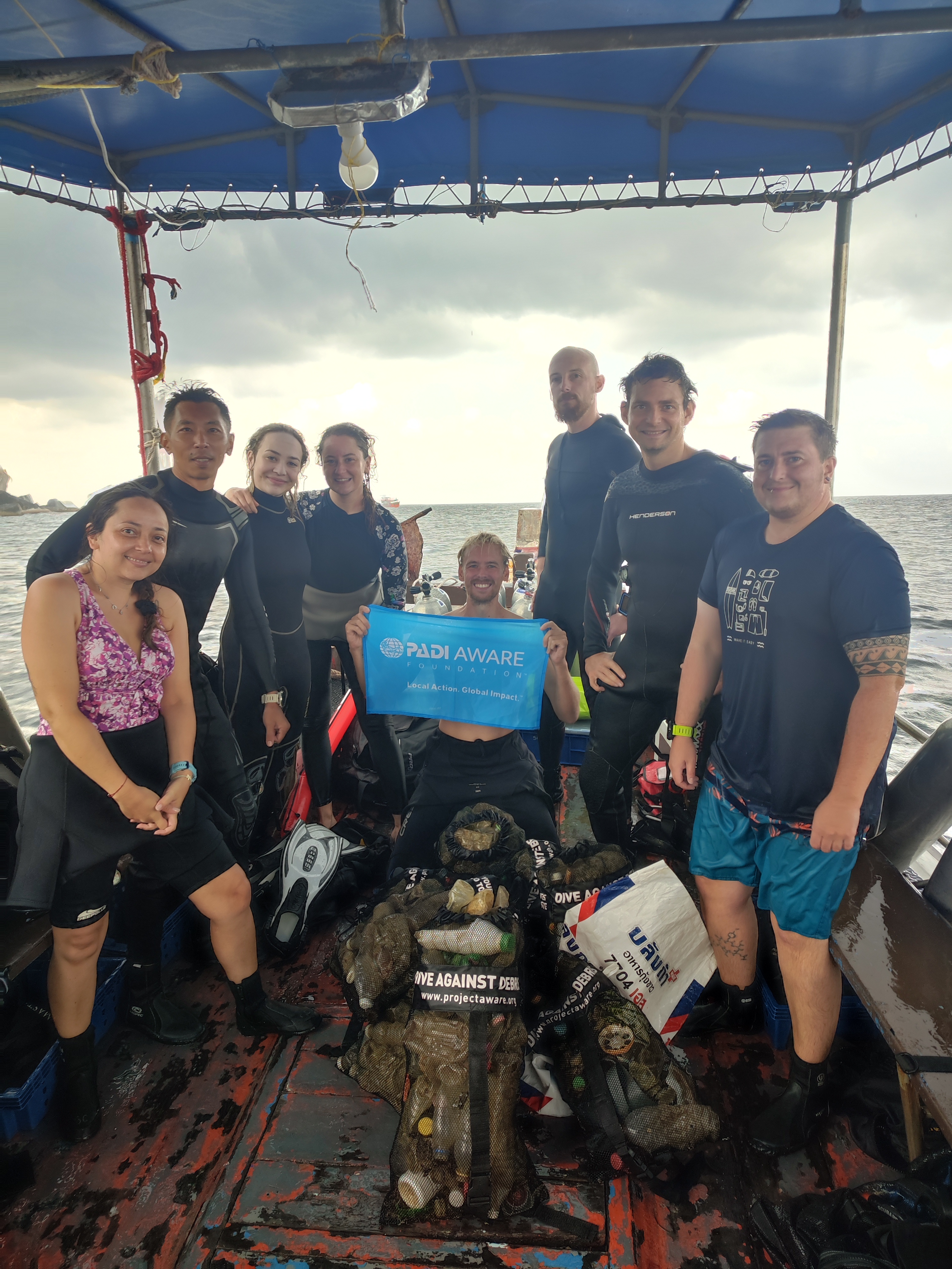
Master Divers
Viktoria Balogh
1
1
9
8
200
50
21.50
59
11.00
4.00
6
measured
9447.36
2
On
kilograms
I have debris data to report
19
Calm (glassy to rippled) for waves 0 – 0.1 meter high
1
2
4
4
m2
meters
coral reef
2
10
1
State\Province
Surat Thani
City
Koh Tao
Map Help
Dive Location
If you know your survey site coordinates, enter them manually in decimal degrees using WGS84 Map Datum. Use the minus sign for latitudes south of the equator and longitudes west of the Prime Meridian to 180 degrees.
If you do not know your survey site coordinates, click the “Map Location” tab to use the map to zoom into your survey site and drop the pin on the map to fall within your survey dive site in the water (not on land or the beach). Ensure you zoom in as much as possible to ensure data accuracy.
Entangled Help