Menu

Bio rock

20
1
0
0

-8.131599, 114.65823

0
0
0
sand
0
2
0
0
0
Yes
Tobacco package
Sunny
Abyss Ocean World
Yuri Kusumura
0
0
0
19
0
0
0
0
0
1
2
0
0
0
2
0
0
0
0
4
0
0
0
0
64
0
1
0
0
0
0
0
0
0
0
0
10.00
54
17.60
2.00
0
estimated
0
0
4169.95
0
0
0
0
0
Bags: trash (plastic)
0
On
kilograms
0
I have debris data to report
0
0
0
Calm (glassy to rippled) for waves 0 – 0.1 meter high
0
0
0
0
0
0
0
m2
0
0
meters
seagrass
0
0
0
0
0
0
0
0
0
0
0
0
0
0
0
0
0
0
0
0
0
0
0
0
0
0
0
0
0
Indonesia
State\Province
Bali
City
Pemuteran
Map Help


Dive Location

If you know your survey site coordinates, enter them manually in decimal degrees using WGS84 Map Datum. Use the minus sign for latitudes south of the equator and longitudes west of the Prime Meridian to 180 degrees.

If you do not know your survey site coordinates, click the “Map Location” tab to use the map to zoom into your survey site and drop the pin on the map to fall within your survey dive site in the water (not on land or the beach). Ensure you zoom in as much as possible to ensure data accuracy.

Entangled Help


Use the vertical tabs below to record any entangled animals you found of each type.

大崎ハナゴイリーフ

0
0
0
0

24.422144, 124.076852

0
0
0
coral
0
0
0
0
0
靴の中敷
CLOUDY
MOANAダイビングカレッジ石垣島
上田 智也
0
0
0
0
0
0
0
0
0
0
0
0
0
0
0
0
0
0
0
2
0
0
0
0
0
0
0
0
1
0
0
0
0
0
0
0
1.50
40
6.00
3.00
0
estimated
0
1
30.00
0
0
0
0
0
ペットボトル
ビン・缶
釣具ルアー
0
On
kilograms
0
I have debris data to report
0
0
0
Calm (glassy to rippled) for waves 0 – 0.1 meter high
0
0
1
0
1
0
0
m2
0
0
meters
coral reef
0
0
0
0
0
0
0
0
0
0
0
0
0
0
0
0
0
0
0
0
0
0
0
0
0
0
0
0
0
Japan
State\Province
OKINAWA
City
ISHIGAKI
Map Help


Dive Location

If you know your survey site coordinates, enter them manually in decimal degrees using WGS84 Map Datum. Use the minus sign for latitudes south of the equator and longitudes west of the Prime Meridian to 180 degrees.

If you do not know your survey site coordinates, click the “Map Location” tab to use the map to zoom into your survey site and drop the pin on the map to fall within your survey dive site in the water (not on land or the beach). Ensure you zoom in as much as possible to ensure data accuracy.
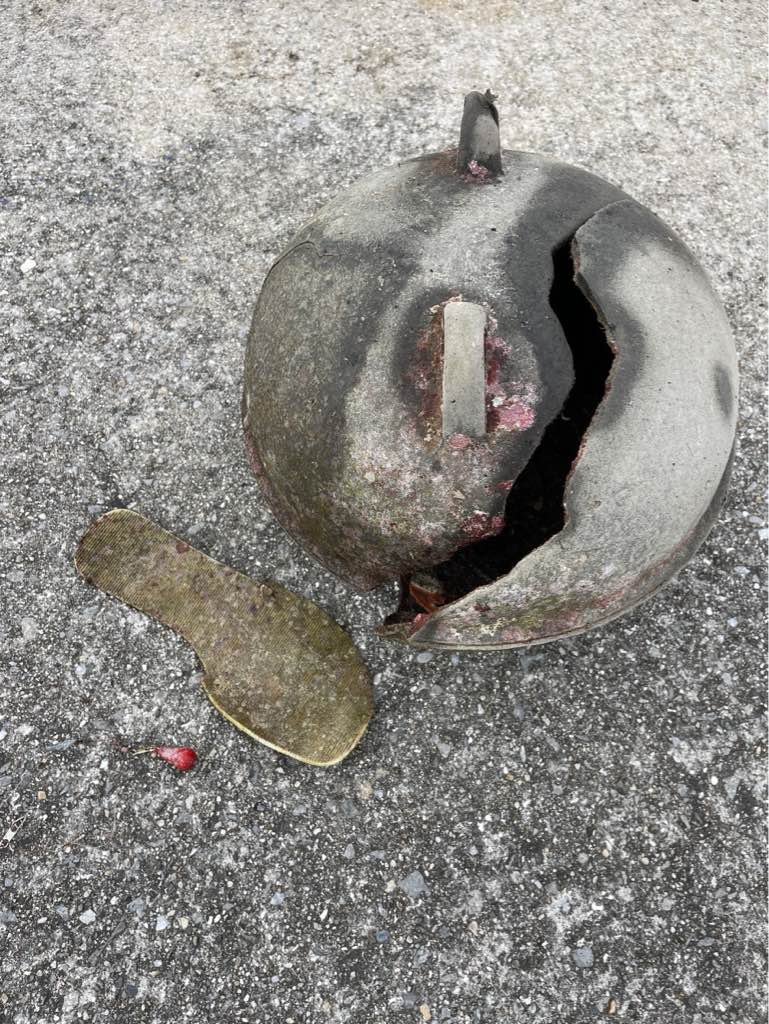
Entangled Help


Use the vertical tabs below to record any entangled animals you found of each type.

Blue lagoon Padang bai

0
0
2
0

-8.5296540869801, 115.51403449796

0
0
0
sand
0
0
0
1
0
Rainy
Intrinity divers
Rachel
0
0
0
1
0
0
0
0
0
0
0
0
0
0
2
0
0
0
0
2
0
0
0
0
1
0
1
0
0
0
0
0
0
0
0
0
1.00
75
18.00
3.00
0
estimated
0
0
1870.49
0
0
0
0
0
Diapers
0
On
kilograms
0
I have debris data to report
0
0
0
Smooth (wavelets) for waves 0.1 - 0.5 meter high
0
0
0
0
0
0
1
m2
0
0
meters
coral reef
0
0
0
0
0
0
0
0
0
0
0
0
0
0
0
0
0
0
0
0
0
0
0
0
0
0
0
0
0
Indonesia
State\Province
Bali
City
Padang bai
Map Help


Dive Location

If you know your survey site coordinates, enter them manually in decimal degrees using WGS84 Map Datum. Use the minus sign for latitudes south of the equator and longitudes west of the Prime Meridian to 180 degrees.

If you do not know your survey site coordinates, click the “Map Location” tab to use the map to zoom into your survey site and drop the pin on the map to fall within your survey dive site in the water (not on land or the beach). Ensure you zoom in as much as possible to ensure data accuracy.
Entangled Help


Use the vertical tabs below to record any entangled animals you found of each type.

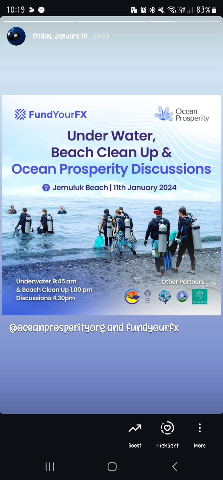
Jemeluk Bay - Amed

sand

-8.3381421559003, 115.66029399633

During rainy season in Bali, usually there are trashes float from Java island
Ocean Tree Bali, Eco Dive
I kadek artana
20
130.00
60
20.00
10.00
measured
500.00
On
kilograms
I have debris data to report
Smooth (wavelets) for waves 0.1 - 0.5 meter high m2
meters
coral reef
Indonesia
State\Province
Bali
City
Amed
Map Help


Dive Location

If you know your survey site coordinates, enter them manually in decimal degrees using WGS84 Map Datum. Use the minus sign for latitudes south of the equator and longitudes west of the Prime Meridian to 180 degrees.

If you do not know your survey site coordinates, click the “Map Location” tab to use the map to zoom into your survey site and drop the pin on the map to fall within your survey dive site in the water (not on land or the beach). Ensure you zoom in as much as possible to ensure data accuracy.
Entangled Help


Use the vertical tabs below to record any entangled animals you found of each type.

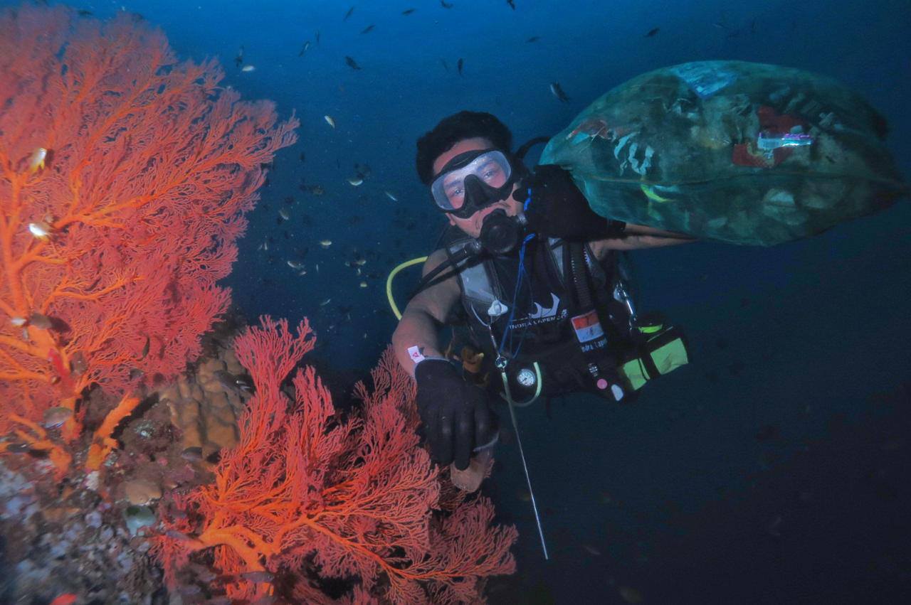
Folkstone Wrecks

0
0
0
0

13.17821312779, -59.569799877026

0
0
0
coral
0
2
0
0
0
Common area for day cruises to stop and things to go overboard
Shirt
North swell affecting the coast
Salt and Sea Scuba
Karina Tatem
0
0
0
1
0
0
0
0
0
0
0
0
0
0
0
0
0
0
0
3
0
0
0
0
0
0
0
0
0
0
0
0
0
0
0
0
2.00
42
45.00
19.00
0
estimated
0
0
5848.55
0
0
0
0
0
Plastic bags
0
On
pounds
0
I have debris data to report
0
0
0
Slight for waves 0.5 -1.25 meter high
0
0
0
0
0
0
0
m2
0
0
feet
coral reef
0
0
0
0
0
0
0
0
0
1
0
0
0
0
0
0
0
0
0
0
0
0
0
0
0
0
0
0
0
Barbados
City
Holetown
Map Help


Dive Location

If you know your survey site coordinates, enter them manually in decimal degrees using WGS84 Map Datum. Use the minus sign for latitudes south of the equator and longitudes west of the Prime Meridian to 180 degrees.

If you do not know your survey site coordinates, click the “Map Location” tab to use the map to zoom into your survey site and drop the pin on the map to fall within your survey dive site in the water (not on land or the beach). Ensure you zoom in as much as possible to ensure data accuracy.
Entangled Help


Use the vertical tabs below to record any entangled animals you found of each type.

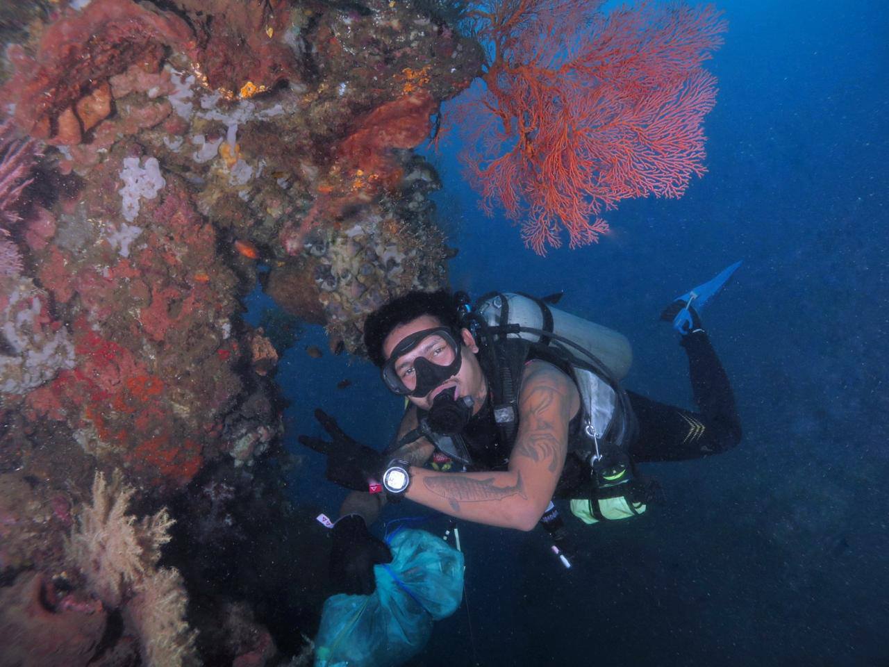
Davie’s Reef

0
0
0
0

13.1883624, -59.6407259

0
0
0
coral
0
0
0
0
0
Consistent day cruises in area
Part of a flip flop
Salt & Sea Scuba
Karina Tatem
0
0
0
0
0
0
0
0
1
0
0
0
0
0
0
0
0
0
0
4
0
0
0
0
0
0
0
0
0
0
0
0
0
0
0
0
10.00
55
70.00
20.00
0
estimated
0
0
2947.38
0
0
0
0
0
glass bottles
0
On
pounds
0
I have debris data to report
9
0
0
Calm (glassy to rippled) for waves 0 – 0.1 meter high
0
0
1
0
0
0
0
m2
0
0
feet
coral reef
0
0
0
0
0
0
0
0
0
1
0
0
0
0
0
0
0
0
0
0
0
0
0
0
0
0
0
0
0
Barbados
City
Holetown
Map Help


Dive Location

If you know your survey site coordinates, enter them manually in decimal degrees using WGS84 Map Datum. Use the minus sign for latitudes south of the equator and longitudes west of the Prime Meridian to 180 degrees.

If you do not know your survey site coordinates, click the “Map Location” tab to use the map to zoom into your survey site and drop the pin on the map to fall within your survey dive site in the water (not on land or the beach). Ensure you zoom in as much as possible to ensure data accuracy.
Entangled Help


Use the vertical tabs below to record any entangled animals you found of each type.

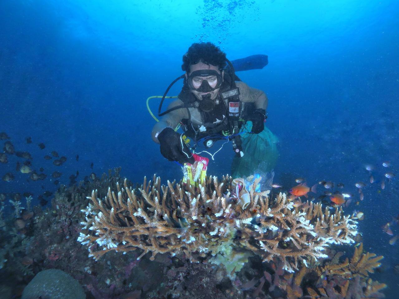
ADS528 - Radazul

0
180
0
0

28.401185814761, -16.324035648787

0
0
0
sand
0
0
0
0
0
Scubanana Cleanup
SCUBANANA
Silvia
0
0
0
0
0
0
0
0
0
0
0
0
0
0
0
0
0
0
1
8
0
0
0
0
0
0
0
0
0
0
0
0
0
0
0
0
2.10
45
14.00
10.00
0
measured
0
0
7814.76
0
0
0
1
0
Plástico
Glasés
0
On
kilograms
0
I have debris data to report
0
0
0
Calm (glassy to rippled) for waves 0 – 0.1 meter high
5
18
0
0
9
0
0
m2
0
0
meters
rocky reef
1
0
0
0
0
0
0
0
0
0
0
0
0
0
0
0
0
0
0
0
0
0
13
0
0
0
0
0
0
Spain
State\Province
Santa Cruz de Tenerife
City
Radazul
Map Help


Dive Location

If you know your survey site coordinates, enter them manually in decimal degrees using WGS84 Map Datum. Use the minus sign for latitudes south of the equator and longitudes west of the Prime Meridian to 180 degrees.

If you do not know your survey site coordinates, click the “Map Location” tab to use the map to zoom into your survey site and drop the pin on the map to fall within your survey dive site in the water (not on land or the beach). Ensure you zoom in as much as possible to ensure data accuracy.
Entangled Help


Use the vertical tabs below to record any entangled animals you found of each type.

Lighthouse / Bannerfish Bay

2
83
0
0

28.498747, 34.51991

0
0
0
sand
0
0
0
1
0
No
Dry and sunny. Some windy days.
22
Chewing gum
Red Sea Tribe
Rachel Shelley
0
0
0
37
367
0
0
0
0
0
1
0
0
0
0
0
0
0
140
4
0
0
0
0
0
0
3
0
0
0
0
0
0
0
0
0
1.50
43
16.50
1.00
0
estimated
0
0
0
0
11349.20
0
0
0
0
0
Cigarette butts
Plastic fragments
Paper and card fragments
0
On
kilograms
0
I have debris data to report
0
0
0
Smooth (wavelets) for waves 0.1 - 0.5 meter high
2
0
0
0
0
0
0
m2
0
0
meters
coral reef
0
0
0
0
0
5
0
6
0
179
0
0
0
19
0
0
0
0
0
0
0
0
31
0
0
0
0
0
0
Egypt
State\Province
South Sinai
City
Dahab
Map Help


Dive Location

If you know your survey site coordinates, enter them manually in decimal degrees using WGS84 Map Datum. Use the minus sign for latitudes south of the equator and longitudes west of the Prime Meridian to 180 degrees.

If you do not know your survey site coordinates, click the “Map Location” tab to use the map to zoom into your survey site and drop the pin on the map to fall within your survey dive site in the water (not on land or the beach). Ensure you zoom in as much as possible to ensure data accuracy.
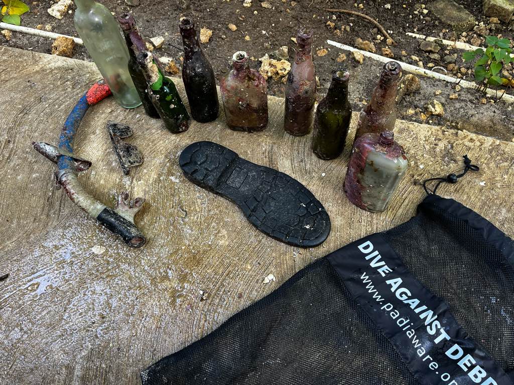
Entangled Help


Use the vertical tabs below to record any entangled animals you found of each type.

Sakieda Beach, Ishigaki Island, Okinawa, Japan

99
coral

24.452171059763, 124.0877382951

71.132419045%
Kotaro Horiuchi
5
110.00
40
10.00
4.00
measured
250.00
On
kilograms
I have debris data to report
Calm (glassy to rippled) for waves 0 – 0.1 meter high m2
8
meters
coral reef
3
Japan
State\Province
Okinawa
City
Ishigaki
Map Help


Dive Location

If you know your survey site coordinates, enter them manually in decimal degrees using WGS84 Map Datum. Use the minus sign for latitudes south of the equator and longitudes west of the Prime Meridian to 180 degrees.

If you do not know your survey site coordinates, click the “Map Location” tab to use the map to zoom into your survey site and drop the pin on the map to fall within your survey dive site in the water (not on land or the beach). Ensure you zoom in as much as possible to ensure data accuracy.

Entangled Help


Use the vertical tabs below to record any entangled animals you found of each type.

Gili Gede Wall

6
coral

-8.7247435190318, 115.92132473404

The current was really strong
Bad
7
1
Laundry wrapped
Hard Plastic
SORCE
Brilly
1
5
6
1.70
45
18.00
5.00
measured
11372.00
On
kilograms
I have debris data to report
Smooth (wavelets) for waves 0.1 - 0.5 meter high m2
meters
coral reef
Indonesia
State\Province
WEST NUSA TENGGARA
City
SEKOTONG
Map Help


Dive Location

If you know your survey site coordinates, enter them manually in decimal degrees using WGS84 Map Datum. Use the minus sign for latitudes south of the equator and longitudes west of the Prime Meridian to 180 degrees.

If you do not know your survey site coordinates, click the “Map Location” tab to use the map to zoom into your survey site and drop the pin on the map to fall within your survey dive site in the water (not on land or the beach). Ensure you zoom in as much as possible to ensure data accuracy.

Entangled Help


Use the vertical tabs below to record any entangled animals you found of each type.

Subscribe to