Menu

Obhur

0
1
0
0

21.752038137853, 39.055148651282

0
0
0
coral
0
0
0
10
0
No
Pipe
Calm
Padi
Dalal
0
1
0
1
0
0
0
0
0
0
0
0
0
3
0
0
0
0
0
2
0
0
0
0
0
0
3
0
0
0
0
0
0
0
0
0
2.75
70
18.00
5.00
0
measured
0
10
196.81
0
0
0
0
0
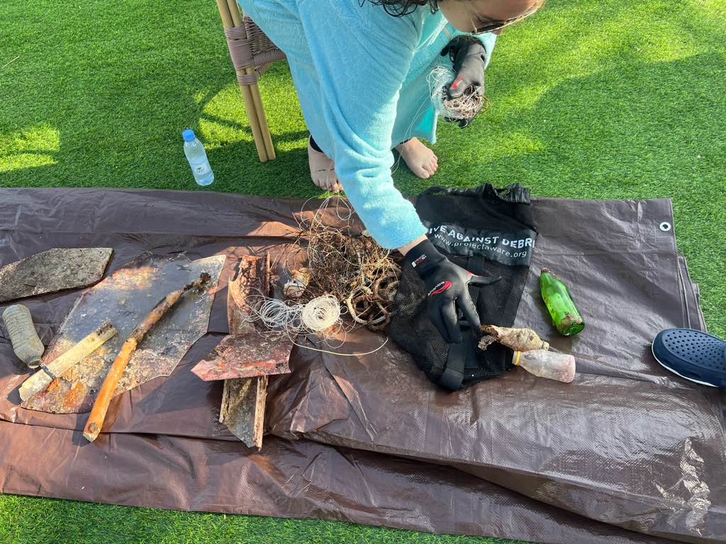
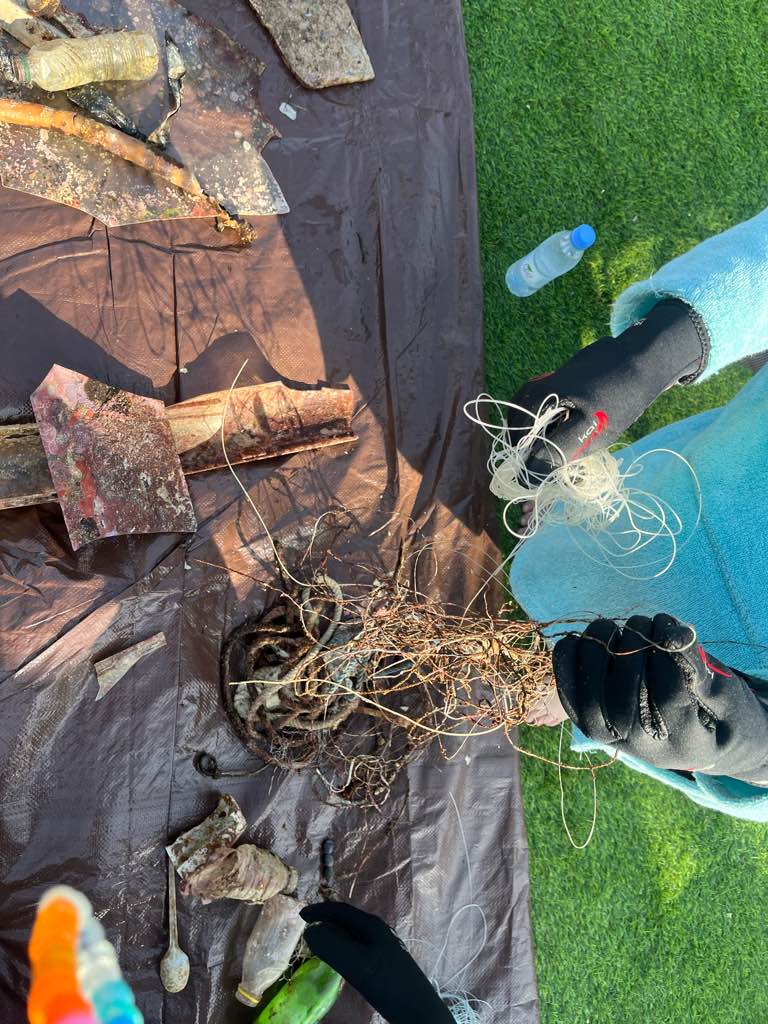
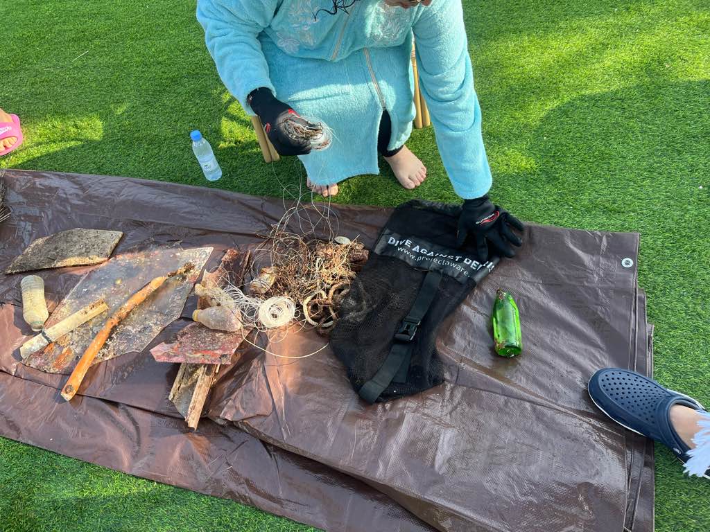
Fishing lines
Plastic bottles
0
On
kilograms
0
I have debris data to report
2
0
0
Smooth (wavelets) for waves 0.1 - 0.5 meter high
0
0
0
0
0
0
0
m2
3
0
meters
coral reef
0
0
0
0
0
0
0
0
0
0
0
0
0
0
0
0
0
0
0
0
0
0
0
0
0
0
0
2
0
Saudi Arabia
State\Province
Western
City
Jeddah
Map Help


Dive Location

If you know your survey site coordinates, enter them manually in decimal degrees using WGS84 Map Datum. Use the minus sign for latitudes south of the equator and longitudes west of the Prime Meridian to 180 degrees.

If you do not know your survey site coordinates, click the “Map Location” tab to use the map to zoom into your survey site and drop the pin on the map to fall within your survey dive site in the water (not on land or the beach). Ensure you zoom in as much as possible to ensure data accuracy.

Entangled Help


Use the vertical tabs below to record any entangled animals you found of each type.

Hardeep wreck

1
0
0
0

12.31958, 100.982

0
0
0
sand
0
0
0
0
0
Fine
Pattaya dive centre
Troy Jamieson
0
0
0
0
0
0
0
0
0
0
0
0
0
0
0
0
0
0
0
2
0
0
0
0
0
0
0
0
0
0
0
0
0
0
0
0
0.01
30
30.00
25.00
0
estimated
0
0
150.00
0
0
0
0
0
0
On
kilograms
0
I have debris data to report
0
0
0
Calm (glassy to rippled) for waves 0 – 0.1 meter high
0
0
0
0
0
0
0
m2
0
0
meters
other
0
0
0
0
0
0
0
0
0
0
0
0
0
0
0
0
0
0
0
0
0
0
0
0
0
0
0
0
0
Thailand
State\Province
Chomburi
City
Pattaya
Map Help


Dive Location

If you know your survey site coordinates, enter them manually in decimal degrees using WGS84 Map Datum. Use the minus sign for latitudes south of the equator and longitudes west of the Prime Meridian to 180 degrees.

If you do not know your survey site coordinates, click the “Map Location” tab to use the map to zoom into your survey site and drop the pin on the map to fall within your survey dive site in the water (not on land or the beach). Ensure you zoom in as much as possible to ensure data accuracy.
Entangled Help


Use the vertical tabs below to record any entangled animals you found of each type.

Ecosystem Other
Wreck

ADS525 - Padang Bai Jetty

19
31

-8.5144912530887, 115.51099506096

2
sand
12
AquaMarine Diving - Bali
Syainal Hamid
5
2
3
1
2
3.70
35
14.00
7.00
measured
51
1100.00
On
kilograms
I have debris data to report
Calm (glassy to rippled) for waves 0 – 0.1 meter high m2
meters
coral reef
1
1
Indonesia
State\Province
Bali
City
Padang bai, Amuk Bay
Map Help


Dive Location

If you know your survey site coordinates, enter them manually in decimal degrees using WGS84 Map Datum. Use the minus sign for latitudes south of the equator and longitudes west of the Prime Meridian to 180 degrees.

If you do not know your survey site coordinates, click the “Map Location” tab to use the map to zoom into your survey site and drop the pin on the map to fall within your survey dive site in the water (not on land or the beach). Ensure you zoom in as much as possible to ensure data accuracy.

Entangled Help


Use the vertical tabs below to record any entangled animals you found of each type.

Padang Bai - Blue Lagoon

7

-8.5144912530887, 115.51099506096

sand
3
AquaMarine Diving - Bali
Mitra
1
3
2
0.40
43
23.00
10.00
measured
1000.00
On
kilograms
I have debris data to report
Calm (glassy to rippled) for waves 0 – 0.1 meter high m2
meters
coral reef
Indonesia
State\Province
Bali
City
Padang Bai
Map Help


Dive Location

If you know your survey site coordinates, enter them manually in decimal degrees using WGS84 Map Datum. Use the minus sign for latitudes south of the equator and longitudes west of the Prime Meridian to 180 degrees.

If you do not know your survey site coordinates, click the “Map Location” tab to use the map to zoom into your survey site and drop the pin on the map to fall within your survey dive site in the water (not on land or the beach). Ensure you zoom in as much as possible to ensure data accuracy.

Entangled Help


Use the vertical tabs below to record any entangled animals you found of each type.

Padang Bai - Blue Lagoon

2

-8.5144912530887, 115.51099506096

sand
2
AquaMarine Diving - Bali
Fahmi
3
0.80
45
23.00
5.00
measured
1000.00
On
kilograms
I have debris data to report
Calm (glassy to rippled) for waves 0 – 0.1 meter high
2
m2
meters
coral reef
Indonesia
State\Province
Bali
City
Padang Bai
Map Help


Dive Location

If you know your survey site coordinates, enter them manually in decimal degrees using WGS84 Map Datum. Use the minus sign for latitudes south of the equator and longitudes west of the Prime Meridian to 180 degrees.

If you do not know your survey site coordinates, click the “Map Location” tab to use the map to zoom into your survey site and drop the pin on the map to fall within your survey dive site in the water (not on land or the beach). Ensure you zoom in as much as possible to ensure data accuracy.

Entangled Help


Use the vertical tabs below to record any entangled animals you found of each type.

ADS525 - Padang Bai Jetty

6
18
1
3

-8.5144912530887, 115.51099506096

sand
4
3
AquaMarine Diving - Bali
Syainal Hamid
1
1
4
1
2
1
1
2.70
42
18.00
12.00
1
measured
1100.00
On
kilograms
I have debris data to report
Smooth (wavelets) for waves 0.1 - 0.5 meter high
1
2
m2
meters
coral reef
Indonesia
State\Province
Bali
City
Padang bai, Amuk Bay
Map Help


Dive Location

If you know your survey site coordinates, enter them manually in decimal degrees using WGS84 Map Datum. Use the minus sign for latitudes south of the equator and longitudes west of the Prime Meridian to 180 degrees.

If you do not know your survey site coordinates, click the “Map Location” tab to use the map to zoom into your survey site and drop the pin on the map to fall within your survey dive site in the water (not on land or the beach). Ensure you zoom in as much as possible to ensure data accuracy.

Entangled Help


Use the vertical tabs below to record any entangled animals you found of each type.

Padang Bai - Blue Lagoon

3
1

-8.5144912530887, 115.51099506096

sand
9
3
8.534165
AquaMarine Diving - Bali
Ketut Mitra
4
2
1.51
42
20.00
10.00
measured
1000.00
On
kilograms
I have debris data to report
Calm (glassy to rippled) for waves 0 – 0.1 meter high
1
m2
2
meters
coral reef
1
Indonesia
State\Province
Bali
City
Padang Bai - Blue Lagoon
Map Help


Dive Location

If you know your survey site coordinates, enter them manually in decimal degrees using WGS84 Map Datum. Use the minus sign for latitudes south of the equator and longitudes west of the Prime Meridian to 180 degrees.

If you do not know your survey site coordinates, click the “Map Location” tab to use the map to zoom into your survey site and drop the pin on the map to fall within your survey dive site in the water (not on land or the beach). Ensure you zoom in as much as possible to ensure data accuracy.

Entangled Help


Use the vertical tabs below to record any entangled animals you found of each type.

ADS525 - Padang Bai Jetty

8
23
4

-8.5144912530887, 115.51099506096

sand
6
Cloudy
Sunny
AquaMarine Diving - Bali
Syainal Hamid
4
9
1
1.90
30
16.00
6.00
measured
1100.00
On
kilograms
I have debris data to report
Calm (glassy to rippled) for waves 0 – 0.1 meter high
1
3
m2
2
meters
coral reef
Indonesia
State\Province
Bali
City
Padang bai, Amuk Bay
Map Help


Dive Location

If you know your survey site coordinates, enter them manually in decimal degrees using WGS84 Map Datum. Use the minus sign for latitudes south of the equator and longitudes west of the Prime Meridian to 180 degrees.

If you do not know your survey site coordinates, click the “Map Location” tab to use the map to zoom into your survey site and drop the pin on the map to fall within your survey dive site in the water (not on land or the beach). Ensure you zoom in as much as possible to ensure data accuracy.

Entangled Help


Use the vertical tabs below to record any entangled animals you found of each type.

ADS525 - Padang Bai Jetty

11
10

-8.5144912530887, 115.51099506096

1
sand
5
7
Cloudy
Sunny
AquaMarine Diving - Bali
Aramita Livia
1
4
8
1
5.40
40
16.00
2.00
4
measured
1000.00
On
kilograms
I have debris data to report
2
Calm (glassy to rippled) for waves 0 – 0.1 meter high
7
m2
meters
coral reef
6
1
5
Indonesia
State\Province
Bali
City
Padang bai, Amuk Bay
Map Help


Dive Location

If you know your survey site coordinates, enter them manually in decimal degrees using WGS84 Map Datum. Use the minus sign for latitudes south of the equator and longitudes west of the Prime Meridian to 180 degrees.

If you do not know your survey site coordinates, click the “Map Location” tab to use the map to zoom into your survey site and drop the pin on the map to fall within your survey dive site in the water (not on land or the beach). Ensure you zoom in as much as possible to ensure data accuracy.

Entangled Help


Use the vertical tabs below to record any entangled animals you found of each type.

Padang Bai - Blue Lagoon

6

-8.5300954903897, 115.51422168032

sand
8
7
Raining
cloudy
Sunny
AquaMarine Diving - Bali
Syainal Hamid
2
2
4
12
1
0.94
34
14.00
5.00
measured
5
1000.00
On
kilograms
I have debris data to report
Smooth (wavelets) for waves 0.1 - 0.5 meter high
1
m2
meters
coral reef
Indonesia
State\Province
Bali
City
Padang Bai
Map Help


Dive Location

If you know your survey site coordinates, enter them manually in decimal degrees using WGS84 Map Datum. Use the minus sign for latitudes south of the equator and longitudes west of the Prime Meridian to 180 degrees.

If you do not know your survey site coordinates, click the “Map Location” tab to use the map to zoom into your survey site and drop the pin on the map to fall within your survey dive site in the water (not on land or the beach). Ensure you zoom in as much as possible to ensure data accuracy.

Entangled Help


Use the vertical tabs below to record any entangled animals you found of each type.

Subscribe to