Maliko Bay
0
0
0
0
20.937133, -156.340728
0
0
0
coral
0
0
0
30
0
No, but it's a local fishing spot
Several dozen feet of line wrapped around a turtle, especially the front left flipper. The turtle wasn't using the tangled flipper. The turtle approached us later in the dive, so we cut off the line that we could but were unable to free the flipper.
Men's swim trunks (deteriorated)
Sunny, minor swell, some rain the day before
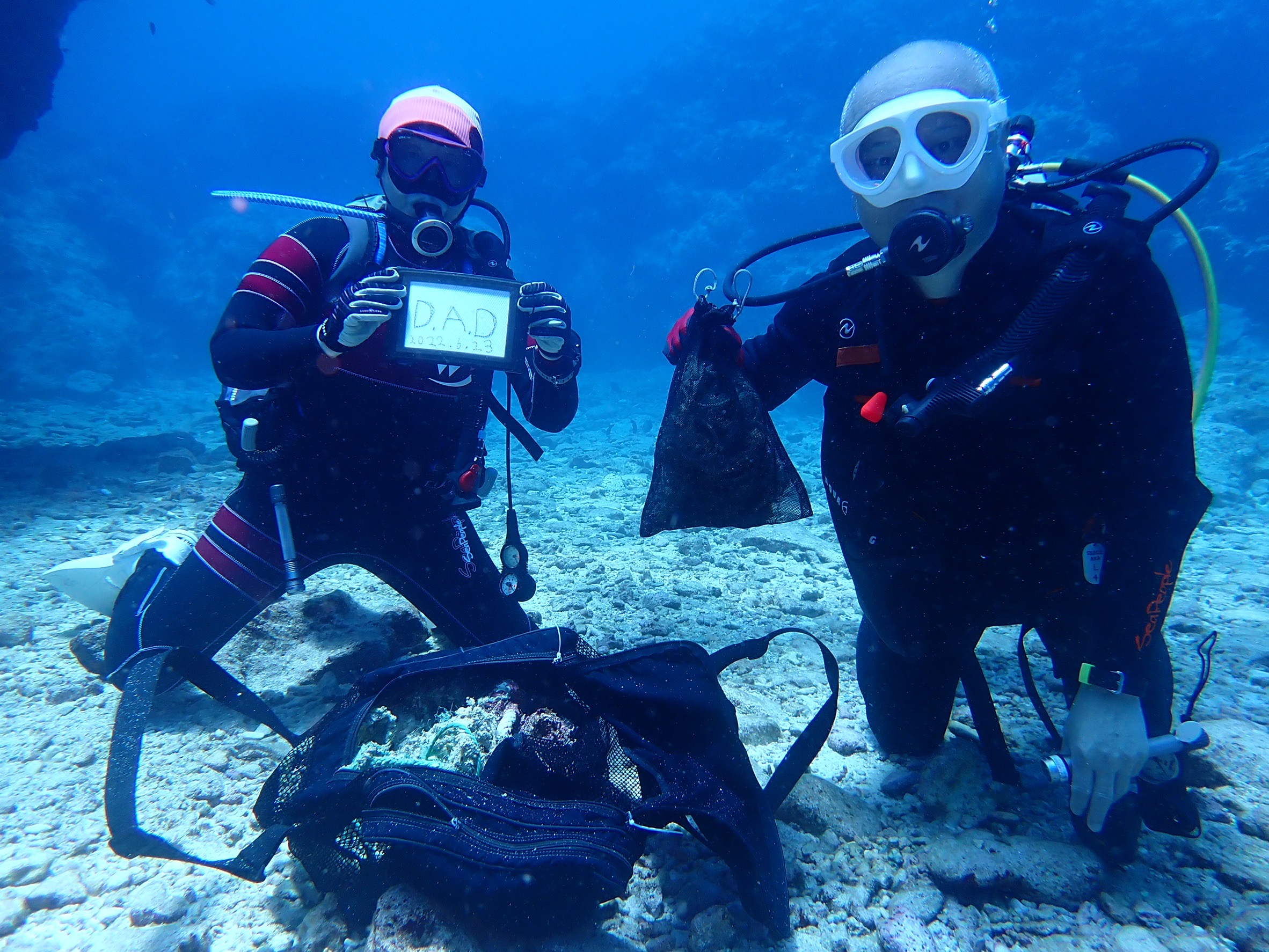
Alex
0
0
2
0
0
0
0
0
0
0
0
0
0
0
0
0
0
0
0
2
0
0
0
0
0
0
0
0
0
0
0
0
1
0
0
0
5.00
104
59.00
15.00
0
estimated
0
0
0
3
60522.80
0
0
0
0
0
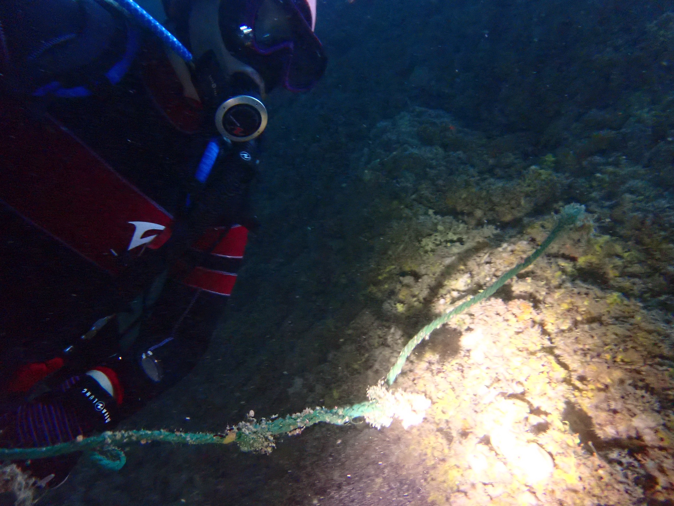
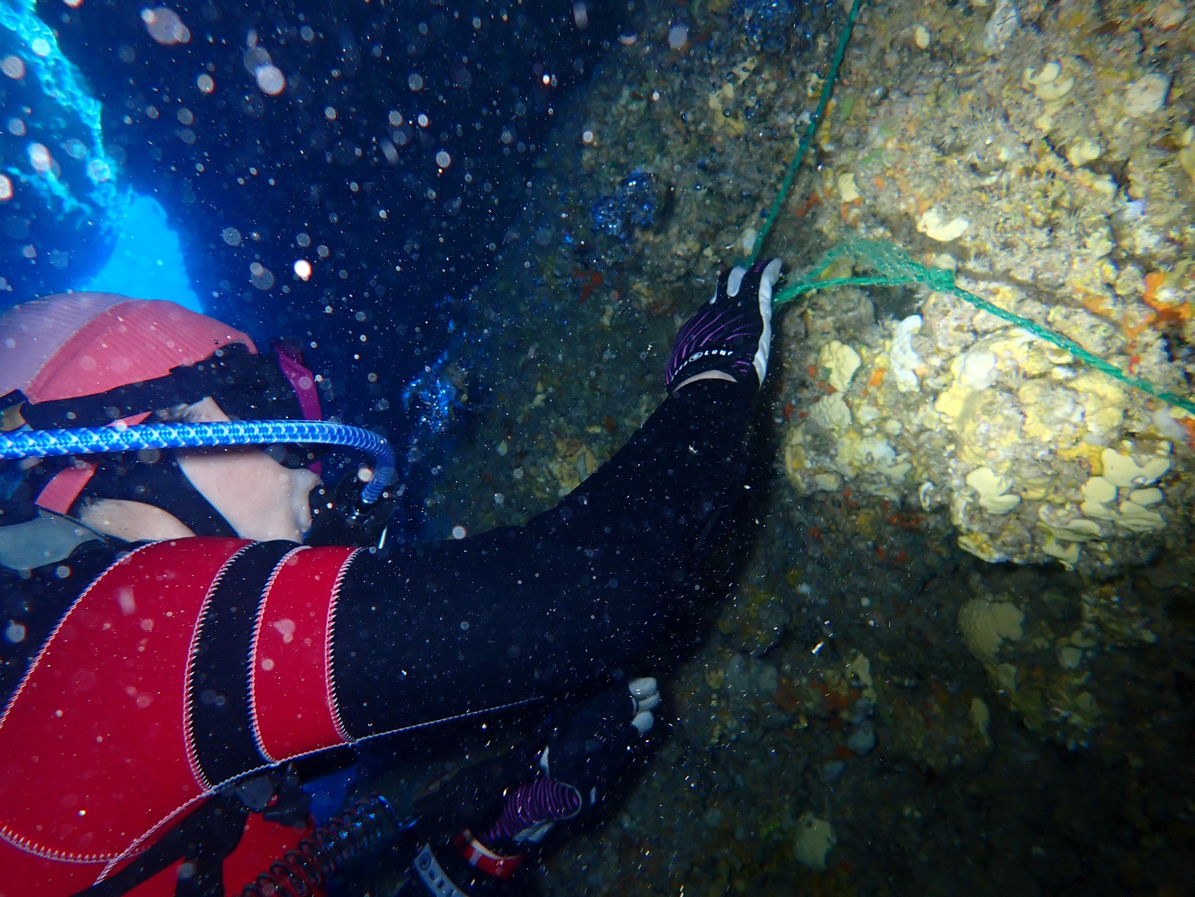
Fishing line
Fishing weights
Fishing debris
0
On
pounds
0
I have debris data to report
0
0
0
Smooth (wavelets) for waves 0.1 - 0.5 meter high
0
0
0
0
0
0
0
ft2
0
0
feet
coral reef
1
0
0
0
0
0
0
0
0
0
1
0
0
0
0
0
0
0
0
0
0
0
Fishing line
Injured
Green Sea Turtle
0
0
0
0
0
0
0
0
State\Province
Hawaii
City
Haiku-Pauwela
Map Help
Dive Location
If you know your survey site coordinates, enter them manually in decimal degrees using WGS84 Map Datum. Use the minus sign for latitudes south of the equator and longitudes west of the Prime Meridian to 180 degrees.
If you do not know your survey site coordinates, click the “Map Location” tab to use the map to zoom into your survey site and drop the pin on the map to fall within your survey dive site in the water (not on land or the beach). Ensure you zoom in as much as possible to ensure data accuracy.
Entangled Help