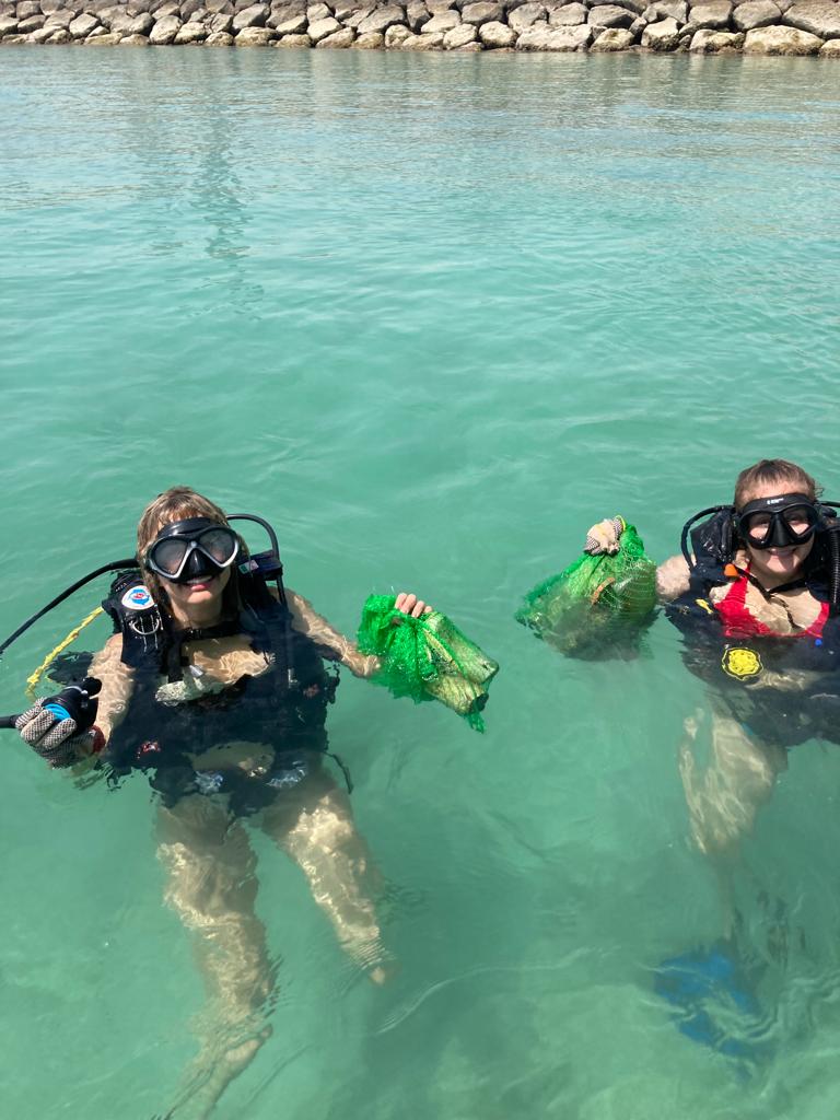
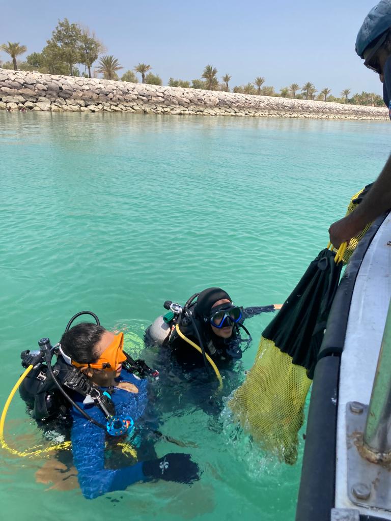
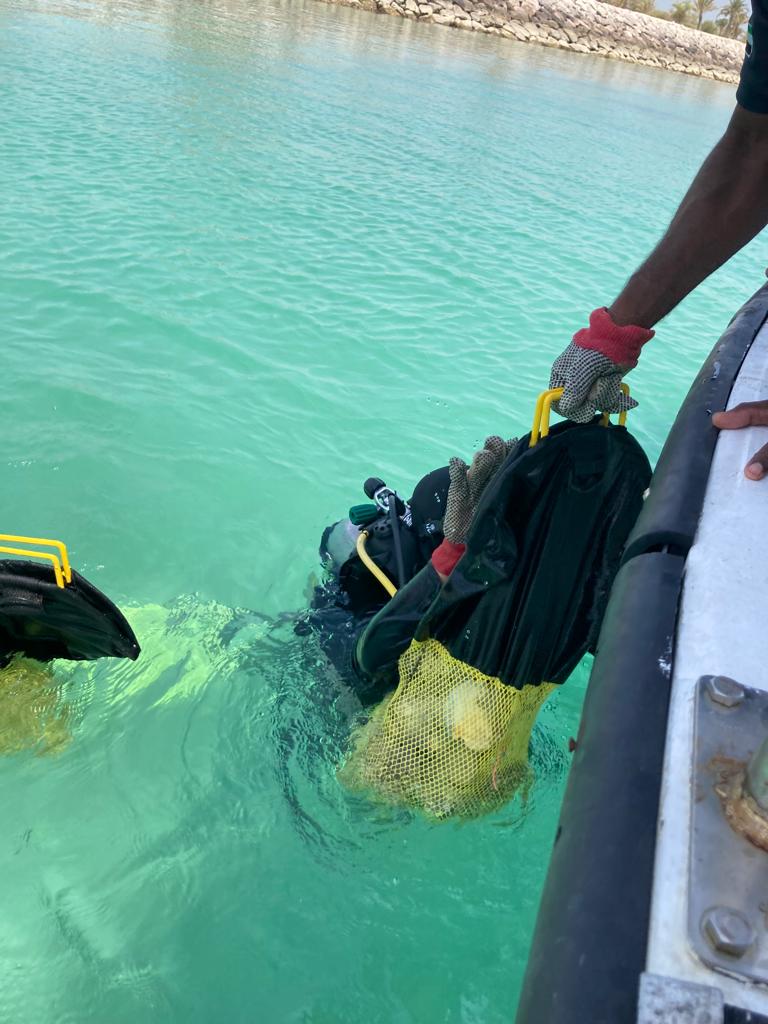
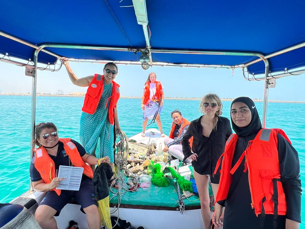
Menu

Lulu Island

3
12
7
rock
19
0
20
3

24.5003706, 54.3439824
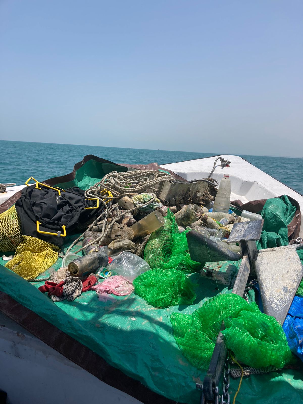
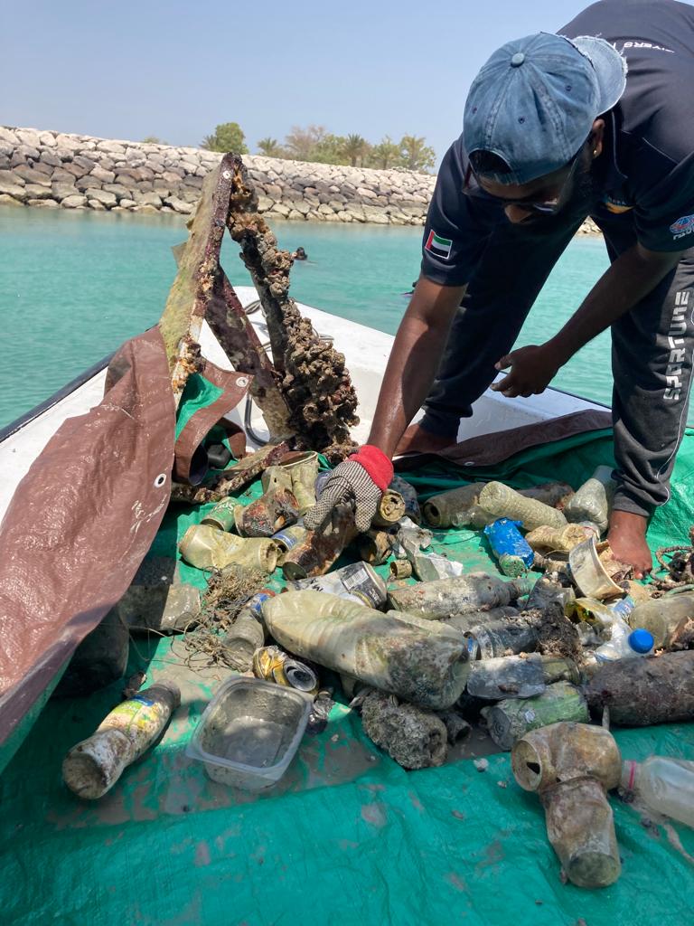
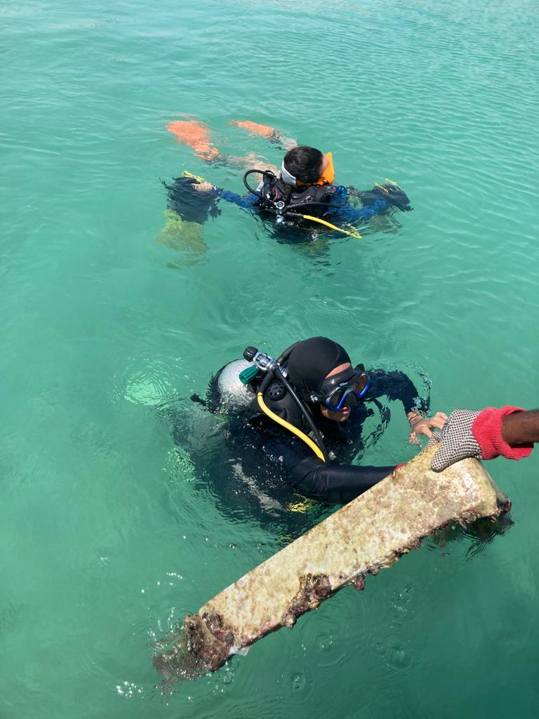
Steel Sheet
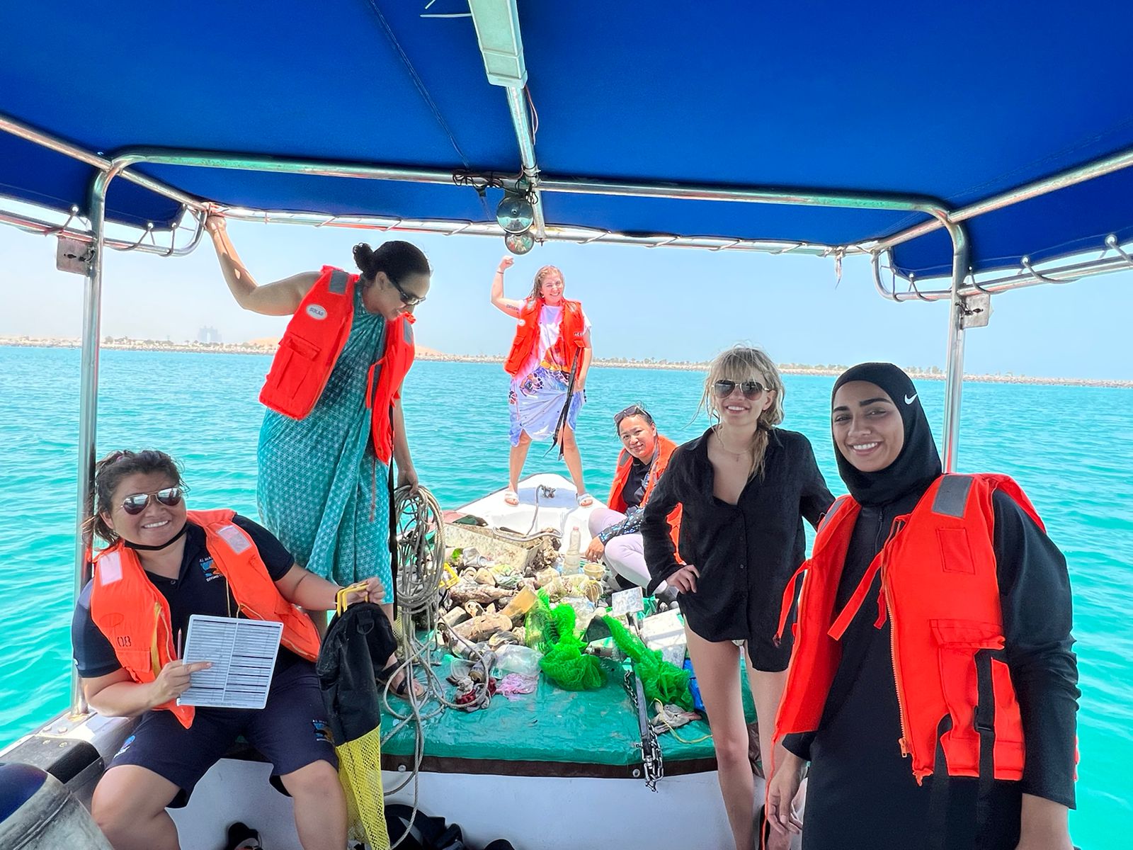
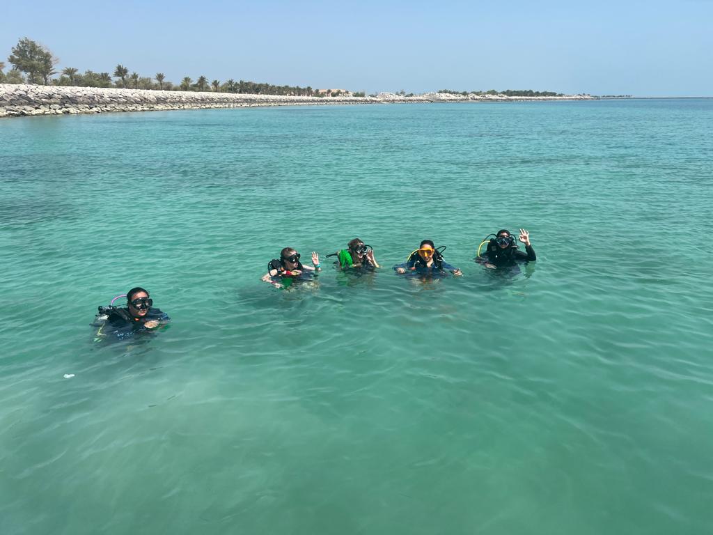
Al Mahara Diving Center
Kathleen Russell & Meitha Al Noori
3
2
0
3
0
0
0
0
8
1
0
22
7
0
12
12
74.00
45
4.00
2.00
32
measured
3
200.00
Alluminium Can
Plastic Bottles
Ropes
On
kilograms
I have debris data to report
12
1
Calm (glassy to rippled) for waves 0 – 0.1 meter high
3
m2
meters
seagrass
2
2
7
49
1
United Arab Emirates
State\Province
Abu Dhabi
City
Abu Dhabi
Map Help


Dive Location

If you know your survey site coordinates, enter them manually in decimal degrees using WGS84 Map Datum. Use the minus sign for latitudes south of the equator and longitudes west of the Prime Meridian to 180 degrees.

If you do not know your survey site coordinates, click the “Map Location” tab to use the map to zoom into your survey site and drop the pin on the map to fall within your survey dive site in the water (not on land or the beach). Ensure you zoom in as much as possible to ensure data accuracy.

Entangled Help


Use the vertical tabs below to record any entangled animals you found of each type.

Playa La Pinta

32
2
4

28.079966, -16.736118

3
sand
1
8

28.080142623298, -16.735747754574

More bins needed and enforcement on no smoking or just provide some sort of cigarette discarding if it cant be enforced.
No but there are no bins on the streets anymore.
They have all been removed and not replaced.
The government has banned smoking on the beach but little is being done to enforce this.
Yellow weather warning for strong winds
Excel Scuba Tenerife
David Holland
30
4
9
7
3
9
3
2
5
1
2.50
36
6.00
1.00
measured
20.00
Drinks cans, sharp and dangerous
Plastic food wrappers, look like Jellyfish and we have turtles here
wrist bands. Entanglement issue
On
kilograms
I have debris data to report
Calm (glassy to rippled) for waves 0 – 0.1 meter high m2
meters
rocky reef
8
Spain
State\Province
Tenerife Canary Islands
City
Costa Adeje
Map Help


Dive Location

If you know your survey site coordinates, enter them manually in decimal degrees using WGS84 Map Datum. Use the minus sign for latitudes south of the equator and longitudes west of the Prime Meridian to 180 degrees.

If you do not know your survey site coordinates, click the “Map Location” tab to use the map to zoom into your survey site and drop the pin on the map to fall within your survey dive site in the water (not on land or the beach). Ensure you zoom in as much as possible to ensure data accuracy.

Entangled Help


Use the vertical tabs below to record any entangled animals you found of each type.

Portmellon S24787

0
0
0
0

50.140501, -5.075884

0
0
0
rock
0
2
0
0
0
No
Rubber hose
Sunny
Viewpoint diving
David skinner
0
0
0
0
0
0
0
0
0
0
0
0
0
0
0
0
0
0
0
2
0
0
0
0
0
0
1
0
1
0
0
0
0
0
0
0
1.00
50
7.00
2.00
0
estimated
0
0
3677.16
0
0
0
1
0
Rubber hose
Fishing line
0
On
kilograms
0
I have debris data to report
0
0
0
Slight for waves 0.5 -1.25 meter high
0
0
0
0
0
0
0
m2
0
0
meters
rocky reef
0
0
0
0
0
0
0
0
0
0
0
0
0
0
0
0
0
0
0
0
0
0
0
0
0
0
0
0
0
United Kingdom
State\Province
Cornwall
City
Swanpool
Map Help


Dive Location

If you know your survey site coordinates, enter them manually in decimal degrees using WGS84 Map Datum. Use the minus sign for latitudes south of the equator and longitudes west of the Prime Meridian to 180 degrees.

If you do not know your survey site coordinates, click the “Map Location” tab to use the map to zoom into your survey site and drop the pin on the map to fall within your survey dive site in the water (not on land or the beach). Ensure you zoom in as much as possible to ensure data accuracy.

Entangled Help


Use the vertical tabs below to record any entangled animals you found of each type.

Black Turtle Reef #390016

11
69
15
0

10.08749, 99.82417

0
0
0
coral
0
59
0
24
3
Yes
Household
Good
Black Turtle Dive
Hana Cho
2
6
1
24
80
25
3
0
0
3
22
0
0
2
0
0
0
9
0
12
0
0
0
0
23
21
15
9
0
11
5
2
1
1
0
0
138.00
60
9.00
4.00
5
measured
0
0
2
0
4075.85
2
6
0
0
0
Plastic
0
On
kilograms
0
I have debris data to report
16
5
0
Calm (glassy to rippled) for waves 0 – 0.1 meter high
0
0
0
0
0
3
0
m2
17
3
meters
coral reef
21
0
2
16
0
5
0
0
0
0
0
0
0
0
2
0
14
12
0
2
0
2
12
0
0
5
9
6
0
Thailand
State\Province
Suratthani
City
Koh TAO
Map Help


Dive Location

If you know your survey site coordinates, enter them manually in decimal degrees using WGS84 Map Datum. Use the minus sign for latitudes south of the equator and longitudes west of the Prime Meridian to 180 degrees.

If you do not know your survey site coordinates, click the “Map Location” tab to use the map to zoom into your survey site and drop the pin on the map to fall within your survey dive site in the water (not on land or the beach). Ensure you zoom in as much as possible to ensure data accuracy.

Entangled Help


Use the vertical tabs below to record any entangled animals you found of each type.

The Landing

15
4
coral
2
13

20.0302733197, -155.83046933467

GIVE Group Dive Against Debris Specialty Certification Dive (PADI Project AWARE) through Kohala Divers LTD
King Kamehameha Day
cloth glove, underwear, golf balls
Windy
Kohala Divers LTD
Kay Cooper
3
1
15
10.00
30
20.00
8.00
estimated
6
270.00
4
fishing line
glass fragments
On
pounds
I have debris data to report
2
Smooth (wavelets) for waves 0.1 - 0.5 meter high
1
1
ft2
1
feet
coral reef
3
18
7
United States
State\Province
Hawaii
City
Kawaihae
Map Help


Dive Location

If you know your survey site coordinates, enter them manually in decimal degrees using WGS84 Map Datum. Use the minus sign for latitudes south of the equator and longitudes west of the Prime Meridian to 180 degrees.

If you do not know your survey site coordinates, click the “Map Location” tab to use the map to zoom into your survey site and drop the pin on the map to fall within your survey dive site in the water (not on land or the beach). Ensure you zoom in as much as possible to ensure data accuracy.

Entangled Help


Use the vertical tabs below to record any entangled animals you found of each type.

ADS406 - Caletta Torre Lapillo

2
40
2

40.282637542416, 17.8389108181

2
3
rock
10
Orca Diving Center
Grazia Palmisano
6
5
7
5
2
4
1
1
3
1
5.00
40
6.00
2.00
6
estimated
50.00
1
4
On
kilograms
I have debris data to report
Calm (glassy to rippled) for waves 0 – 0.1 meter high
20
m2
meters
rocky reef
4
4
Italy
State\Province
lecce
City
Porto Cesareo
Map Help


Dive Location

If you know your survey site coordinates, enter them manually in decimal degrees using WGS84 Map Datum. Use the minus sign for latitudes south of the equator and longitudes west of the Prime Meridian to 180 degrees.

If you do not know your survey site coordinates, click the “Map Location” tab to use the map to zoom into your survey site and drop the pin on the map to fall within your survey dive site in the water (not on land or the beach). Ensure you zoom in as much as possible to ensure data accuracy.

Entangled Help


Use the vertical tabs below to record any entangled animals you found of each type.

Twin Peaks, Koh Tao

7
sand
21

10.116704089175, 99.813252157662

bracelet
Flat and sunny
1
bracelet
The Coral Tribe
Jennifer Dowling
1
0
0
6
1
1
1.00
79
10.20
5.60
15
measured
450.00
1
On
kilograms
I have debris data to report
Calm (glassy to rippled) for waves 0 – 0.1 meter high
rope
crab
Released Unharmed
1
1
m2
meters
coral reef
4
0
Thailand
State\Province
Surat Thani
City
Koh Tao
Map Help


Dive Location

If you know your survey site coordinates, enter them manually in decimal degrees using WGS84 Map Datum. Use the minus sign for latitudes south of the equator and longitudes west of the Prime Meridian to 180 degrees.

If you do not know your survey site coordinates, click the “Map Location” tab to use the map to zoom into your survey site and drop the pin on the map to fall within your survey dive site in the water (not on land or the beach). Ensure you zoom in as much as possible to ensure data accuracy.

Entangled Help


Use the vertical tabs below to record any entangled animals you found of each type.

Mango Bay, Koh Tao

4
22
sand
4

10.121823506952, 99.834682444873

The Coral Tribe
Jennifer Dowling
1
6
1
2
4.10
60
12.30
4.90
4
measured
400.00
fishing net
fishing line
On
kilograms
I have debris data to report
Calm (glassy to rippled) for waves 0 – 0.1 meter high
can
1
Released Unharmed
small fish
1
2
3
m2
meters
coral reef
1
1
2
Thailand
State\Province
Surat Thani
City
Koh Tao
Map Help


Dive Location

If you know your survey site coordinates, enter them manually in decimal degrees using WGS84 Map Datum. Use the minus sign for latitudes south of the equator and longitudes west of the Prime Meridian to 180 degrees.

If you do not know your survey site coordinates, click the “Map Location” tab to use the map to zoom into your survey site and drop the pin on the map to fall within your survey dive site in the water (not on land or the beach). Ensure you zoom in as much as possible to ensure data accuracy.

Entangled Help


Use the vertical tabs below to record any entangled animals you found of each type.

Chileno

0
0
0
0

22.945584, -109.804313

0
0
0
sand
0
0
0
0
0
Clear sky, no rain
Dive Ninja
Ryan Salut
0
0
0
0
0
0
0
0
0
0
0
0
0
0
0
0
0
0
0
1
0
0
0
0
0
0
0
0
0
0
0
0
0
0
0
0
0.00
40
19.00
5.00
0
estimated
0
0
0
0
8753.23
0
0
0
0
0
0
On
pounds
0
Our Survey Site was free of debris
0
0
0
Slight for waves 0.5 -1.25 meter high
0
0
0
0
0
0
0
m2
0
0
meters
rocky reef
0
0
0
0
0
0
0
0
0
0
0
0
0
0
0
0
0
0
0
0
0
0
0
0
0
0
0
0
0
Mexico
State\Province
BCS
City
Cabo San Lucas
Map Help


Dive Location

If you know your survey site coordinates, enter them manually in decimal degrees using WGS84 Map Datum. Use the minus sign for latitudes south of the equator and longitudes west of the Prime Meridian to 180 degrees.

If you do not know your survey site coordinates, click the “Map Location” tab to use the map to zoom into your survey site and drop the pin on the map to fall within your survey dive site in the water (not on land or the beach). Ensure you zoom in as much as possible to ensure data accuracy.

Entangled Help


Use the vertical tabs below to record any entangled animals you found of each type.

Pelican Rock S27042

0
0
0
0

22.878969, -109.898369

0
0
0
sand
0
0
0
0
0
Clear sunny, no rain
Dive Ninja
Ryan Sault
0
0
0
0
0
0
0
0
0
0
0
0
1
0
0
0
0
0
1
1
0
0
0
0
0
0
0
0
0
0
0
0
0
0
0
0
0.01
40
20.00
6.00
0
estimated
0
0
0
0
2496.51
0
0
0
0
0
0
On
kilograms
0
I have debris data to report
0
0
0
Smooth (wavelets) for waves 0.1 - 0.5 meter high
0
0
0
0
0
0
0
m2
0
0
meters
rocky reef
0
0
0
0
0
1
0
0
0
0
0
0
0
0
0
0
0
0
0
0
0
0
0
0
0
0
0
0
0
Mexico
State\Province
BCS
City
Cabo San Lucas
Map Help


Dive Location

If you know your survey site coordinates, enter them manually in decimal degrees using WGS84 Map Datum. Use the minus sign for latitudes south of the equator and longitudes west of the Prime Meridian to 180 degrees.

If you do not know your survey site coordinates, click the “Map Location” tab to use the map to zoom into your survey site and drop the pin on the map to fall within your survey dive site in the water (not on land or the beach). Ensure you zoom in as much as possible to ensure data accuracy.

Entangled Help


Use the vertical tabs below to record any entangled animals you found of each type.

Subscribe to