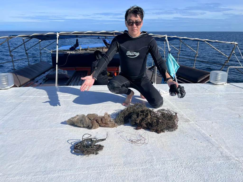
Ti Point
5
rock
2
-36.316957383601, 174.78472039198
Site was clean, however, a storm changed the bottom, would have unearthed what we found
Wind and rain
1
1
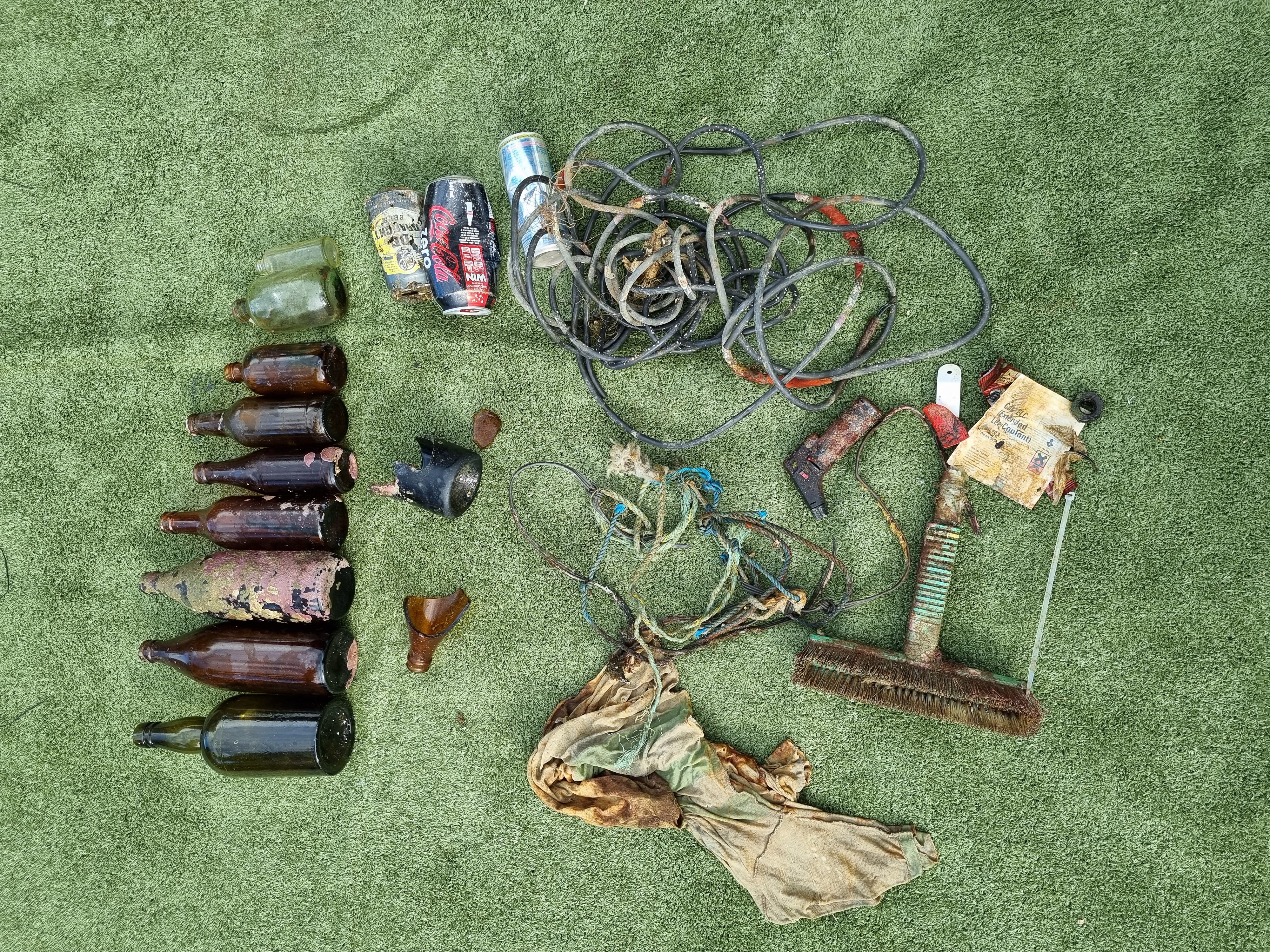
Deck Brush
Spray nozzle
private for fun
Martin Ruddy
2
1
3.00
52
6.00
2.00
2
estimated
500.00
On
kilograms
I have debris data to report
9
Calm (glassy to rippled) for waves 0 – 0.1 meter high
0
m2
meters
rocky reef
1
1
3
3
Map Help
Dive Location
If you know your survey site coordinates, enter them manually in decimal degrees using WGS84 Map Datum. Use the minus sign for latitudes south of the equator and longitudes west of the Prime Meridian to 180 degrees.
If you do not know your survey site coordinates, click the “Map Location” tab to use the map to zoom into your survey site and drop the pin on the map to fall within your survey dive site in the water (not on land or the beach). Ensure you zoom in as much as possible to ensure data accuracy.
Entangled Help