Dragon Cave #412805
1
4
3
2
25.112058, 121.9166354
1
0
0
coral
0
4
0
1
0
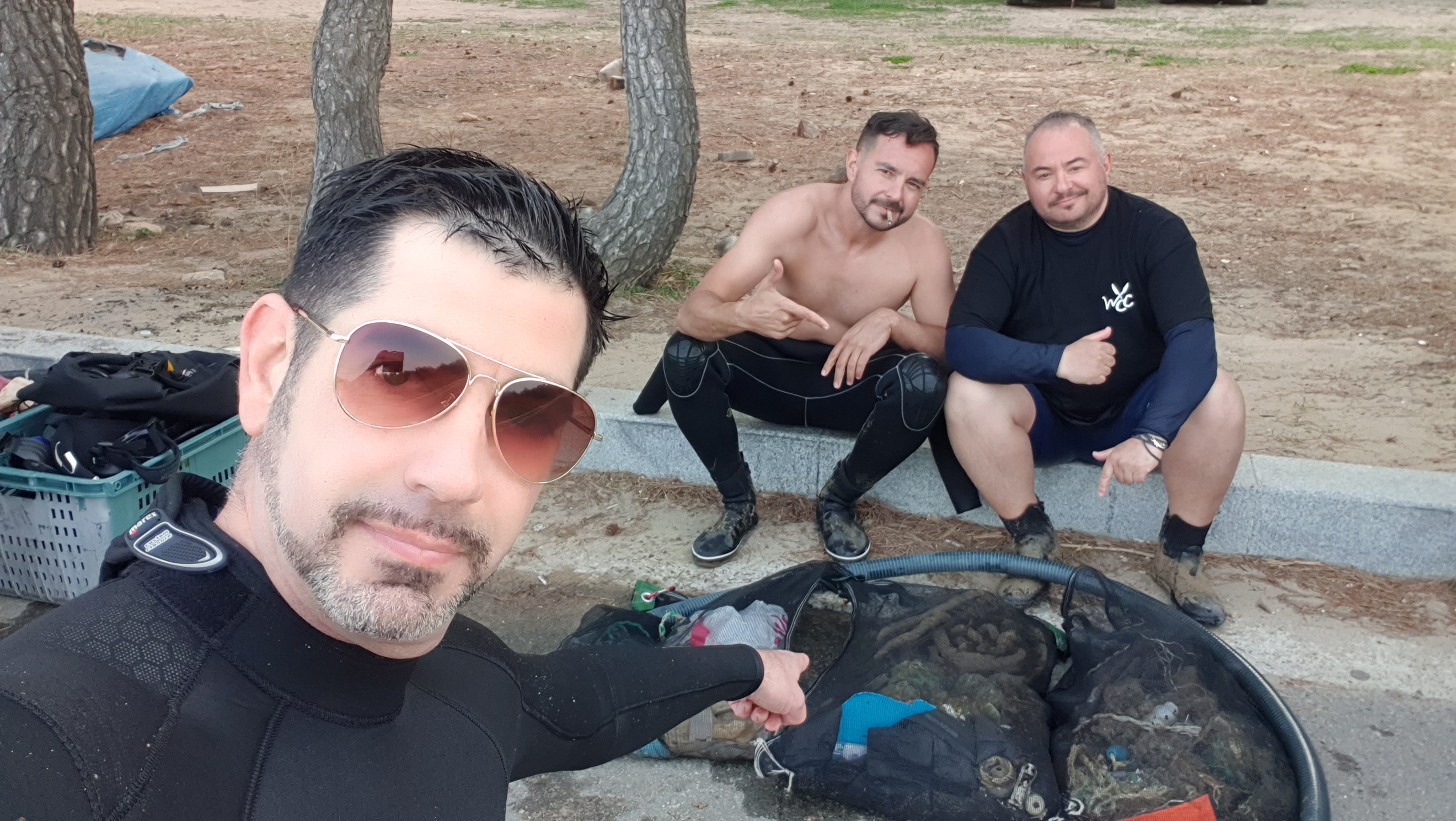
Originally one leader and five divers participated. But only two divers went undersea due to some technical problems.
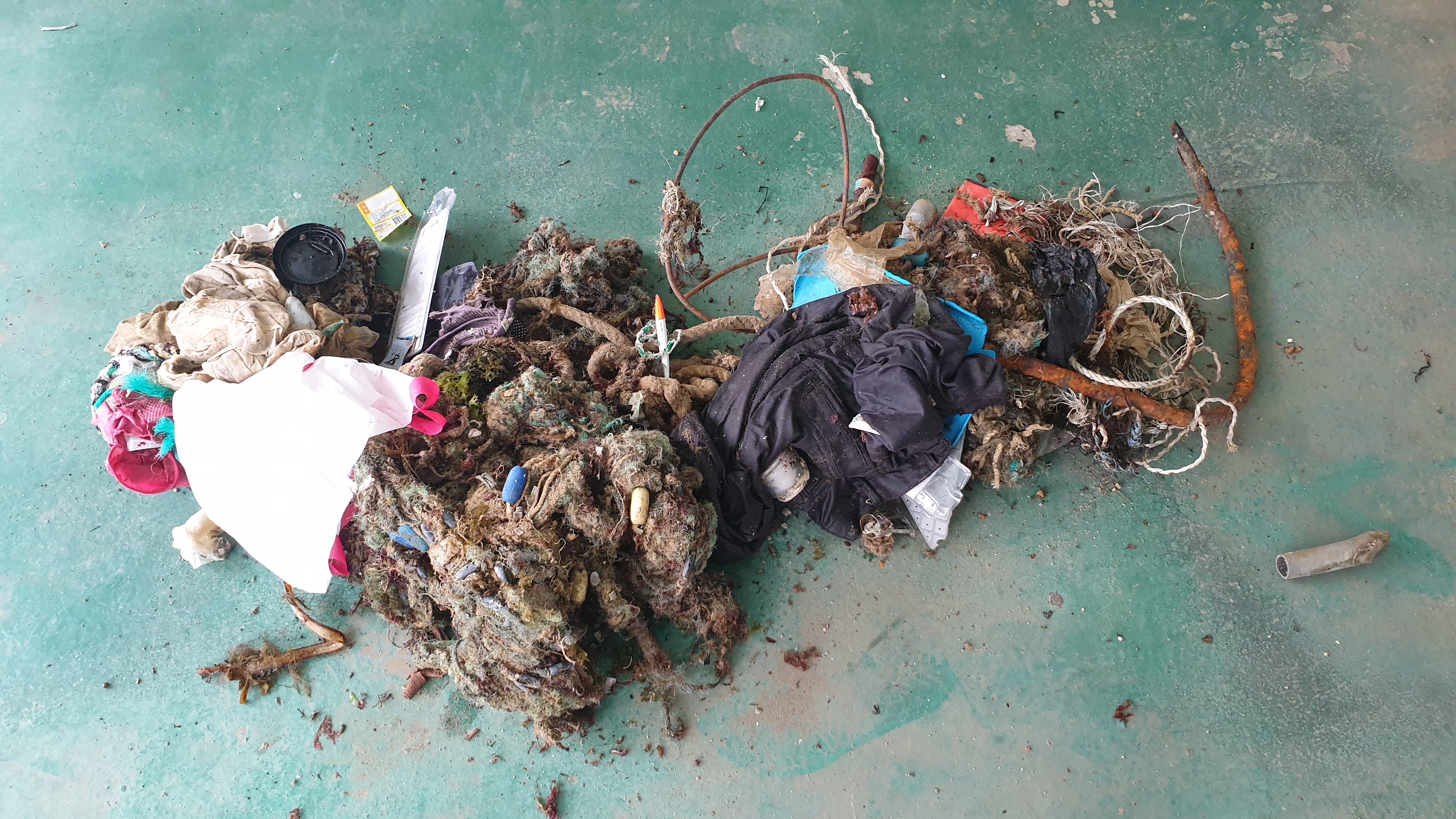
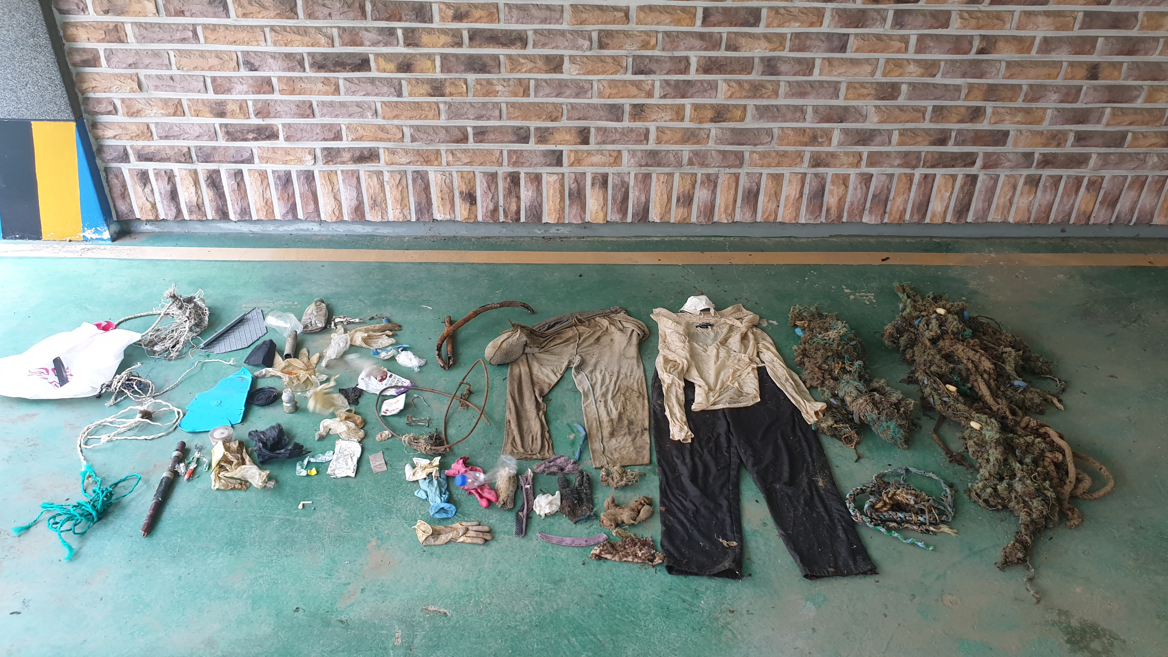
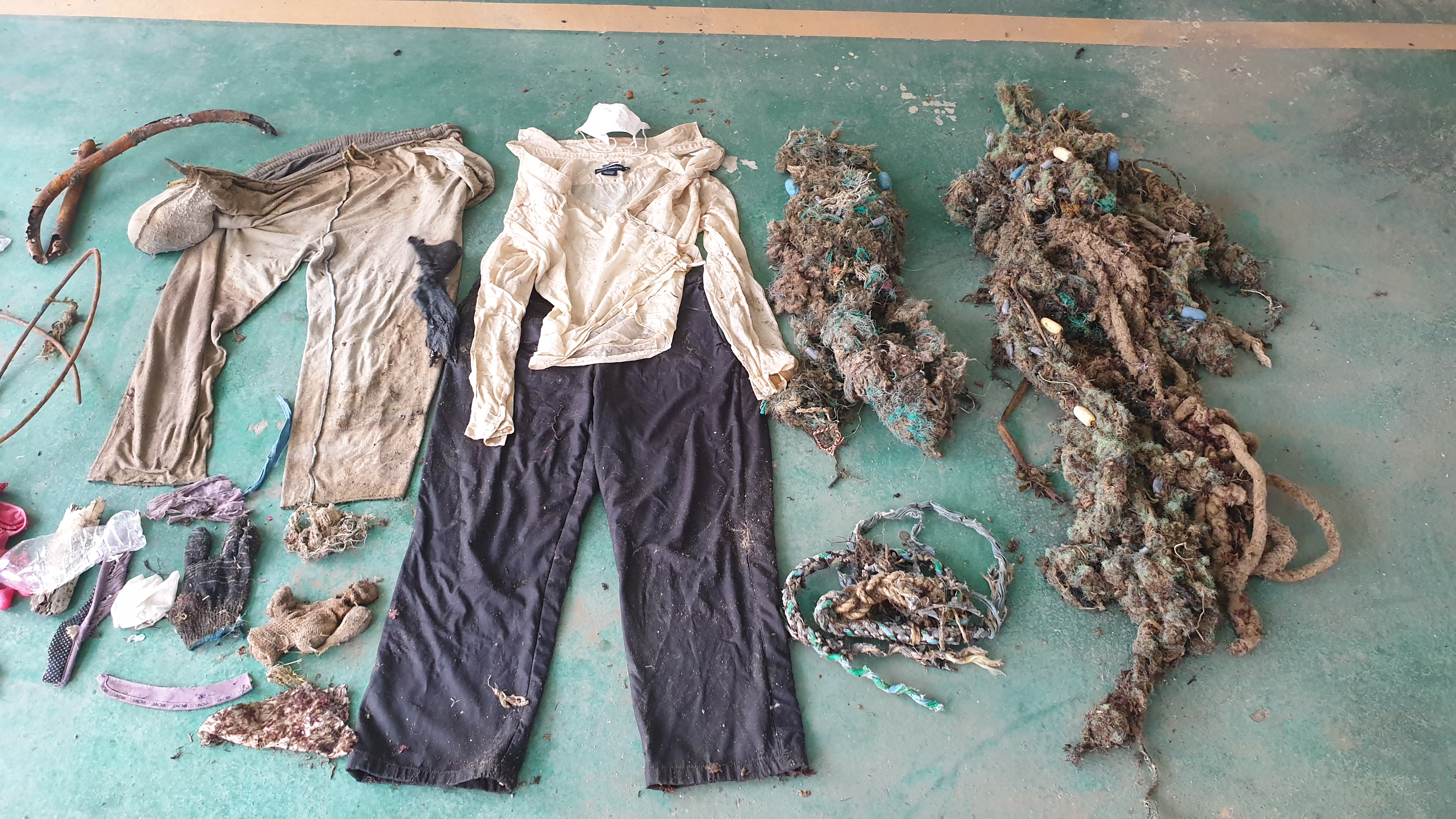
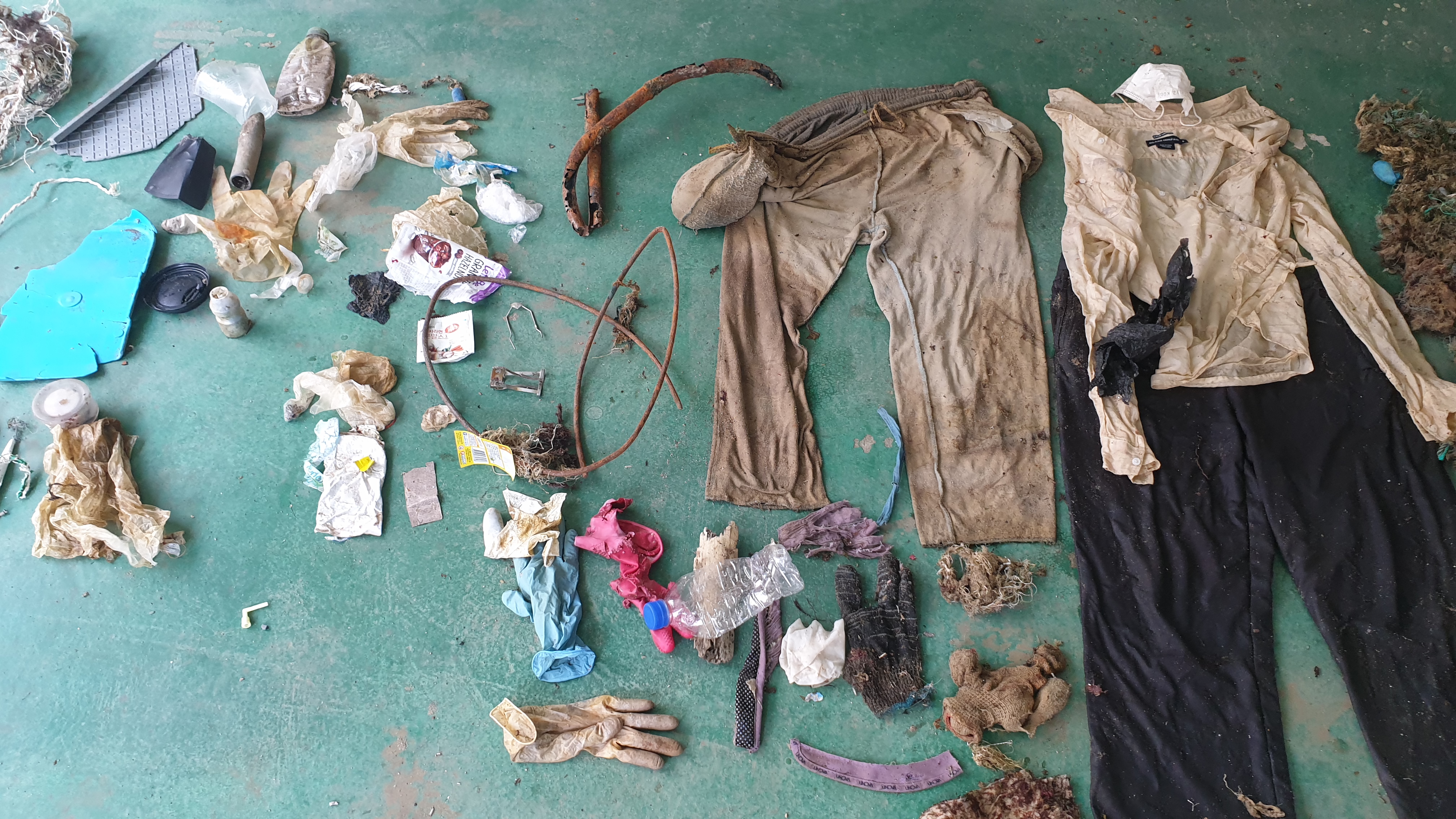
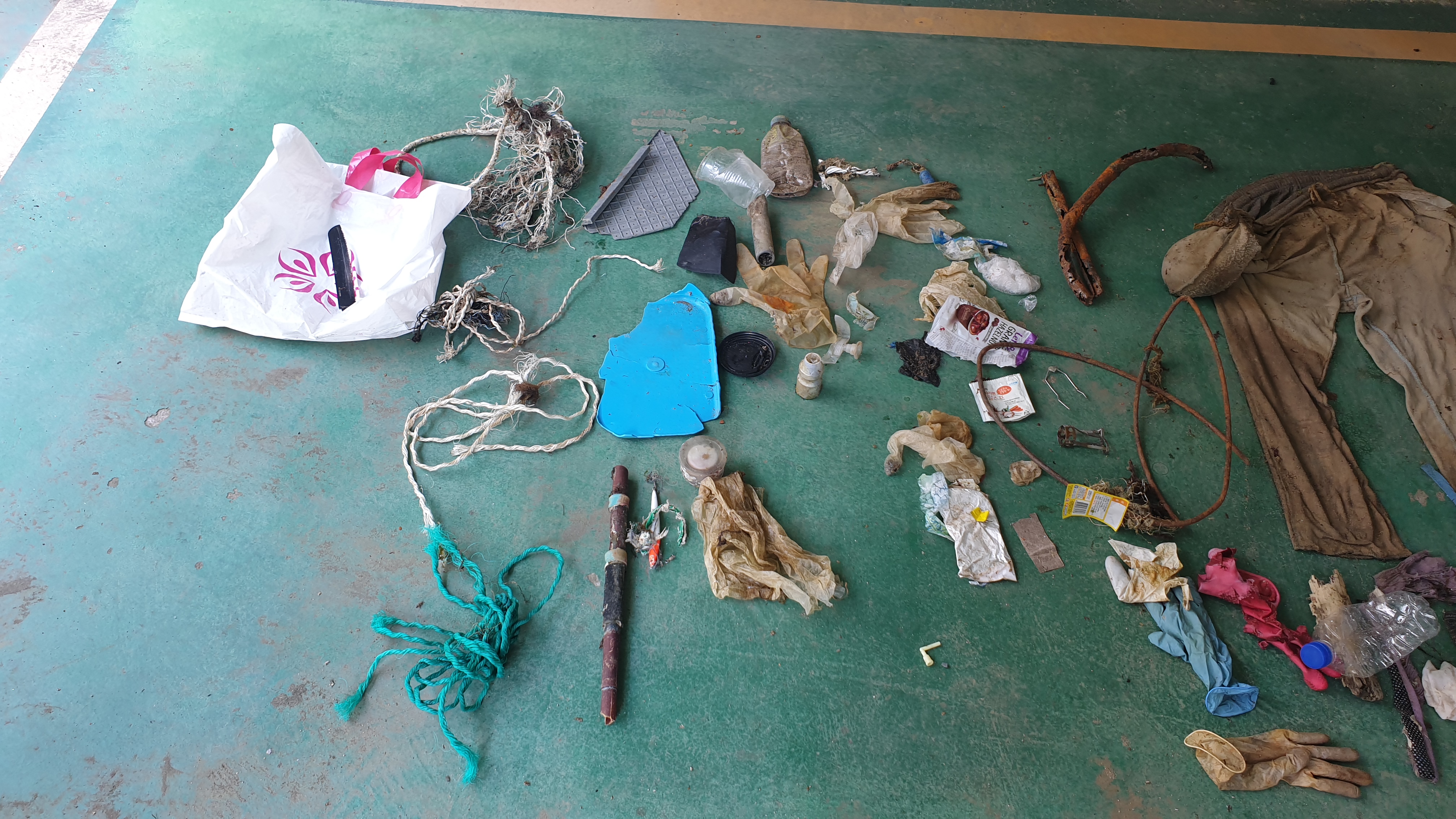
Anglers throwing garbage at will or garbage from China brought by Oyashio
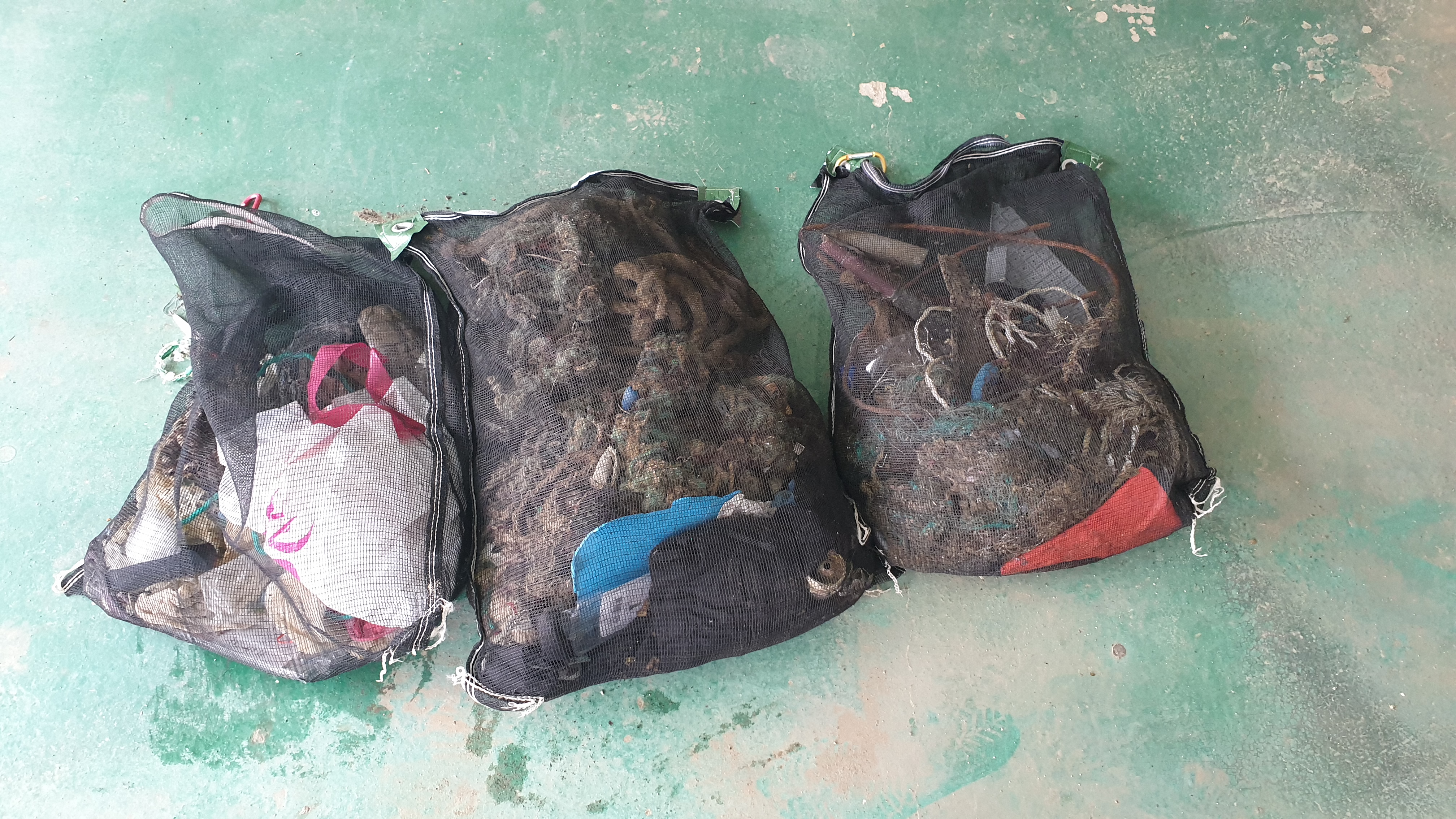
The Dive Against Debris mesh bags PADI provided were easily broken. The strap tied to the bag was where it broke. It was broken at only 2 kilograms.
Sunny
Zheng-wei Chen
0
0
3
1
0
0
0
0
0
0
0
0
0
0
0
0
1
1
3
3
0
0
0
0
0
1
4
0
0
0
0
0
0
0
0
0
5.80
25
5.00
3.00
0
estimated
0
0
100.00
0
0
0
0
0
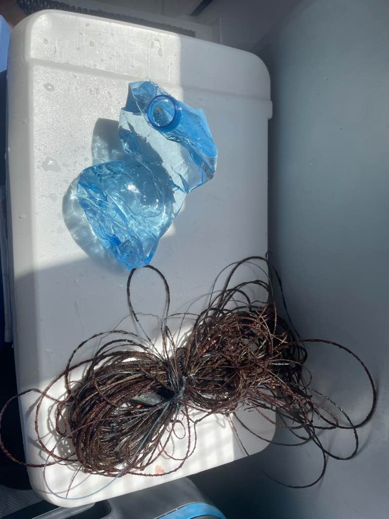
fishing net
lures
fishing lines
0
On
kilograms
0
I have debris data to report
0
0
0
Slight for waves 0.5 -1.25 meter high
0
0
0
0
0
0
0
m2


0
1
meters
coral reef
0
0
0
0
0
0
0
0
0
0
0
0
0
0
0
0
3
0
0
0
0
0
0
0
0
0
0
0
0
State\Province
NTC
City
New Taipei City
Map Help
Dive Location
If you know your survey site coordinates, enter them manually in decimal degrees using WGS84 Map Datum. Use the minus sign for latitudes south of the equator and longitudes west of the Prime Meridian to 180 degrees.
If you do not know your survey site coordinates, click the “Map Location” tab to use the map to zoom into your survey site and drop the pin on the map to fall within your survey dive site in the water (not on land or the beach). Ensure you zoom in as much as possible to ensure data accuracy.
Entangled Help