DROC - La Puntilla
7
19.761028, -70.520556
Protractor
Warm, with heavy swells
1
1
1
2
1
Fabric Facemask
Menstrual Pad
Plastic Bracelet
Chewing Gum (chewed)
Protractor
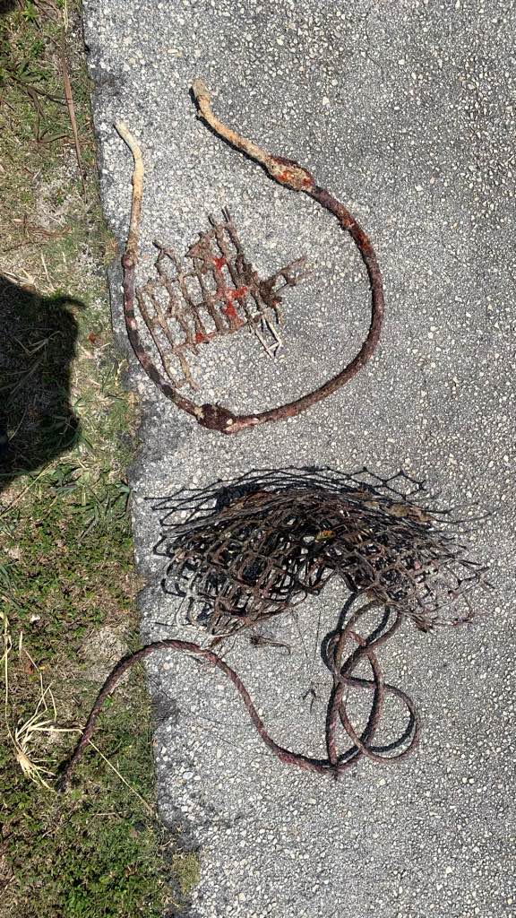
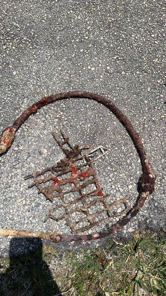
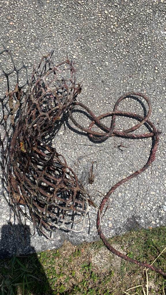
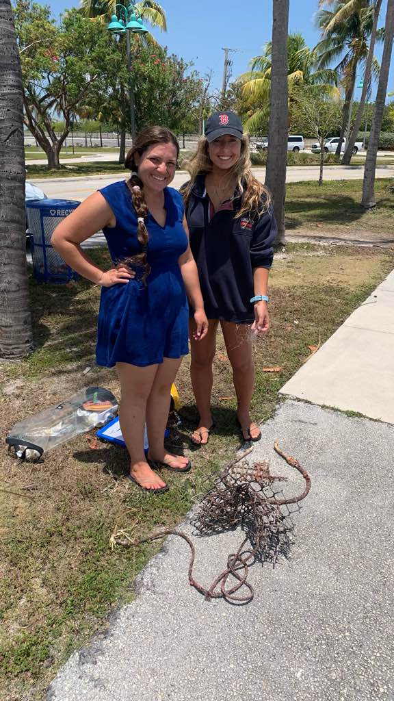
Dive Cabarete
Charles Hay
5
3
2
1.00
40
18.00
6.00
estimated
25.00
1
Beer cans
Cigarette butts
1
On
pounds
I have debris data to report
Smooth (wavelets) for waves 0.1 - 0.5 meter high
5
m2

1
Cloth fragment
Sea Urchin (juvenile)
Dead
meters
coral reef
8
2
1
2
State\Province
Puerto Plata
City
Sosúa
Map Help
Dive Location
If you know your survey site coordinates, enter them manually in decimal degrees using WGS84 Map Datum. Use the minus sign for latitudes south of the equator and longitudes west of the Prime Meridian to 180 degrees.
If you do not know your survey site coordinates, click the “Map Location” tab to use the map to zoom into your survey site and drop the pin on the map to fall within your survey dive site in the water (not on land or the beach). Ensure you zoom in as much as possible to ensure data accuracy.
Entangled Help