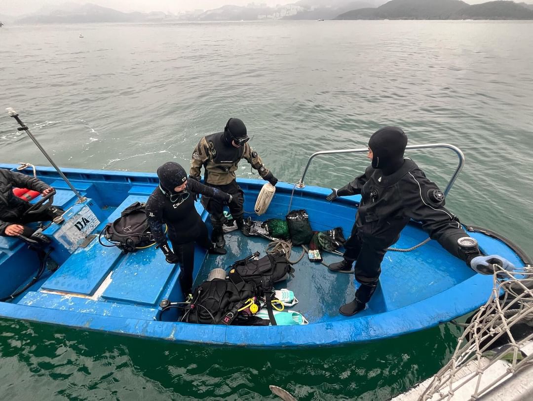
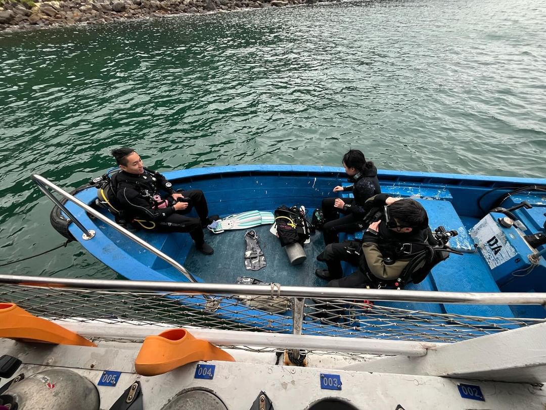
연대방파제
0
0
0
20
33.49601953222, 126.42706849845
3
0
0
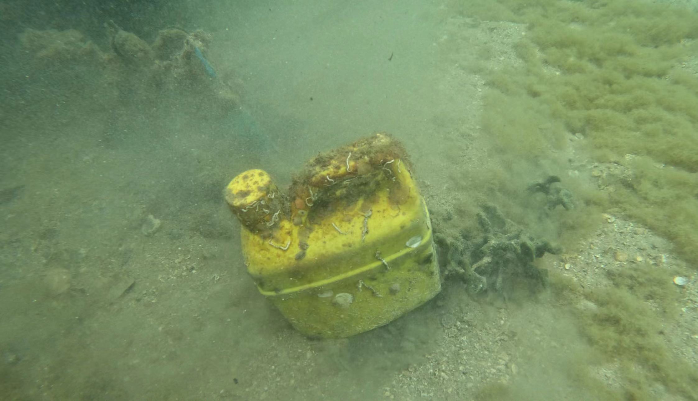
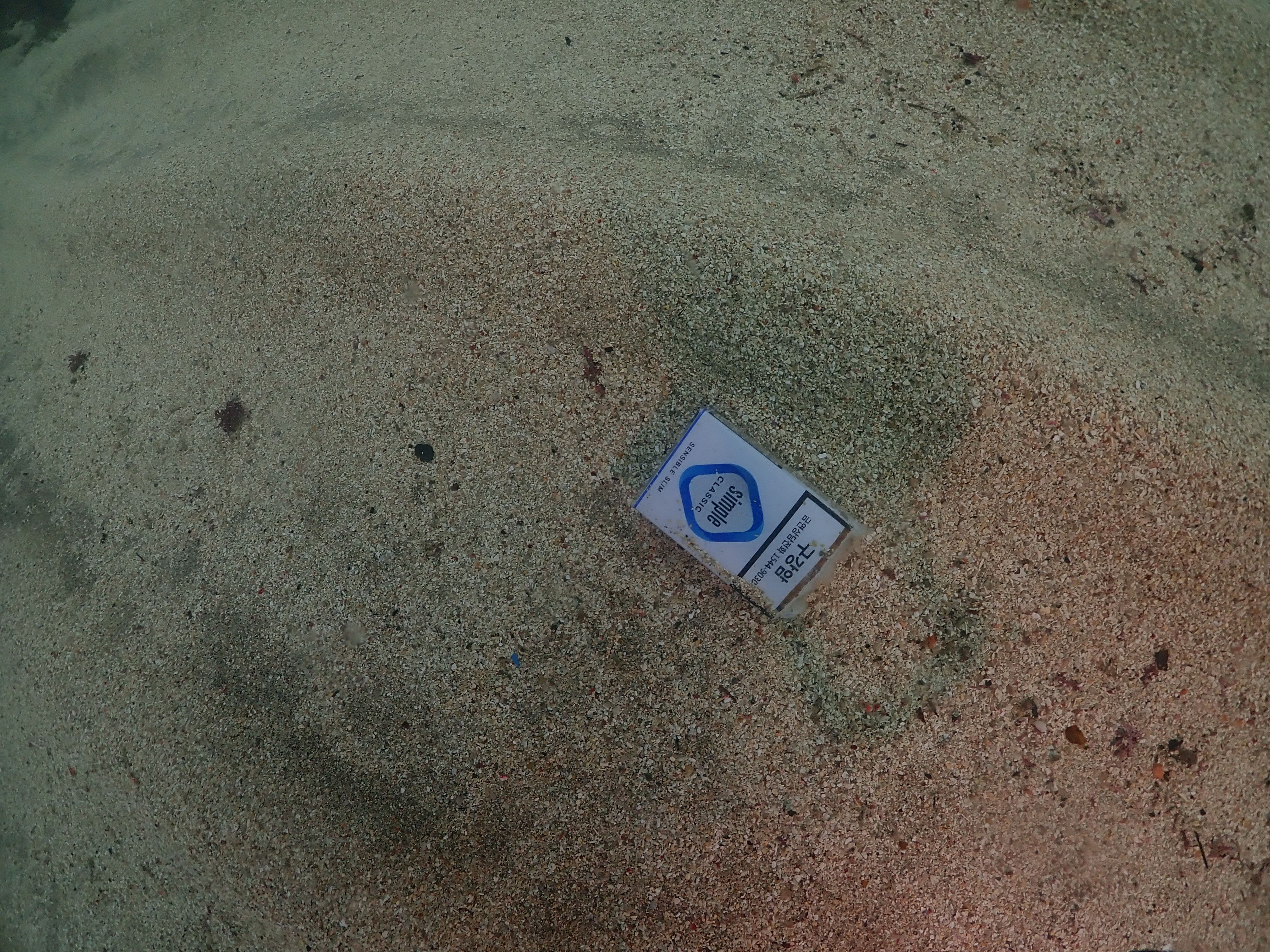
sand
0
2
0
3
0
33.495996419556, 126.42705317307
없음
없음
없음
없음
날씨 맑음. 파도 없음. 조류 없음
0
0
0
0
0
0
0
0
0
0
0
0
0
0
0
0
0
0
0
0
0
0
0
0
0
0
0
0
0
0
0
0
0
0
0
0
0
0
0
0
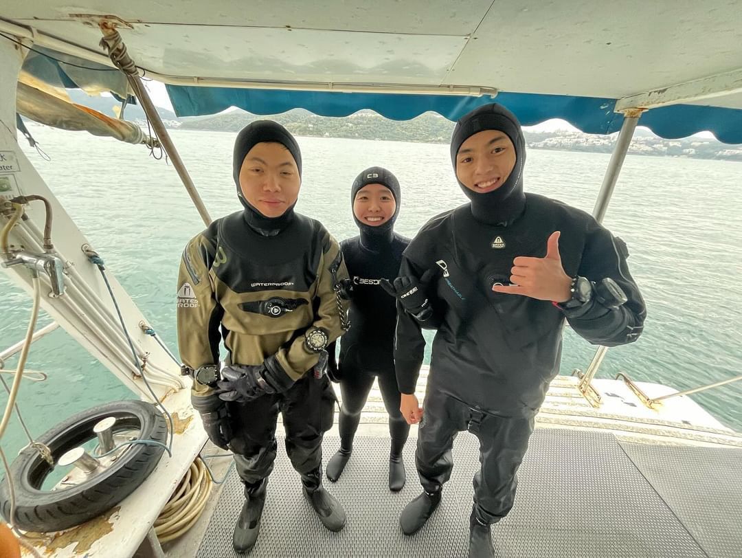
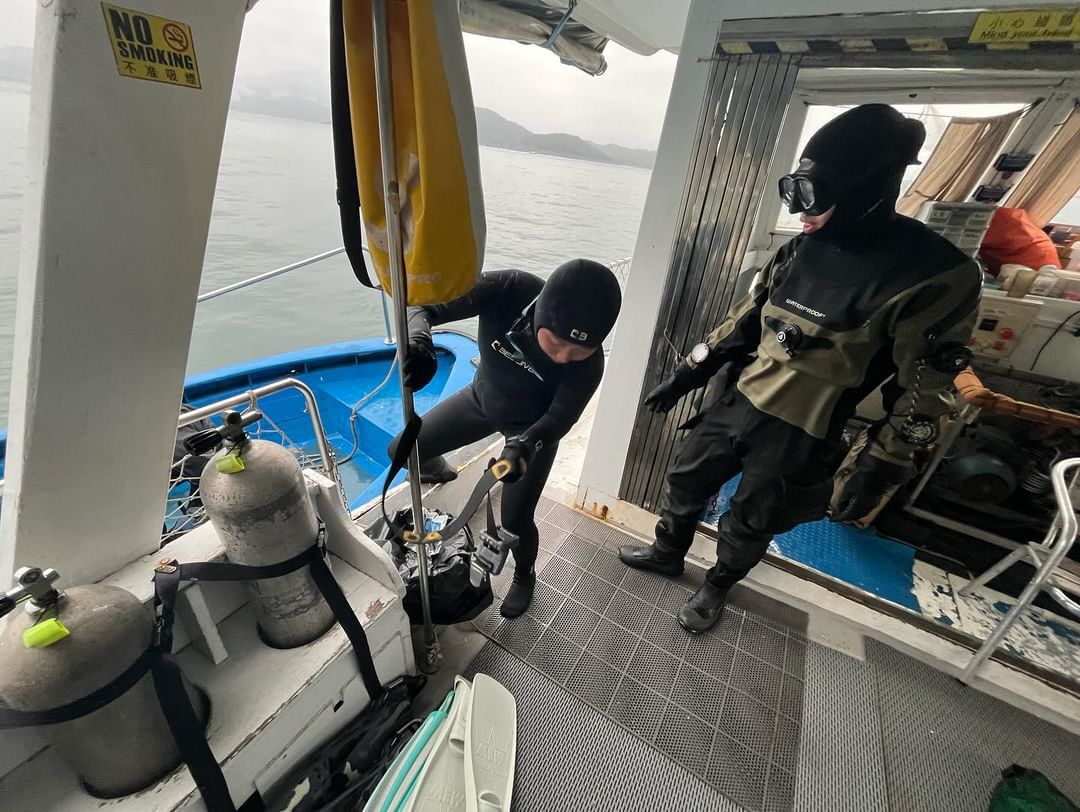
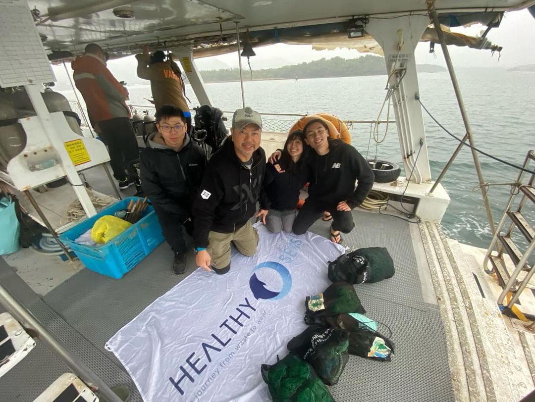
Blue Lagoon Dive
Young Su Yeo
0
0
0
0
2
0
0
0
0
0
0
0
0
0
0
0
0
1
0
4
0
0
0
0
5
10
6
0
10
2
5
0
0
0
0
0
40.00
40
10.00
3.00
0
measured
0
0
0
1
4131.00
0
0
0
0
0
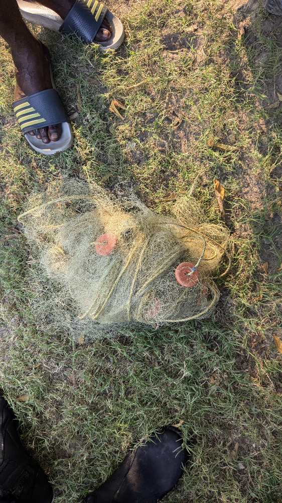
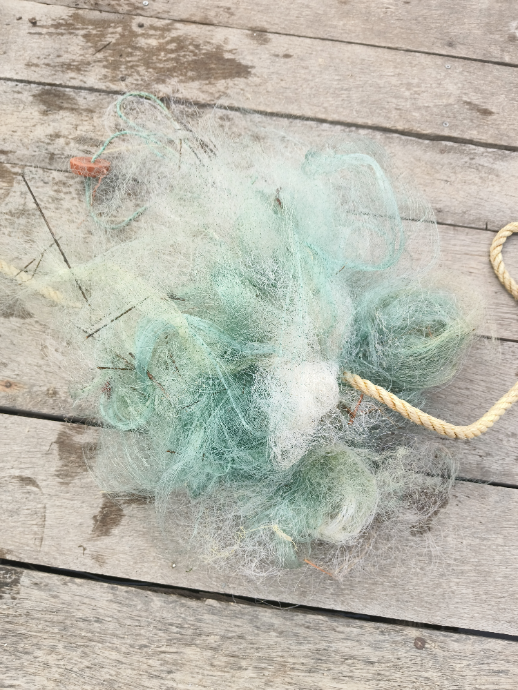
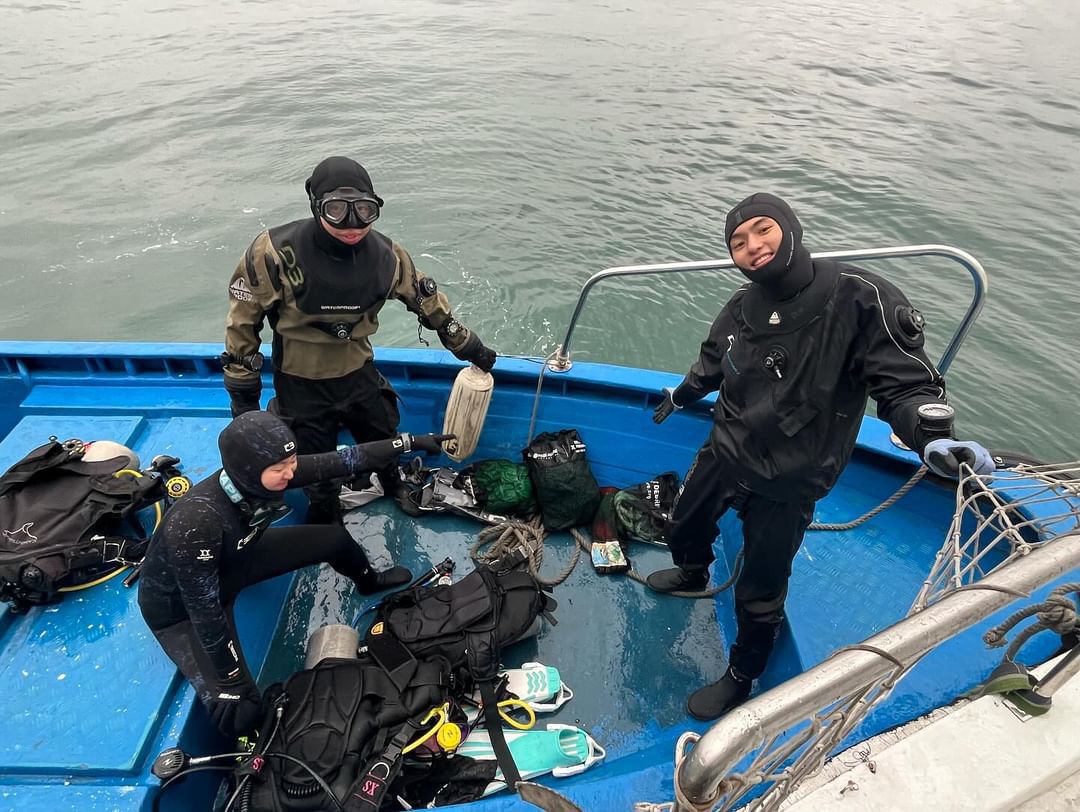
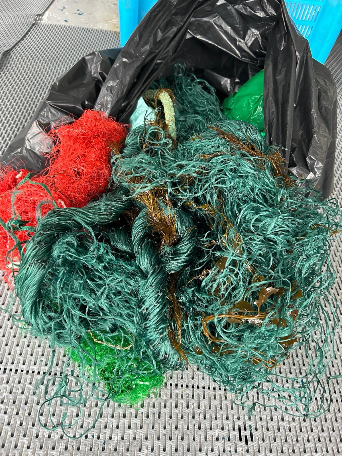
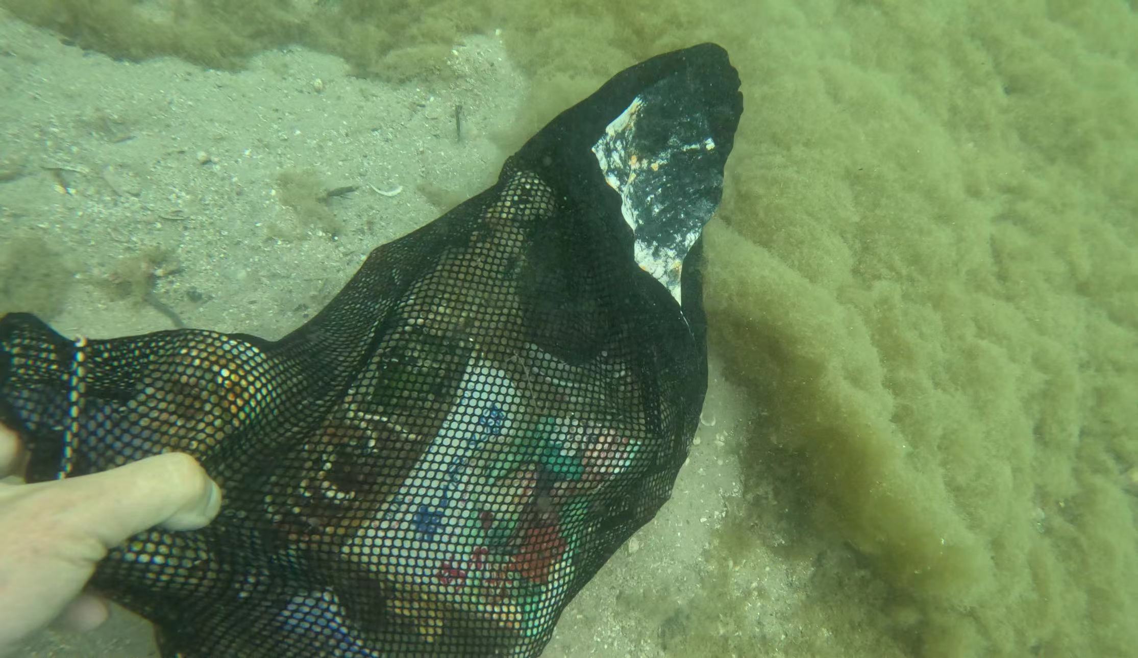
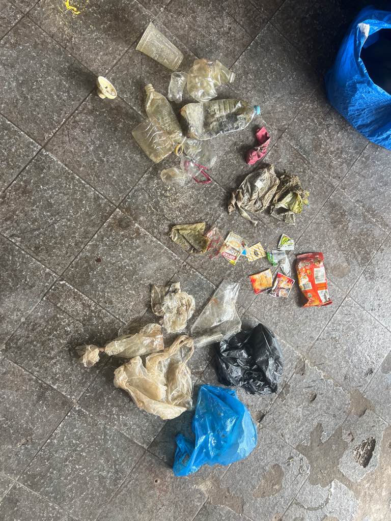
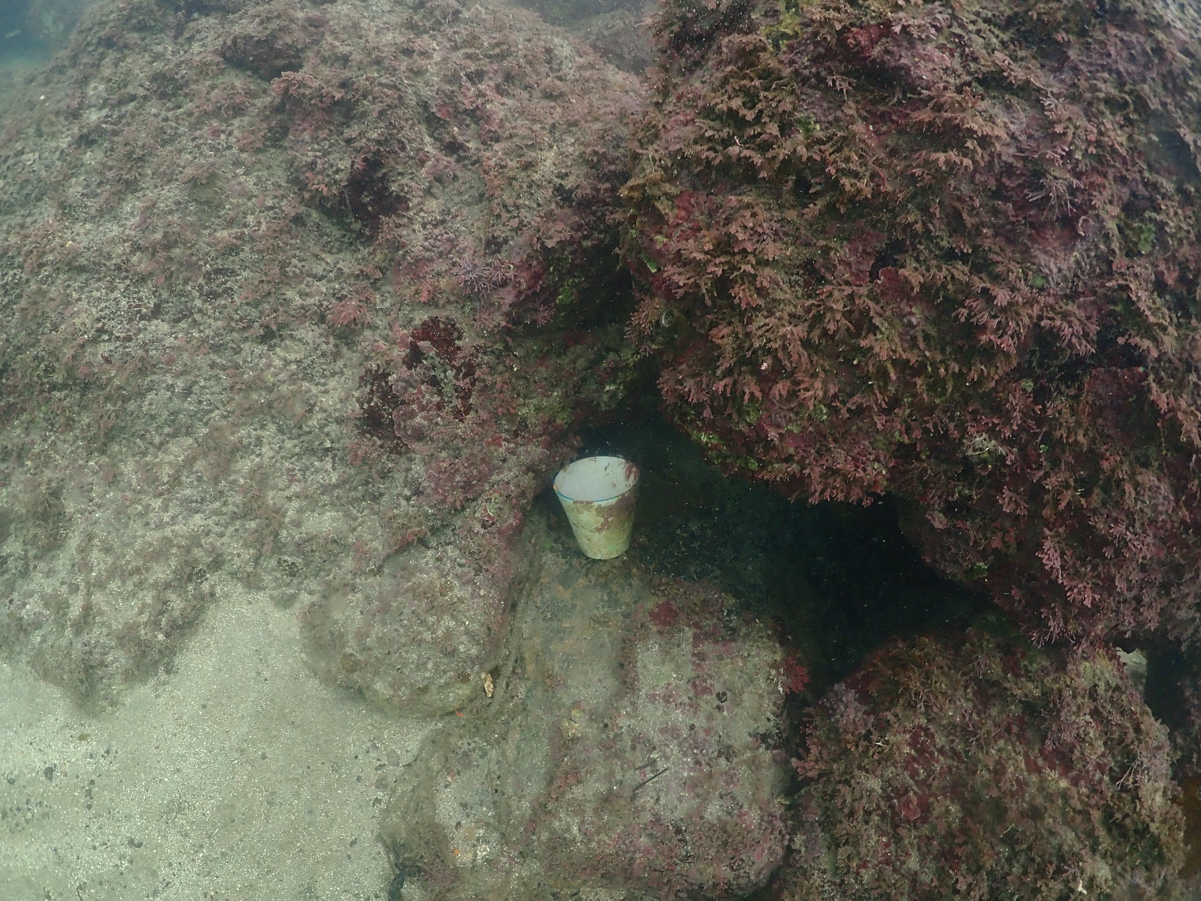
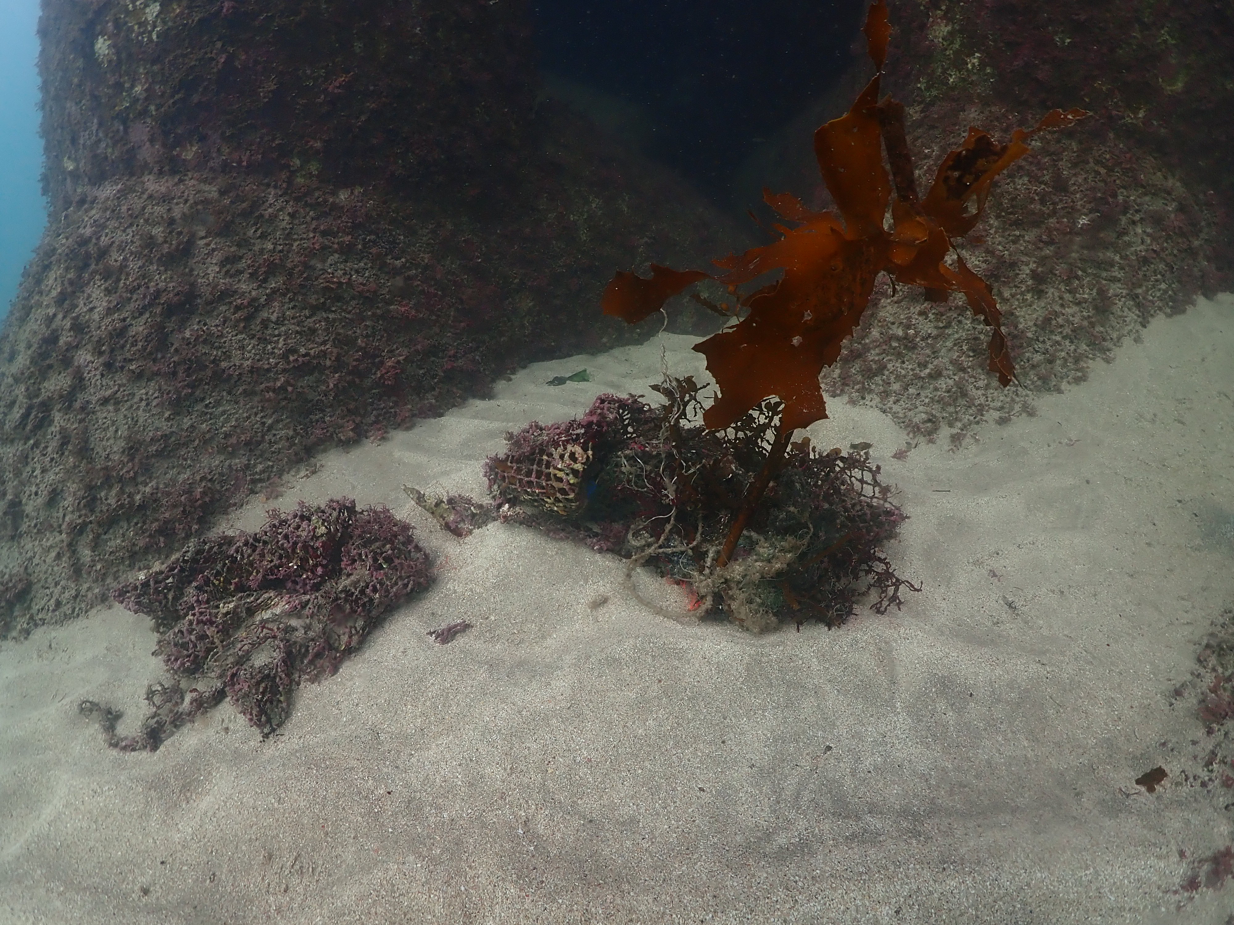
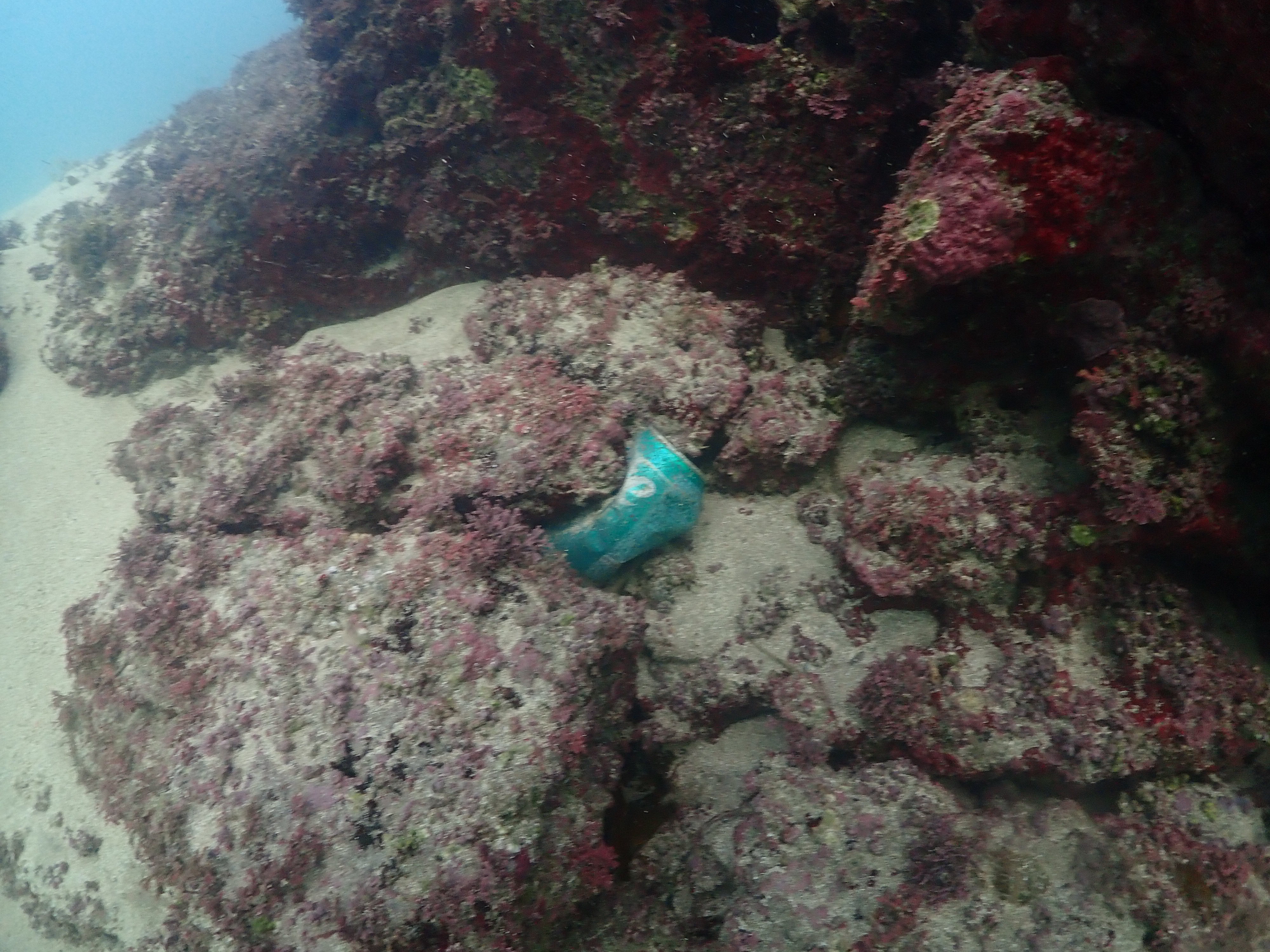
낚시줄
낚시추
폐어구
0
On
kilograms
0
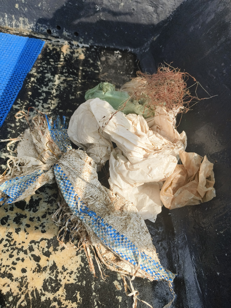
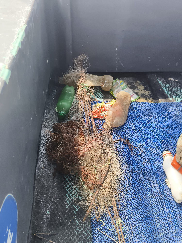
I have debris data to report
38
0
1
Calm (glassy to rippled) for waves 0 – 0.1 meter high
0
0
0
0
2
0
0
m2
0
0
meters
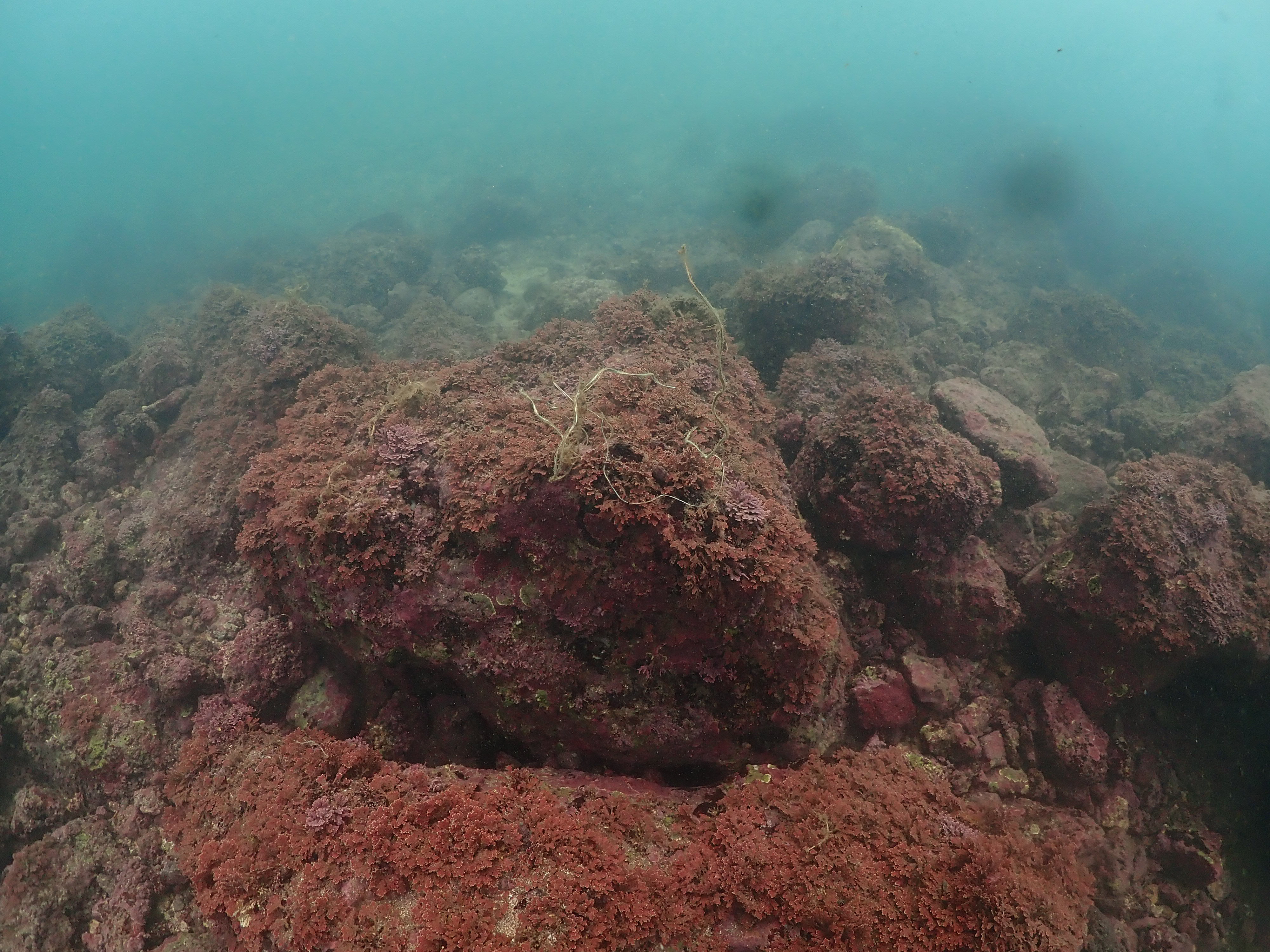
rocky reef
0
0
0
0
0
0
0
0
0
0
0
0
2
0
0
0
0
3
0
0
0
0
2
0
0
0
0
0
0
State\Province
Jeju-do
City
Jeju-si
Map Help
Dive Location
If you know your survey site coordinates, enter them manually in decimal degrees using WGS84 Map Datum. Use the minus sign for latitudes south of the equator and longitudes west of the Prime Meridian to 180 degrees.
If you do not know your survey site coordinates, click the “Map Location” tab to use the map to zoom into your survey site and drop the pin on the map to fall within your survey dive site in the water (not on land or the beach). Ensure you zoom in as much as possible to ensure data accuracy.
Entangled Help