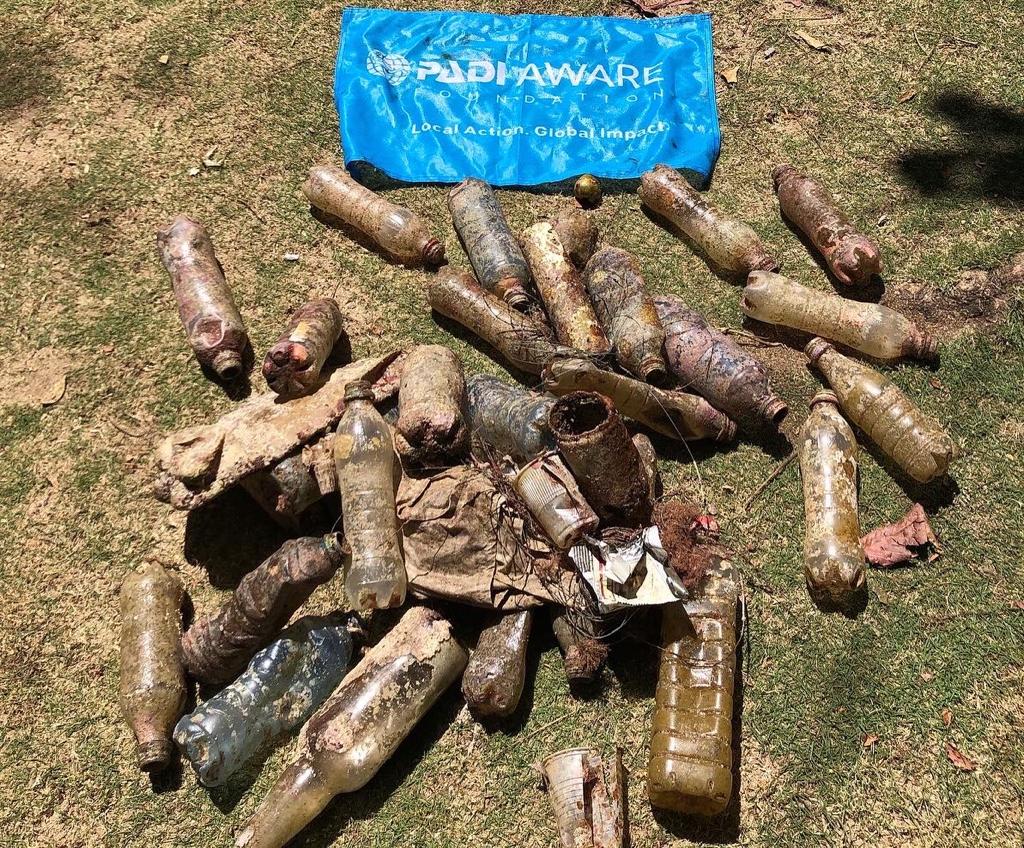
Edmonds fishing pier
63
47.811263408688, -122.38912990426
3
other
20
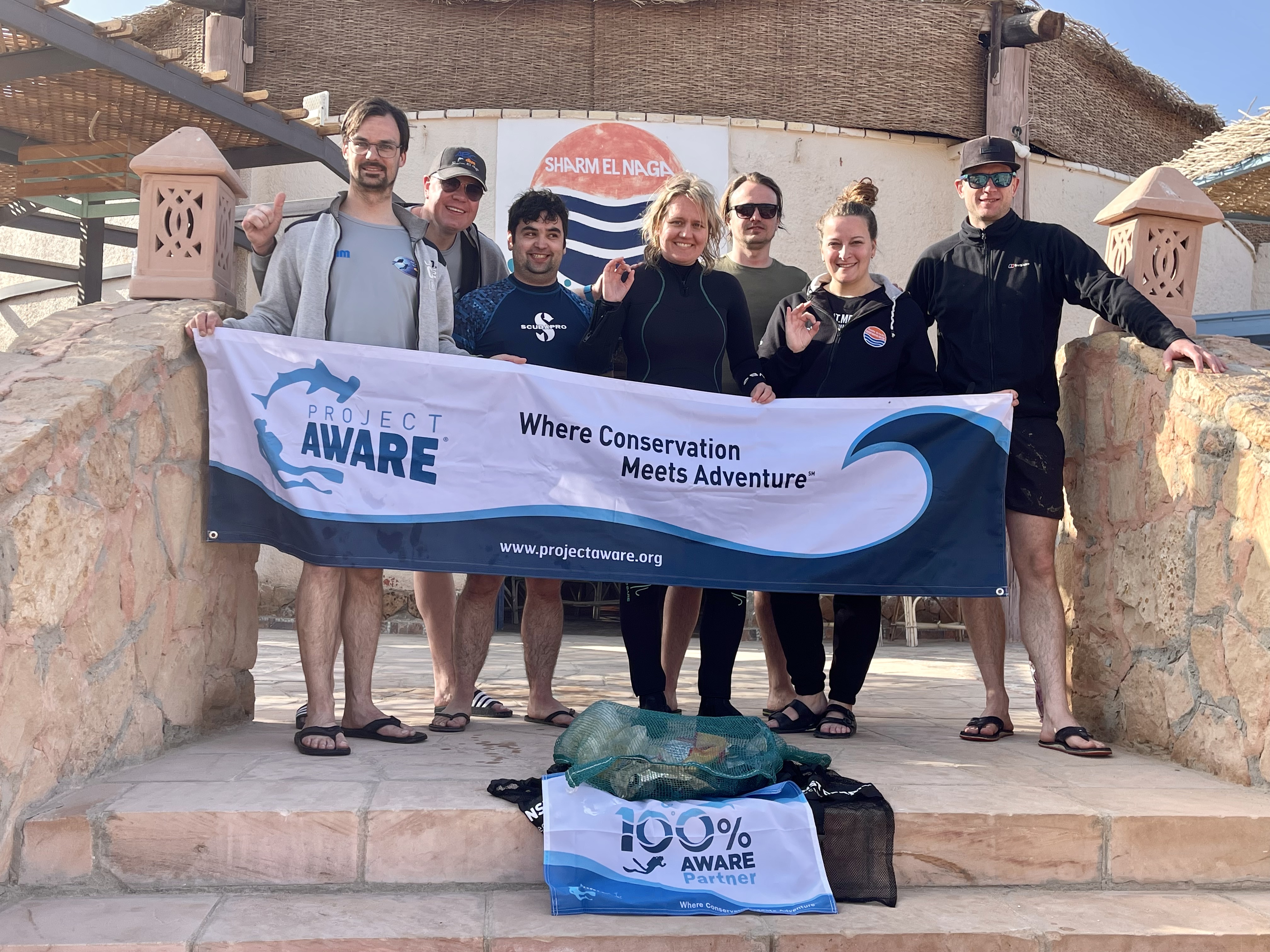
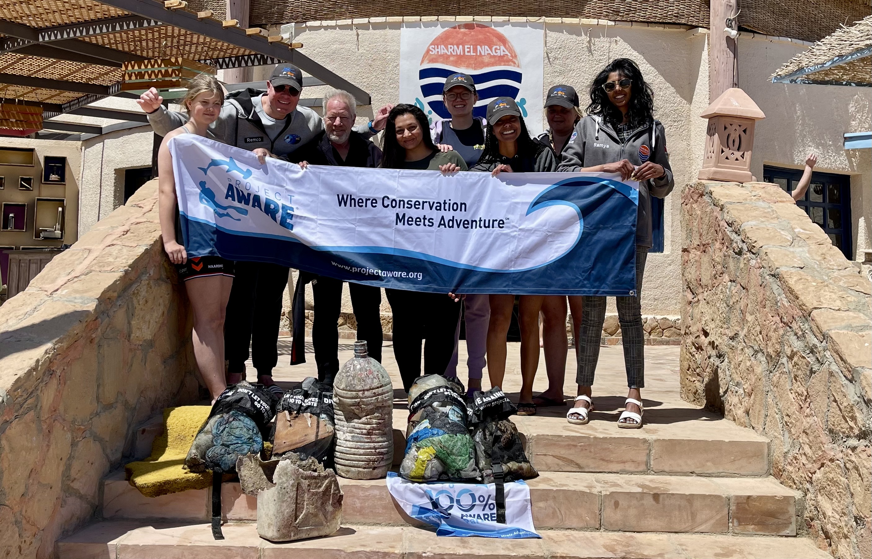
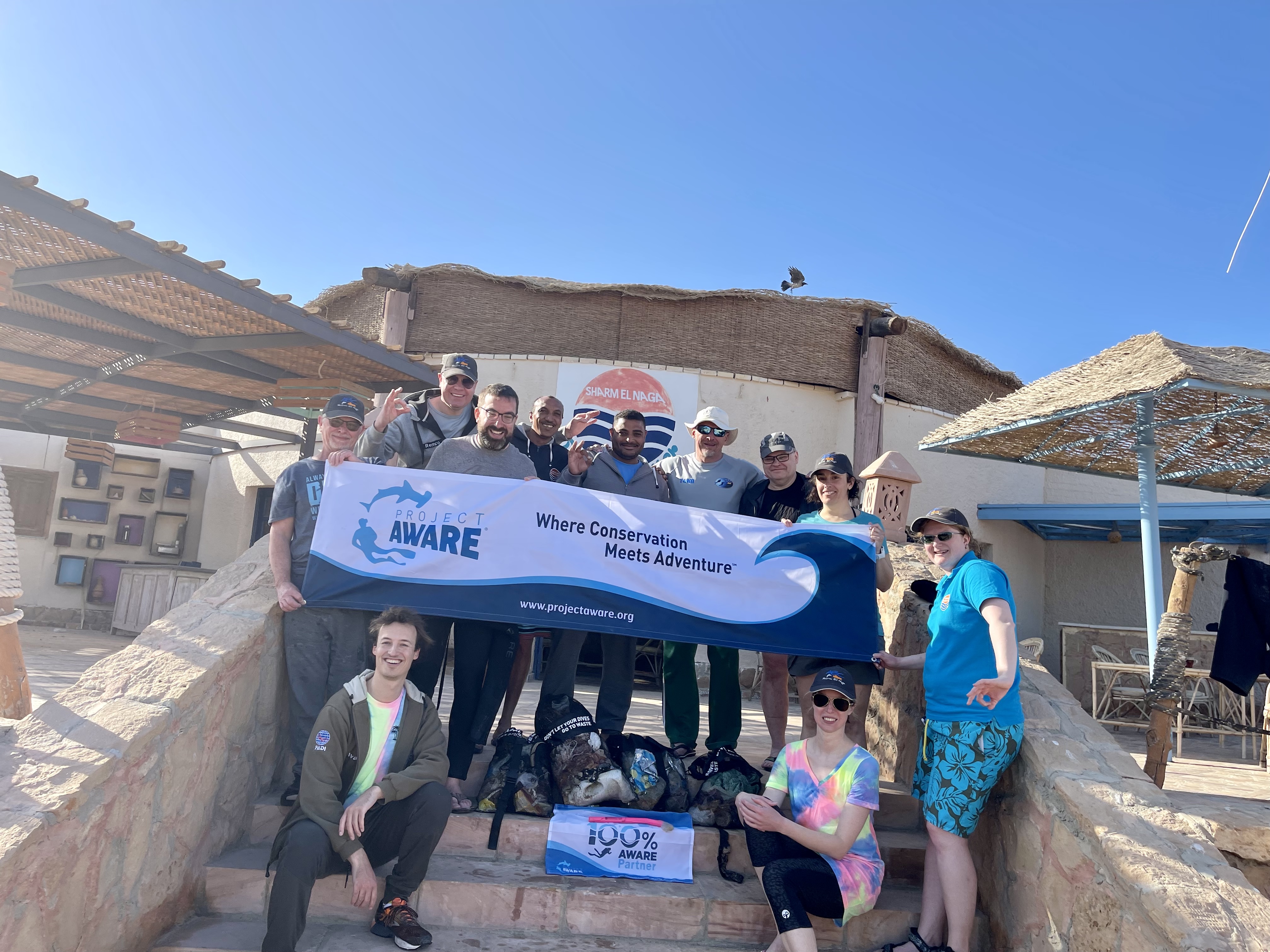
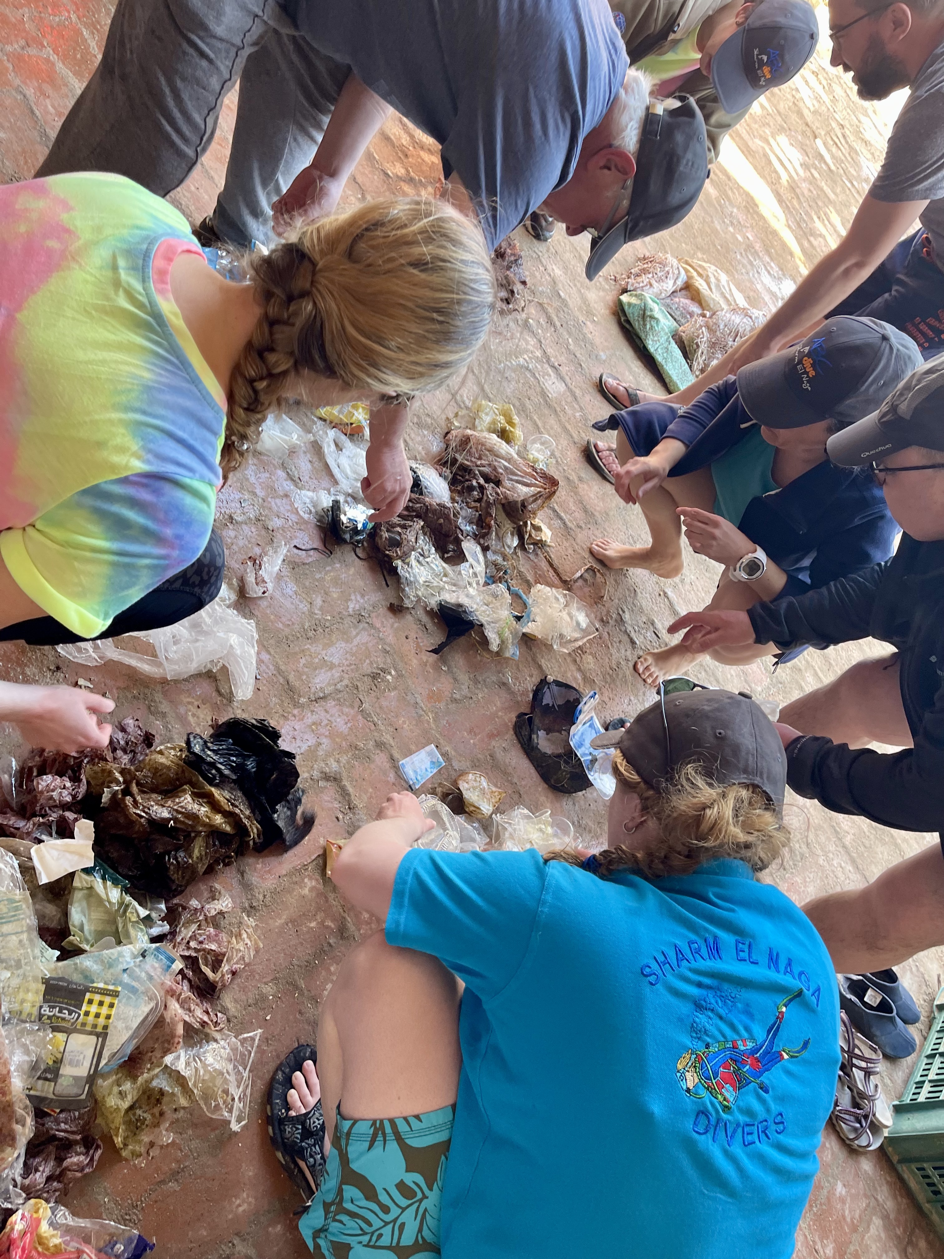
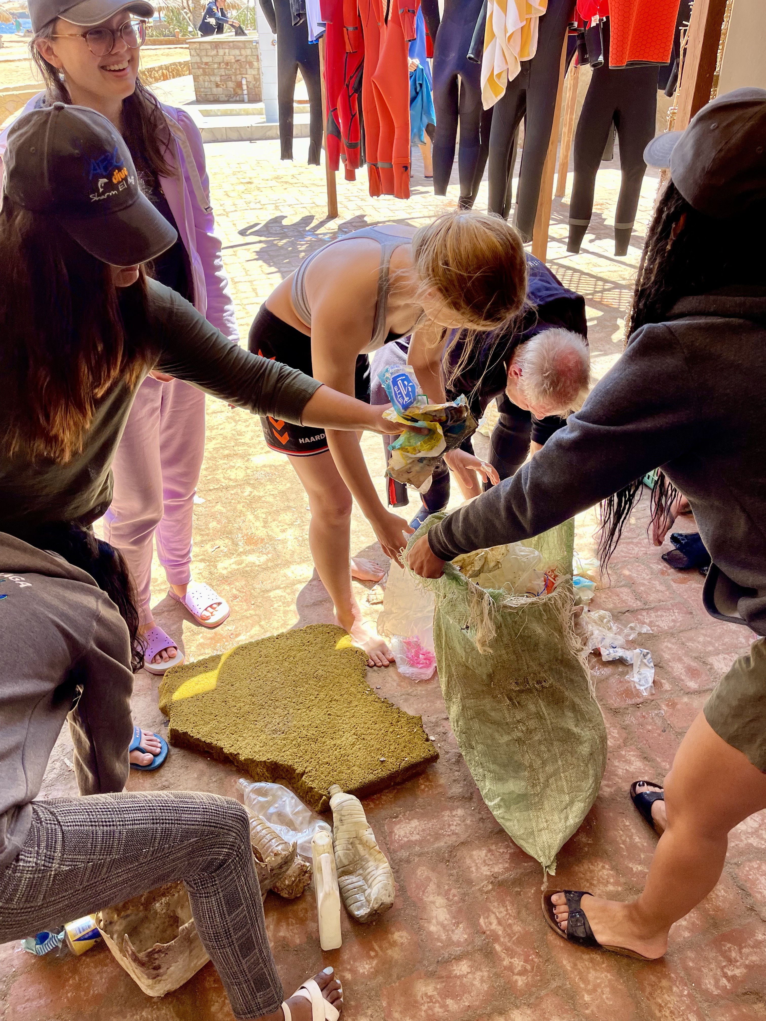
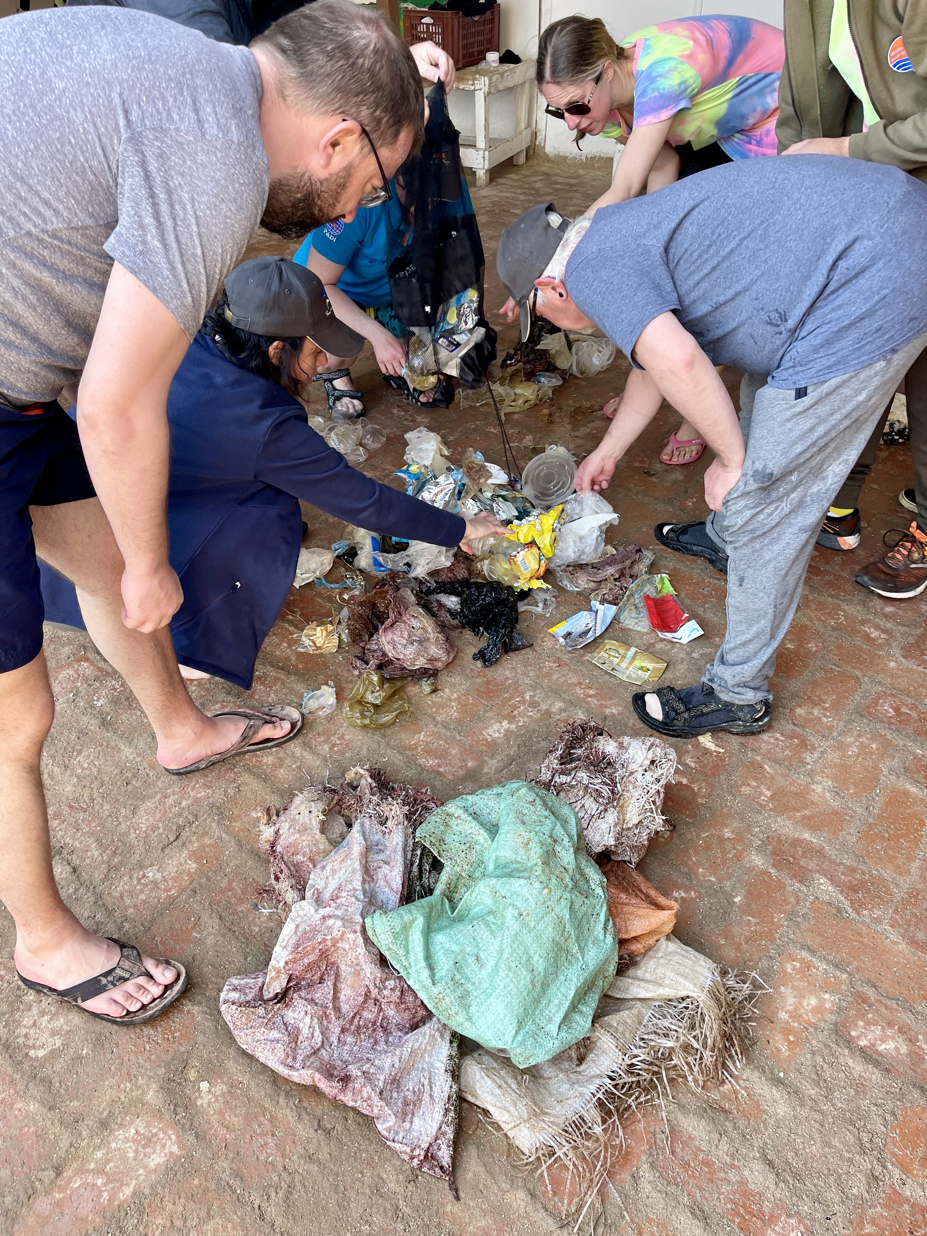
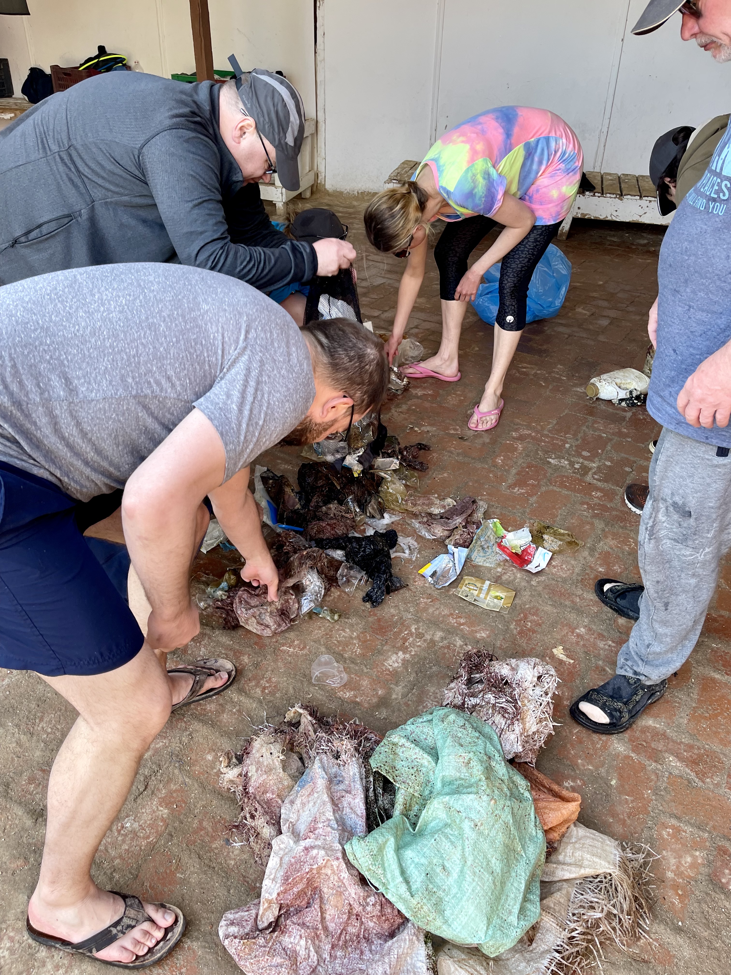
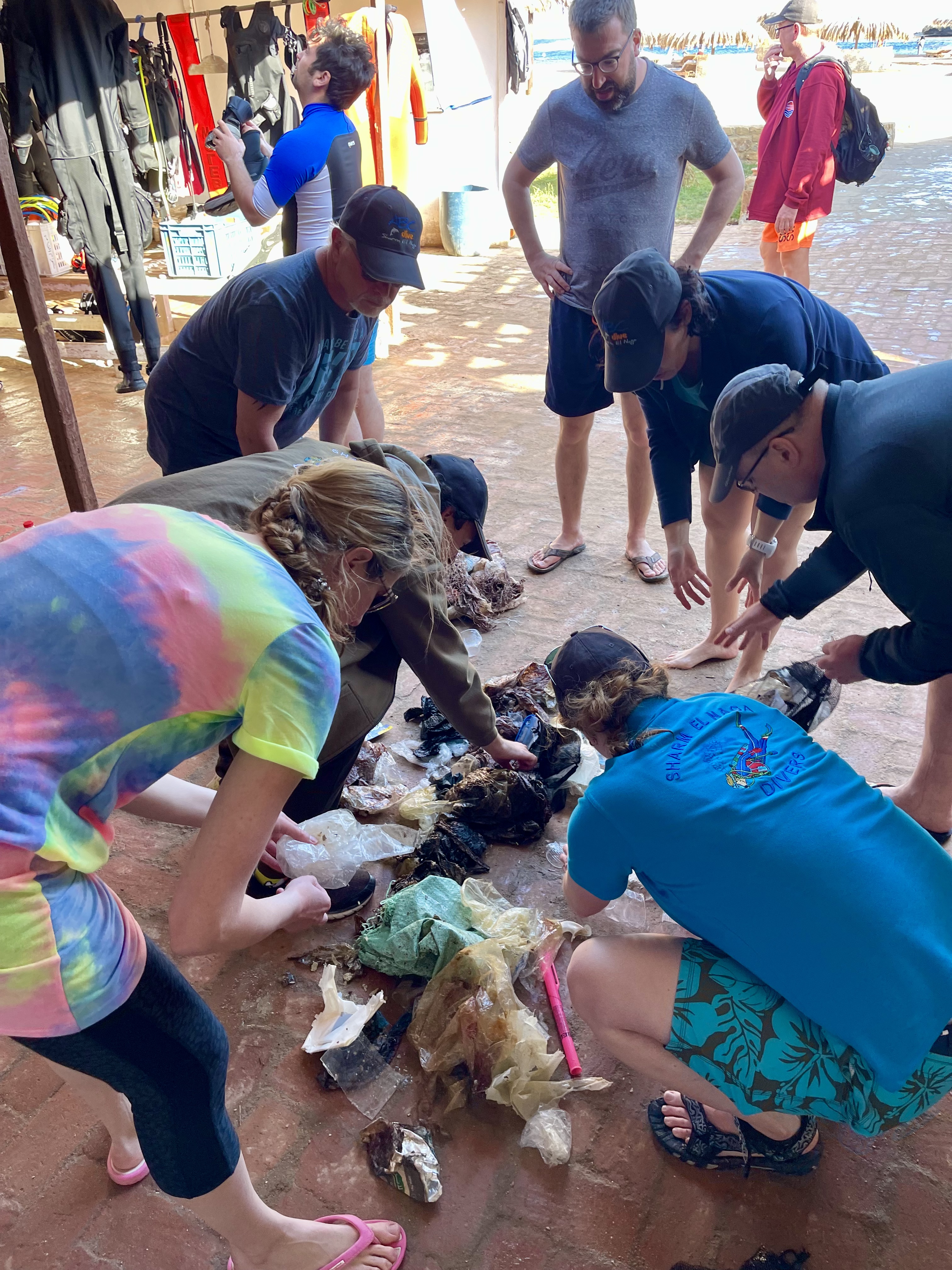
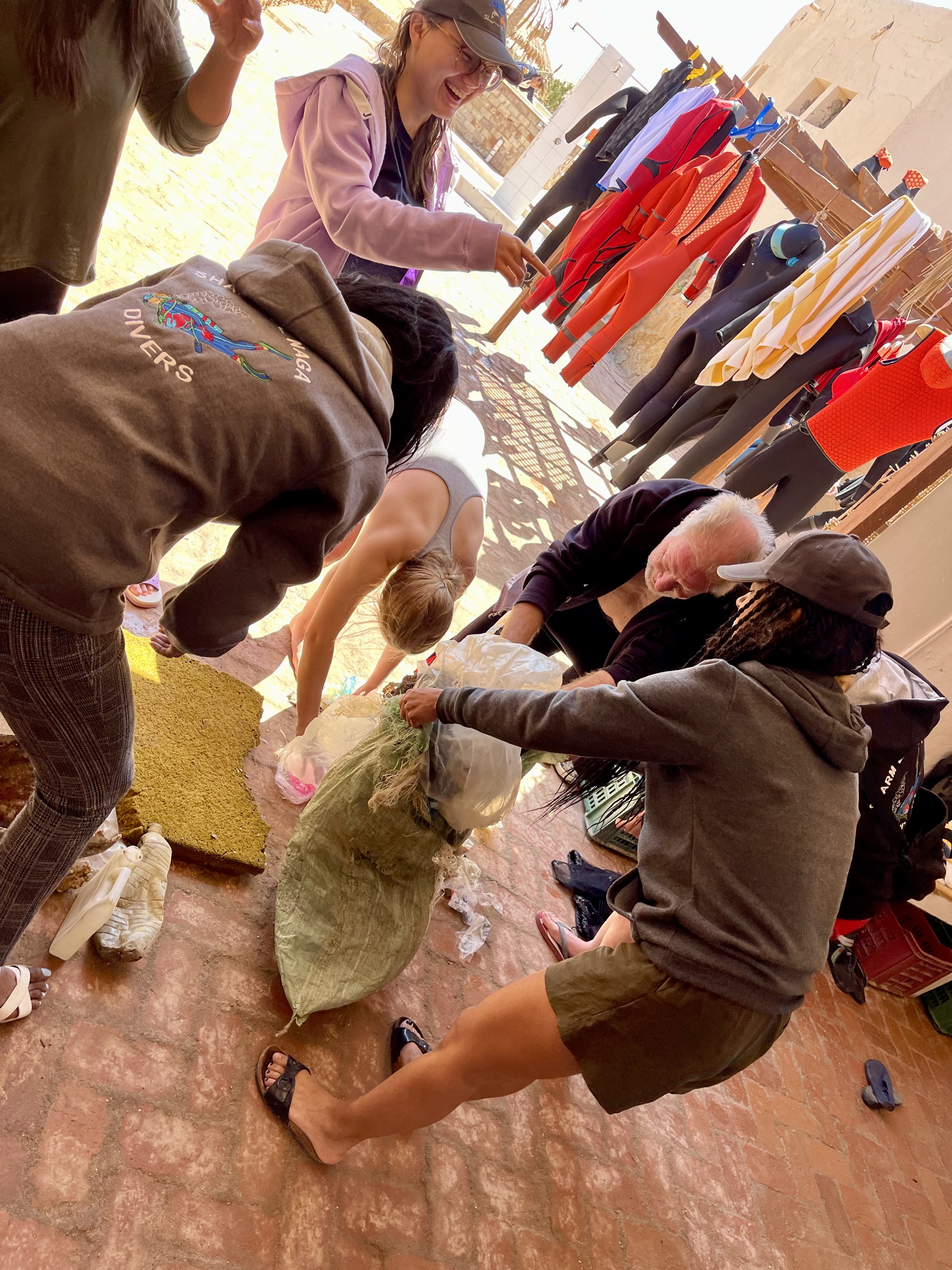
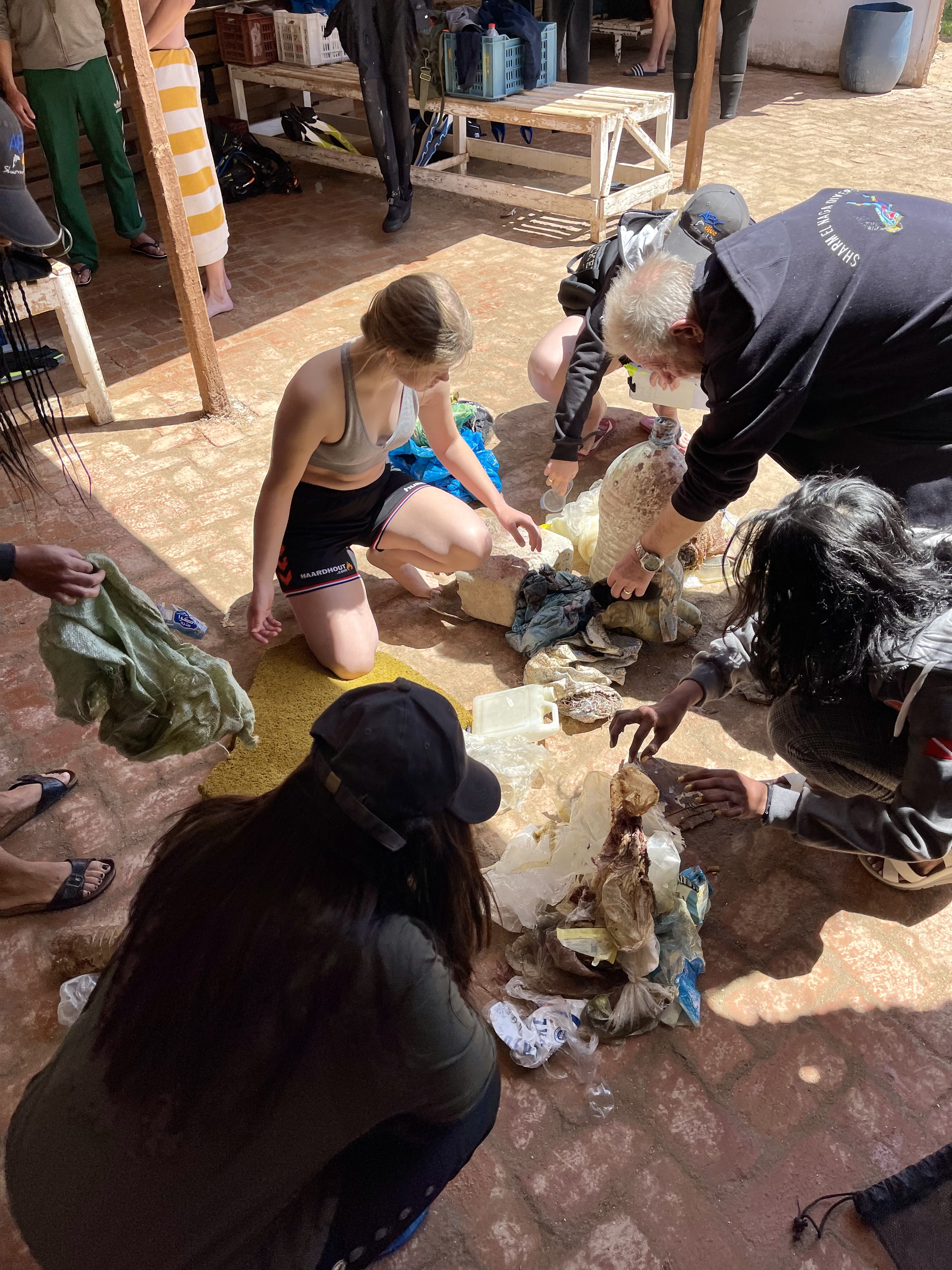
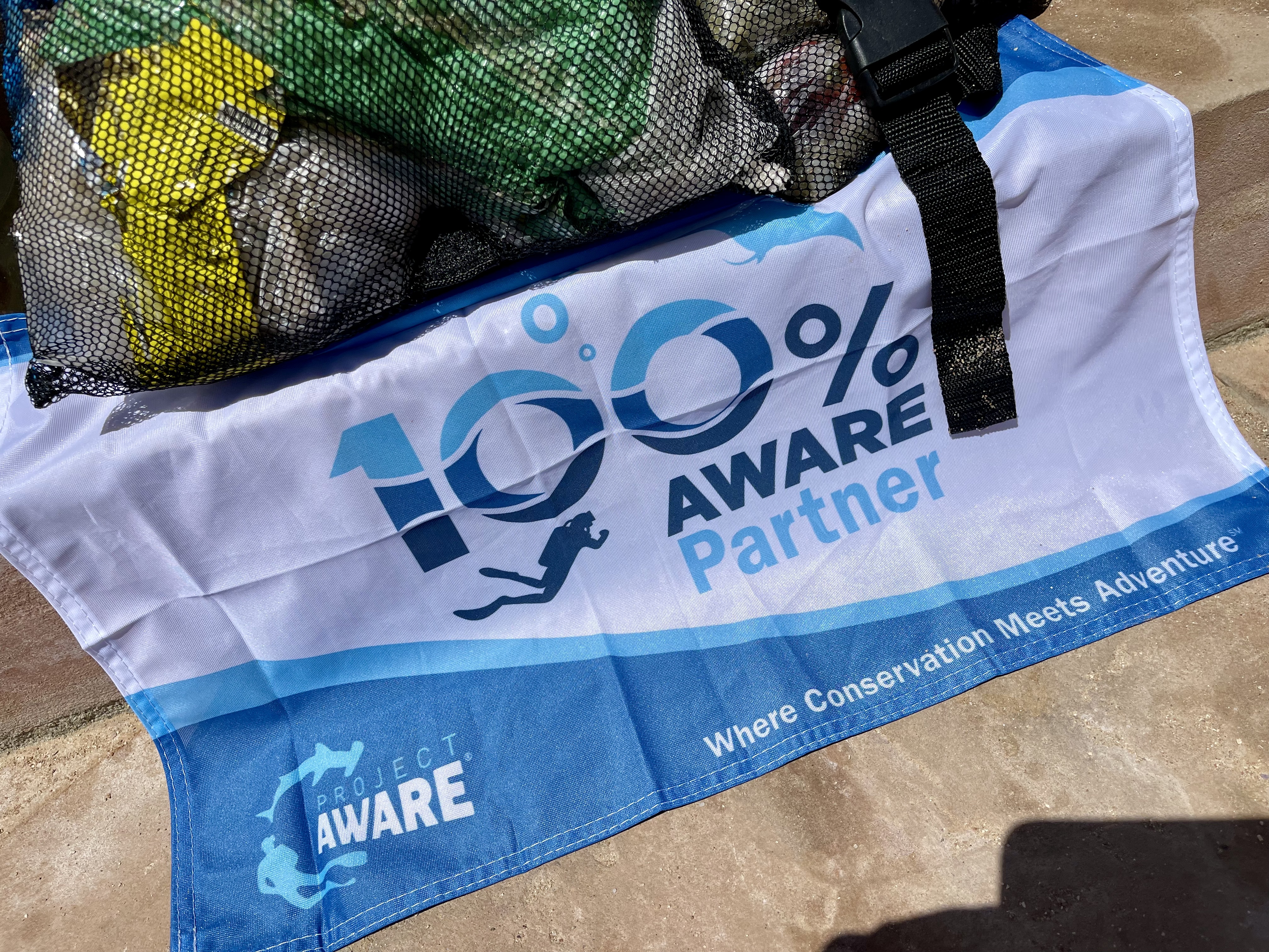
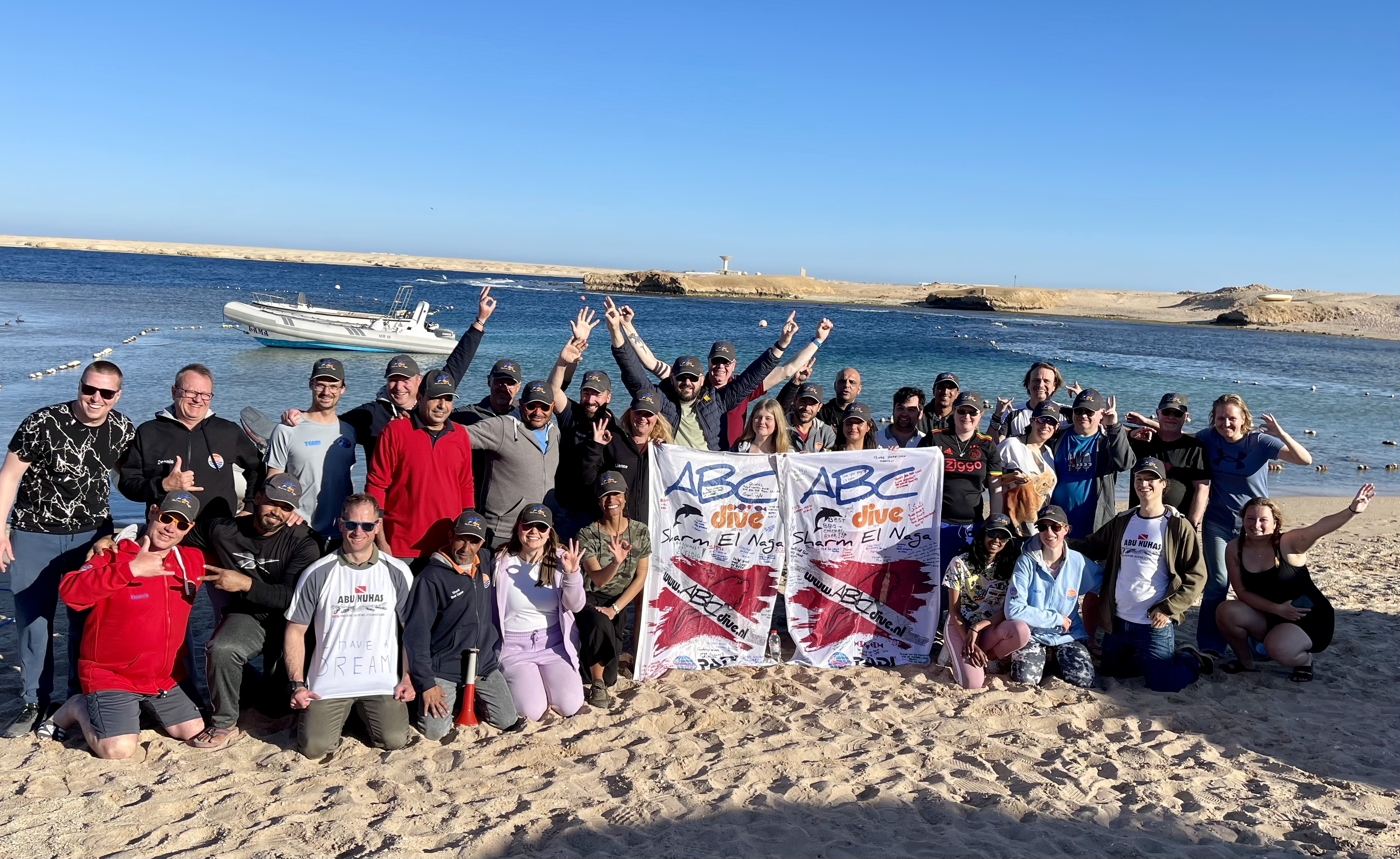
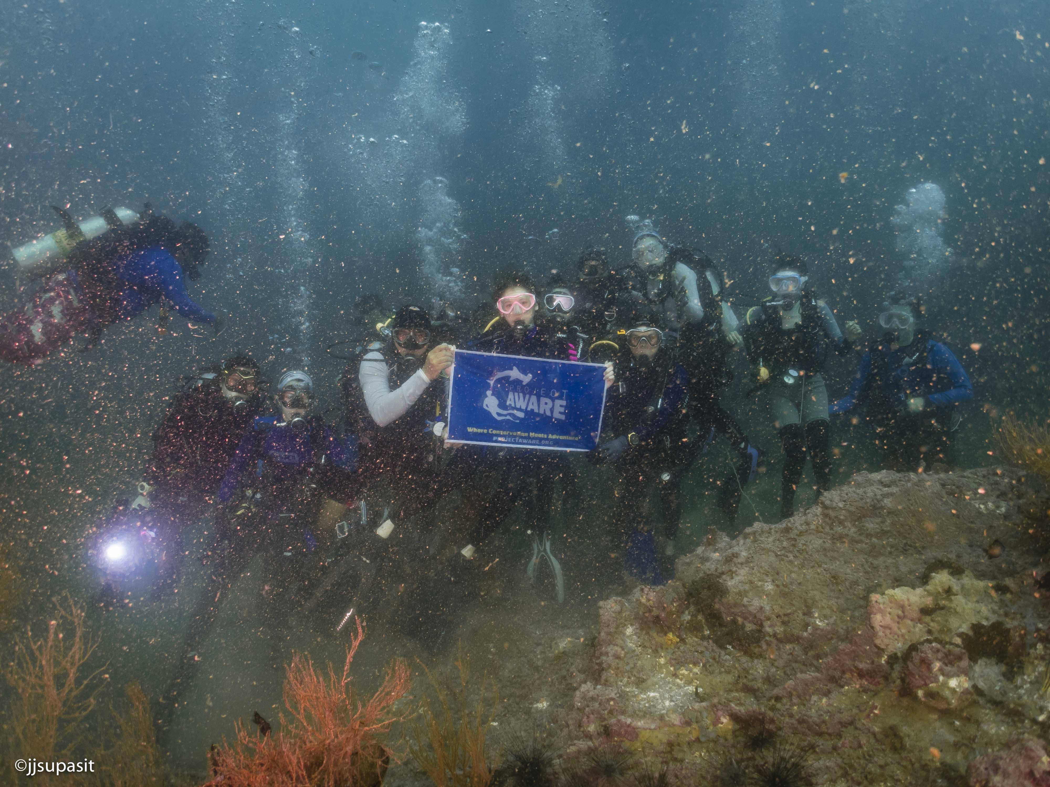
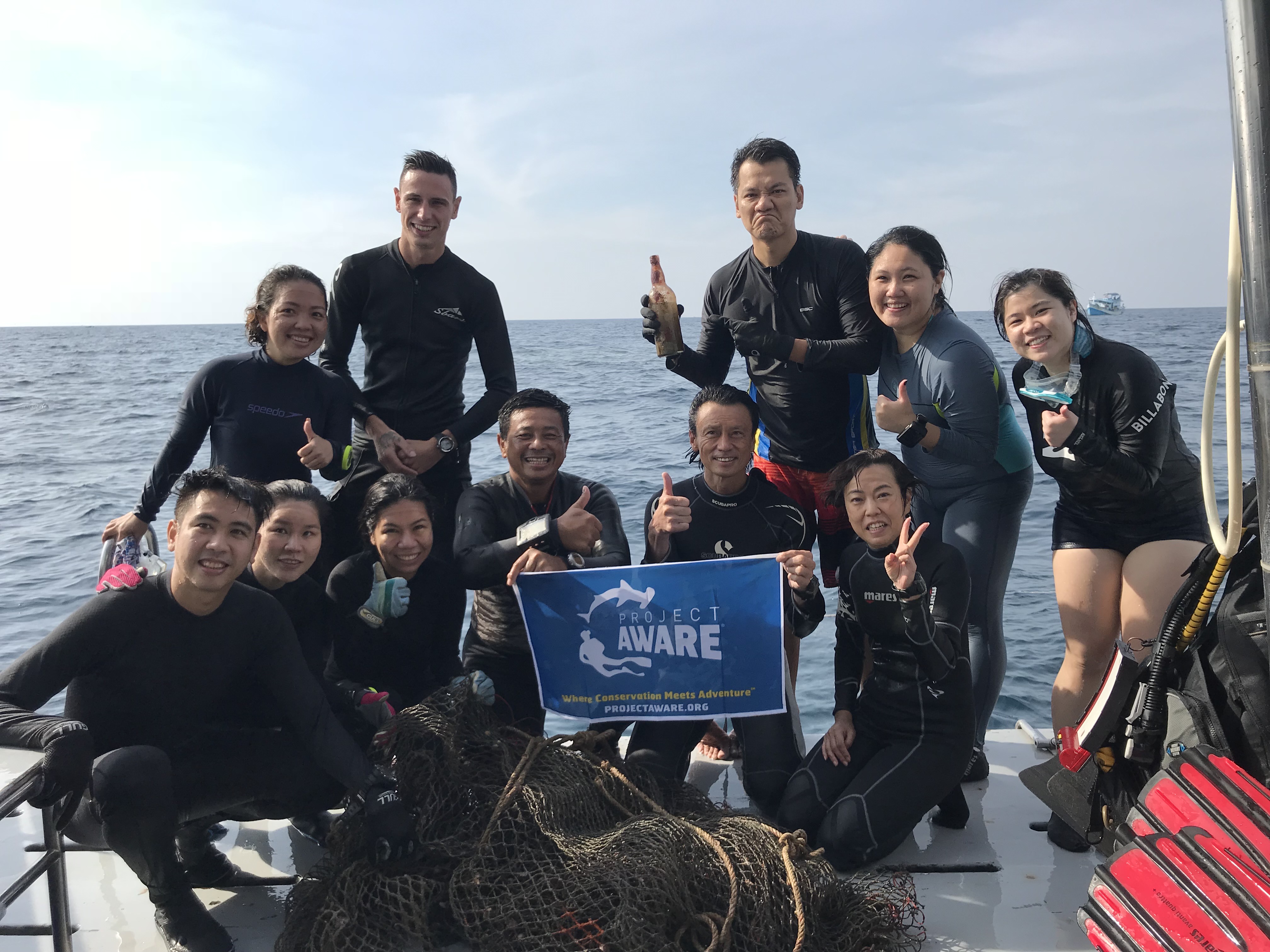
Special thanks to Matthew S and the Marker Buoy Dive Club!
Fishing pier
fishing line reported in weight (lbs)
rope reported in length (ft)
rope reported in length (ft)
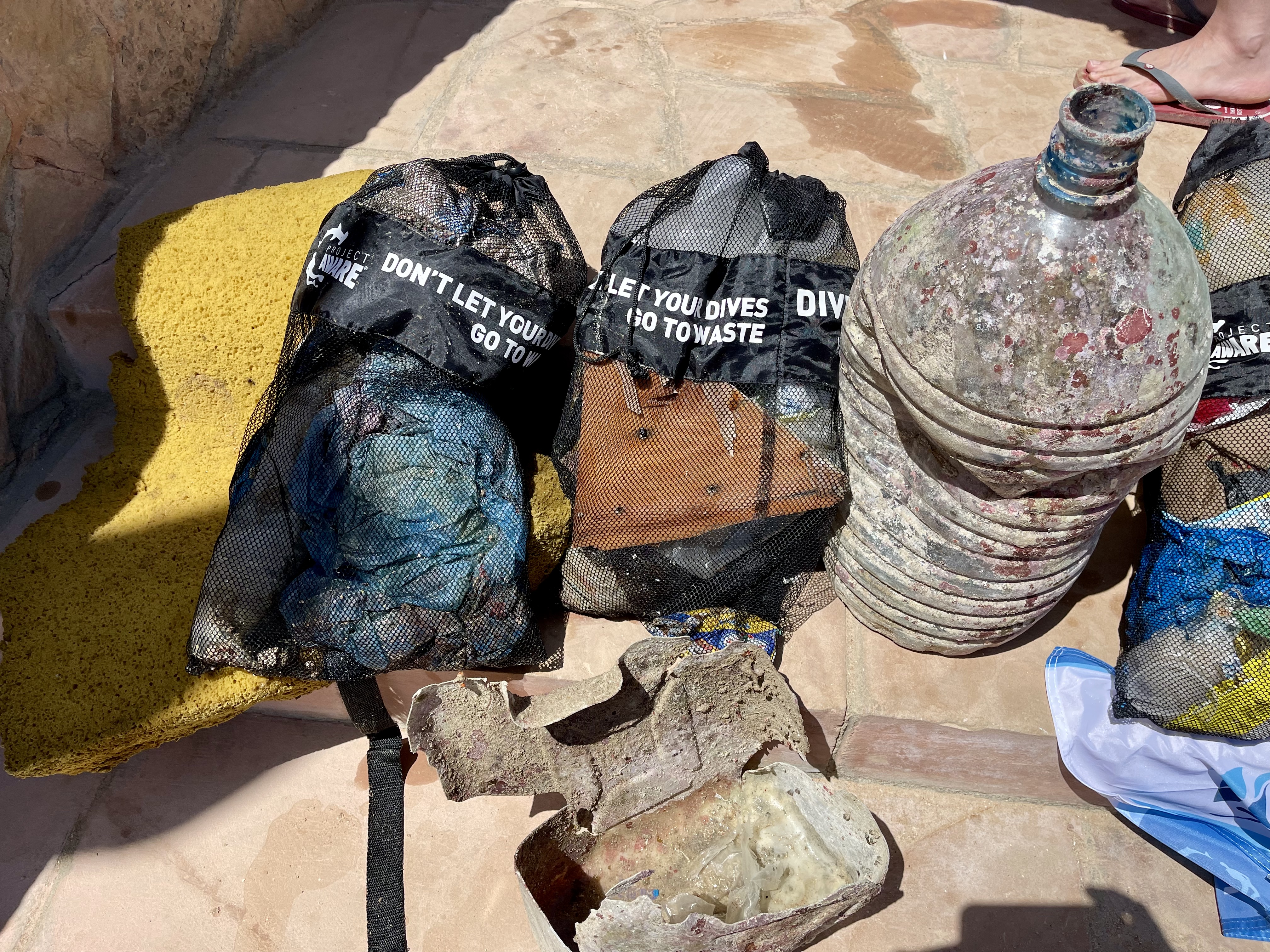
An old flip phone
Highs in the 50's
Lite rain through the week
Lite rain through the week
Emerald Sea Dive Club & Marker Buoy Dive Club
Bill Berger
20
4
4
3
6
40.00
45
60.00
30.00
20
measured
4
90
4500.00
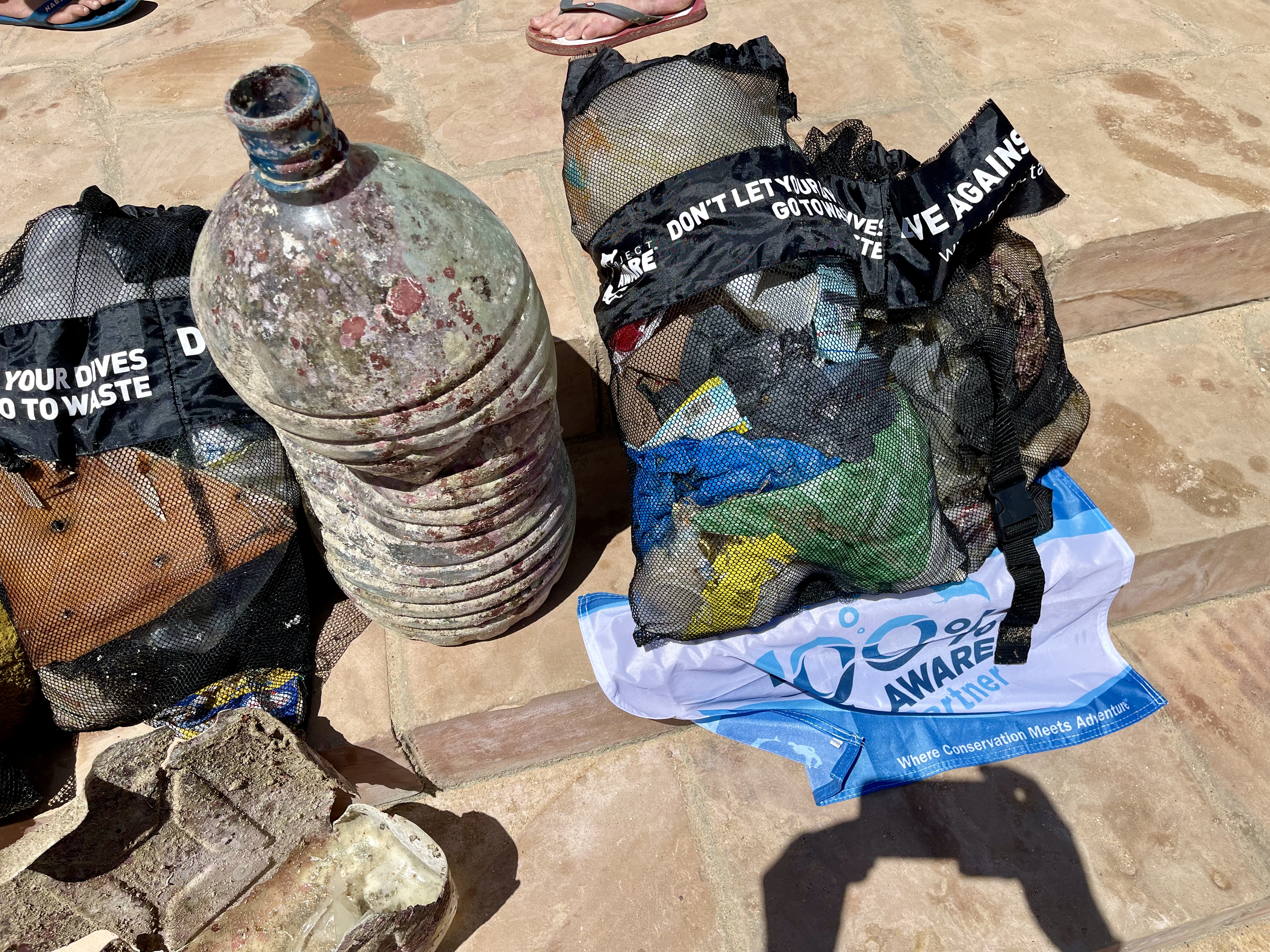
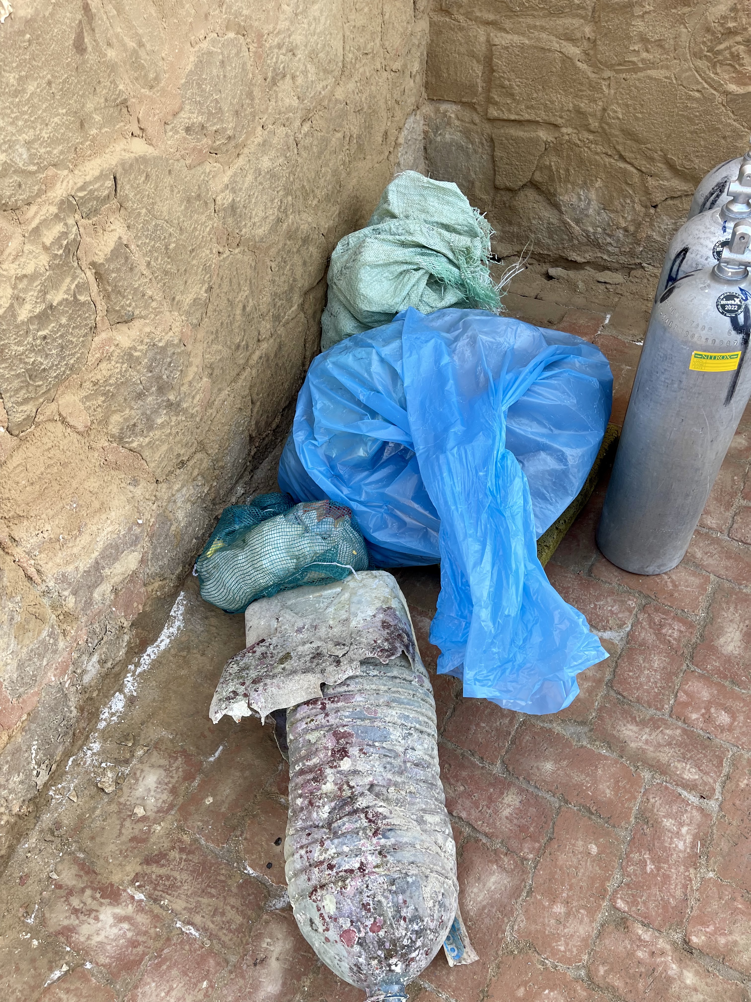
fishing line
squid jigs
lead weights
On
pounds
I have debris data to report
2
Calm (glassy to rippled) for waves 0 – 0.1 meter high
1
ft2


feet
other
4
8
1
5
2
2
State\Province
WA
City
Edmonds
Map Help
Dive Location
If you know your survey site coordinates, enter them manually in decimal degrees using WGS84 Map Datum. Use the minus sign for latitudes south of the equator and longitudes west of the Prime Meridian to 180 degrees.
If you do not know your survey site coordinates, click the “Map Location” tab to use the map to zoom into your survey site and drop the pin on the map to fall within your survey dive site in the water (not on land or the beach). Ensure you zoom in as much as possible to ensure data accuracy.
Entangled Help
Use the vertical tabs below to record any entangled animals you found of each type.
Ecosystem Other
artificial
Dominant Substrate Other
tire reef