Sunny Isles Pier
10
2
25.930175, -80.118445
1
sand
3
4
16
25.9428707, -80.1233802
None
None
None
None
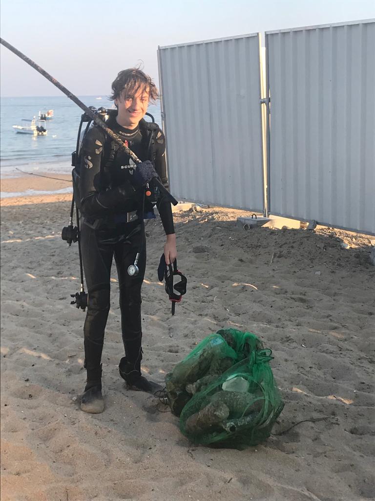
Plastic ring
Necklace
Sand bag
Necklace
Sand bag
Good
Squalo Divers & Sunny Isles Beach City
Alejandro Otero
6
9
20
3
8
4
4
3
20.00
74
16.00
4.00
estimated
4
8
776.00
7
Fishing line
Hooks
Sinkers
On
pounds
I have debris data to report
4
Calm (glassy to rippled) for waves 0 – 0.1 meter high
18
Fishing line
Crab
Released Unharmed
3
16
ft2


feet
other
8
5
19
4
3
State\Province
Florida
City
Sunny Isles
Map Help
Dive Location
If you know your survey site coordinates, enter them manually in decimal degrees using WGS84 Map Datum. Use the minus sign for latitudes south of the equator and longitudes west of the Prime Meridian to 180 degrees.
If you do not know your survey site coordinates, click the “Map Location” tab to use the map to zoom into your survey site and drop the pin on the map to fall within your survey dive site in the water (not on land or the beach). Ensure you zoom in as much as possible to ensure data accuracy.
Entangled Help
Use the vertical tabs below to record any entangled animals you found of each type.
Ecosystem Other
Sand