Menu

Davis Reef

24.54982, -80.29877

coral
Islamorada Dive Center
3
0.00
45
30.00
20.00
estimated
150.00
On
pounds
Our Survey Site was free of debris
Smooth (wavelets) for waves 0.1 - 0.5 meter high ft2
feet
coral reef
United States
Map Help


Dive Location

If you know your survey site coordinates, enter them manually in decimal degrees using WGS84 Map Datum. Use the minus sign for latitudes south of the equator and longitudes west of the Prime Meridian to 180 degrees.

If you do not know your survey site coordinates, click the “Map Location” tab to use the map to zoom into your survey site and drop the pin on the map to fall within your survey dive site in the water (not on land or the beach). Ensure you zoom in as much as possible to ensure data accuracy.

Entangled Help


Use the vertical tabs below to record any entangled animals you found of each type.

Davey Crocker

24.9142, -80.51611

coral
Islamorada Dive Center
3
0.00
45
30.00
20.00
estimated
100.00
On
pounds
Our Survey Site was free of debris
Smooth (wavelets) for waves 0.1 - 0.5 meter high ft2
feet
coral reef
United States
Map Help


Dive Location

If you know your survey site coordinates, enter them manually in decimal degrees using WGS84 Map Datum. Use the minus sign for latitudes south of the equator and longitudes west of the Prime Meridian to 180 degrees.

If you do not know your survey site coordinates, click the “Map Location” tab to use the map to zoom into your survey site and drop the pin on the map to fall within your survey dive site in the water (not on land or the beach). Ensure you zoom in as much as possible to ensure data accuracy.

Entangled Help


Use the vertical tabs below to record any entangled animals you found of each type.

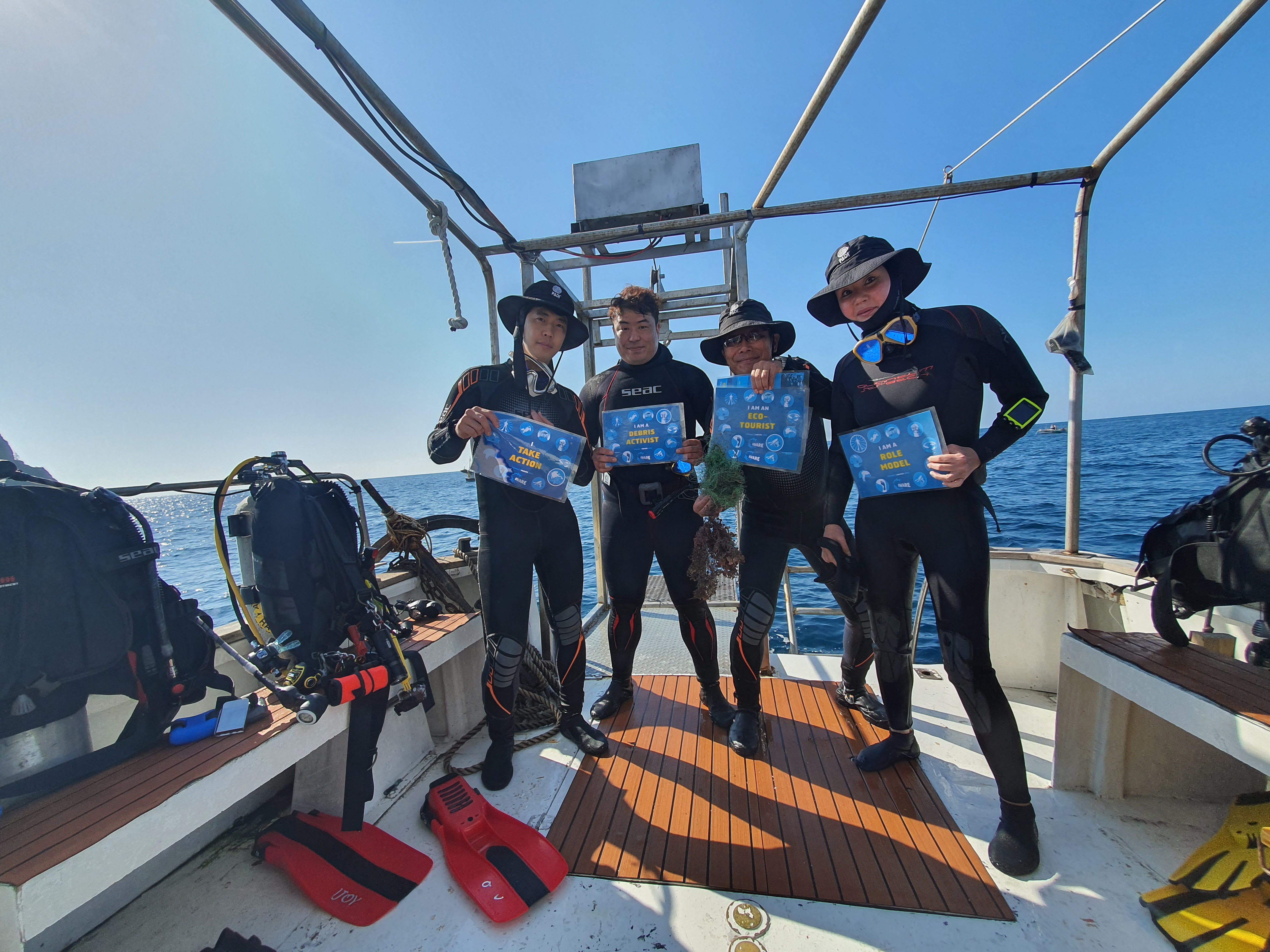
Playa Chica

28.9191433, -13.6673399

sand
2
1
Face mask
Timanfaya Sub
Arianna Casals Aznar
2
6
0.50
50
26.00
5.00
estimated
16282.80
On
kilograms
I have debris data to report
Smooth (wavelets) for waves 0.1 - 0.5 meter high m2
meters
rocky reef
Spain
State\Province
Las Palmas
City
Lanzarote
Map Help


Dive Location

If you know your survey site coordinates, enter them manually in decimal degrees using WGS84 Map Datum. Use the minus sign for latitudes south of the equator and longitudes west of the Prime Meridian to 180 degrees.

If you do not know your survey site coordinates, click the “Map Location” tab to use the map to zoom into your survey site and drop the pin on the map to fall within your survey dive site in the water (not on land or the beach). Ensure you zoom in as much as possible to ensure data accuracy.
Entangled Help


Use the vertical tabs below to record any entangled animals you found of each type.

Bannerfish Bay

108
gravel
1
4

28.498397067992, 34.518682043631

despite the amount of cigarette buds we found it was still an underwater cleanup
windy
Sea Dancer Dive Center
Marlies Lang
6
309
8
15
6
2.00
50
15.00
2.00
estimated
150.00
18
cigarette buds
2
On
kilograms
I have debris data to report
1
Slight for waves 0.5 -1.25 meter high m2
25
meters
seagrass
40
1
5
Egypt
State\Province
South Sinai
City
Dahab
Map Help


Dive Location

If you know your survey site coordinates, enter them manually in decimal degrees using WGS84 Map Datum. Use the minus sign for latitudes south of the equator and longitudes west of the Prime Meridian to 180 degrees.

If you do not know your survey site coordinates, click the “Map Location” tab to use the map to zoom into your survey site and drop the pin on the map to fall within your survey dive site in the water (not on land or the beach). Ensure you zoom in as much as possible to ensure data accuracy.
Entangled Help


Use the vertical tabs below to record any entangled animals you found of each type.

Cristal bay

36
43
4
sand
6
1

-8.7156907860458, 115.45778289384

compact make up and dive knife
Calm,Sunny,Rain
9
Plastic corregated roufing sheets
Indooceanproject
Daria
5
1
3
5
1
5
12.00
60
16.00
5.00
4
measured
700.00
Ghost nets
Plasctic fragment
Food packets
On
kilograms
I have debris data to report
Smooth (wavelets) for waves 0.1 - 0.5 meter high
6
1
14
m2
meters
coral reef
Indonesia
State\Province
Bali
City
Nusa penida Klungkung
Map Help


Dive Location

If you know your survey site coordinates, enter them manually in decimal degrees using WGS84 Map Datum. Use the minus sign for latitudes south of the equator and longitudes west of the Prime Meridian to 180 degrees.

If you do not know your survey site coordinates, click the “Map Location” tab to use the map to zoom into your survey site and drop the pin on the map to fall within your survey dive site in the water (not on land or the beach). Ensure you zoom in as much as possible to ensure data accuracy.

Entangled Help


Use the vertical tabs below to record any entangled animals you found of each type.

Mala Wharf

3
10
0
2

20.885255, -156.687288

3
0
0
silt
0
0
0
4
0
No. General waste.
Shopping cart!
Sunny
1
2
1
1
1
CD holder with CD
Covid masks
Metal sailboat winch
Corrugated metal roofing
Shopping cart
Dive Maui
Renee Street
0
4
0
1
0
0
0
0
2
0
0
0
2
0
0
0
0
2
11
15
0
0
1
0
0
1
1
1
0
0
0
0
0
0
0
0
110.00
55
25.00
6.00
0
measured
0
0
0
9
118.76
0
0
0
0
0
Fishing supplies
Glass bottles
Sailing supplies
5
On
pounds
0
I have debris data to report
19
0
0
Calm (glassy to rippled) for waves 0 – 0.1 meter high
0
0
0
0
5
1
0
m2
10
0
feet
coral reef
5
0
0
0
1
0
2
0
0
2
0
0
0
0
0
9
0
2
0
0
0
0
13
0
0
0
0
0
0
United States
State\Province
Hi
City
Lahaina
Map Help


Dive Location

If you know your survey site coordinates, enter them manually in decimal degrees using WGS84 Map Datum. Use the minus sign for latitudes south of the equator and longitudes west of the Prime Meridian to 180 degrees.

If you do not know your survey site coordinates, click the “Map Location” tab to use the map to zoom into your survey site and drop the pin on the map to fall within your survey dive site in the water (not on land or the beach). Ensure you zoom in as much as possible to ensure data accuracy.

Entangled Help


Use the vertical tabs below to record any entangled animals you found of each type.

moon island

gravel

33.227241873328, 126.56795261968

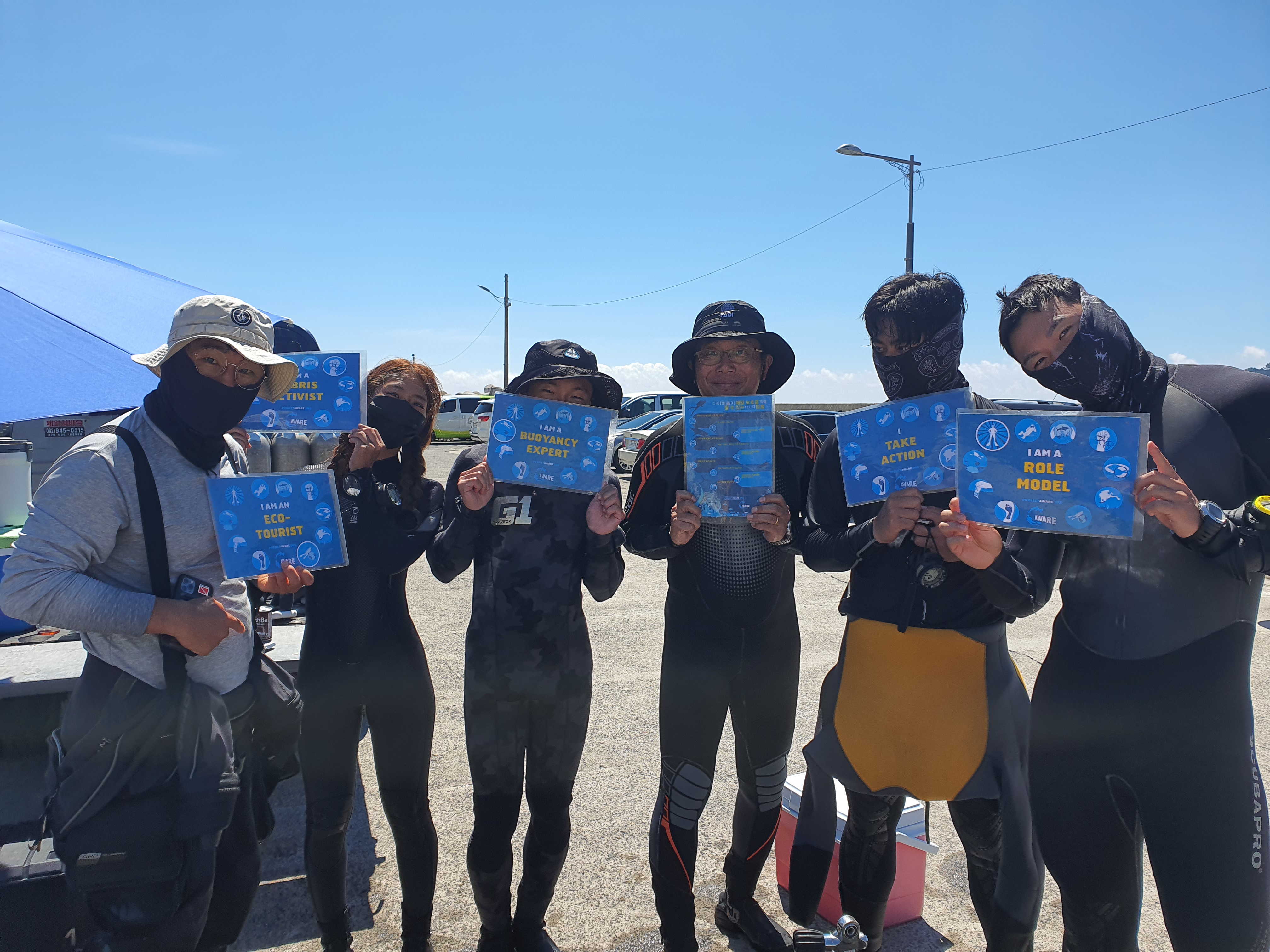
enjoycebudiving
kim sungkuk
4
5.00
30
25.00
10.00
1
estimated
1
100.00
On
kilograms
I have debris data to report
1
Calm (glassy to rippled) for waves 0 – 0.1 meter high m2
meters
rocky reef
1
South Korea
State\Province
seogwipo city
City
jeju
Map Help


Dive Location

If you know your survey site coordinates, enter them manually in decimal degrees using WGS84 Map Datum. Use the minus sign for latitudes south of the equator and longitudes west of the Prime Meridian to 180 degrees.

If you do not know your survey site coordinates, click the “Map Location” tab to use the map to zoom into your survey site and drop the pin on the map to fall within your survey dive site in the water (not on land or the beach). Ensure you zoom in as much as possible to ensure data accuracy.

Entangled Help


Use the vertical tabs below to record any entangled animals you found of each type.

seogwipo city. beom isiand

1
gravel

33.218253684041, 126.51438164013

enjoycebudiving
kim sungkuk
1
6
1
1
1
10.00
35
30.00
28.00
estimated
300.00
On
kilograms
I have debris data to report
Smooth (wavelets) for waves 0.1 - 0.5 meter high m2
meters
rocky reef
South Korea
State\Province
jeju-do
City
jeju
Map Help


Dive Location

If you know your survey site coordinates, enter them manually in decimal degrees using WGS84 Map Datum. Use the minus sign for latitudes south of the equator and longitudes west of the Prime Meridian to 180 degrees.

If you do not know your survey site coordinates, click the “Map Location” tab to use the map to zoom into your survey site and drop the pin on the map to fall within your survey dive site in the water (not on land or the beach). Ensure you zoom in as much as possible to ensure data accuracy.

Entangled Help


Use the vertical tabs below to record any entangled animals you found of each type.

Hammerhead

24.891106, -80.545582

coral
Islamorada Dive Center
3
0.00
45
60.00
40.00
estimated
100.00
On
pounds
I have debris data to report
1
Smooth (wavelets) for waves 0.1 - 0.5 meter high ft2
feet
coral reef
United States
Map Help


Dive Location

If you know your survey site coordinates, enter them manually in decimal degrees using WGS84 Map Datum. Use the minus sign for latitudes south of the equator and longitudes west of the Prime Meridian to 180 degrees.

If you do not know your survey site coordinates, click the “Map Location” tab to use the map to zoom into your survey site and drop the pin on the map to fall within your survey dive site in the water (not on land or the beach). Ensure you zoom in as much as possible to ensure data accuracy.

Entangled Help


Use the vertical tabs below to record any entangled animals you found of each type.

Crocker

24.90874, -80.52561

1
coral
1
Anchor
Islamorada Dive Center
5
1
20.00
45
70.00
40.00
estimated
300.00
On
pounds
I have debris data to report
Smooth (wavelets) for waves 0.1 - 0.5 meter high
1
ft2
feet
coral reef
1
United States
Map Help


Dive Location

If you know your survey site coordinates, enter them manually in decimal degrees using WGS84 Map Datum. Use the minus sign for latitudes south of the equator and longitudes west of the Prime Meridian to 180 degrees.

If you do not know your survey site coordinates, click the “Map Location” tab to use the map to zoom into your survey site and drop the pin on the map to fall within your survey dive site in the water (not on land or the beach). Ensure you zoom in as much as possible to ensure data accuracy.

Entangled Help


Use the vertical tabs below to record any entangled animals you found of each type.

Subscribe to