Aow Leuk Bay Koh Tao
401
1
sand
60
3
10.072130121236, 99.841184430021
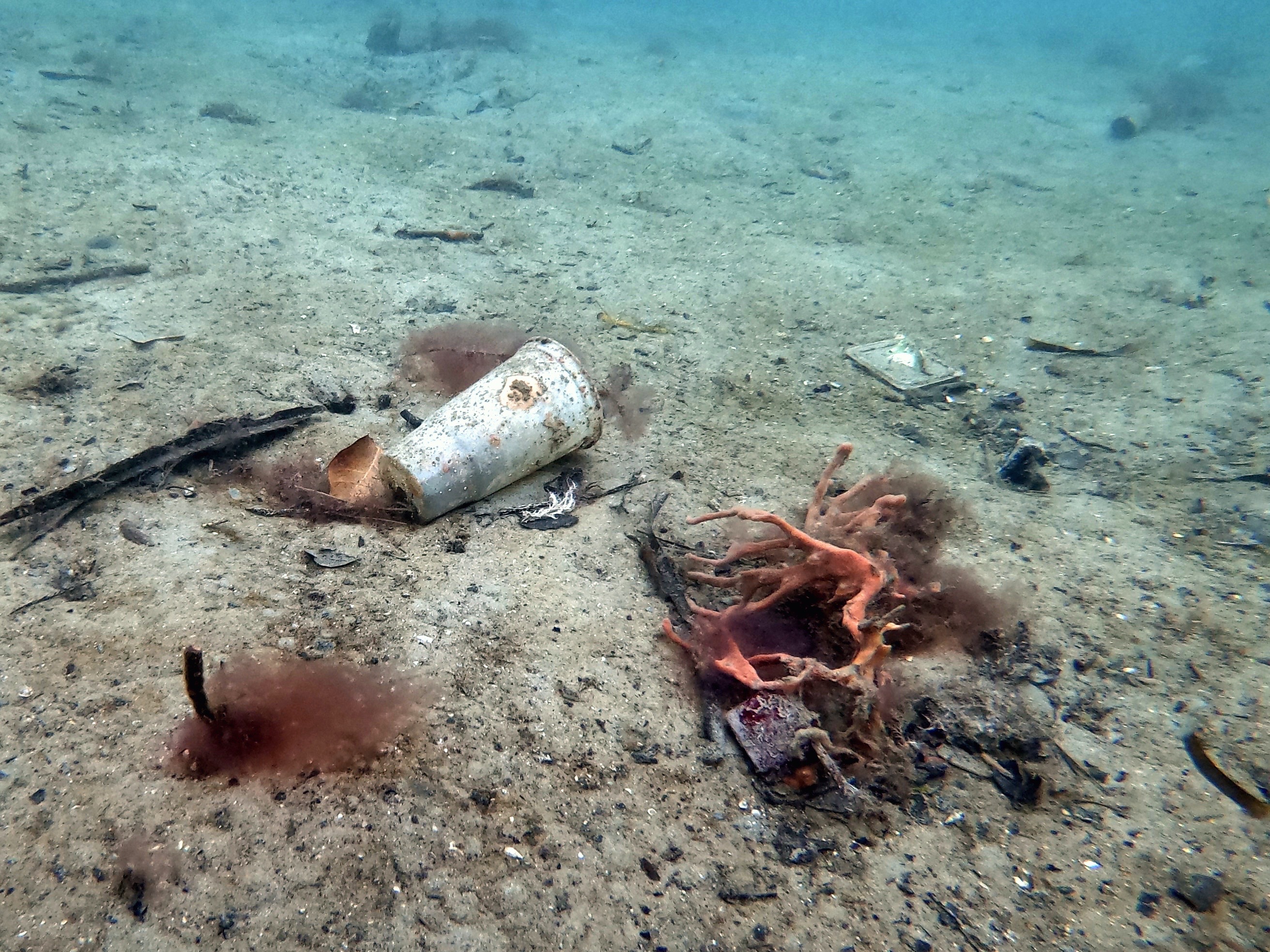
Seasonal wind carries debris across ocean into our east side bays this time of year
Action Man toy
60
Face Masks
Black Turtle Dive Koh Tao
Steve Minks
2
2
116
3
8
10
5
14
5
215
1
7
70
2
1
117.00
38
14.00
6.00
measured
300.00
8
On
kilograms
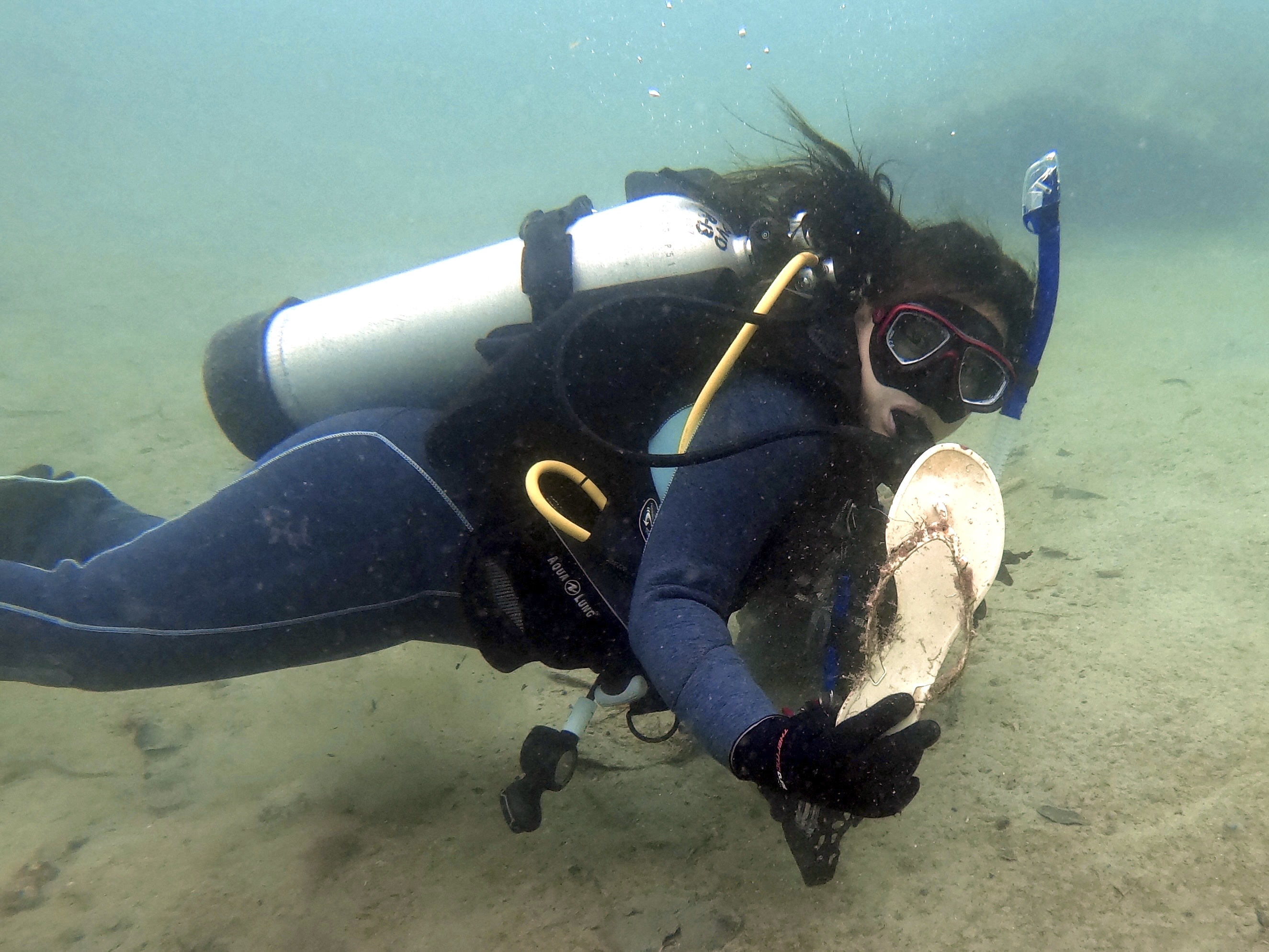
I have debris data to report
3
Moderate to rough for waves greater than 1.25 meters
14
fishing lines and plastic
Crabs
Released Unharmed
20
2
9
11
41
m2


100
meters
coral reef
1
1
7
4
2
11
4
State\Province
Surat Thani
City
Koh Tao
Map Help
Dive Location
If you know your survey site coordinates, enter them manually in decimal degrees using WGS84 Map Datum. Use the minus sign for latitudes south of the equator and longitudes west of the Prime Meridian to 180 degrees.
If you do not know your survey site coordinates, click the “Map Location” tab to use the map to zoom into your survey site and drop the pin on the map to fall within your survey dive site in the water (not on land or the beach). Ensure you zoom in as much as possible to ensure data accuracy.
Entangled Help