Menu

Conch Wall

24.96161, -80.45337

coral
Windy
Florida Keys Dive Center
Faith
1
6
0.00
35
60.00
47.00
estimated
2000.00
On
pounds
I have debris data to report
Moderate to rough for waves greater than 1.25 meters ft2
feet
coral reef
United States
State\Province
FL
City
Tavernier
Map Help


Dive Location

If you know your survey site coordinates, enter them manually in decimal degrees using WGS84 Map Datum. Use the minus sign for latitudes south of the equator and longitudes west of the Prime Meridian to 180 degrees.

If you do not know your survey site coordinates, click the “Map Location” tab to use the map to zoom into your survey site and drop the pin on the map to fall within your survey dive site in the water (not on land or the beach). Ensure you zoom in as much as possible to ensure data accuracy.

Entangled Help


Use the vertical tabs below to record any entangled animals you found of each type.

Davey Crocker

24.9142, -80.51611

coral
The nurse shark had multiple hooks in it's mouth as well as approximately 3 feet of line hanging from those hooks. The hooks and line were not able to be removed from the shark.
Florida Keys Dive Center
Seanna Knight
7
5.00
45
25.00
20.00
estimated
100.00
On
pounds
I have debris data to report
Smooth (wavelets) for waves 0.1 - 0.5 meter high
1
Nurse Shark
1
ft2
feet
coral reef
Fishing hooks and monofilament
United States
State\Province
FL
City
Tavernier
Map Help


Dive Location

If you know your survey site coordinates, enter them manually in decimal degrees using WGS84 Map Datum. Use the minus sign for latitudes south of the equator and longitudes west of the Prime Meridian to 180 degrees.

If you do not know your survey site coordinates, click the “Map Location” tab to use the map to zoom into your survey site and drop the pin on the map to fall within your survey dive site in the water (not on land or the beach). Ensure you zoom in as much as possible to ensure data accuracy.

Entangled Help


Use the vertical tabs below to record any entangled animals you found of each type.

Davis Reef

24.987718373323, -80.49604552117

coral
Florida Keys Dive Center
Seanna Knight
7
0.00
45
25.00
20.00
estimated
250.00
On
pounds
Our Survey Site was free of debris
Smooth (wavelets) for waves 0.1 - 0.5 meter high ft2
feet
coral reef
United States
State\Province
FL
City
Tavernier
Map Help


Dive Location

If you know your survey site coordinates, enter them manually in decimal degrees using WGS84 Map Datum. Use the minus sign for latitudes south of the equator and longitudes west of the Prime Meridian to 180 degrees.

If you do not know your survey site coordinates, click the “Map Location” tab to use the map to zoom into your survey site and drop the pin on the map to fall within your survey dive site in the water (not on land or the beach). Ensure you zoom in as much as possible to ensure data accuracy.
Entangled Help


Use the vertical tabs below to record any entangled animals you found of each type.

The Trench

24.873283, -80.5713

coral
Recreational Fishing and boating
plastic portion of lobster trap
Rough conditions, 3-5 ft seas, up to 29 knot winds, 30ft of visibility
1
Anchor and Chain
Key Dives
Alyssa Panzer
5
39.00
45
65.00
45.00
measured
1
3500.00
rope
plastic part of lobster trap
anchor and chain
On
pounds
I have debris data to report
Moderate to rough for waves greater than 1.25 meters ft2
1
feet
coral reef
United States
Map Help


Dive Location

If you know your survey site coordinates, enter them manually in decimal degrees using WGS84 Map Datum. Use the minus sign for latitudes south of the equator and longitudes west of the Prime Meridian to 180 degrees.

If you do not know your survey site coordinates, click the “Map Location” tab to use the map to zoom into your survey site and drop the pin on the map to fall within your survey dive site in the water (not on land or the beach). Ensure you zoom in as much as possible to ensure data accuracy.
Entangled Help


Use the vertical tabs below to record any entangled animals you found of each type.

Porthkerris

0
19
0

50.261526384347, -4.7848517466785

1
0
0
sand
0
0
1
0
0
nE winds blows into the bay from Mevagissey
Golf balls
NE winds some rain
2
0
0
0
0
0
0
0
0
0
0
0
0
0
0
0
0
0
0
0
Golf balls
Viewpoint Diving Cornwall
Dave skinnet
0
0
0
0
0
0
0
0
0
0
0
0
0
0
0
0
0
4
0
2
0
0
0
1
0
0
0
0
0
0
0
0
0
0
1.00
30
9.00
1.00
0
estimated
0
0
12704.00
0
0
0
0
0
Small plastic bit’s
0
On
kilograms
0
I have debris data to report
0
0
0
Smooth (wavelets) for waves 0.1 - 0.5 meter high
0
0
0
0
0
0
0
m2
0
0
meters
rocky reef
0
0
0
0
0
0
0
0
0
0
0
0
0
0
0
0
0
0
0
0
0
0
0
0
0
0
0
0
United Kingdom
State\Province
Cornwall
City
Portmellon
Map Help


Dive Location

If you know your survey site coordinates, enter them manually in decimal degrees using WGS84 Map Datum. Use the minus sign for latitudes south of the equator and longitudes west of the Prime Meridian to 180 degrees.

If you do not know your survey site coordinates, click the “Map Location” tab to use the map to zoom into your survey site and drop the pin on the map to fall within your survey dive site in the water (not on land or the beach). Ensure you zoom in as much as possible to ensure data accuracy.
Entangled Help


Use the vertical tabs below to record any entangled animals you found of each type.

Medhufaru

7
other

6.541188452255, 79.807798246689

The majority of wrecks around Colombo have ghost nets wrapped around them. Most of these nets have large mesh and do not appear to trap the fish which live on the wrecks. These nets do, however, affect the corals and sea fans.
No event.
The fish we found entangled during the net removal were dead. On a previous dive 2 days earlier, we were able to release 2 live fish.
Sunny, windy
Island Scuba
Emma Wilkinson
2
20.00
42
22.00
16.00
measured
10.00
Ghost fishing nets
Fishing line
Ropes
On
kilograms
I have debris data to report
Slight for waves 0.5 -1.25 meter high
Dead
Unsure of name
2
Monofilament net
m2
meters
other
Sri Lanka
City
Columbo
Map Help


Dive Location

If you know your survey site coordinates, enter them manually in decimal degrees using WGS84 Map Datum. Use the minus sign for latitudes south of the equator and longitudes west of the Prime Meridian to 180 degrees.

If you do not know your survey site coordinates, click the “Map Location” tab to use the map to zoom into your survey site and drop the pin on the map to fall within your survey dive site in the water (not on land or the beach). Ensure you zoom in as much as possible to ensure data accuracy.
Entangled Help


Use the vertical tabs below to record any entangled animals you found of each type.

Ecosystem Other
Manmade
Dominant Substrate Other
Wreck

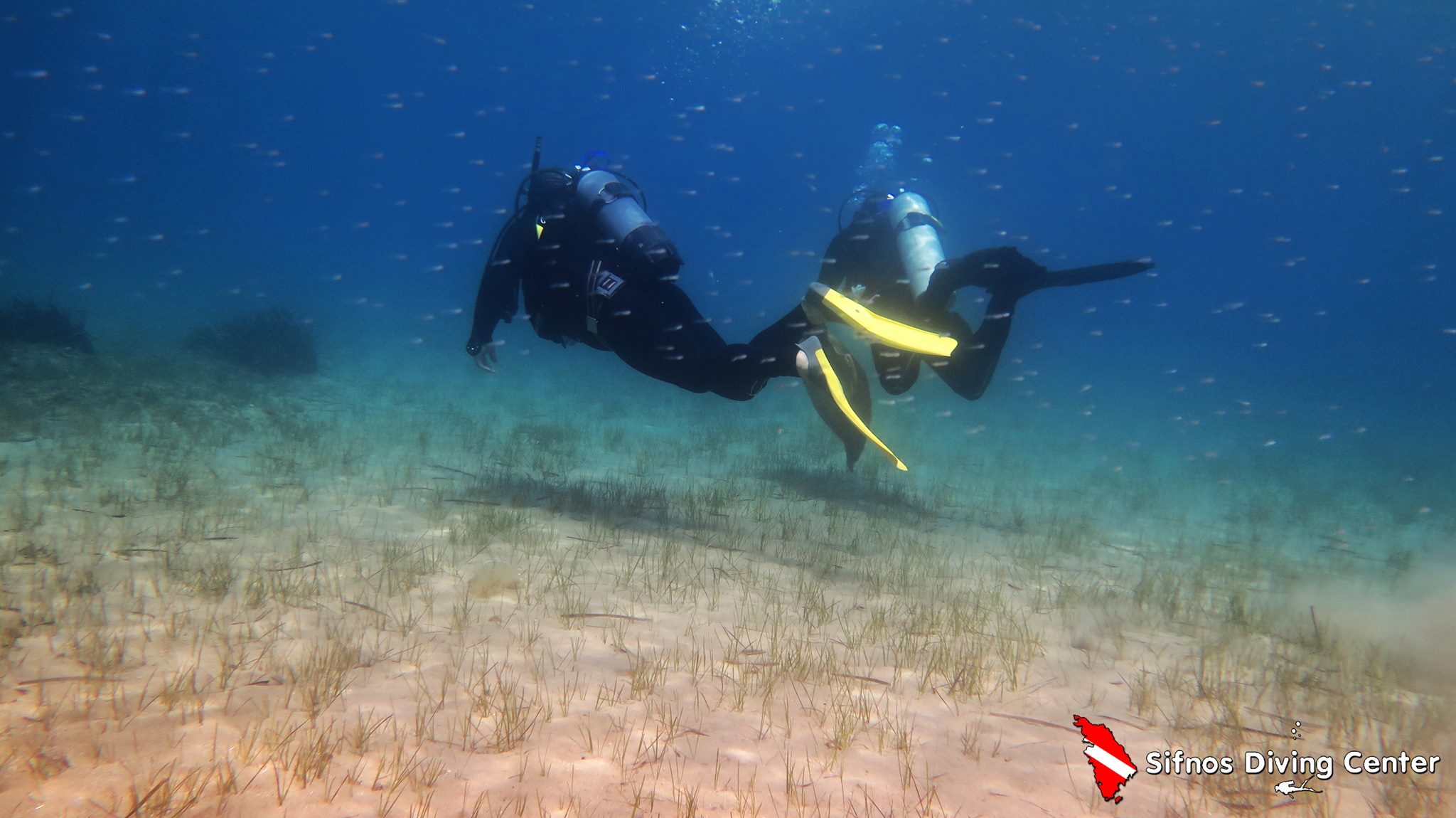
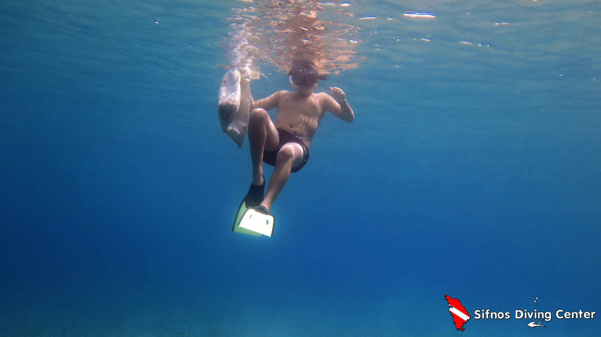
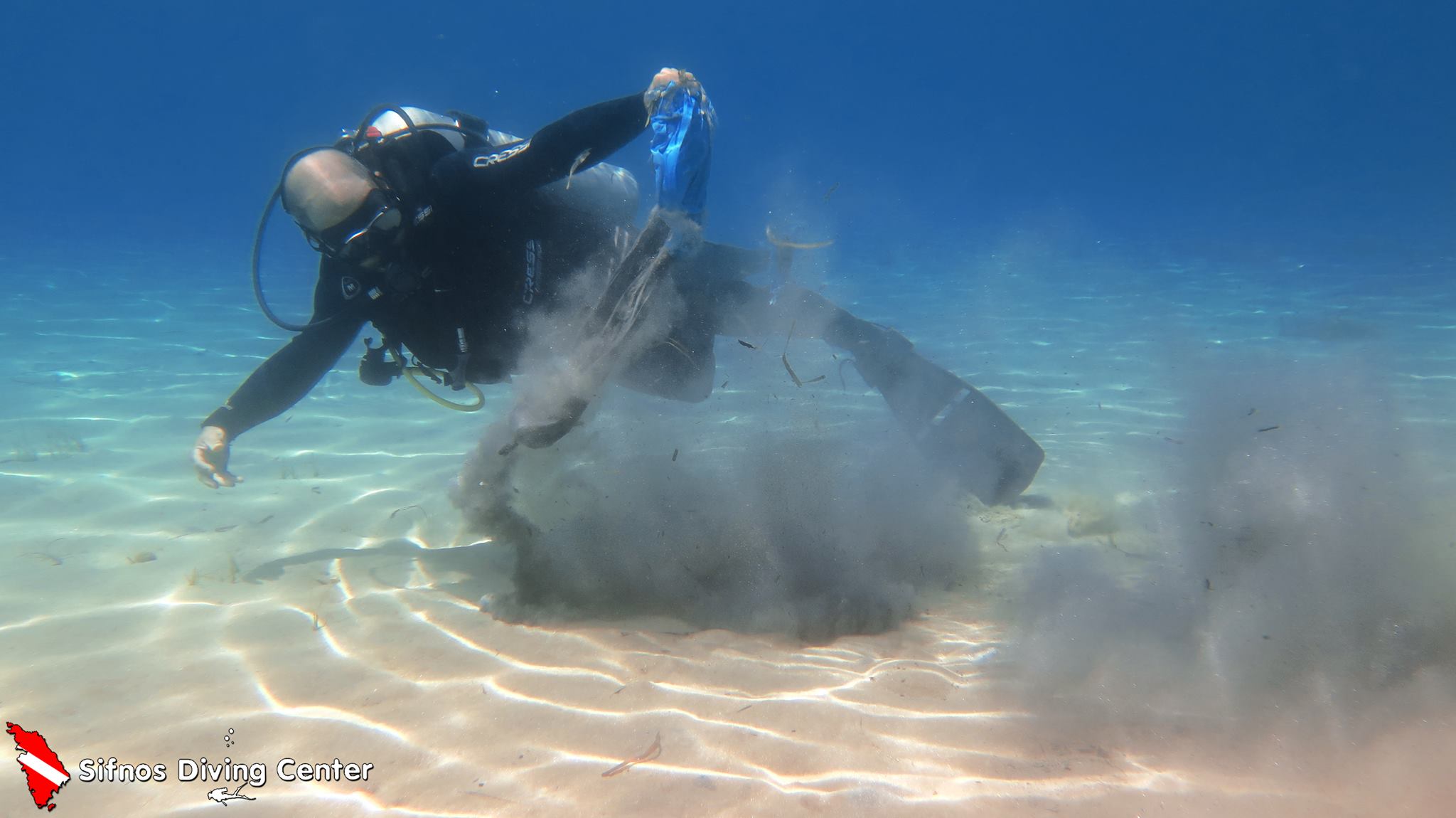
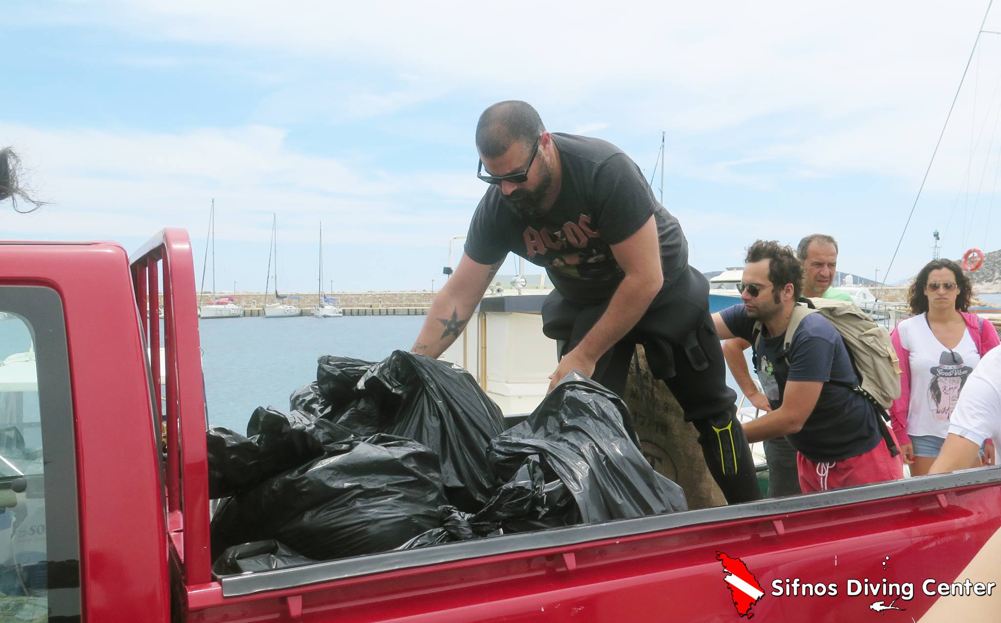
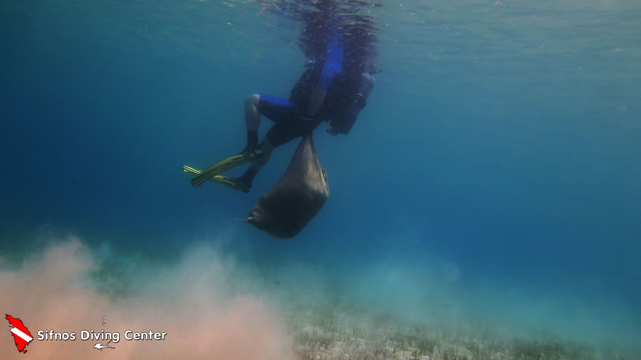
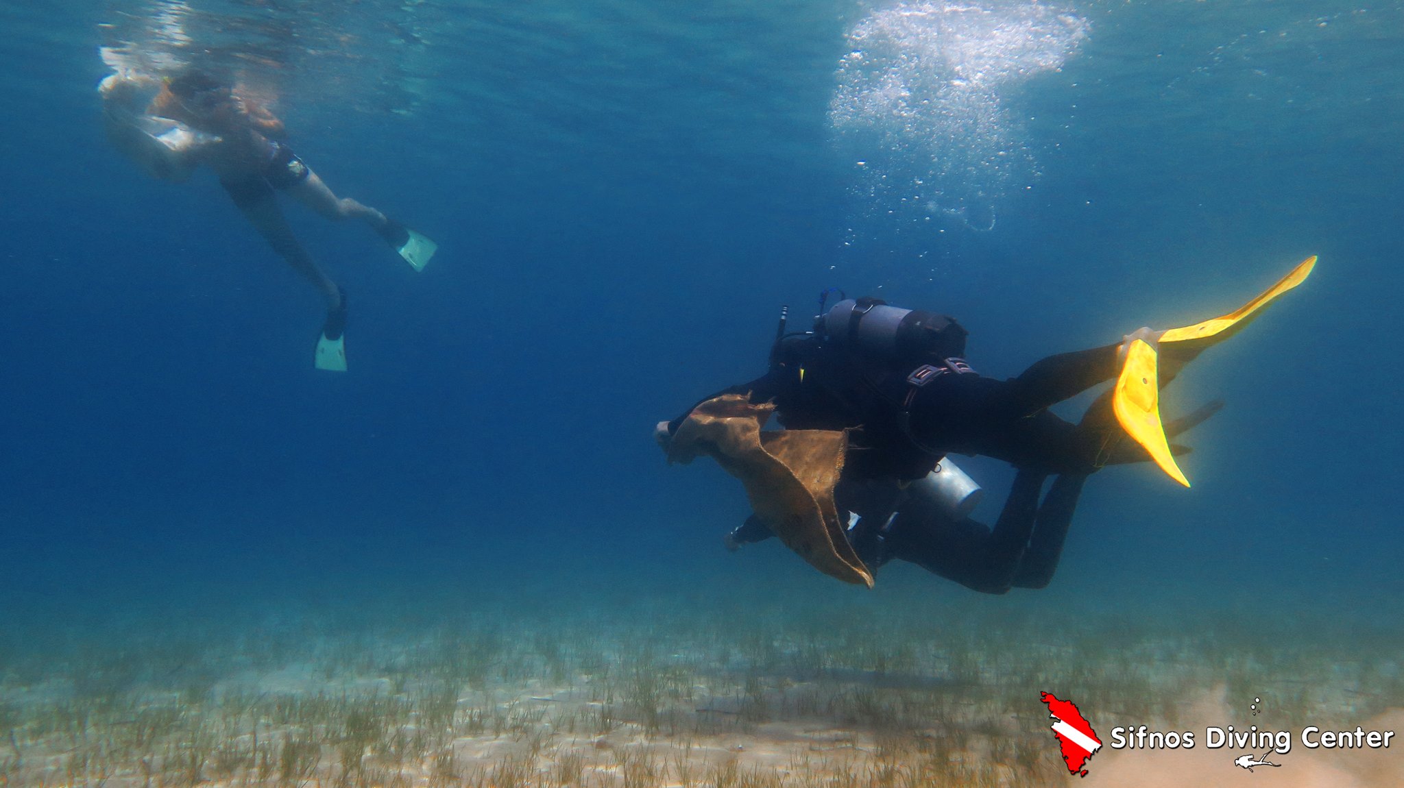
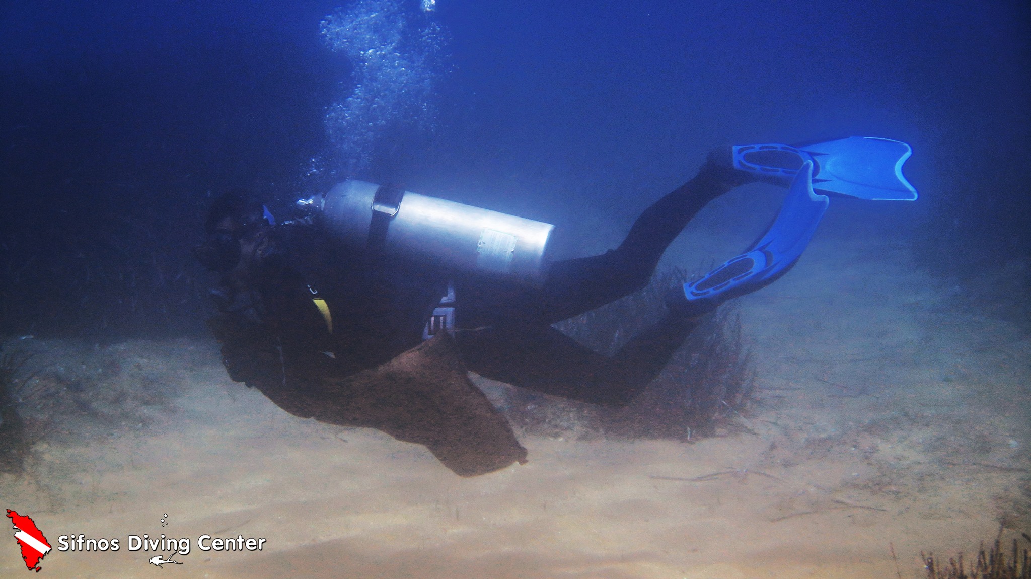
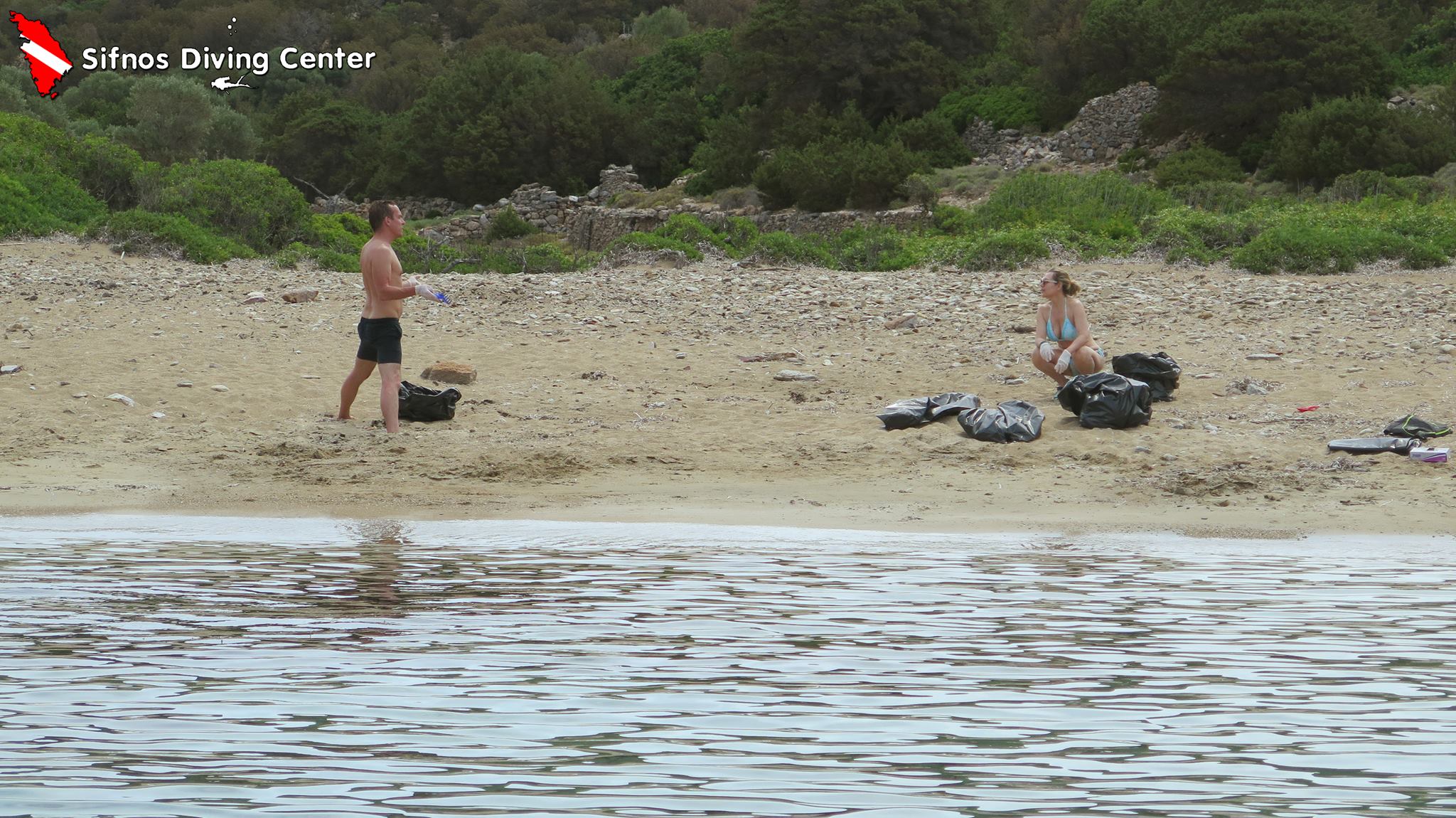
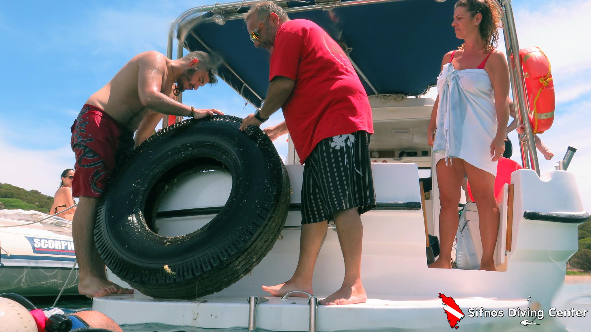
Paralia Fikiada

36.906953931585, 24.70525303167

sand

36.906953931585, 24.70525303167

Sifnos Diving Center
John Abd Elmeseh
16
120.00
45
8.00
2.00
estimated
439.96
On
kilograms
I have debris data to report
Smooth (wavelets) for waves 0.1 - 0.5 meter high m2
meters
rocky reef
Greece
City
Sifnos
Map Help


Dive Location

If you know your survey site coordinates, enter them manually in decimal degrees using WGS84 Map Datum. Use the minus sign for latitudes south of the equator and longitudes west of the Prime Meridian to 180 degrees.

If you do not know your survey site coordinates, click the “Map Location” tab to use the map to zoom into your survey site and drop the pin on the map to fall within your survey dive site in the water (not on land or the beach). Ensure you zoom in as much as possible to ensure data accuracy.
Entangled Help


Use the vertical tabs below to record any entangled animals you found of each type.

Gorilla Chop Okinawa

1
sand

26.63619077594, 127.88305878639

Honu Honu Divers Okinawa S-33244
Tetsuro NAGASAKA
2
2
1.00
30
8.00
1.00
estimated
3600.00
1
On
kilograms
I have debris data to report
Calm (glassy to rippled) for waves 0 – 0.1 meter high
1
m2
meters
coral reef
Japan
State\Province
Okinawa
City
NAHA
Map Help


Dive Location

If you know your survey site coordinates, enter them manually in decimal degrees using WGS84 Map Datum. Use the minus sign for latitudes south of the equator and longitudes west of the Prime Meridian to 180 degrees.

If you do not know your survey site coordinates, click the “Map Location” tab to use the map to zoom into your survey site and drop the pin on the map to fall within your survey dive site in the water (not on land or the beach). Ensure you zoom in as much as possible to ensure data accuracy.
Entangled Help


Use the vertical tabs below to record any entangled animals you found of each type.

Bahía Granate

0
7
0
0

11.286483, -74.19559

0
0
0
coral
0
10
0
0
0
Carry enough space to carry garbage
This is wonderful
The head of a barbie
Bueno
Atlántida buceo
Fernanda Cardona
9
0
0
4
0
0
0
0
0
0
0
0
0
0
3
0
0
0
0
1
0
0
0
0
0
0
21
2
0
6
0
0
0
0
0
0
6.00
40
9.00
2.00
0
measured
0
0
0
0
537.98
0
0
0
0
0
The area had an average current
The rubbish lodges between the stones
The stream saves the garbage
0
On
kilograms
0
I have debris data to report
0
0
0
Calm (glassy to rippled) for waves 0 – 0.1 meter high
0
0
0
0
6
0
0
m2
0
0
meters
rocky reef
0
0
0
0
0
0
0
0
0
0
0
0
0
0
0
0
1
0
0
0
0
0
0
0
0
0
0
0
0
Colombia
State\Province
Santa Marta
City
Santa Marta
Map Help


Dive Location

If you know your survey site coordinates, enter them manually in decimal degrees using WGS84 Map Datum. Use the minus sign for latitudes south of the equator and longitudes west of the Prime Meridian to 180 degrees.

If you do not know your survey site coordinates, click the “Map Location” tab to use the map to zoom into your survey site and drop the pin on the map to fall within your survey dive site in the water (not on land or the beach). Ensure you zoom in as much as possible to ensure data accuracy.
Entangled Help


Use the vertical tabs below to record any entangled animals you found of each type.

ADS575 - Red Slave

6
1

12.02636, -68.251795

coral
Great
AB-Dive
Dewi
4
31
14
3.60
42
22.00
7.00
measured
375.00
plastic bottles
On
kilograms
I have debris data to report
Smooth (wavelets) for waves 0.1 - 0.5 meter high
1
plastic bottle
Brittle Star
Released Unharmed
1
m2
meters
coral reef
Netherlands Antilles
State\Province
Bonaire
City
Kralendijk
Map Help


Dive Location

If you know your survey site coordinates, enter them manually in decimal degrees using WGS84 Map Datum. Use the minus sign for latitudes south of the equator and longitudes west of the Prime Meridian to 180 degrees.

If you do not know your survey site coordinates, click the “Map Location” tab to use the map to zoom into your survey site and drop the pin on the map to fall within your survey dive site in the water (not on land or the beach). Ensure you zoom in as much as possible to ensure data accuracy.
Entangled Help


Use the vertical tabs below to record any entangled animals you found of each type.

Subscribe to