Menu

Lionfish Reef

1

25.736433, -80.09895

coral
1
windy
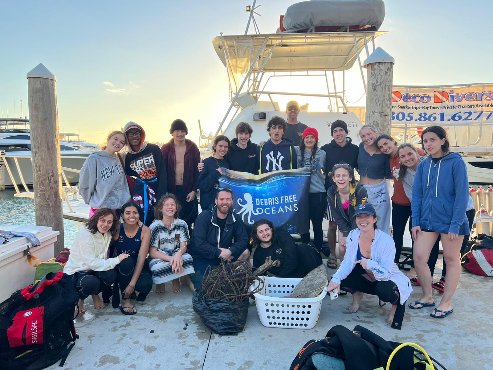
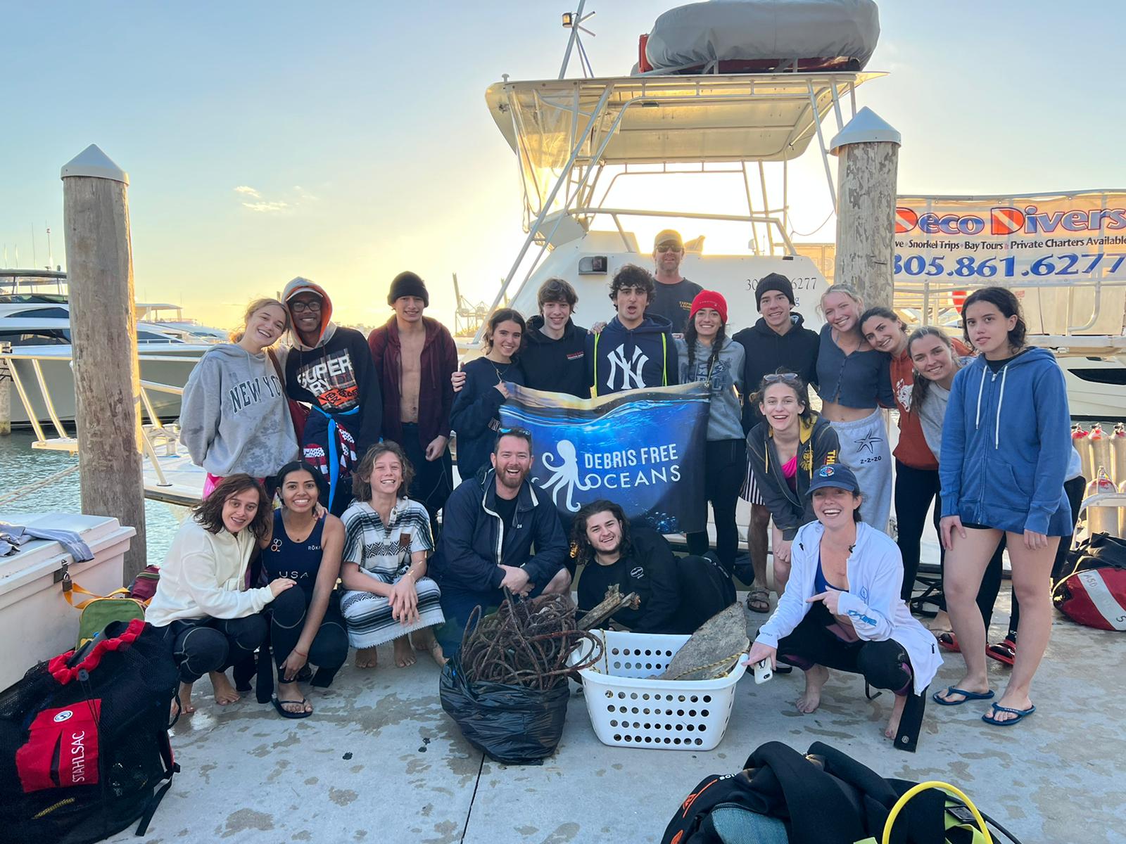
Deco Divers/Tarpoon Lagoon
Maddie Kaufman
15
11.00
45
30.00
15.00
7
measured
10000.00
On
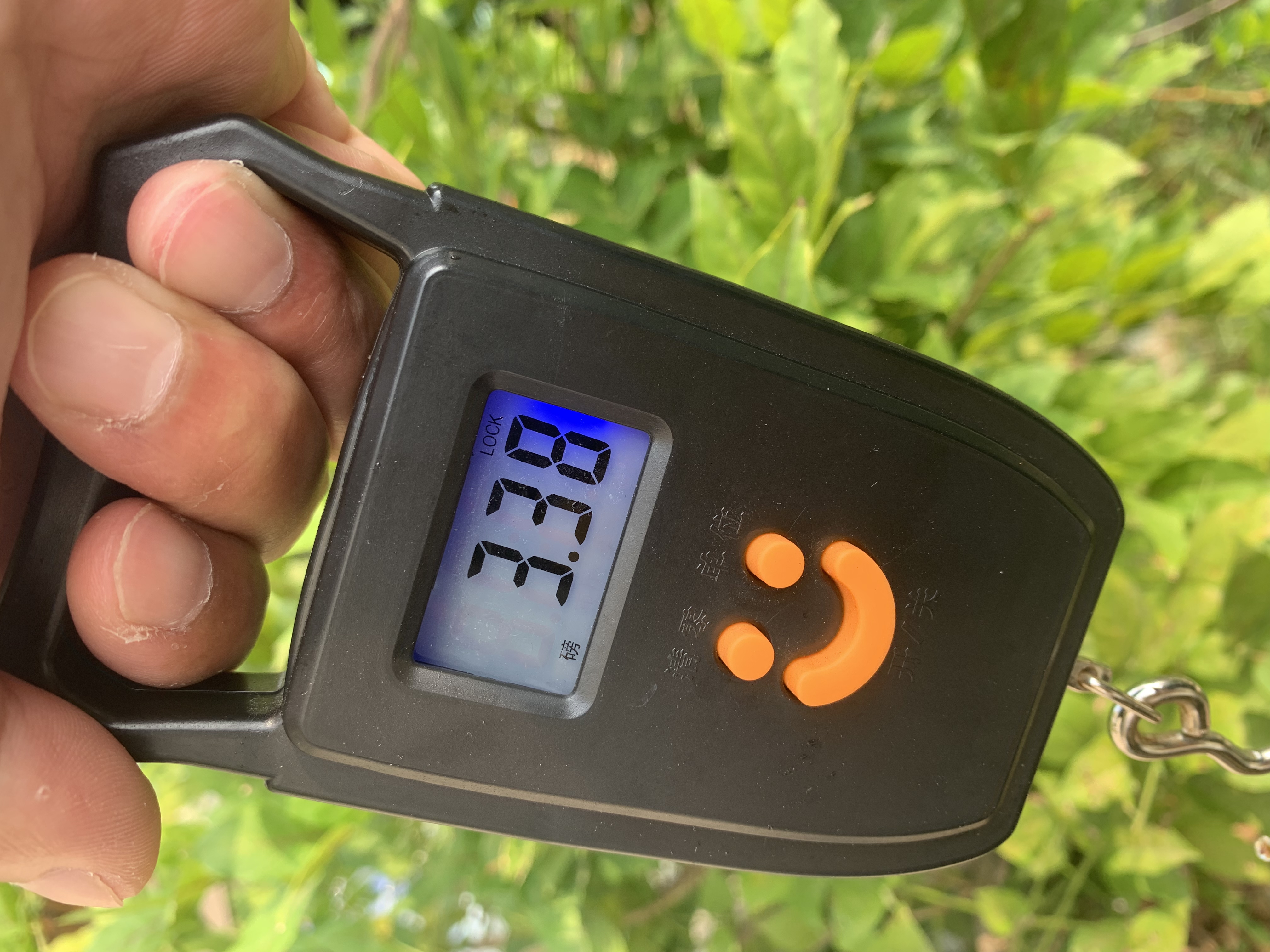
pounds
I have debris data to report
2
Slight for waves 0.5 -1.25 meter high ft2
feet
coral reef
1
1
United States
State\Province
Florida
City
Miami
Map Help


Dive Location

If you know your survey site coordinates, enter them manually in decimal degrees using WGS84 Map Datum. Use the minus sign for latitudes south of the equator and longitudes west of the Prime Meridian to 180 degrees.

If you do not know your survey site coordinates, click the “Map Location” tab to use the map to zoom into your survey site and drop the pin on the map to fall within your survey dive site in the water (not on land or the beach). Ensure you zoom in as much as possible to ensure data accuracy.

Entangled Help


Use the vertical tabs below to record any entangled animals you found of each type.

Car Frame Reef

1

25.73805, -80.098833

coral
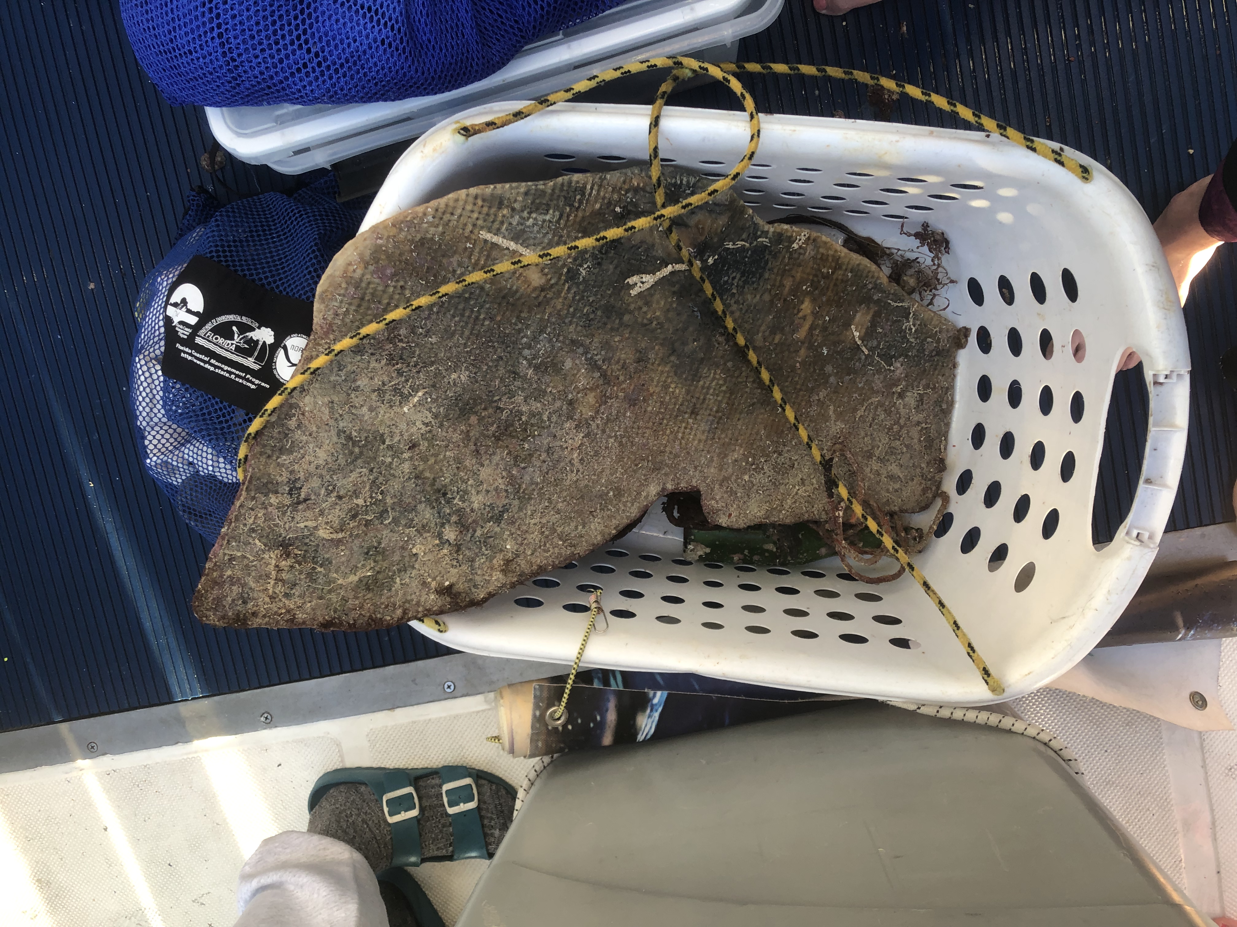
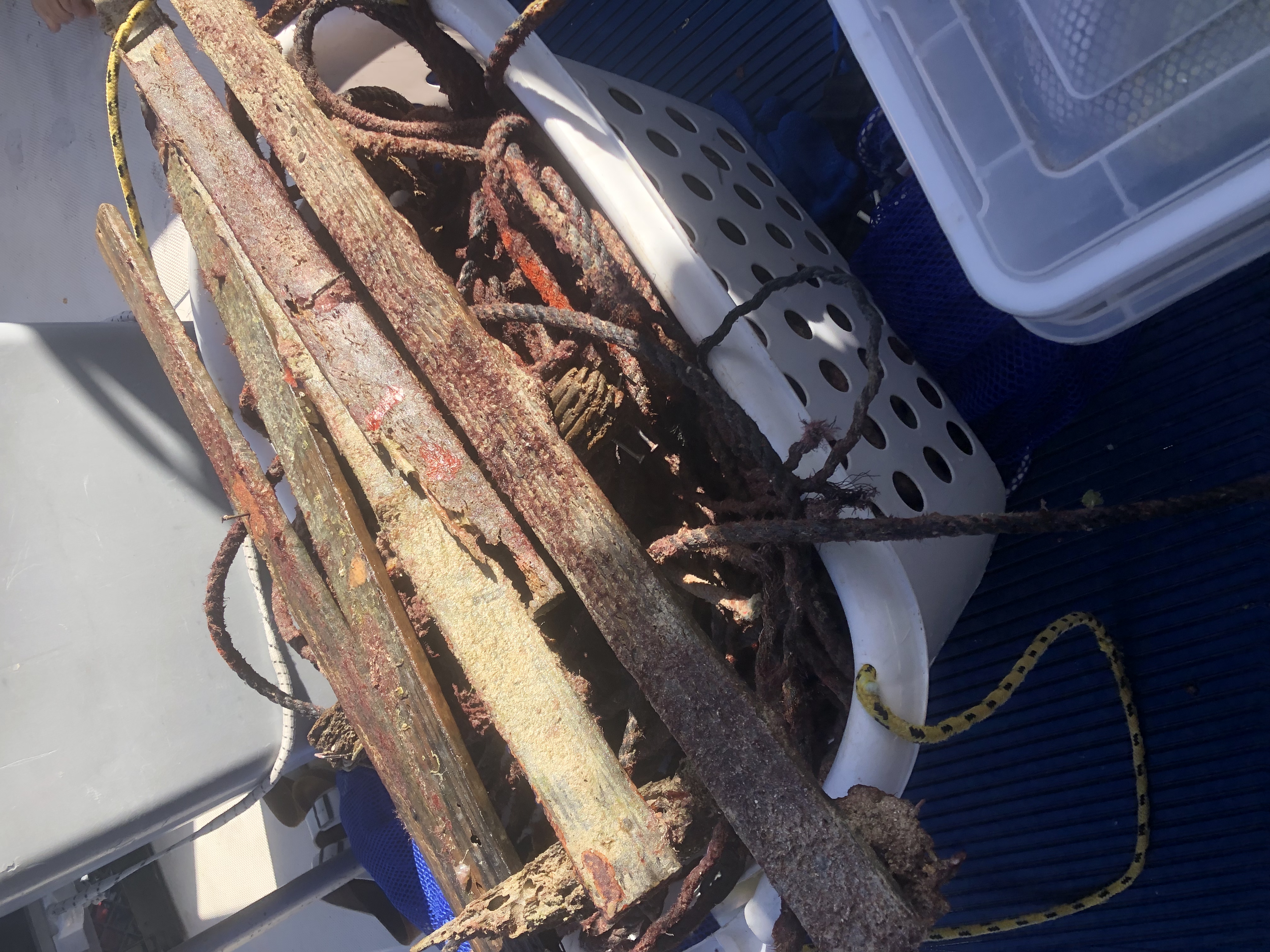
lobster trap line
windy
Deco Divers/Tarpoon Lagoon
Maddie Kaufman
1
15
33.00
45
30.00
20.00
5
measured
10000.00
trap line
On
pounds
I have debris data to report
Slight for waves 0.5 -1.25 meter high
8
ft2
feet
coral reef
United States
State\Province
Florida
City
Miami
Map Help


Dive Location

If you know your survey site coordinates, enter them manually in decimal degrees using WGS84 Map Datum. Use the minus sign for latitudes south of the equator and longitudes west of the Prime Meridian to 180 degrees.

If you do not know your survey site coordinates, click the “Map Location” tab to use the map to zoom into your survey site and drop the pin on the map to fall within your survey dive site in the water (not on land or the beach). Ensure you zoom in as much as possible to ensure data accuracy.
Entangled Help


Use the vertical tabs below to record any entangled animals you found of each type.

Mala Pier

20.885766, -156.687322

sand
Sailboat sunk
Maui Diving
Nichole
3
7
5.00
41
29.00
15.00
estimated
900.00
On
pounds
I have debris data to report
Smooth (wavelets) for waves 0.1 - 0.5 meter high
1
ft2
feet
coral reef
5
United States
State\Province
Hawaii
City
Lahaina
Map Help


Dive Location

If you know your survey site coordinates, enter them manually in decimal degrees using WGS84 Map Datum. Use the minus sign for latitudes south of the equator and longitudes west of the Prime Meridian to 180 degrees.

If you do not know your survey site coordinates, click the “Map Location” tab to use the map to zoom into your survey site and drop the pin on the map to fall within your survey dive site in the water (not on land or the beach). Ensure you zoom in as much as possible to ensure data accuracy.
Entangled Help


Use the vertical tabs below to record any entangled animals you found of each type.

Japanese Gardens, Koh Tao

1
coral
2

10.118944349685, 99.81456980471

The Coral Tribe
Jennifer Dowling
2
6.00
47
10.00
5.00
5
estimated
40.00
On
kilograms
I have debris data to report
Smooth (wavelets) for waves 0.1 - 0.5 meter high
2
m2
27
meters
coral reef
Thailand
State\Province
Surat Thani
City
Koh Tao
Map Help


Dive Location

If you know your survey site coordinates, enter them manually in decimal degrees using WGS84 Map Datum. Use the minus sign for latitudes south of the equator and longitudes west of the Prime Meridian to 180 degrees.

If you do not know your survey site coordinates, click the “Map Location” tab to use the map to zoom into your survey site and drop the pin on the map to fall within your survey dive site in the water (not on land or the beach). Ensure you zoom in as much as possible to ensure data accuracy.

Entangled Help


Use the vertical tabs below to record any entangled animals you found of each type.

ADS575 - Red Slave

13
1

12.02636, -68.251795

coral
1
AB-Dive
Dewi
4
25
13
2.00
45
20.00
9.00
measured
308.00
On
kilograms
I have debris data to report
Smooth (wavelets) for waves 0.1 - 0.5 meter high m2
2
meters
coral reef
Netherlands Antilles
State\Province
Bonaire
City
Kralendijk
Map Help


Dive Location

If you know your survey site coordinates, enter them manually in decimal degrees using WGS84 Map Datum. Use the minus sign for latitudes south of the equator and longitudes west of the Prime Meridian to 180 degrees.

If you do not know your survey site coordinates, click the “Map Location” tab to use the map to zoom into your survey site and drop the pin on the map to fall within your survey dive site in the water (not on land or the beach). Ensure you zoom in as much as possible to ensure data accuracy.

Entangled Help


Use the vertical tabs below to record any entangled animals you found of each type.

Antons Reef 2 Mile

sand

-27.539823, 32.6782506

Calm Flat Seas
Sodwana Bay Lodge Scuba Centre
Chenay Roodt
2
0.50
60
16.00
14.00
estimated
20.00
On
kilograms
I have debris data to report
1
Calm (glassy to rippled) for waves 0 – 0.1 meter high m2
meters
coral reef
South Africa
City
Sodwana Bay
Map Help


Dive Location

If you know your survey site coordinates, enter them manually in decimal degrees using WGS84 Map Datum. Use the minus sign for latitudes south of the equator and longitudes west of the Prime Meridian to 180 degrees.

If you do not know your survey site coordinates, click the “Map Location” tab to use the map to zoom into your survey site and drop the pin on the map to fall within your survey dive site in the water (not on land or the beach). Ensure you zoom in as much as possible to ensure data accuracy.

Entangled Help


Use the vertical tabs below to record any entangled animals you found of each type.

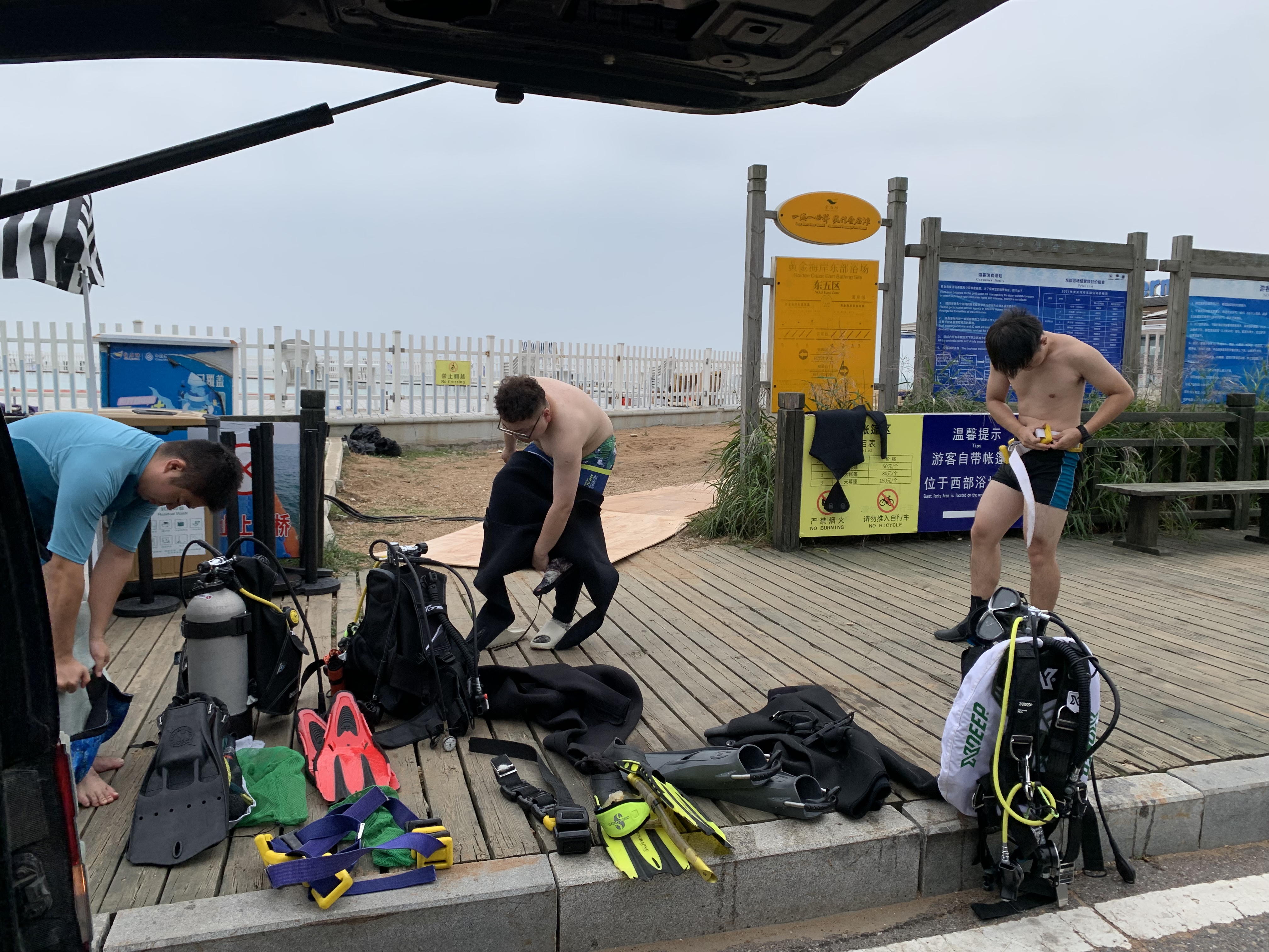
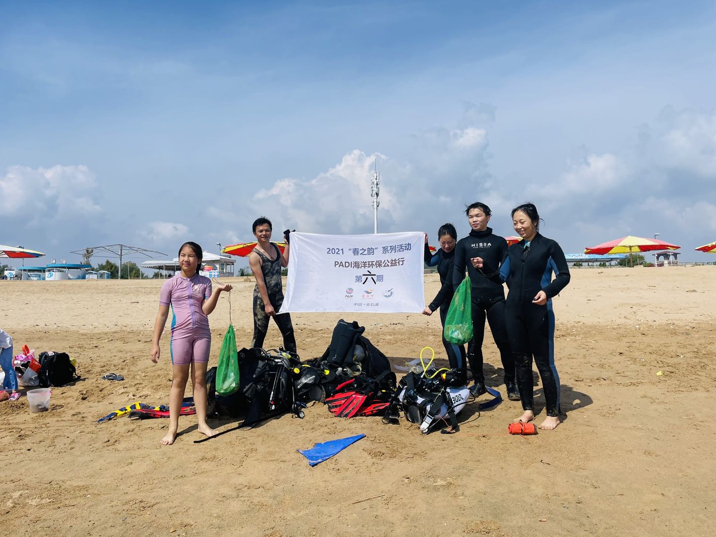
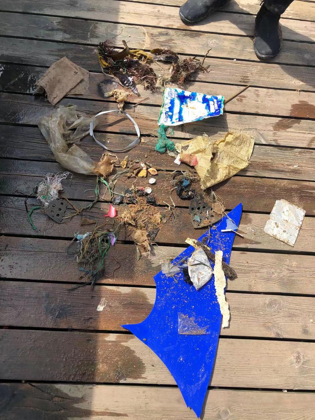
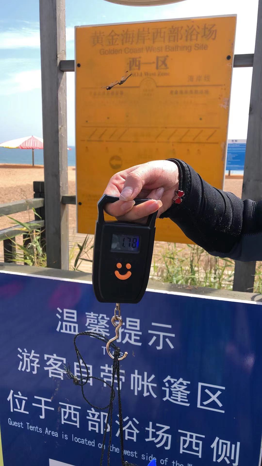
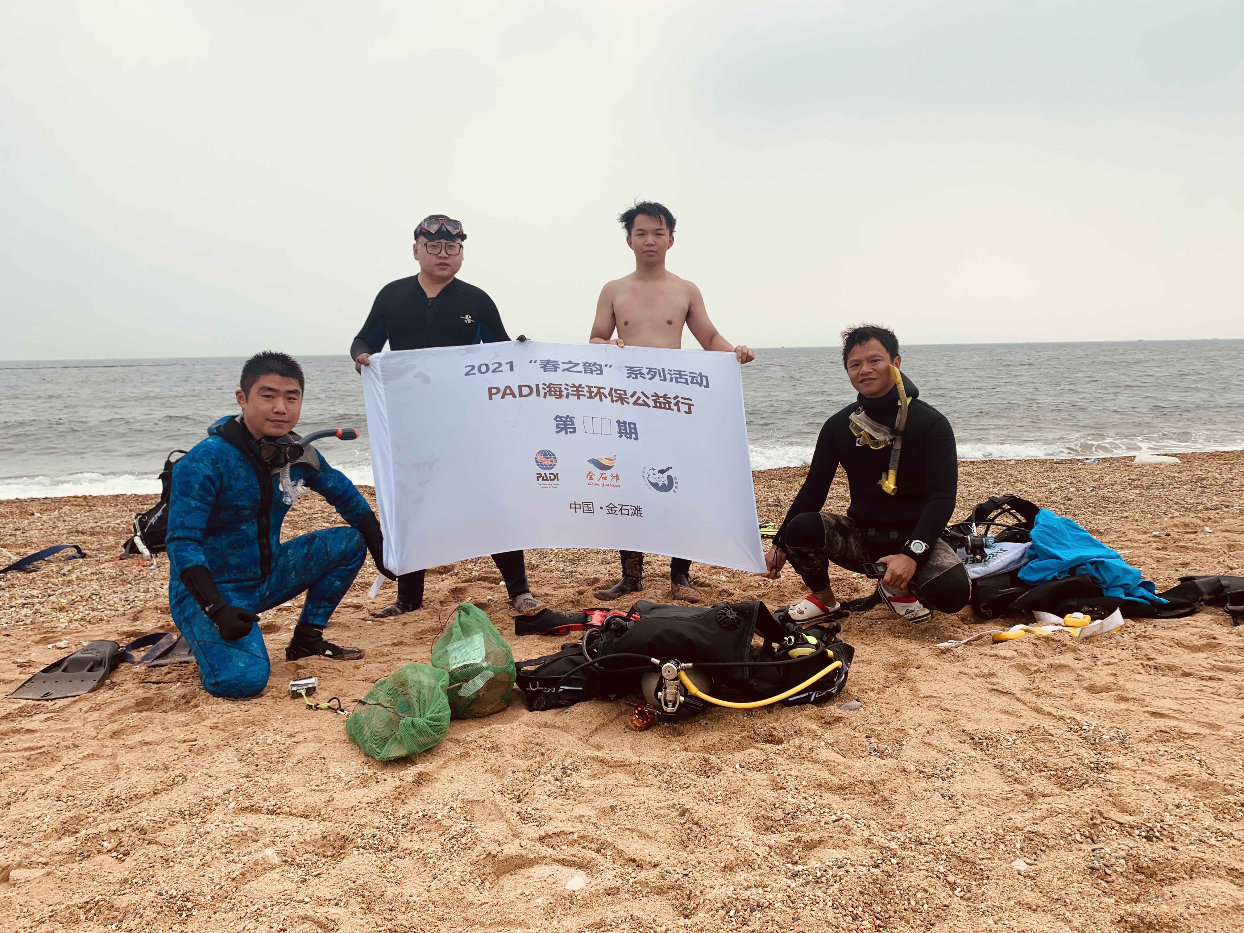
2021.09.18 DAD events of Jinshitan bech of west zone 1 (Close to the helicopter base)

1
sand
1

39.066370002032, 122.00477323224

Bloventure
Damon Liu
3
1
1
5
3
1.78
45
6.00
2.00
estimated
1
100.00
On
kilograms
I have debris data to report
Smooth (wavelets) for waves 0.1 - 0.5 meter high m2
meters
other
China
State\Province
LIAONING
City
DALIAN
Map Help


Dive Location

If you know your survey site coordinates, enter them manually in decimal degrees using WGS84 Map Datum. Use the minus sign for latitudes south of the equator and longitudes west of the Prime Meridian to 180 degrees.

If you do not know your survey site coordinates, click the “Map Location” tab to use the map to zoom into your survey site and drop the pin on the map to fall within your survey dive site in the water (not on land or the beach). Ensure you zoom in as much as possible to ensure data accuracy.
Entangled Help


Use the vertical tabs below to record any entangled animals you found of each type.

Ecosystem Other
sand

2021.09.11 DAD events of Jinshitan bech of East zone 5 (Fonrt of Hard rock hotel))

3
1
sand
3

39.060586933501, 121.9877445613

colud, no sun
Bloventure
Damon Liu
1
4
2
5.86
55
6.00
2.00
measured
100.00
On
kilograms
I have debris data to report
Smooth (wavelets) for waves 0.1 - 0.5 meter high m2
meters
other
China
State\Province
LIAONING
City
DALIAN
Map Help


Dive Location

If you know your survey site coordinates, enter them manually in decimal degrees using WGS84 Map Datum. Use the minus sign for latitudes south of the equator and longitudes west of the Prime Meridian to 180 degrees.

If you do not know your survey site coordinates, click the “Map Location” tab to use the map to zoom into your survey site and drop the pin on the map to fall within your survey dive site in the water (not on land or the beach). Ensure you zoom in as much as possible to ensure data accuracy.
Entangled Help


Use the vertical tabs below to record any entangled animals you found of each type.

Ecosystem Other
sand

Welling Car Wreck, Negambo

3

7.14464, 79.48162

sand
Ghost nets accumulated over a period of time
Intermittent rain in the evenings
Sri Lanka Sub Aqua Club
Hiran Samarasinghe
20
8.00
37
23.20
18.00
estimated
30.00
On
kilograms
I have debris data to report
Smooth (wavelets) for waves 0.1 - 0.5 meter high
Released Unharmed
Reef fish
2
None
0
m2
meters
other
Sri Lanka
State\Province
Western
City
Negambo
Map Help


Dive Location

If you know your survey site coordinates, enter them manually in decimal degrees using WGS84 Map Datum. Use the minus sign for latitudes south of the equator and longitudes west of the Prime Meridian to 180 degrees.

If you do not know your survey site coordinates, click the “Map Location” tab to use the map to zoom into your survey site and drop the pin on the map to fall within your survey dive site in the water (not on land or the beach). Ensure you zoom in as much as possible to ensure data accuracy.
Entangled Help


Use the vertical tabs below to record any entangled animals you found of each type.

Ecosystem Other
Wreck

USCGC Duane

24.9898, -80.38146

other
Florida Keys Dive Center
Lanna
2
0.00
25
100.00
65.00
estimated
50.00
On
pounds
Our Survey Site was free of debris
Smooth (wavelets) for waves 0.1 - 0.5 meter high ft2
feet
other
United States
State\Province
FL
City
Tavernier
Map Help


Dive Location

If you know your survey site coordinates, enter them manually in decimal degrees using WGS84 Map Datum. Use the minus sign for latitudes south of the equator and longitudes west of the Prime Meridian to 180 degrees.

If you do not know your survey site coordinates, click the “Map Location” tab to use the map to zoom into your survey site and drop the pin on the map to fall within your survey dive site in the water (not on land or the beach). Ensure you zoom in as much as possible to ensure data accuracy.
Entangled Help


Use the vertical tabs below to record any entangled animals you found of each type.

Ecosystem Other
Wreck/Artificial Reed
Dominant Substrate Other
Wreck
Subscribe to