Menu

Padangbai - Mushroom Point - Turtle's neck

3

-8.528022, 115.513902

rock
2
33
AquaMarine Diving - Bali
Bramanta Candra Wijaya
1
1
1
9
2
6.50
60
18.00
6.00
measured
22
136.69
On
kilograms
I have debris data to report
Calm (glassy to rippled) for waves 0 – 0.1 meter high
1
m2
1
meters
coral reef
Indonesia
State\Province
Bali
City
Denpasar
Map Help


Dive Location

If you know your survey site coordinates, enter them manually in decimal degrees using WGS84 Map Datum. Use the minus sign for latitudes south of the equator and longitudes west of the Prime Meridian to 180 degrees.

If you do not know your survey site coordinates, click the “Map Location” tab to use the map to zoom into your survey site and drop the pin on the map to fall within your survey dive site in the water (not on land or the beach). Ensure you zoom in as much as possible to ensure data accuracy.

Entangled Help


Use the vertical tabs below to record any entangled animals you found of each type.

Cultus Lake

1
12
1
silt

49.054962984615, -121.97304141452

no
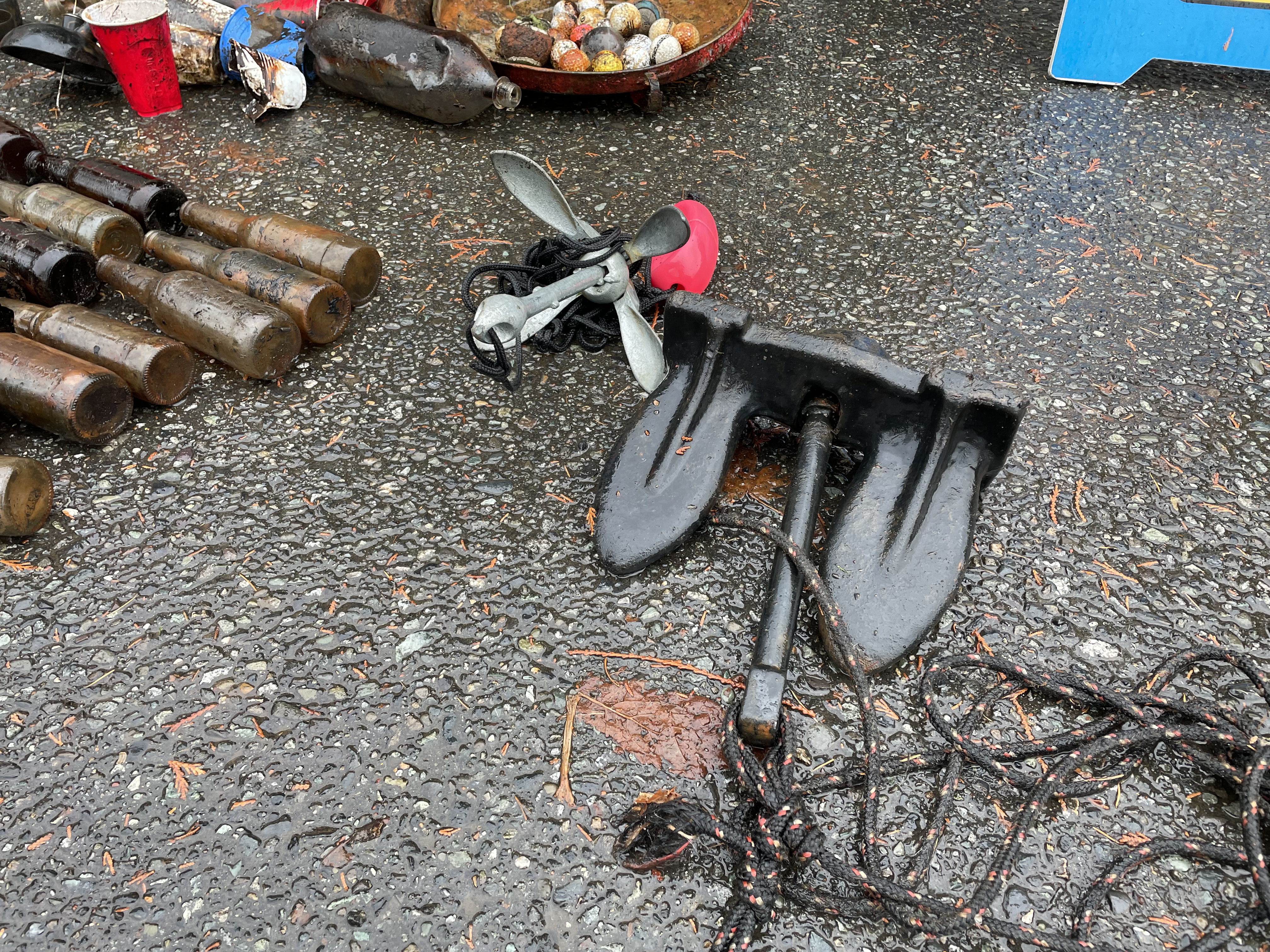
anchors
rain
3
2
2
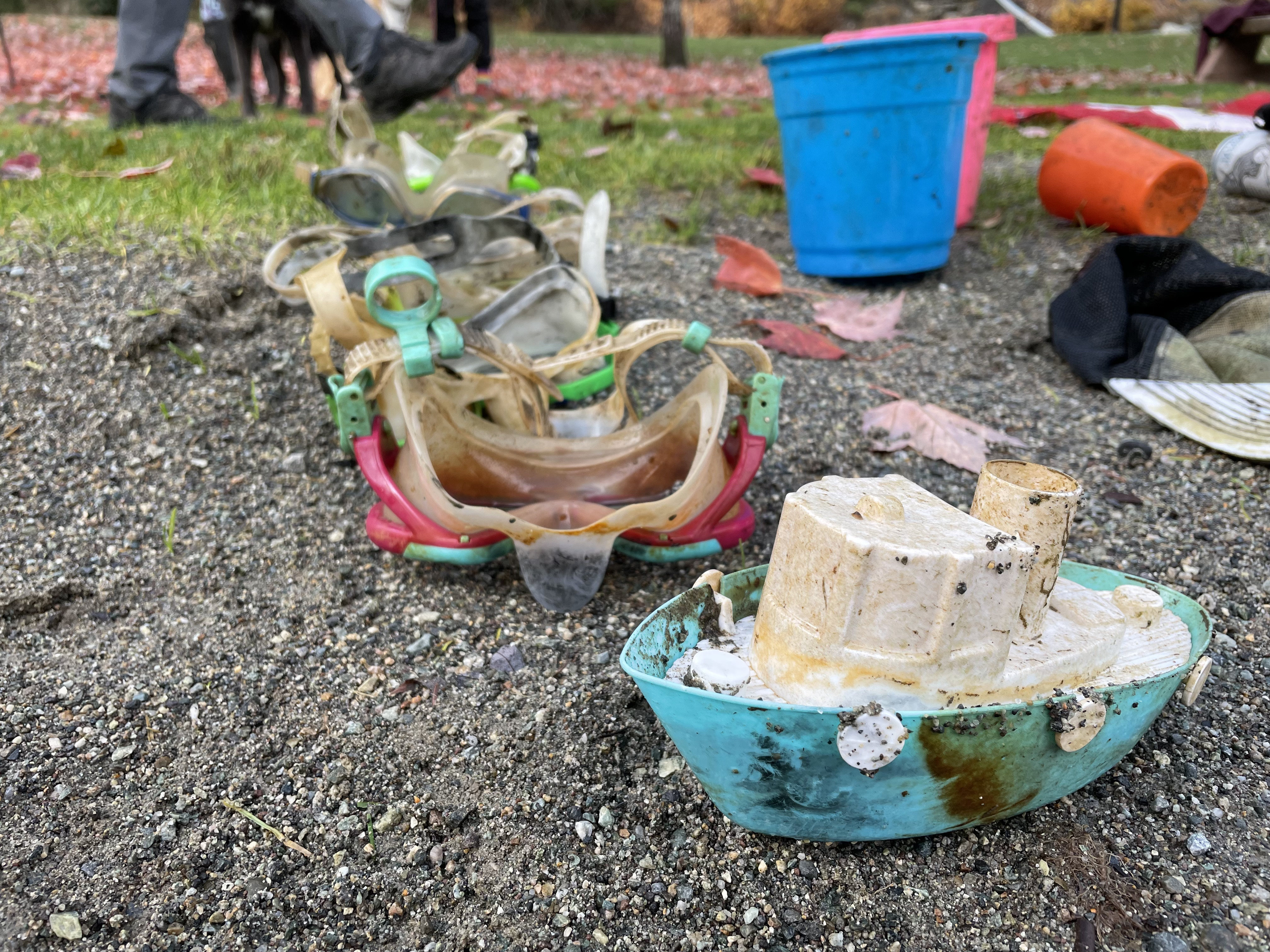
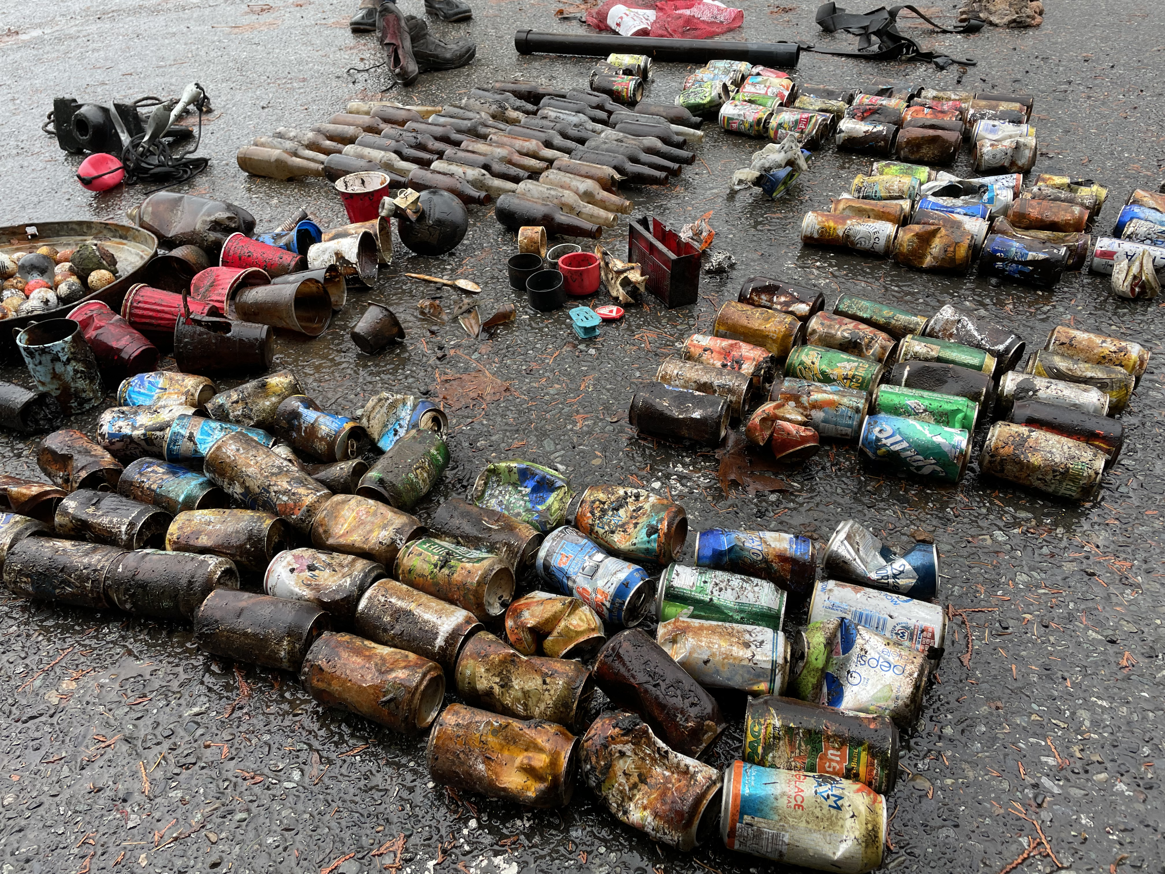
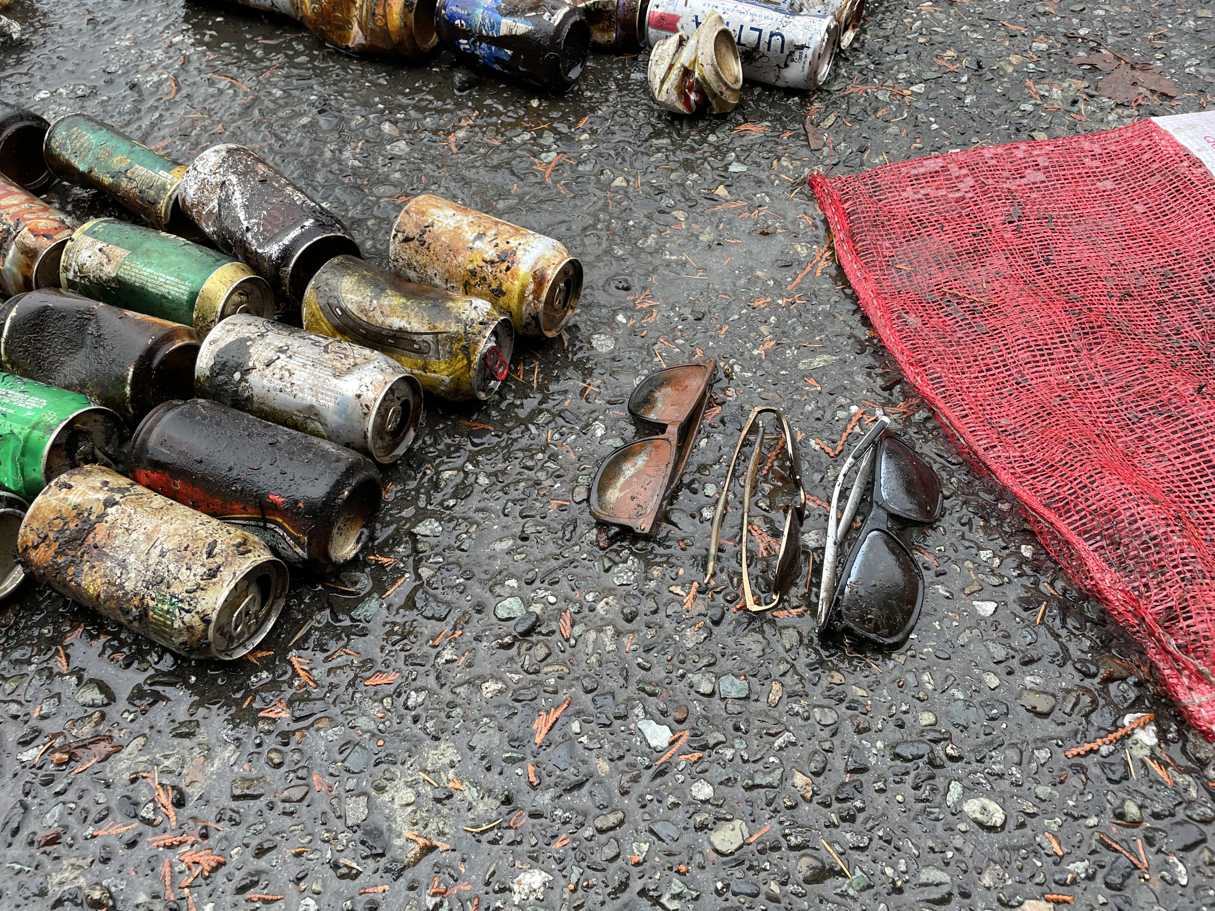
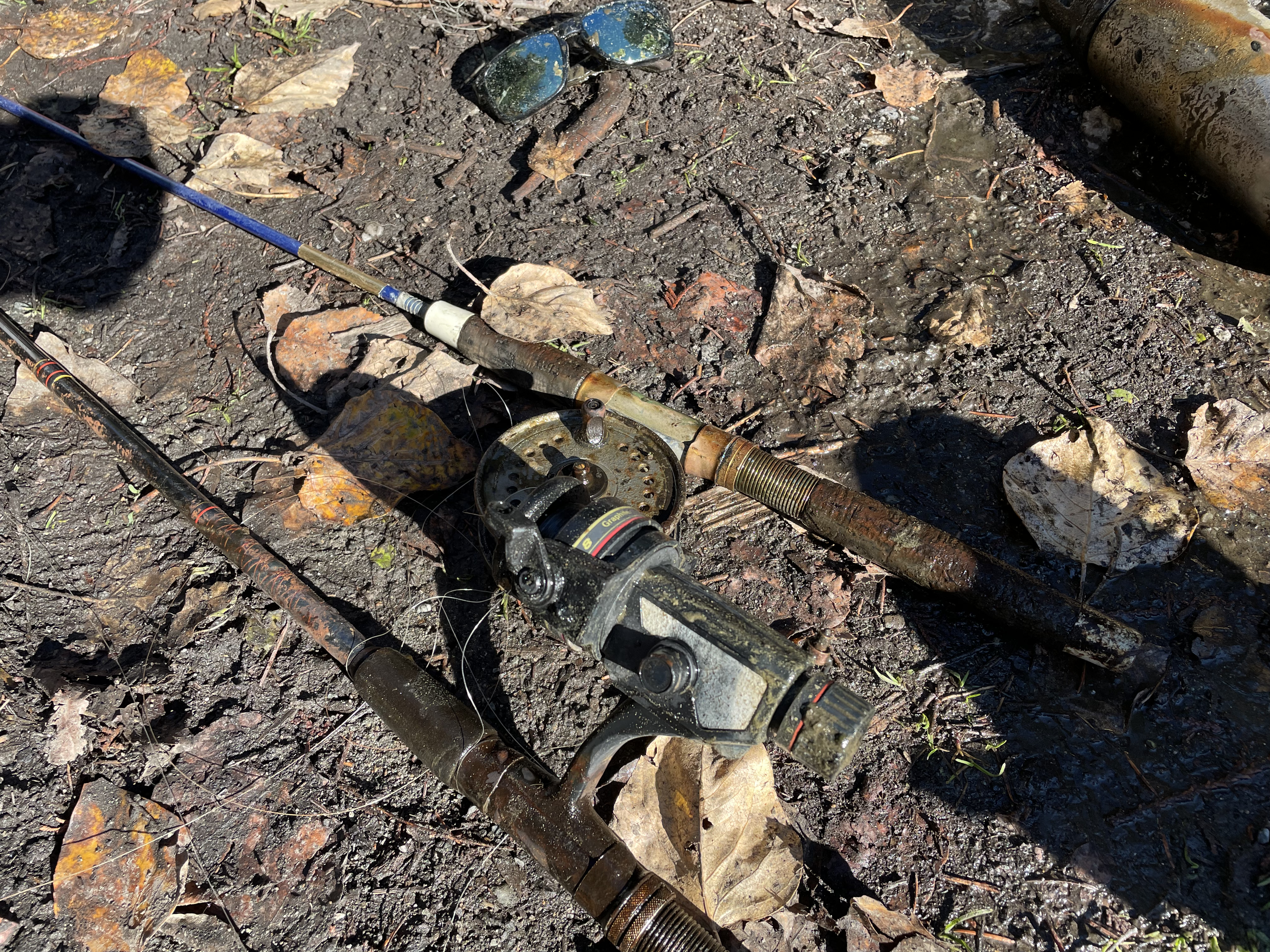
sunglasses
anchor
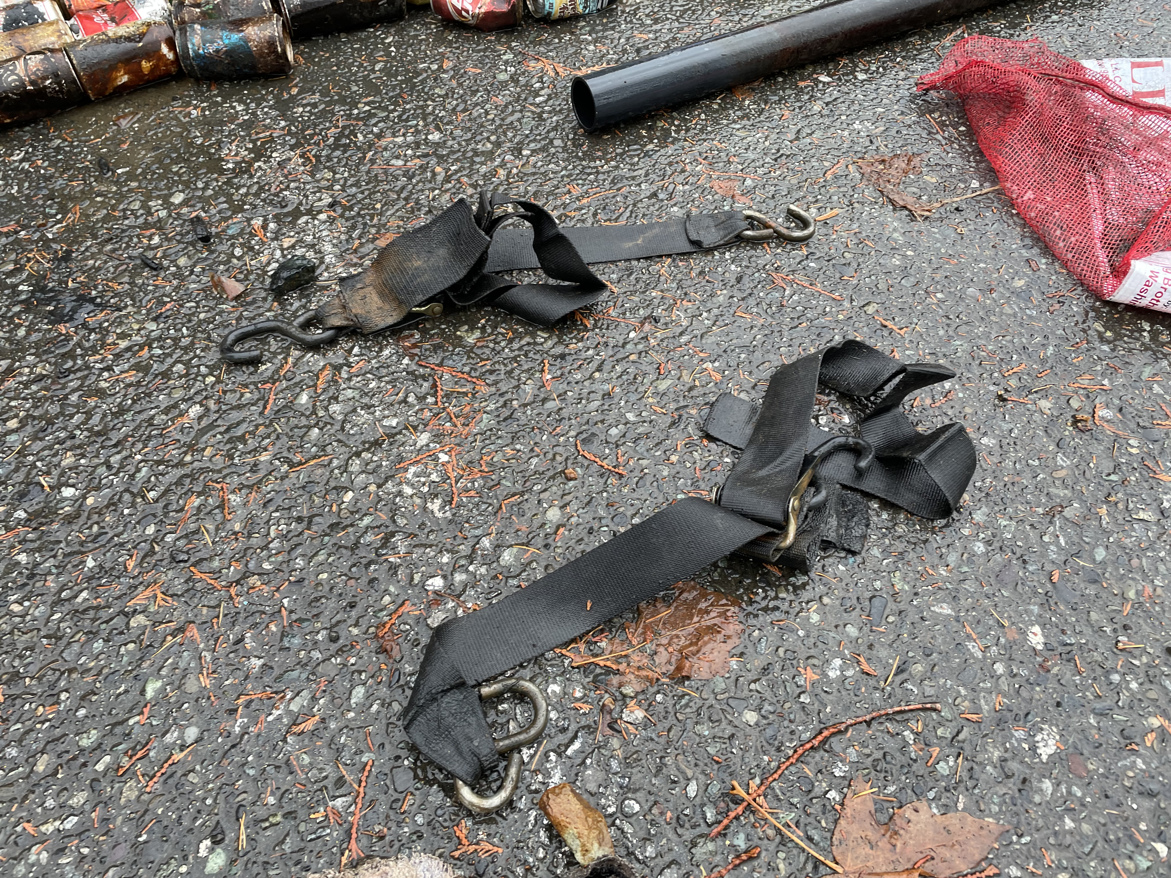
ratchet straps
Divers for Cleaner Lakes and Oceans
Henry Wang
15
1
3
1
25
118.90
44
90.00
3.00
measured
656.00
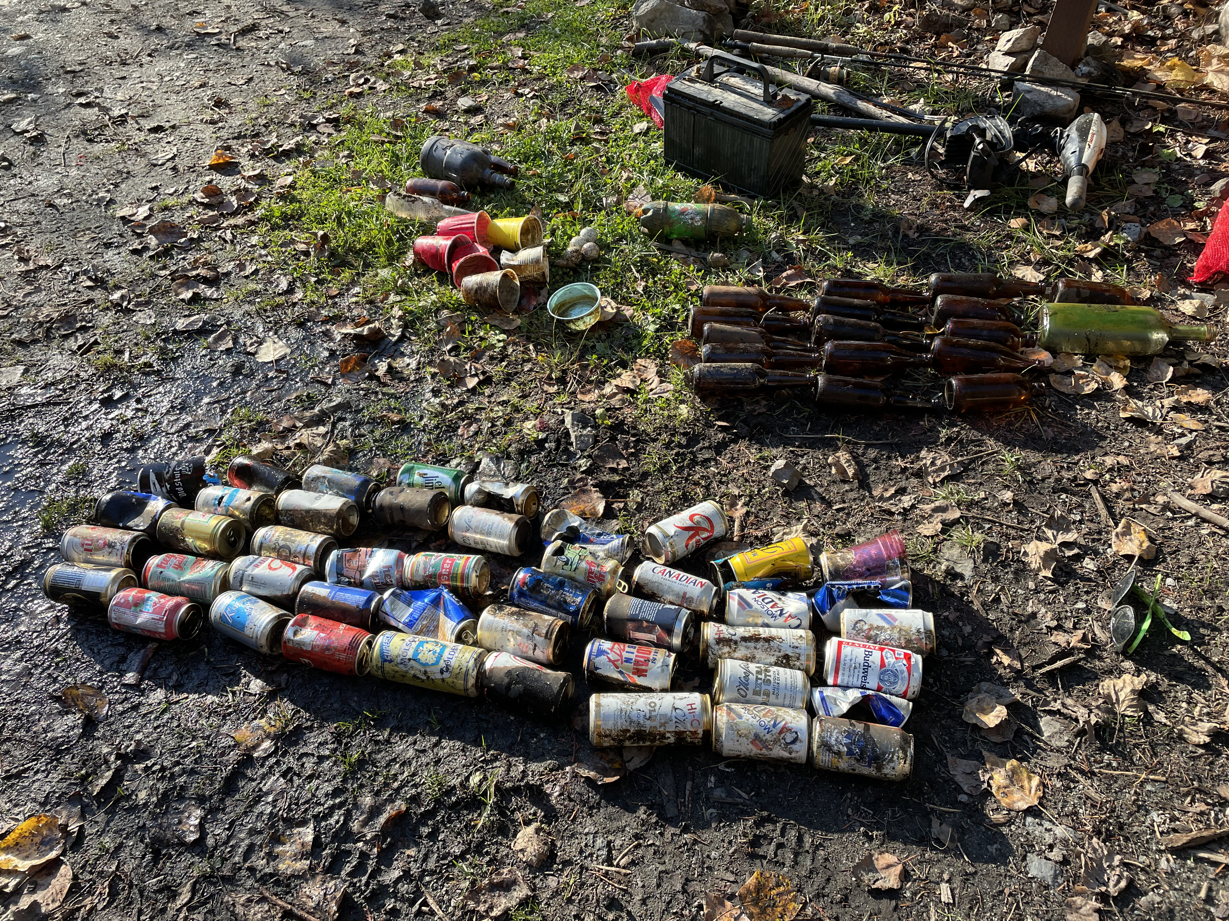
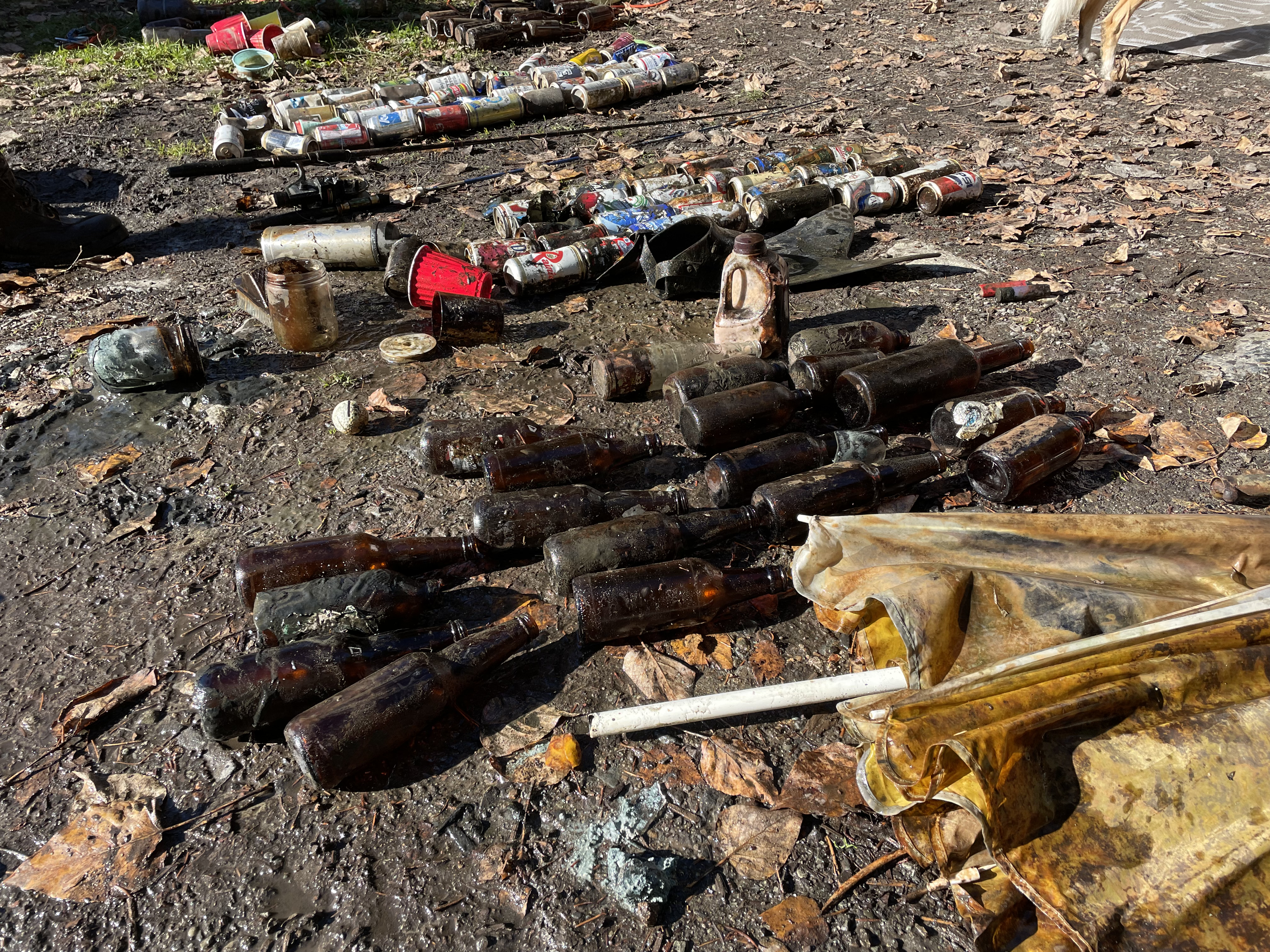
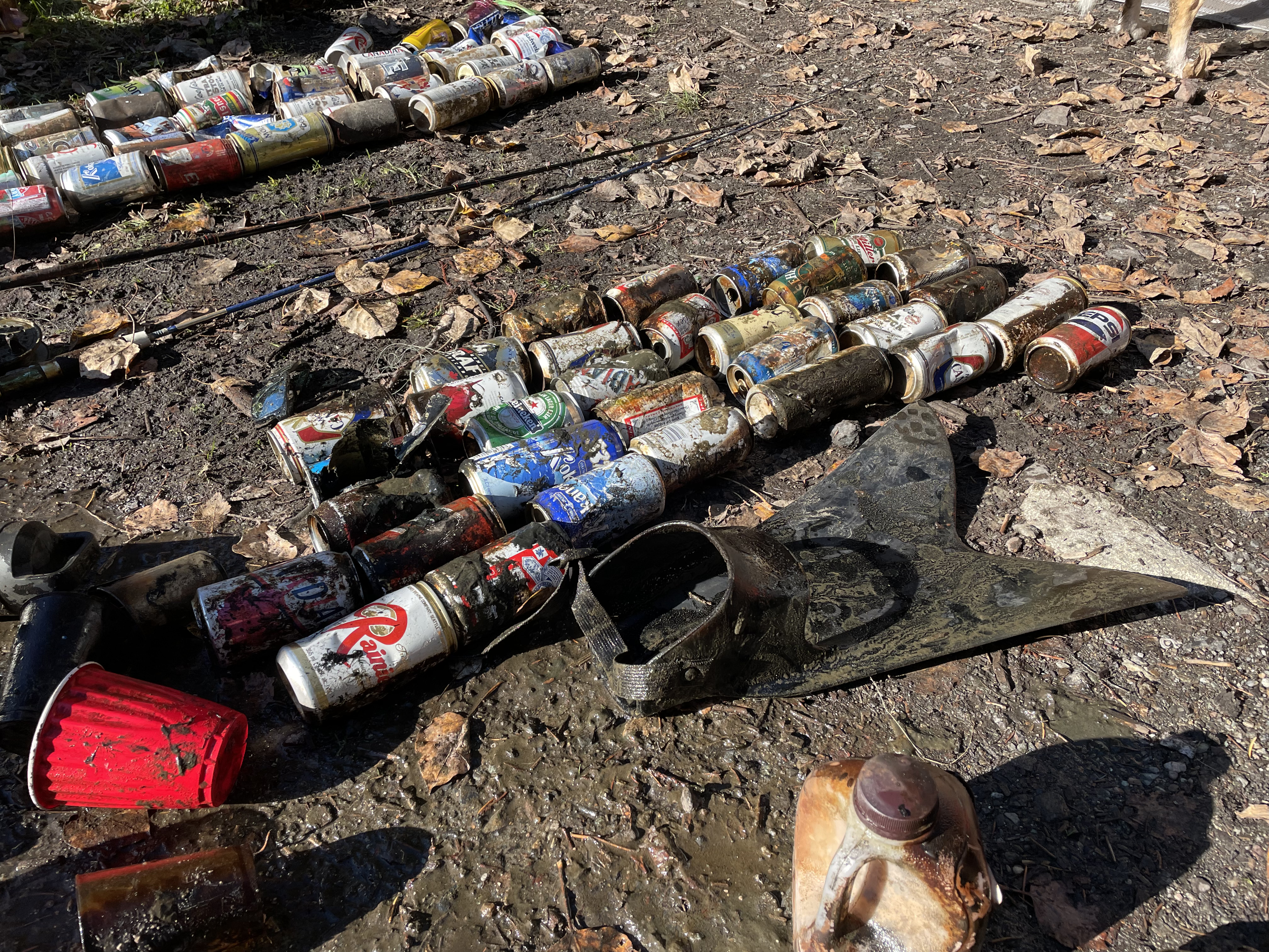
beer cans
bottles
On
pounds
I have debris data to report
37
Calm (glassy to rippled) for waves 0 – 0.1 meter high
2
ft2
feet
other
3
1
1
114
15
Canada
State\Province
British Columbia
City
North Vancouver
Map Help


Dive Location

If you know your survey site coordinates, enter them manually in decimal degrees using WGS84 Map Datum. Use the minus sign for latitudes south of the equator and longitudes west of the Prime Meridian to 180 degrees.

If you do not know your survey site coordinates, click the “Map Location” tab to use the map to zoom into your survey site and drop the pin on the map to fall within your survey dive site in the water (not on land or the beach). Ensure you zoom in as much as possible to ensure data accuracy.
Entangled Help


Use the vertical tabs below to record any entangled animals you found of each type.

Ecosystem Other
silt

Blackwater Lake

1
3
silt
2

50.561938011759, -122.58576303952

no
lawn chair
rain
1
1
1
sunglasses
lawn chair
beach umbrella
Divers for Cleaner Lakes and Oceans
Henry Wang
4
1
3
1
1
64.30
44
28.00
4.00
measured
272000.00
beer cans
bottles
On
pounds
I have debris data to report
19
Calm (glassy to rippled) for waves 0 – 0.1 meter high
1
ft2
feet
other
1
33
2
Canada
State\Province
British Columbia
City
North Vancouver
Map Help


Dive Location

If you know your survey site coordinates, enter them manually in decimal degrees using WGS84 Map Datum. Use the minus sign for latitudes south of the equator and longitudes west of the Prime Meridian to 180 degrees.

If you do not know your survey site coordinates, click the “Map Location” tab to use the map to zoom into your survey site and drop the pin on the map to fall within your survey dive site in the water (not on land or the beach). Ensure you zoom in as much as possible to ensure data accuracy.
Entangled Help


Use the vertical tabs below to record any entangled animals you found of each type.

Ecosystem Other
silt

Blackwater Lake

1
2
silt

50.562528016744, -122.58621218672

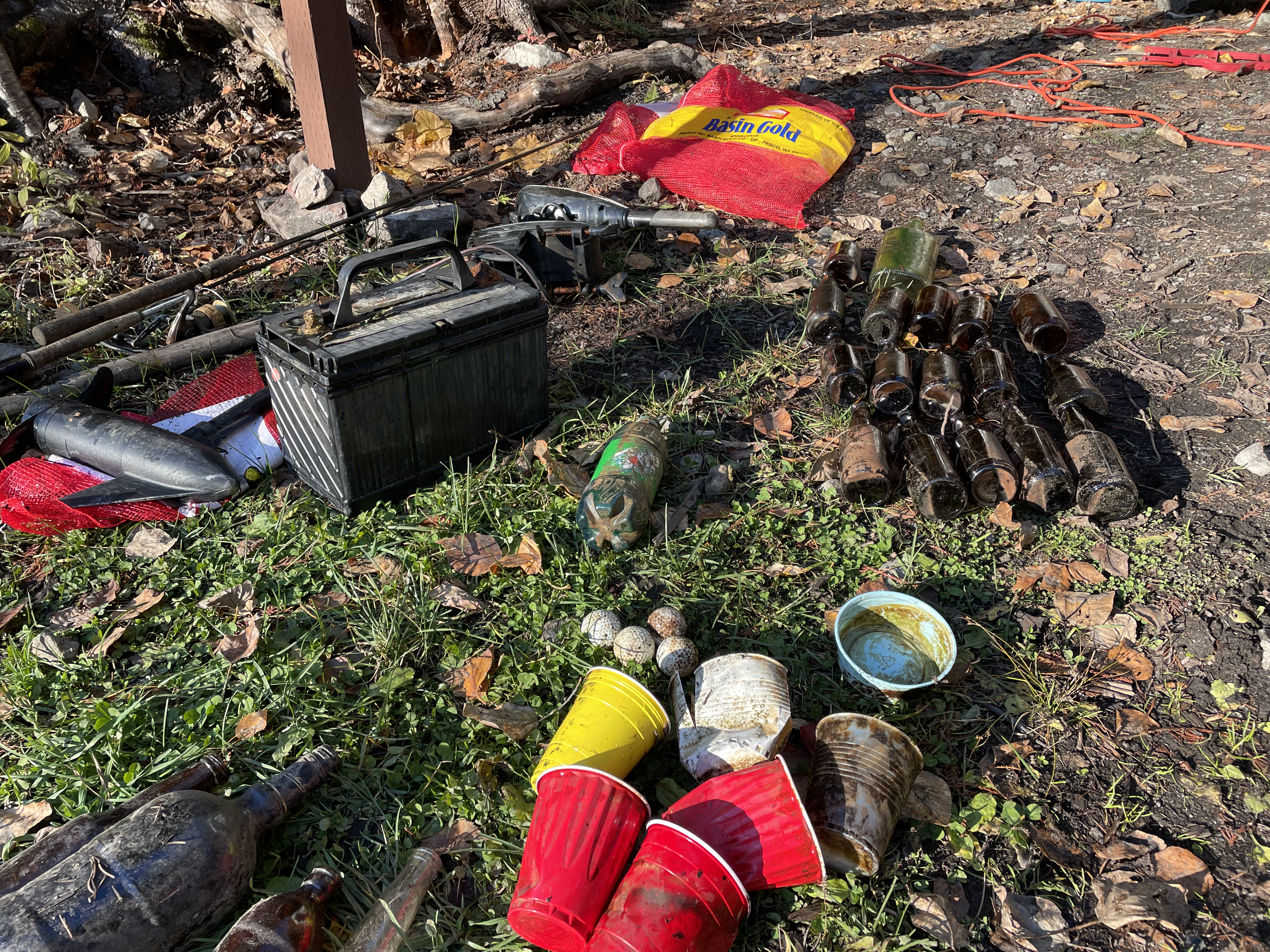
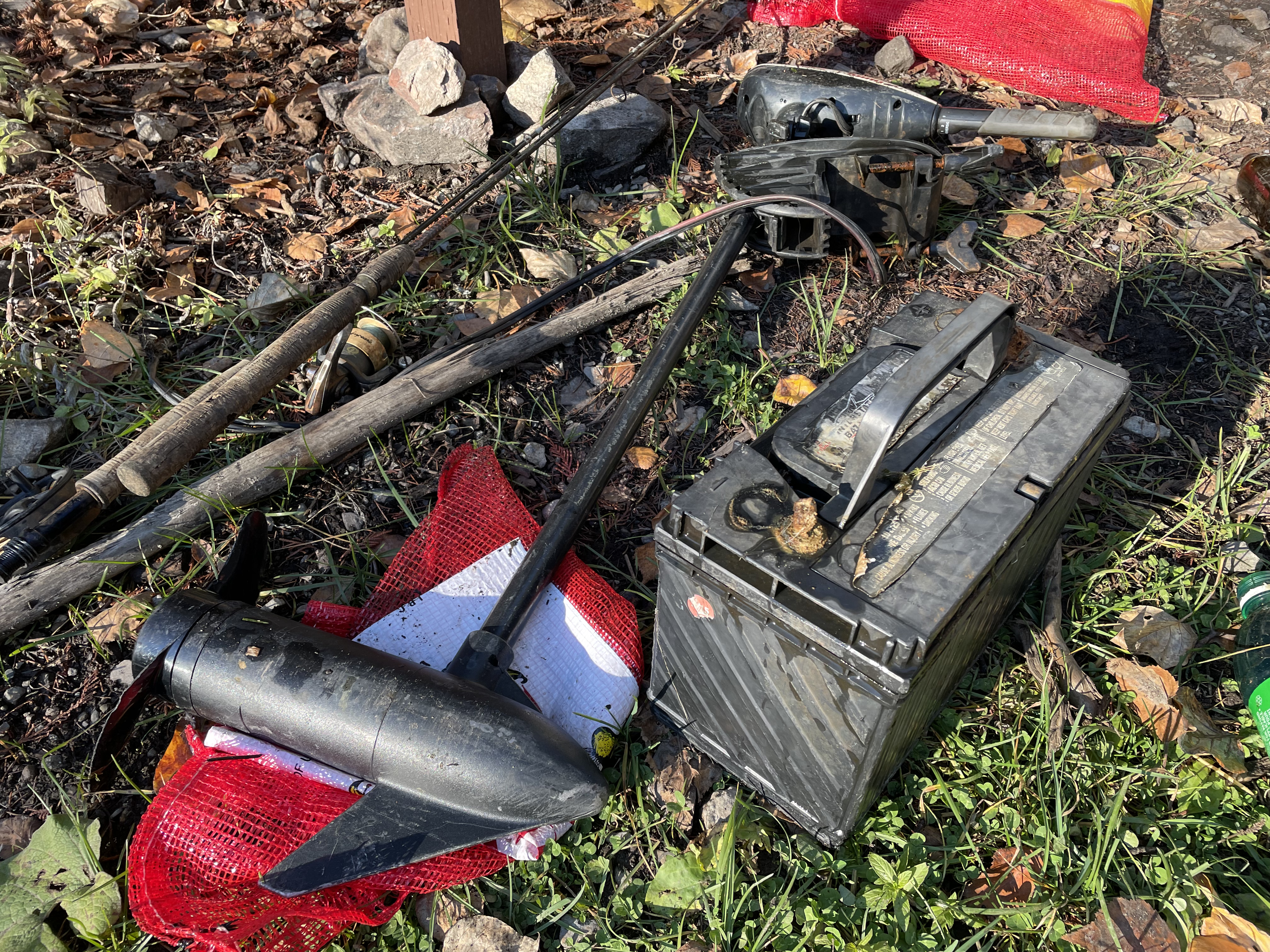
motor and battery
rain
1
1
sunglasses
electric boat motor
Divers for Cleaner Lakes and Oceans
Henry Wang
6
3
1
4
1
96.40
50
28.00
3.00
measured
272000.00
cans
bottles
On
pounds
I have debris data to report
17
Calm (glassy to rippled) for waves 0 – 0.1 meter high ft2
feet
other
44
Canada
State\Province
British Columbia
City
North Vancouver
Map Help


Dive Location

If you know your survey site coordinates, enter them manually in decimal degrees using WGS84 Map Datum. Use the minus sign for latitudes south of the equator and longitudes west of the Prime Meridian to 180 degrees.

If you do not know your survey site coordinates, click the “Map Location” tab to use the map to zoom into your survey site and drop the pin on the map to fall within your survey dive site in the water (not on land or the beach). Ensure you zoom in as much as possible to ensure data accuracy.

Entangled Help


Use the vertical tabs below to record any entangled animals you found of each type.

Ecosystem Other
silt

One Mile Lake

other
1

50.309669872703, -122.80672474172

rain
Divers For Cleaner Lakes and Oceans
Henry Wang
2
5
3
3
2
14.20
20
8.00
2.00
measured
1200.00
On
pounds
I have debris data to report
Calm (glassy to rippled) for waves 0 – 0.1 meter high ft2
feet
other
1
1
1
1
6
Canada
State\Province
British Columbia
City
North Vancouver
Map Help


Dive Location

If you know your survey site coordinates, enter them manually in decimal degrees using WGS84 Map Datum. Use the minus sign for latitudes south of the equator and longitudes west of the Prime Meridian to 180 degrees.

If you do not know your survey site coordinates, click the “Map Location” tab to use the map to zoom into your survey site and drop the pin on the map to fall within your survey dive site in the water (not on land or the beach). Ensure you zoom in as much as possible to ensure data accuracy.
Entangled Help


Use the vertical tabs below to record any entangled animals you found of each type.

Ecosystem Other
man made sand and weeds
Dominant Substrate Other
man made sand and weeds

ADS343 - Playa Lagun

12.31835, -69.150884

coral
5
Bahia Diving
Ana Kostadinova
2
9
1.00
60
16.00
2.00
estimated
100.00
1
On
kilograms
I have debris data to report
3
Calm (glassy to rippled) for waves 0 – 0.1 meter high
3
m2
meters
coral reef
6
5
Netherlands Antilles
City
Willemstad
Map Help


Dive Location

If you know your survey site coordinates, enter them manually in decimal degrees using WGS84 Map Datum. Use the minus sign for latitudes south of the equator and longitudes west of the Prime Meridian to 180 degrees.

If you do not know your survey site coordinates, click the “Map Location” tab to use the map to zoom into your survey site and drop the pin on the map to fall within your survey dive site in the water (not on land or the beach). Ensure you zoom in as much as possible to ensure data accuracy.
Entangled Help


Use the vertical tabs below to record any entangled animals you found of each type.

Psalidi Kos

11
6

36.887395, 27.332508

5
sand
8
20
6

36.8868197, 27.3327976

KOS DIVERS
KONSTANTINOS MARMARINOS
7
3
10
12
10
6
5
5
10
3
1
3
20.00
80
12.00
1.00
estimated
2000.00
2
On
kilograms
I have debris data to report
Calm (glassy to rippled) for waves 0 – 0.1 meter high m2
1
meters
seagrass
3
6
Greece
State\Province
Kos
City
Phalidi
Map Help


Dive Location

If you know your survey site coordinates, enter them manually in decimal degrees using WGS84 Map Datum. Use the minus sign for latitudes south of the equator and longitudes west of the Prime Meridian to 180 degrees.

If you do not know your survey site coordinates, click the “Map Location” tab to use the map to zoom into your survey site and drop the pin on the map to fall within your survey dive site in the water (not on land or the beach). Ensure you zoom in as much as possible to ensure data accuracy.
Entangled Help


Use the vertical tabs below to record any entangled animals you found of each type.

School of Diving

3
seagrass

37.6616174, 23.9982198

School of Diving
15
9
4
5
8
4
1
40.00
55
30.00
3.00
estimated
100.00
1
6
On
kilograms
Our Survey Site was free of debris
Smooth (wavelets) for waves 0.1 - 0.5 meter high m2
meters
rocky reef
27
Greece
State\Province
Attica
City
Attica
Map Help


Dive Location

If you know your survey site coordinates, enter them manually in decimal degrees using WGS84 Map Datum. Use the minus sign for latitudes south of the equator and longitudes west of the Prime Meridian to 180 degrees.

If you do not know your survey site coordinates, click the “Map Location” tab to use the map to zoom into your survey site and drop the pin on the map to fall within your survey dive site in the water (not on land or the beach). Ensure you zoom in as much as possible to ensure data accuracy.
Entangled Help


Use the vertical tabs below to record any entangled animals you found of each type.

Saint George South

50
20
sand
100
10

39.6242621, 19.9216777

Dive Inn Corfu
George Vlachos
300
2
10
2
3
28.00
26
12.00
1.00
estimated
2000.00
On
kilograms
Our Survey Site was free of debris
Slight for waves 0.5 -1.25 meter high m2
meters
rocky reef
1
Greece
State\Province
Corfu
City
Corfu
Map Help


Dive Location

If you know your survey site coordinates, enter them manually in decimal degrees using WGS84 Map Datum. Use the minus sign for latitudes south of the equator and longitudes west of the Prime Meridian to 180 degrees.

If you do not know your survey site coordinates, click the “Map Location” tab to use the map to zoom into your survey site and drop the pin on the map to fall within your survey dive site in the water (not on land or the beach). Ensure you zoom in as much as possible to ensure data accuracy.
Entangled Help


Use the vertical tabs below to record any entangled animals you found of each type.

iSea

1
sand

35.341290740696, 25.139757877204

Eco Diving Center
eco diving
1
1
1
1
9
1
1
1
1
25.00
95
6.00
1.00
1
estimated
98.00
On
kilograms
1
I have debris data to report
Calm (glassy to rippled) for waves 0 – 0.1 meter high m2
1
1
meters
rocky reef
1
1
1
Greece
State\Province
Crete
City
Heraklion
Map Help


Dive Location

If you know your survey site coordinates, enter them manually in decimal degrees using WGS84 Map Datum. Use the minus sign for latitudes south of the equator and longitudes west of the Prime Meridian to 180 degrees.

If you do not know your survey site coordinates, click the “Map Location” tab to use the map to zoom into your survey site and drop the pin on the map to fall within your survey dive site in the water (not on land or the beach). Ensure you zoom in as much as possible to ensure data accuracy.
Entangled Help


Use the vertical tabs below to record any entangled animals you found of each type.

Subscribe to