Hin Wong Bay (North)
1
16
other
1
10.101678378793, 99.85117453624
Ghost net was found in the first 5 minutes of our dive. Cut it into pieces and spent the whole dive trying to detangle the live corals from it. We had to leave a section of it that was tangled in rubble.
Fishing
we were not able to get all the net off the crabs
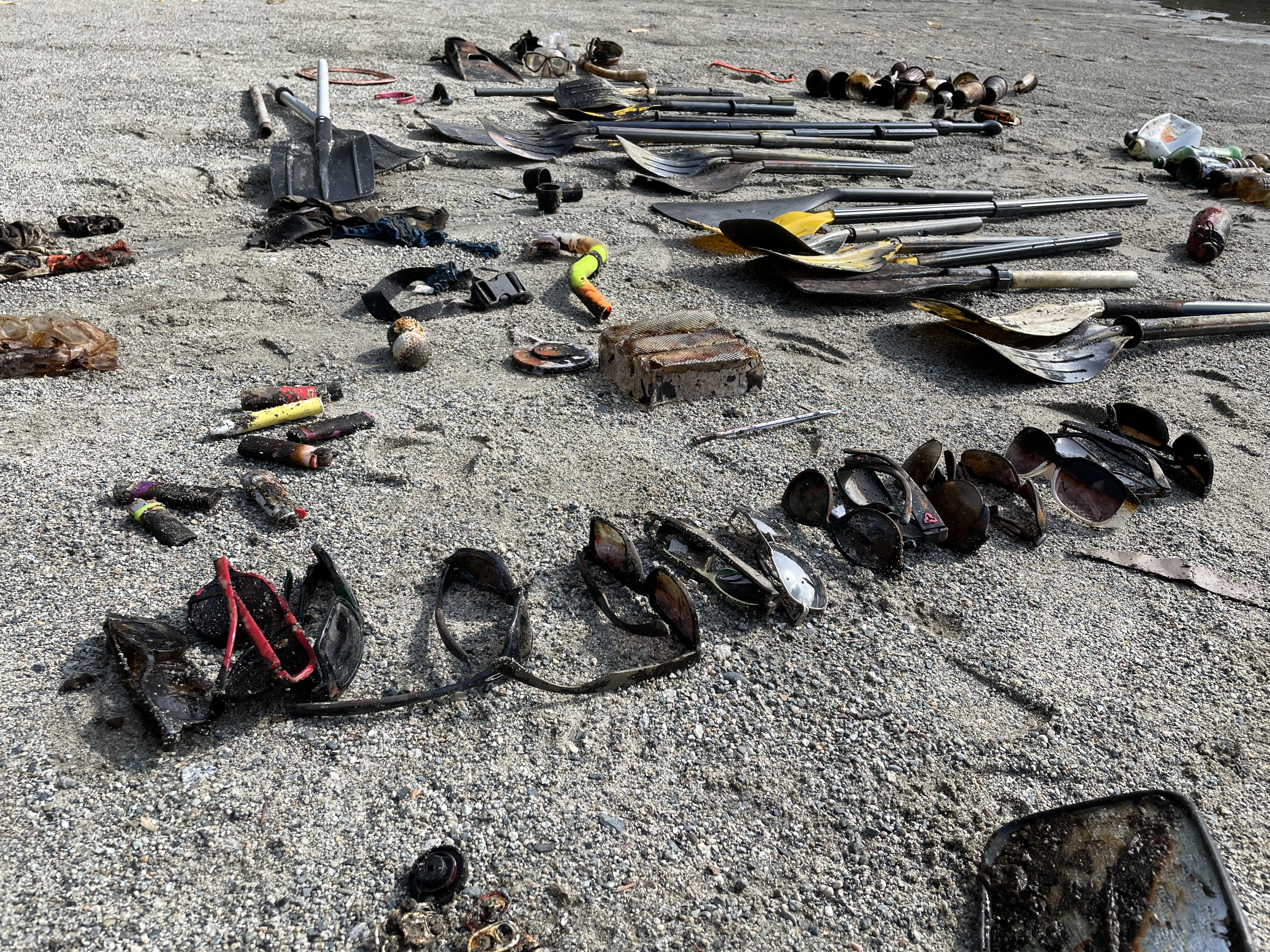
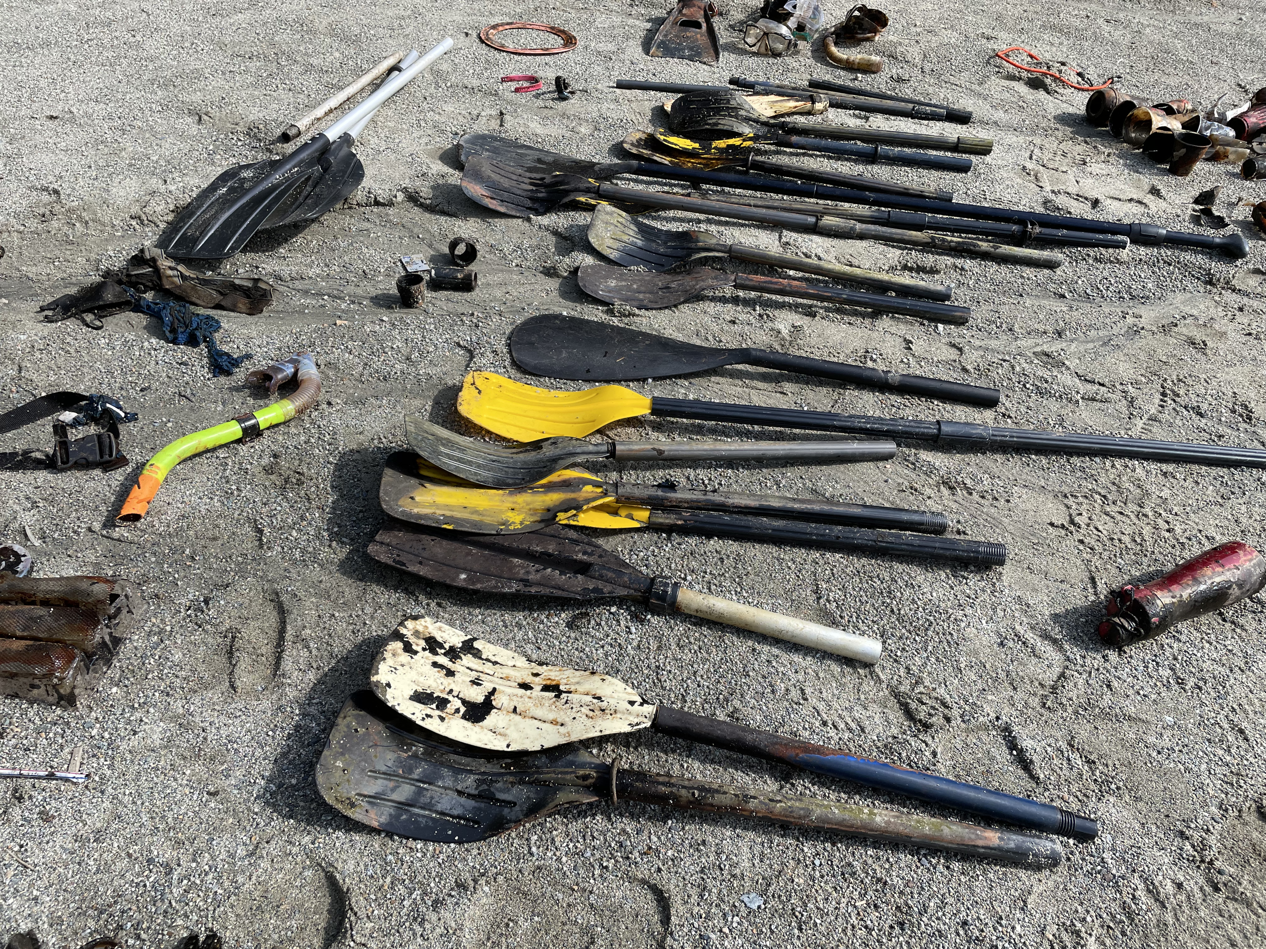
Scuba Diving Torch
Overcast & windy
The Coral Tribe
Jennifer Dowling
1
2
1
0.75
69
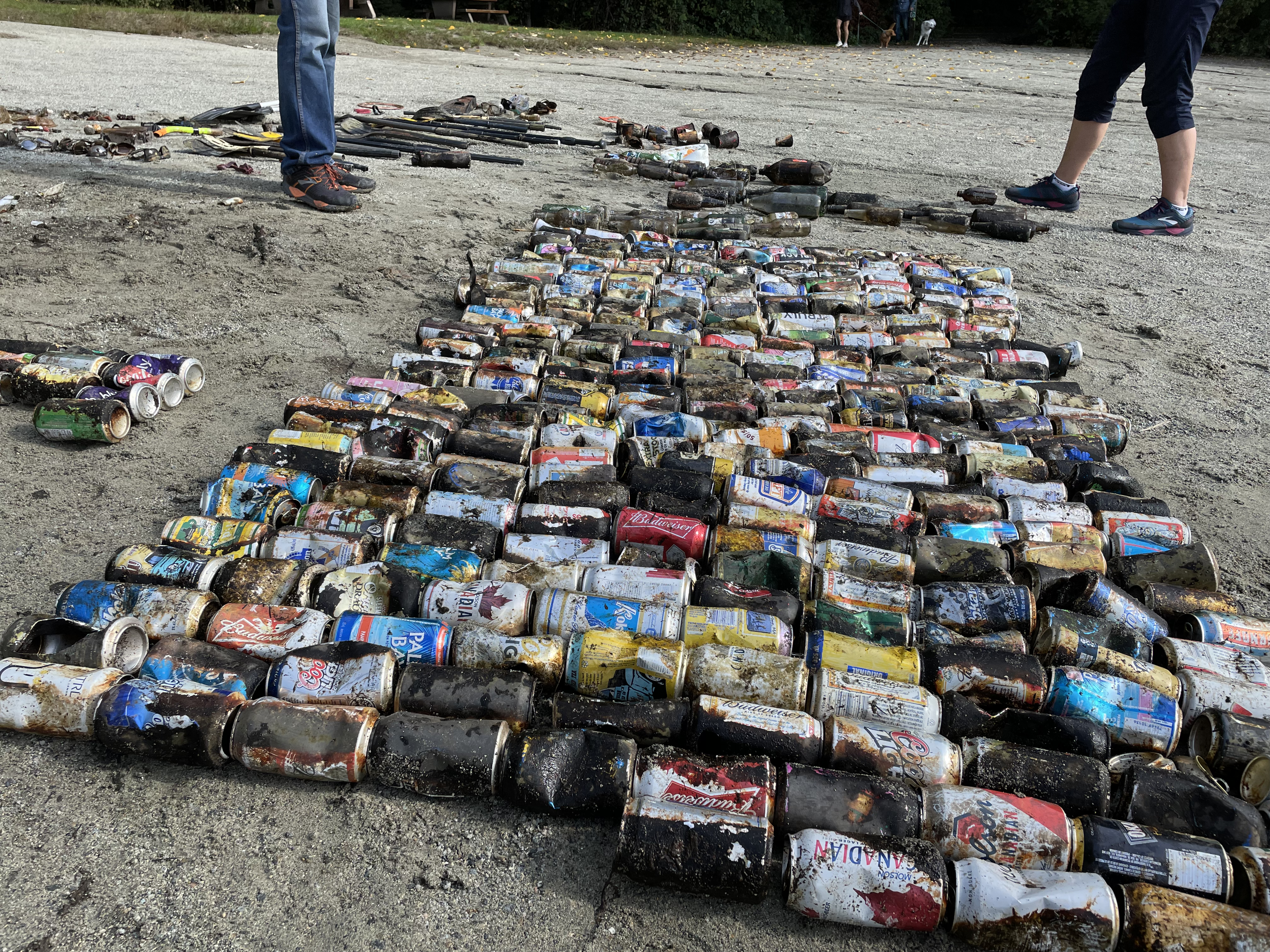
9.00
7.00
estimated
6.00
Ghost fishing net
plastic fragments
On
kilograms
I have debris data to report
Calm (glassy to rippled) for waves 0 – 0.1 meter high
ghost net
Coral crabs
Released Unharmed
2
m2


meters
coral reef
1
State\Province
Surat Thani
City
Koh Tao
Map Help
Dive Location
If you know your survey site coordinates, enter them manually in decimal degrees using WGS84 Map Datum. Use the minus sign for latitudes south of the equator and longitudes west of the Prime Meridian to 180 degrees.
If you do not know your survey site coordinates, click the “Map Location” tab to use the map to zoom into your survey site and drop the pin on the map to fall within your survey dive site in the water (not on land or the beach). Ensure you zoom in as much as possible to ensure data accuracy.
Entangled Help
Use the vertical tabs below to record any entangled animals you found of each type.
Dominant Substrate Other
Rubble & Sand