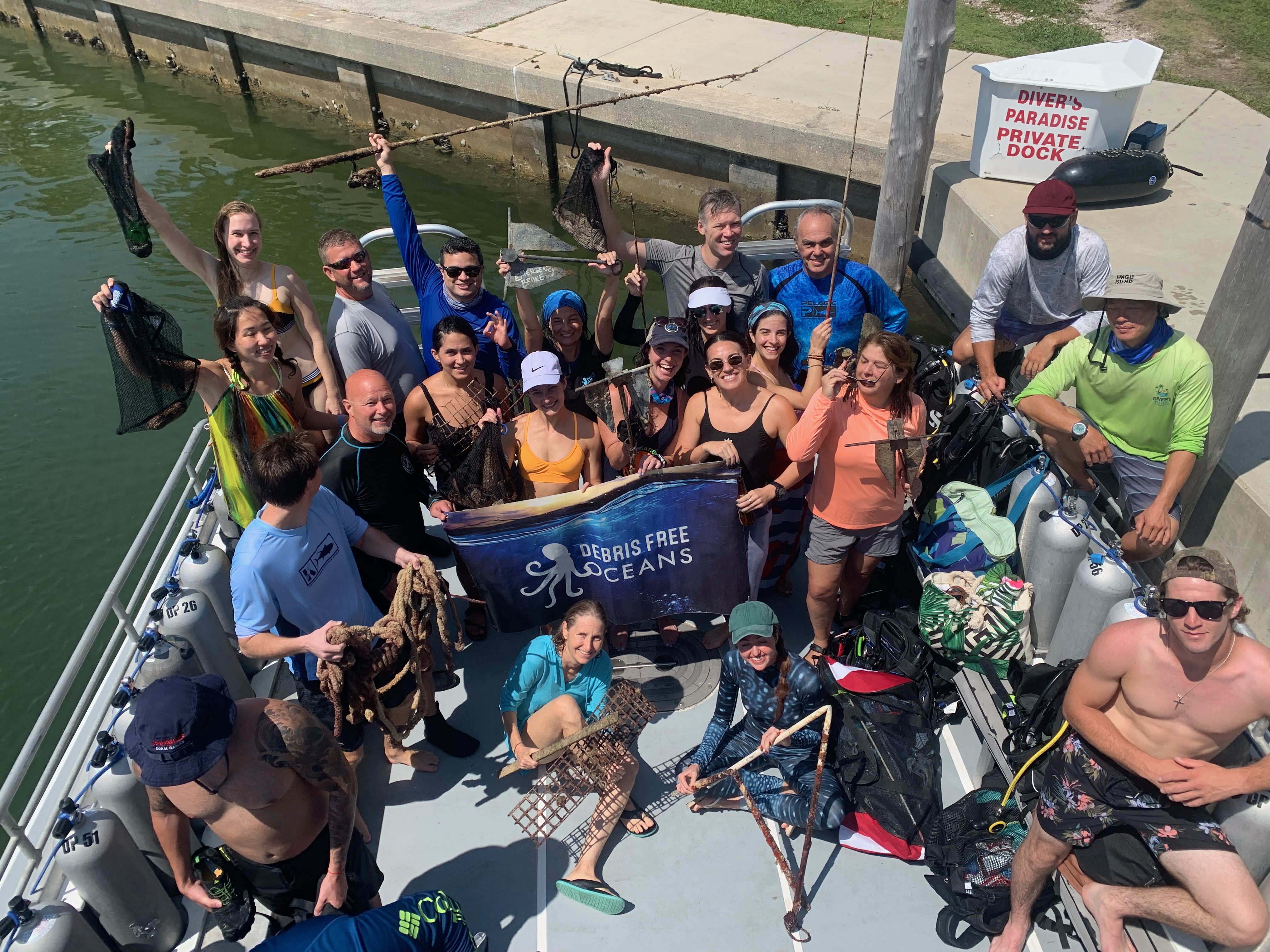
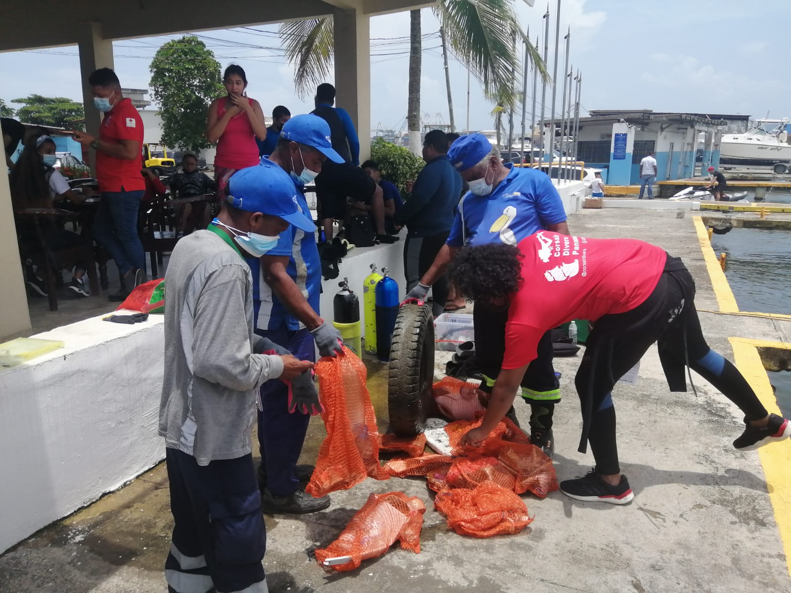
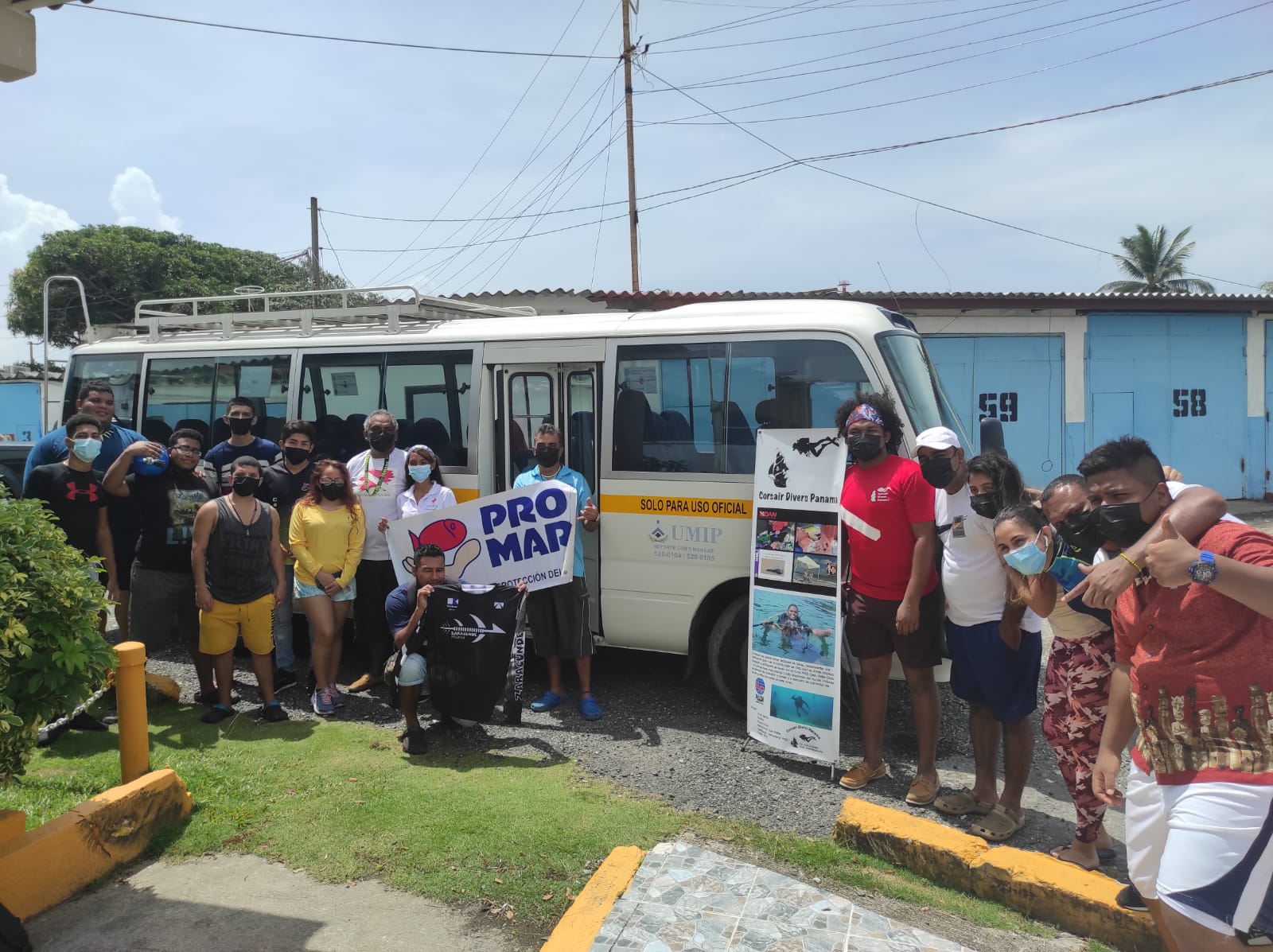
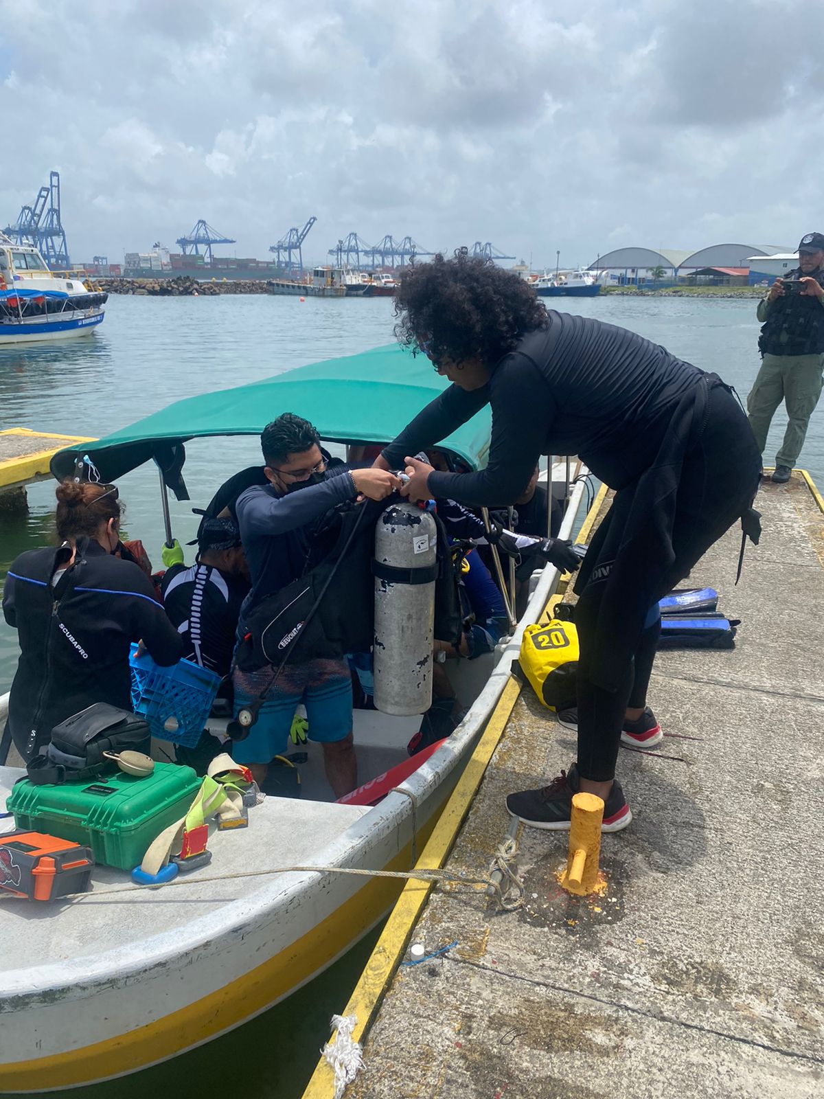
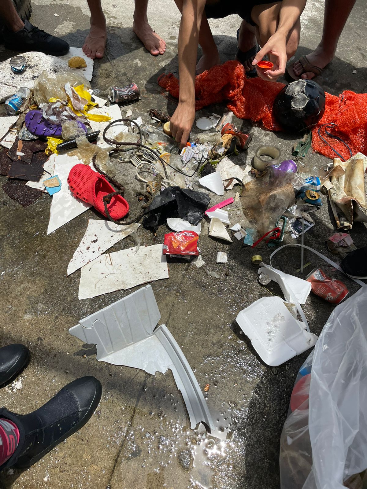
Limpieza Submarina Corsair Diver Panamá 2021 Colon, Panamá
2
35
18
1
silt
40
1
2
9.380591168352, -79.897918201454
Limpieza Submarina 2021...
Gracias a CORSAIR DIVER PANAMA, PROMAR, ZARACUNDE, UMIP, CLUB NAUTICO CARIBE, MIAMBIENTE, SENAN, CRUZ ROJA PANAMEÑA, AGUASEO, VOLUNTARIOS INDEPENDIENTES Y TODOS LOS QUE COMPRARON ARTÍCULOS PROMOCIONALES MDO2021, ya que con esos fondos se pudo realizar esta gran actividad... ??????
Gracias a CORSAIR DIVER PANAMA, PROMAR, ZARACUNDE, UMIP, CLUB NAUTICO CARIBE, MIAMBIENTE, SENAN, CRUZ ROJA PANAMEÑA, AGUASEO, VOLUNTARIOS INDEPENDIENTES Y TODOS LOS QUE COMPRARON ARTÍCULOS PROMOCIONALES MDO2021, ya que con esos fondos se pudo realizar esta gran actividad... ??????
Mucha lluvia en las tardes, nada fuerte pero si muy recurrente.
A lot of rain in the afternoons, nothing strong but very recurrent
A lot of rain in the afternoons, nothing strong but very recurrent
1
Mascarrilla Quirurjicas - Surgical Mask
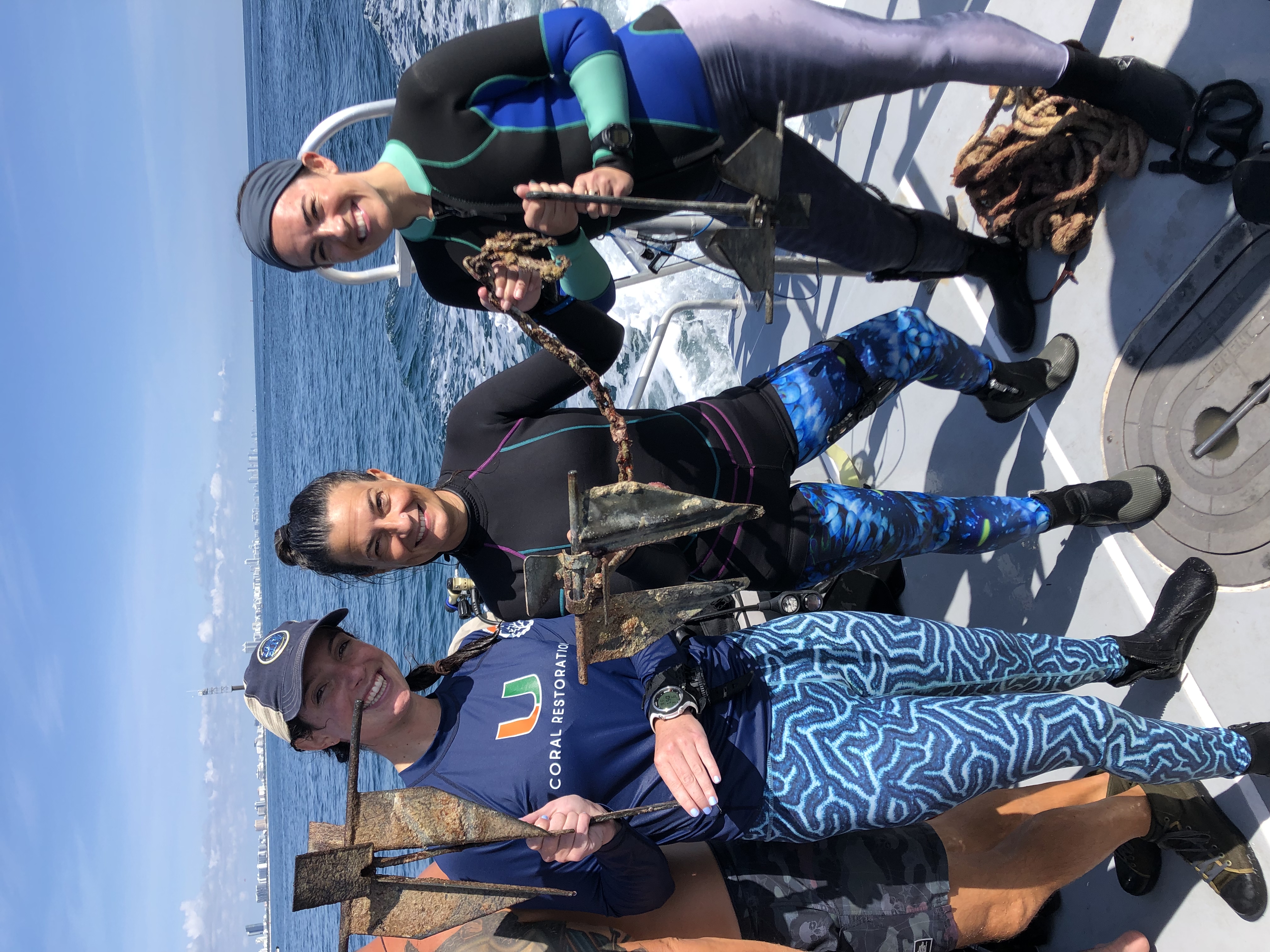
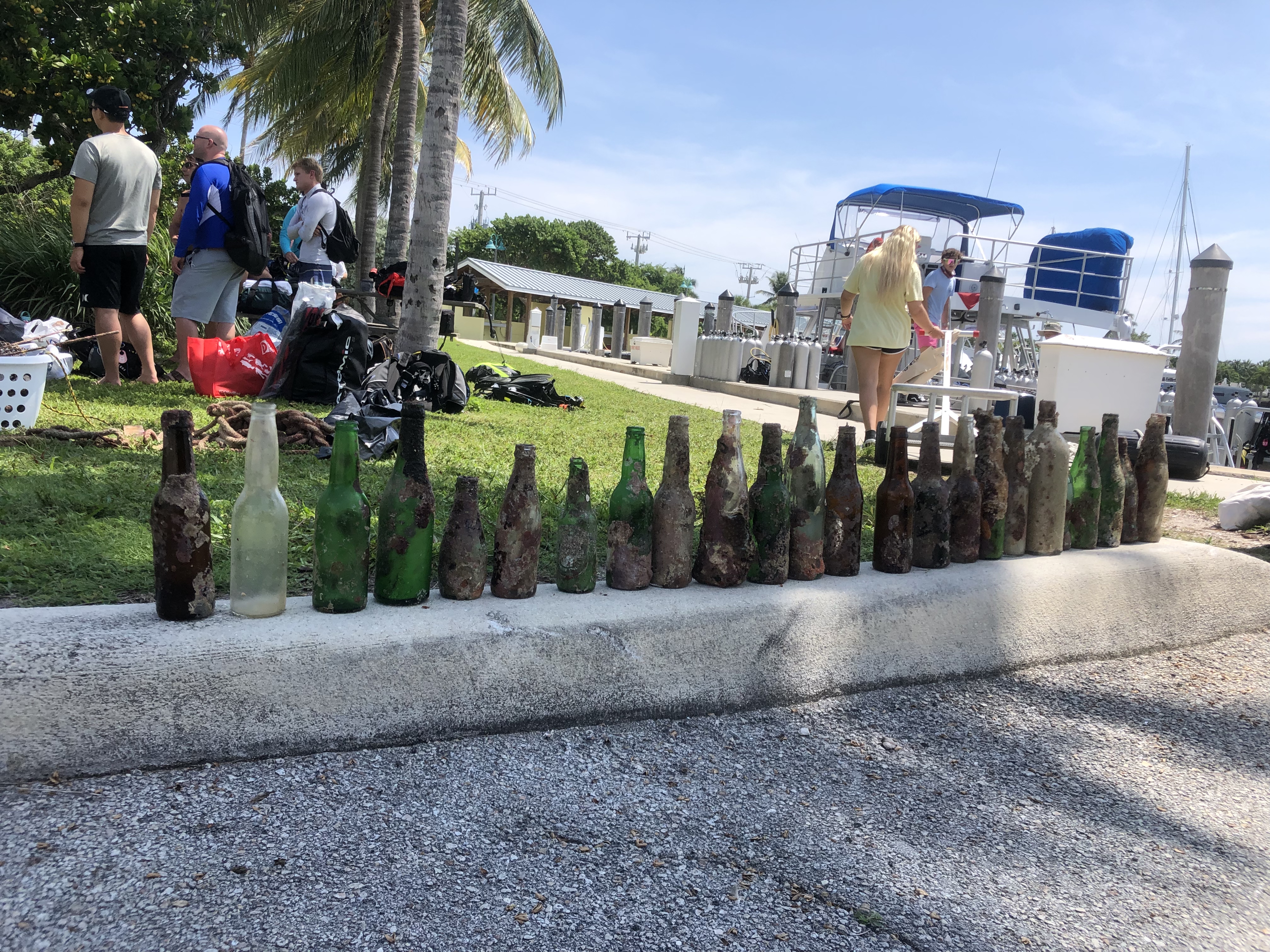
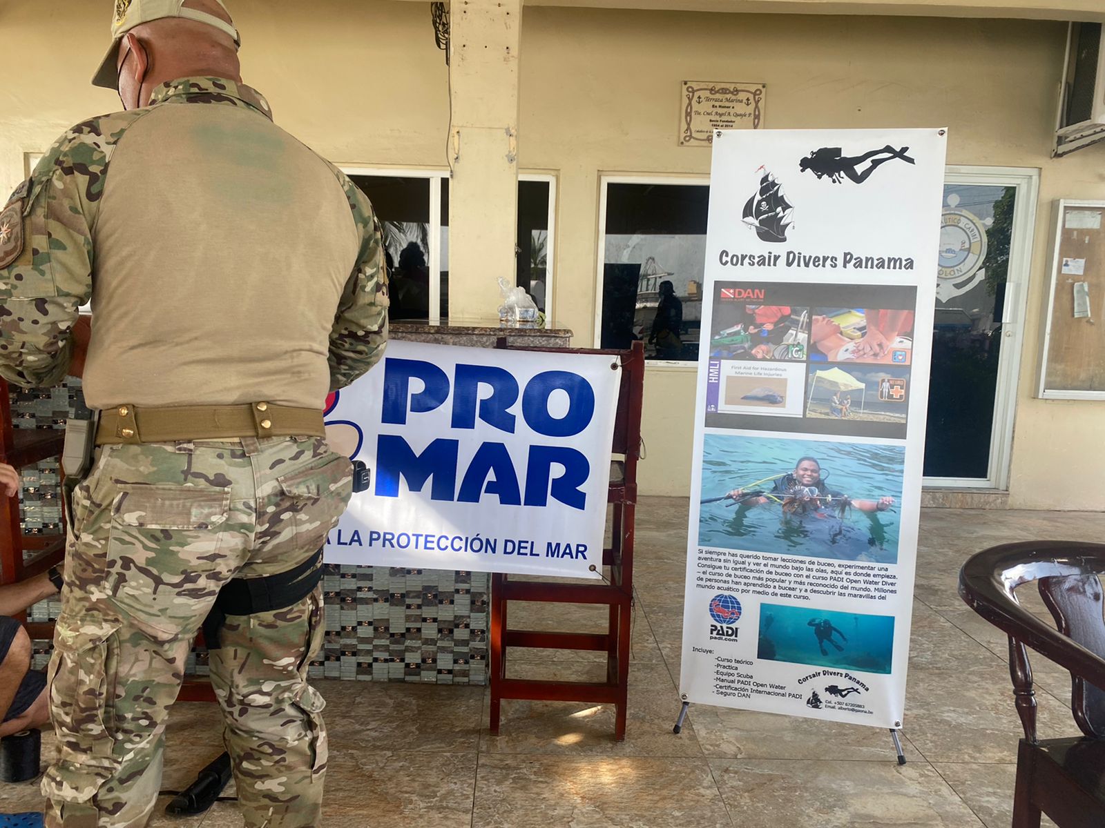
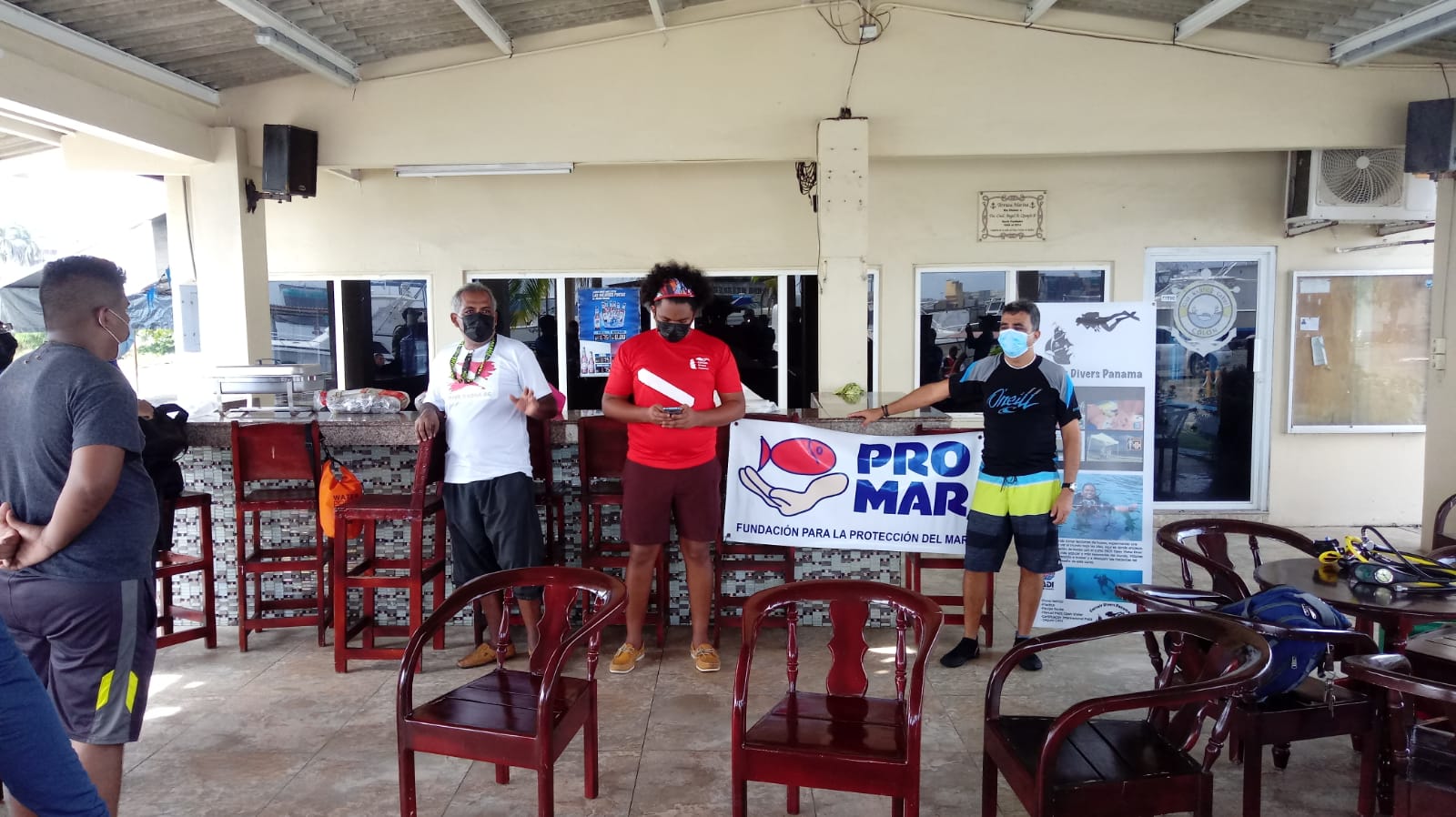
Corsair Diver Panamá
Corsair Diver Panamá
11
1
7
1
18
30
5
35
1
4
1
1
37.00
50
12.00
1.00
2
measured
13166.30
1
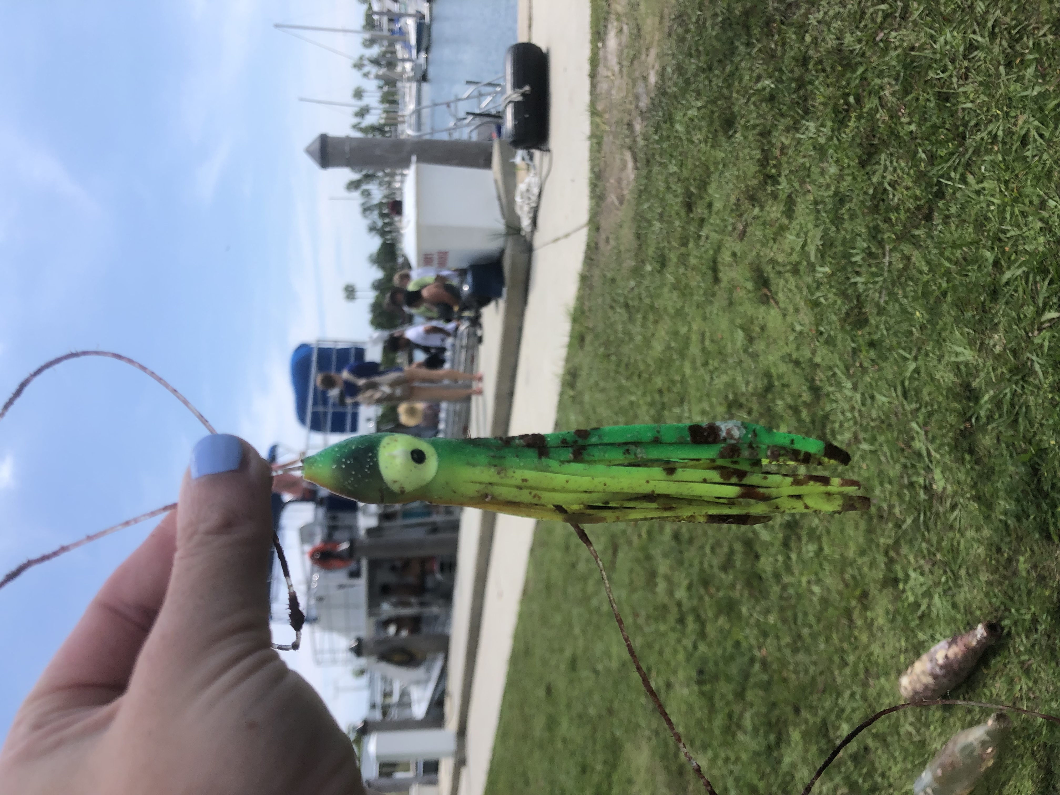
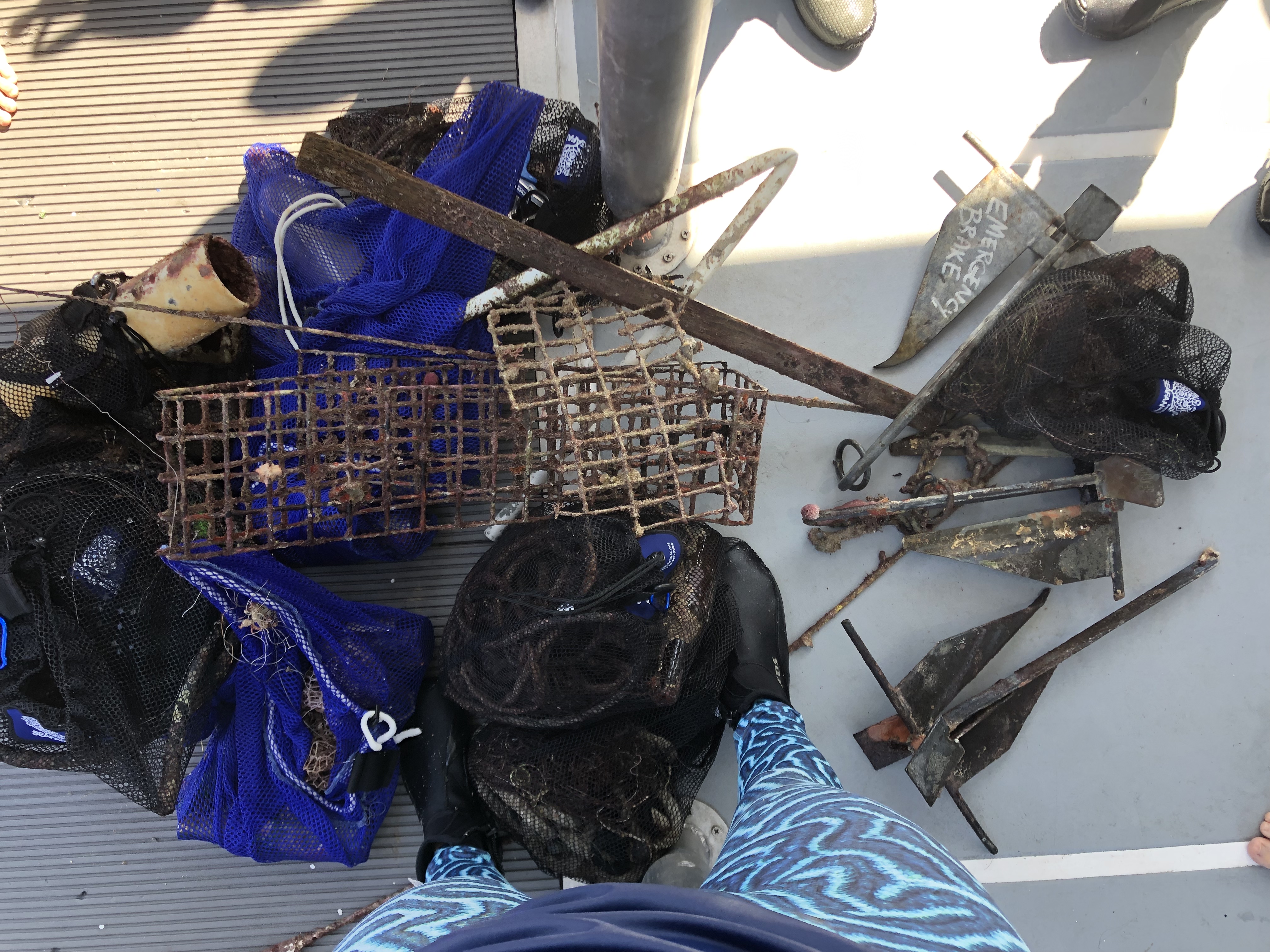
neumatico - tyres
plastic box - cajon de plastico productos lacteos
On
pounds
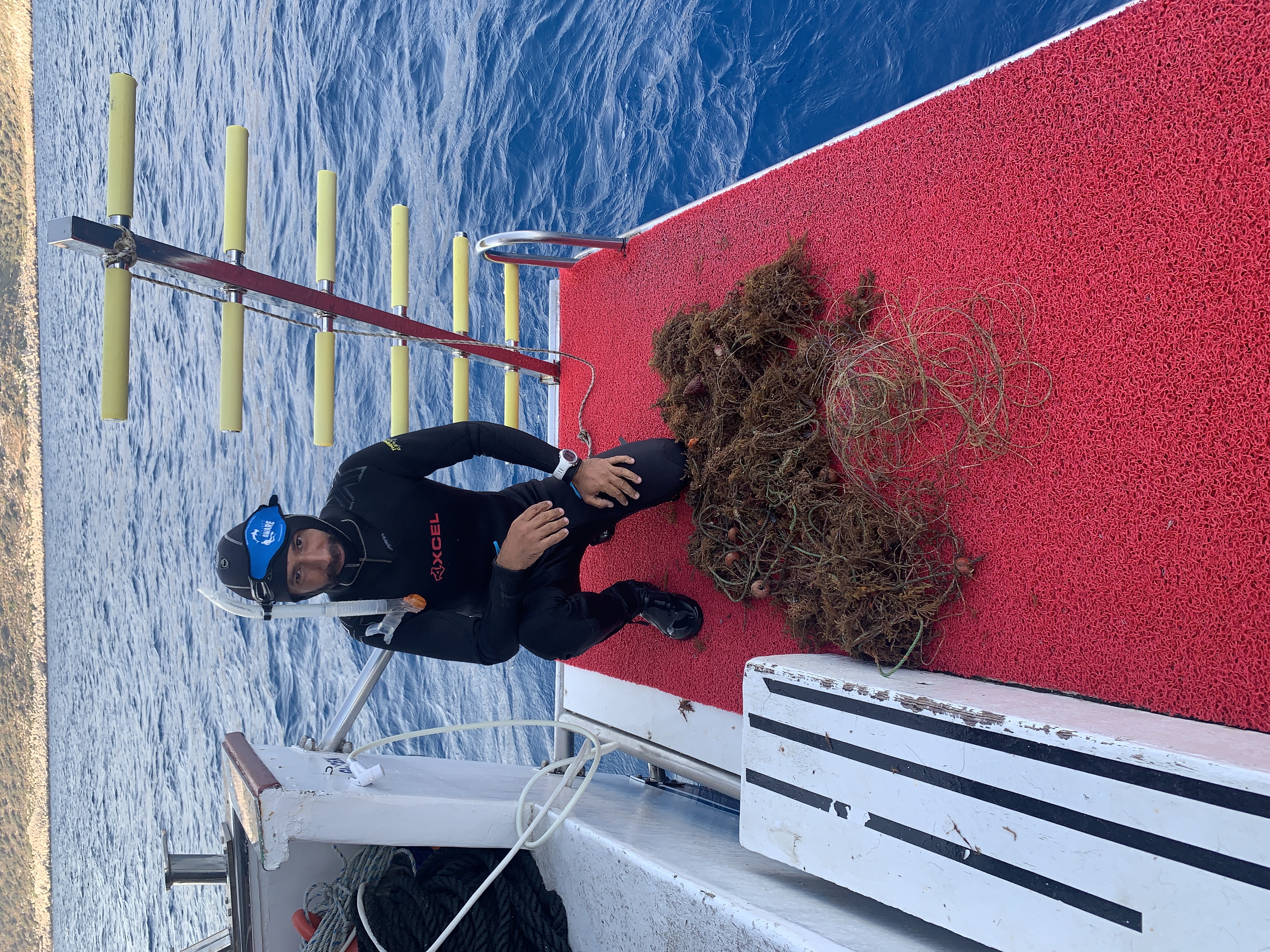
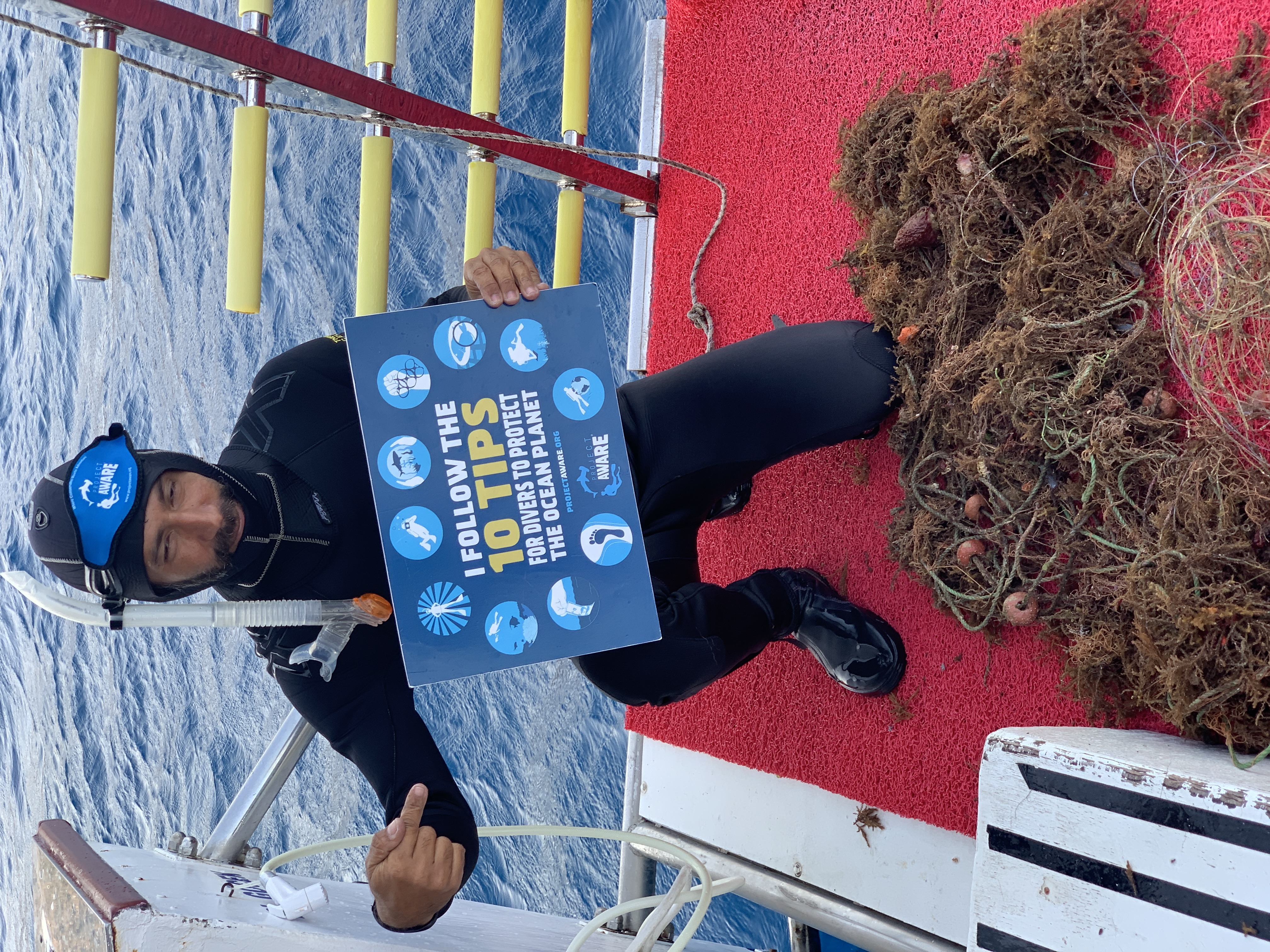
I have debris data to report
1
Smooth (wavelets) for waves 0.1 - 0.5 meter high
34
2
1
m2
1
meters
other
17
2
17
State\Province
Colon
City
Colón
Map Help
Dive Location
If you know your survey site coordinates, enter them manually in decimal degrees using WGS84 Map Datum. Use the minus sign for latitudes south of the equator and longitudes west of the Prime Meridian to 180 degrees.
If you do not know your survey site coordinates, click the “Map Location” tab to use the map to zoom into your survey site and drop the pin on the map to fall within your survey dive site in the water (not on land or the beach). Ensure you zoom in as much as possible to ensure data accuracy.
Entangled Help
Use the vertical tabs below to record any entangled animals you found of each type.
Ecosystem Other
Rompeolas - Breakwater