Van Phong Bay, The Light Coral Island Resort
0
0
0
0
21.085244455124, 105.78968104053
2
0
2
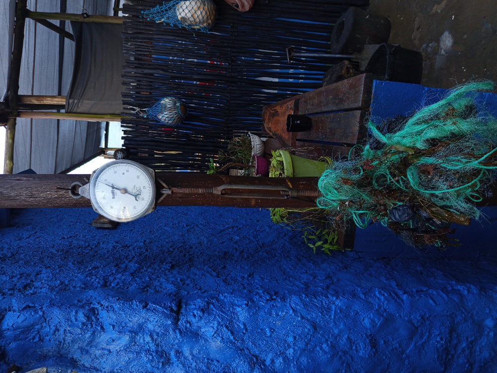
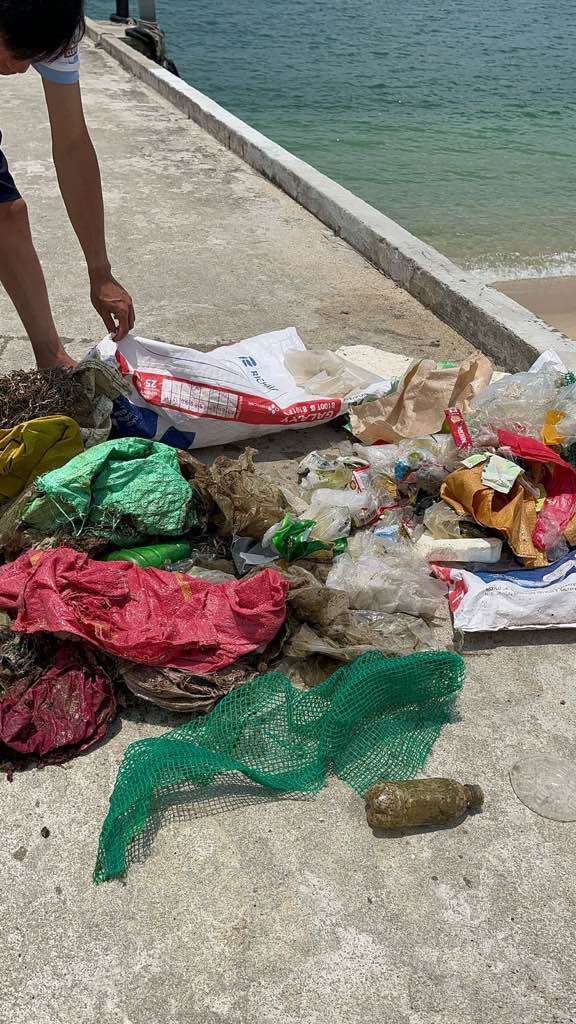
sand
0
6
0
0
0
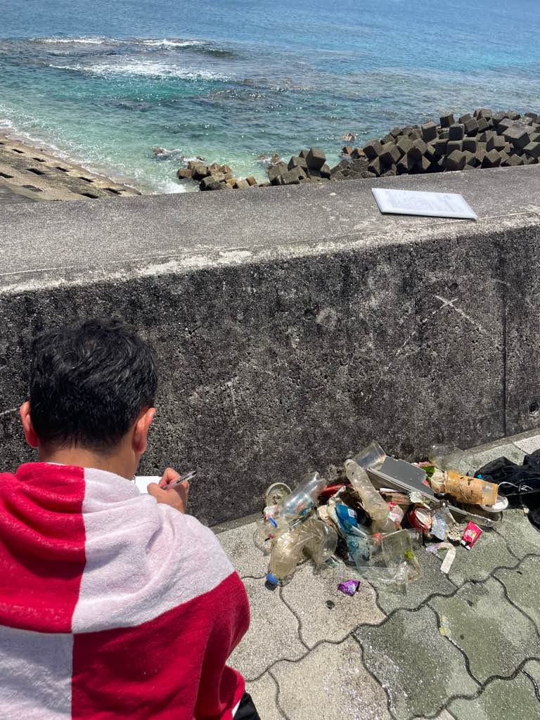
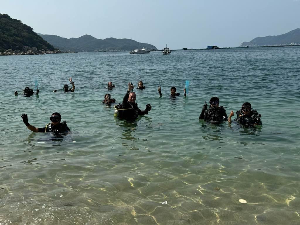
Van Phong bay are still an unexplored place but still needs a lot of cares. The ocean is calling because we are born to dive
Yes
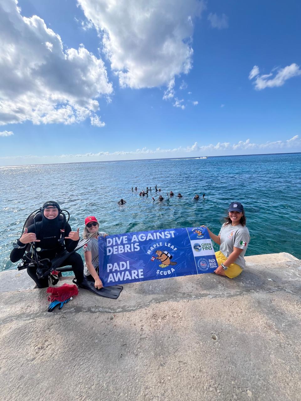
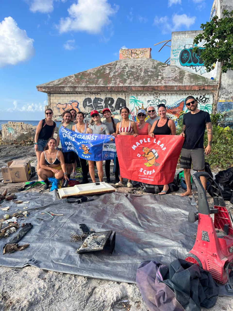
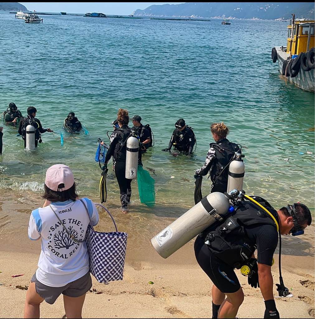
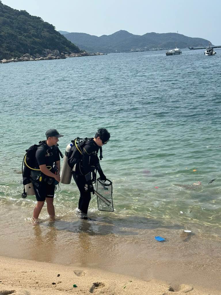
This event was a first step towards the coral planting project
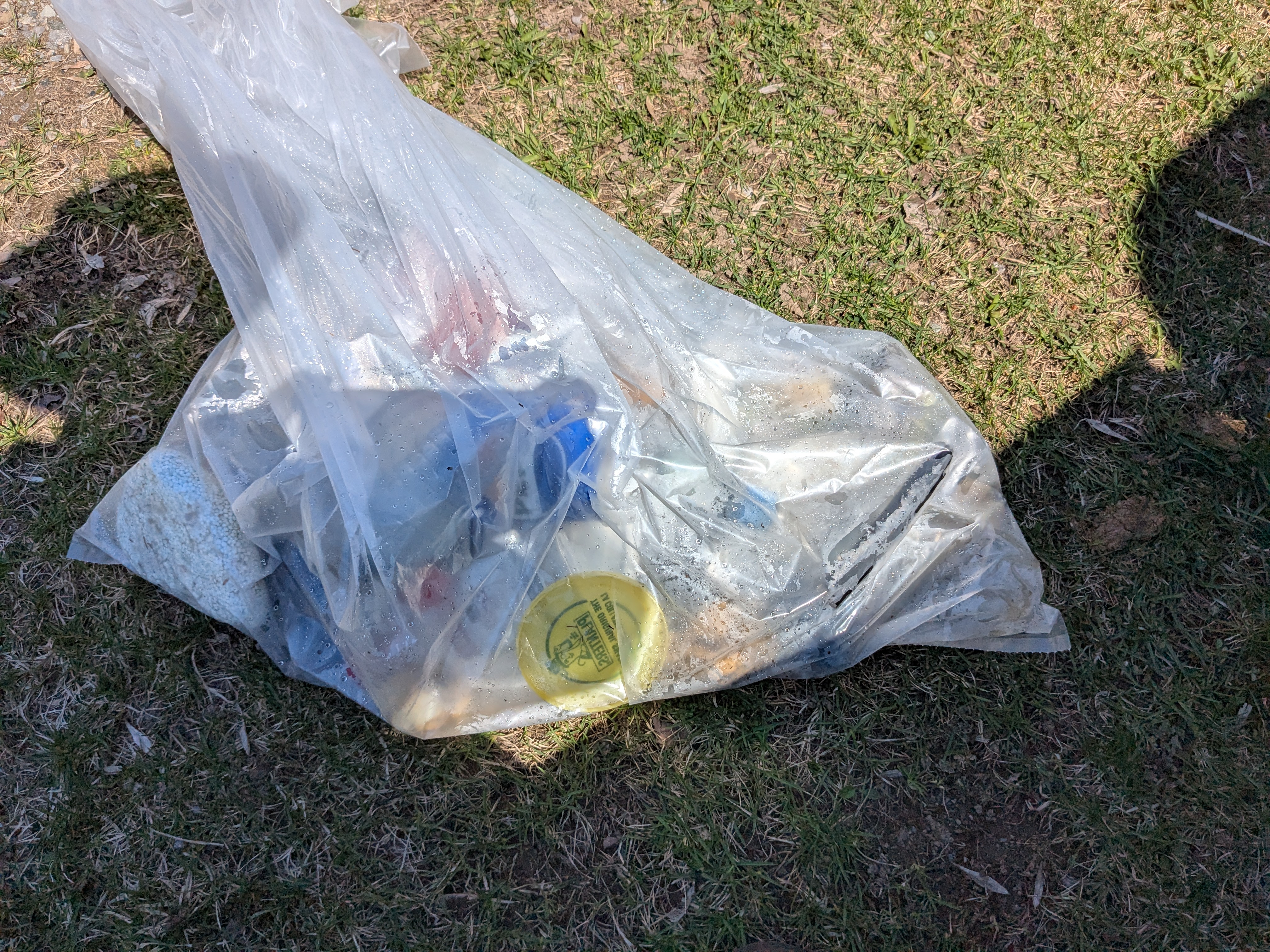
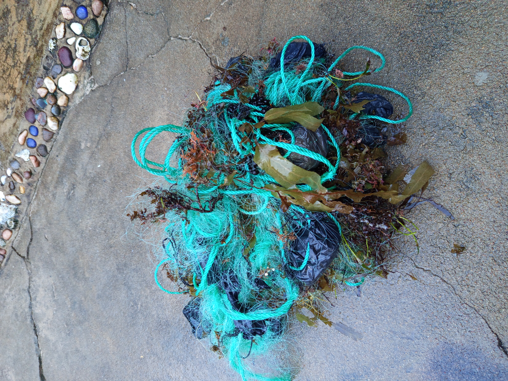
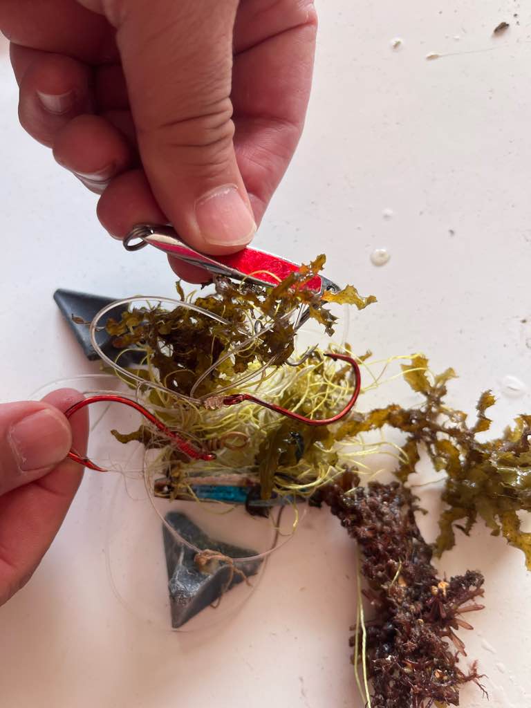
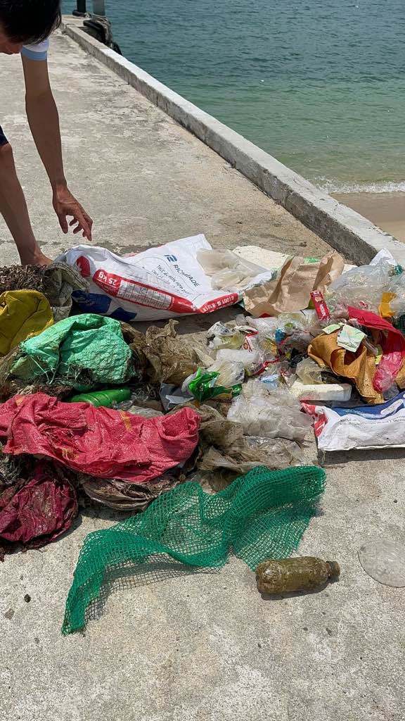
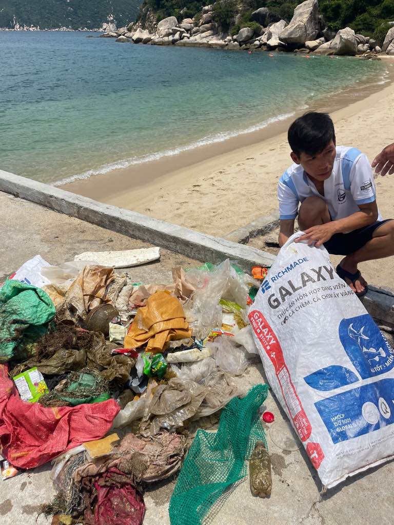
Plastic bags are cigarette packs
Very clear water
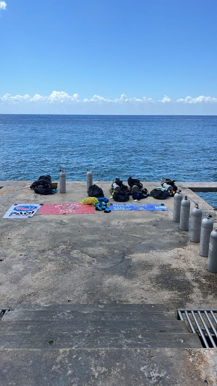
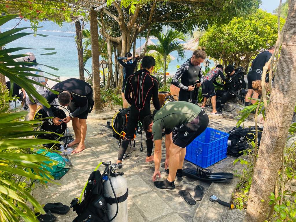
Seahorse Diving Club
Giordano
0
0
0
9
0
0
0
0
2
5
0
0
0
0
0
0
2
0
0
13
0
0
0
0
10
5
8
0
0
0
0
0
0
0
0
0
50.00
58
12.00
3.00
0
estimated
0
0
7409.03
0
0
0
0
0
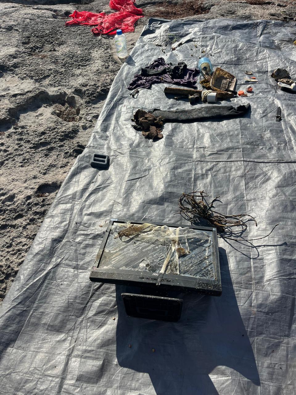
Debris coming from outside of the shore when season changes
Trash from boats
Trash from the villages
0
On
kilograms
0
I have debris data to report
0
0
0
Smooth (wavelets) for waves 0.1 - 0.5 meter high
0
0
0
0
0
0
0
m2

0
0
meters
coral reef
0
0
0
0
0
0
0
0
0
0
0
0
0
0
0
0
0
0
0
0
0
0
0
0
0
0
0
0
0
State\Province
Khan Hoa
City
Nha Trang
Map Help
Dive Location
If you know your survey site coordinates, enter them manually in decimal degrees using WGS84 Map Datum. Use the minus sign for latitudes south of the equator and longitudes west of the Prime Meridian to 180 degrees.
If you do not know your survey site coordinates, click the “Map Location” tab to use the map to zoom into your survey site and drop the pin on the map to fall within your survey dive site in the water (not on land or the beach). Ensure you zoom in as much as possible to ensure data accuracy.
Entangled Help