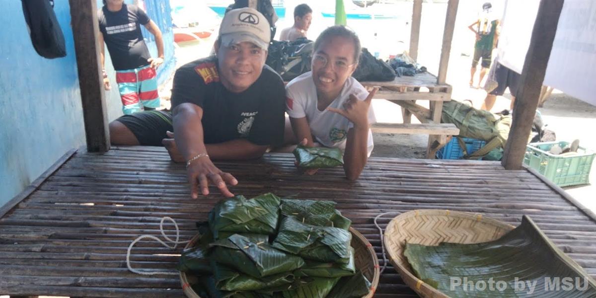
Marigondon Public Beach
6
sand
10.282977968258, 123.99900865397
shells
Fine weather
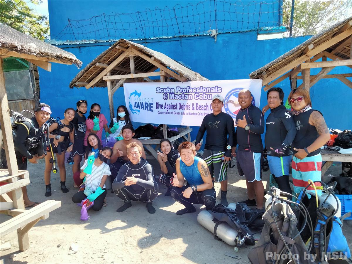
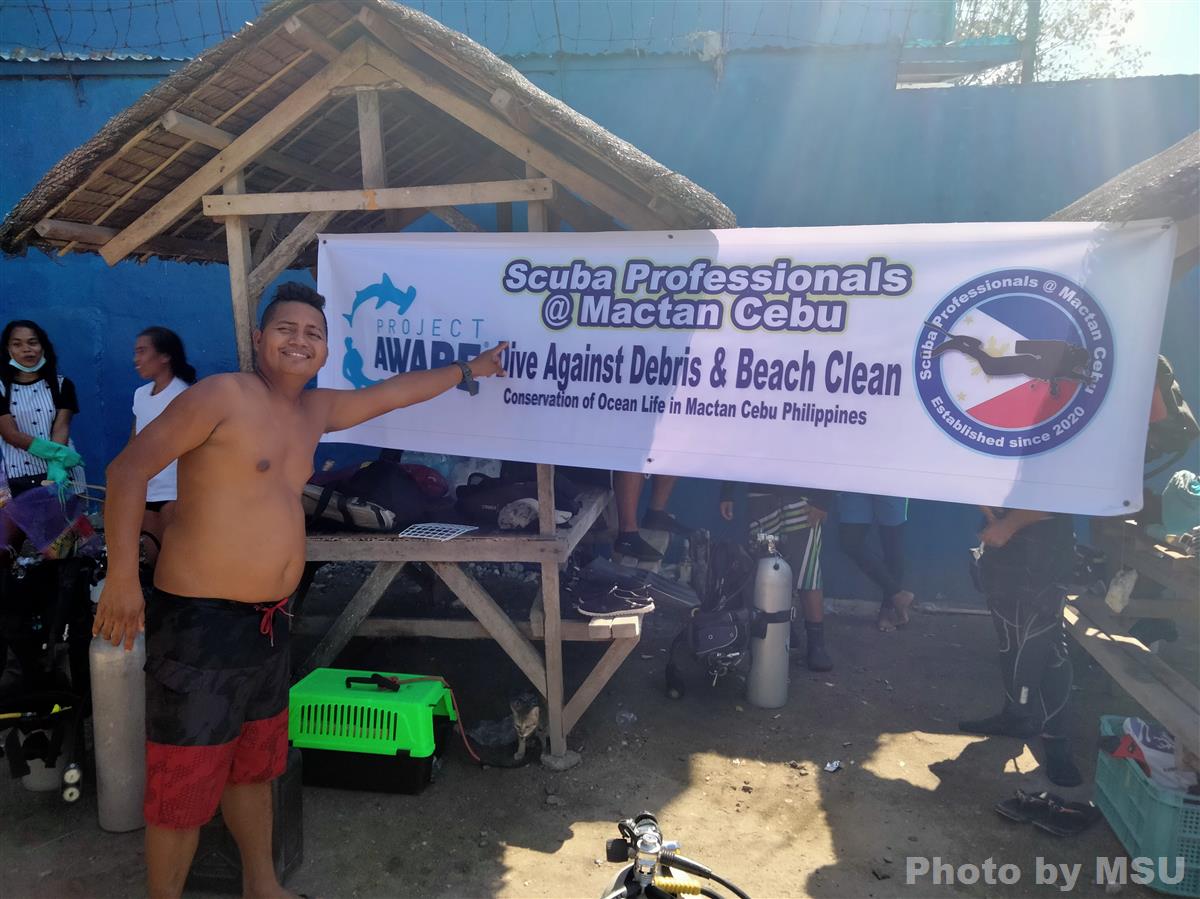
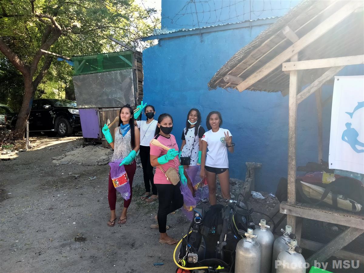
Scuba Professionals Mactan Cebu
Janrel Y. Tupas
21
1
1
54.40
45
10.00
5.00
measured
15274.40
11
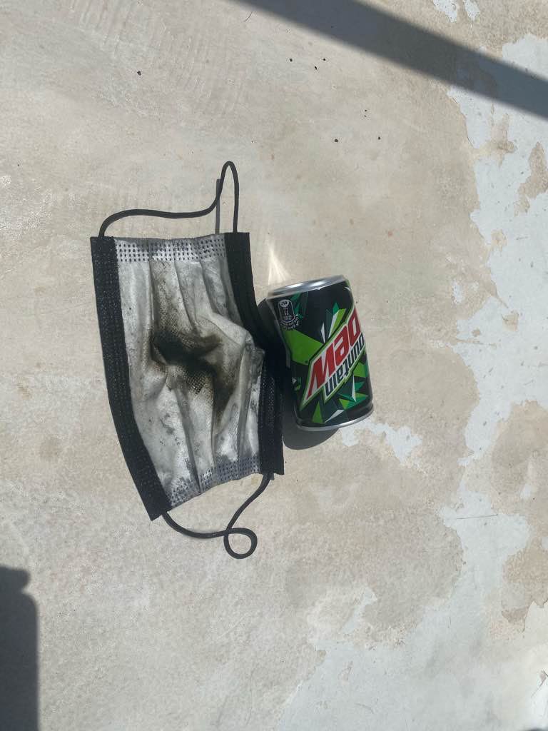
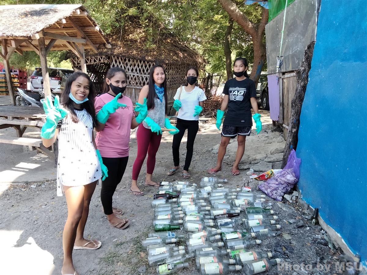
plastic bags
plastic bottles
On
kilograms
I have debris data to report
21
Calm (glassy to rippled) for waves 0 – 0.1 meter high
m2

meters
coral reef
4
9
3
2
1
State\Province
Cebu
City
Lapu-Lapu City
Map Help
Dive Location
If you know your survey site coordinates, enter them manually in decimal degrees using WGS84 Map Datum. Use the minus sign for latitudes south of the equator and longitudes west of the Prime Meridian to 180 degrees.
If you do not know your survey site coordinates, click the “Map Location” tab to use the map to zoom into your survey site and drop the pin on the map to fall within your survey dive site in the water (not on land or the beach). Ensure you zoom in as much as possible to ensure data accuracy.
Entangled Help