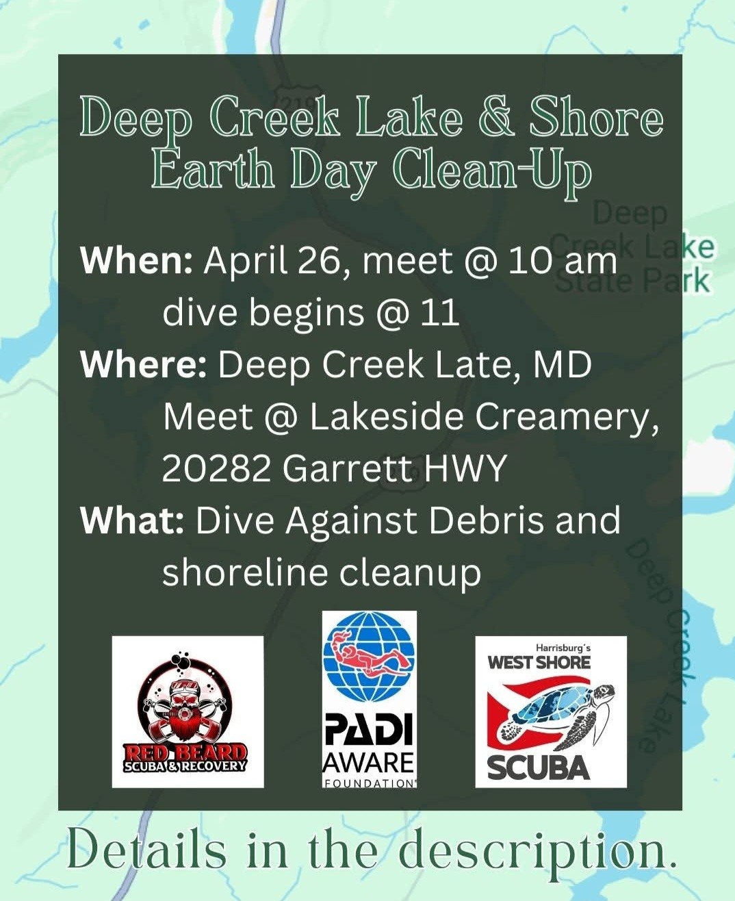
Lakeside Creamery (DCL,MD)
3
silt
4
8
39.510966832713, -79.322224012561
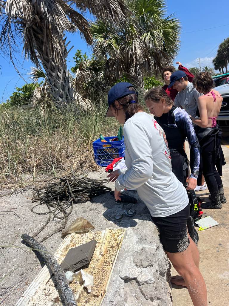
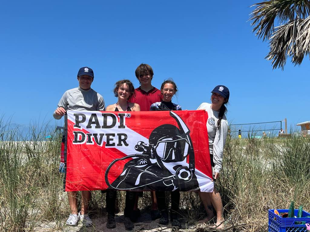
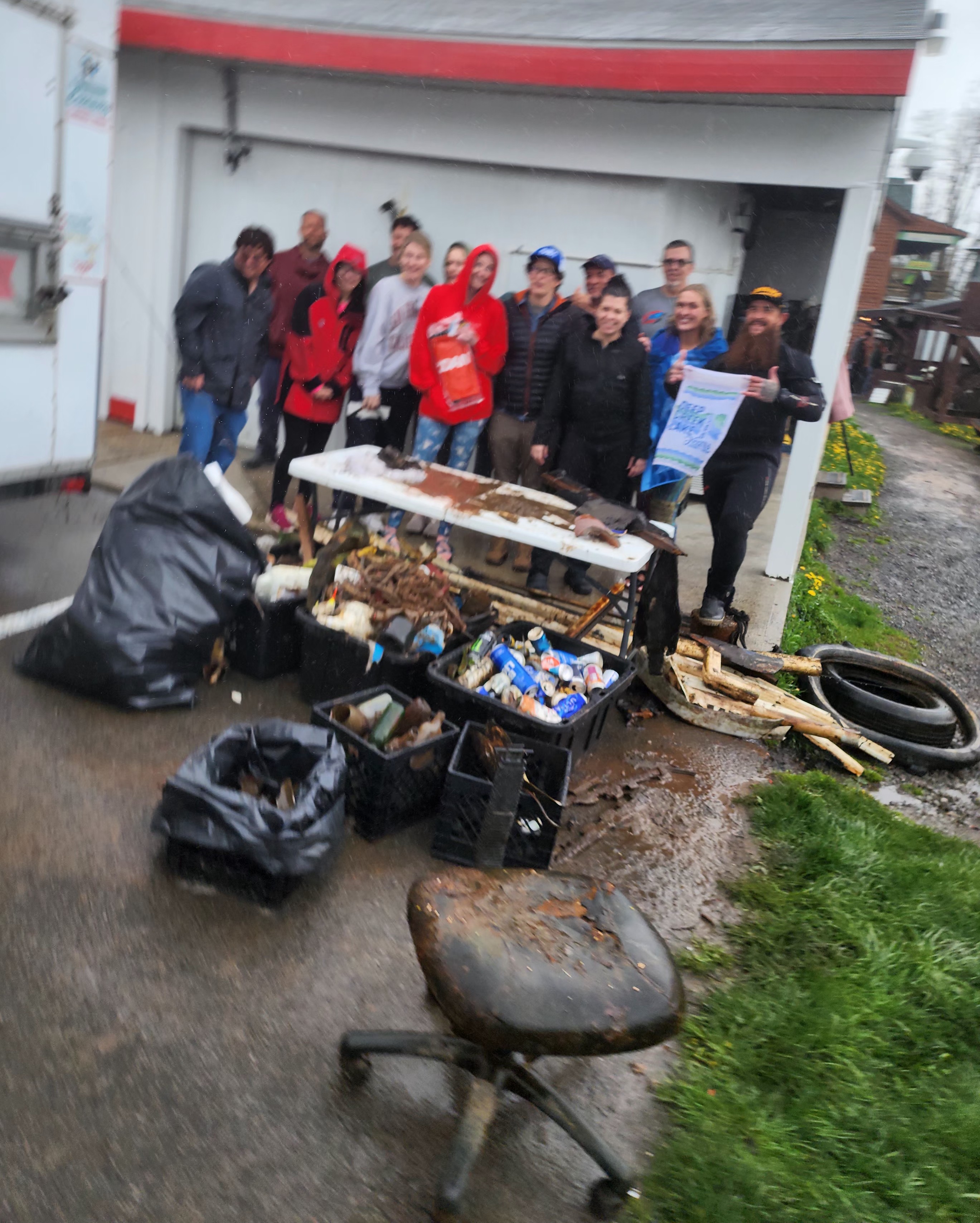
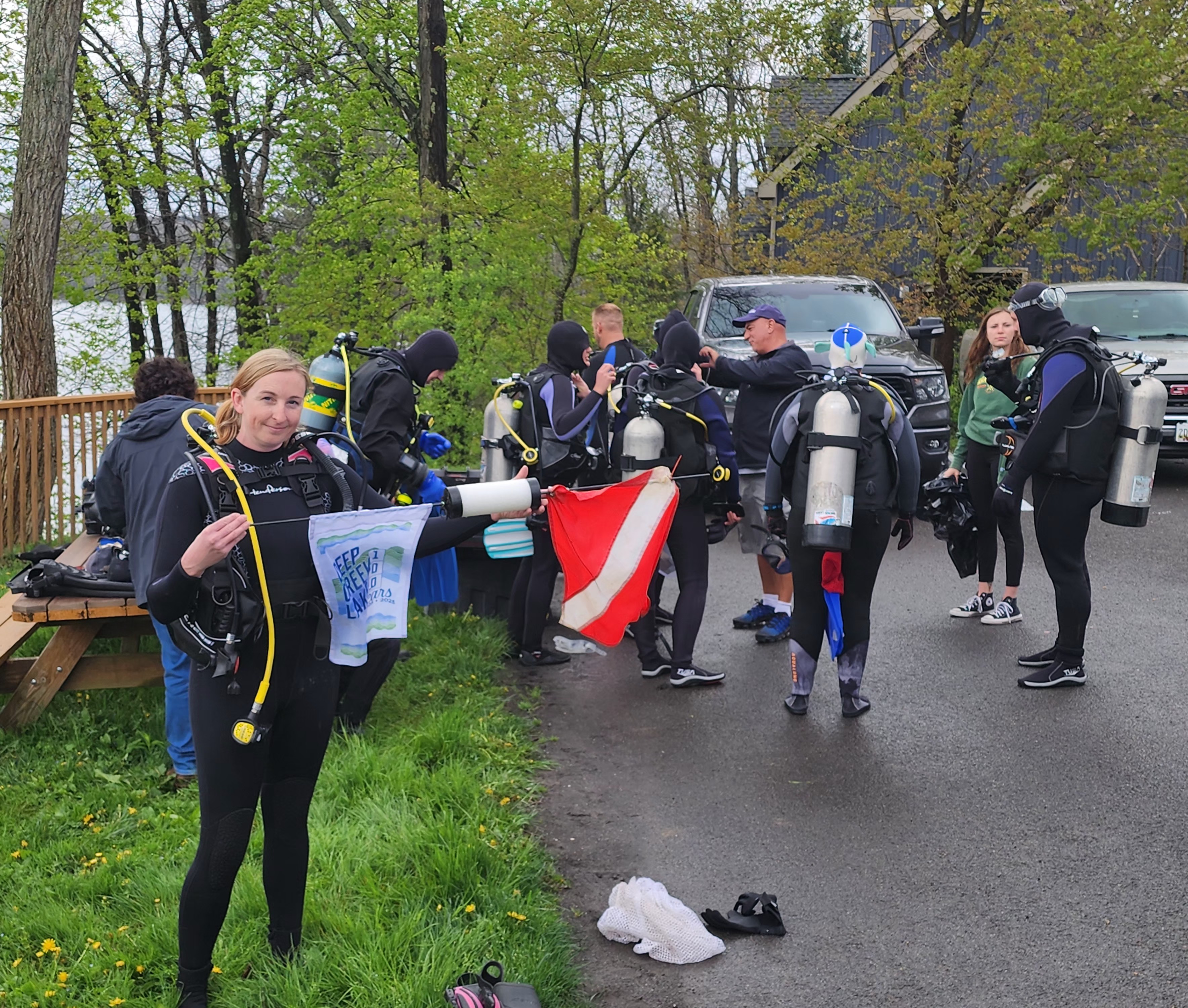
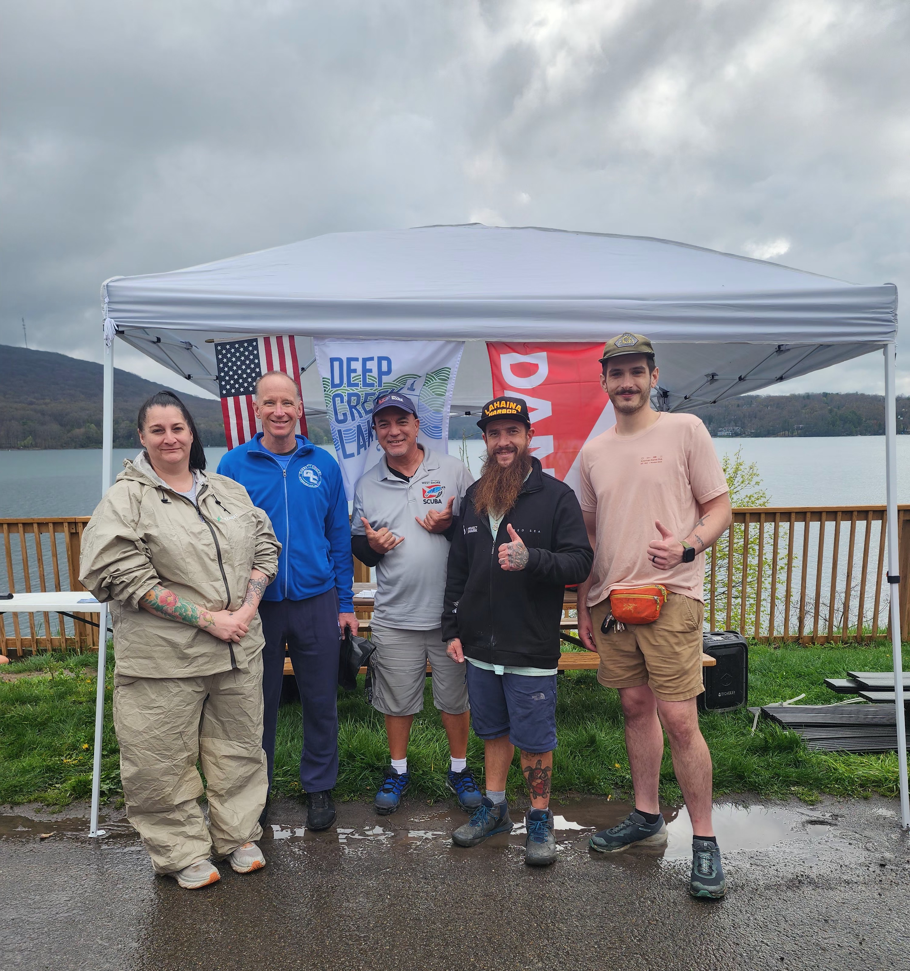
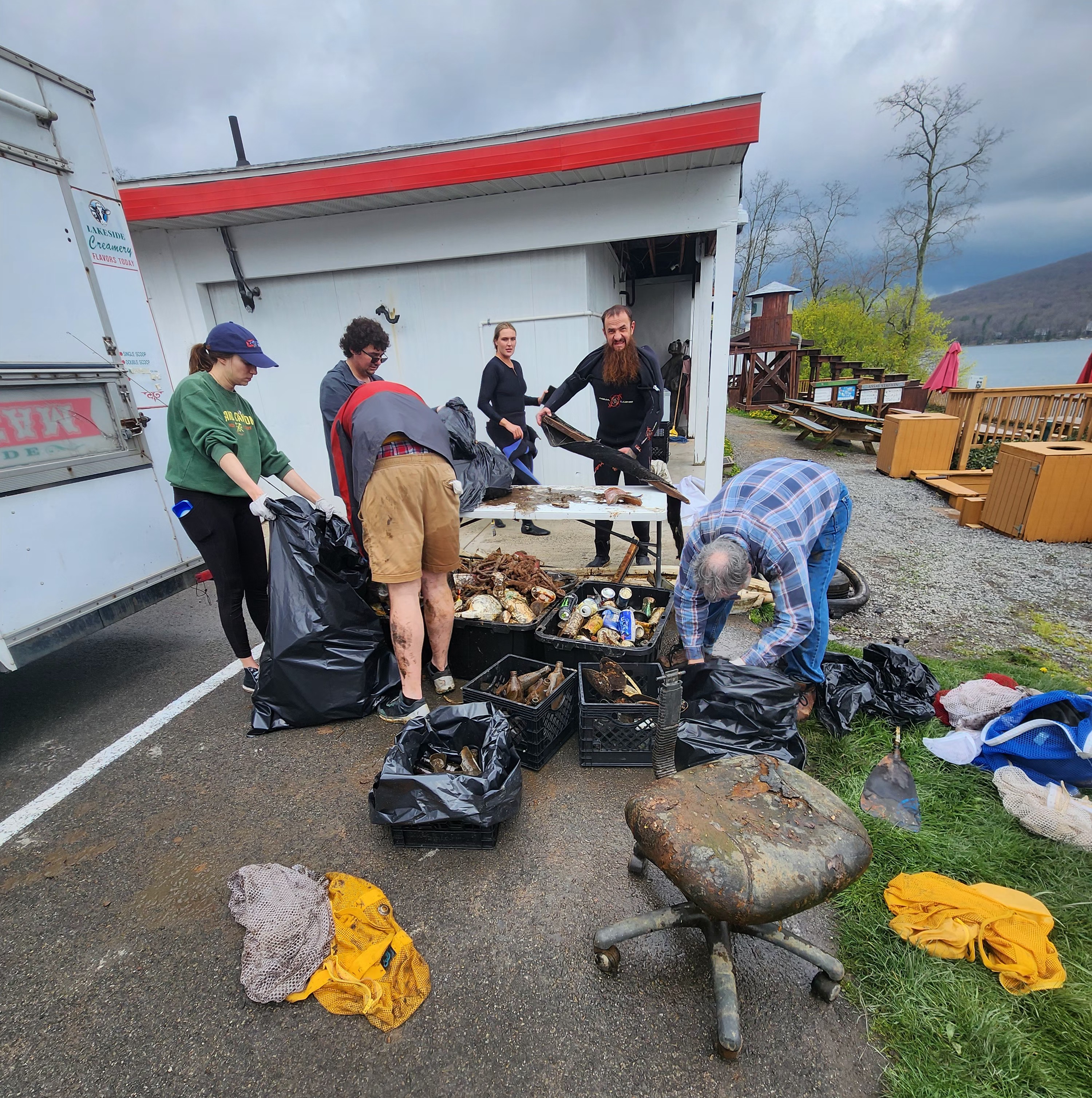
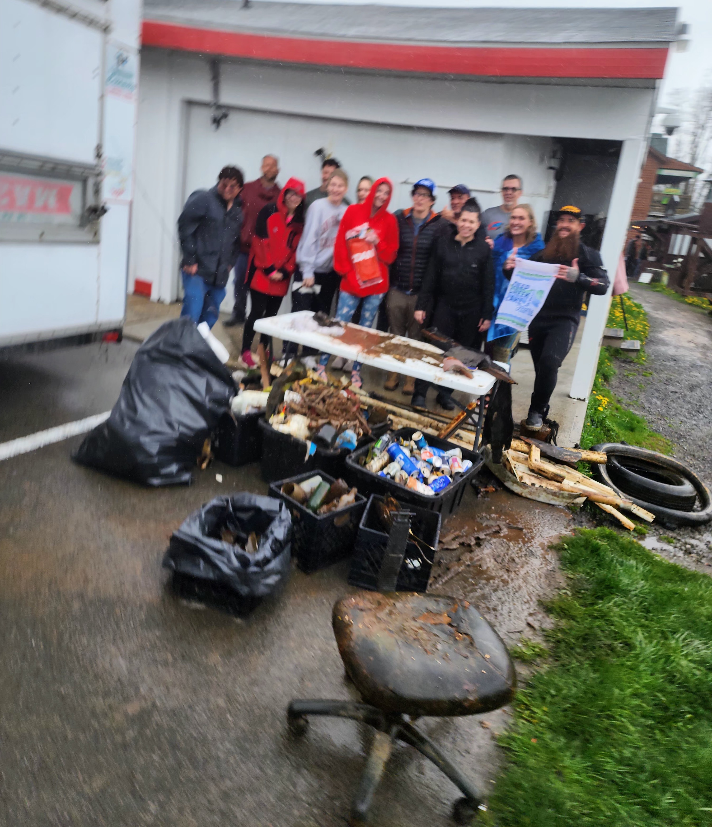
We would like to thank West Shore Scuba for joining us on this massive clean up. In celebration of Deep Creek Lake Earth Day and 100th Anniversary
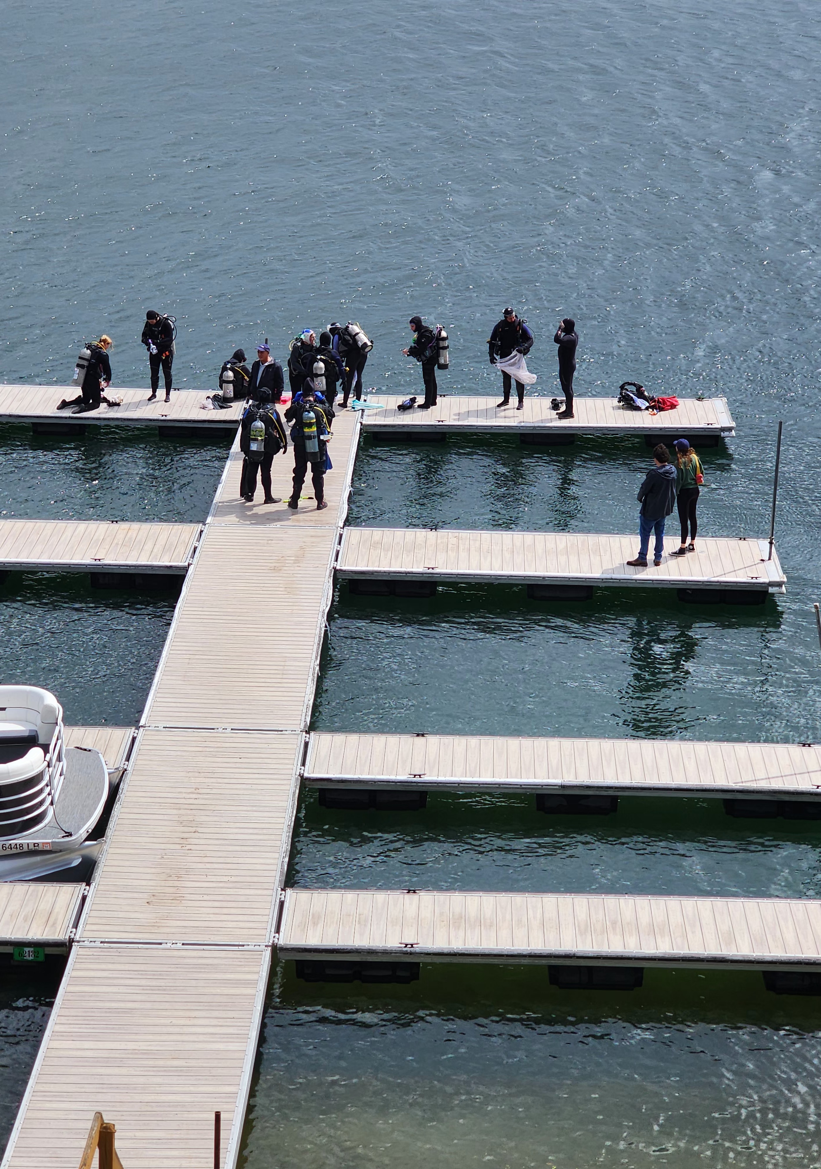
The placement and take out of seasonal docks.
We will keep working to be stewards of the lake.
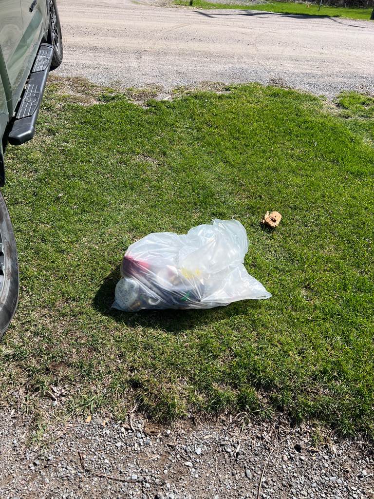
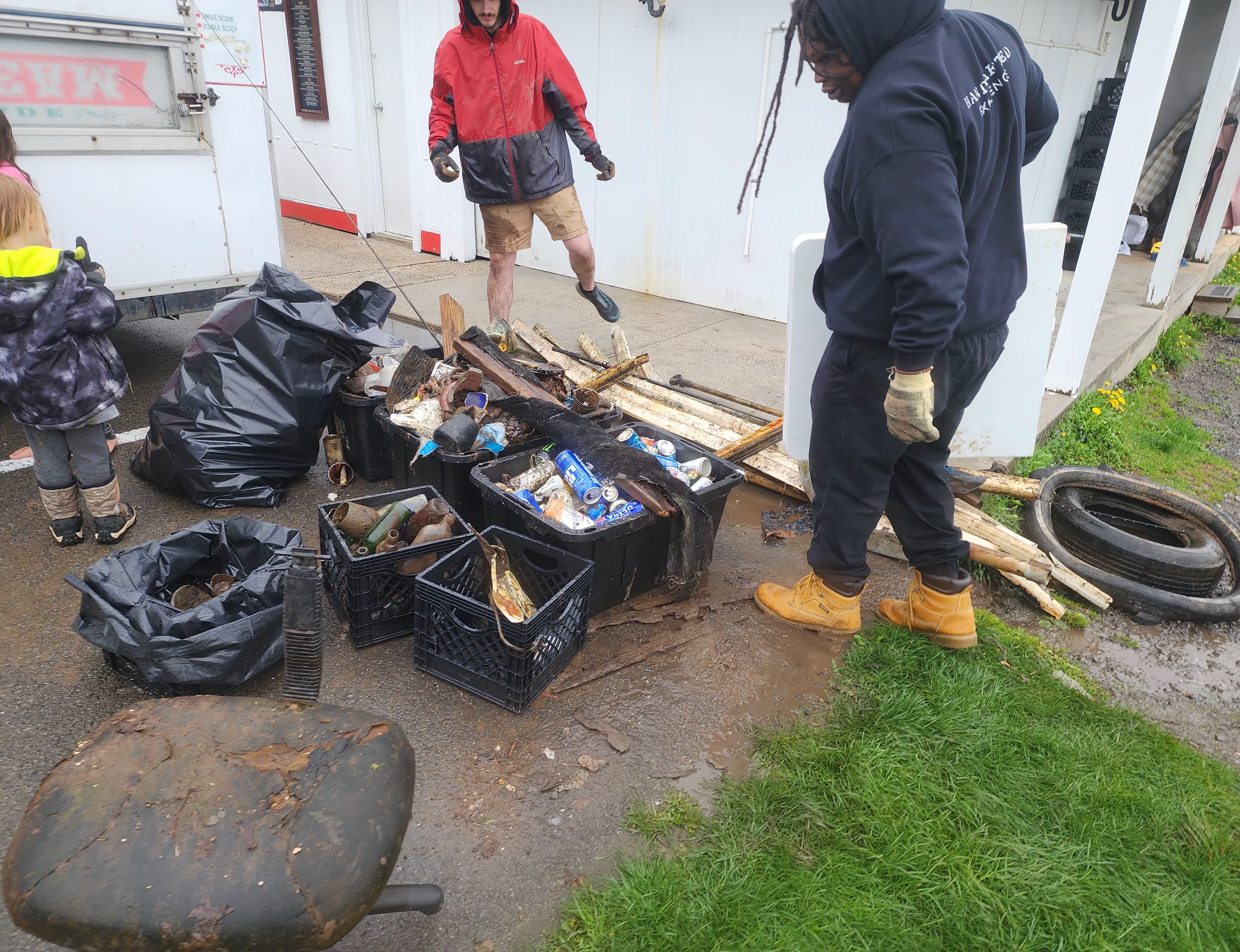
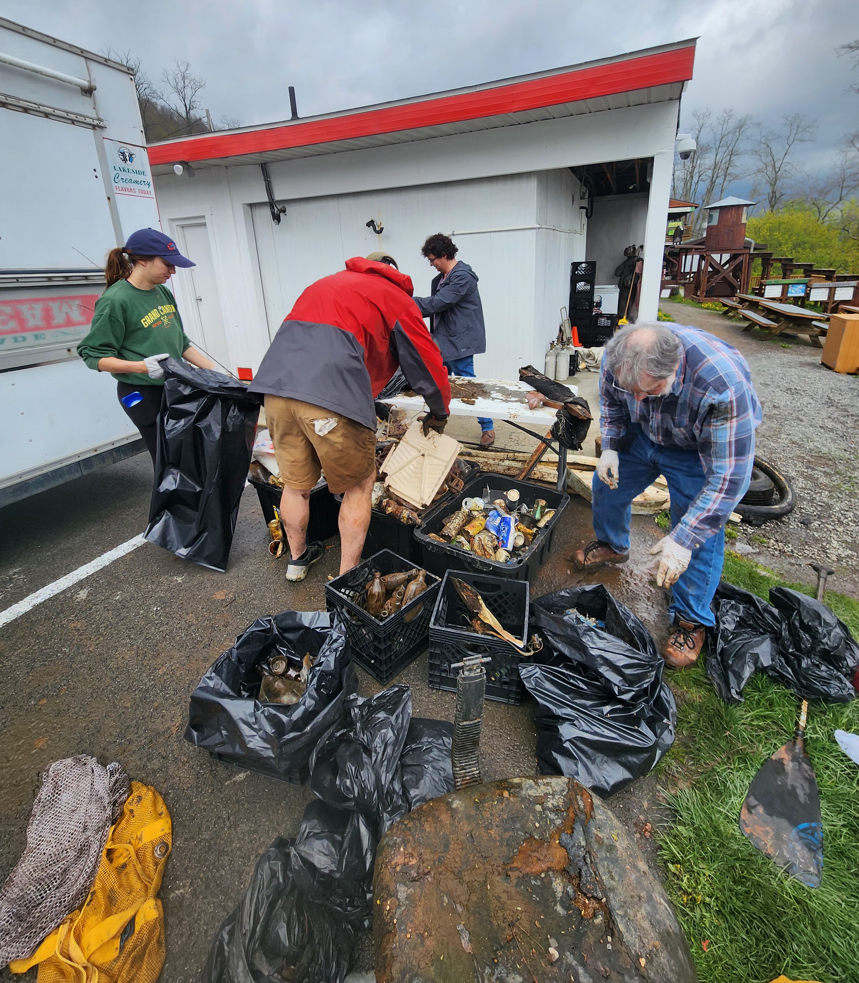
Office chair
Rain & Storms
19
4
20
1
2
1
Dock bumpers
Anchors
Mis. Dock materials
Office chair
Boat paddle
Real-estate Flagger
Red Beard Scuba / West Shore Scuba
Andy Adams
3
14
10
12
3
40
4
30
1
2
2
400.00
120
30.00
1.00
estimated
5
4000.00
2
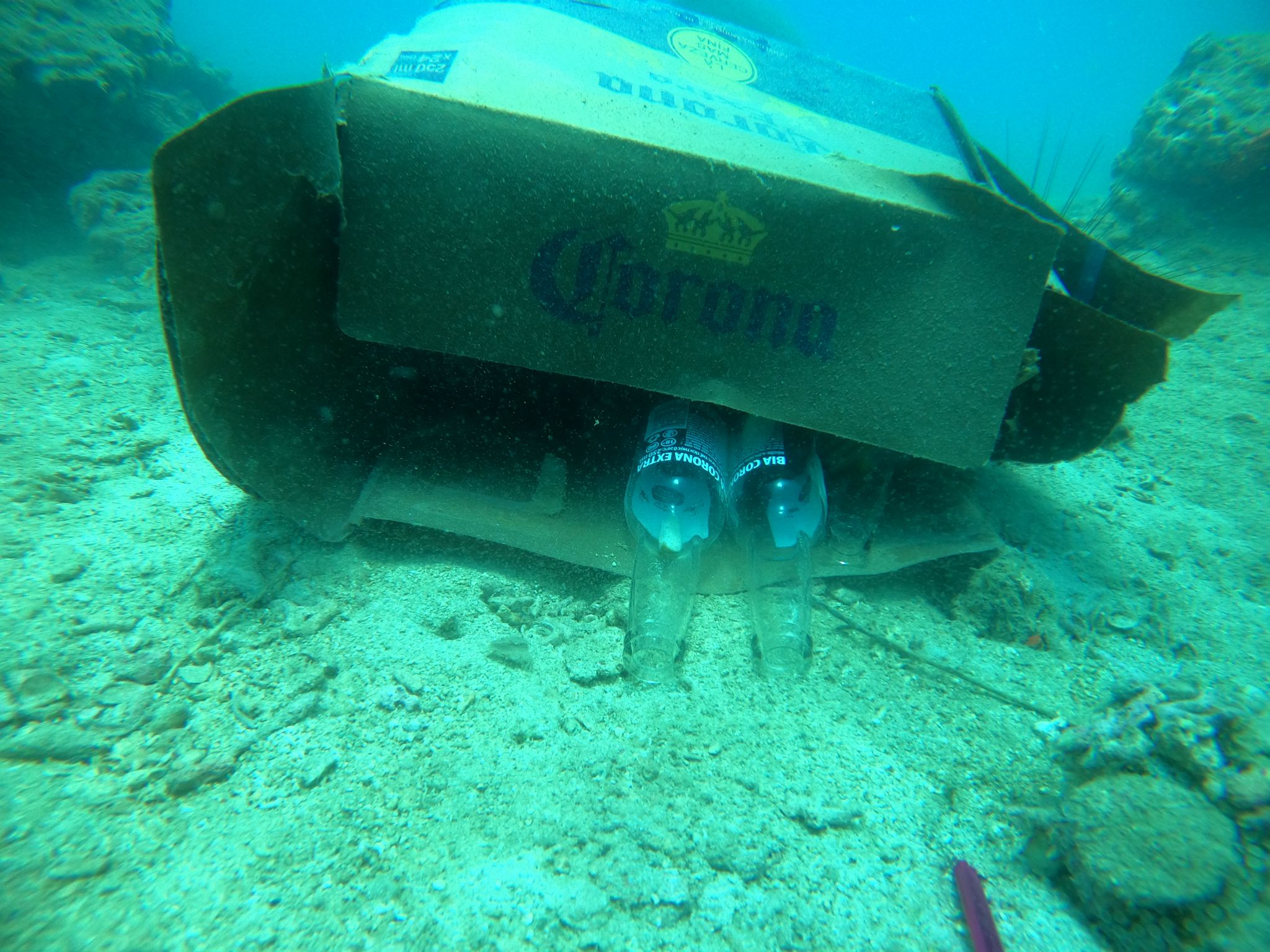
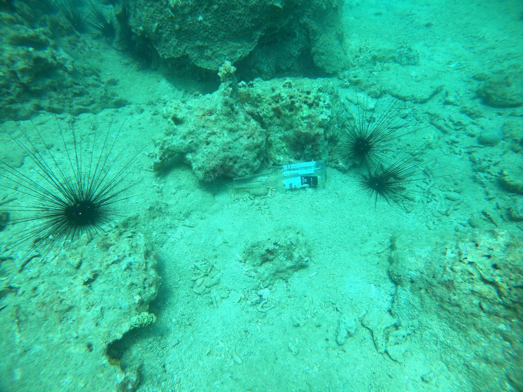
Beer cans
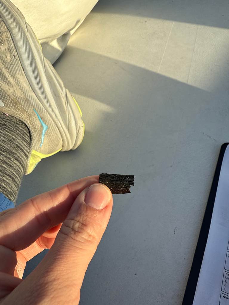
Dock materials
Single use plastic
On
pounds
I have debris data to report
45
4
Calm (glassy to rippled) for waves 0 – 0.1 meter high
8
6
ft2
3
feet
other
2
3
3
3
12
79
3
16
7
State\Province
Maryland
City
Oakland
Map Help
Dive Location
If you know your survey site coordinates, enter them manually in decimal degrees using WGS84 Map Datum. Use the minus sign for latitudes south of the equator and longitudes west of the Prime Meridian to 180 degrees.
If you do not know your survey site coordinates, click the “Map Location” tab to use the map to zoom into your survey site and drop the pin on the map to fall within your survey dive site in the water (not on land or the beach). Ensure you zoom in as much as possible to ensure data accuracy.
Entangled Help
Use the vertical tabs below to record any entangled animals you found of each type.
Ecosystem Other
Silt, seagrass, rocky