Menu

Point Panic

0
0
0
0

21.290513, -157.8609787

0
0
0
sand
0
0
0
6
0
No
No
No
Fishing weight
Sun
James Delecki
0
0
0
0
0
0
0
0
0
0
0
0
0
0
0
0
0
0
0
1
0
0
0
0
0
0
1
0
0
0
0
0
0
0
0
0
5.00
60
20.00
5.00
0
measured
0
30
2825.16
0
0
0
0
0
Fishing gear
0
On
pounds
0
I have debris data to report
0
0
0
Slight for waves 0.5 -1.25 meter high
0
0
0
0
0
0
0
m2
0
0
feet
rocky reef
1
0
0
0
0
0
0
0
0
0
0
0
0
0
0
0
0
0
0
0
0
0
12
0
0
0
0
0
0
United States
State\Province
Hawaii
City
Honolulu
Map Help


Dive Location

If you know your survey site coordinates, enter them manually in decimal degrees using WGS84 Map Datum. Use the minus sign for latitudes south of the equator and longitudes west of the Prime Meridian to 180 degrees.

If you do not know your survey site coordinates, click the “Map Location” tab to use the map to zoom into your survey site and drop the pin on the map to fall within your survey dive site in the water (not on land or the beach). Ensure you zoom in as much as possible to ensure data accuracy.

Entangled Help


Use the vertical tabs below to record any entangled animals you found of each type.

8 Cascades

0
6
0
0

22.8941671, -109.8933394

0
0
0
sand
0
0
0
0
0
Bad Weather
Dive Ninjas
Aitor
0
0
0
1
0
0
0
0
0
0
0
0
0
0
0
0
0
0
0
8
0
0
1
0
0
0
2
0
0
0
0
0
0
0
0
0
40.00
45
80.00
15.00
4
estimated
0
0
0
0
23330.00
0
0
0
1
0
0
On
pounds
0
I have debris data to report
1
0
0
Smooth (wavelets) for waves 0.1 - 0.5 meter high
2
0
0
0
4
0
0
ft2
2
0
feet
rocky reef
0
0
0
0
0
0
8
0
0
0
0
0
3
0
0
0
2
0
0
0
0
0
2
2
0
0
0
0
0
Mexico
State\Province
Baja California
City
Cabo San Lucas
Map Help


Dive Location

If you know your survey site coordinates, enter them manually in decimal degrees using WGS84 Map Datum. Use the minus sign for latitudes south of the equator and longitudes west of the Prime Meridian to 180 degrees.

If you do not know your survey site coordinates, click the “Map Location” tab to use the map to zoom into your survey site and drop the pin on the map to fall within your survey dive site in the water (not on land or the beach). Ensure you zoom in as much as possible to ensure data accuracy.

Entangled Help


Use the vertical tabs below to record any entangled animals you found of each type.

Empacadora

0
8
0
1

22.886915, -109.903654

2
0
0
sand
0
0
0
5
0
No
Needs sunglasses option
Sunglasses
Bad
Dive Ninja Expedition
Aitor Diaz
0
0
0
0
2
0
0
0
3
1
1
0
0
0
0
0
0
2
1
8
0
0
1
0
0
0
5
0
0
4
0
0
0
0
0
0
60.00
45
63.60
5.00
1
estimated
0
0
0
5
430.94
0
0
0
2
0
Cans
Rope
Plastic
4
On
pounds
0
I have debris data to report
3
0
0
Calm (glassy to rippled) for waves 0 – 0.1 meter high
0
0
1
0
2
0
0
m2
1
4
feet
rocky reef
3
0
0
0
0
0
0
3
0
2
1
0
0
0
0
0
0
46
0
0
0
0
1
0
0
0
0
0
0
Mexico
State\Province
Baja California
City
Cabo
Map Help


Dive Location

If you know your survey site coordinates, enter them manually in decimal degrees using WGS84 Map Datum. Use the minus sign for latitudes south of the equator and longitudes west of the Prime Meridian to 180 degrees.

If you do not know your survey site coordinates, click the “Map Location” tab to use the map to zoom into your survey site and drop the pin on the map to fall within your survey dive site in the water (not on land or the beach). Ensure you zoom in as much as possible to ensure data accuracy.
Entangled Help


Use the vertical tabs below to record any entangled animals you found of each type.

Lighthouse / Bannerfish Bay

1
130
0
0

28.498747, 34.51991

0
0
0
sand
0
0
0
0
0
Long weekend
Hotel room key
Windy and hot
27
3
1
1
1
Chewing gum
False nails
Wet wipes
Hotel room key
Small drink carton
Red Sea Tribe
Rachel Shelley
0
0
0
7
350
0
0
0
0
0
0
0
0
6
0
0
0
0
92
6
0
0
0
0
0
0
1
0
0
0
0
0
0
0
0
0
2.00
44
15.00
1.00
0
estimated
0
0
2194.40
0
0
0
0
0
Cigarette butts
Plastic fragments
Paper / card fragments
0
On
kilograms
0
I have debris data to report
0
0
0
Smooth (wavelets) for waves 0.1 - 0.5 meter high
1
0
0
0
22
0
0
m2
0
0
meters
coral reef
9
0
0
0
0
12
0
7
0
0
0
0
0
15
0
0
0
0
0
0
0
0
45
0
0
0
0
0
0
Egypt
State\Province
South Sinai
City
Dahab
Map Help


Dive Location

If you know your survey site coordinates, enter them manually in decimal degrees using WGS84 Map Datum. Use the minus sign for latitudes south of the equator and longitudes west of the Prime Meridian to 180 degrees.

If you do not know your survey site coordinates, click the “Map Location” tab to use the map to zoom into your survey site and drop the pin on the map to fall within your survey dive site in the water (not on land or the beach). Ensure you zoom in as much as possible to ensure data accuracy.

Entangled Help


Use the vertical tabs below to record any entangled animals you found of each type.

Ft Wetherill

1
0
0
0

41.478808, -71.361853

1
0
1
sand
0
0
0
0
0
Littering.
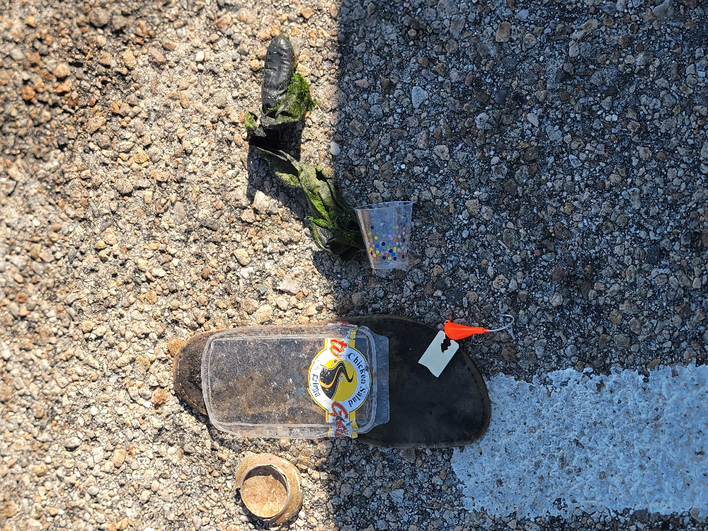
Shoe insole.
1
Shoe insole
Dive On It Scuba
Seamus Hastings
0
0
0
1
0
0
0
0
0
0
0
0
0
0
0
0
0
0
0
2
0
0
0
0
0
0
0
0
0
0
0
0
0
0
0
0
1.00
40
23.00
3.00
0
estimated
0
0
0
0
11714.80
0
0
0
0
0
Plastic food container
0
On
pounds
0
I have debris data to report
0
0
0
Calm (glassy to rippled) for waves 0 – 0.1 meter high
0
0
0
0
0
0
0
m2
0
0
feet
seagrass
0
0
0
0
0
1
0
0
0
0
0
0
0
0
0
0
0
0
0
0
0
0
0
0
0
0
0
0
0
United States
State\Province
Rhode Island
City
Jamestown
Map Help


Dive Location

If you know your survey site coordinates, enter them manually in decimal degrees using WGS84 Map Datum. Use the minus sign for latitudes south of the equator and longitudes west of the Prime Meridian to 180 degrees.

If you do not know your survey site coordinates, click the “Map Location” tab to use the map to zoom into your survey site and drop the pin on the map to fall within your survey dive site in the water (not on land or the beach). Ensure you zoom in as much as possible to ensure data accuracy.

Entangled Help


Use the vertical tabs below to record any entangled animals you found of each type.

Sunabe South Steps #319871

1
25
1
0

26.321757803006, 127.74785794152

0
0
0
coral
0
1
0
1
0
No
Rain
Tsunami Scuba
Patricia Shelton
0
0
0
0
1
0
0
0
1
0
0
0
0
0
0
0
0
2
0
3
0
0
0
0
0
0
1
0
0
0
1
0
0
0
0
0
4.00
70
41.00
5.00
2
measured
0
2
54836.70
0
0
0
1
0
Plastic
Metal
0
On
pounds
0
I have debris data to report
0
0
0
Smooth (wavelets) for waves 0.1 - 0.5 meter high
0
0
0
0
4
1
0
ft2
1
0
feet
coral reef
11
0
0
0
0
5
0
0
0
0
0
0
0
0
0
2
0
4
0
0
0
0
3
0
0
0
0
0
0
Japan
State\Province
AP
City
FPO
Map Help


Dive Location

If you know your survey site coordinates, enter them manually in decimal degrees using WGS84 Map Datum. Use the minus sign for latitudes south of the equator and longitudes west of the Prime Meridian to 180 degrees.

If you do not know your survey site coordinates, click the “Map Location” tab to use the map to zoom into your survey site and drop the pin on the map to fall within your survey dive site in the water (not on land or the beach). Ensure you zoom in as much as possible to ensure data accuracy.

Entangled Help


Use the vertical tabs below to record any entangled animals you found of each type.

Diamond Beach

1
5

26.508958, 127.875922

sand
1
almost the same
Lagoon
Hiroaki Yamamoto
5
4
1.30
40
2.40
1.80
measured
200.00
fishing rope
1
On
kilograms
I have debris data to report
Smooth (wavelets) for waves 0.1 - 0.5 meter high
coral
20
coral
m2
meters
seagrass
1
Japan
State\Province
Okinawa
City
Onna
Map Help


Dive Location

If you know your survey site coordinates, enter them manually in decimal degrees using WGS84 Map Datum. Use the minus sign for latitudes south of the equator and longitudes west of the Prime Meridian to 180 degrees.

If you do not know your survey site coordinates, click the “Map Location” tab to use the map to zoom into your survey site and drop the pin on the map to fall within your survey dive site in the water (not on land or the beach). Ensure you zoom in as much as possible to ensure data accuracy.

Entangled Help


Use the vertical tabs below to record any entangled animals you found of each type.

Horse Shose

26.504703, 127.845915

rock
1
1
fishing
almoat the same
Lagoon
Hiroaki Yamamoto
5
0.40
45
12.60
7.00
measured
200.00
fishing rope
On
kilograms
I have debris data to report
Smooth (wavelets) for waves 0.1 - 0.5 meter high
1
coral
20
Coral
m2
meters
coral reef
1
Japan
State\Province
Okinawa
City
Onna
Map Help


Dive Location

If you know your survey site coordinates, enter them manually in decimal degrees using WGS84 Map Datum. Use the minus sign for latitudes south of the equator and longitudes west of the Prime Meridian to 180 degrees.

If you do not know your survey site coordinates, click the “Map Location” tab to use the map to zoom into your survey site and drop the pin on the map to fall within your survey dive site in the water (not on land or the beach). Ensure you zoom in as much as possible to ensure data accuracy.

Entangled Help


Use the vertical tabs below to record any entangled animals you found of each type.

Sand triangel

0
0
0
0

26.226037282974, 127.36546927699

0
0
0
sand
0
0
0
0
0
Sun
Blue Vista Dive
Chih Chih Kung
0
0
0
0
0
0
0
0
0
0
0
0
0
0
0
0
0
0
0
2
0
0
0
0
0
0
1
0
1
0
0
0
0
0
0
0
0.50
35
13.00
4.00
0
estimated
0
0
680.84
0
0
0
0
0
0
On
kilograms
0
I have debris data to report
0
0
0
Calm (glassy to rippled) for waves 0 – 0.1 meter high
0
0
0
0
0
0
0
m2
0
0
meters
coral reef
0
0
0
0
0
0
0
0
0
0
0
0
0
0
0
0
0
0
0
0
0
0
0
0
0
0
0
0
0
Japan
State\Province
Okinawa
City
Tokashiki village
Map Help


Dive Location

If you know your survey site coordinates, enter them manually in decimal degrees using WGS84 Map Datum. Use the minus sign for latitudes south of the equator and longitudes west of the Prime Meridian to 180 degrees.

If you do not know your survey site coordinates, click the “Map Location” tab to use the map to zoom into your survey site and drop the pin on the map to fall within your survey dive site in the water (not on land or the beach). Ensure you zoom in as much as possible to ensure data accuracy.

Entangled Help


Use the vertical tabs below to record any entangled animals you found of each type.

Scuba Republic House Reef

10

-0.44350884742634, 130.75421187414

sand
Sunny and raining sometimes
Indo Ocean Project
Juliette
4
1
1
3
6
-2
0.38
50
20.00
5.00
measured
1000.00
On
kilograms
I have debris data to report
Calm (glassy to rippled) for waves 0 – 0.1 meter high
1
m2
meters
coral reef
Indonesia
State\Province
West Papua
City
Waisai
Map Help


Dive Location

If you know your survey site coordinates, enter them manually in decimal degrees using WGS84 Map Datum. Use the minus sign for latitudes south of the equator and longitudes west of the Prime Meridian to 180 degrees.

If you do not know your survey site coordinates, click the “Map Location” tab to use the map to zoom into your survey site and drop the pin on the map to fall within your survey dive site in the water (not on land or the beach). Ensure you zoom in as much as possible to ensure data accuracy.

Entangled Help


Use the vertical tabs below to record any entangled animals you found of each type.

Subscribe to