Menu

Half Moon Bay/Al Amwaj

5
12
sand
8

26.113904276856, 49.992637170375

Abundant jellyfish at site. I am new to this area, so I do knot know whether this is normal, or they are in abundance due to a lack of local natural predators (i.e. turtles).

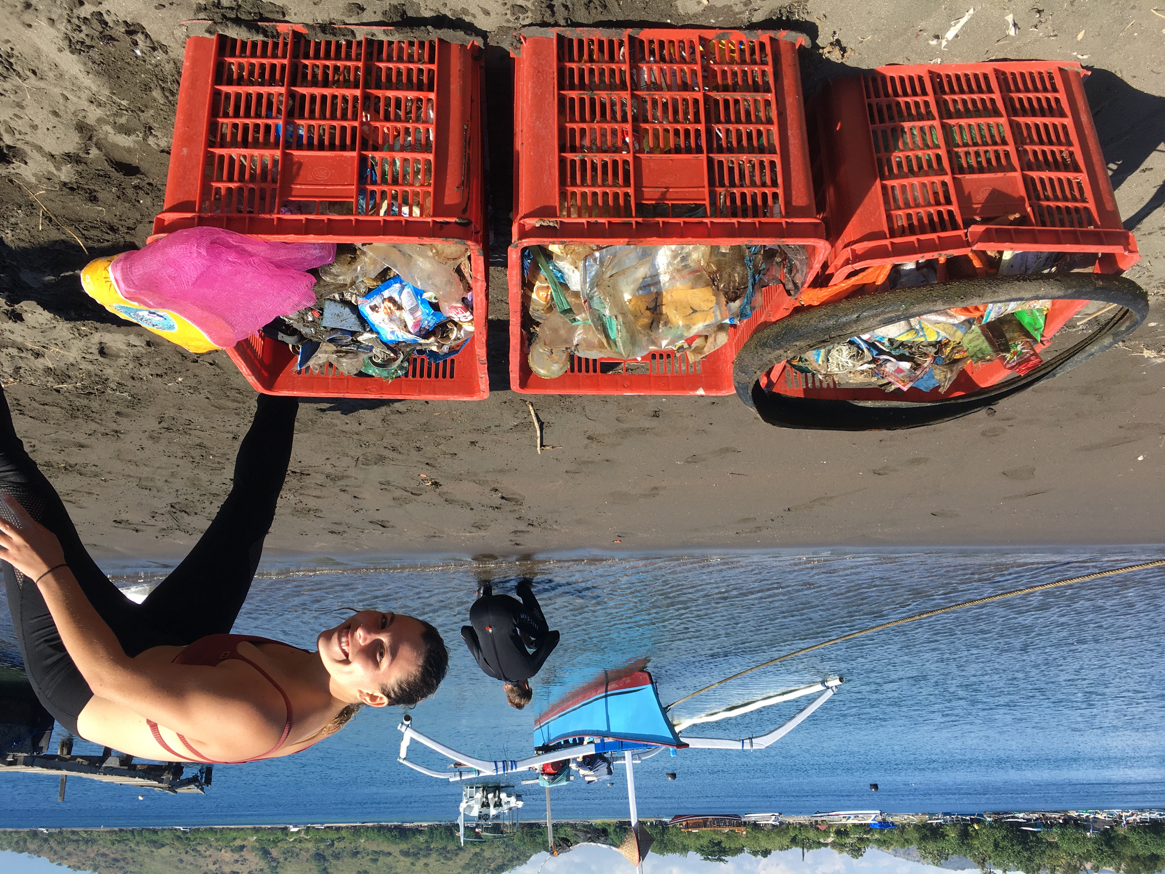
Beach used for picnics and barbecues
No evidence of single-use gloves or facemasks during dive, despite being most common form of debris onshore.
Wind conditions mainly 15-25 knots from the west and northwest, likely blowing a lot of the debris from shore to sea.
Groupers Sub Aqua Club
Jan Ziolo
2
2
0.40
65
6.20
1.50
estimated
100.00
Single use plastic bags
Discarded single use plastic cups
Single use plastic bottles - left in situ as many being used by marine life
On
kilograms
I have debris data to report
Calm (glassy to rippled) for waves 0 – 0.1 meter high m2
meters
seagrass
2
Saudi Arabia
State\Province
Eastern Province
City
Khobar
Map Help


Dive Location

If you know your survey site coordinates, enter them manually in decimal degrees using WGS84 Map Datum. Use the minus sign for latitudes south of the equator and longitudes west of the Prime Meridian to 180 degrees.

If you do not know your survey site coordinates, click the “Map Location” tab to use the map to zoom into your survey site and drop the pin on the map to fall within your survey dive site in the water (not on land or the beach). Ensure you zoom in as much as possible to ensure data accuracy.

Entangled Help


Use the vertical tabs below to record any entangled animals you found of each type.

Devils Fork State Park

2
0
0

34.951671998325, -82.947515000403

0
0
0
sand
0
0
0
0
0
Rec Boat Traffic
Clear
0
0
0
0
0
0
0
0
0
0
0
0
0
0
0
0
0
0
0
20 000 leagues scuba and aquatics
Chris Hartman
0
0
0
2
0
0
0
0
0
0
0
0
0
0
0
0
0
0
0
5
0
0
0
0
0
0
0
0
0
0
0
0
0
0
6.00
30
30.00
10.00
0
estimated
0
0
4754.77
0
0
0
0
0
Coke Cans
Water Bottles
0
On
pounds
0
I have debris data to report
2
0
0
Smooth (wavelets) for waves 0.1 - 0.5 meter high
0
0
0
0
1
0
0
m2
0
0
feet
other
0
0
0
0
0
0
0
0
0
0
0
0
0
0
0
0
4
0
0
0
0
0
0
0
0
0
0
0
United States
State\Province
SC
City
Salem
Map Help


Dive Location

If you know your survey site coordinates, enter them manually in decimal degrees using WGS84 Map Datum. Use the minus sign for latitudes south of the equator and longitudes west of the Prime Meridian to 180 degrees.

If you do not know your survey site coordinates, click the “Map Location” tab to use the map to zoom into your survey site and drop the pin on the map to fall within your survey dive site in the water (not on land or the beach). Ensure you zoom in as much as possible to ensure data accuracy.

Entangled Help


Use the vertical tabs below to record any entangled animals you found of each type.

ADS490 - Namae Beach

15
39
5

37.93868, 128.78946

48
2
rock
4
5
5

37.938680808174, 128.78946304321

2
1
1
Plastic gloves
Plastic Razor
Fishing Pole Bag
Oceankind / Namae Scuba Resort
Yongkyu Kim
6
3
1
4
5
1
4
7.00
50
6.00
1.00
1
estimated
1
27
1500.00
2
On
kilograms
I have debris data to report
Calm (glassy to rippled) for waves 0 – 0.1 meter high
2
31
3
m2
meters
rocky reef
1
1
South Korea
State\Province
Gangwon-do
City
Yangyang
Map Help


Dive Location

If you know your survey site coordinates, enter them manually in decimal degrees using WGS84 Map Datum. Use the minus sign for latitudes south of the equator and longitudes west of the Prime Meridian to 180 degrees.

If you do not know your survey site coordinates, click the “Map Location” tab to use the map to zoom into your survey site and drop the pin on the map to fall within your survey dive site in the water (not on land or the beach). Ensure you zoom in as much as possible to ensure data accuracy.

Entangled Help


Use the vertical tabs below to record any entangled animals you found of each type.

Macro Jetty Pemuteran

300
50
50
3

-8.1430143810895, 114.66075932433

2
sand
150

-8.1431153701642, 114.66106541972

Good Visibiity
Friends of Pemuteran
Maxime Fauque
5
40
5
10
2
10
6
4
10
9
2
50.00
60
10.00
2.00
estimated
3
150.00
1
On
kilograms
I have debris data to report
3
Calm (glassy to rippled) for waves 0 – 0.1 meter high
2
fish net
Crabs
Released Unharmed
4
3
m2
5
food plastics
sea urchin
Released Unharmed
meters
other
3
4
Indonesia
State\Province
Bali
City
Pemuteran
Map Help


Dive Location

If you know your survey site coordinates, enter them manually in decimal degrees using WGS84 Map Datum. Use the minus sign for latitudes south of the equator and longitudes west of the Prime Meridian to 180 degrees.

If you do not know your survey site coordinates, click the “Map Location” tab to use the map to zoom into your survey site and drop the pin on the map to fall within your survey dive site in the water (not on land or the beach). Ensure you zoom in as much as possible to ensure data accuracy.

Entangled Help


Use the vertical tabs below to record any entangled animals you found of each type.

Ecosystem Other
sandy

ADS10 - Ørneset

67.225682, 14.616451

3
rock
10
Saltstraumen DykkeCamp
Fredric Ihrsen
2
1.90
56
22.00
1.00
measured
26
2500.00
On
kilograms
I have debris data to report
Smooth (wavelets) for waves 0.1 - 0.5 meter high m2
meters
kelp
Norway
Map Help


Dive Location

If you know your survey site coordinates, enter them manually in decimal degrees using WGS84 Map Datum. Use the minus sign for latitudes south of the equator and longitudes west of the Prime Meridian to 180 degrees.

If you do not know your survey site coordinates, click the “Map Location” tab to use the map to zoom into your survey site and drop the pin on the map to fall within your survey dive site in the water (not on land or the beach). Ensure you zoom in as much as possible to ensure data accuracy.

Entangled Help


Use the vertical tabs below to record any entangled animals you found of each type.

ADS116 - Tunnelen

67.234674, 14.604692

11
rock
1
17
Saltstraumen DykkeCamp
Fredric Ihrsen
4
3.60
58
27.00
5.00
measured
46
3000.00
On
kilograms
I have debris data to report
Smooth (wavelets) for waves 0.1 - 0.5 meter high m2
meters
kelp
1
Norway
Map Help


Dive Location

If you know your survey site coordinates, enter them manually in decimal degrees using WGS84 Map Datum. Use the minus sign for latitudes south of the equator and longitudes west of the Prime Meridian to 180 degrees.

If you do not know your survey site coordinates, click the “Map Location” tab to use the map to zoom into your survey site and drop the pin on the map to fall within your survey dive site in the water (not on land or the beach). Ensure you zoom in as much as possible to ensure data accuracy.

Entangled Help


Use the vertical tabs below to record any entangled animals you found of each type.

Sumay Cove

1
3
0

13.443878, 144.656084

0
0
0
coral
0
1
0
18
0
0
0
0
0
0
0
0
0
0
0
0
0
0
0
0
0
0
0
0
0
Jake Sullivan
1
0
0
0
0
0
0
0
0
0
0
0
0
0
0
0
0
0
3
1
0
0
0
0
0
0
0
0
0
0
0
0
0
0
5.70
93
27.00
3.50
0
measured
0
2
2289.84
0
0
0
0
0
Beverage containers
Fishing equipment
0
On
kilograms
0
I have debris data to report
0
0
0
Smooth (wavelets) for waves 0.1 - 0.5 meter high
0
0
0
0
0
0
0
m2
0
0
meters
rocky reef
2
0
0
0
0
0
0
0
0
0
0
0
0
0
0
0
12
0
0
0
0
0
0
0
0
0
0
0
Guam
State\Province
Guam
City
Santa Rita
Map Help


Dive Location

If you know your survey site coordinates, enter them manually in decimal degrees using WGS84 Map Datum. Use the minus sign for latitudes south of the equator and longitudes west of the Prime Meridian to 180 degrees.

If you do not know your survey site coordinates, click the “Map Location” tab to use the map to zoom into your survey site and drop the pin on the map to fall within your survey dive site in the water (not on land or the beach). Ensure you zoom in as much as possible to ensure data accuracy.

Entangled Help


Use the vertical tabs below to record any entangled animals you found of each type.

ADS254 - Flinders Pier

6
50
seagrass
1
1
80

-38.475552085097, 145.0261080265

First cleanup dive since lockdown in March (4 months), no foot traffic on pier, fishermen or boats utilising the pier, so we expected to find little rubbish underwater...unfortunately we were wrong :(
Corn cob!
Calm, light winds, no rain
1
1
Scissors
Ray ban Sunglasses
Ocean Divers
Jane Bowman & Liz Harper
1
3
1
1
2
1
21
1
3
5
40.00
80
4.00
0.00
2
estimated
12
35
50.00
1
Glass bottles
Fishing line and lures
Cylume sticks
8
On
kilograms
I have debris data to report
14
Smooth (wavelets) for waves 0.1 - 0.5 meter high m2
1
5
meters
seagrass
15
7
27
3
4
3
3
4
14
7
2
Australia
State\Province
Victoria
City
Bentleigh East
Map Help


Dive Location

If you know your survey site coordinates, enter them manually in decimal degrees using WGS84 Map Datum. Use the minus sign for latitudes south of the equator and longitudes west of the Prime Meridian to 180 degrees.

If you do not know your survey site coordinates, click the “Map Location” tab to use the map to zoom into your survey site and drop the pin on the map to fall within your survey dive site in the water (not on land or the beach). Ensure you zoom in as much as possible to ensure data accuracy.

Entangled Help


Use the vertical tabs below to record any entangled animals you found of each type.

Niagra River Train Bridge

0
0
0
0

42.911304, -78.908247

0
0
0
rock
0
0
0
0
0
This was a drift dive.
No
N/A
Sun calm
Float N Flag
Jason Campbell
0
0
0
0
0
0
0
0
0
0
0
0
0
0
0
0
0
0
0
2
0
0
0
0
0
0
0
0
0
0
0
0
0
0
0
0
2.00
37
20.00
10.00
0
estimated
0
0
0
0
511211.00
0
0
0
0
0
Beer Bottles
0
On
pounds
0
I have debris data to report
2
0
0
Slight for waves 0.5 -1.25 meter high
0
0
0
0
0
0
0
ft2
0
0
feet
seagrass
0
0
0
0
0
0
0
0
0
0
0
0
0
0
0
0
0
0
0
0
0
0
0
0
0
0
0
0
0
Canada
State\Province
Ontario
City
Fort Erie
Map Help


Dive Location

If you know your survey site coordinates, enter them manually in decimal degrees using WGS84 Map Datum. Use the minus sign for latitudes south of the equator and longitudes west of the Prime Meridian to 180 degrees.

If you do not know your survey site coordinates, click the “Map Location” tab to use the map to zoom into your survey site and drop the pin on the map to fall within your survey dive site in the water (not on land or the beach). Ensure you zoom in as much as possible to ensure data accuracy.

Entangled Help


Use the vertical tabs below to record any entangled animals you found of each type.

ADS656 - Edithburgh Jetty

0
6
0

-35.084931703435, 137.7488066297

3
0
0
sand
0
0
0
3
0
No
Golf ball
Calm
0
0
0
0
0
0
0
0
0
0
0
0
0
0
0
0
0
0
0
0
Underwater Sports Diving Centre
Wayne Rosenboom
0
0
0
0
0
0
0
0
0
0
0
0
0
0
0
0
0
0
0
2
0
0
1
0
0
0
0
0
0
0
0
0
0
0
12.50
71
5.00
3.00
0
measured
0
2
300.00
0
0
0
1
0
Glass
1
On
kilograms
0
I have debris data to report
0
0
0
Smooth (wavelets) for waves 0.1 - 0.5 meter high
0
0
0
0
0
0
0
m2
0
0
meters
seagrass
1
0
0
0
1
6
0
0
0
0
0
0
0
0
0
0
0
0
0
0
0
547
0
0
0
0
0
0
Australia
State\Province
South Australia
City
Edithburgh
Map Help


Dive Location

If you know your survey site coordinates, enter them manually in decimal degrees using WGS84 Map Datum. Use the minus sign for latitudes south of the equator and longitudes west of the Prime Meridian to 180 degrees.

If you do not know your survey site coordinates, click the “Map Location” tab to use the map to zoom into your survey site and drop the pin on the map to fall within your survey dive site in the water (not on land or the beach). Ensure you zoom in as much as possible to ensure data accuracy.

Entangled Help


Use the vertical tabs below to record any entangled animals you found of each type.

Subscribe to