Menu

Batu Bolong

0
0
0
0

-8.53608, 119.613991

0
0
0
coral
0
0
0
0
0
Calm
1
Fishing materials
Azul Komodo
Ricky Cuesta
0
0
0
0
0
0
0
0
0
0
0
0
0
0
0
0
0
0
0
3
0
0
0
0
0
0
0
0
0
0
0
0
0
0
0
0
1.00
60
25.00
1.00
0
estimated
0
0
300.00
0
0
0
0
0
0
On
kilograms
0
I have debris data to report
0
0
0
Calm (glassy to rippled) for waves 0 – 0.1 meter high
0
0
0
0
0
0
0
m2
0
0
meters
coral reef
0
0
0
0
0
0
0
0
0
0
0
0
0
0
0
0
0
0
0
0
0
0
0
0
0
0
0
0
0
Indonesia
State\Province
Manggarai Barat
City
Labuan Bajo
Map Help


Dive Location

If you know your survey site coordinates, enter them manually in decimal degrees using WGS84 Map Datum. Use the minus sign for latitudes south of the equator and longitudes west of the Prime Meridian to 180 degrees.

If you do not know your survey site coordinates, click the “Map Location” tab to use the map to zoom into your survey site and drop the pin on the map to fall within your survey dive site in the water (not on land or the beach). Ensure you zoom in as much as possible to ensure data accuracy.

Entangled Help


Use the vertical tabs below to record any entangled animals you found of each type.

Wong Deun

sand
6

12.523382103039, 100.97150627164

Scuba MHEE Freediving
Supoj
30
10.00
55
18.00
5.00
estimated
500.00
On
kilograms
I have debris data to report
8
Slight for waves 0.5 -1.25 meter high
5
m2
meters
coral reef
Thailand
Map Help


Dive Location

If you know your survey site coordinates, enter them manually in decimal degrees using WGS84 Map Datum. Use the minus sign for latitudes south of the equator and longitudes west of the Prime Meridian to 180 degrees.

If you do not know your survey site coordinates, click the “Map Location” tab to use the map to zoom into your survey site and drop the pin on the map to fall within your survey dive site in the water (not on land or the beach). Ensure you zoom in as much as possible to ensure data accuracy.
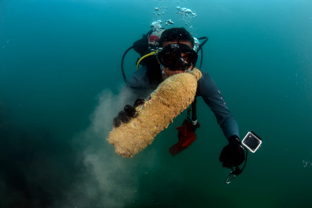
Entangled Help


Use the vertical tabs below to record any entangled animals you found of each type.

Pileh Wall

0
0
0
1

7.684999, 98.768719

0
0
0
coral
0
6
1
5
0
Yes monsoo
Plastic items
Typhoon
36215, BLUE VIEW DIVERS
Caroline Lecky
1
0
0
2
0
0
0
0
0
0
0
0
0
0
0
0
0
2
0
2
0
0
0
0
2
2
3
0
0
0
1
0
0
0
0
0
5.00
20
3.00
1.00
3
estimated
0
0
0
0
7948.09
0
0
0
0
0
Plastic bags
Bottles
0
On
kilograms
0
I have debris data to report
0
0
0
Calm (glassy to rippled) for waves 0 – 0.1 meter high
0
0
0
0
0
0
0
m2
0
0
meters
coral reef
0
0
0
0
0
0
0
0
0
0
0
0
0
0
0
0
0
0
0
0
0
0
0
0
0
0
0
0
0
Thailand
State\Province
Krabi
City
Phi Phi
Map Help


Dive Location

If you know your survey site coordinates, enter them manually in decimal degrees using WGS84 Map Datum. Use the minus sign for latitudes south of the equator and longitudes west of the Prime Meridian to 180 degrees.

If you do not know your survey site coordinates, click the “Map Location” tab to use the map to zoom into your survey site and drop the pin on the map to fall within your survey dive site in the water (not on land or the beach). Ensure you zoom in as much as possible to ensure data accuracy.
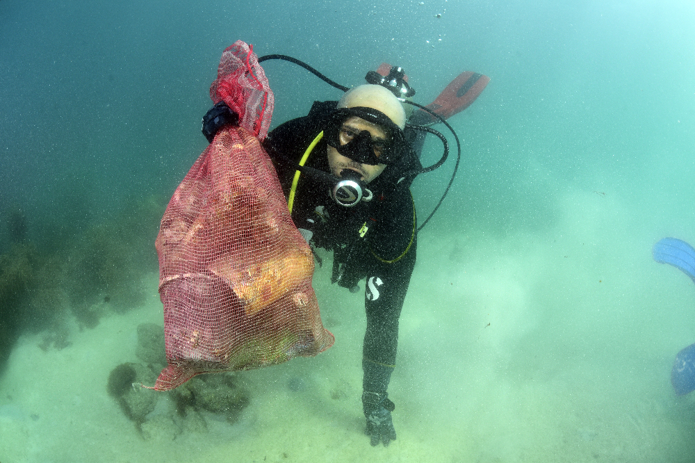
Entangled Help


Use the vertical tabs below to record any entangled animals you found of each type.

La Cienaga De Ocumare

5
145
0
0

10.47289, -67.808705

11
0
0
coral
0
0
0
6
2
Sunny
Arrecifes De Venezuela/ Pilardive
Arrecifes De Venezuela
4
1
0
41
0
0
0
0
3
0
0
0
0
0
0
0
0
18
0
44
0
0
0
0
0
0
12
0
0
24
0
0
0
0
0
0
131.00
50
18.00
3.00
0
measured
1
0
0
0
6885.41
0
3
0
2
0
Plastic
Fishing gear
0
On
kilograms
0
I have debris data to report
44
0
1
Calm (glassy to rippled) for waves 0 – 0.1 meter high
0
0
2
0
0
0
2
m2
0
0
meters
coral reef
13
0
0
0
0
0
0
0
0
2
0
0
0
0
0
0
0
81
0
0
0
0
19
0
0
0
0
0
0
Venezuela
State\Province
Aragua
City
Ocumare De La Costa
Map Help


Dive Location

If you know your survey site coordinates, enter them manually in decimal degrees using WGS84 Map Datum. Use the minus sign for latitudes south of the equator and longitudes west of the Prime Meridian to 180 degrees.

If you do not know your survey site coordinates, click the “Map Location” tab to use the map to zoom into your survey site and drop the pin on the map to fall within your survey dive site in the water (not on land or the beach). Ensure you zoom in as much as possible to ensure data accuracy.
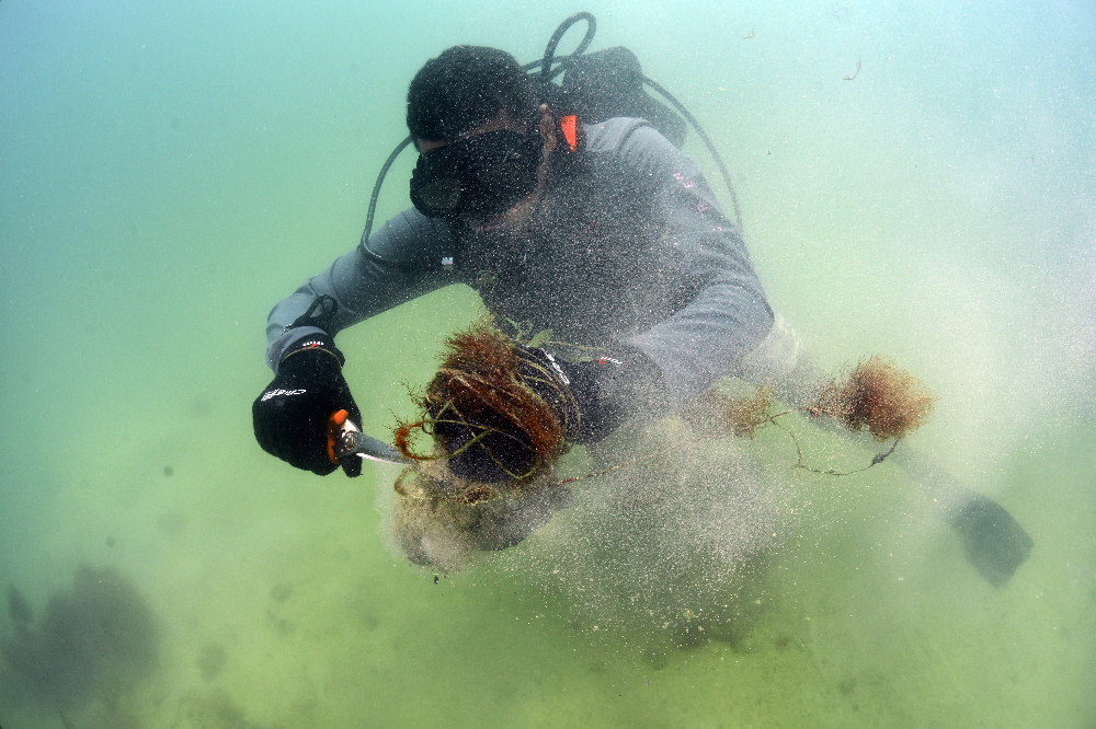
Entangled Help


Use the vertical tabs below to record any entangled animals you found of each type.

Lake Perris

33.86, -117.18

sand
Clear
Scuba Center Temecula
Neil Campbell
5
0.50
20
18.00
7.00
estimated
25.00
On
pounds
I have debris data to report
Calm (glassy to rippled) for waves 0 – 0.1 meter high m2
feet
other
1
United States
State\Province
Ca
City
Temecula
Map Help


Dive Location

If you know your survey site coordinates, enter them manually in decimal degrees using WGS84 Map Datum. Use the minus sign for latitudes south of the equator and longitudes west of the Prime Meridian to 180 degrees.

If you do not know your survey site coordinates, click the “Map Location” tab to use the map to zoom into your survey site and drop the pin on the map to fall within your survey dive site in the water (not on land or the beach). Ensure you zoom in as much as possible to ensure data accuracy.

Entangled Help


Use the vertical tabs below to record any entangled animals you found of each type.

Ecosystem Other
Sandy bottom

Lake Perris

33.8658383, -117.1842554

sand

33.863074916173, -117.19064712524

Crowded beach with people
Old trash bag
Clear
Scuba Center Temecula 20932
Alex Millan
5
2
1.00
20
18.00
7.00
estimated
25.00
1
On
pounds
I have debris data to report
Calm (glassy to rippled) for waves 0 – 0.1 meter high m2
feet
other
United States
State\Province
Ca
City
Temecula
Map Help


Dive Location

If you know your survey site coordinates, enter them manually in decimal degrees using WGS84 Map Datum. Use the minus sign for latitudes south of the equator and longitudes west of the Prime Meridian to 180 degrees.

If you do not know your survey site coordinates, click the “Map Location” tab to use the map to zoom into your survey site and drop the pin on the map to fall within your survey dive site in the water (not on land or the beach). Ensure you zoom in as much as possible to ensure data accuracy.
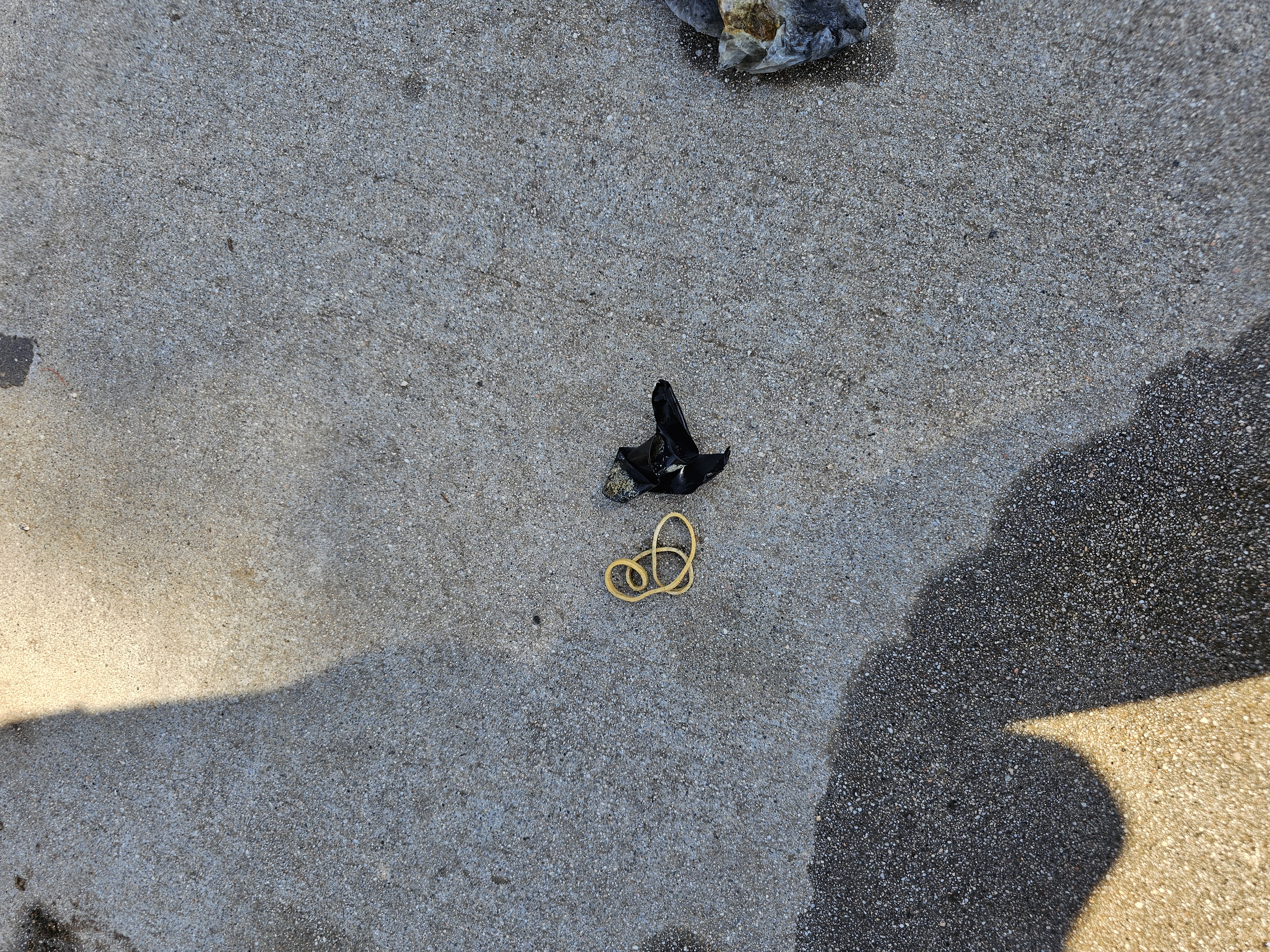
Entangled Help


Use the vertical tabs below to record any entangled animals you found of each type.

Ecosystem Other
Sandy bottom

Southern Comfort

1
0
0
0

12.024171010156, -61.761651154947

0
0
0
coral
0
0
0
1
0
No
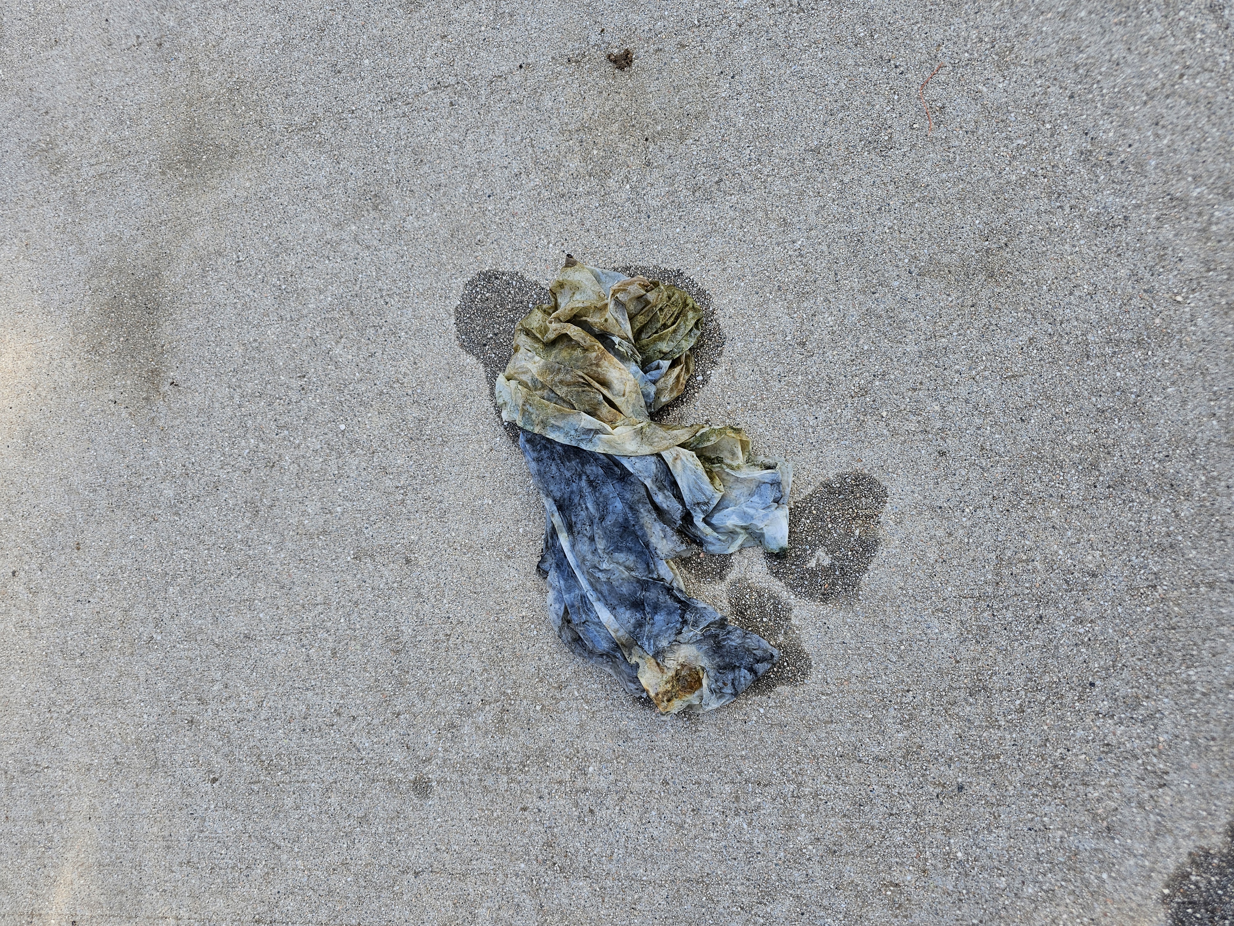
Piece of board
Calm
Eco Dive Grenada
Ariel
0
0
0
0
0
0
0
0
0
0
0
0
0
0
0
0
0
0
0
2
0
0
0
0
0
0
0
0
0
0
0
0
0
0
0
0
2.00
59
17.00
6.00
0
estimated
0
0
6694.04
0
0
0
0
0
Fishing line
Bottles
0
On
pounds
0
I have debris data to report
1
0
0
Calm (glassy to rippled) for waves 0 – 0.1 meter high
1
0
0
0
0
0
0
m2
0
0
meters
coral reef
0
0
0
0
0
0
0
0
0
0
0
0
0
0
0
0
0
0
0
0
0
0
0
0
0
0
0
0
0
Grenada
State\Province
St. George
City
Grand Anse
Map Help


Dive Location

If you know your survey site coordinates, enter them manually in decimal degrees using WGS84 Map Datum. Use the minus sign for latitudes south of the equator and longitudes west of the Prime Meridian to 180 degrees.

If you do not know your survey site coordinates, click the “Map Location” tab to use the map to zoom into your survey site and drop the pin on the map to fall within your survey dive site in the water (not on land or the beach). Ensure you zoom in as much as possible to ensure data accuracy.
Entangled Help


Use the vertical tabs below to record any entangled animals you found of each type.

Kamil Adası West Side

0
0
0
0

36.699742589817, 28.667706256697

0
0
0
rock
0
0
0
43
0
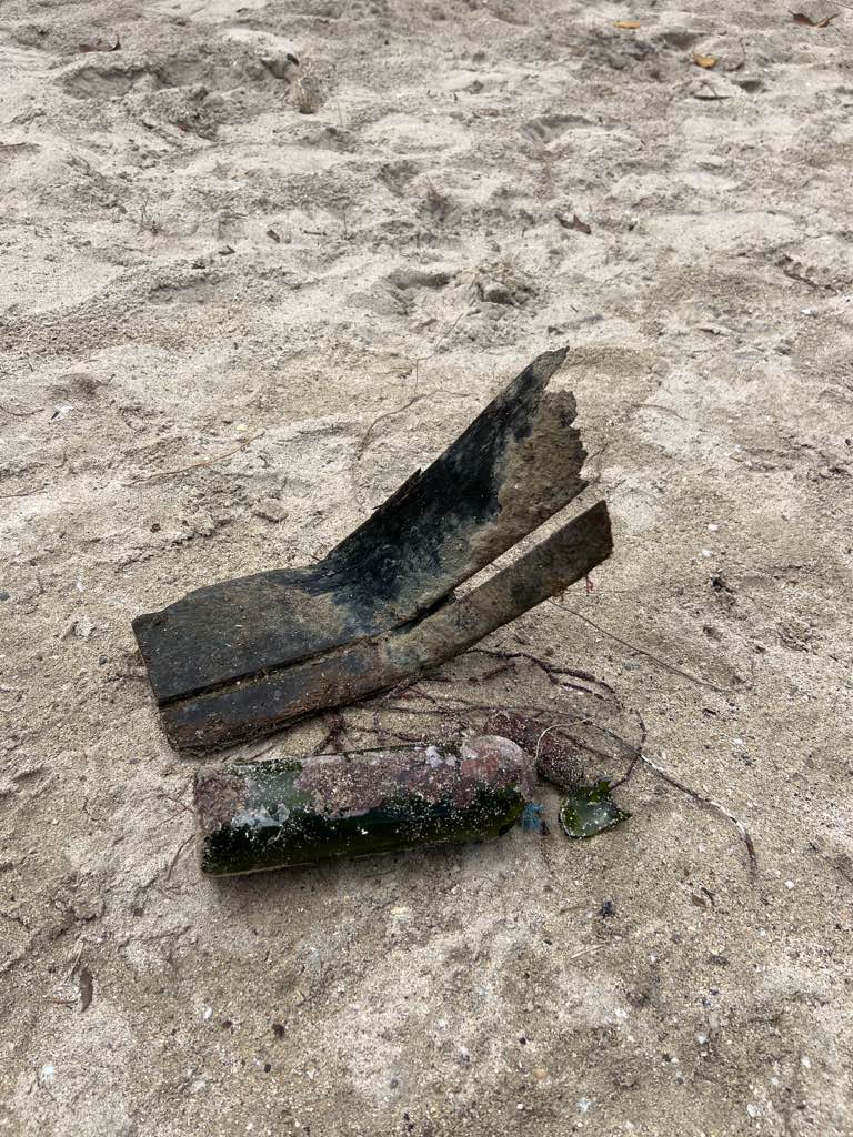
Lost by fishermen
Fine
Seahorse Dive centre
Mehmet Avcu
0
0
0
0
0
0
0
0
0
0
0
0
0
0
0
0
0
0
0
7
0
0
0
0
0
0
0
0
0
0
0
0
0
0
0
0
1.10
45
30.00
8.00
0
measured
0
8
4819.27
0
0
0
0
0
Fishing line
0
On
kilograms
0
I have debris data to report
0
0
0
Smooth (wavelets) for waves 0.1 - 0.5 meter high
0
0
0
0
0
0
0
m2
0
0
meters
rocky reef
0
0
0
0
0
0
0
0
0
1
0
0
0
0
0
0
0
0
0
0
0
0
0
0
0
0
0
0
0
Turkey
State\Province
Muğla
City
Sarıgerme
Map Help


Dive Location

If you know your survey site coordinates, enter them manually in decimal degrees using WGS84 Map Datum. Use the minus sign for latitudes south of the equator and longitudes west of the Prime Meridian to 180 degrees.

If you do not know your survey site coordinates, click the “Map Location” tab to use the map to zoom into your survey site and drop the pin on the map to fall within your survey dive site in the water (not on land or the beach). Ensure you zoom in as much as possible to ensure data accuracy.
Entangled Help


Use the vertical tabs below to record any entangled animals you found of each type.

Aşı Koyu/Bay

2
87
4
0

36.722432551711, 28.646788620753

0
0
0
gravel
0
0
1
0
0
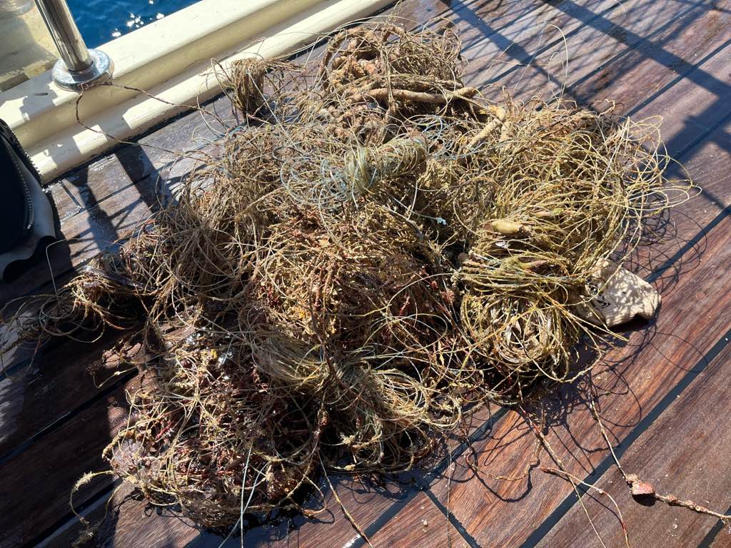
Dropped from daily boats
Fine
Seahorse dive centre
Mark Taylor
0
0
0
1
2
0
0
0
2
0
0
0
4
0
0
0
0
3
0
6
0
0
0
0
0
0
9
0
0
0
0
0
0
0
0
0
10.50
40
12.00
7.00
3
measured
0
1
6724.06
0
0
0
0
0
Plastic
5
On
kilograms
0
I have debris data to report
2
0
0
Smooth (wavelets) for waves 0.1 - 0.5 meter high
0
0
2
Clothing
Crab
Released Unharmed
3
0
0
0
0
m2
3
1
meters
rocky reef
26
0
0
0
0
1
0
3
0
3
0
0
0
3
0
1
0
7
0
0
2
0
3
0
0
0
0
0
0
Turkey
State\Province
Muğla
City
Sarıgerme
Map Help


Dive Location

If you know your survey site coordinates, enter them manually in decimal degrees using WGS84 Map Datum. Use the minus sign for latitudes south of the equator and longitudes west of the Prime Meridian to 180 degrees.

If you do not know your survey site coordinates, click the “Map Location” tab to use the map to zoom into your survey site and drop the pin on the map to fall within your survey dive site in the water (not on land or the beach). Ensure you zoom in as much as possible to ensure data accuracy.
Entangled Help


Use the vertical tabs below to record any entangled animals you found of each type.

Cynthiana Beach West (S23471)

3
sand

34.824840002555, 32.386567647984

Tourist area
Wavey
Cyprus Diving Adventures
Ryland
1
1
0.50
50
12.00
3.00
measured
8500.00
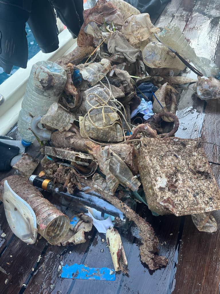
Fishing lures
fabric fragments
On
kilograms
I have debris data to report
Smooth (wavelets) for waves 0.1 - 0.5 meter high
1
m2
meters
rocky reef
Cyprus
State\Province
Limassol
City
Pissouri
Map Help


Dive Location

If you know your survey site coordinates, enter them manually in decimal degrees using WGS84 Map Datum. Use the minus sign for latitudes south of the equator and longitudes west of the Prime Meridian to 180 degrees.

If you do not know your survey site coordinates, click the “Map Location” tab to use the map to zoom into your survey site and drop the pin on the map to fall within your survey dive site in the water (not on land or the beach). Ensure you zoom in as much as possible to ensure data accuracy.
Entangled Help


Use the vertical tabs below to record any entangled animals you found of each type.

Subscribe to