Menu

The Pier

0
1
0

29.499821952928, 34.991383647917

0
0
0
coral
0
0
0
0
0
0
0
0
0
0
0
0
0
0
0
0
0
0
0
0
0
0
0
0
0
Ahlan Aqaba Scuba Diving Center
Magda
0
0
0
0
0
0
0
0
0
0
0
0
0
0
0
0
0
0
1
3
1
0
0
0
0
0
0
1
0
0
0
0
0
0
2.00
45
16.00
5.00
0
estimated
0
0
20.00
0
0
0
0
0
Plastic bags
0
On
kilograms
0
I have debris data to report
0
0
0
Calm (glassy to rippled) for waves 0 – 0.1 meter high
0
0
0
0
1
0
0
m2
0
0
meters
coral reef
0
0
0
0
0
0
0
0
0
0
0
0
0
0
0
0
3
0
0
0
0
0
0
0
0
0
0
0
Jordan
City
Aqaba
Map Help


Dive Location

If you know your survey site coordinates, enter them manually in decimal degrees using WGS84 Map Datum. Use the minus sign for latitudes south of the equator and longitudes west of the Prime Meridian to 180 degrees.

If you do not know your survey site coordinates, click the “Map Location” tab to use the map to zoom into your survey site and drop the pin on the map to fall within your survey dive site in the water (not on land or the beach). Ensure you zoom in as much as possible to ensure data accuracy.

Entangled Help


Use the vertical tabs below to record any entangled animals you found of each type.

ADS513 - Horseshoe

1

26.504645856914, 127.84525929079

rock
2
Mostly fisherman sitting on the reef everyday and trying to pick up fish for personal consumption
February which i winter season and the reason I could not do survey dive in the past few month as the weather was snot in favor of this location. And I'm super careful of trying to judge the condition of this location more careful with safety in mind due to unfortunate misjudgements in the past.
3
WW2 bullets/used shells
Piranha Divers Okinawa
Jan C. Weirauch
1
2
1
2.00
44
21.00
4.00
estimated
2
21
220.00
On
kilograms
I have debris data to report
Smooth (wavelets) for waves 0.1 - 0.5 meter high m2
meters
rocky reef
1
Japan
State\Province
Okinawa
City
Onna Village
Map Help


Dive Location

If you know your survey site coordinates, enter them manually in decimal degrees using WGS84 Map Datum. Use the minus sign for latitudes south of the equator and longitudes west of the Prime Meridian to 180 degrees.

If you do not know your survey site coordinates, click the “Map Location” tab to use the map to zoom into your survey site and drop the pin on the map to fall within your survey dive site in the water (not on land or the beach). Ensure you zoom in as much as possible to ensure data accuracy.

Entangled Help


Use the vertical tabs below to record any entangled animals you found of each type.

ADS513 - Horseshoe

1

26.504645856914, 127.84525929079

rock
2
Mostly fisherman sitting on the reef everyday and trying to pick up fish for personal consumption
February which i winter season and the reason I could not do survey dive in the past few month as the weather was snot in favor of this location. And I'm super careful of trying to judge the condition of this location more careful with safety in mind due to unfortunate misjudgements in the past.
3
WW2 bullets/used shells
Piranha Divers Okinawa
Jan C. Weirauch
1
2
1
2.00
44
21.00
4.00
estimated
2
21
220.00
On
kilograms
I have debris data to report
Smooth (wavelets) for waves 0.1 - 0.5 meter high m2
meters
rocky reef
1
Japan
State\Province
Okinawa
City
Onna Village
Map Help


Dive Location

If you know your survey site coordinates, enter them manually in decimal degrees using WGS84 Map Datum. Use the minus sign for latitudes south of the equator and longitudes west of the Prime Meridian to 180 degrees.

If you do not know your survey site coordinates, click the “Map Location” tab to use the map to zoom into your survey site and drop the pin on the map to fall within your survey dive site in the water (not on land or the beach). Ensure you zoom in as much as possible to ensure data accuracy.

Entangled Help


Use the vertical tabs below to record any entangled animals you found of each type.

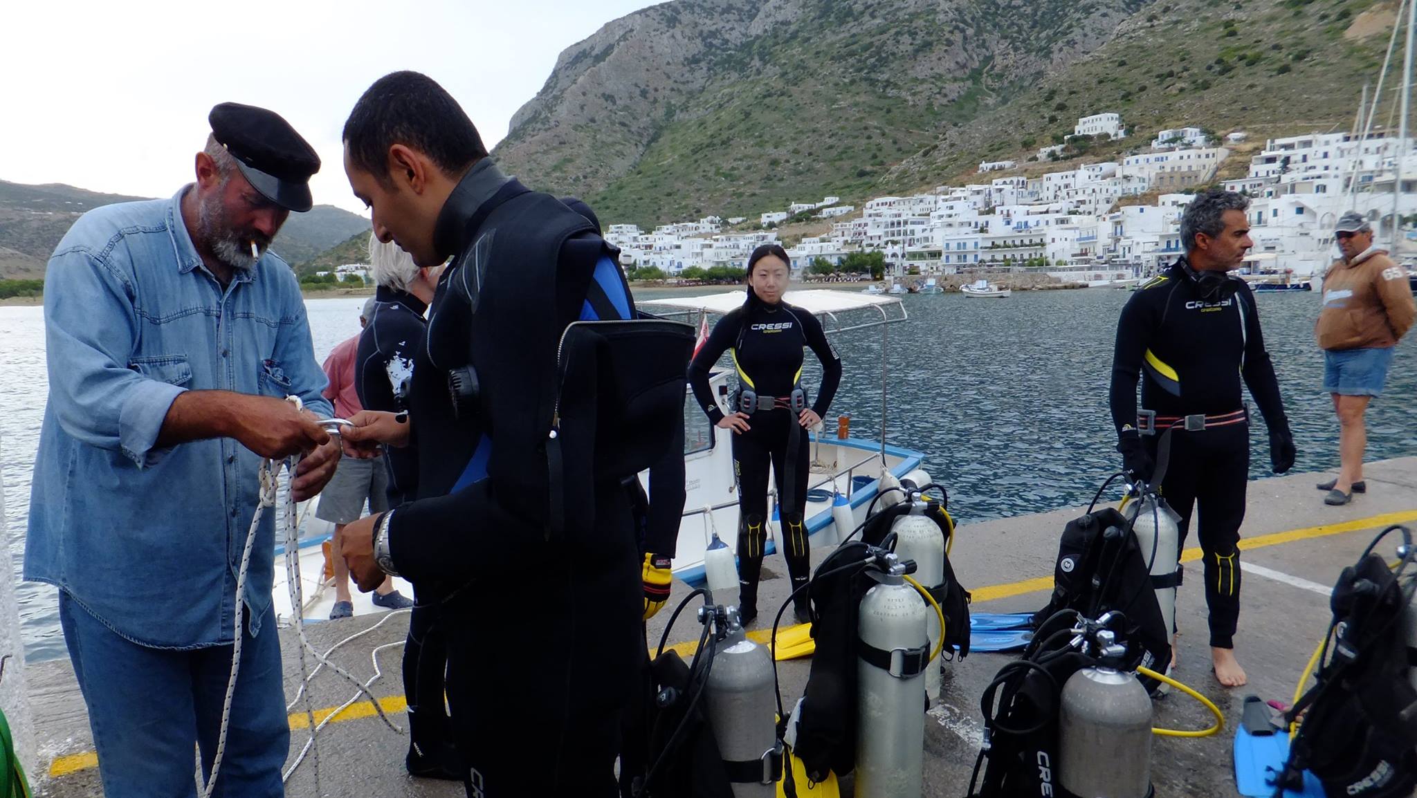
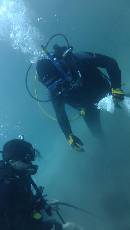
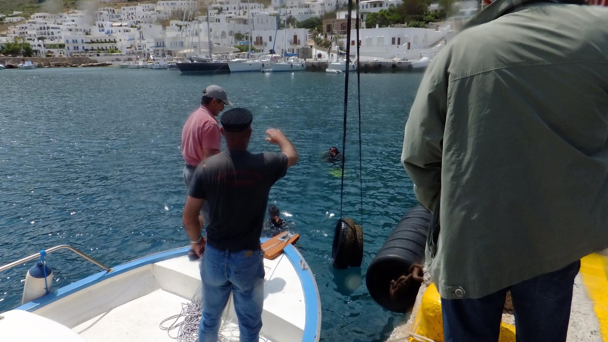
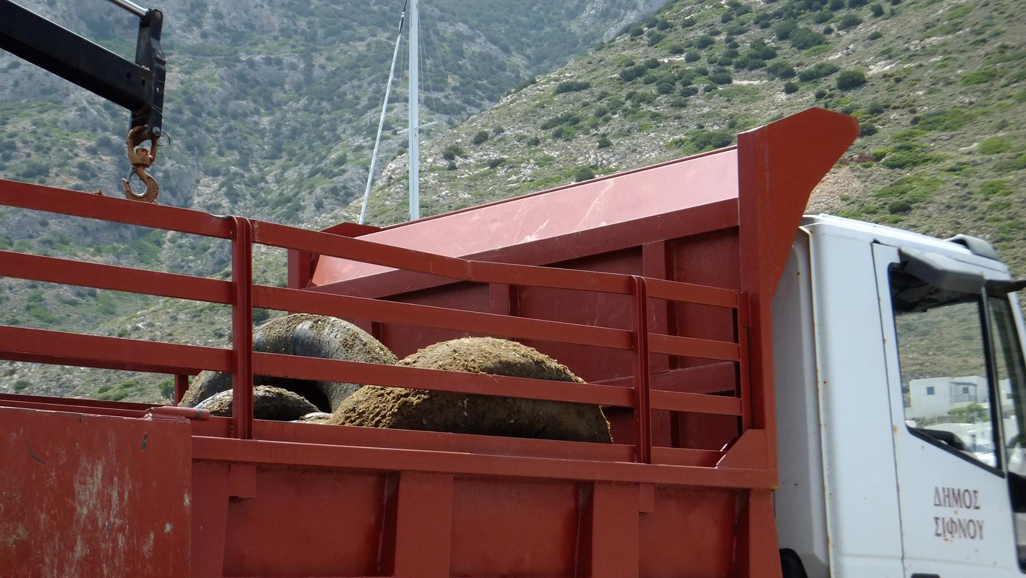
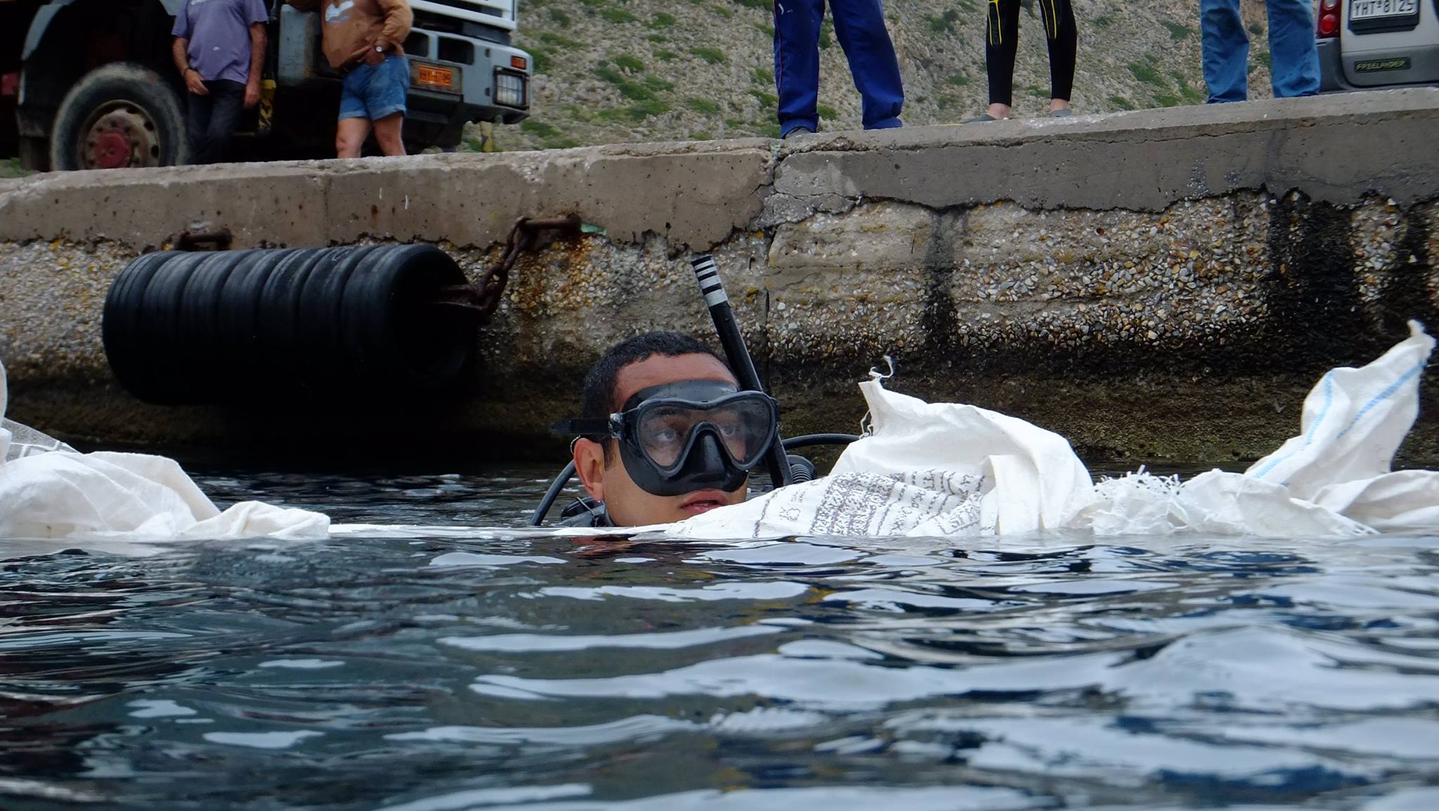
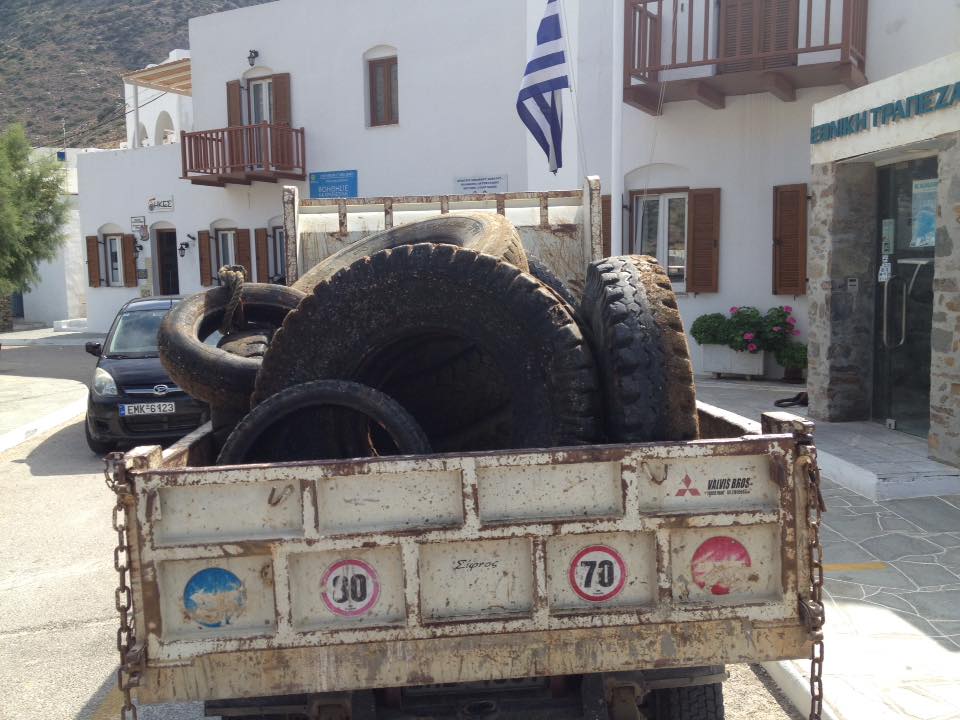
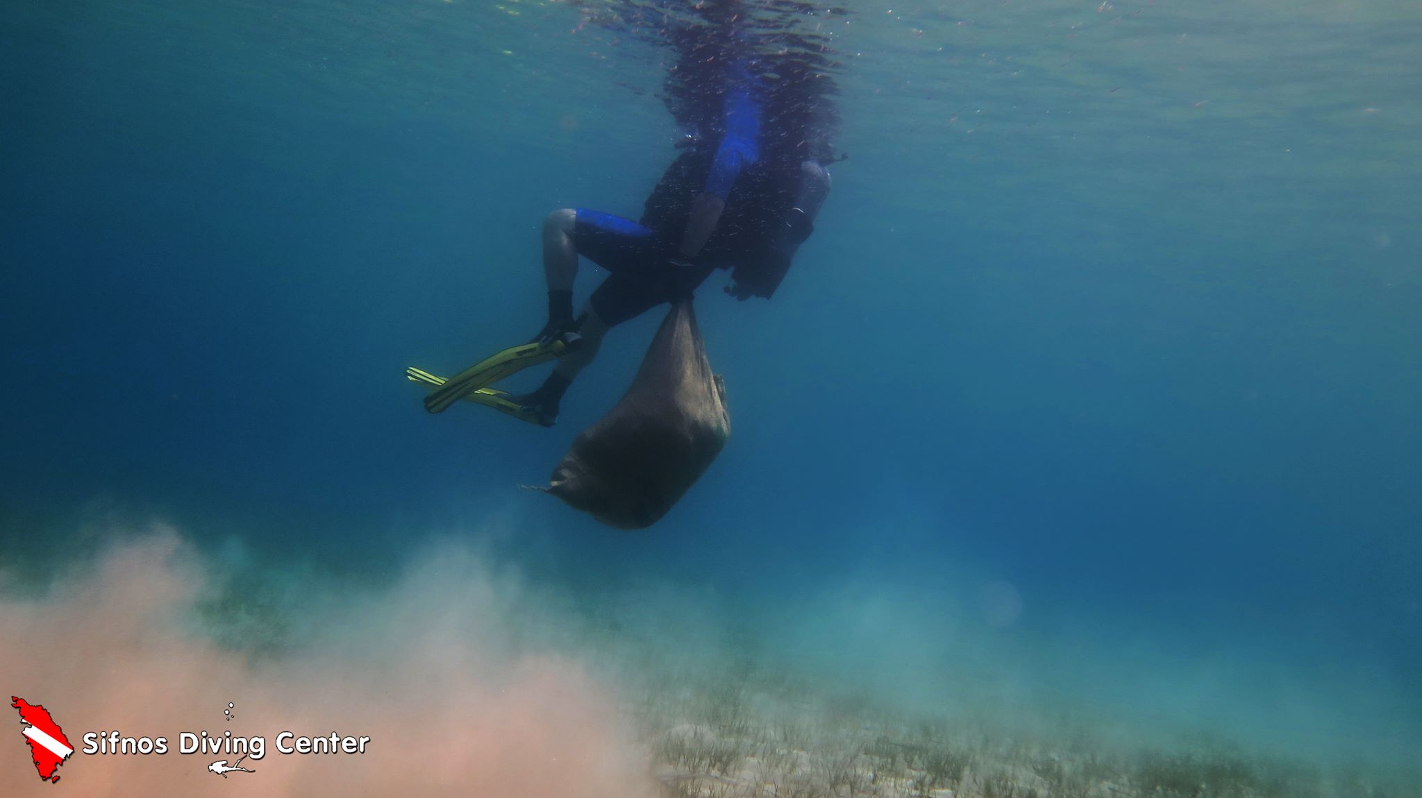
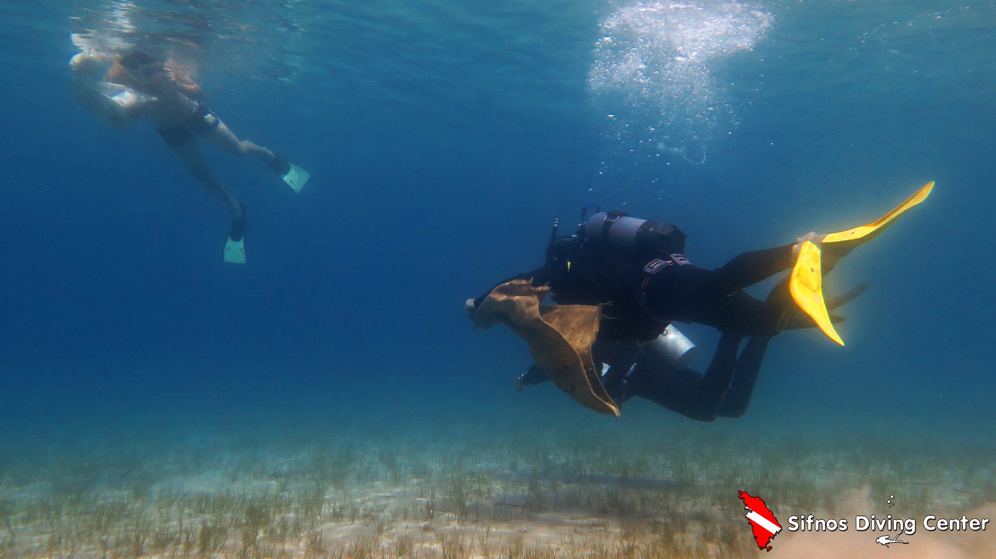
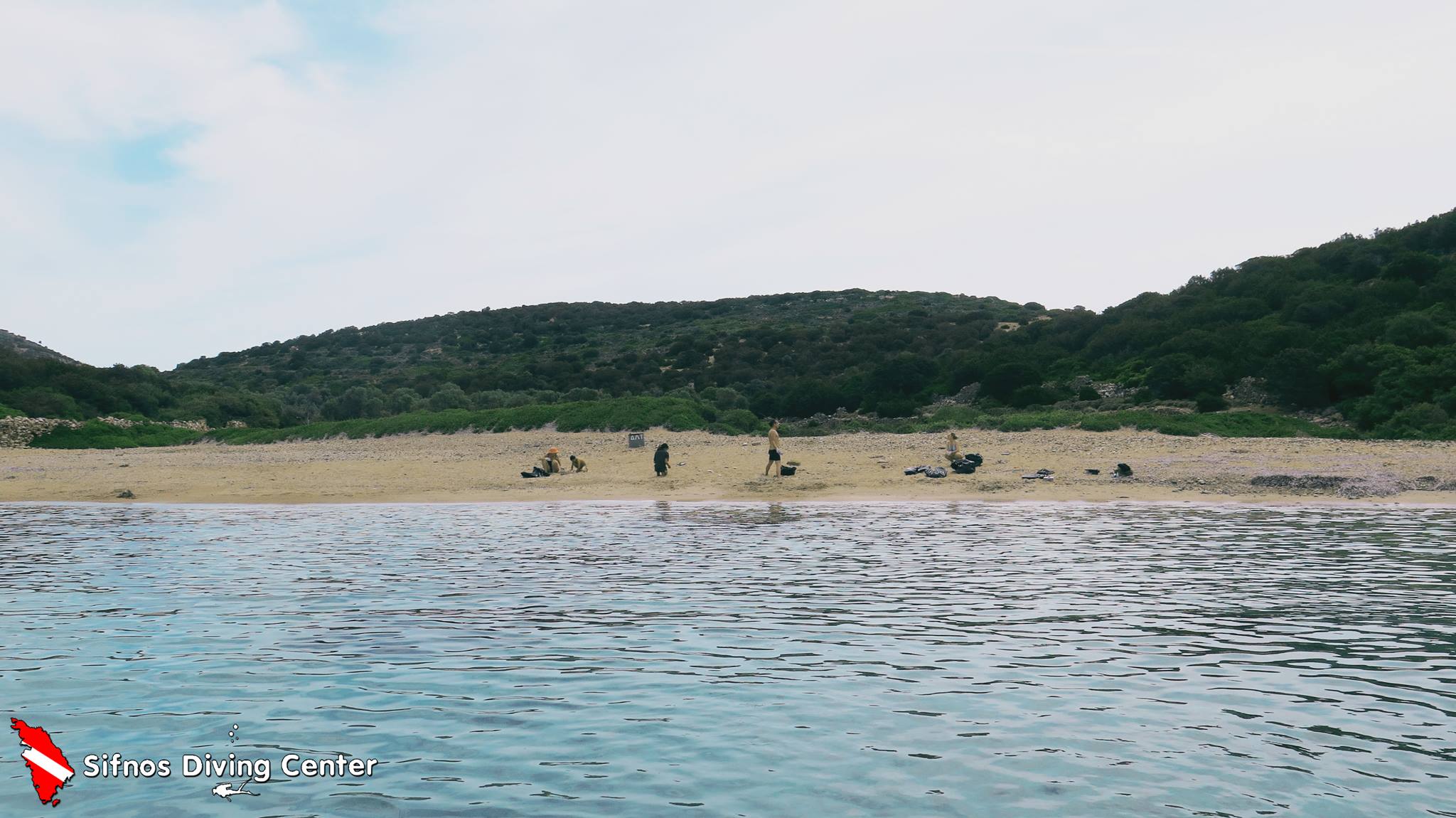
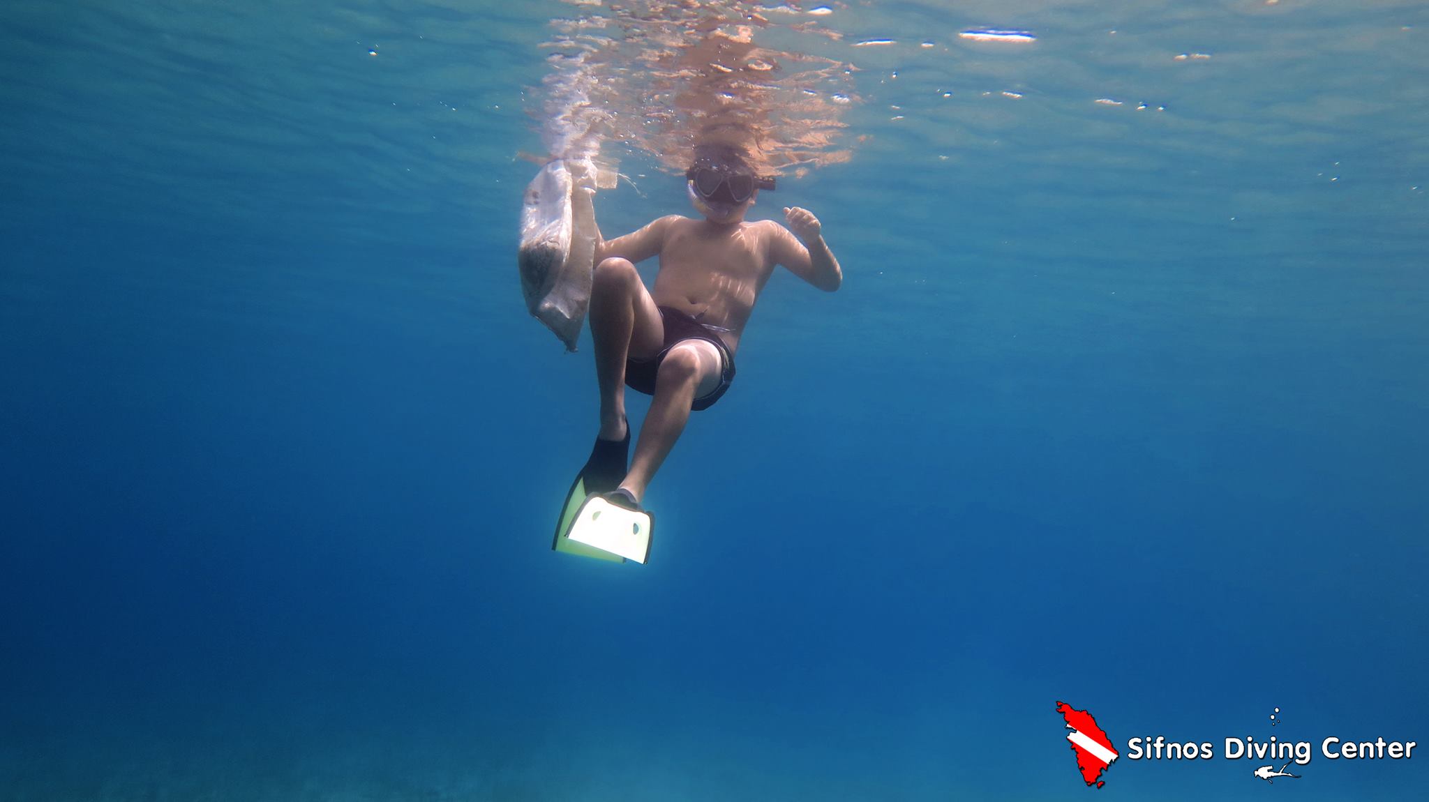
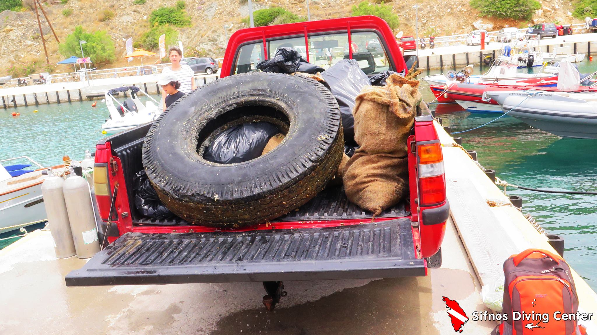
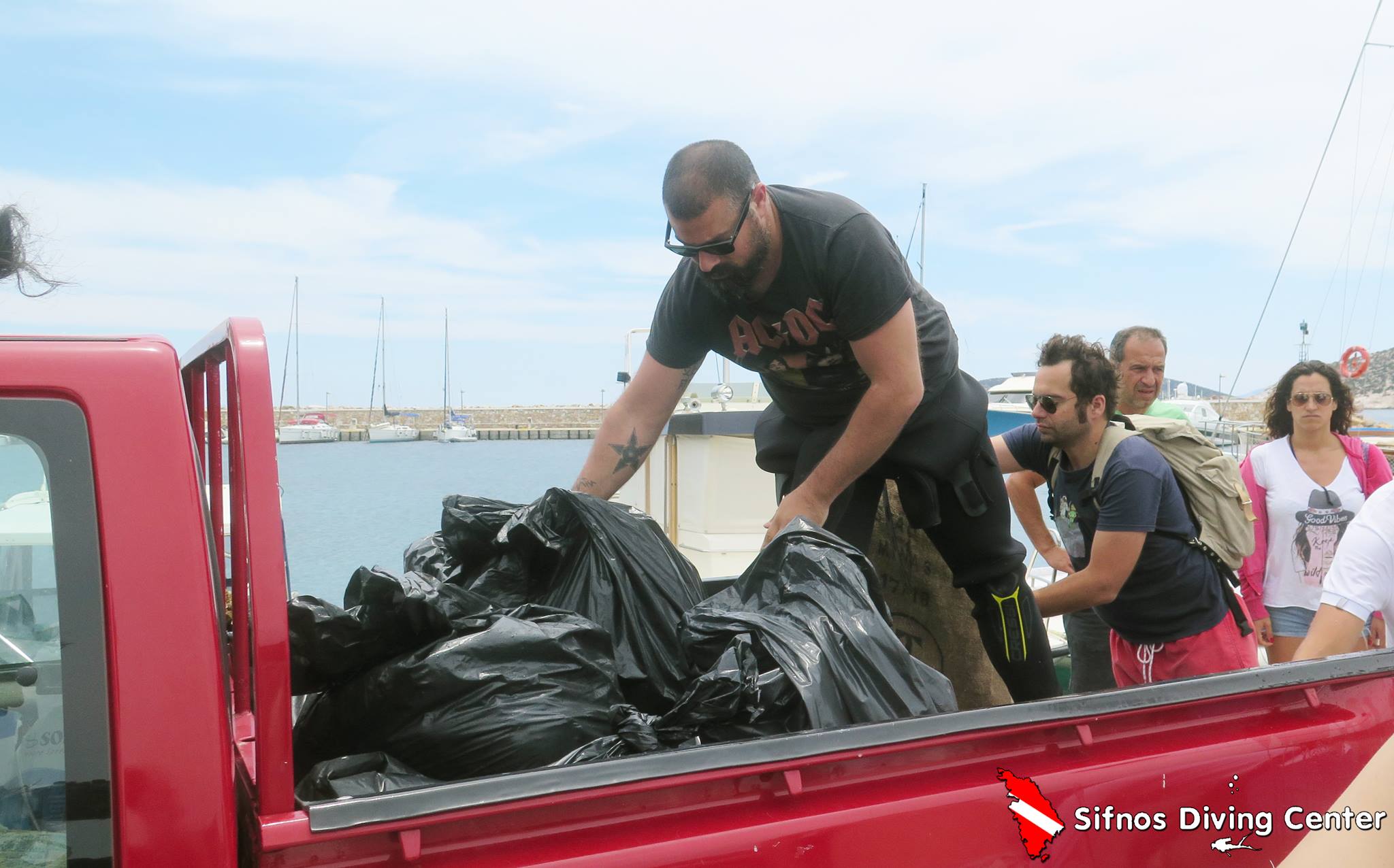
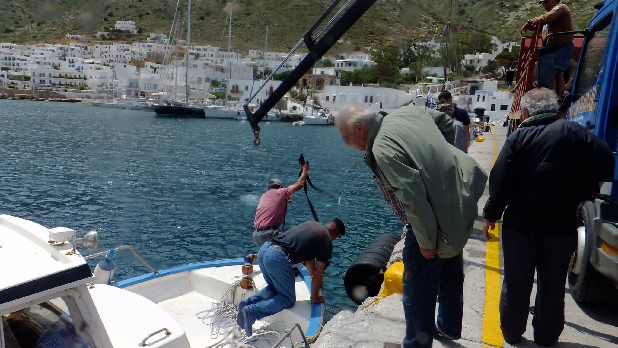
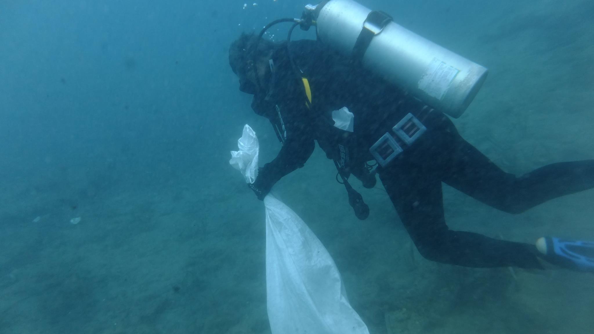
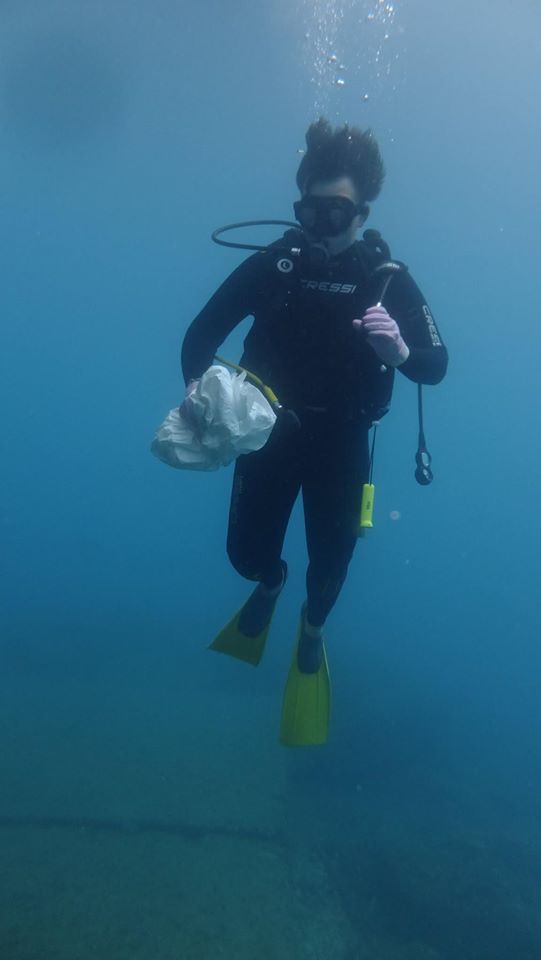
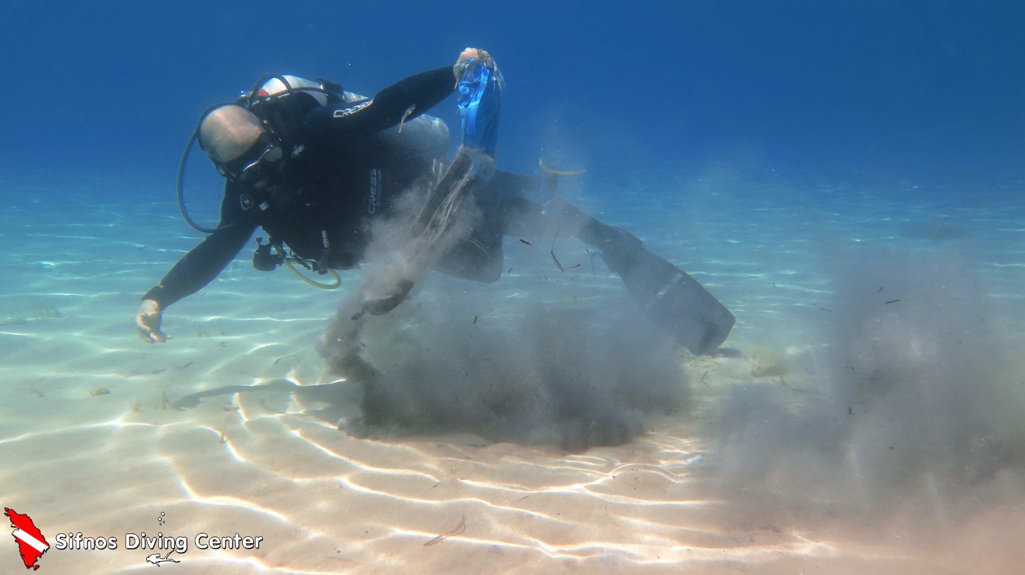
Sifnos Port

30
20
20
100

36.989883441045, 24.674670308978

100
5
sand
5
6
150

36.989883441045, 24.674670308978

Sifnos Diving Center
John Abd Elmeseh
5
12
30
100
50
50
15
8
15
7
20
100
20
50
30
4
2
9
1
5
250.00
80
7.00
2.00
20
estimated
6
20
7752.92
6
80
On
kilograms
I have debris data to report
15
Calm (glassy to rippled) for waves 0 – 0.1 meter high
15
m2
10
meters
rocky reef
9
5
20
20
30
10
20
60
6
2
10
Greece
City
Sifnos
Map Help


Dive Location

If you know your survey site coordinates, enter them manually in decimal degrees using WGS84 Map Datum. Use the minus sign for latitudes south of the equator and longitudes west of the Prime Meridian to 180 degrees.

If you do not know your survey site coordinates, click the “Map Location” tab to use the map to zoom into your survey site and drop the pin on the map to fall within your survey dive site in the water (not on land or the beach). Ensure you zoom in as much as possible to ensure data accuracy.
Entangled Help


Use the vertical tabs below to record any entangled animals you found of each type.

Jumeirah Beach

6
20
0
0

25.18646, 55.224241

2
0
0
sand
3
2
0
3
2
Emirates NBD
0
0
0
3
0
0
0
0
0
0
0
0
0
0
0
0
0
0
0
14
0
0
0
0
3
0
0
0
0
0
0
0
0
0
0
0
6.50
40
6.00
1.00
5
measured
0
0
0
4
1000.00
0
0
0
0
0
Plastic wrappers
Fishing lines
0
On
kilograms
0
I have debris data to report
0
0
0
Calm (glassy to rippled) for waves 0 – 0.1 meter high
0
0
0
0
0
0
0
m2
0
0
meters
seagrass
10
0
6
0
0
0
0
0
0
0
0
0
0
0
0
2
1
0
0
0
0
0
0
0
0
0
0
0
0
United Arab Emirates
City
Dubai
Map Help


Dive Location

If you know your survey site coordinates, enter them manually in decimal degrees using WGS84 Map Datum. Use the minus sign for latitudes south of the equator and longitudes west of the Prime Meridian to 180 degrees.

If you do not know your survey site coordinates, click the “Map Location” tab to use the map to zoom into your survey site and drop the pin on the map to fall within your survey dive site in the water (not on land or the beach). Ensure you zoom in as much as possible to ensure data accuracy.
Entangled Help


Use the vertical tabs below to record any entangled animals you found of each type.

Pigadi Clean up

rock
1
3

37.799846006041, 23.788978485719

Diving Store
Alexandros Vennos
5
6
2
2
3.00
50
25.00
5.00
estimated
500.00
On
kilograms
I have debris data to report
2
Calm (glassy to rippled) for waves 0 – 0.1 meter high m2
meters
rocky reef
3
2
3
1
Greece
State\Province
Athens
City
Vouliagmeni
Map Help


Dive Location

If you know your survey site coordinates, enter them manually in decimal degrees using WGS84 Map Datum. Use the minus sign for latitudes south of the equator and longitudes west of the Prime Meridian to 180 degrees.

If you do not know your survey site coordinates, click the “Map Location” tab to use the map to zoom into your survey site and drop the pin on the map to fall within your survey dive site in the water (not on land or the beach). Ensure you zoom in as much as possible to ensure data accuracy.

Entangled Help


Use the vertical tabs below to record any entangled animals you found of each type.

Glennifer

0
0
0

-30.367651544386, 152.89956890385

0
0
0
rock
0
0
0
0
0
Freshwater river
Tourism
Underwear
Rain
1
0
0
0
0
0
0
0
0
0
0
0
0
0
0
0
0
0
0
0
Boogey Board
Daniel
0
0
0
0
0
0
0
0
1
0
0
0
0
0
0
0
0
0
0
1
0
0
0
0
0
0
0
0
0
0
0
0
0
0
3.00
360
4.00
0.00
0
estimated
0
0
84.95
0
0
0
0
0
Beer bottles
Aquatic toys
0
On
kilograms
0
I have debris data to report
4
0
0
Calm (glassy to rippled) for waves 0 – 0.1 meter high
0
0
0
0
0
0
0
0
m2
0
0
meters
other
0
0
0
0
0
1
0
0
0
1
0
0
0
0
0
0
0
0
0
0
0
0
0
0
0
0
0
0
Australia
State\Province
NSW
City
Bellingen
Map Help


Dive Location

If you know your survey site coordinates, enter them manually in decimal degrees using WGS84 Map Datum. Use the minus sign for latitudes south of the equator and longitudes west of the Prime Meridian to 180 degrees.

If you do not know your survey site coordinates, click the “Map Location” tab to use the map to zoom into your survey site and drop the pin on the map to fall within your survey dive site in the water (not on land or the beach). Ensure you zoom in as much as possible to ensure data accuracy.

Entangled Help


Use the vertical tabs below to record any entangled animals you found of each type.

Bounty Wreck

0
0
0

-8.356343, 116.051994

0
0
0
coral
0
0
0
0
0
Dry
0
0
0
0
0
0
0
0
0
0
0
0
0
0
0
0
0
0
0
0
Blue Marlin
Anne
0
0
0
0
0
0
0
0
0
0
0
0
0
0
0
0
0
0
0
5
0
0
0
0
0
0
0
0
0
0
0
0
0
0
0.00
35
16.00
5.00
0
estimated
0
0
17.75
0
0
0
0
0
Fishing lines
Plastic bag
Plastic wrapper
0
On
kilograms
0
Our Survey Site was free of debris
0
0
0
Calm (glassy to rippled) for waves 0 – 0.1 meter high
0
0
0
0
0
0
0
m2
0
0
meters
coral reef
0
0
0
0
0
0
0
0
0
0
0
0
0
0
0
0
0
0
0
0
0
0
0
0
0
0
0
0
Indonesia
State\Province
Lombok
City
Gili Trawangan
Map Help


Dive Location

If you know your survey site coordinates, enter them manually in decimal degrees using WGS84 Map Datum. Use the minus sign for latitudes south of the equator and longitudes west of the Prime Meridian to 180 degrees.

If you do not know your survey site coordinates, click the “Map Location” tab to use the map to zoom into your survey site and drop the pin on the map to fall within your survey dive site in the water (not on land or the beach). Ensure you zoom in as much as possible to ensure data accuracy.

Entangled Help


Use the vertical tabs below to record any entangled animals you found of each type.

Sting Ray Yeti

1
1
gravel
2
2

6.9974017738246, 72.937266645028

Main Yeti for importing and exporting supplies.
Material made from cardboard.
Strong North East winds and waves.
Best Dives Maldives Manafaru
Pilar
1
3
14.90
40
6.00
3.00
measured
30.00
On
kilograms
I have debris data to report
Calm (glassy to rippled) for waves 0 – 0.1 meter high m2
meters
coral reef
12
2
5
2
7
Maldives
State\Province
Haa Alif Atoll
City
Male
Map Help


Dive Location

If you know your survey site coordinates, enter them manually in decimal degrees using WGS84 Map Datum. Use the minus sign for latitudes south of the equator and longitudes west of the Prime Meridian to 180 degrees.

If you do not know your survey site coordinates, click the “Map Location” tab to use the map to zoom into your survey site and drop the pin on the map to fall within your survey dive site in the water (not on land or the beach). Ensure you zoom in as much as possible to ensure data accuracy.
Entangled Help


Use the vertical tabs below to record any entangled animals you found of each type.

Polo Beach

0
0
0

20.675672124238, -156.44402882957

0
0
0
sand
0
0
0
5
0
Big wind storm
Chaises lounge
Calm
1
1
0
0
0
0
0
0
0
0
0
0
0
0
0
0
0
0
0
0
Chaises lounge
Side table metal plastic coated
Maui Dreams Dive Co.
Corey Mahjoubian
0
0
0
0
0
0
0
0
0
0
0
0
0
0
0
0
0
0
0
3
0
0
0
0
0
0
0
0
0
0
0
0
0
0
30.00
60
30.00
10.00
0
estimated
0
0
919.38
0
0
0
0
0
Metal/plastic furniture
Beach Towels
0
On
pounds
0
I have debris data to report
0
0
0
Calm (glassy to rippled) for waves 0 – 0.1 meter high
0
0
0
0
0
0
0
m2
0
6
feet
coral reef
0
0
0
0
0
0
0
0
0
0
0
0
0
0
0
0
0
0
0
0
0
0
0
0
0
0
0
0
United States
State\Province
Hawai’i
City
Kihei
Map Help


Dive Location

If you know your survey site coordinates, enter them manually in decimal degrees using WGS84 Map Datum. Use the minus sign for latitudes south of the equator and longitudes west of the Prime Meridian to 180 degrees.

If you do not know your survey site coordinates, click the “Map Location” tab to use the map to zoom into your survey site and drop the pin on the map to fall within your survey dive site in the water (not on land or the beach). Ensure you zoom in as much as possible to ensure data accuracy.

Entangled Help


Use the vertical tabs below to record any entangled animals you found of each type.
Subscribe to