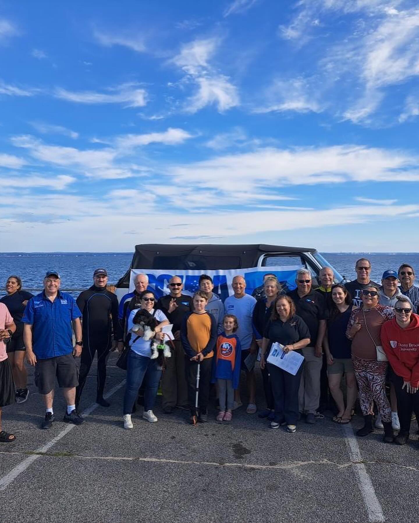
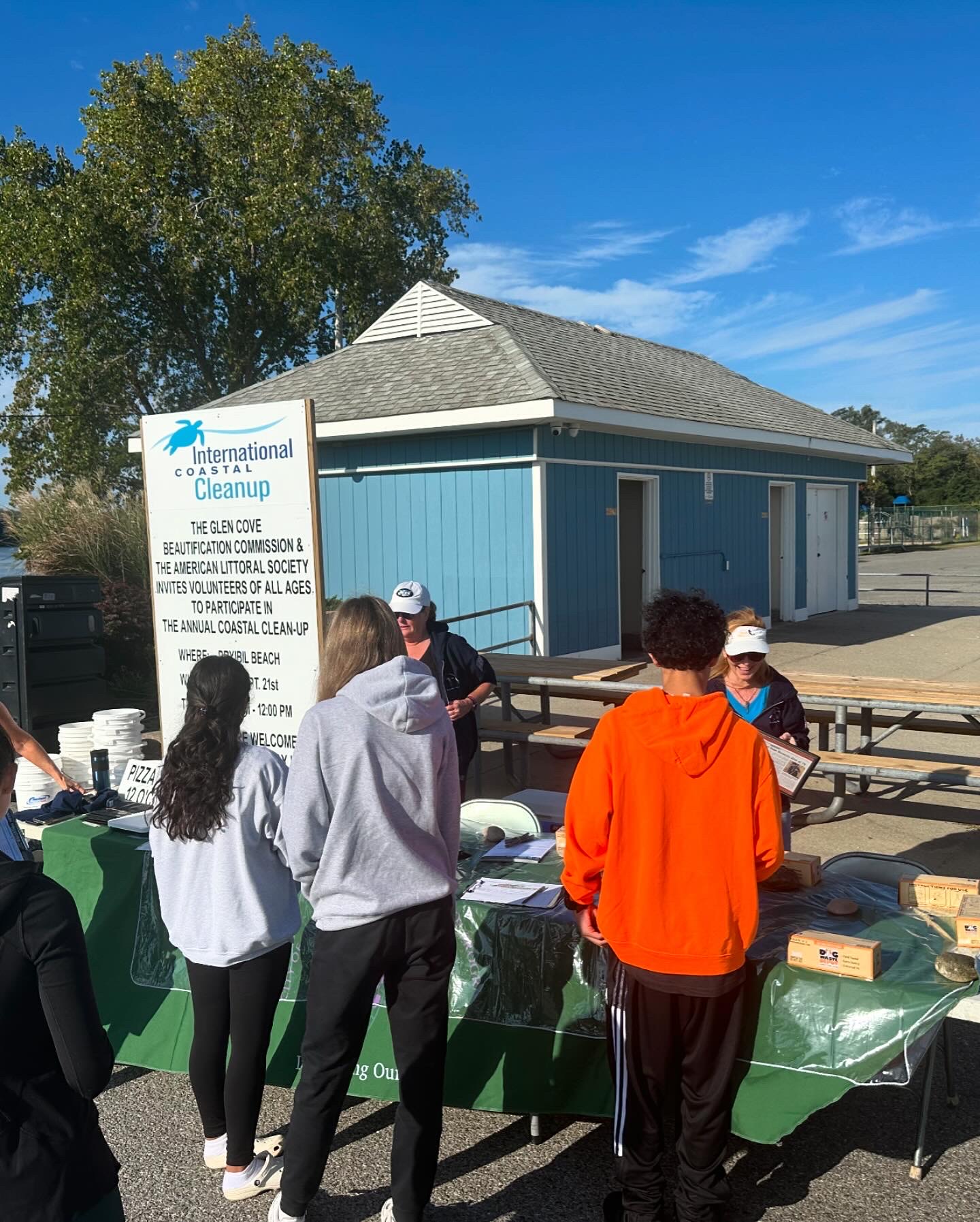
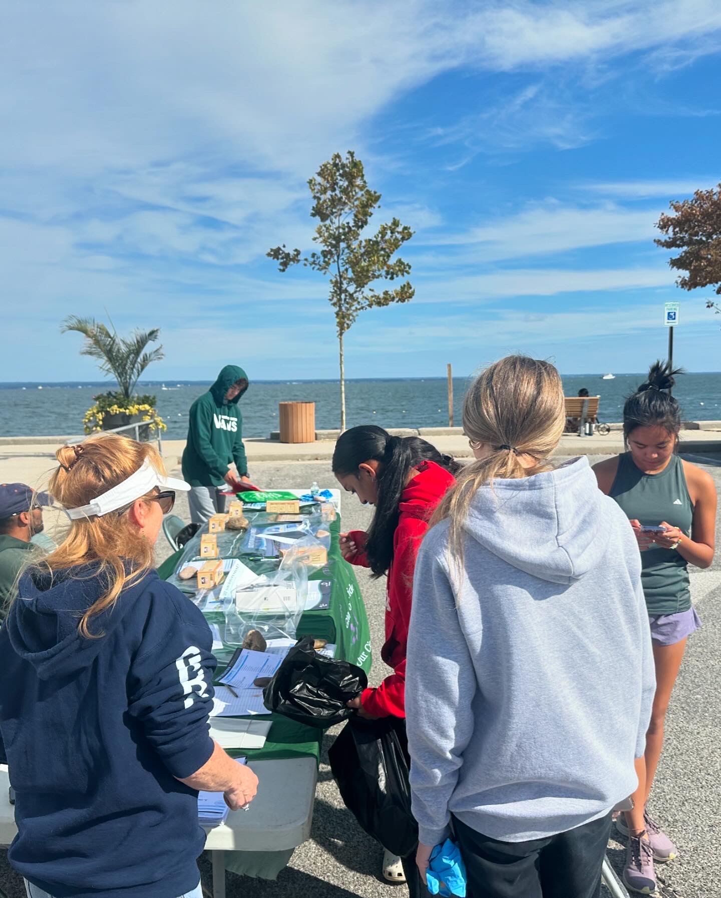
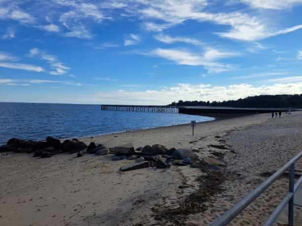
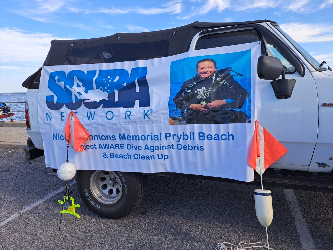
Annual Dive Against Debris and Coastal Cleanup Prybil Beach 2024
2
6
15
26
0
2
gravel
10
1
100
5
40.898333086547, -73.623161315918
Clear, Warm
anchor
iphone
Scuba Network Long Island
Dan Halloran
0
3
3
6
18
1
13
1
27
15
3
20
12
0
2
15
4
-1
1
85.00
180
20.00
1.00
measured
10
25
1200.00
1
Car battery
On
pounds
I have debris data to report
4
4
Smooth (wavelets) for waves 0.1 - 0.5 meter high
1
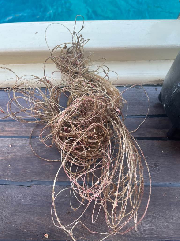
fishing line
Horsehoe Crab
Released Unharmed
1
ft2

2
feet
rocky reef
15
2
1
5
4
1
1
2
5
1
4
22
1
State\Province
NY
City
Glen Cove
Map Help
Dive Location
If you know your survey site coordinates, enter them manually in decimal degrees using WGS84 Map Datum. Use the minus sign for latitudes south of the equator and longitudes west of the Prime Meridian to 180 degrees.
If you do not know your survey site coordinates, click the “Map Location” tab to use the map to zoom into your survey site and drop the pin on the map to fall within your survey dive site in the water (not on land or the beach). Ensure you zoom in as much as possible to ensure data accuracy.
Entangled Help