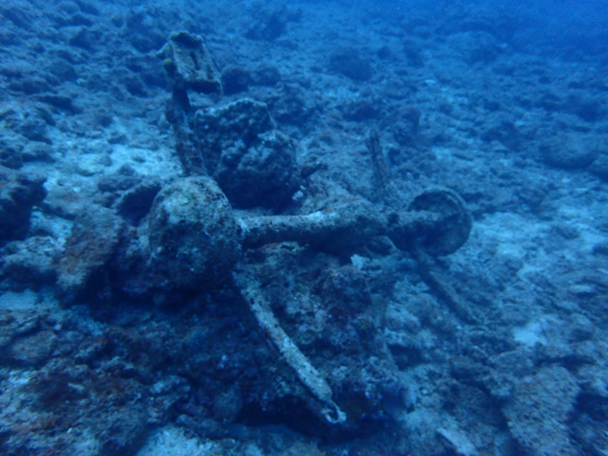
Menu

Lazarus West

7
1
3
rock
15
1

1.2270307087151, 103.85177613715

Fishing, camping
Mess tins!
Sunny
1
1
1
Sunglass
Umbrella
Fishing Reel
Our Singapore Reefs
Sam Shu Qin
1
1
1
1
1
16
2
9
1
1
1
39.60
60
11.00
1.00
measured
4
2184.24
1
Mess tins
Fishing line
Plastic beverage bottles
On
kilograms
I have debris data to report
1
Calm (glassy to rippled) for waves 0 – 0.1 meter high
1
m2
meters
coral reef
1
1
1
18
1
6
1
Singapore
State\Province
Singapore
City
Singapore
Map Help


Dive Location

If you know your survey site coordinates, enter them manually in decimal degrees using WGS84 Map Datum. Use the minus sign for latitudes south of the equator and longitudes west of the Prime Meridian to 180 degrees.

If you do not know your survey site coordinates, click the “Map Location” tab to use the map to zoom into your survey site and drop the pin on the map to fall within your survey dive site in the water (not on land or the beach). Ensure you zoom in as much as possible to ensure data accuracy.

Entangled Help


Use the vertical tabs below to record any entangled animals you found of each type.

Lazarus West

1
3
1
12
rock
2
7

1.2270196991758, 103.85197056836

Fishing
Bicycle
Sunny
1
Bicycle
Our Singapore Reefs
Toh Tai Chong
1
1
1
3
16
5
8
2
36.90
60
11.00
1.00
measured
1
6
2184.24
Fishing nets
Plastic beverage bottles
Fishing lines
On
kilograms
I have debris data to report
1
Calm (glassy to rippled) for waves 0 – 0.1 meter high
1
5
m2
2
meters
coral reef
3
3
1
5
3
5
1
Singapore
State\Province
Singapore
City
Singapore
Map Help


Dive Location

If you know your survey site coordinates, enter them manually in decimal degrees using WGS84 Map Datum. Use the minus sign for latitudes south of the equator and longitudes west of the Prime Meridian to 180 degrees.

If you do not know your survey site coordinates, click the “Map Location” tab to use the map to zoom into your survey site and drop the pin on the map to fall within your survey dive site in the water (not on land or the beach). Ensure you zoom in as much as possible to ensure data accuracy.

Entangled Help


Use the vertical tabs below to record any entangled animals you found of each type.

White Knight

0
0
0
0

27.962591, 34.408812

0
0
0
coral
0
0
0
0
5
No
Rubber matting blocks
Warm and windy
Elite Diving
Gwyn
0
2
0
5
1
0
0
0
1
0
3
0
0
0
0
0
0
0
0
3
0
0
0
0
1
2
0
0
0
0
0
0
0
0
0
0
9.00
50
28.00
3.00
3
measured
0
0
0
0
14547.00
0
0
0
7
0
0
On
kilograms
0
I have debris data to report
0
0
0
Smooth (wavelets) for waves 0.1 - 0.5 meter high
4
0
0
0
0
0
0
m2
0
0
meters
coral reef
0
0
0
0
0
0
0
0
0
0
0
0
0
0
0
0
0
0
0
0
5
0
3
0
0
0
0
0
0
Egypt
State\Province
Sinsu
City
Sharm
Map Help


Dive Location

If you know your survey site coordinates, enter them manually in decimal degrees using WGS84 Map Datum. Use the minus sign for latitudes south of the equator and longitudes west of the Prime Meridian to 180 degrees.

If you do not know your survey site coordinates, click the “Map Location” tab to use the map to zoom into your survey site and drop the pin on the map to fall within your survey dive site in the water (not on land or the beach). Ensure you zoom in as much as possible to ensure data accuracy.

Entangled Help


Use the vertical tabs below to record any entangled animals you found of each type.

Pinnacles

coral
30

13.856924737194, -61.068982587483

A lot of fishing in the area
Metal wire
Calm
Scuba St Lucia
Georgiana Merlusca
4
1
1.00
54
20.00
5.00
estimated
1
40.00
Fishing line
On
pounds
I have debris data to report
Calm (glassy to rippled) for waves 0 – 0.1 meter high m2
meters
coral reef
1
Saint Lucia
City
Soufriere
Map Help


Dive Location

If you know your survey site coordinates, enter them manually in decimal degrees using WGS84 Map Datum. Use the minus sign for latitudes south of the equator and longitudes west of the Prime Meridian to 180 degrees.

If you do not know your survey site coordinates, click the “Map Location” tab to use the map to zoom into your survey site and drop the pin on the map to fall within your survey dive site in the water (not on land or the beach). Ensure you zoom in as much as possible to ensure data accuracy.

Entangled Help


Use the vertical tabs below to record any entangled animals you found of each type.

ADS529 - Manafaru House Reef

7

6.9990277777778, 72.943777777778

sand
1

6.9959714, 72.9408891

Best Dives Maldives
Imke Meyer
5
1
2
7.00
55
8.00
2.00
4
measured
100.00
On
kilograms
I have debris data to report
Smooth (wavelets) for waves 0.1 - 0.5 meter high
6
m2
meters
coral reef
2
4
25
3
1
7
36
Maldives
State\Province
Manafaru
City
Manafaru
Map Help


Dive Location

If you know your survey site coordinates, enter them manually in decimal degrees using WGS84 Map Datum. Use the minus sign for latitudes south of the equator and longitudes west of the Prime Meridian to 180 degrees.

If you do not know your survey site coordinates, click the “Map Location” tab to use the map to zoom into your survey site and drop the pin on the map to fall within your survey dive site in the water (not on land or the beach). Ensure you zoom in as much as possible to ensure data accuracy.

Entangled Help


Use the vertical tabs below to record any entangled animals you found of each type.

Cave-Maeda, Onna, OKINAWA

2

26.444096457248, 127.77250905764

rock
3

26.444096457248, 127.77250905764

Axle on Car (pic)
Taifu-Typhoon
Dive KO-BE
KENJI YAMADA
2
3
0.80
40
24.00
6.00
2
estimated
2500.00
On
kilograms
I have debris data to report
Smooth (wavelets) for waves 0.1 - 0.5 meter high
1
m2
1
1
Rope for Boat
Echinophyllia aspera
Released Unharmed
meters
rocky reef
Japan
State\Province
OKINAWA
City
Onna-Village
Map Help


Dive Location

If you know your survey site coordinates, enter them manually in decimal degrees using WGS84 Map Datum. Use the minus sign for latitudes south of the equator and longitudes west of the Prime Meridian to 180 degrees.

If you do not know your survey site coordinates, click the “Map Location” tab to use the map to zoom into your survey site and drop the pin on the map to fall within your survey dive site in the water (not on land or the beach). Ensure you zoom in as much as possible to ensure data accuracy.

Entangled Help


Use the vertical tabs below to record any entangled animals you found of each type.

ADS584 - Holyrood Marina

1
1

47.389297, -53.126558

silt
Thanks to Megan M, Mark C, Alain L, Brandy B, and Solene G who joined me for a little Dive Against Debris at the adopted site, ADS584 Holyrood Marina. Despite less than stellar visibility we did well in accomplishing our mission goals for the day, including certifying four new drysuit divers and one other refreshing skills now that the kids are back in school. Congratulations. Multi taskers to the extreme!! One team laid down a find for the next group to venture into the waters at Holyrood Marina. That team collected such a bag of debris that it became too heavy to transport to the shore. The neat package is ready for pickup. I just might use that as an object to be searched for on an upcoming S&R adventure dive.
Unusual? Perhaps not, just ironic. We removed a cleaning tool (broom) during a clean up dive.
1
broom wood handle and plastic bristles
Ocean Quest Adventures
Mark McGowan
6
1
1
30.00
40
40.00
20.00
estimated
10000.00
glass beverage containers represented more than 79% of the debris removed today.
On
pounds
I have debris data to report
51
Smooth (wavelets) for waves 0.1 - 0.5 meter high
1
ft2
feet
kelp
1
1
4
1
Canada
State\Province
NL
City
Holyrood
Map Help


Dive Location

If you know your survey site coordinates, enter them manually in decimal degrees using WGS84 Map Datum. Use the minus sign for latitudes south of the equator and longitudes west of the Prime Meridian to 180 degrees.

If you do not know your survey site coordinates, click the “Map Location” tab to use the map to zoom into your survey site and drop the pin on the map to fall within your survey dive site in the water (not on land or the beach). Ensure you zoom in as much as possible to ensure data accuracy.

Entangled Help


Use the vertical tabs below to record any entangled animals you found of each type.

ADS518 - Batu Bolong

-8.5368403107847, 119.61397287065

coral
Azul Unlimited
Aitor Diaz Arevalo
5
0.00
45
27.00
8.00
measured
35.00
On
kilograms
Our Survey Site was free of debris
Calm (glassy to rippled) for waves 0 – 0.1 meter high m2
meters
coral reef
Indonesia
City
Labuan Bajo
Map Help


Dive Location

If you know your survey site coordinates, enter them manually in decimal degrees using WGS84 Map Datum. Use the minus sign for latitudes south of the equator and longitudes west of the Prime Meridian to 180 degrees.

If you do not know your survey site coordinates, click the “Map Location” tab to use the map to zoom into your survey site and drop the pin on the map to fall within your survey dive site in the water (not on land or the beach). Ensure you zoom in as much as possible to ensure data accuracy.

Entangled Help


Use the vertical tabs below to record any entangled animals you found of each type.

ADS126 - Chilpo Beach Northern Rocky outcrop

61
1
3

36.136072, 129.398292

1
sand
1
1
1
12
Condensed version of entire cleanup here - https://vimeo.com/359536197/287280fdc3
There were a total of 13 animals entangled. 10 were dead. 3 were alive and released unharmed. Video of the release is here (although the 3rd release is not shown as my gopro battery died) - https://vimeo.com/359022412
childs inner tube
Some rain a few days.
3
plastic Gloves (food service)
Dive Against Debris Korea (Daegu)
William Henderson
1
1
1
3
1
1
2
2
12.00
40
6.00
1.00
8
estimated
11
800.00
2
1
1
aluminum cans
cloth gloves
On
kilograms
I have debris data to report
Calm (glassy to rippled) for waves 0 – 0.1 meter high
3
Discarded mound of fishing line
Leopard Crab
Released Unharmed
13
7
9
m2
2
meters
rocky reef
2
21
South Korea
State\Province
Gyeongsang-bukdo
City
Pohang
Map Help


Dive Location

If you know your survey site coordinates, enter them manually in decimal degrees using WGS84 Map Datum. Use the minus sign for latitudes south of the equator and longitudes west of the Prime Meridian to 180 degrees.

If you do not know your survey site coordinates, click the “Map Location” tab to use the map to zoom into your survey site and drop the pin on the map to fall within your survey dive site in the water (not on land or the beach). Ensure you zoom in as much as possible to ensure data accuracy.

Entangled Help


Use the vertical tabs below to record any entangled animals you found of each type.

Beijing Jellyfish Lake 北京水母湖

39.508718, 115.842481

rock
5
Sunny
Beijing Changyuan Scuba Diving School
ZHANG Qi
1
3
4
2
3.00
69
6.50
6.50
measured
30.00
On
kilograms
I have debris data to report
Calm (glassy to rippled) for waves 0 – 0.1 meter high m2
meters
other
3
China
State\Province
Beijing
City
Beijing
Map Help


Dive Location

If you know your survey site coordinates, enter them manually in decimal degrees using WGS84 Map Datum. Use the minus sign for latitudes south of the equator and longitudes west of the Prime Meridian to 180 degrees.

If you do not know your survey site coordinates, click the “Map Location” tab to use the map to zoom into your survey site and drop the pin on the map to fall within your survey dive site in the water (not on land or the beach). Ensure you zoom in as much as possible to ensure data accuracy.

Entangled Help


Use the vertical tabs below to record any entangled animals you found of each type.

Ecosystem Other
algae
Subscribe to