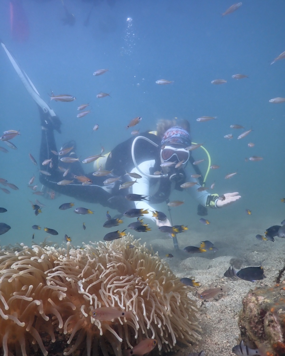
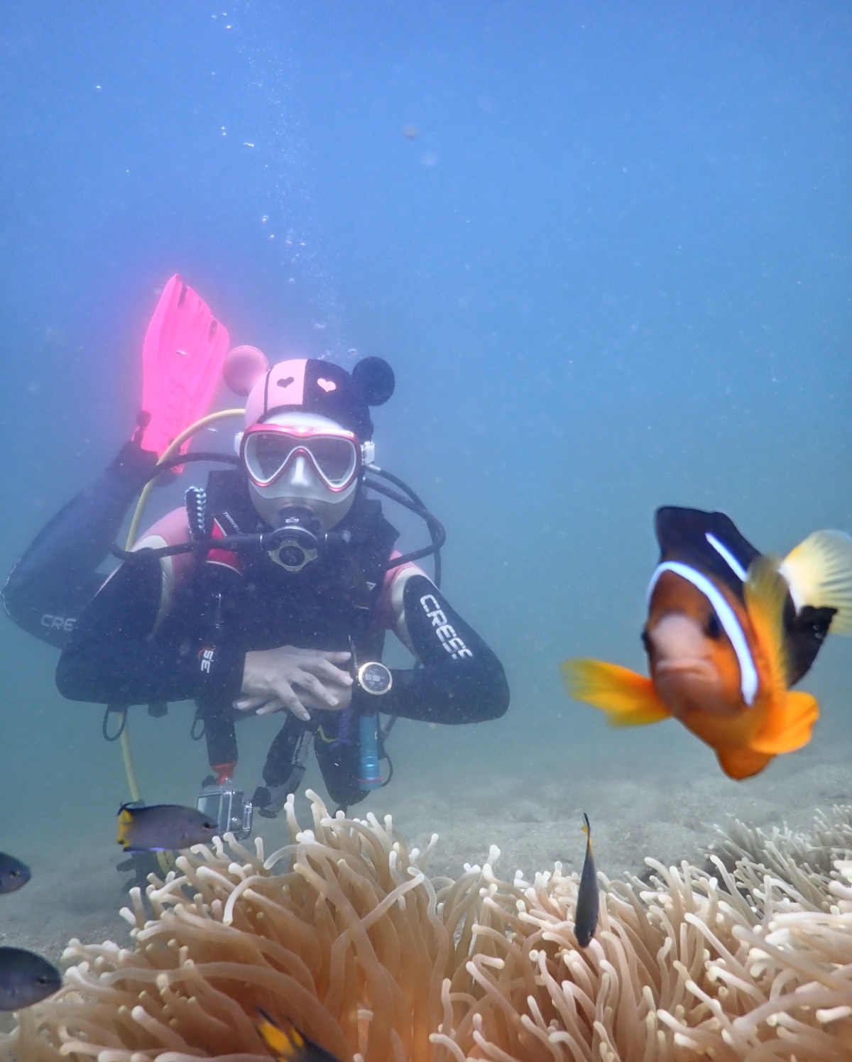
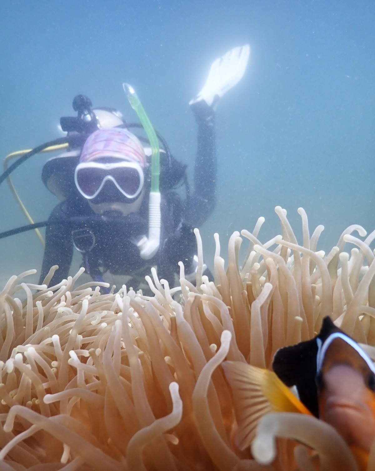
Connecticut River
0
0
0
0
4
0
0
sand
0
3
0
5
-1
41.712934059549, -72.63448285208
No, just a river on a city.
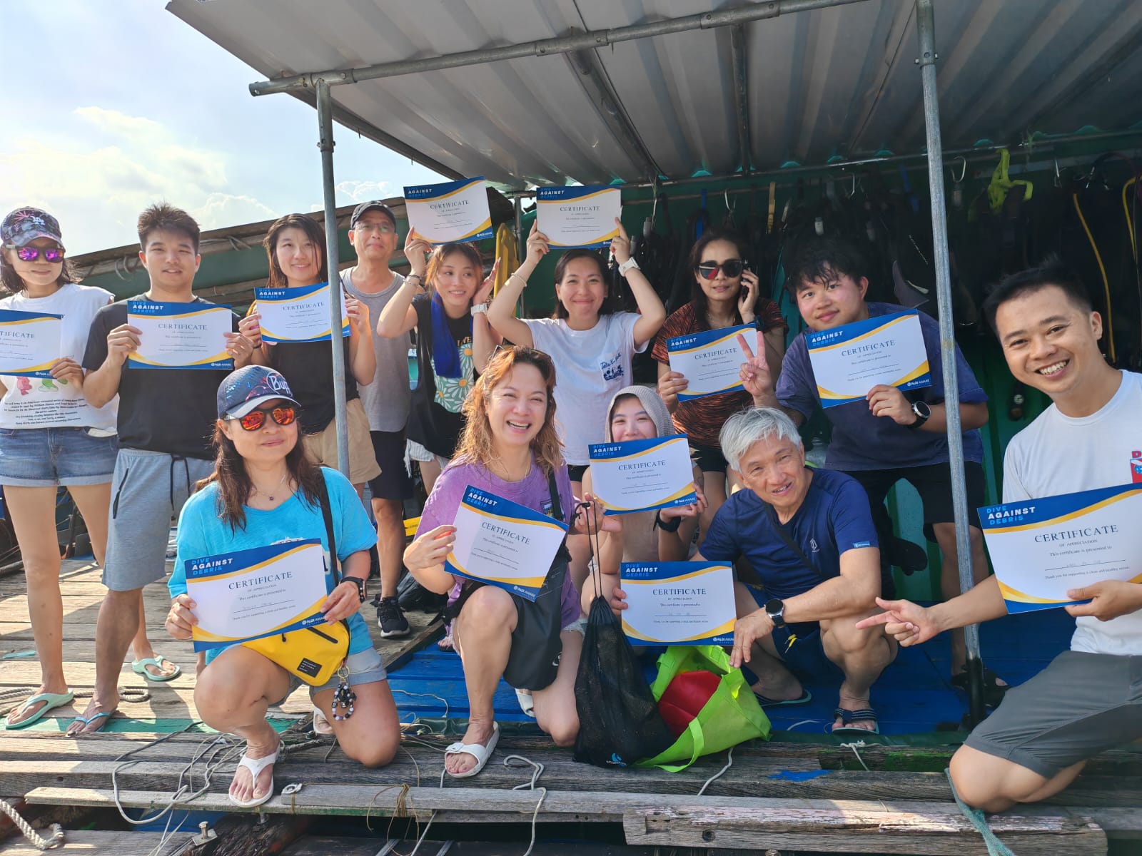
This was a good event. We will be performing it again as part of our police dive teams attempt to give back to the community.
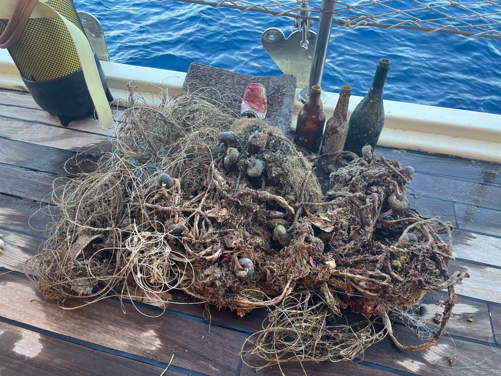
Old wooden beer barrel
Clear
3
Air conditioner 60 lbs
CREST POLICE DIVE TEAM
Woody Tinsley
0
-1
1
0
0
0
0
0
0
0
-1
0
1
0
0
0
0
0
7
4
2
5
0
0
4
0
0
0
-1
152.00
120
22.00
1.00
5
measured
0
0
100.00
Throw aways from a pedestrian bridge
On
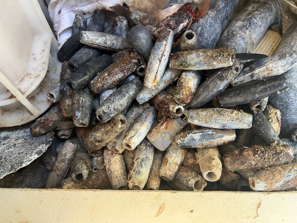
pounds
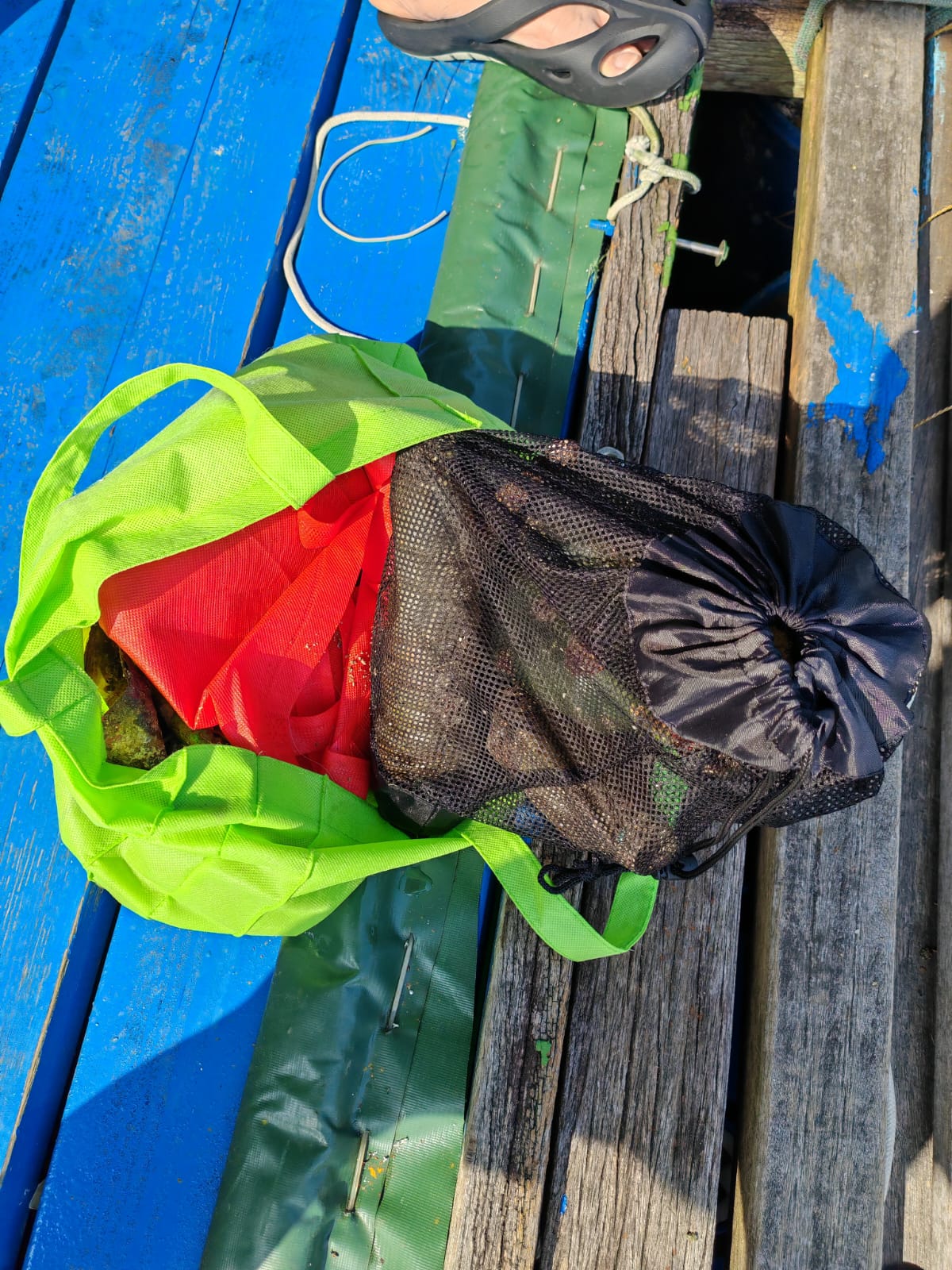
I have debris data to report
6
Calm (glassy to rippled) for waves 0 – 0.1 meter high
ft2
feet
other
0
0
0
-1
0
0
0
State\Province
CT
City
Hartford
Map Help
Dive Location
If you know your survey site coordinates, enter them manually in decimal degrees using WGS84 Map Datum. Use the minus sign for latitudes south of the equator and longitudes west of the Prime Meridian to 180 degrees.
If you do not know your survey site coordinates, click the “Map Location” tab to use the map to zoom into your survey site and drop the pin on the map to fall within your survey dive site in the water (not on land or the beach). Ensure you zoom in as much as possible to ensure data accuracy.
Entangled Help
Use the vertical tabs below to record any entangled animals you found of each type.
Ecosystem Other
River