Little Devils Cove
1
2
0
30.440474510377, -97.947705743795
1
0
0
silt
1
0
1
0
0
Beware of boaters
No
Plenty more to be pulled!
Full bottle of Gatorade
Sunshine
1
2
1
10
1
1
1
1
1
0
0
0
0
0
0
0
0
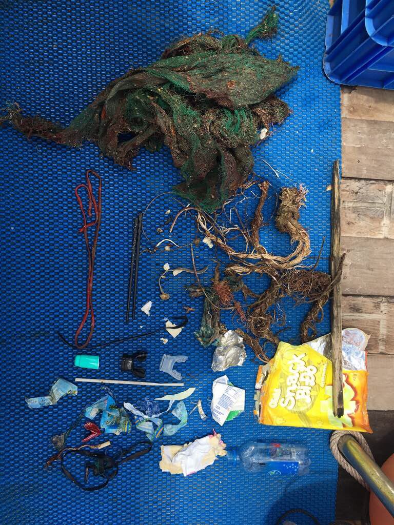
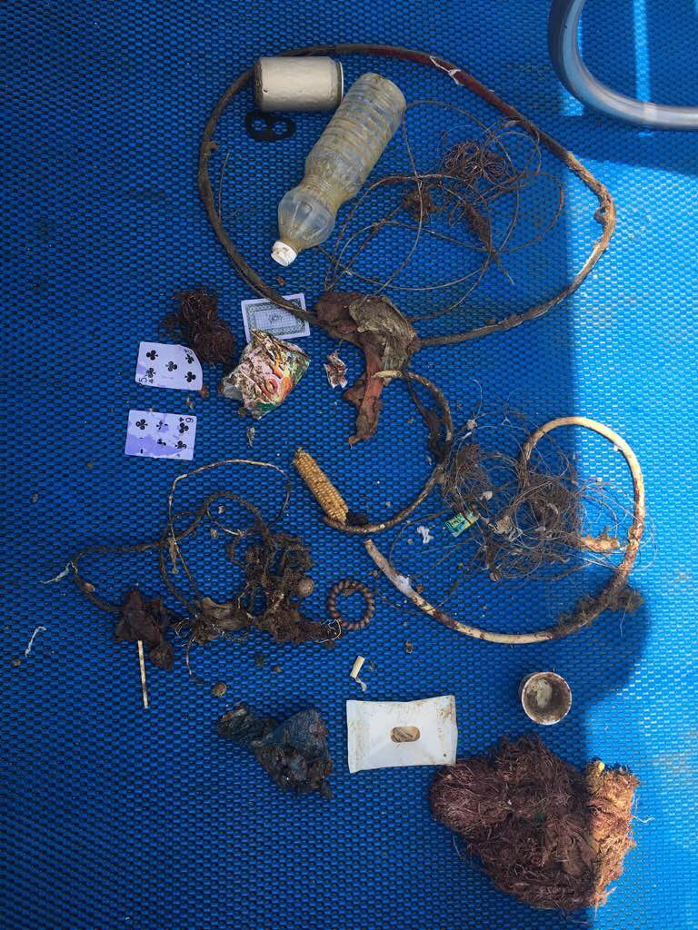
Strap with plastic clips
Goggles
Party beads
Sunglasses
Ring
Lei
Scrunchy
Quarter
Earring back
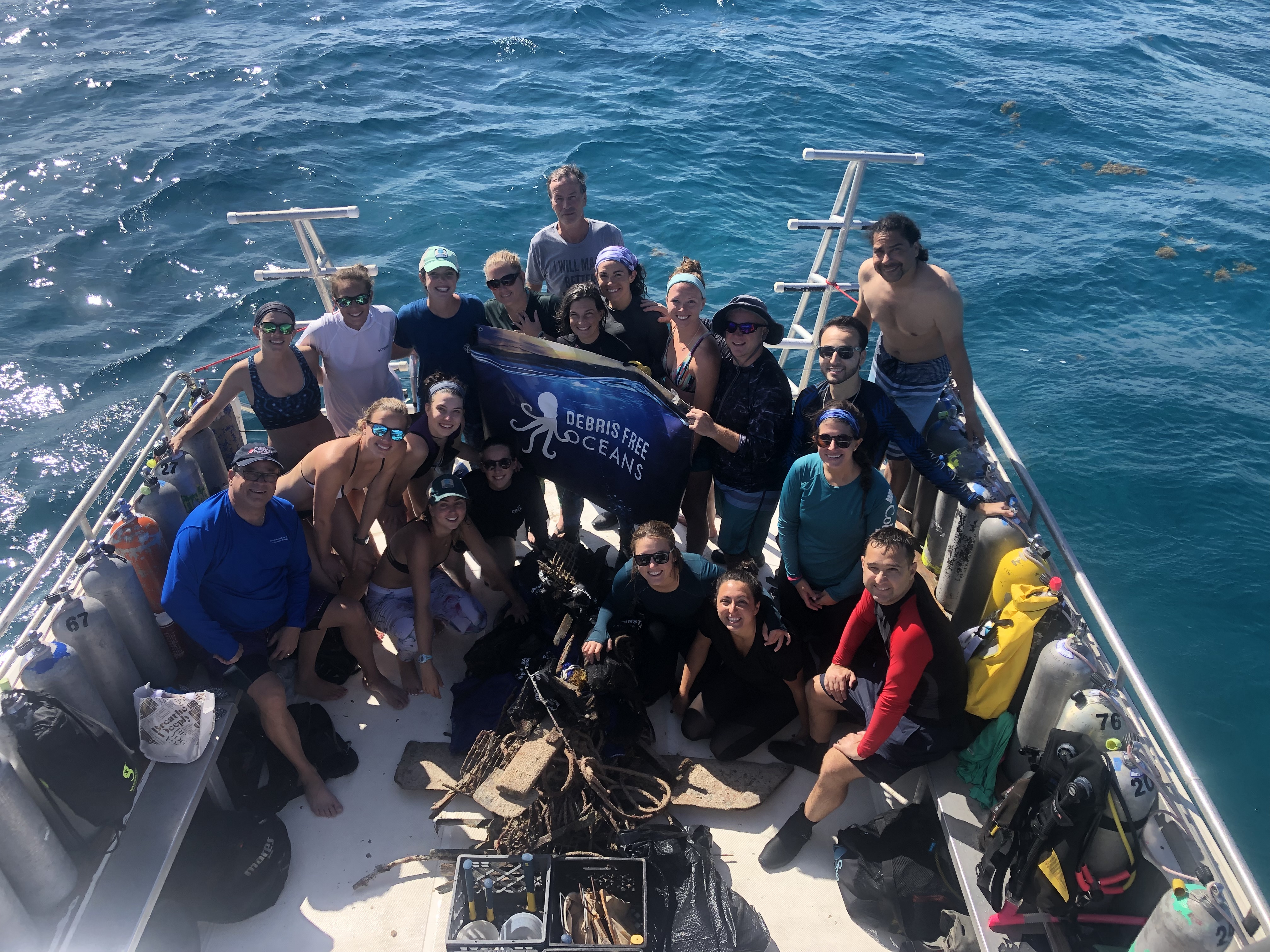
Dive World Austin
Todd Fisher
0
0
0
4
1
0
0
0
2
0
0
0
0
0
0
0
0
10
1
2
0
0
0
0
0
0
0
0
0
0
0
0
0
0
15.00
60
60.00
15.00
1
estimated
0
0
3129.57
0
0
0
0
0
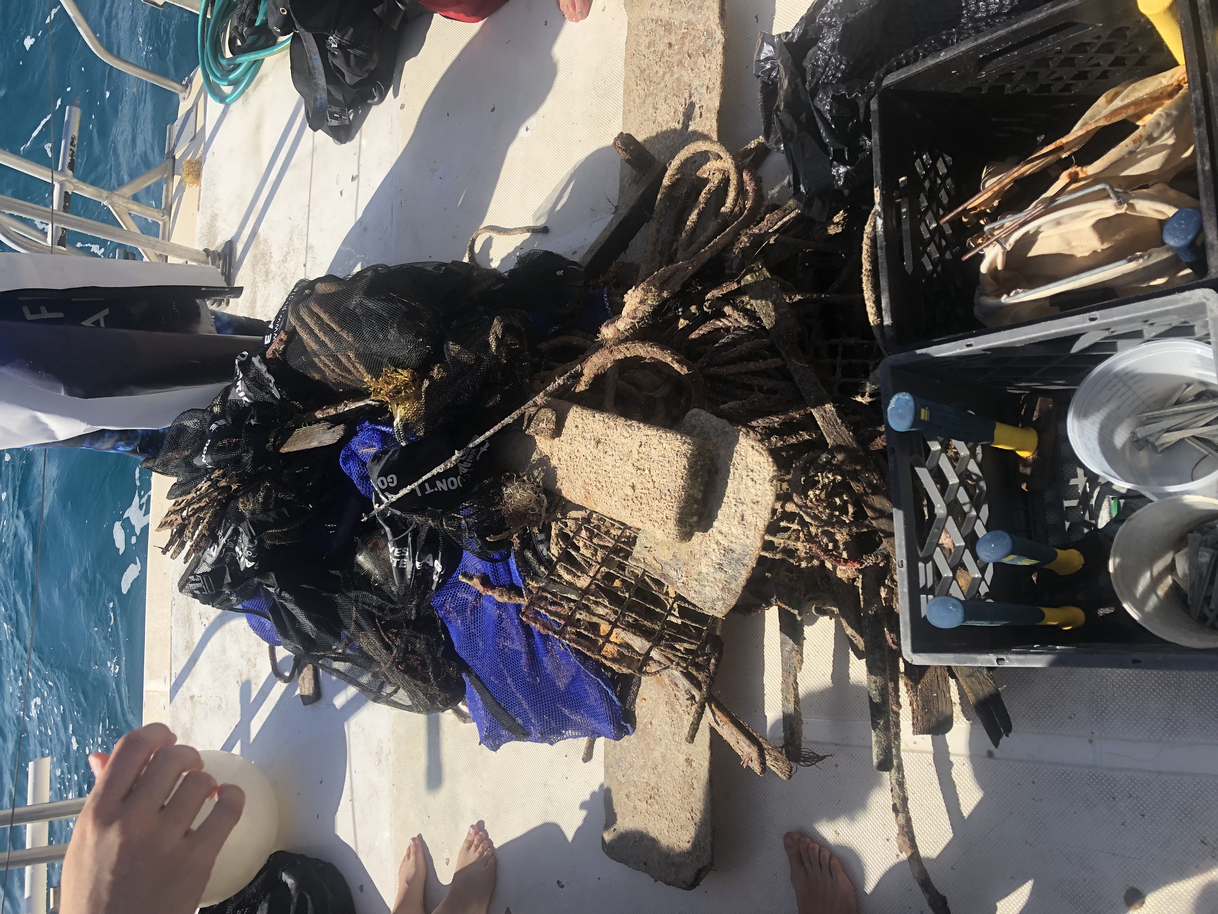
Aluminum cans
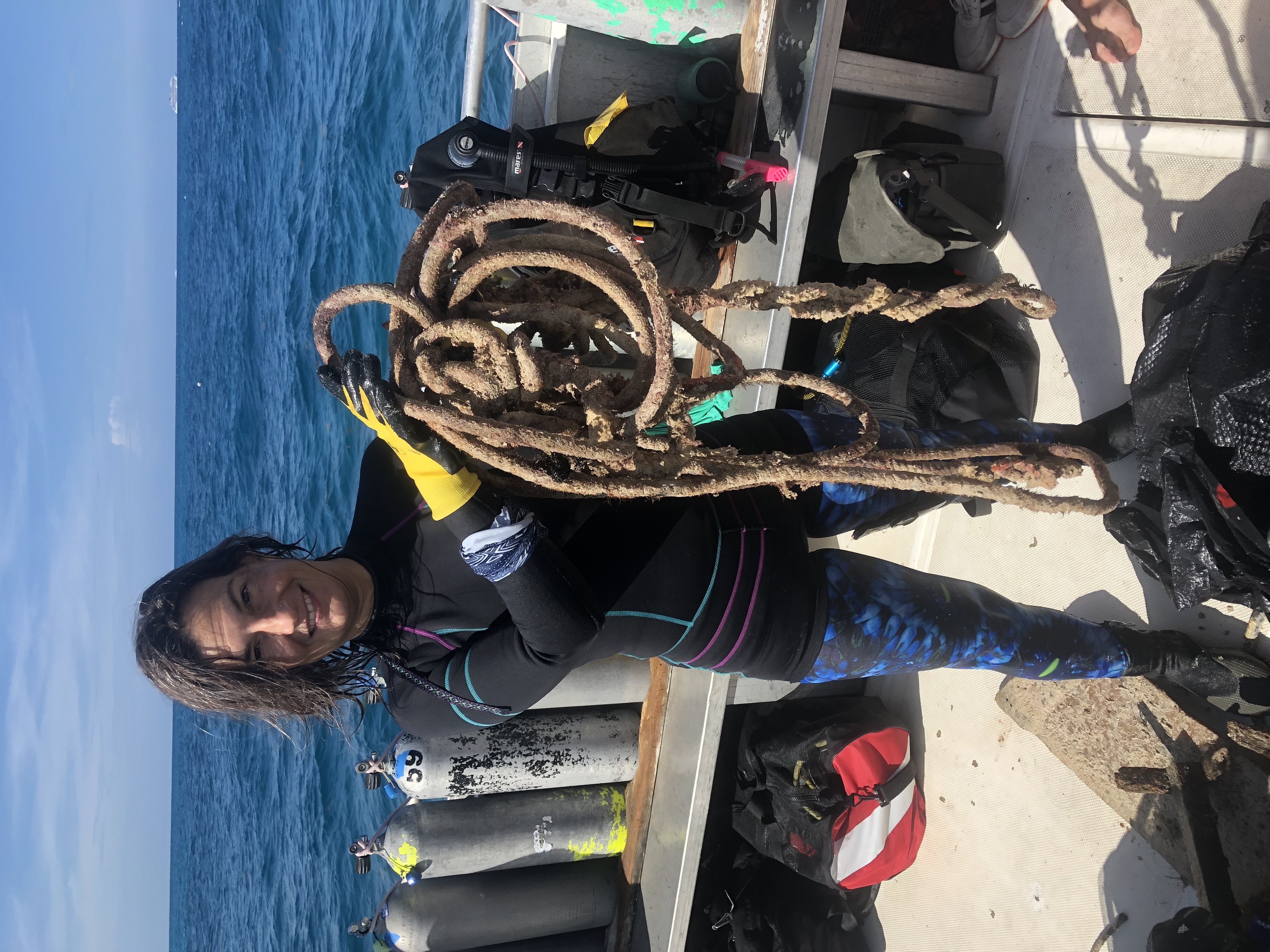
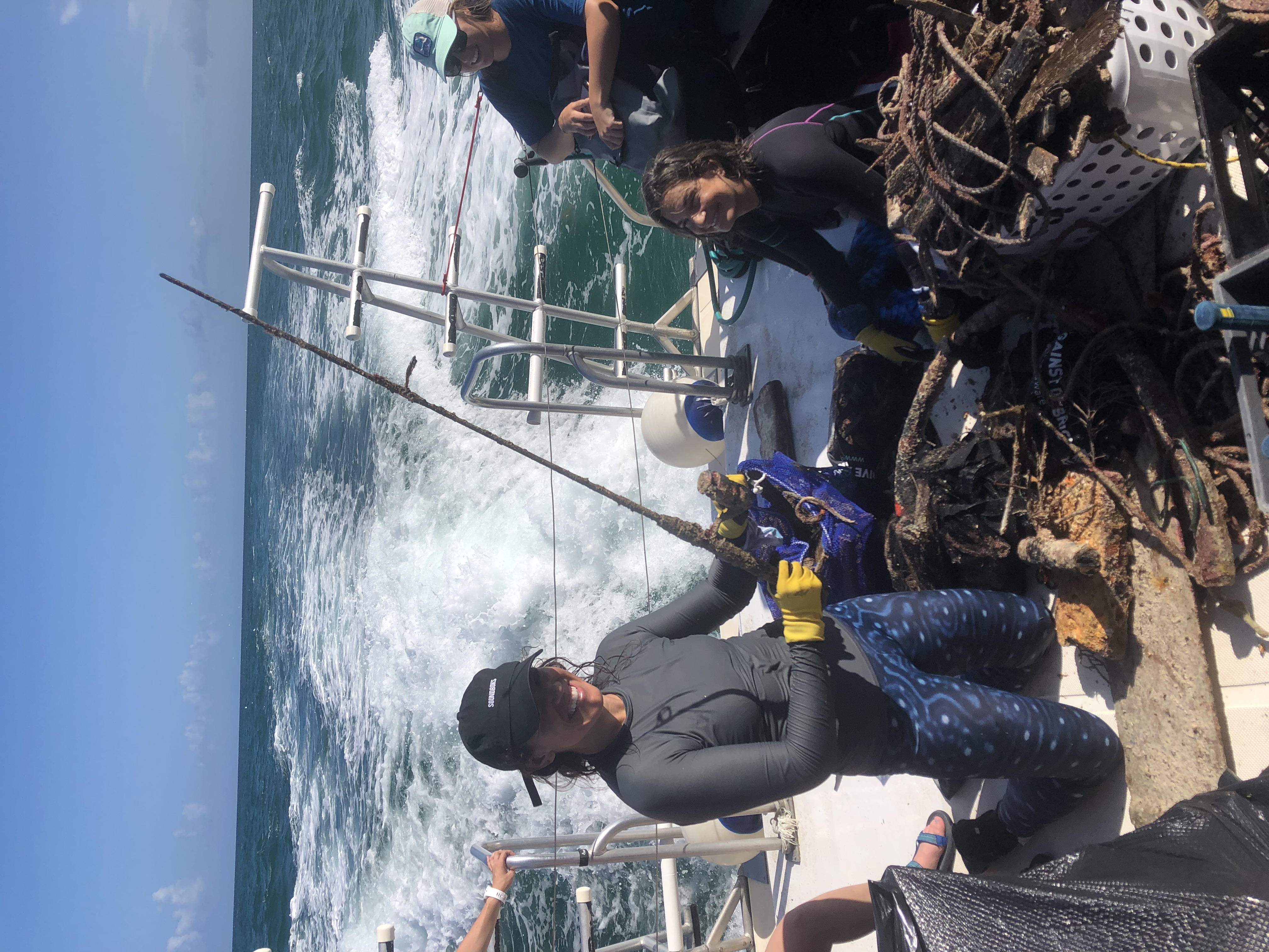
Rope
Fabric
2
On
pounds
0
I have debris data to report
7
0
0
Calm (glassy to rippled) for waves 0 – 0.1 meter high
0
0
0
0
1
0
0
ft2

0
3
feet
other
0
0
0
0
0
2
0
1
0
2
1
0
0
1
0
0
0
70
0
0
0
0
0
0
0
0
0
0
0
State\Province
Texas
City
Lago Vista
Map Help
Dive Location
If you know your survey site coordinates, enter them manually in decimal degrees using WGS84 Map Datum. Use the minus sign for latitudes south of the equator and longitudes west of the Prime Meridian to 180 degrees.
If you do not know your survey site coordinates, click the “Map Location” tab to use the map to zoom into your survey site and drop the pin on the map to fall within your survey dive site in the water (not on land or the beach). Ensure you zoom in as much as possible to ensure data accuracy.
Entangled Help