Sand Pool
24.801361, -80.683083
16
24.801382061392, -80.682938517461
Hurricane Irma, heavy pressure on commercial fishing
windy/stormy
Key Dives/FKNMS
Cortney Benson
21
8
57.00
45
45.00
35.00
measured
6
50.00
anchor rope
fishing line
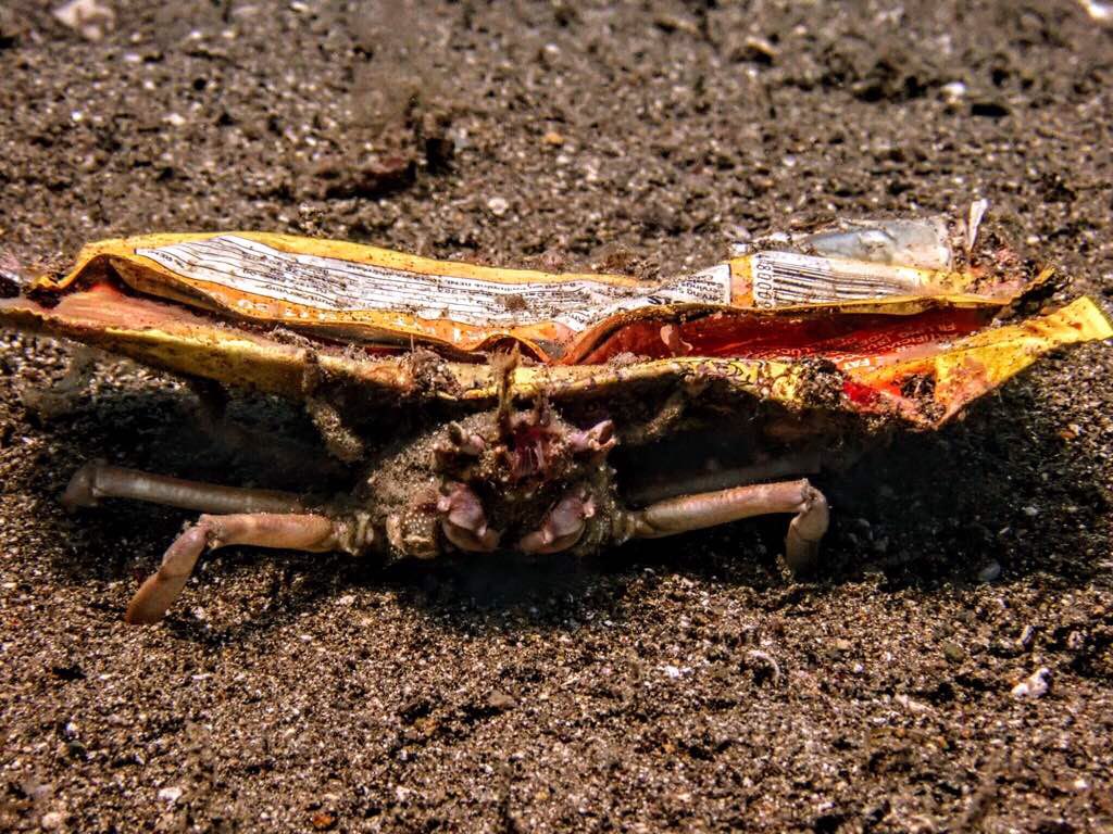
metal crab trap parts
On
pounds
I have debris data to report
Moderate to rough for waves greater than 1.25 meters
3
m2


20
2
feet
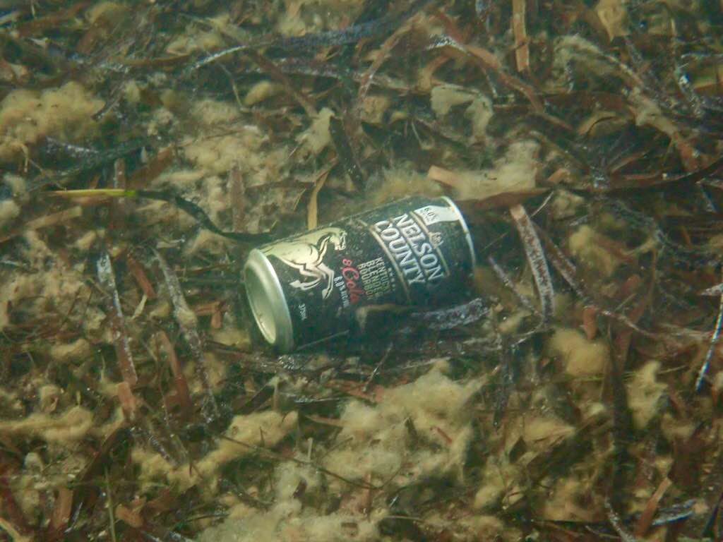
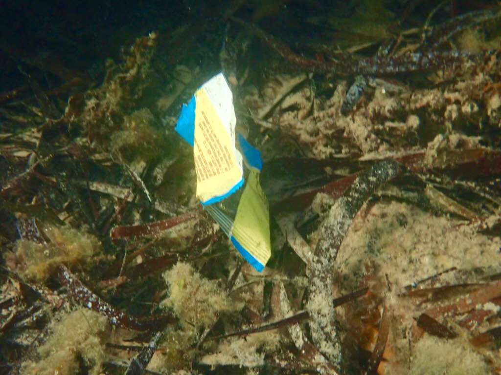
coral reef
State\Province
Florida
City
Islamorada
Map Help
Dive Location
If you know your survey site coordinates, enter them manually in decimal degrees using WGS84 Map Datum. Use the minus sign for latitudes south of the equator and longitudes west of the Prime Meridian to 180 degrees.
If you do not know your survey site coordinates, click the “Map Location” tab to use the map to zoom into your survey site and drop the pin on the map to fall within your survey dive site in the water (not on land or the beach). Ensure you zoom in as much as possible to ensure data accuracy.
Entangled Help