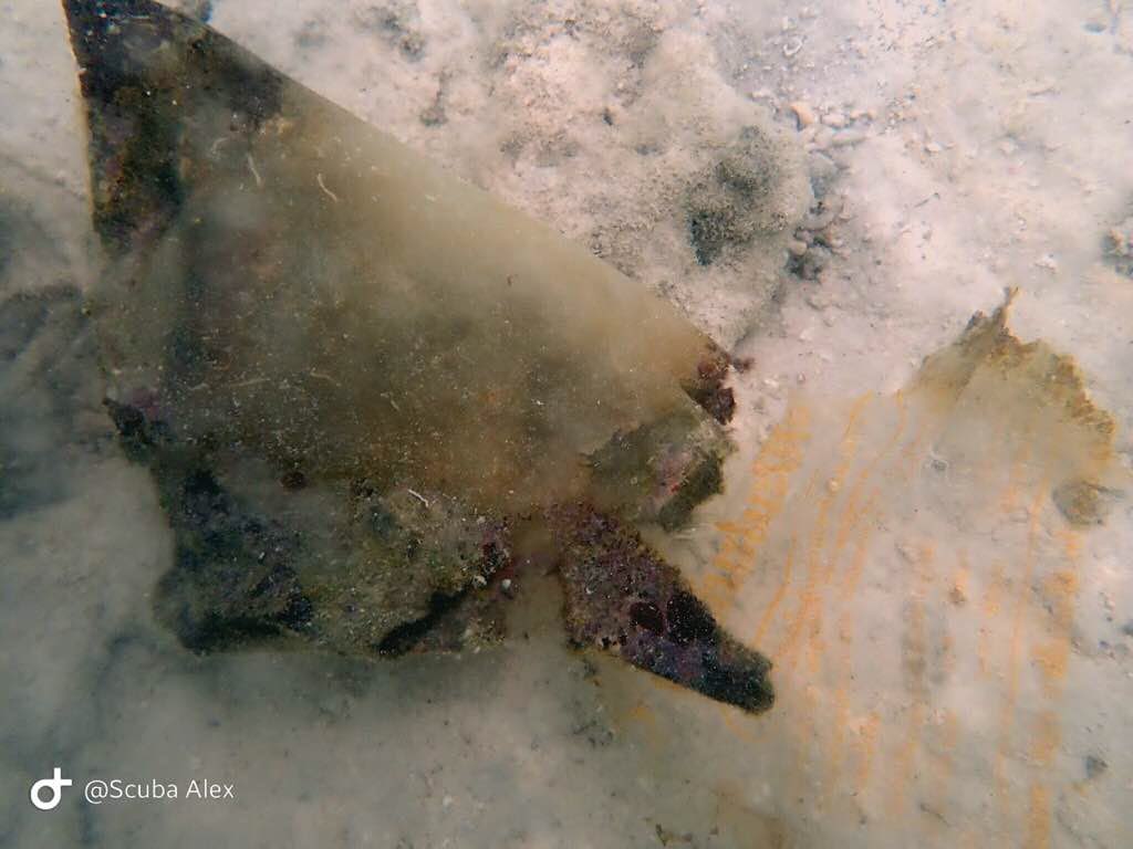
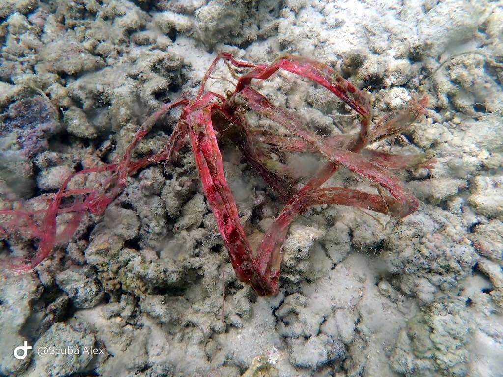
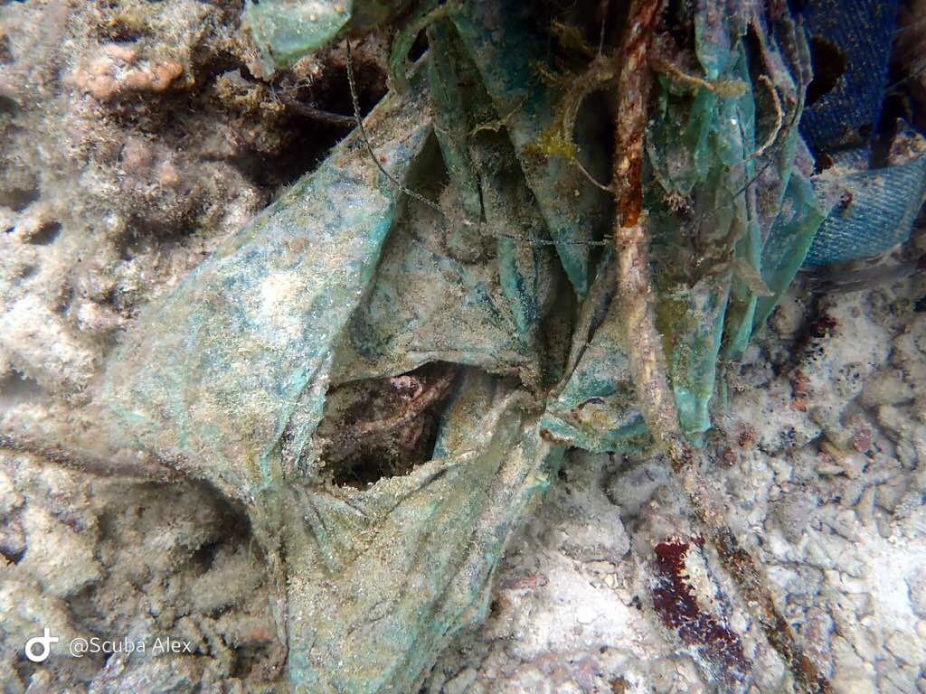
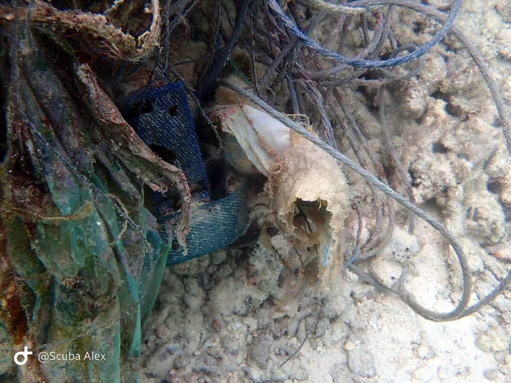
Sunset House Hotel House Reef
2
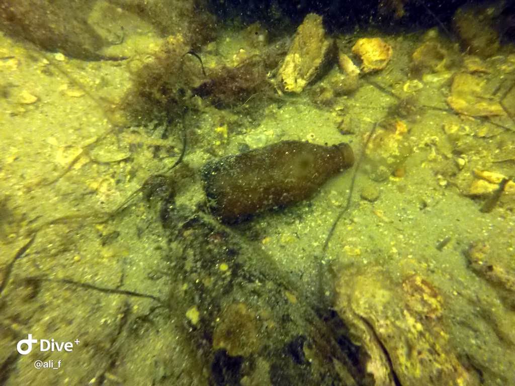
sand
19.285688048801, -81.391741218691
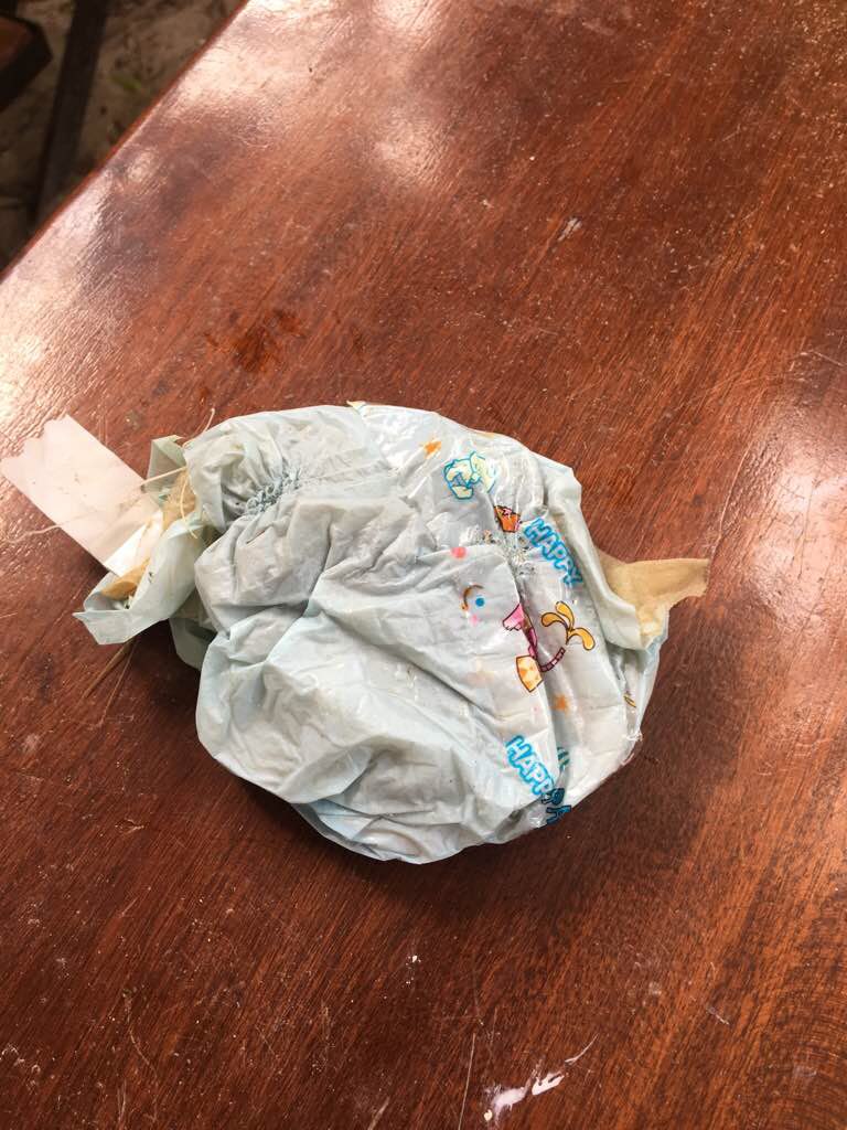
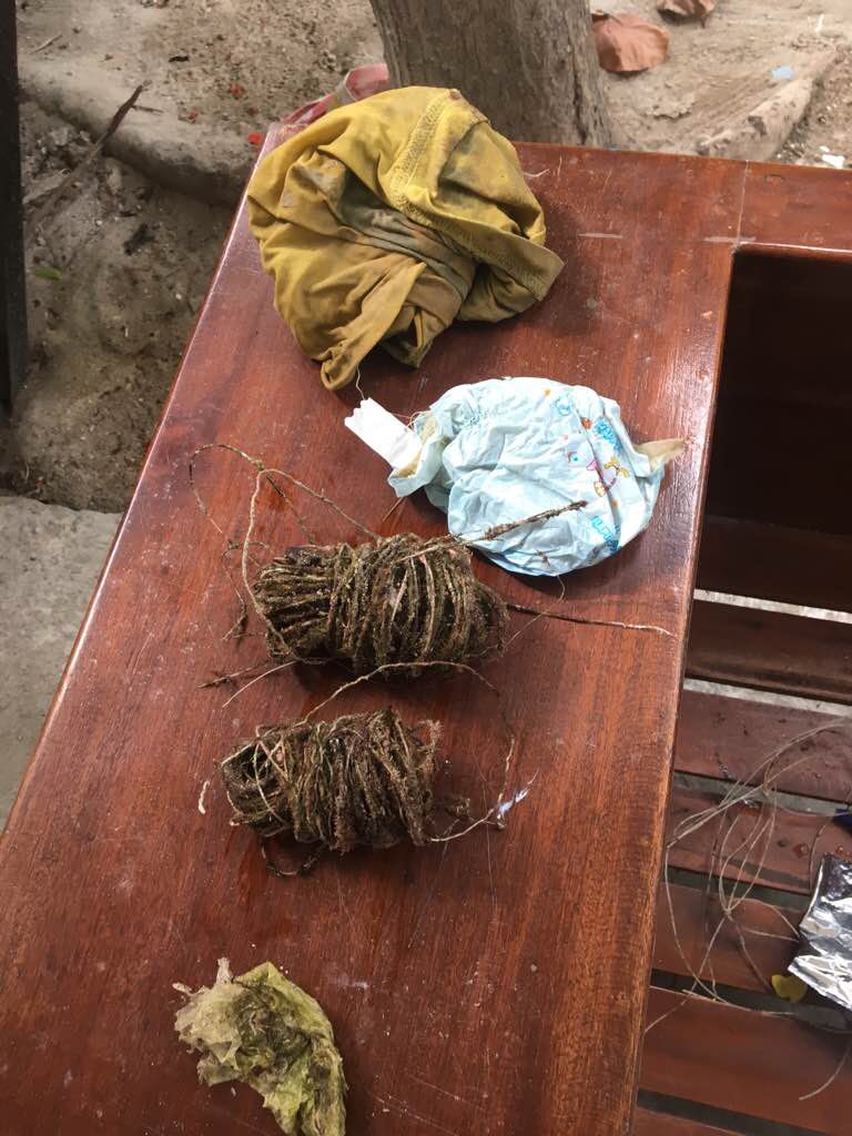
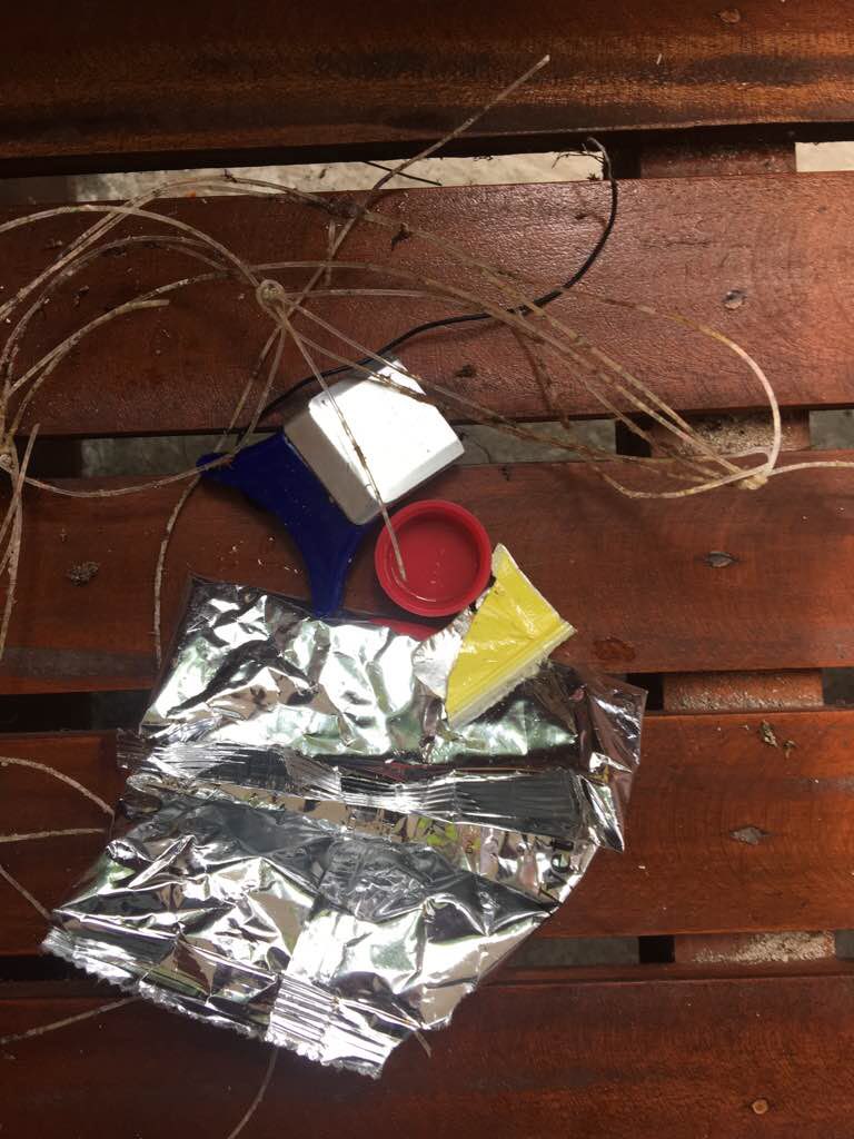
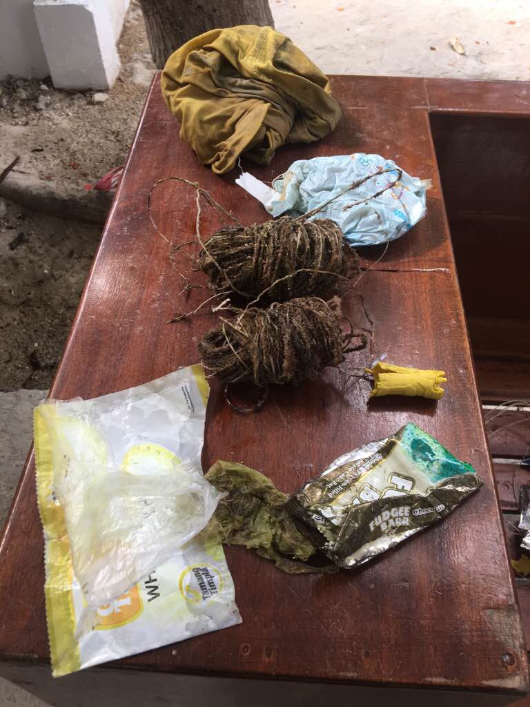
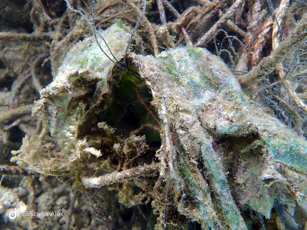
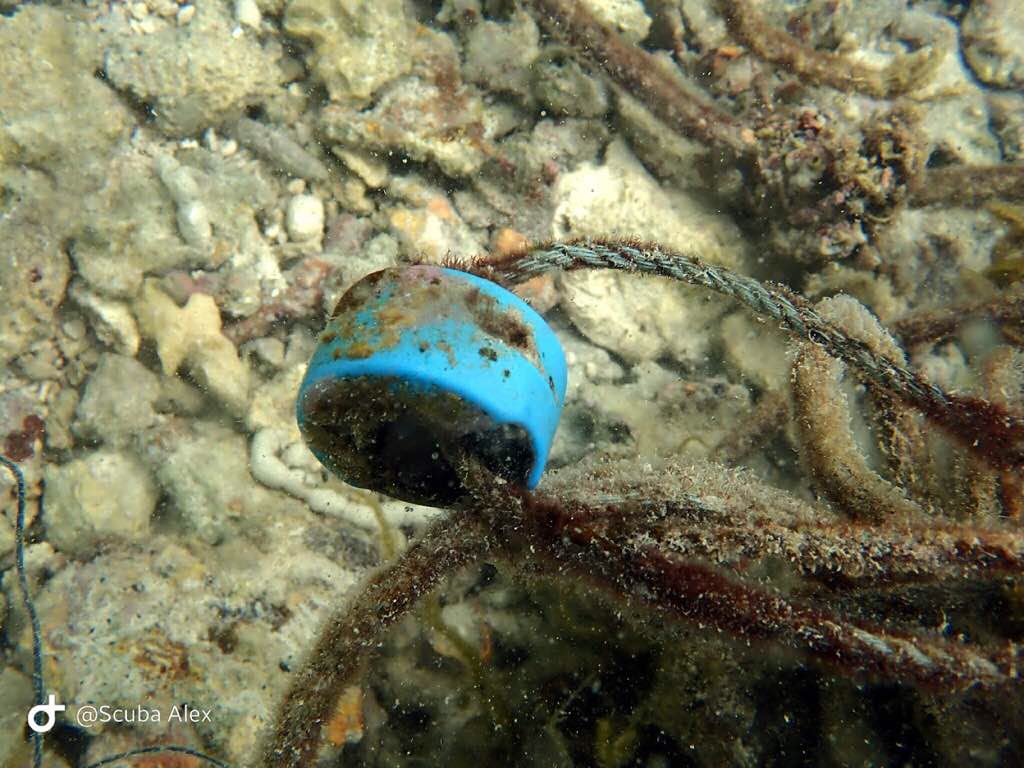
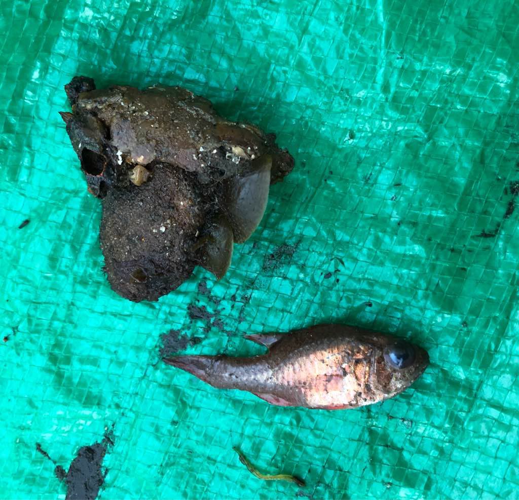
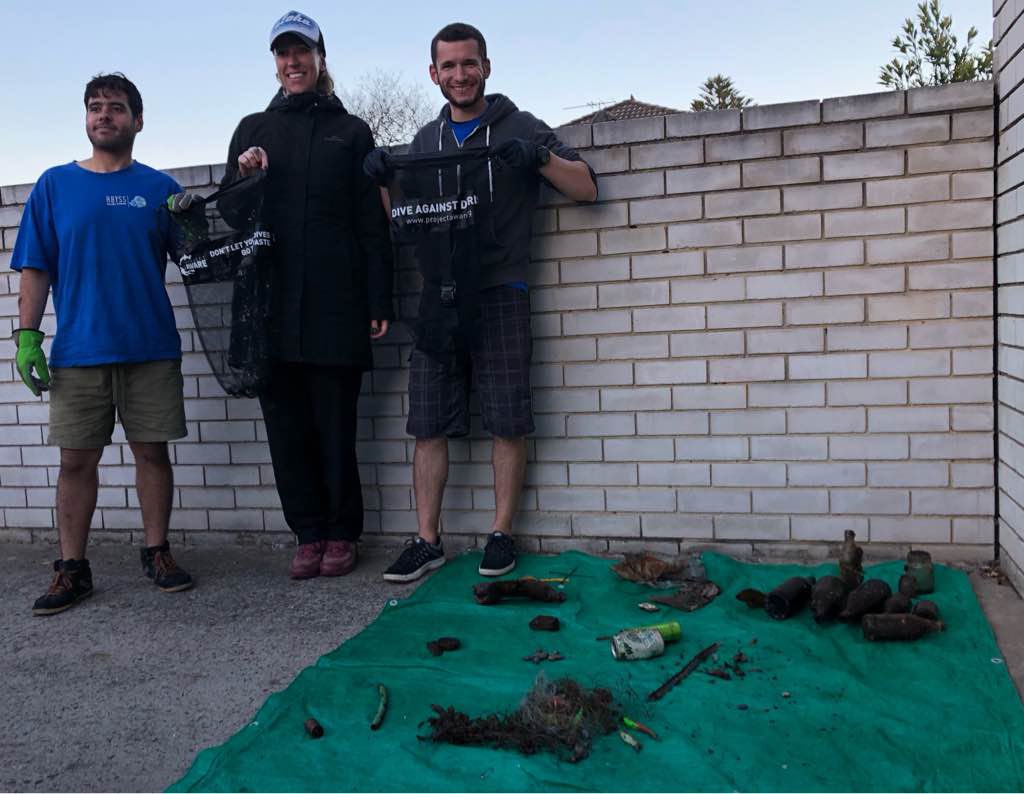
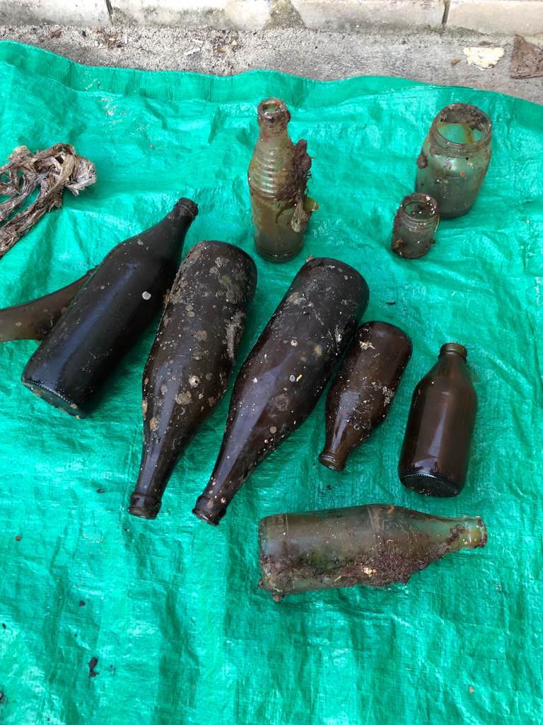
Overall very clean, only minimal debris
None
warm, scattered showers, sunny
Rupert Mayer
1
1
6
2.00
31
22.00
10.00
estimated
60000.00
1
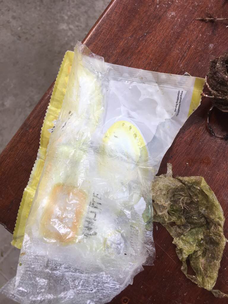
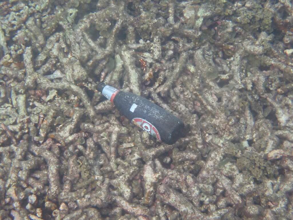
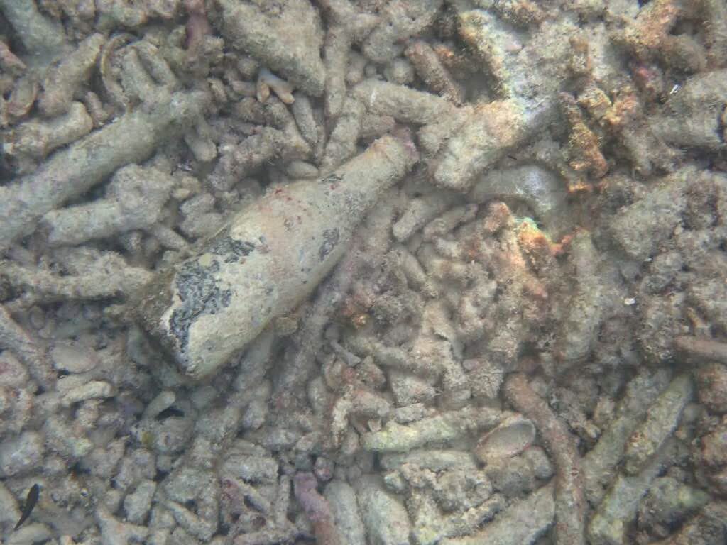
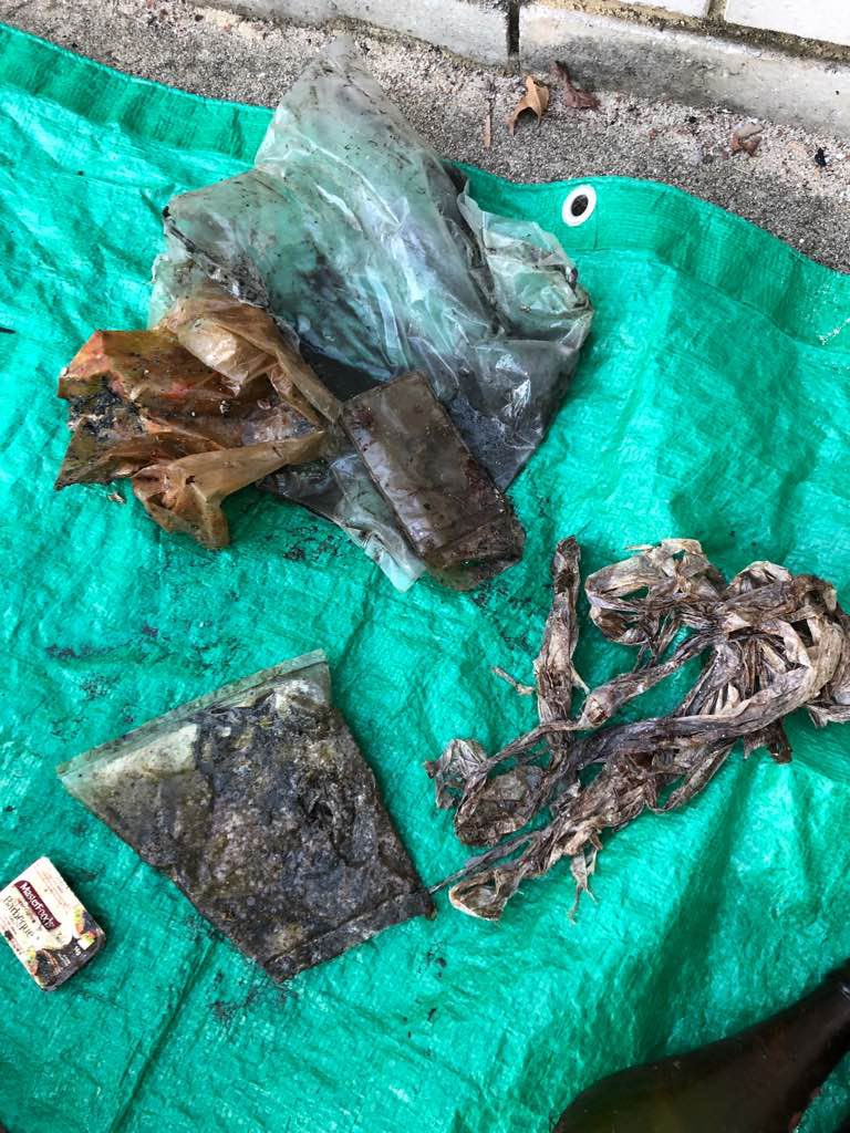
plastic
plastic bootles
1
On
pounds
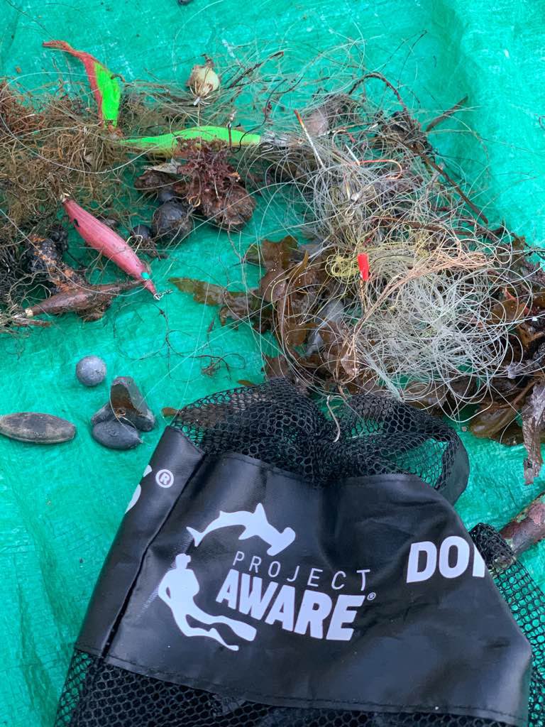
I have debris data to report
Smooth (wavelets) for waves 0.1 - 0.5 meter high
1
0
ft2
feet
coral reef
2
5
Map Help
Dive Location
If you know your survey site coordinates, enter them manually in decimal degrees using WGS84 Map Datum. Use the minus sign for latitudes south of the equator and longitudes west of the Prime Meridian to 180 degrees.
If you do not know your survey site coordinates, click the “Map Location” tab to use the map to zoom into your survey site and drop the pin on the map to fall within your survey dive site in the water (not on land or the beach). Ensure you zoom in as much as possible to ensure data accuracy.
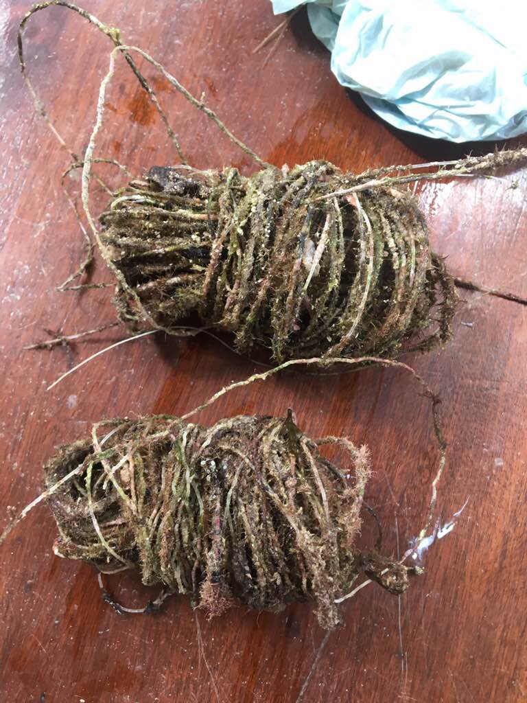
Entangled Help