Shark Bay
7
9
1
8
10.06252, 99.831148
0
0
0
sand
0
2
0
2
0
Sighting of Blacktip reef sharks, small hawksbill and big green turtle
Proximity with beach/resort
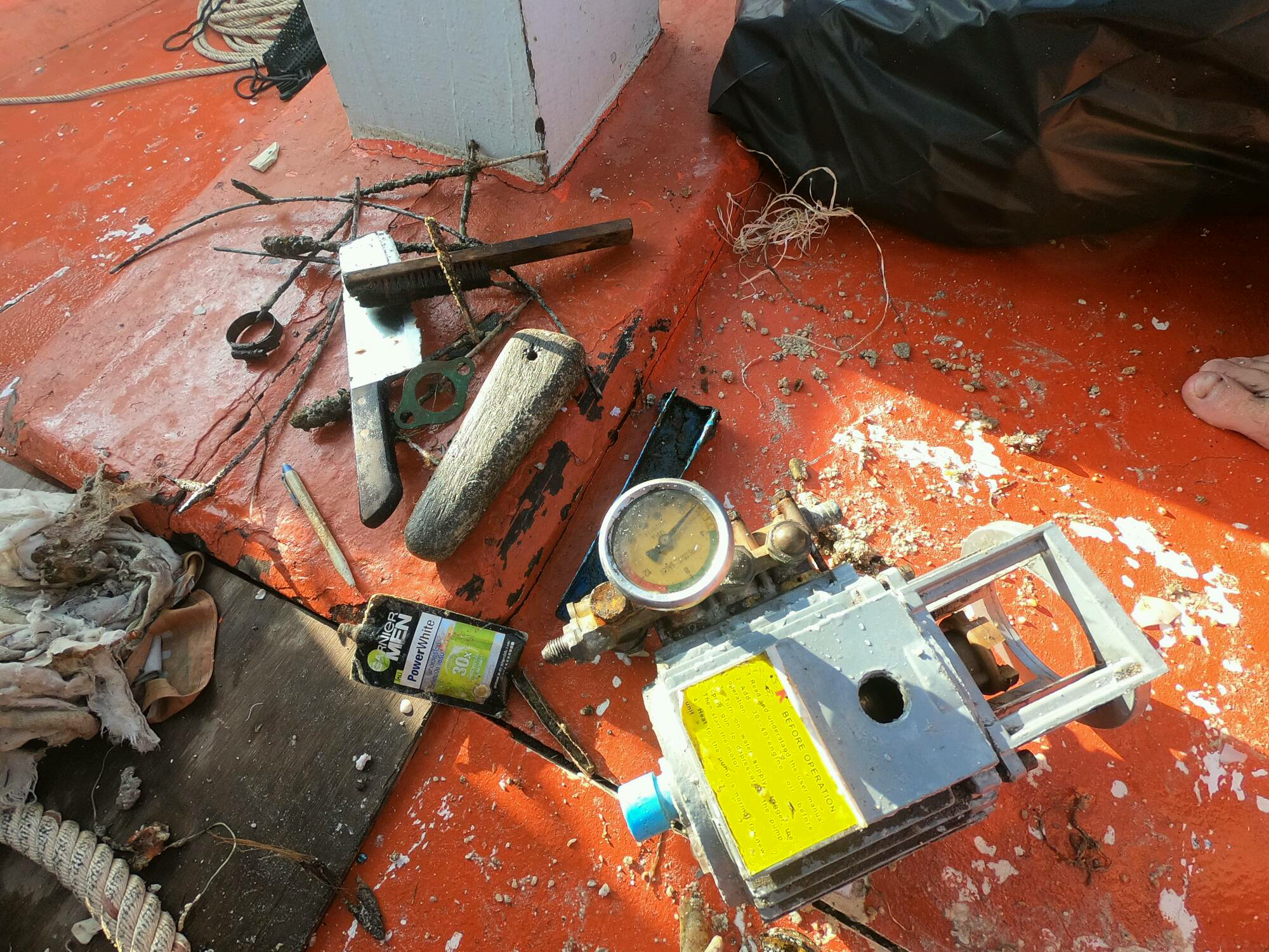
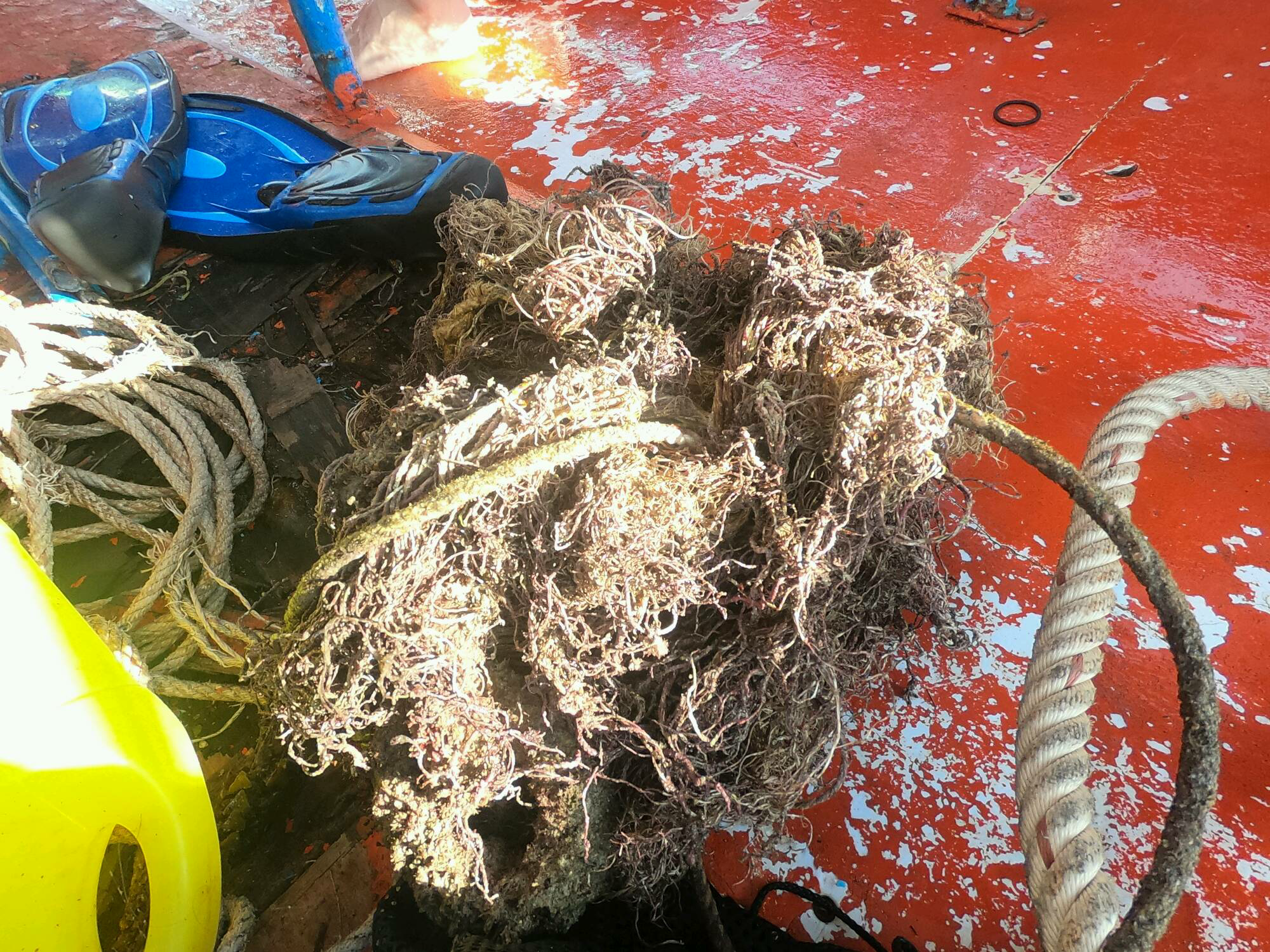
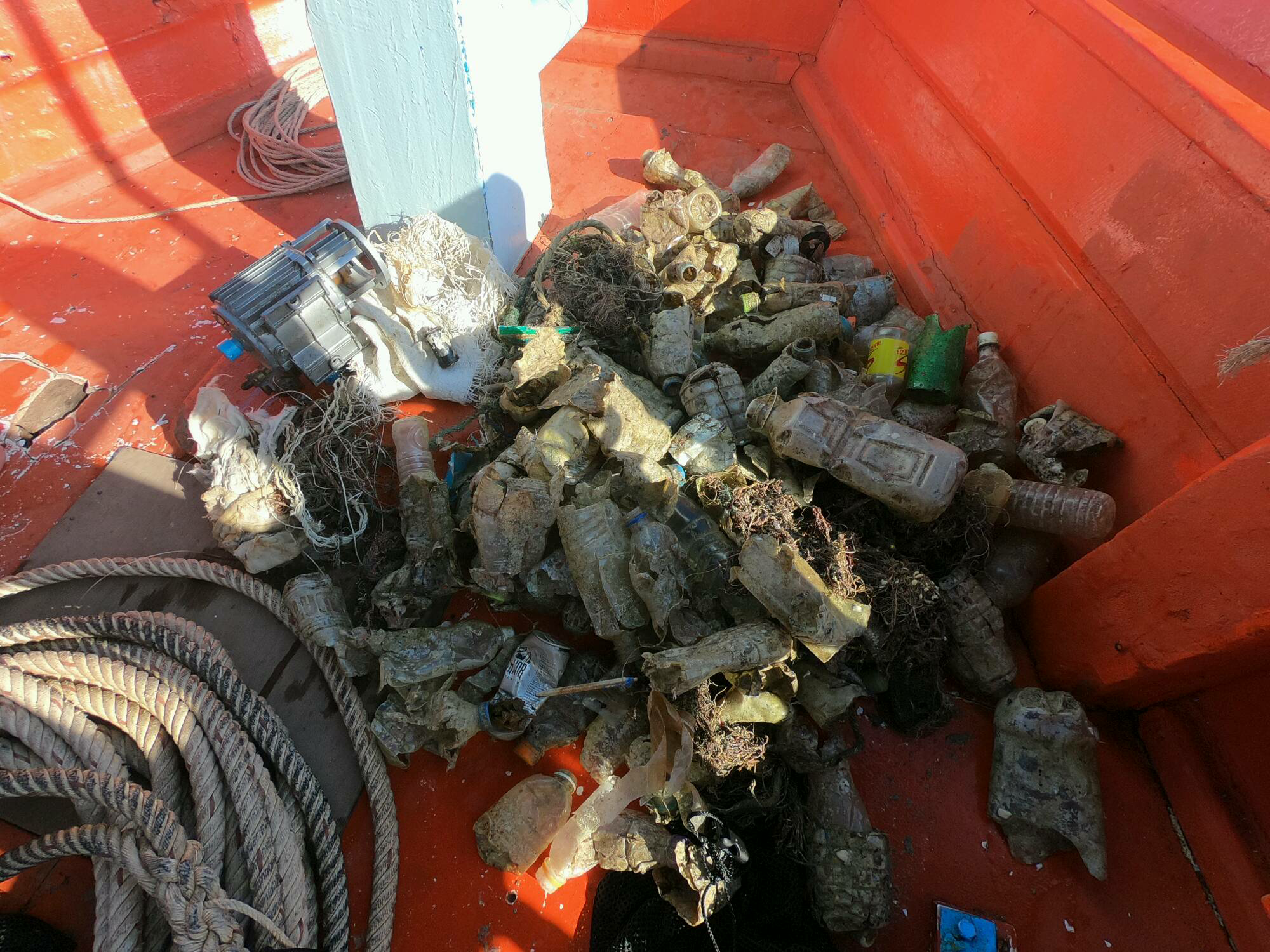
Water pump and big cooking knife
Slight wind on west coast, Shark Bay (east coast) sheltered
New Way Diving
Patricia De Brito
0
4
0
0
0
0
0
0
1
1
0
0
0
0
0
0
0
22
1
5
0
0
0
0
0
0
148
0
0
0
0
0
0
0
0
0
28.00
38
6.00
3.00
4
measured
0
0
0
2
73.62
0
0
2
0
0
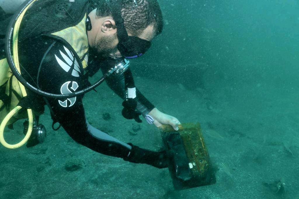
Plastic bottles
Food wrappers
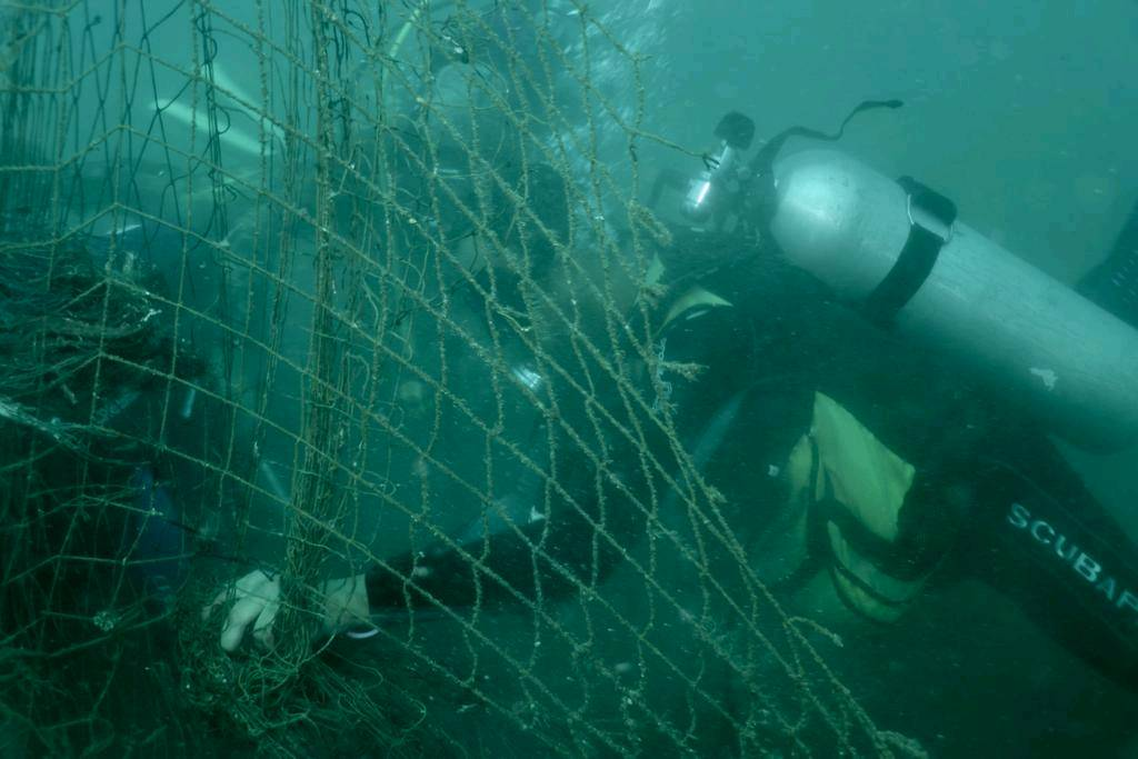
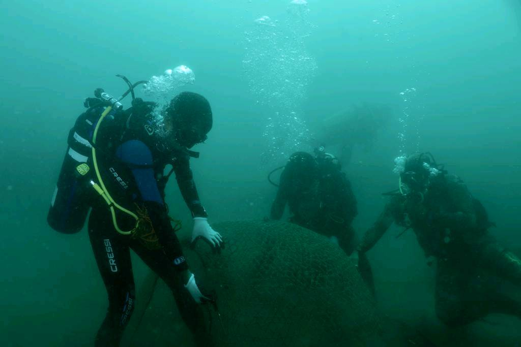
Ghost fishing lines
1
On
kilograms
0
I have debris data to report
3
0
0
Calm (glassy to rippled) for waves 0 – 0.1 meter high
3
0
1
0
0
0
0
m2
0
2
meters
coral reef
8
0
5
0
1
4
0
1
0
0
1
0
0
0
0
0
0
1
0
0
0
0
10
2
1
0
0
1
0
State\Province
Surat Thani
City
Koh Tao
Map Help
Dive Location
If you know your survey site coordinates, enter them manually in decimal degrees using WGS84 Map Datum. Use the minus sign for latitudes south of the equator and longitudes west of the Prime Meridian to 180 degrees.
If you do not know your survey site coordinates, click the “Map Location” tab to use the map to zoom into your survey site and drop the pin on the map to fall within your survey dive site in the water (not on land or the beach). Ensure you zoom in as much as possible to ensure data accuracy.
Entangled Help