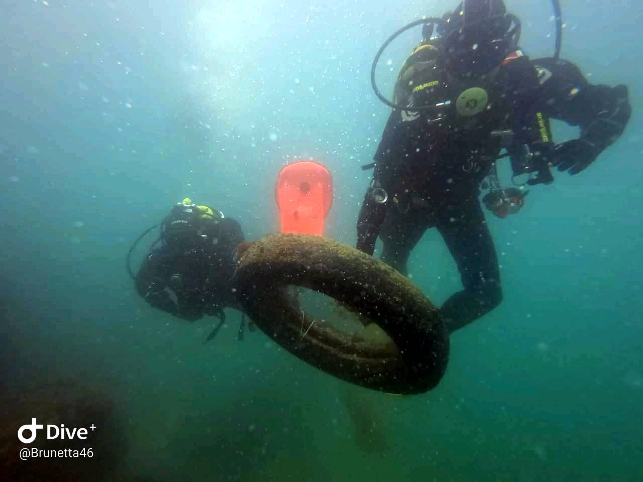
Enseada do Cardeiro - Arraial do Cabo - Brazil
-22.965545515723, -42.001762390137
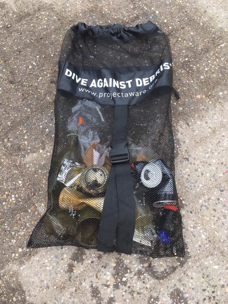
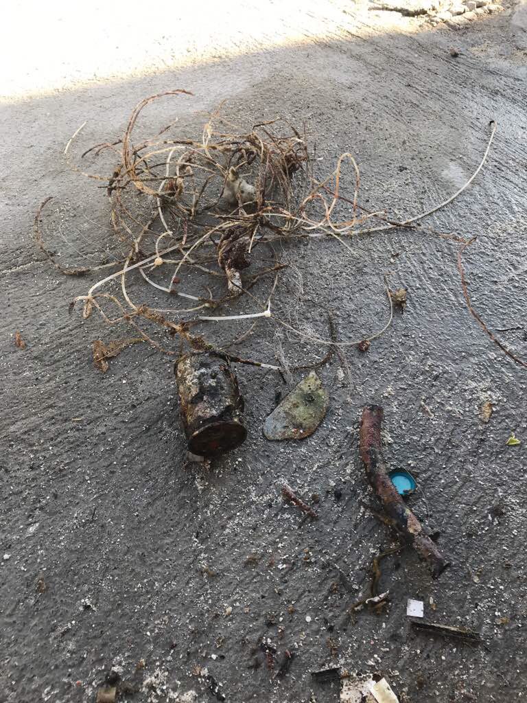
We were impressed by the low amount of debris !!!
That's good!!!
That's good!!!
Excellent
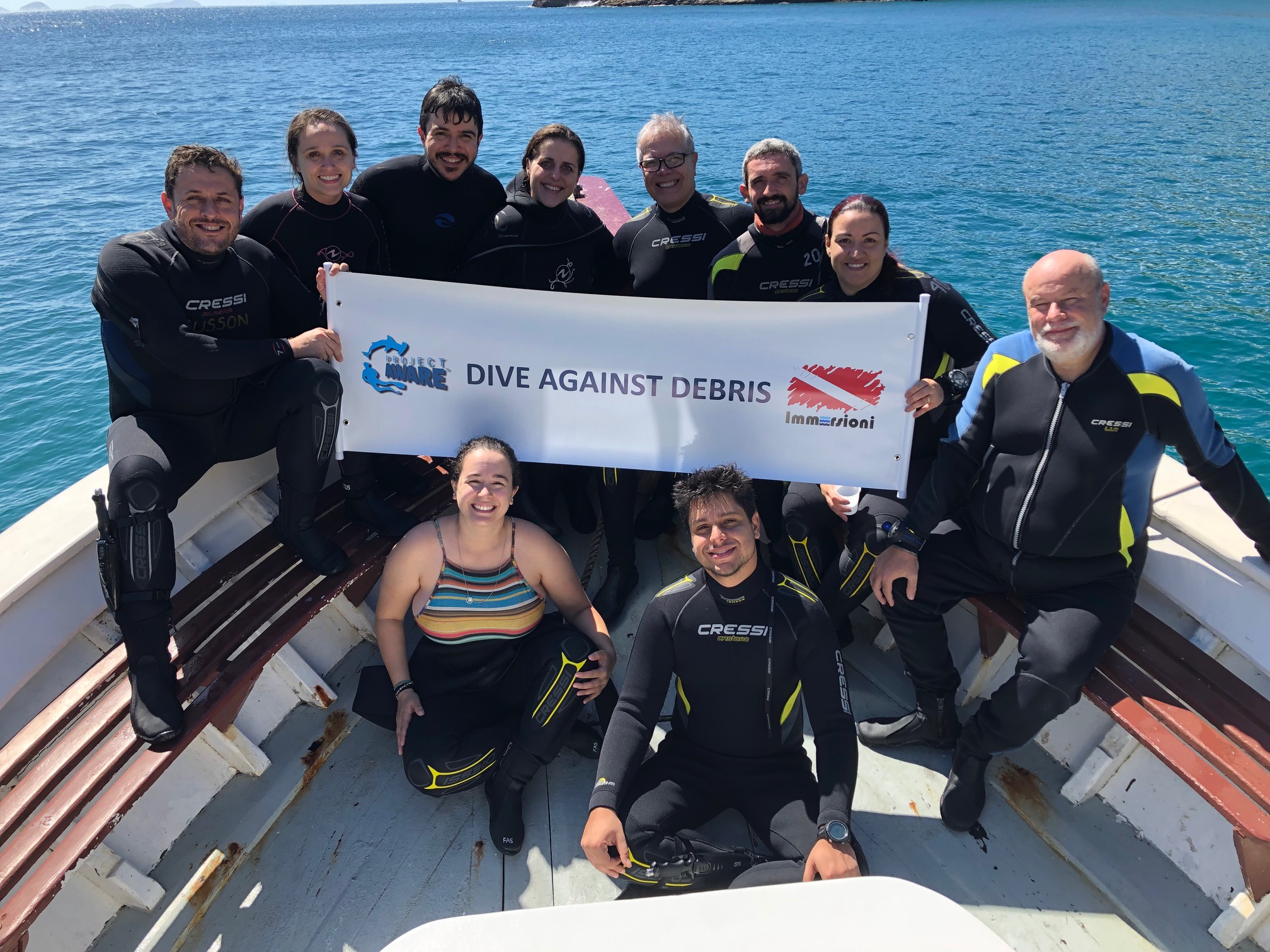
Immersioni
André Gusson
10
1
1
0.20
48
12.00
6.00
estimated
62.00
On
kilograms
Our Survey Site was free of debris
Calm (glassy to rippled) for waves 0 – 0.1 meter high
m2
meters
coral reef
State\Province
São Paulo
City
São Paulo
Map Help
Dive Location
If you know your survey site coordinates, enter them manually in decimal degrees using WGS84 Map Datum. Use the minus sign for latitudes south of the equator and longitudes west of the Prime Meridian to 180 degrees.
If you do not know your survey site coordinates, click the “Map Location” tab to use the map to zoom into your survey site and drop the pin on the map to fall within your survey dive site in the water (not on land or the beach). Ensure you zoom in as much as possible to ensure data accuracy.
Entangled Help