ADS 126 - Chilpo Beach Northern Rocky Outcrop
2
6
36.136089, 129.398324
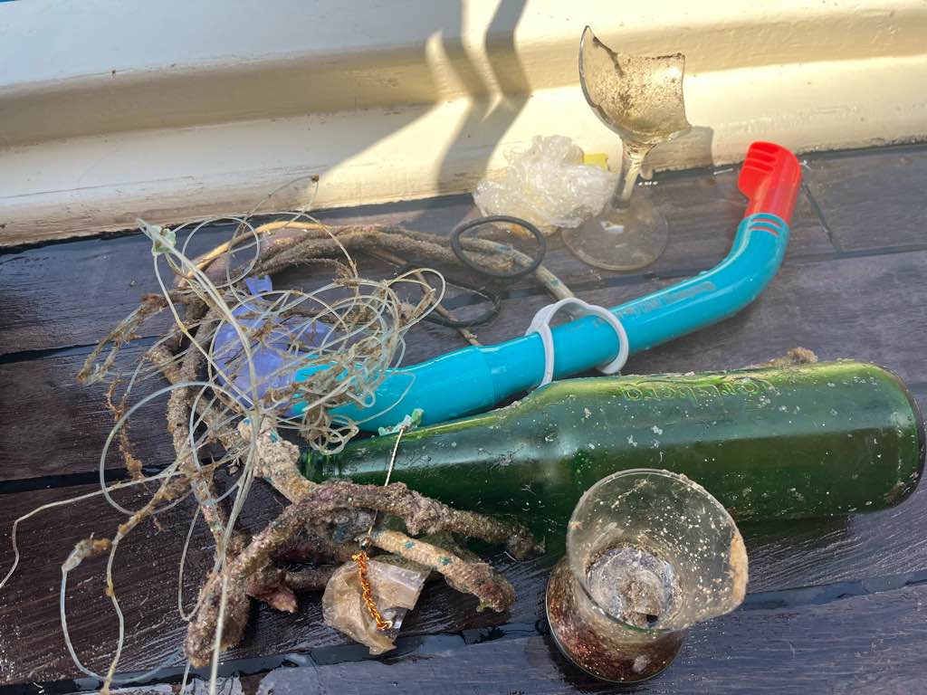
There was not much trash, but it wasan amazing dive in terms of marine life! I have never seen so many fish and so many different species of fish all together. Spotted my first cornetfish at this location! Simple beautiful. Full video of the dive here: https://youtu.be/CkLYMW3un5I
Swimming goggles
Rain a fewe days
Dive Against Debris Korea (Daegu)
William Henderson
1
1
1
1
7.00
54
5.00
1.00
estimated
140.00
1
On
kilograms
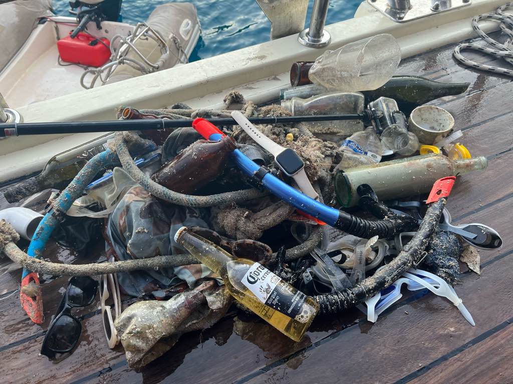
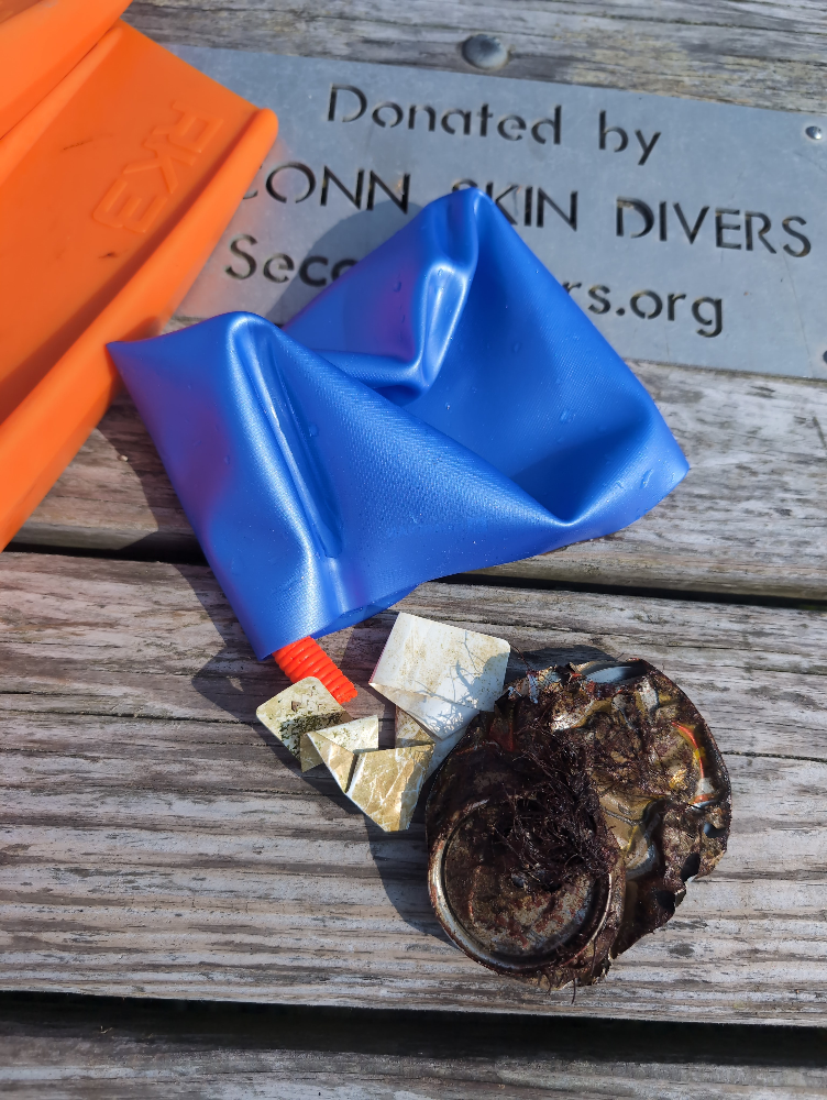
I have debris data to report
Smooth (wavelets) for waves 0.1 - 0.5 meter high
1
1
m2


3
meters
rocky reef
1
1
1
State\Province
Gyeongbukdo
City
Pohang
Map Help
Dive Location
If you know your survey site coordinates, enter them manually in decimal degrees using WGS84 Map Datum. Use the minus sign for latitudes south of the equator and longitudes west of the Prime Meridian to 180 degrees.
If you do not know your survey site coordinates, click the “Map Location” tab to use the map to zoom into your survey site and drop the pin on the map to fall within your survey dive site in the water (not on land or the beach). Ensure you zoom in as much as possible to ensure data accuracy.
Entangled Help