Portsmouth Beach Hotel Reef & Jetty
23
1
sand
6
29
15.554187974024, -61.462362220149
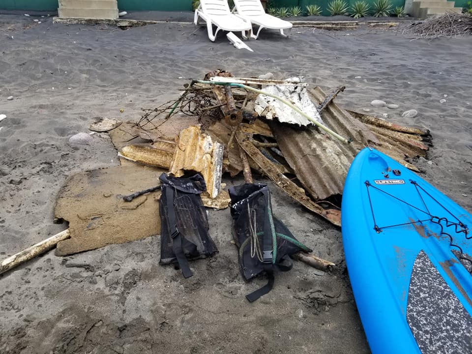
hurricane maria - this is where most of the galvanized (metal fragments) cinder block fragments etc came from. even the appliances rebar etc probably came from hurricane
2 cow skulls!
mostly sunny
1
Fencing
SALT/ Our Salty Passports
Kayla
16
3
28
5
6
1
4
7
2
3
365.00
45
25.00
7.00
4
estimated
105577.00
1
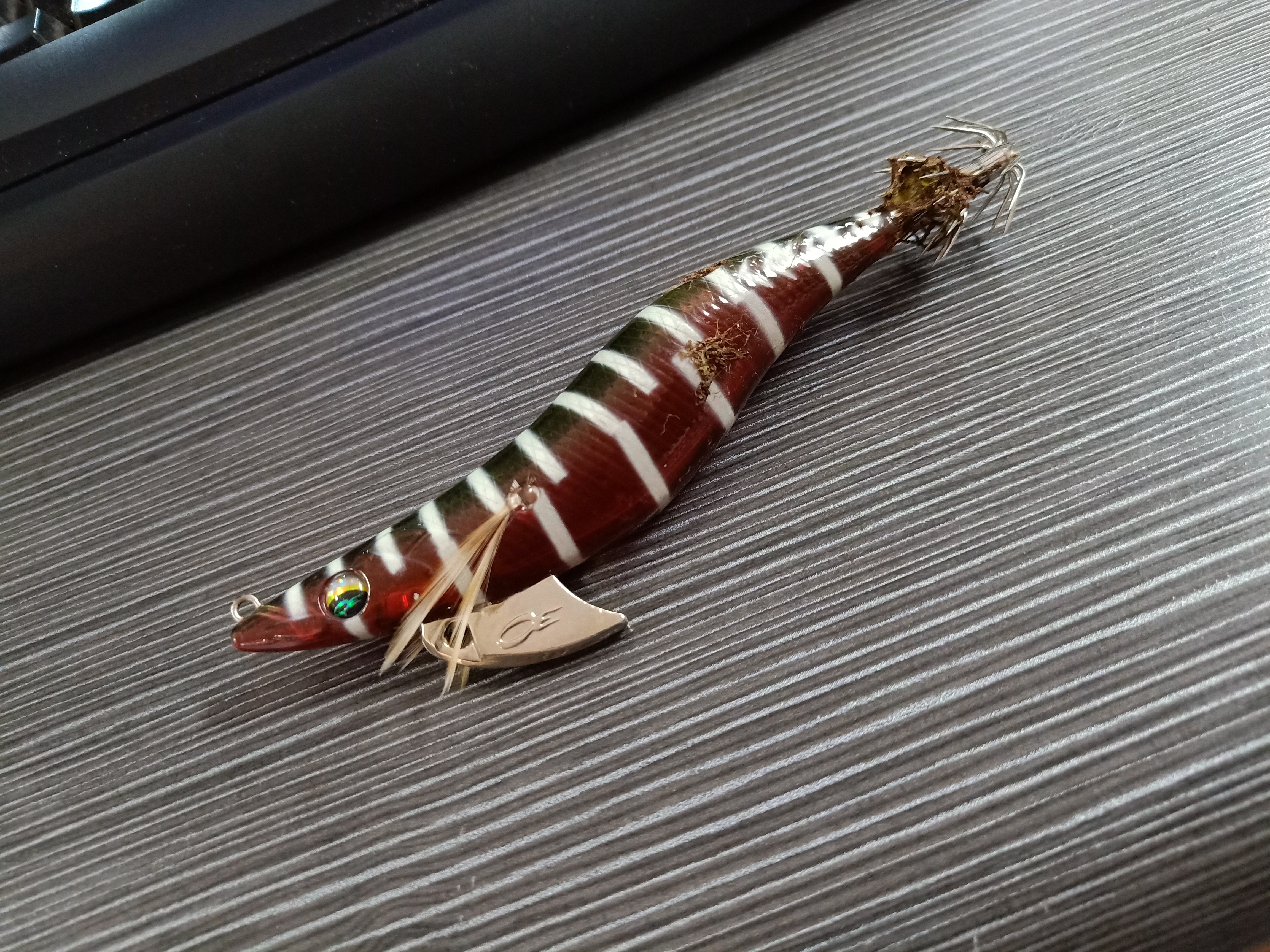
galvanize and hurricane debris
On
pounds
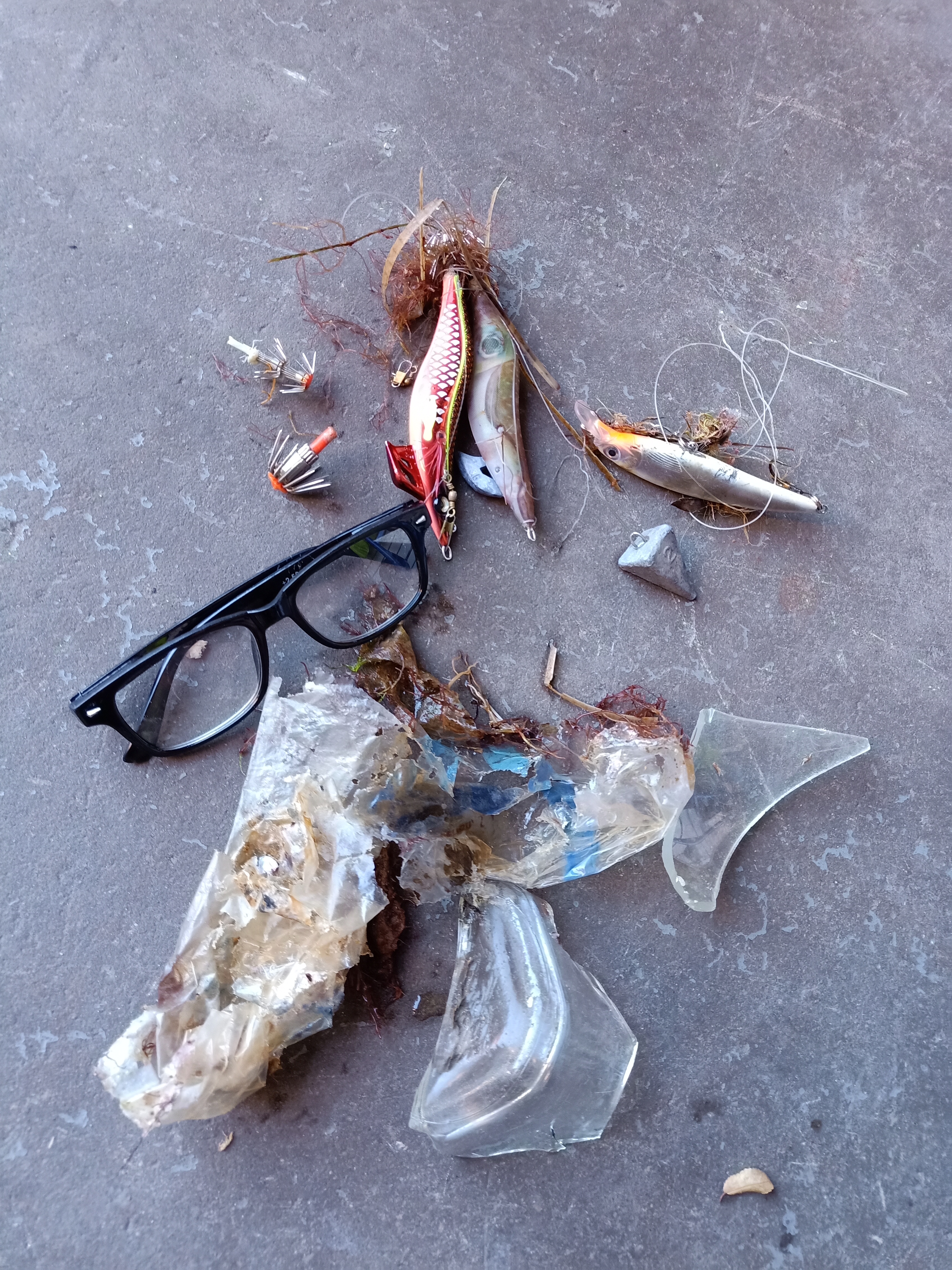
I have debris data to report
17
9
Calm (glassy to rippled) for waves 0 – 0.1 meter high
2
ft2
feet
coral reef
27
13
5
1
2
2
5
1
1
State\Province
St John
City
Portsmouth
Map Help
Dive Location
If you know your survey site coordinates, enter them manually in decimal degrees using WGS84 Map Datum. Use the minus sign for latitudes south of the equator and longitudes west of the Prime Meridian to 180 degrees.
If you do not know your survey site coordinates, click the “Map Location” tab to use the map to zoom into your survey site and drop the pin on the map to fall within your survey dive site in the water (not on land or the beach). Ensure you zoom in as much as possible to ensure data accuracy.
Entangled Help