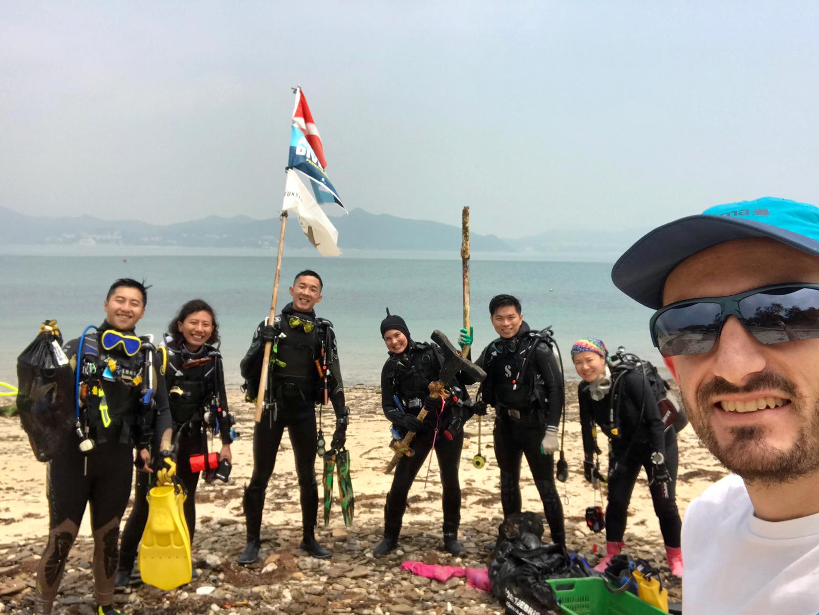
ADS323 - Tung Ping Chau
70
96
4
6
22.545909, 114.431823
8
8
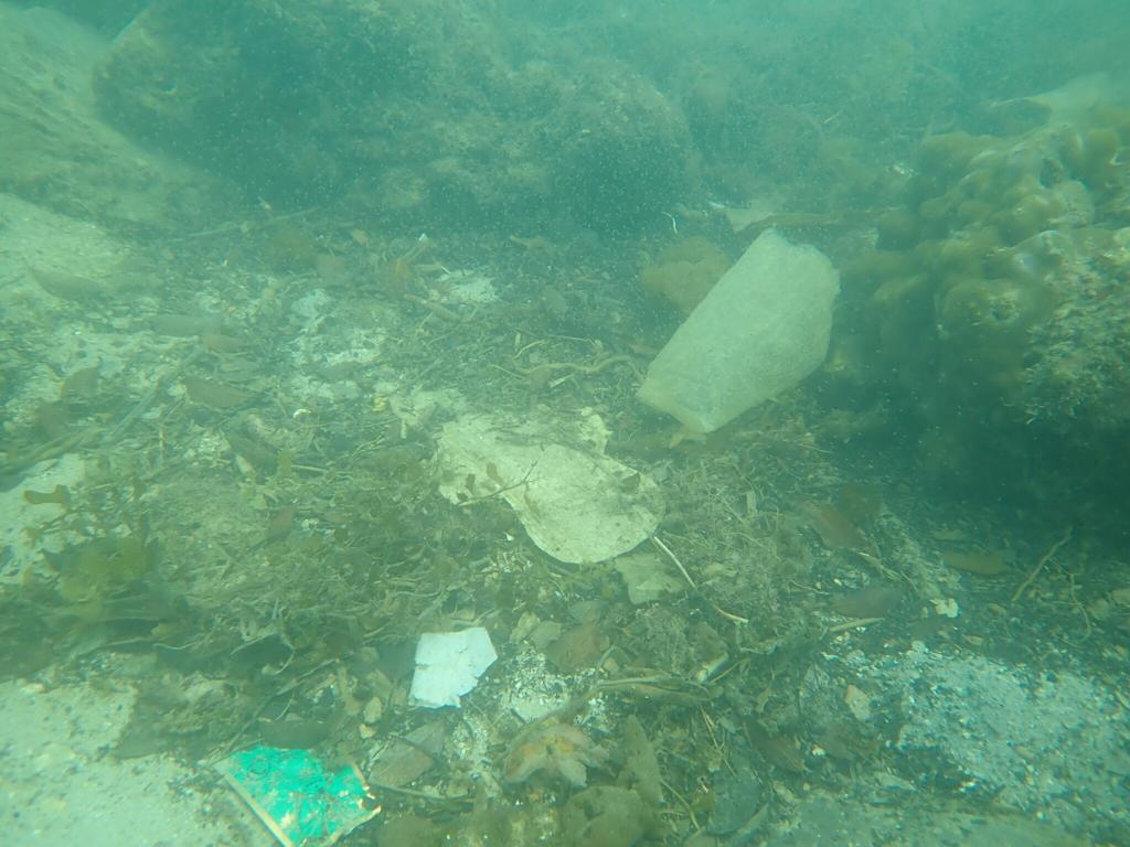
sand
12
2
3
1
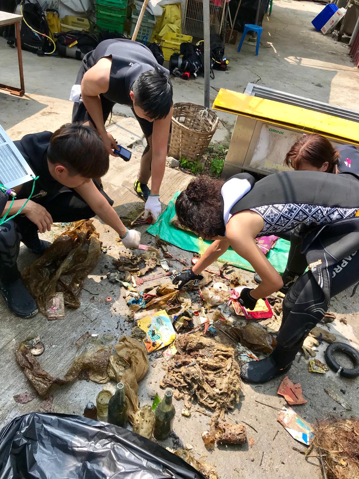
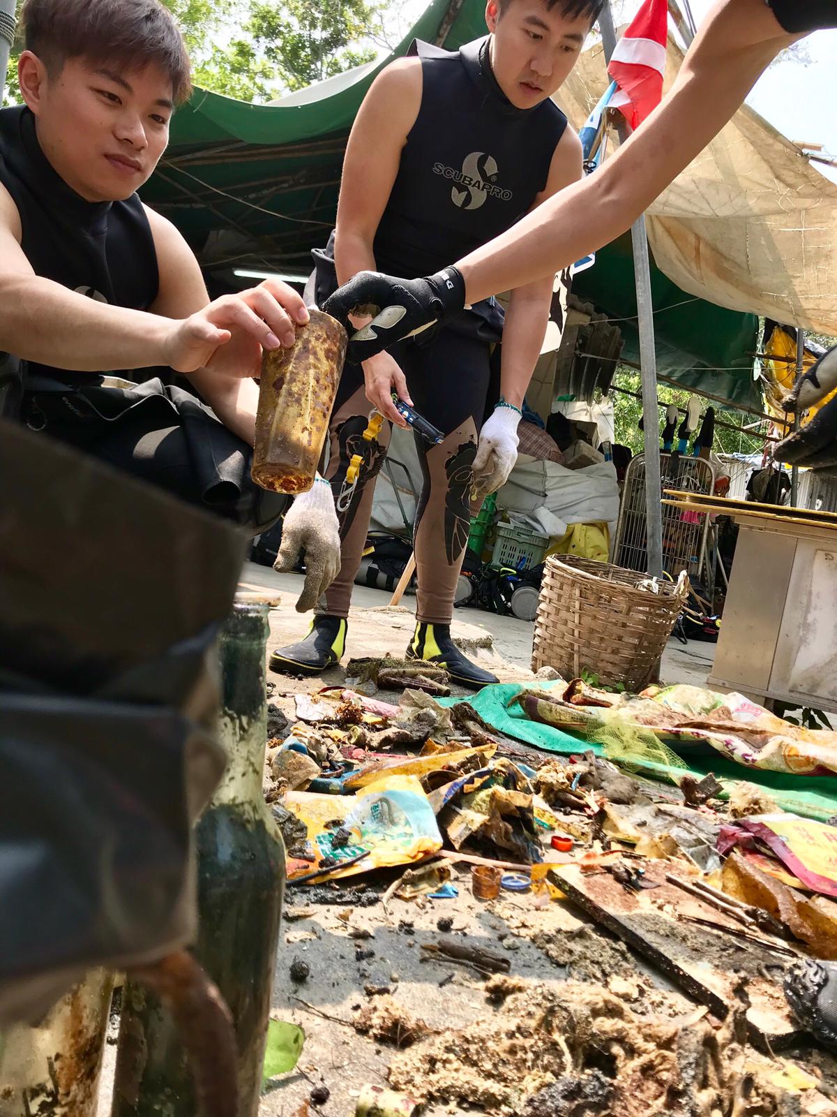
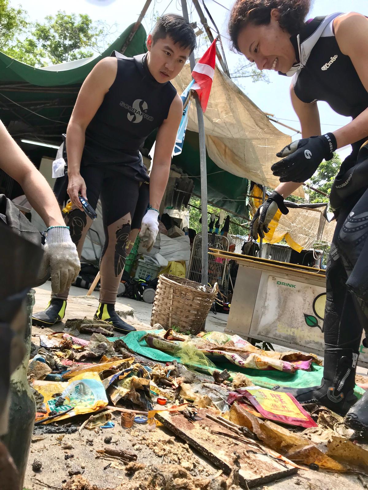
Mobile safety barrier pieces, Mahjong tiles
Sunny
12
1
1
1
2
2
1
2
3
Tarp bags
Mop
Luggage handle
Big metal bowl for cooking
Mobile safety barrier pieces
Ball pen
Sricker
Wiper with handle for cleaning
Plastic dental floss
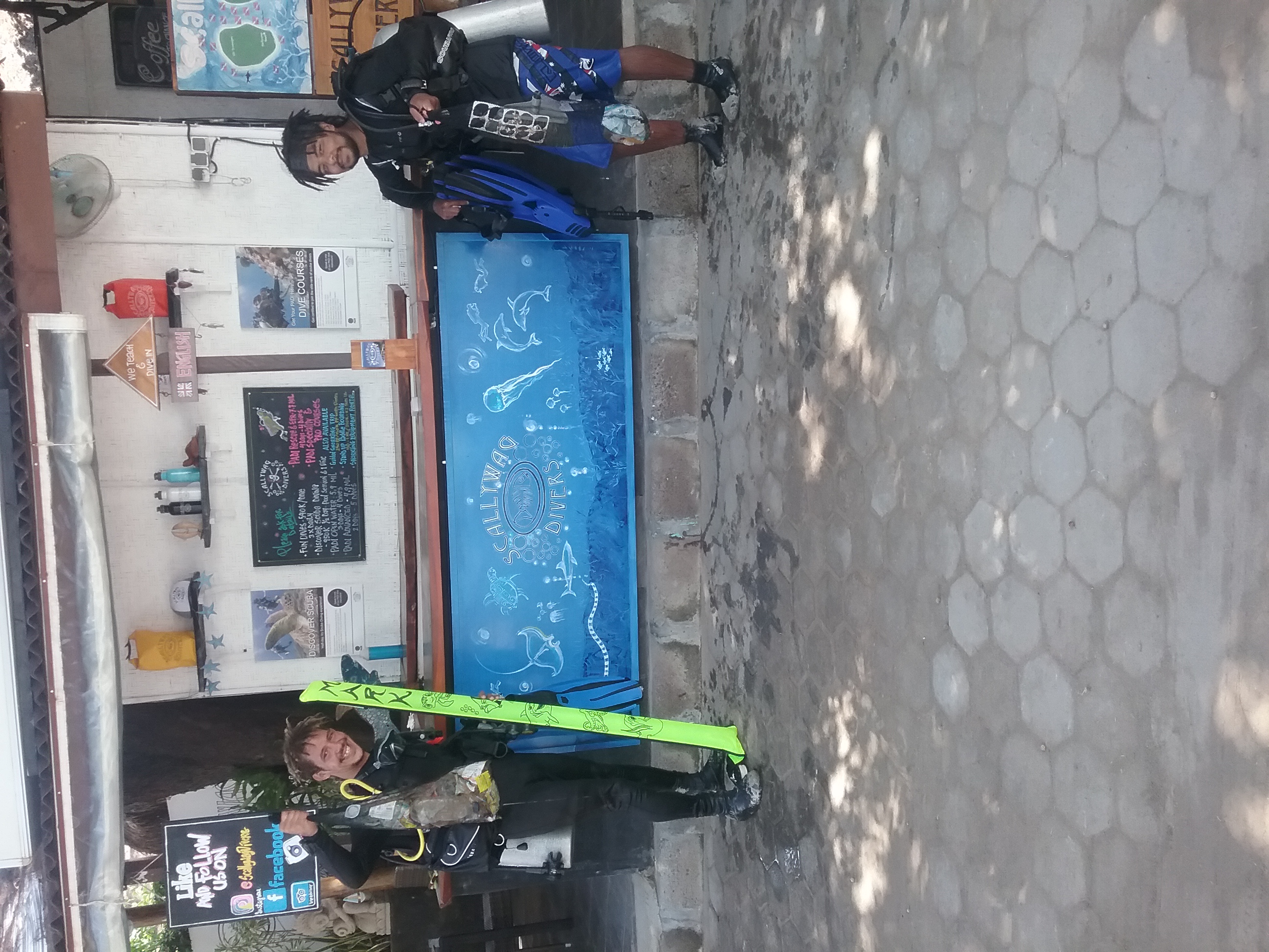
Tursiopsdivers
1
32
1
6
27
6
16
6
2
21
2
22
1
49.50
53
4.10
1.20
measured
2928.45
4
1
Plastic wrappers
Plastic bags
On
kilograms
I have debris data to report
7
1
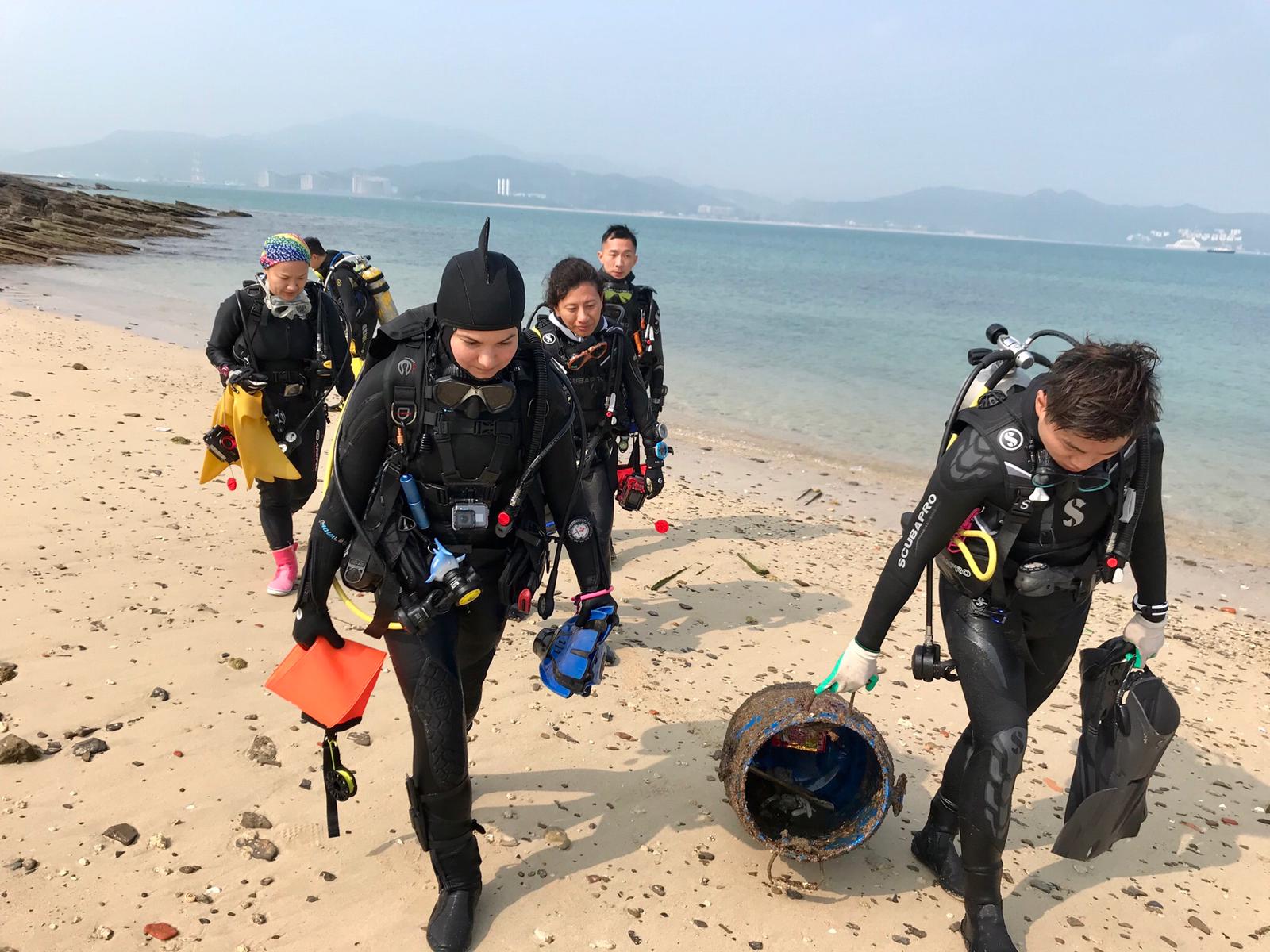
Calm (glassy to rippled) for waves 0 – 0.1 meter high
2
3
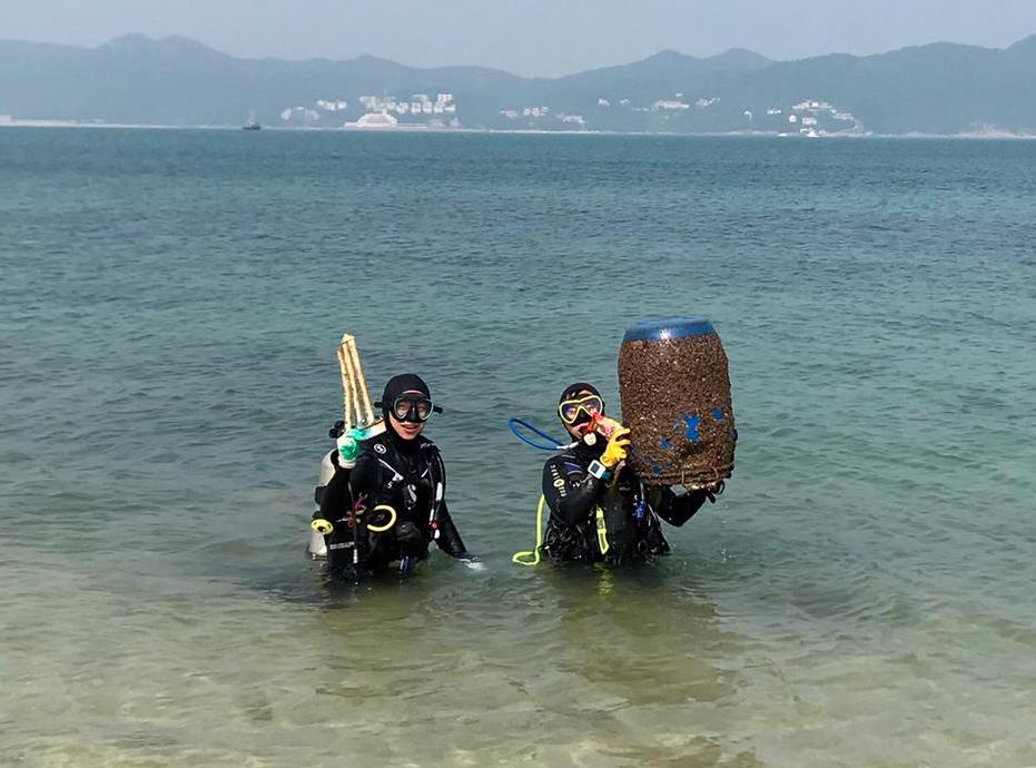
Abandoned fishing net
Crabs
Released Unharmed
2
1
5
5
m2
4
meters
coral reef
1
3
2
5
2
27
2
2
Map Help
Dive Location
If you know your survey site coordinates, enter them manually in decimal degrees using WGS84 Map Datum. Use the minus sign for latitudes south of the equator and longitudes west of the Prime Meridian to 180 degrees.
If you do not know your survey site coordinates, click the “Map Location” tab to use the map to zoom into your survey site and drop the pin on the map to fall within your survey dive site in the water (not on land or the beach). Ensure you zoom in as much as possible to ensure data accuracy.
Entangled Help