Bayshore Playground
27
15
2
0
33.756254, -118.131044
0
2
1
silt
0
7
0
0
0
Public Beach and recent rains
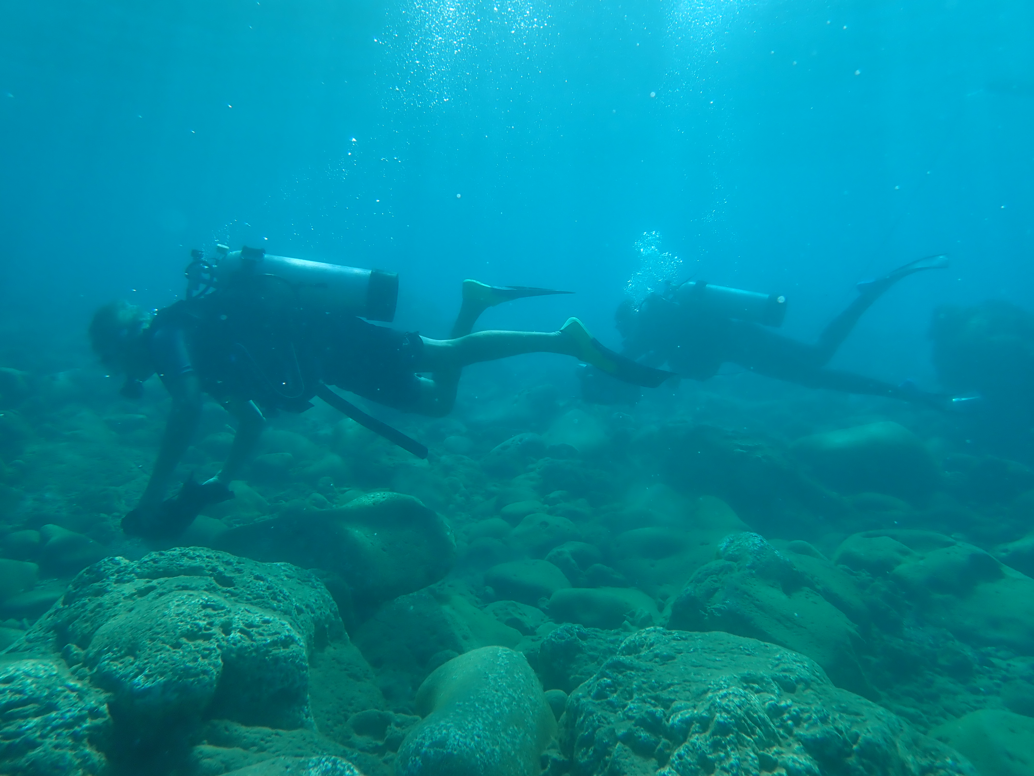
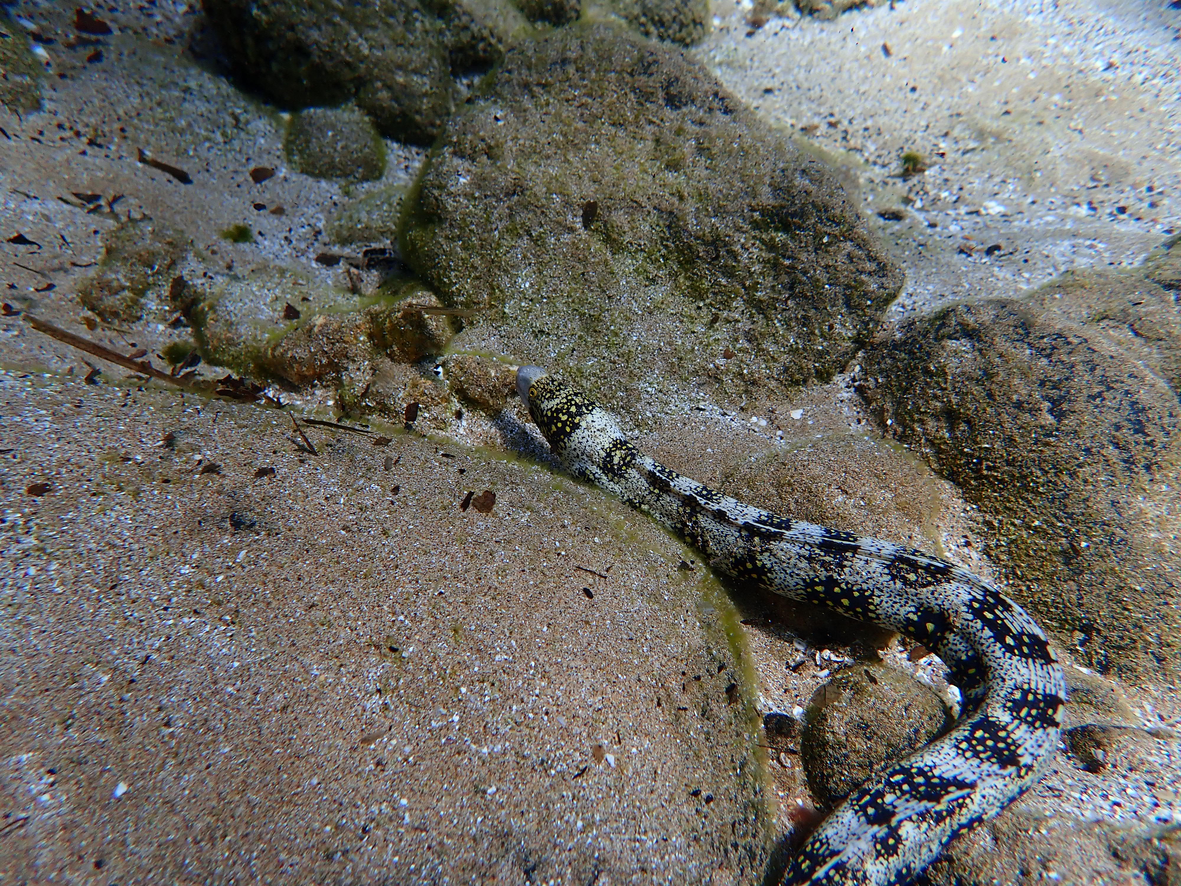
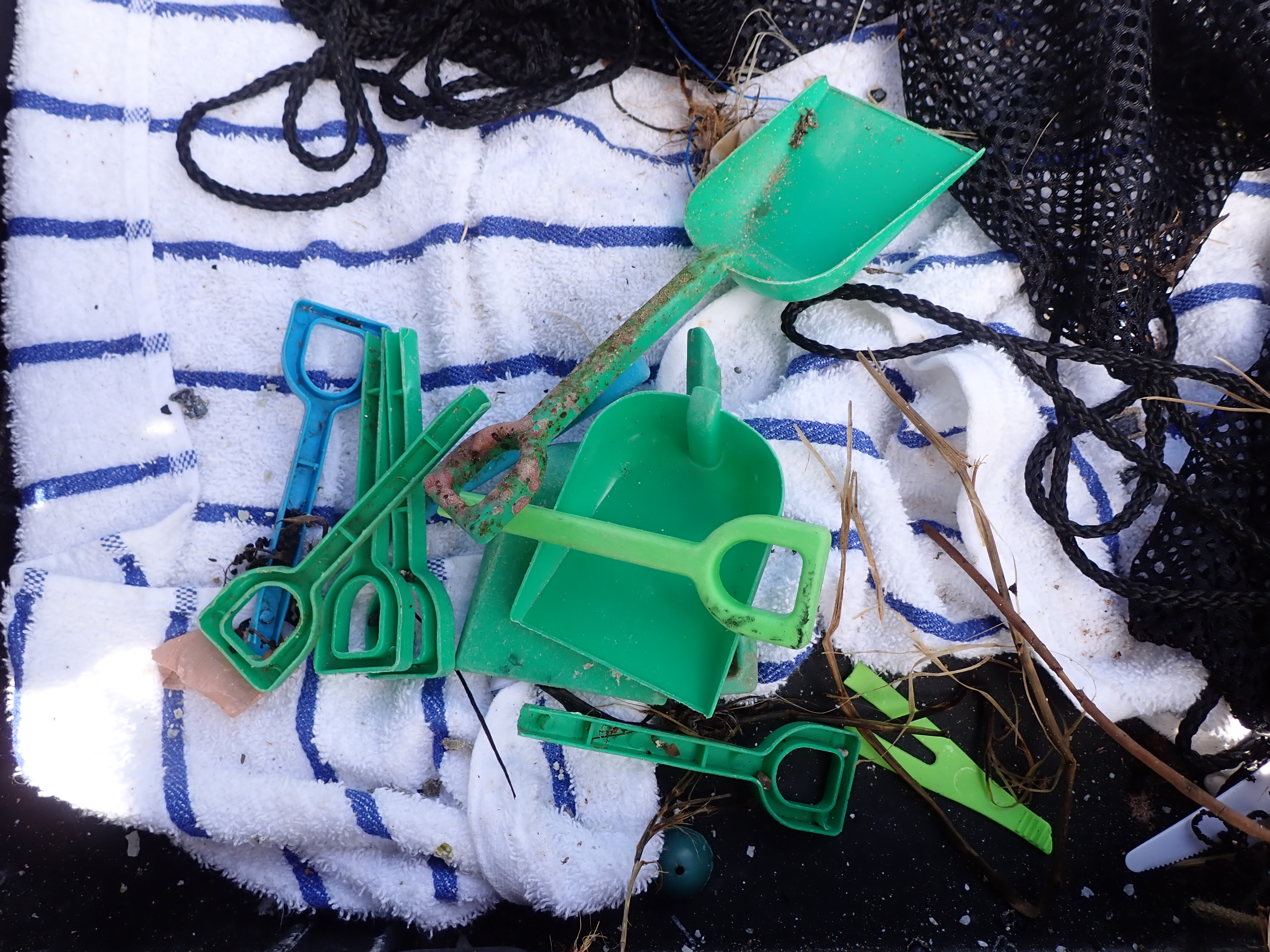
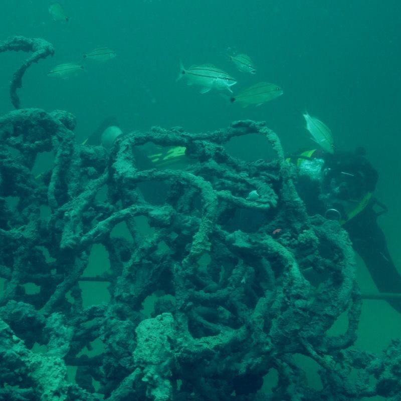
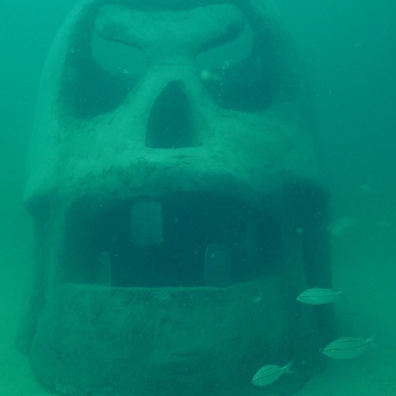
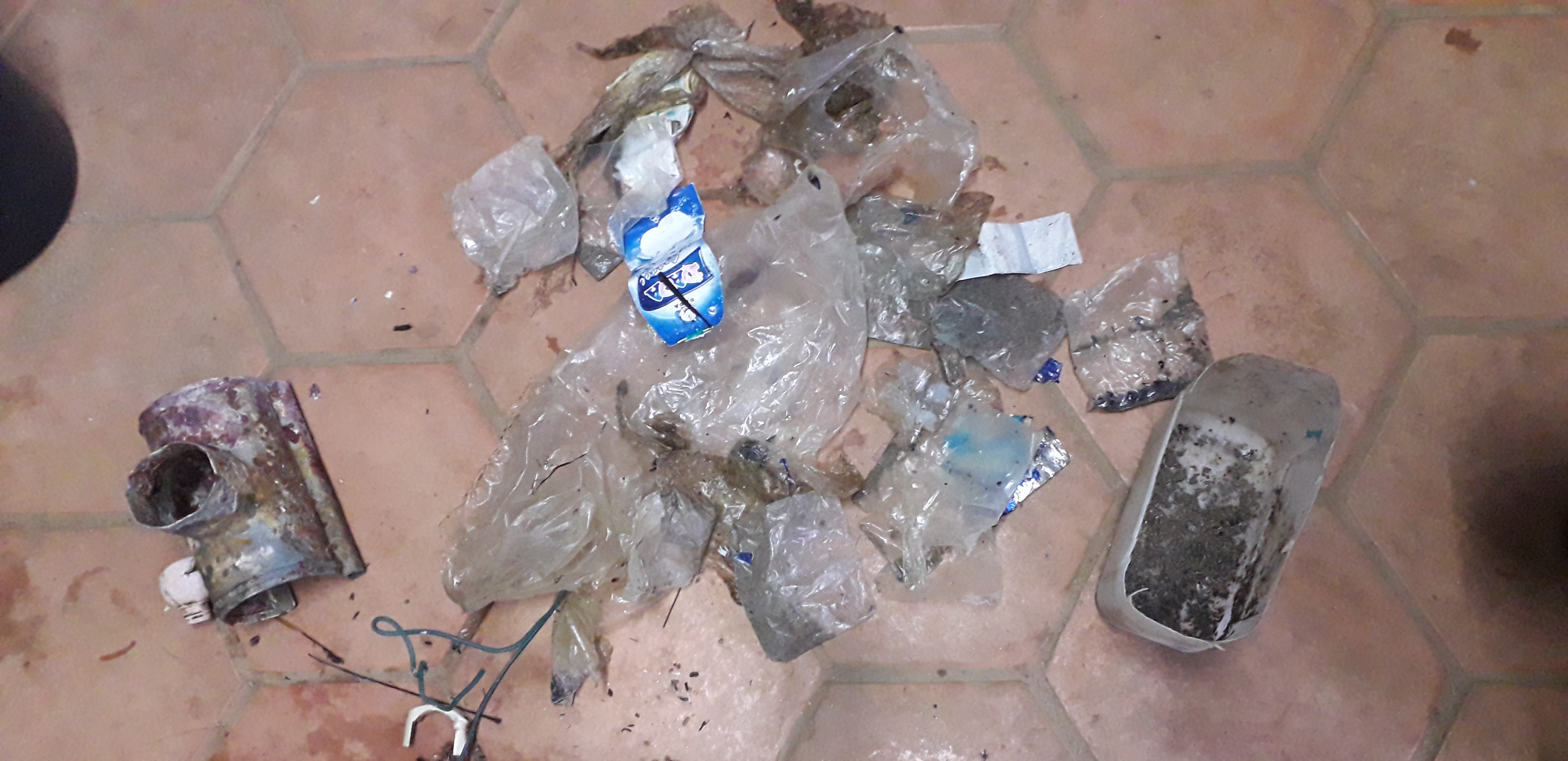
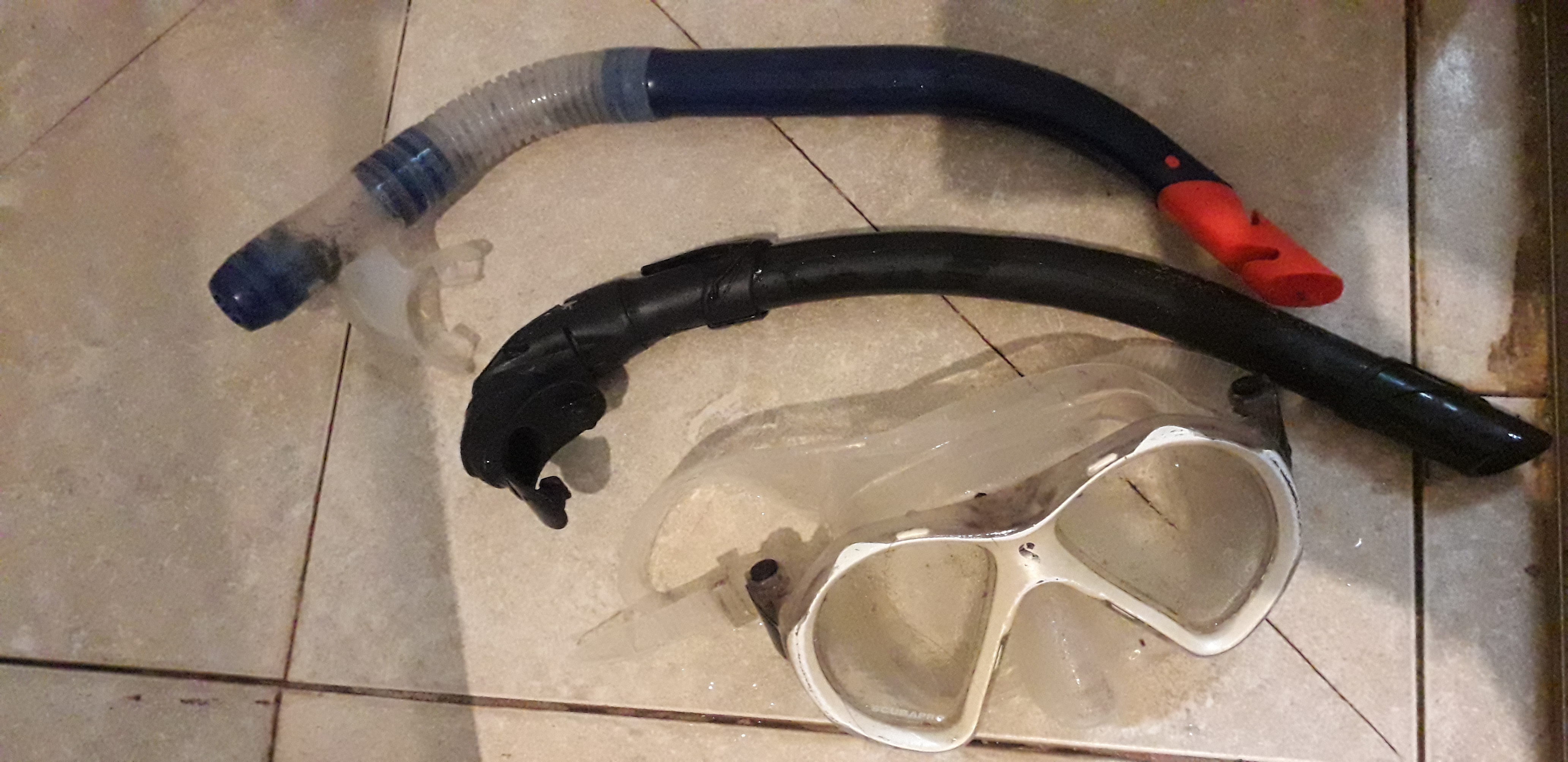
Accidentally brought in a big octo, but he's home now
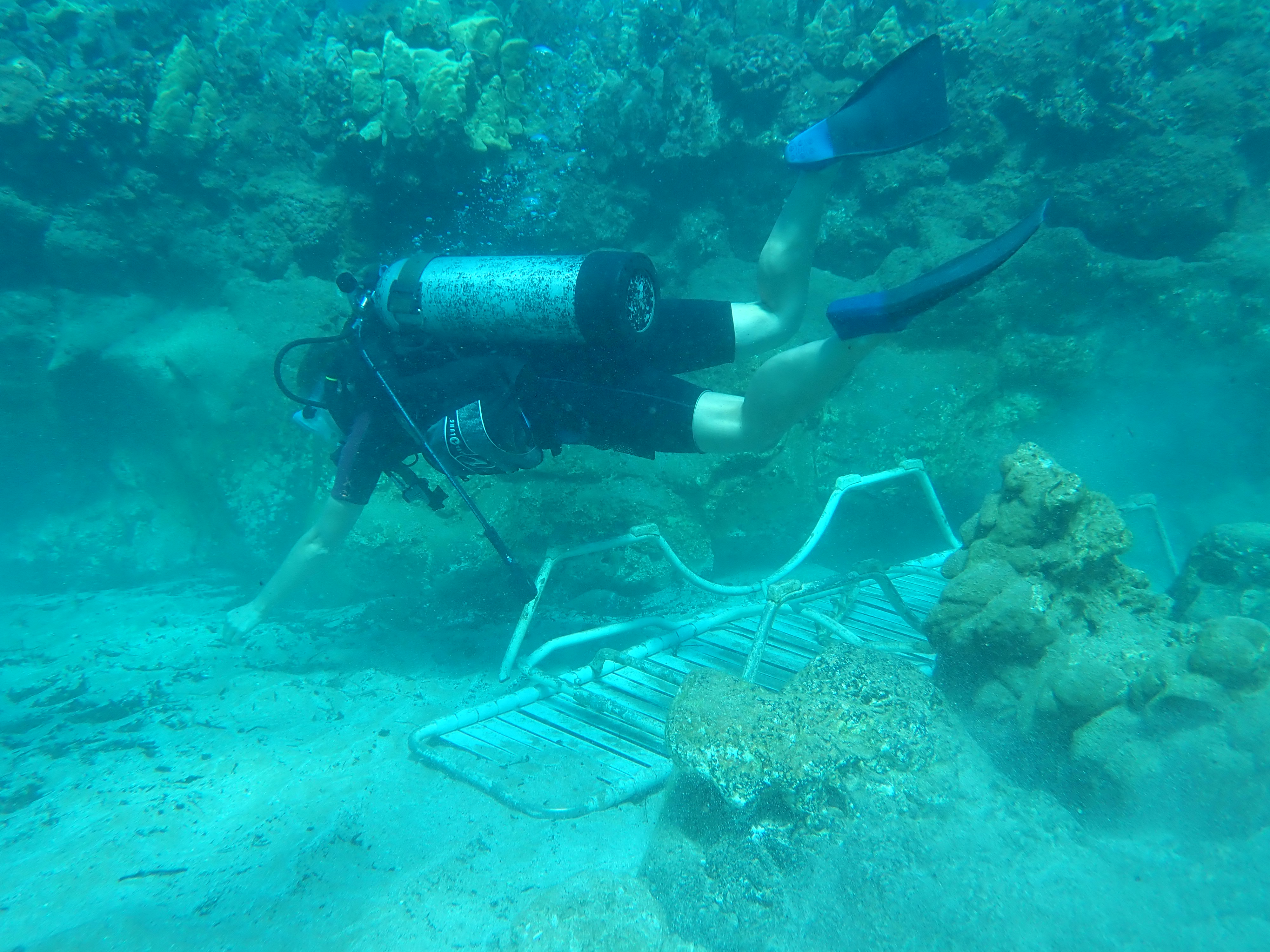
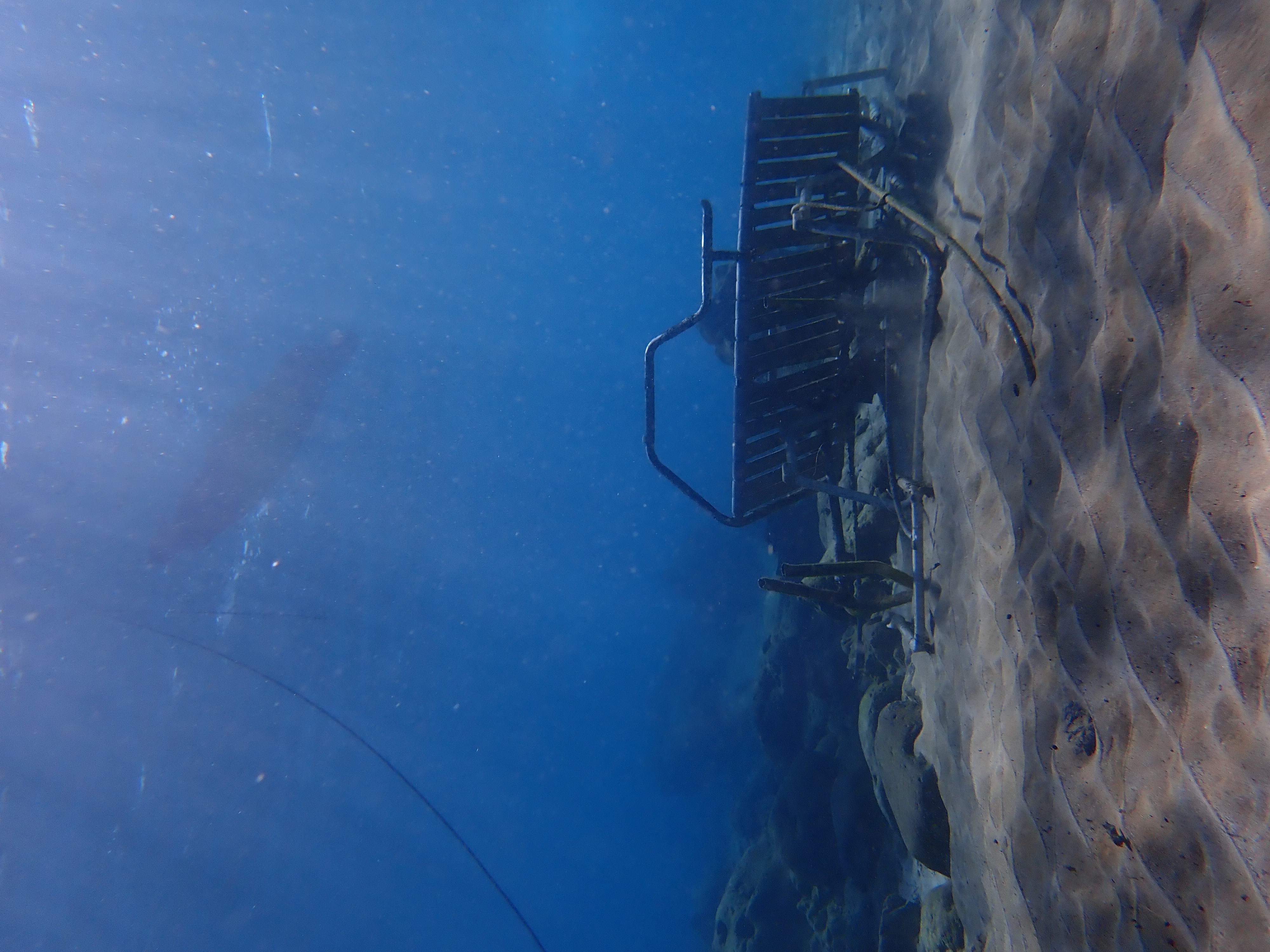
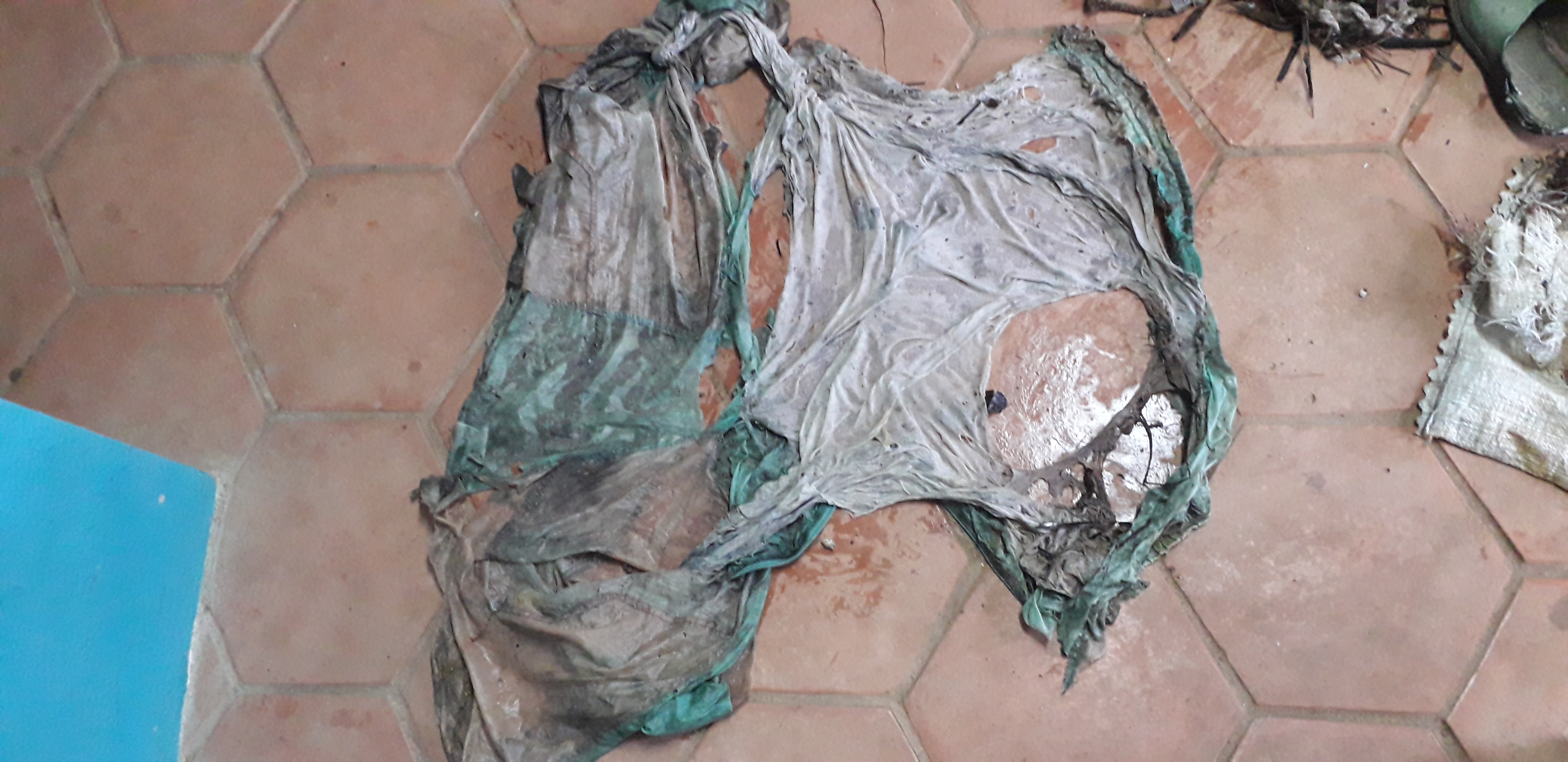
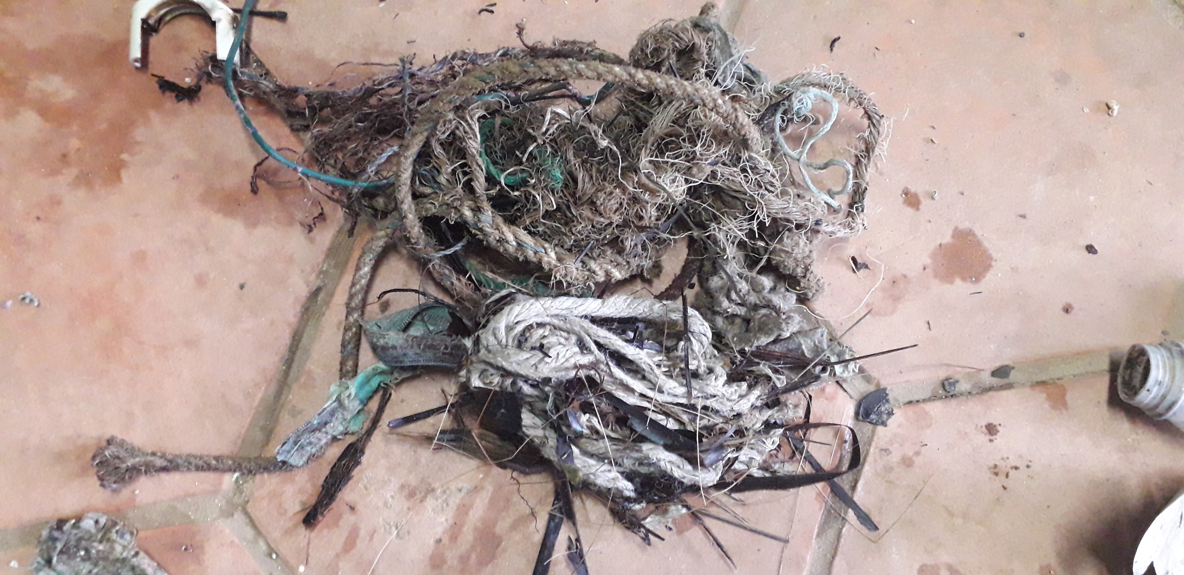
Homemade anchor sandbag
Cloudy, minor rain
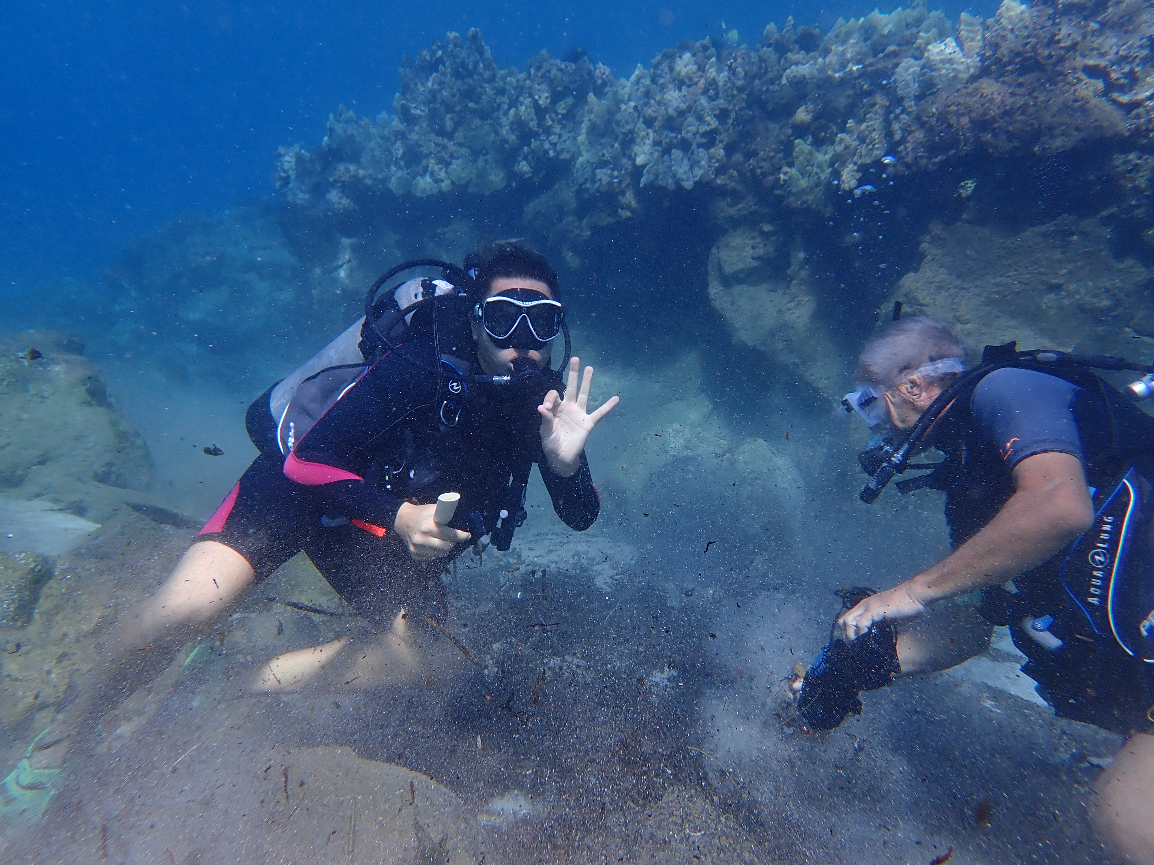
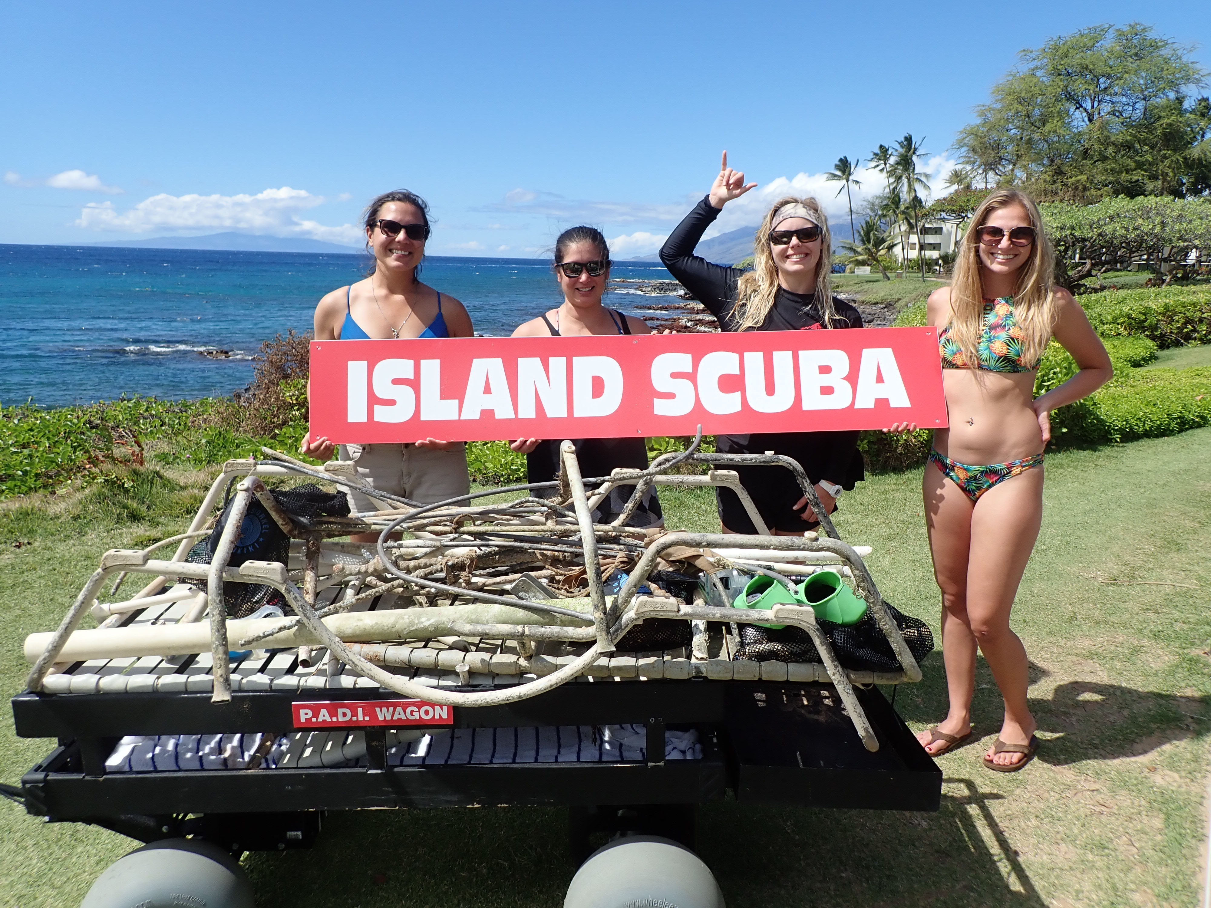
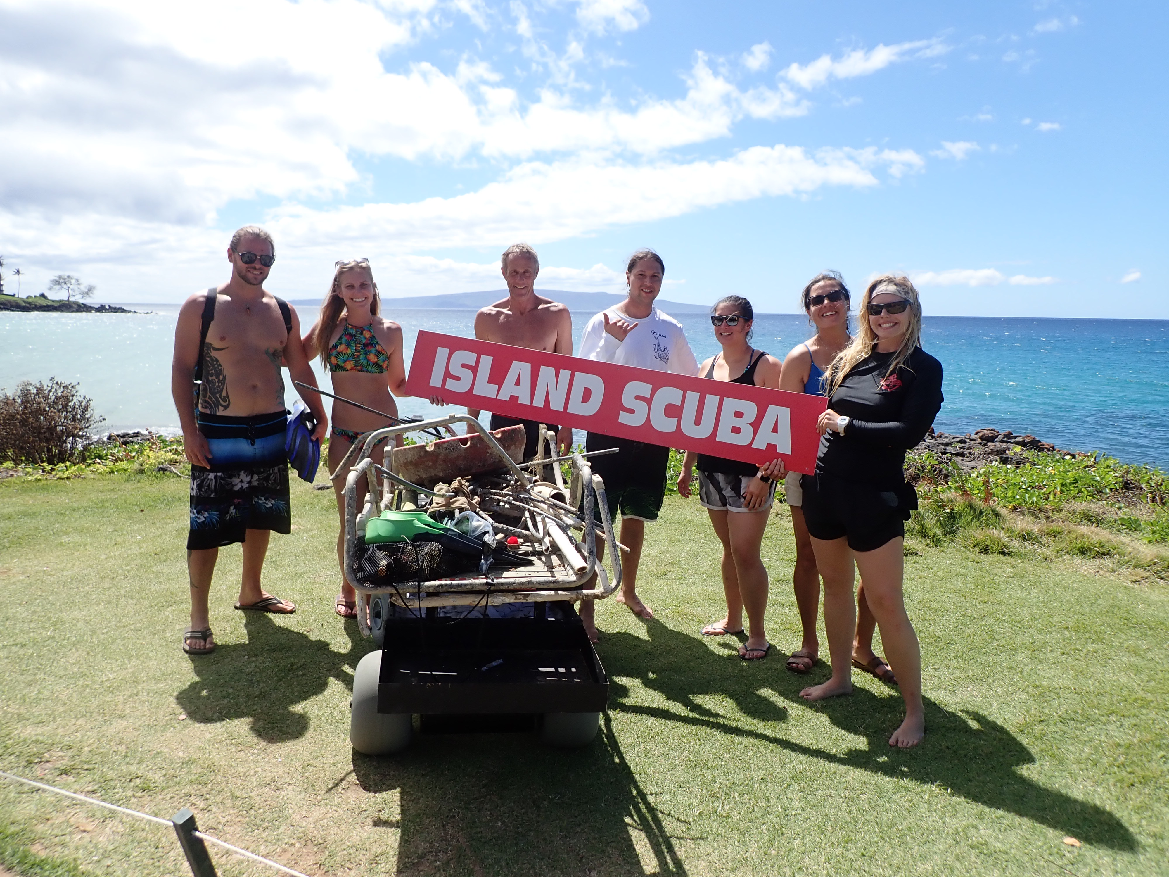
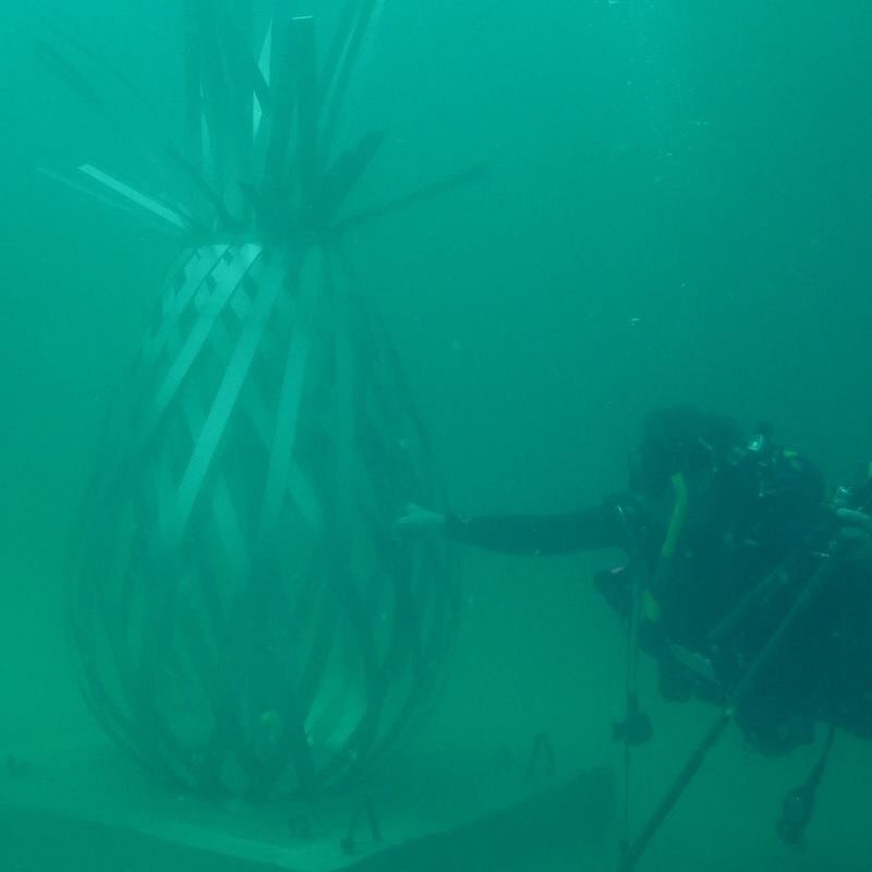
Jade Scuba Adventures
Ashley Arnold
0
0
0
11
1
0
0
0
2
2
4
0
2
0
0
0
0
0
3
2
0
2
4
0
1
0
1
0
0
0
0
0
0
0
0
0
8.00
47
10.00
3.00
1
estimated
0
0
0
0
1845.23
0
0
0
0
0
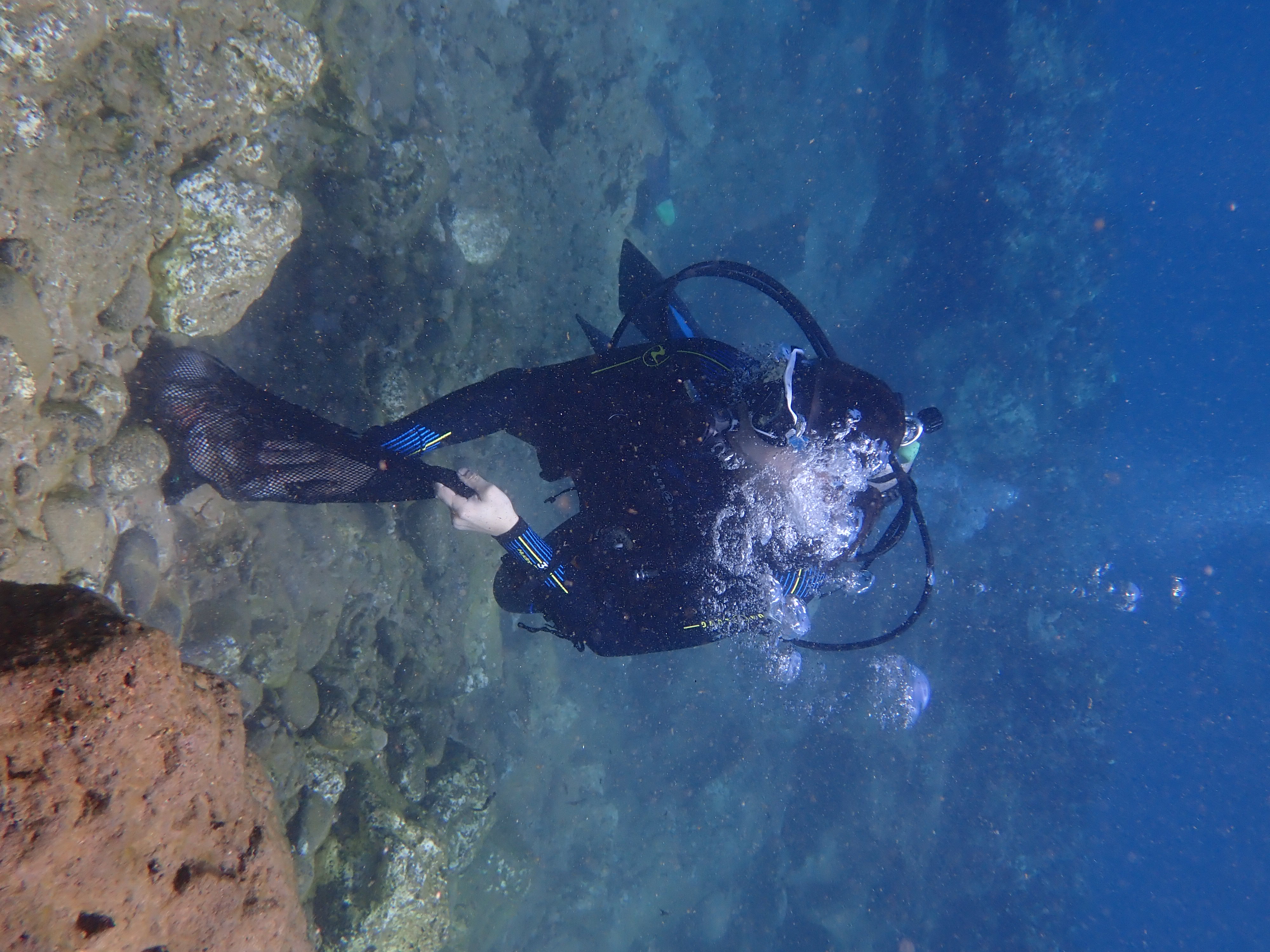
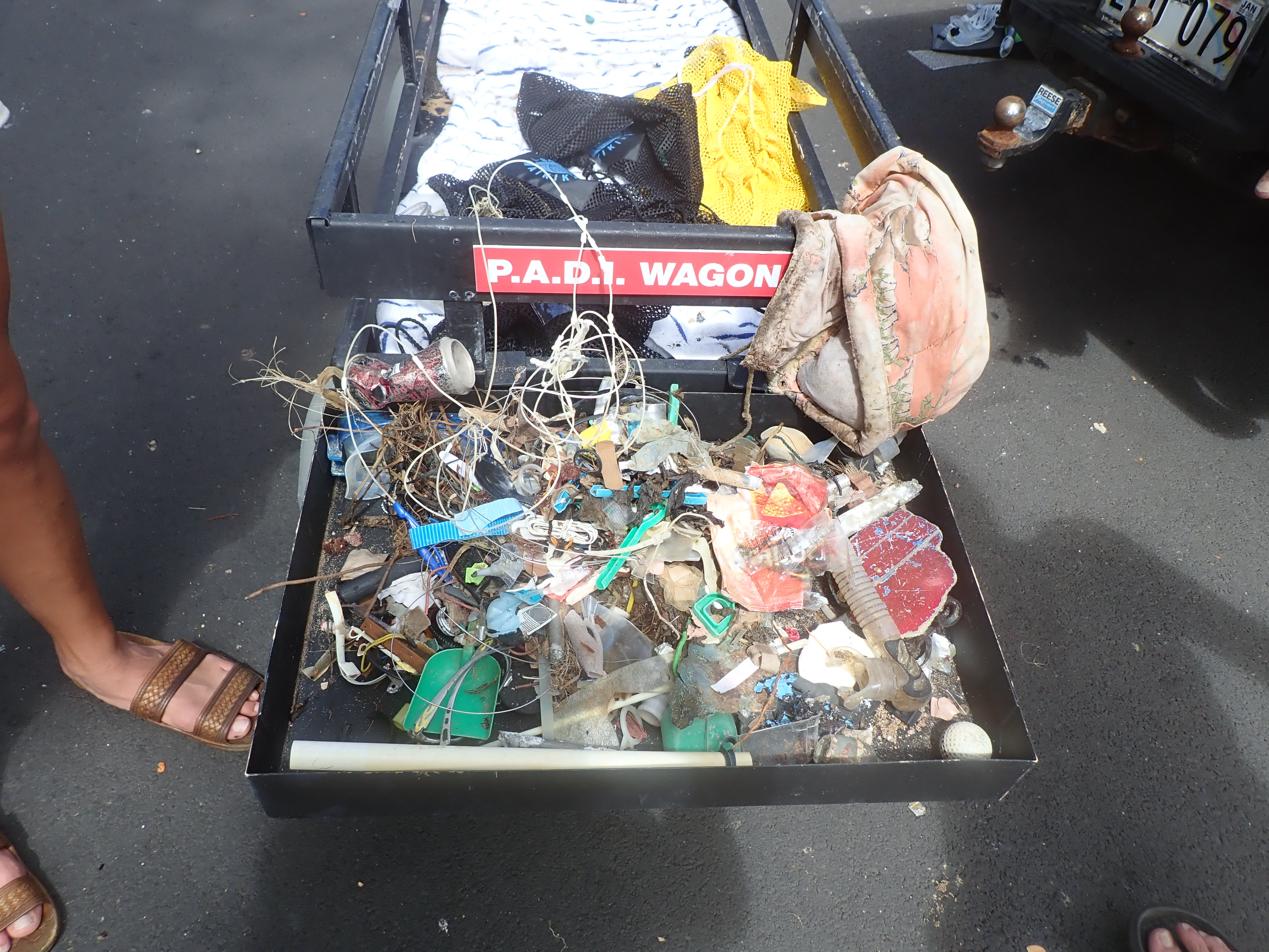
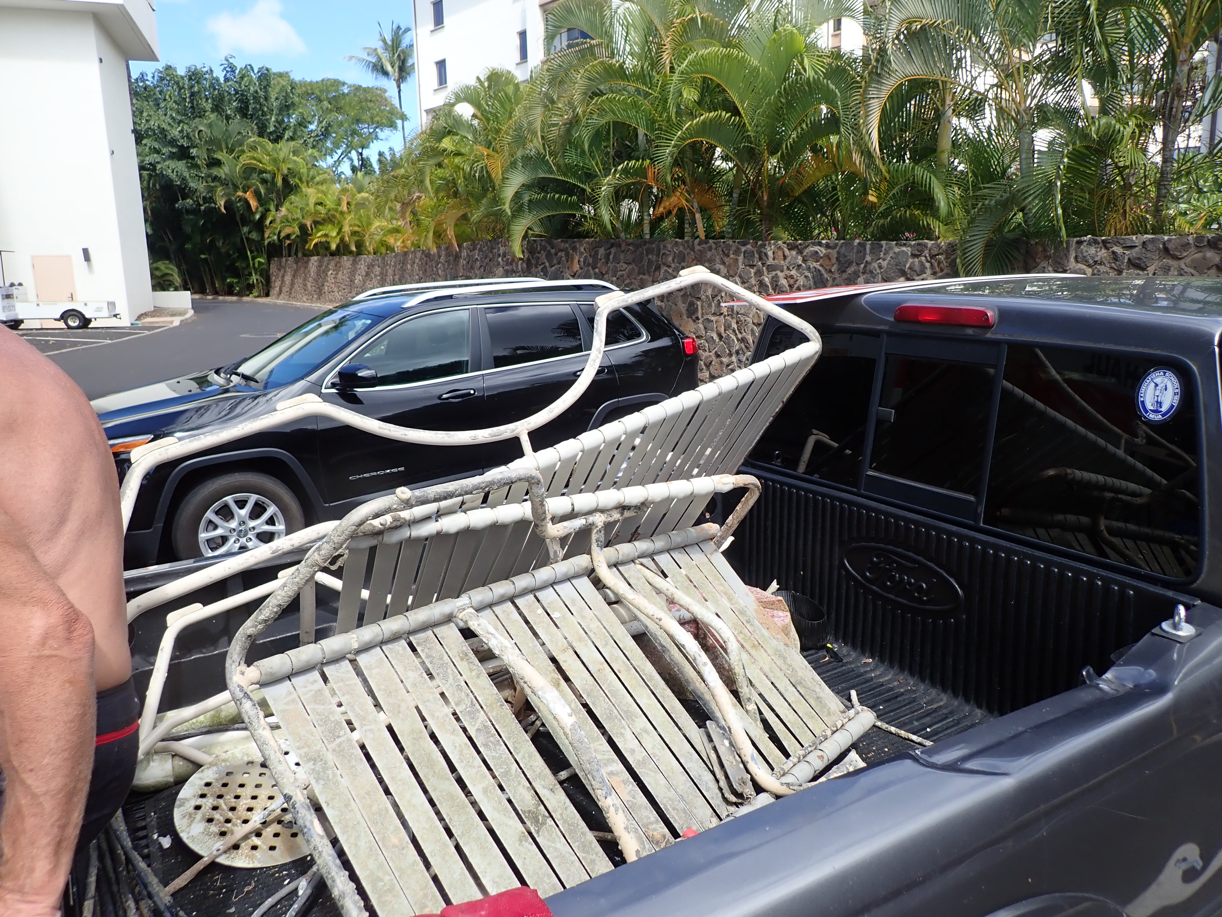
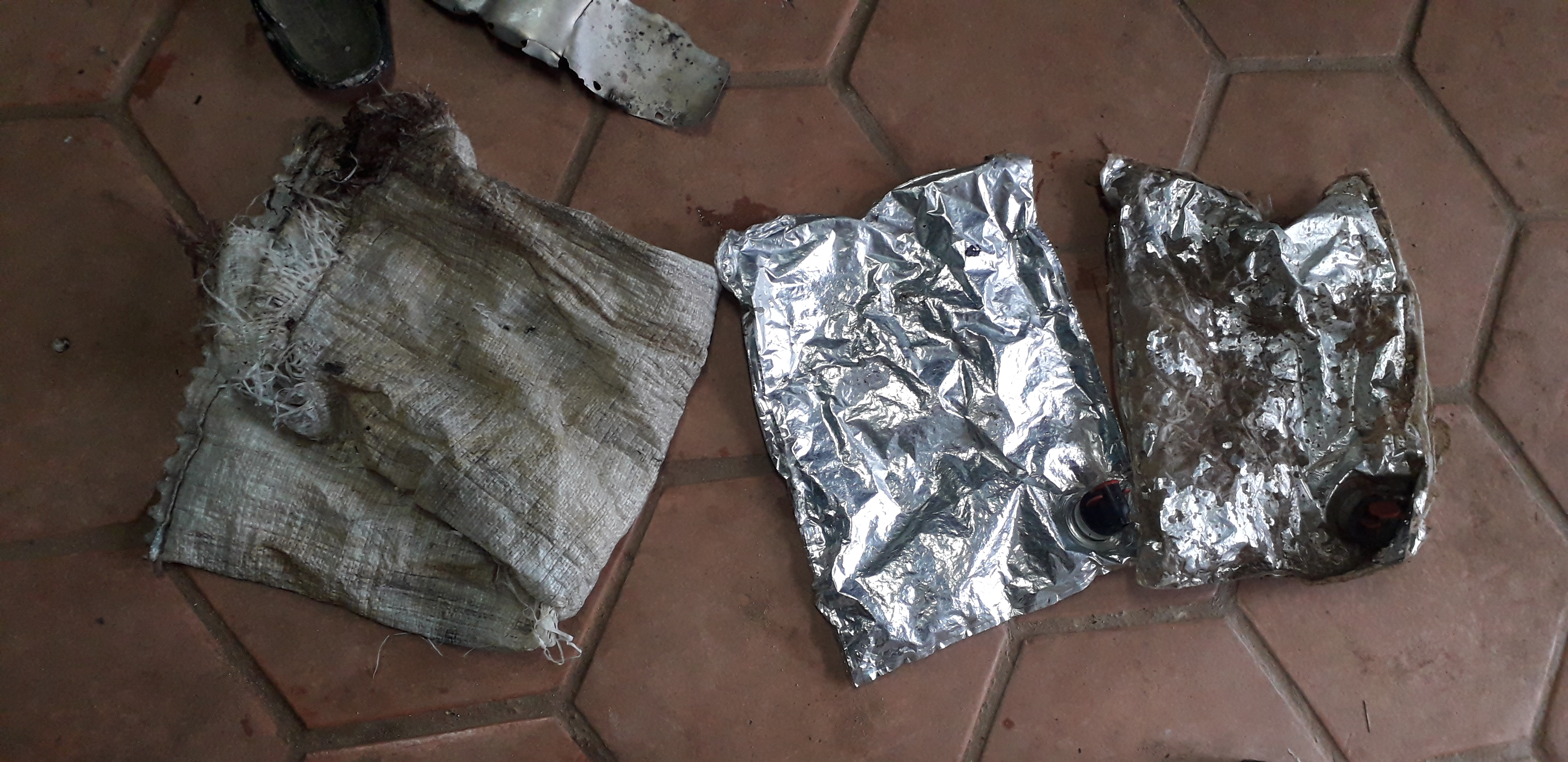
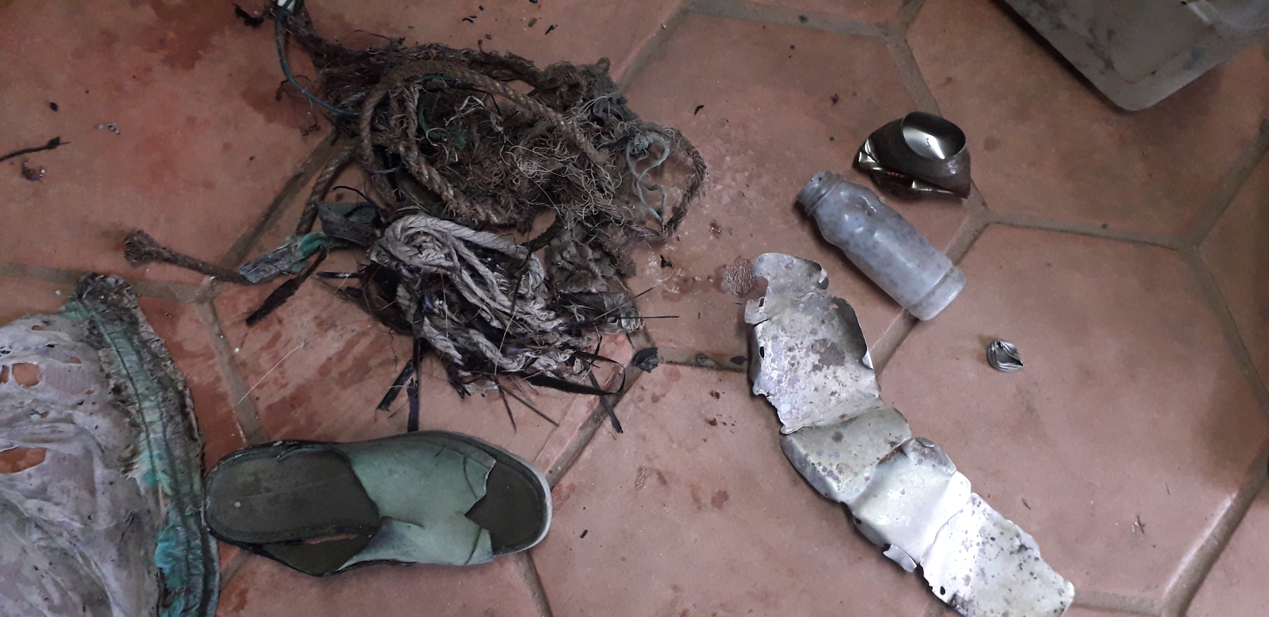
Food wrappers
Bags
Cans
0
On
pounds
0
I have debris data to report
0
0
0
Calm (glassy to rippled) for waves 0 – 0.1 meter high
0
0
0
0
0
0
0
ft2

1
0
feet
seagrass
1
0
0
0
0
0
0
0
0
1
0
0
0
12
0
0
0
8
0
0
0
0
0
0
0
0
0
0
0
State\Province
California
City
Long Beach
Map Help
Dive Location
If you know your survey site coordinates, enter them manually in decimal degrees using WGS84 Map Datum. Use the minus sign for latitudes south of the equator and longitudes west of the Prime Meridian to 180 degrees.
If you do not know your survey site coordinates, click the “Map Location” tab to use the map to zoom into your survey site and drop the pin on the map to fall within your survey dive site in the water (not on land or the beach). Ensure you zoom in as much as possible to ensure data accuracy.
Entangled Help