kræmer
28
3
sand
6
69.664519837861, 18.970404603768
yes, tromsø is an island with lots of snow. The city of tromsø leavs a lot of snow in the water at this site, witch brings alot of debris and micoplastic from fotball fields.
fireworks
windy
Dykker sentret tromsø
silje
1
2
3
1
4
3
4
4.80
28
7.30
3.00
measured
500.00
1
microplastic from fake fotballfields
elektric devices
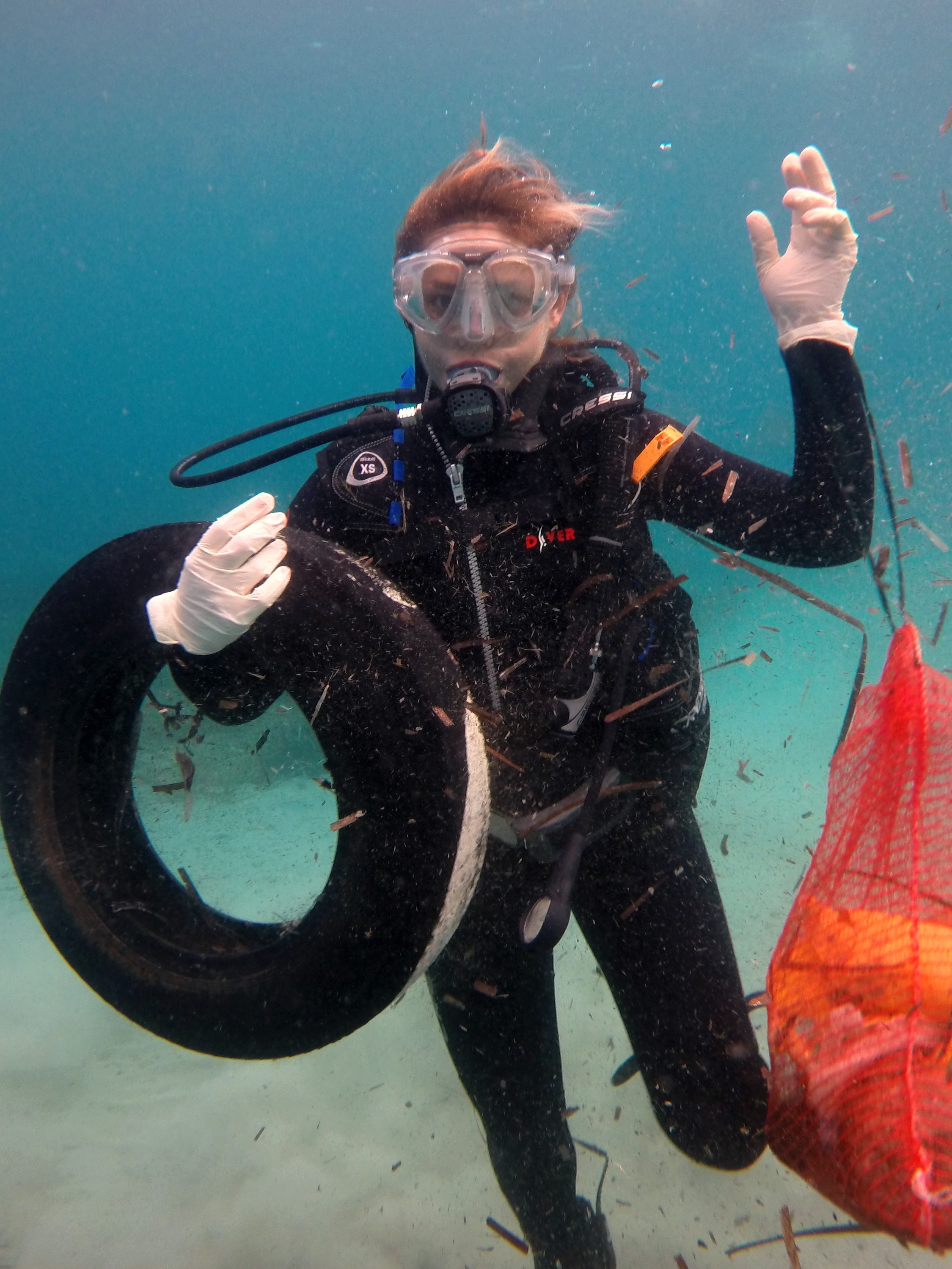
beavrage bottles
On
kilograms
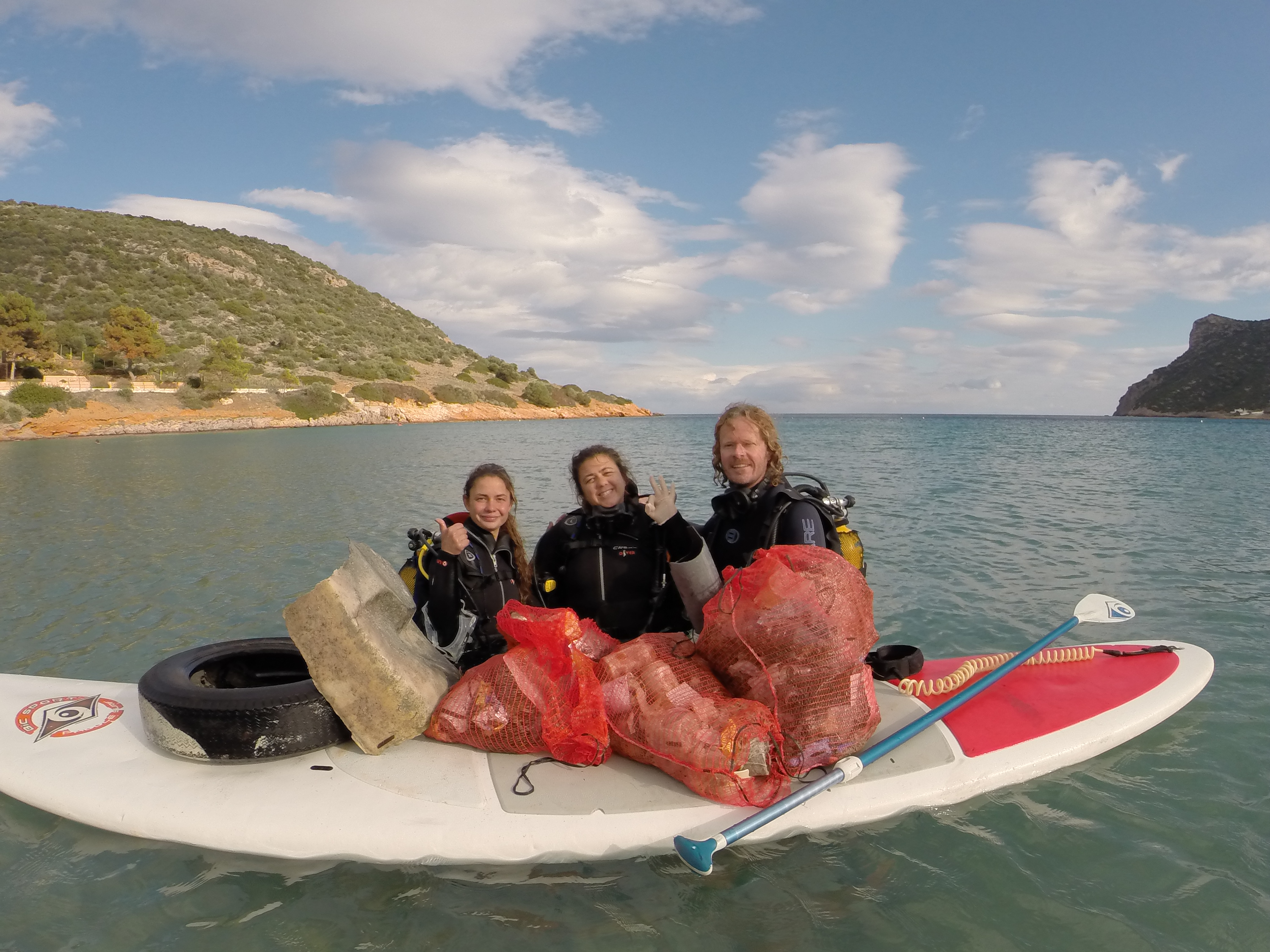
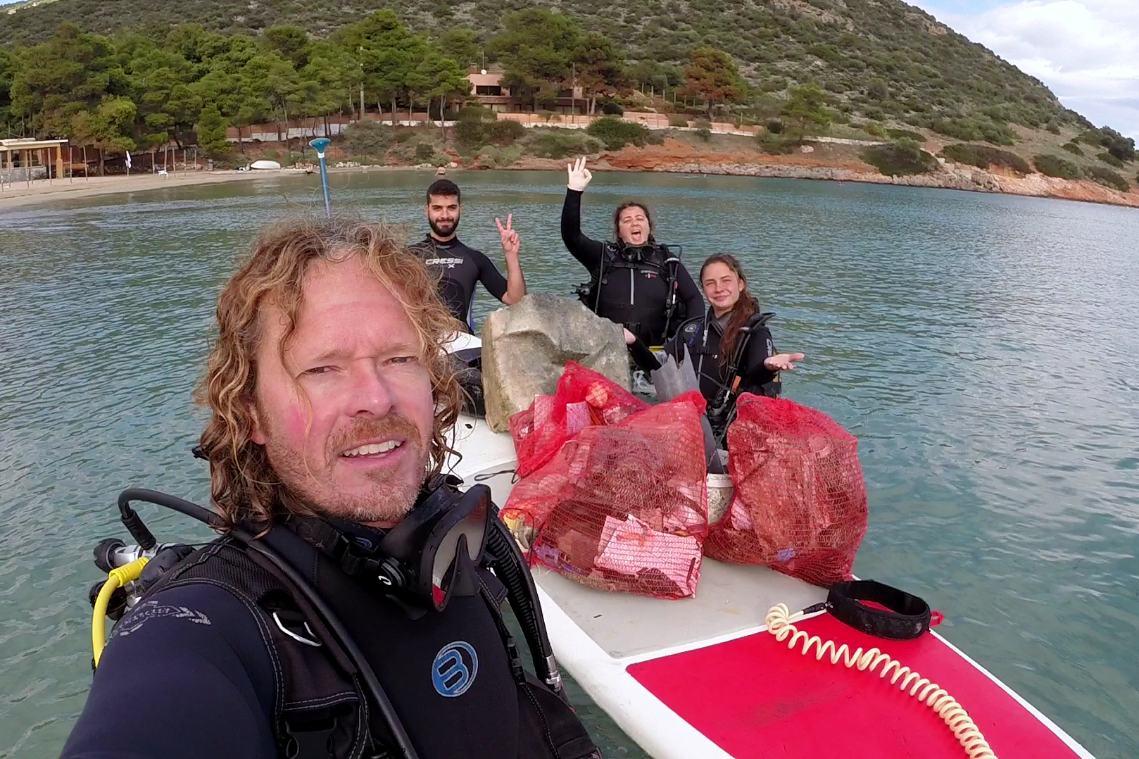
I have debris data to report
Slight for waves 0.5 -1.25 meter high
beercan
1
Released Unharmed
tangsprell
m2

meters
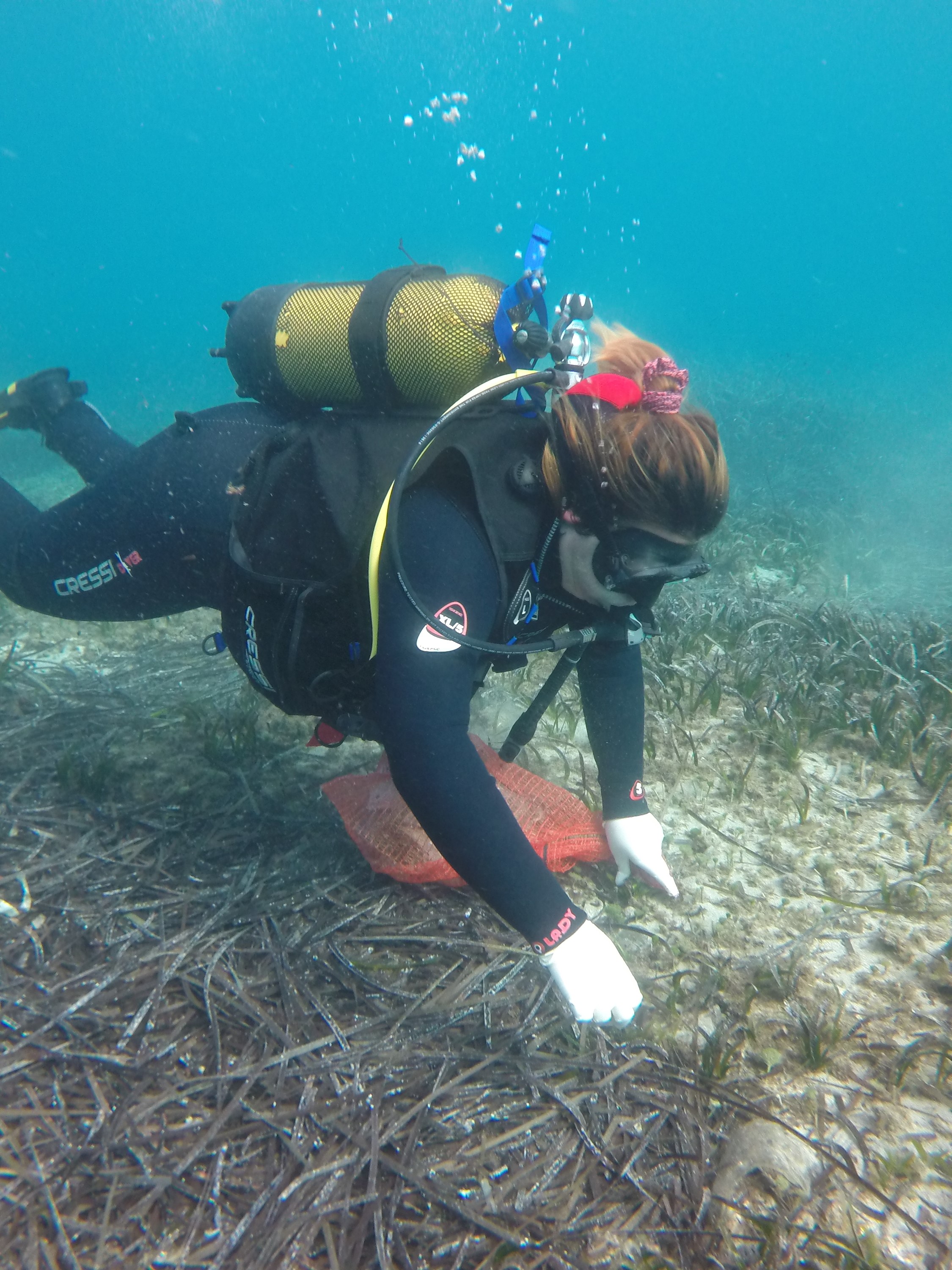
seagrass
1
1
1
1
5
2
12
3
1
City
TROMSØ
Map Help
Dive Location
If you know your survey site coordinates, enter them manually in decimal degrees using WGS84 Map Datum. Use the minus sign for latitudes south of the equator and longitudes west of the Prime Meridian to 180 degrees.
If you do not know your survey site coordinates, click the “Map Location” tab to use the map to zoom into your survey site and drop the pin on the map to fall within your survey dive site in the water (not on land or the beach). Ensure you zoom in as much as possible to ensure data accuracy.
Entangled Help