ADS370 - Blue Bay The Wall & The Garden
37
12.134386, -68.985019
97
etalNYE added the fireworks to our house reef!
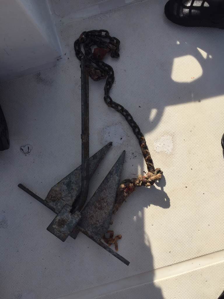
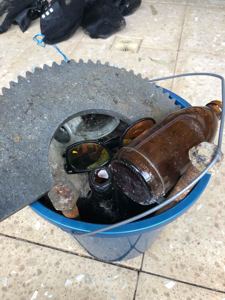
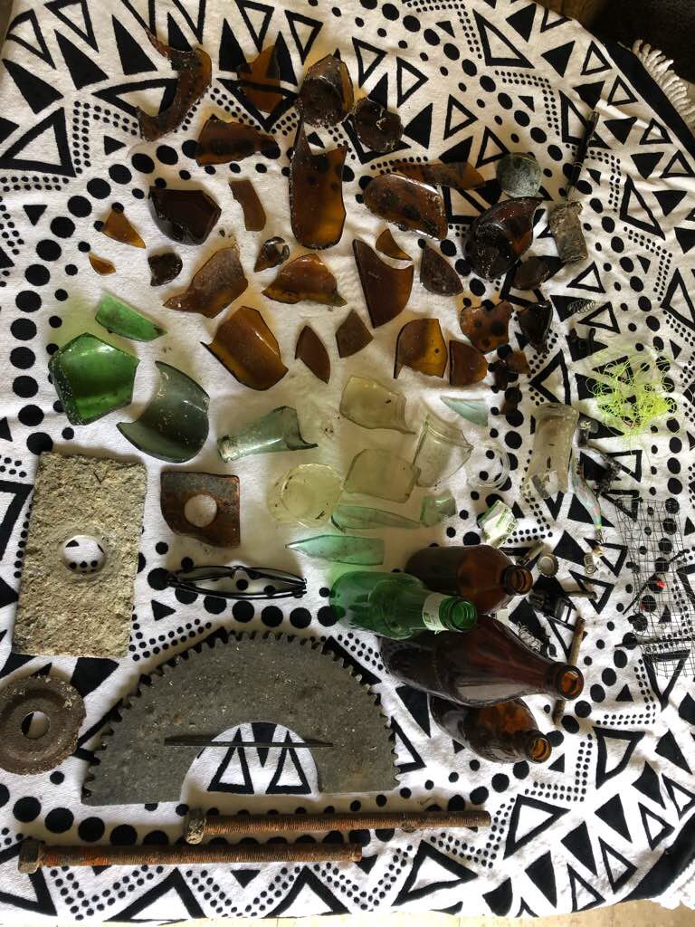
Local construction increase the rubber/metal items and local fishermen leave lots of fishing line in our oceans.
Local construction increase the rubber/metal items and local fishermen leave lots of fishing line in our oceans.
Spark plug
sunny
1
1
1
1
1
AA Battery
Spark Plug
Earing
Sink Plug
Mask
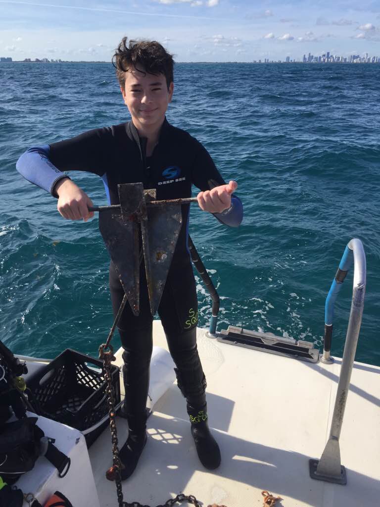
Blue Bay Dive
PADI Master Instructor Ivana 356300
1
1
1
18
21
15
18.00
55
28.70
1.50
measured
2
2000.00
2
3
fishing line
plastic fragments
rubber
7
On
kilograms
I have debris data to report
12
Calm (glassy to rippled) for waves 0 – 0.1 meter high
1
2
0
11
m2


meters
coral reef
2
2
11
13
City
Curacao
Map Help
Dive Location
If you know your survey site coordinates, enter them manually in decimal degrees using WGS84 Map Datum. Use the minus sign for latitudes south of the equator and longitudes west of the Prime Meridian to 180 degrees.
If you do not know your survey site coordinates, click the “Map Location” tab to use the map to zoom into your survey site and drop the pin on the map to fall within your survey dive site in the water (not on land or the beach). Ensure you zoom in as much as possible to ensure data accuracy.
Entangled Help