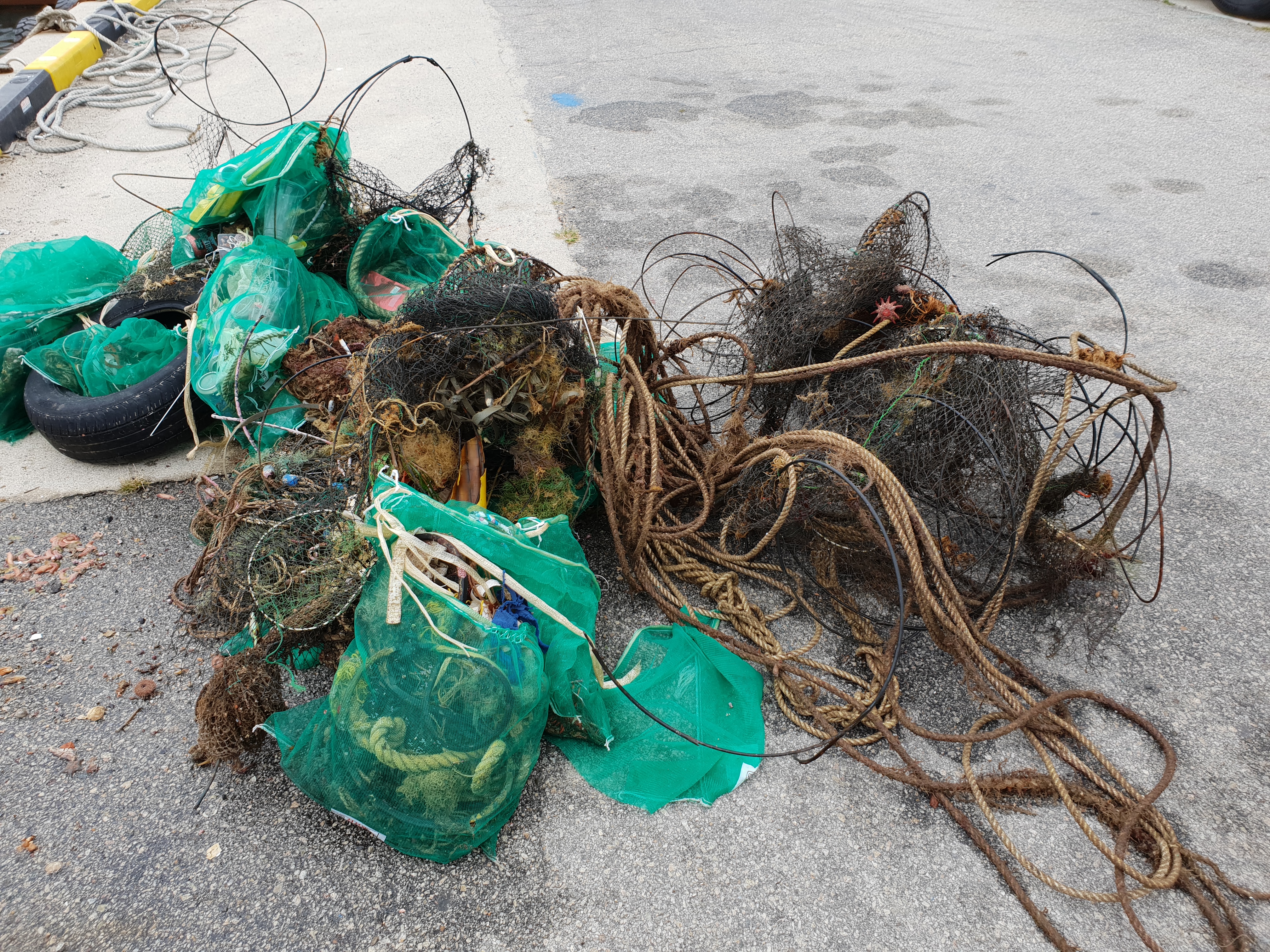
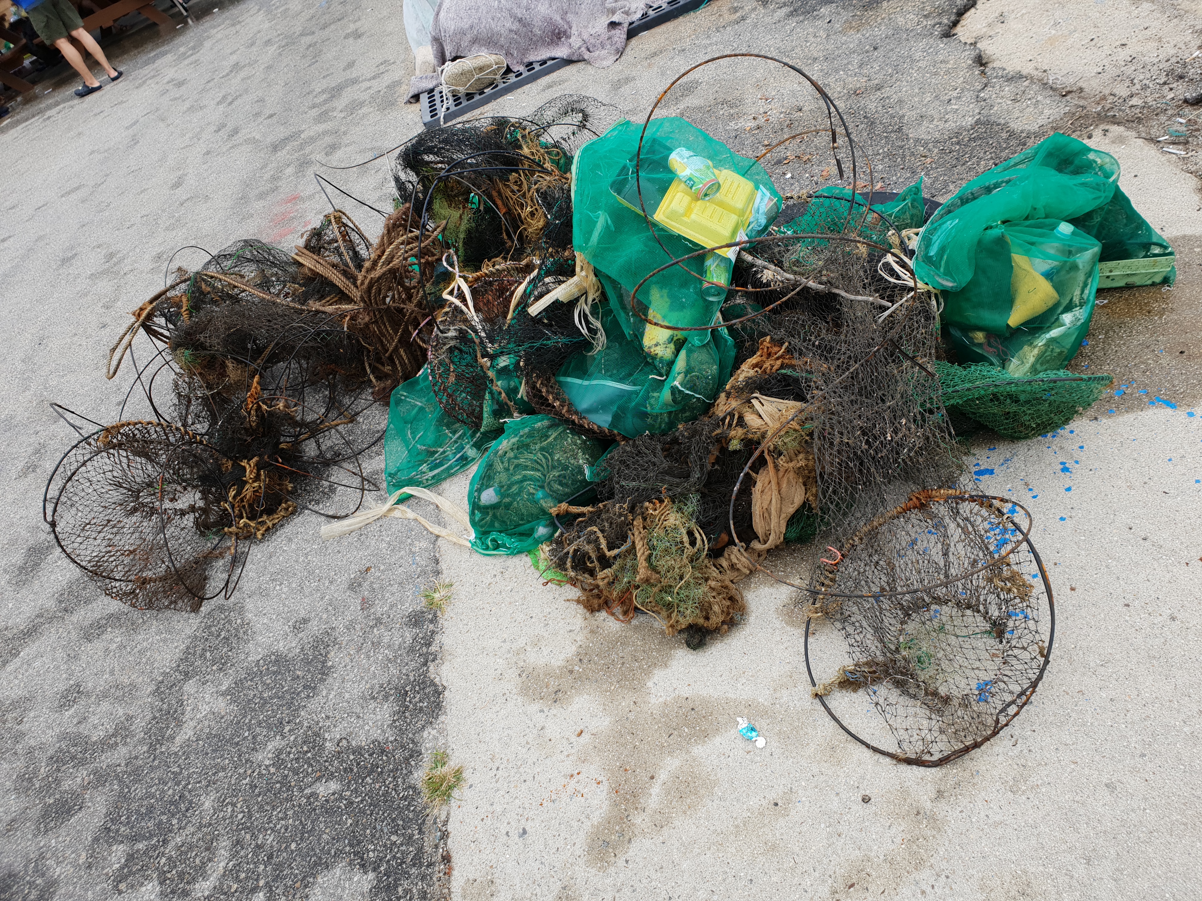
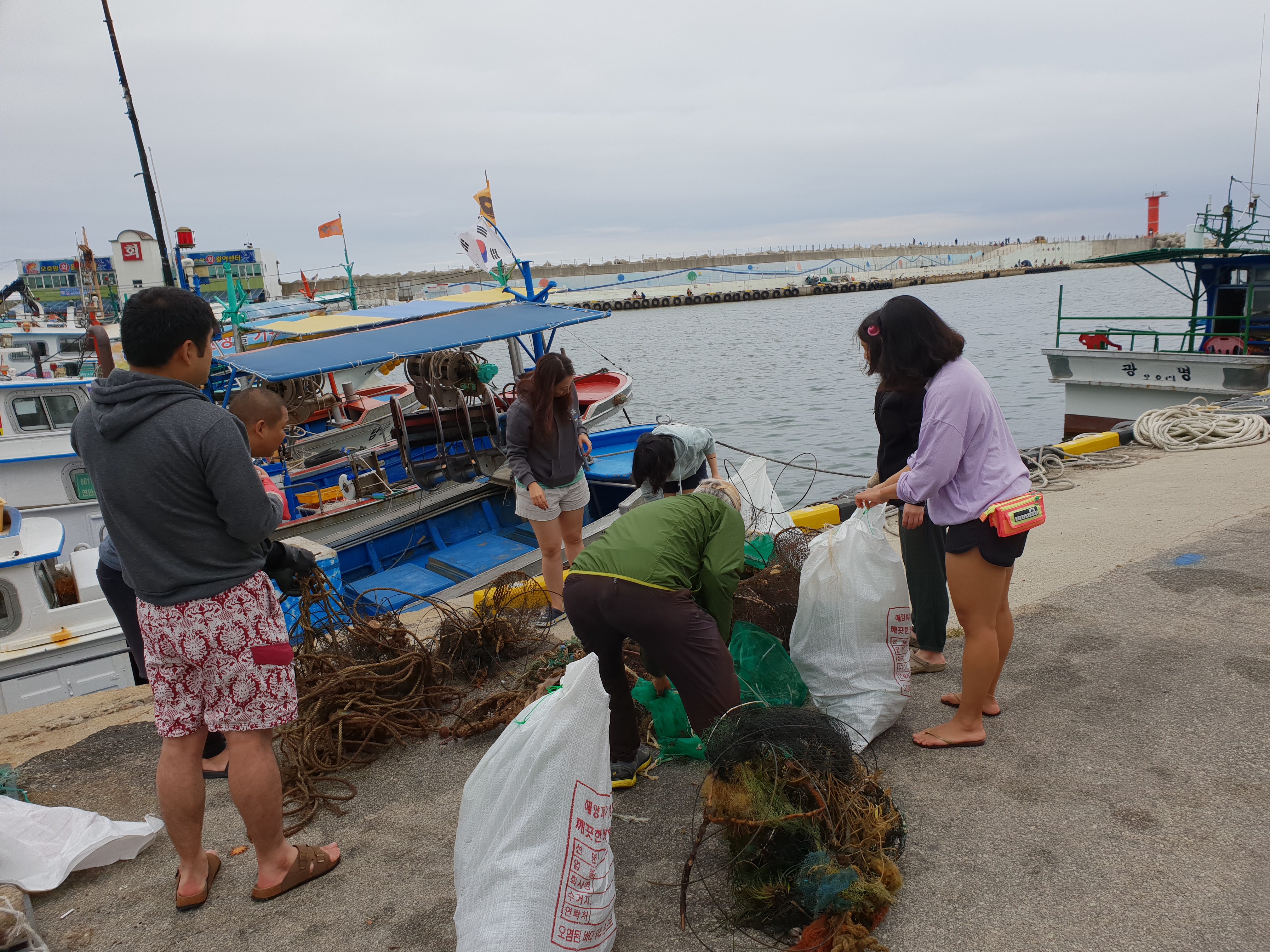
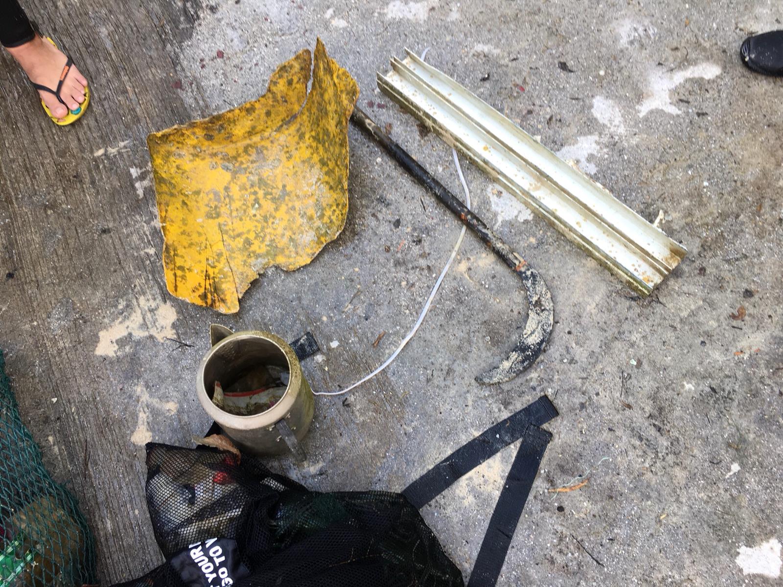
ADS323 - Tung Ping Chau
41
152
2
2
22.545909, 114.431823
2
sand
35
2
1
Typhoon Mangkhut
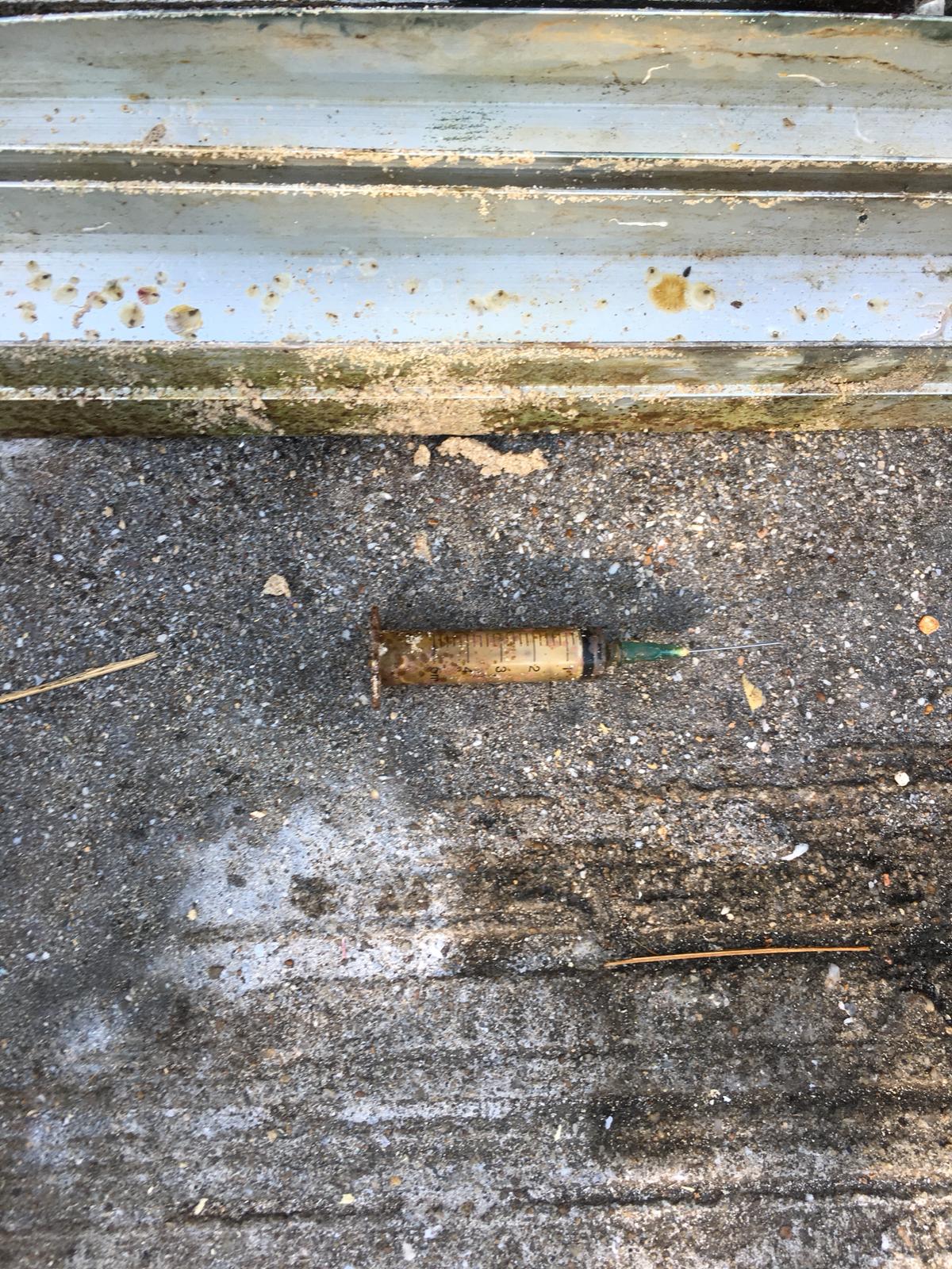
Window seal, clothing items
Rainy intervals
9
1
1
1
3
1
1
1
5
1
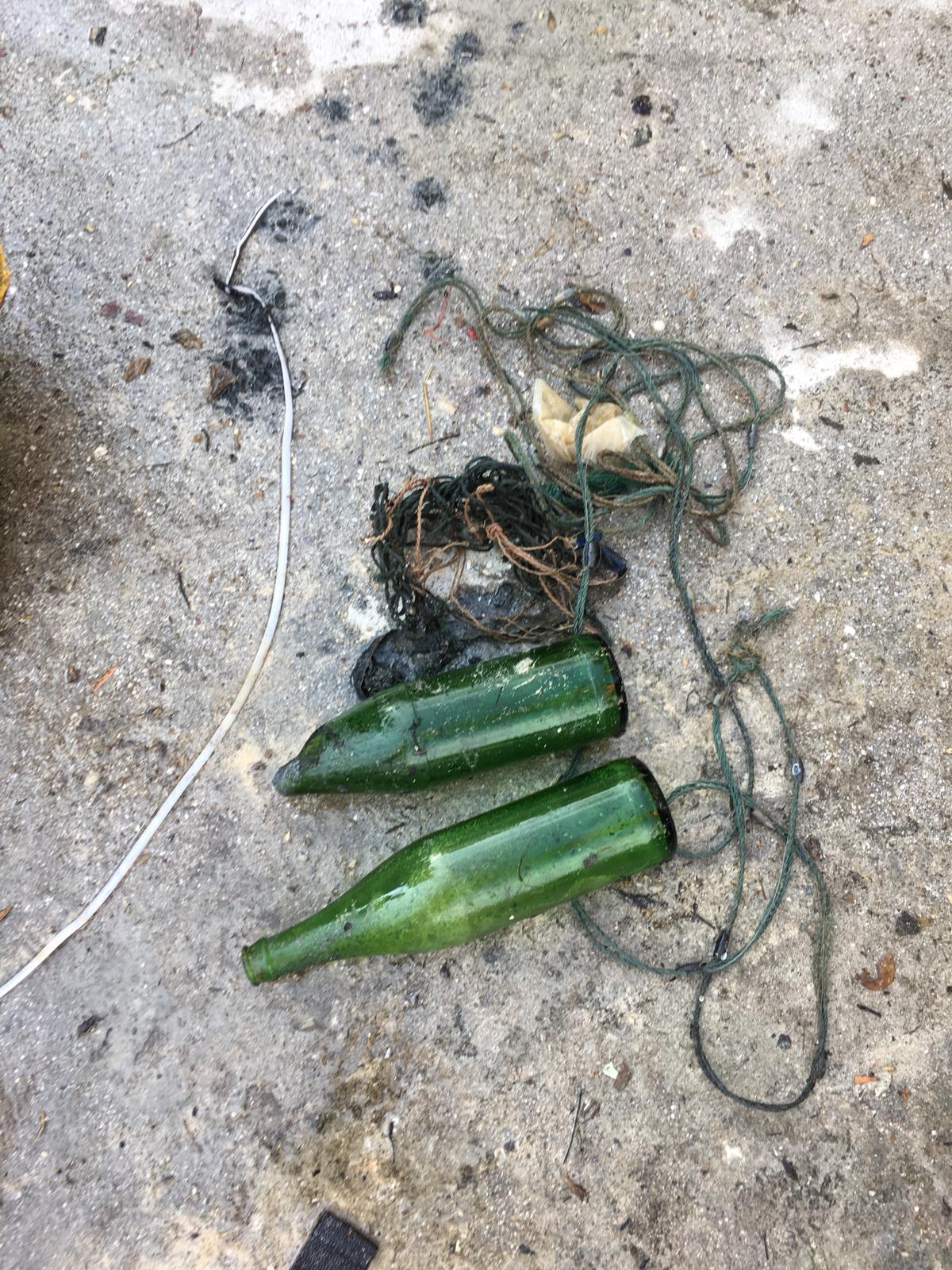
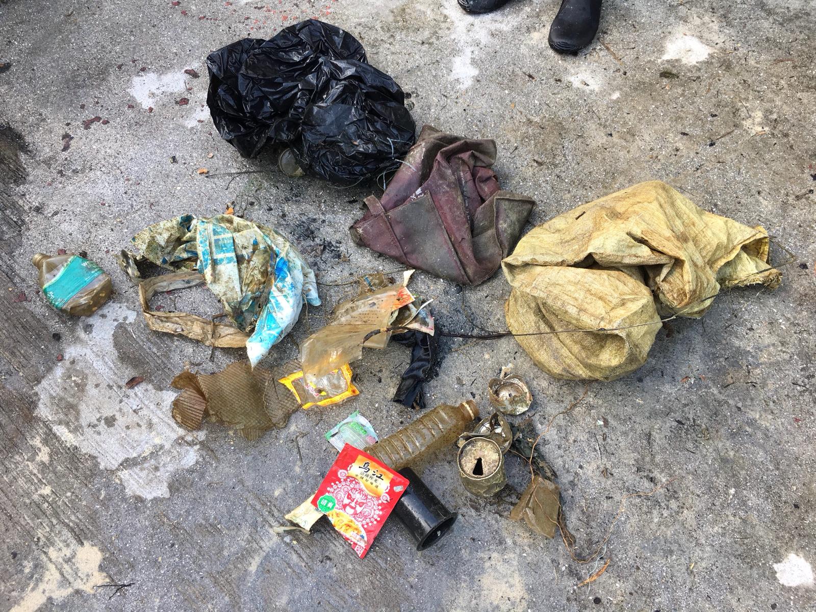
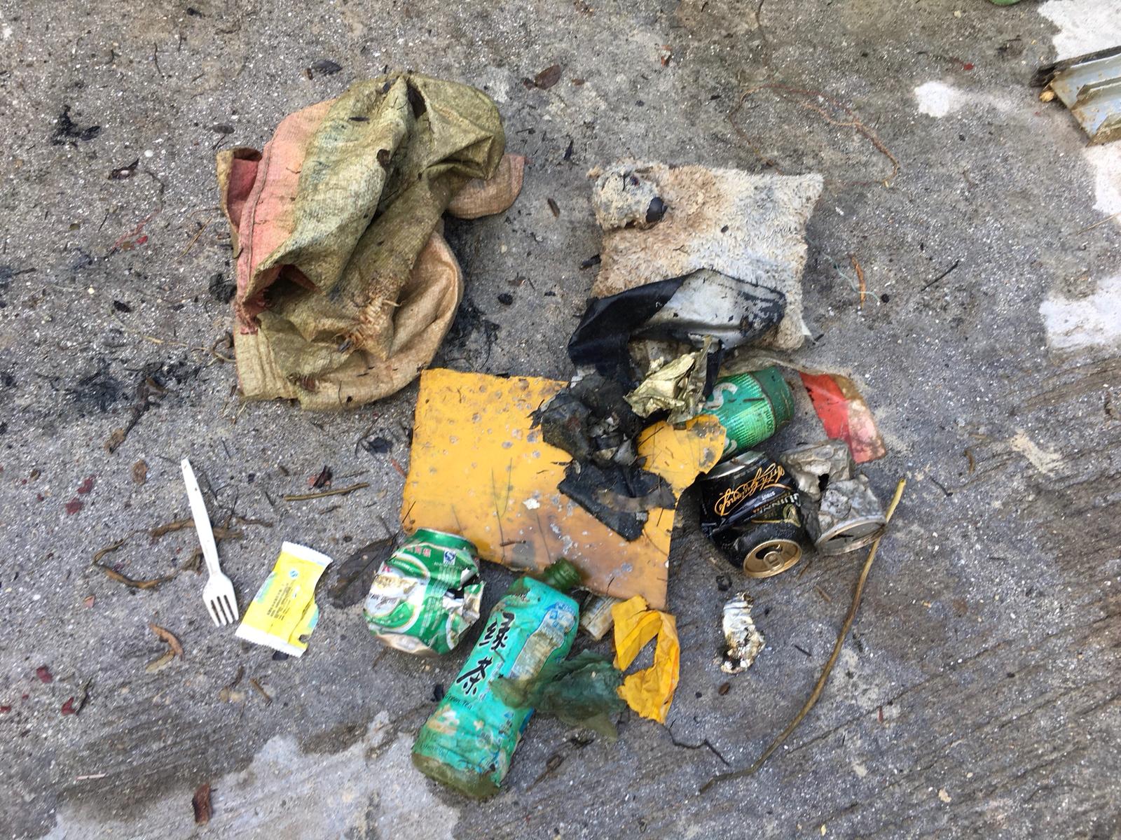
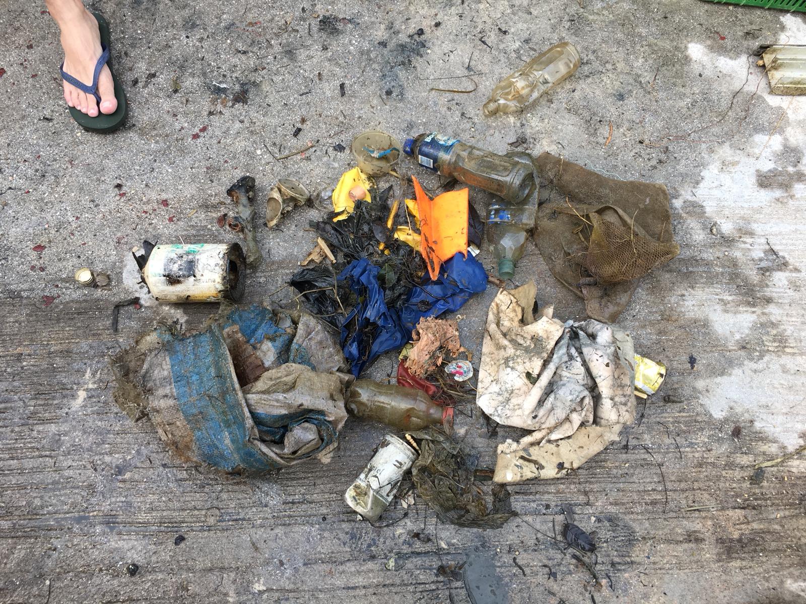
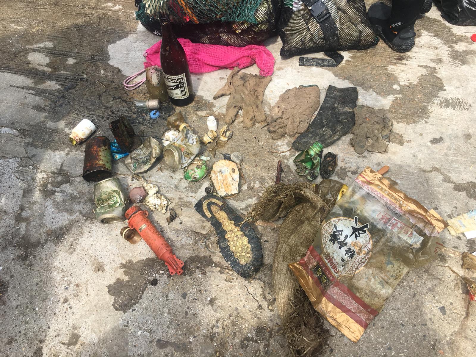
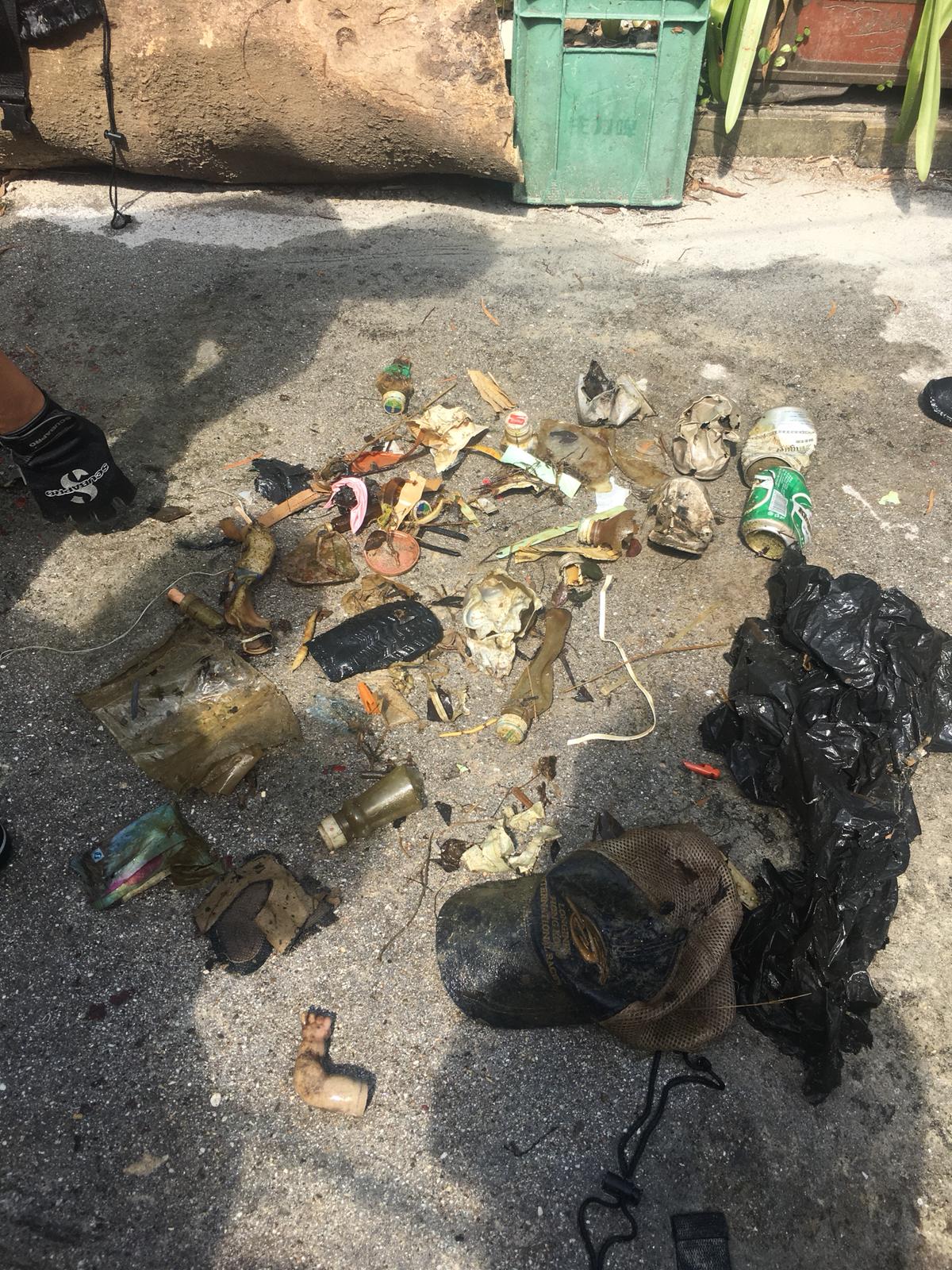
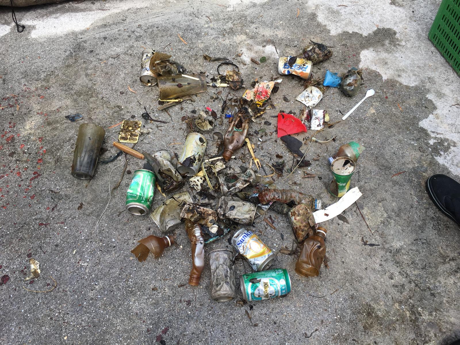
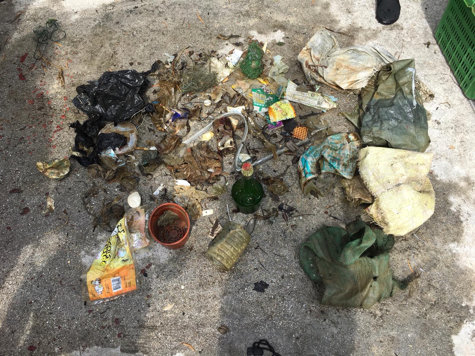
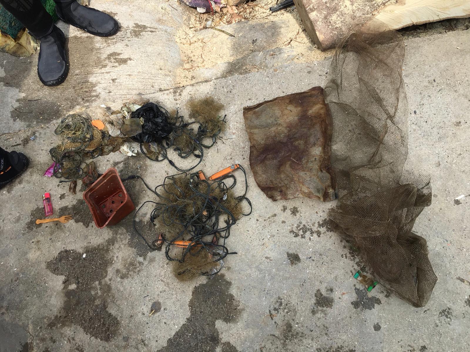
Tarp bag
Inflatable beach mattress
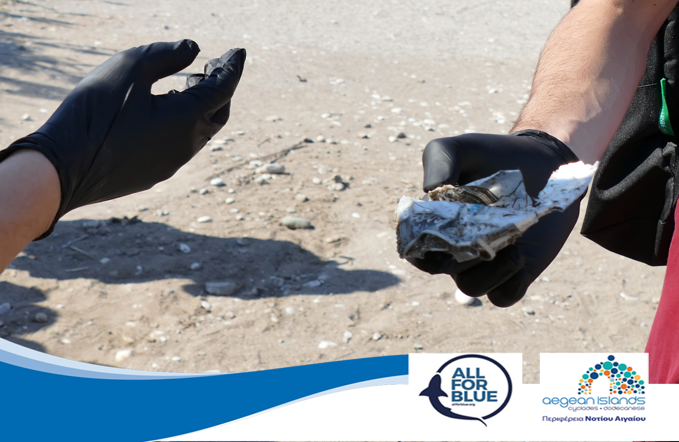
Silicon window seal fragment
Ruler
Mahjong tiles
Flower pot
Sponge
Medication packaging
O-ring
Pillow case/cover
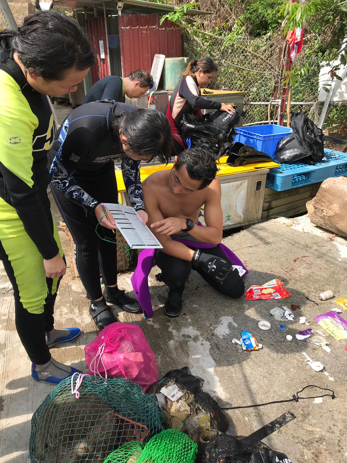
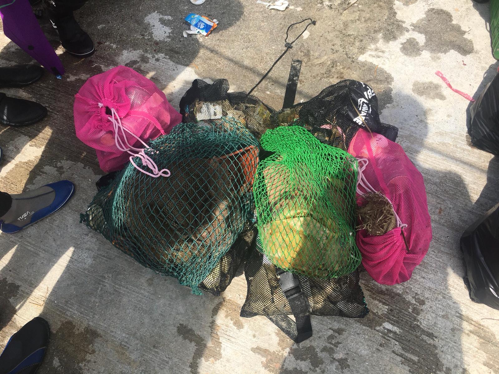
Tursiopsdivers
19
2
13
10
8
2
5
31
4
5
20.50
40
3.90
1.50
11
measured
2897.65
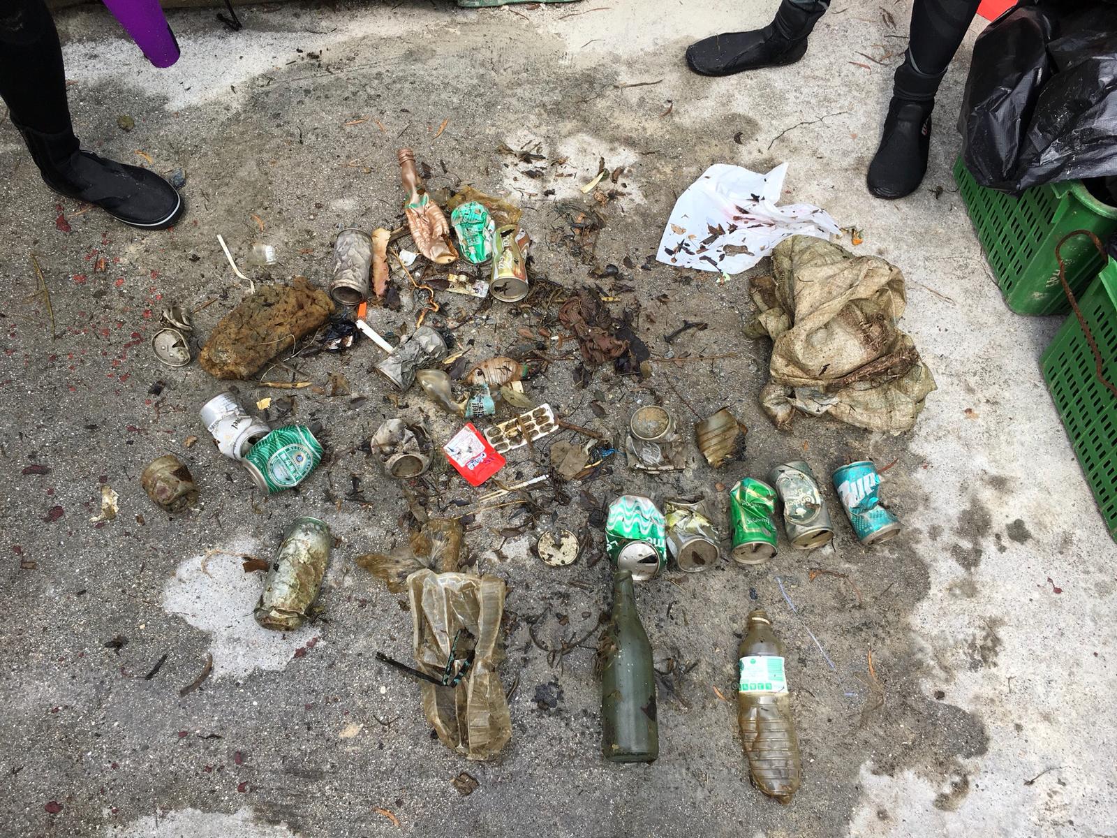
Plastic fragments
1
On
kilograms
I have debris data to report
4
2
Smooth (wavelets) for waves 0.1 - 0.5 meter high
2
4
3
1
m2
meters
coral reef
5
4
4
1
4
40
4
Map Help
Dive Location
If you know your survey site coordinates, enter them manually in decimal degrees using WGS84 Map Datum. Use the minus sign for latitudes south of the equator and longitudes west of the Prime Meridian to 180 degrees.
If you do not know your survey site coordinates, click the “Map Location” tab to use the map to zoom into your survey site and drop the pin on the map to fall within your survey dive site in the water (not on land or the beach). Ensure you zoom in as much as possible to ensure data accuracy.
Entangled Help