Malmok
3
12
sand
1
25
12.602429025081, -70.051848480049
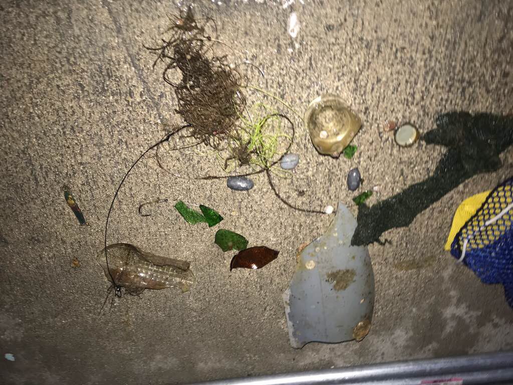
Locals fishing with lines near a rocky bottom
Good weather, normal windconditions for Aruba.
1
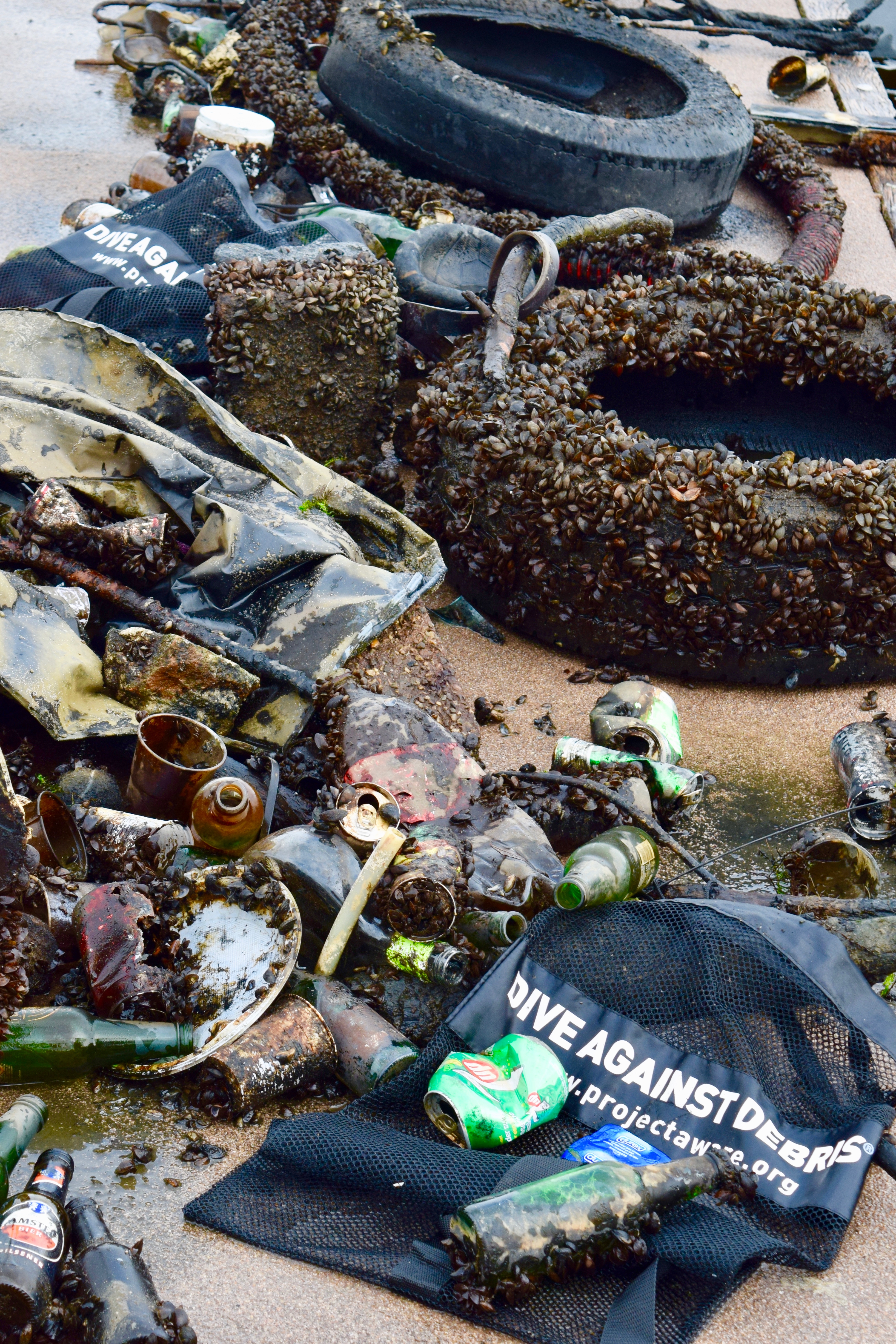
Hairtie, made of cloth and metal
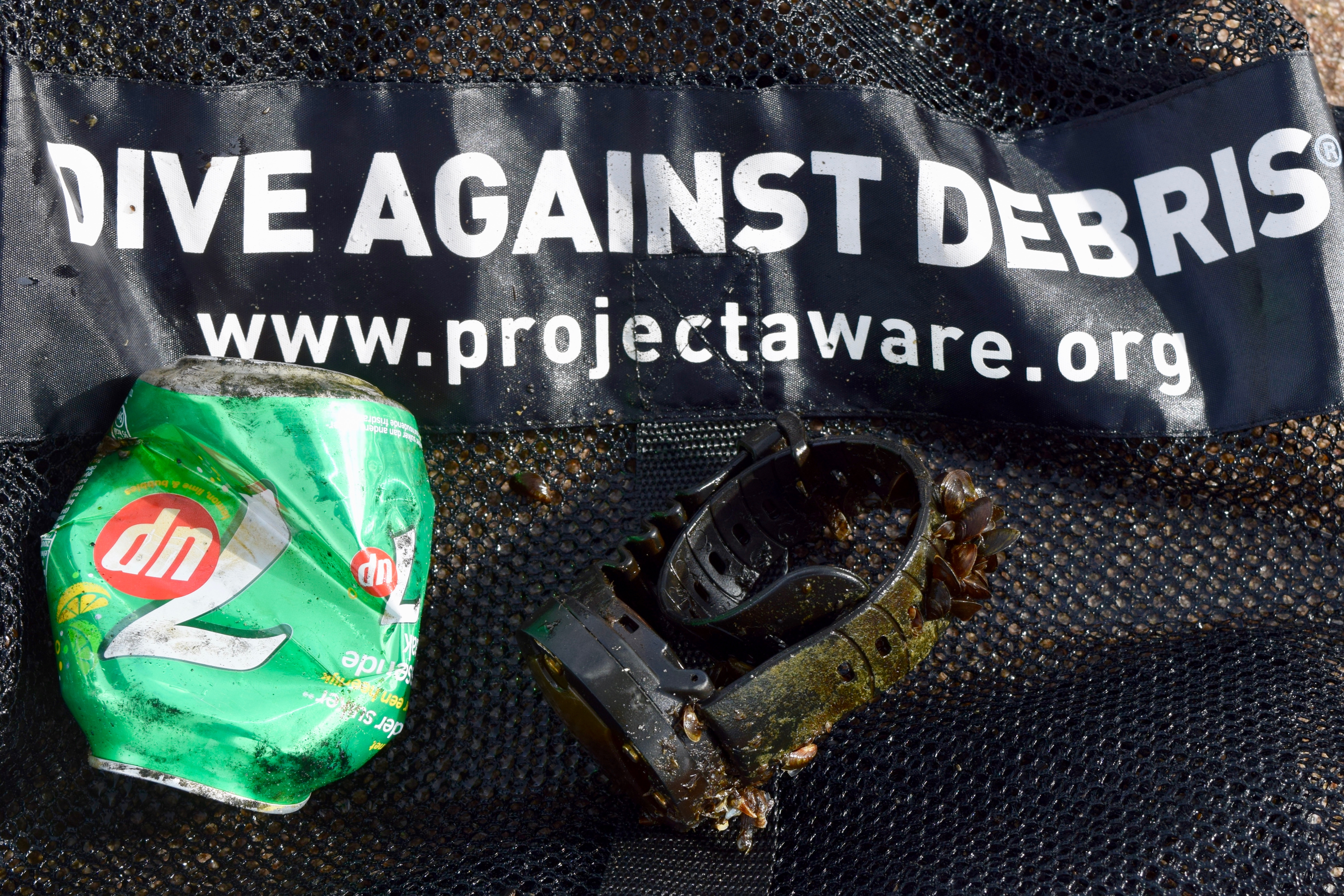
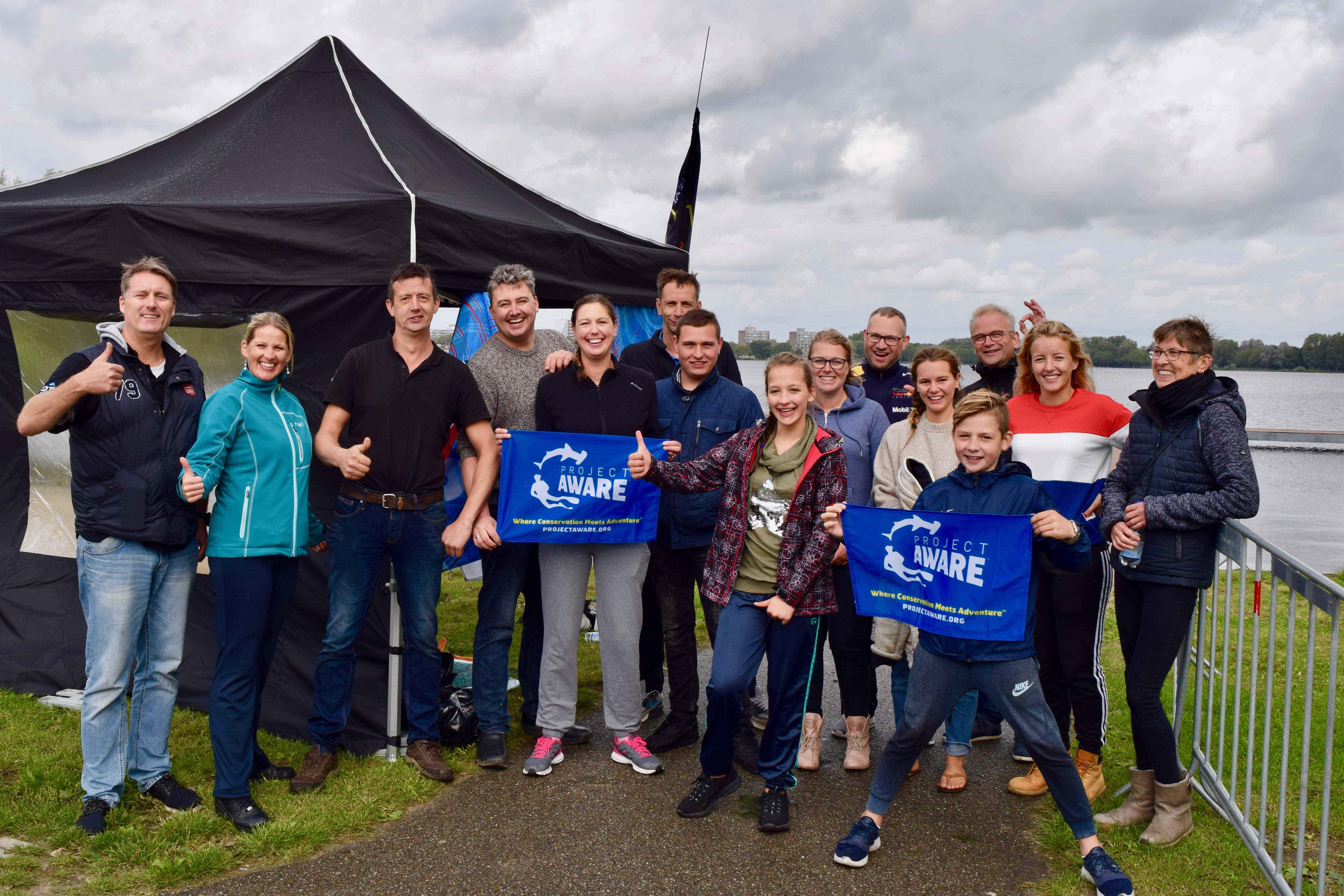
Happy divers Aruba
Lisa de Jong
1
3
0.50
80
3.70
1.00
estimated
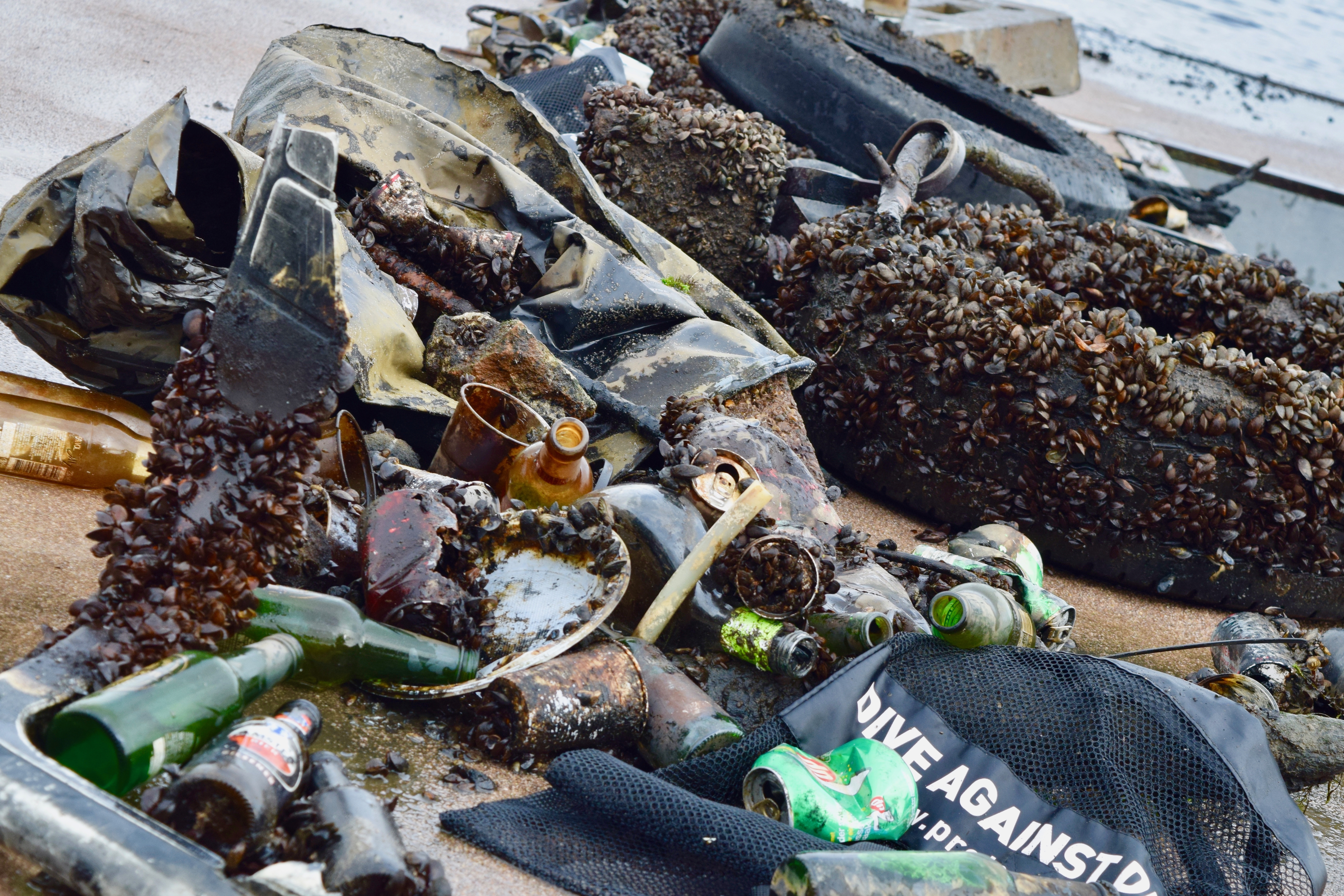
1784.96
Fishingline
Fishhooks
glass fragments
On
kilograms
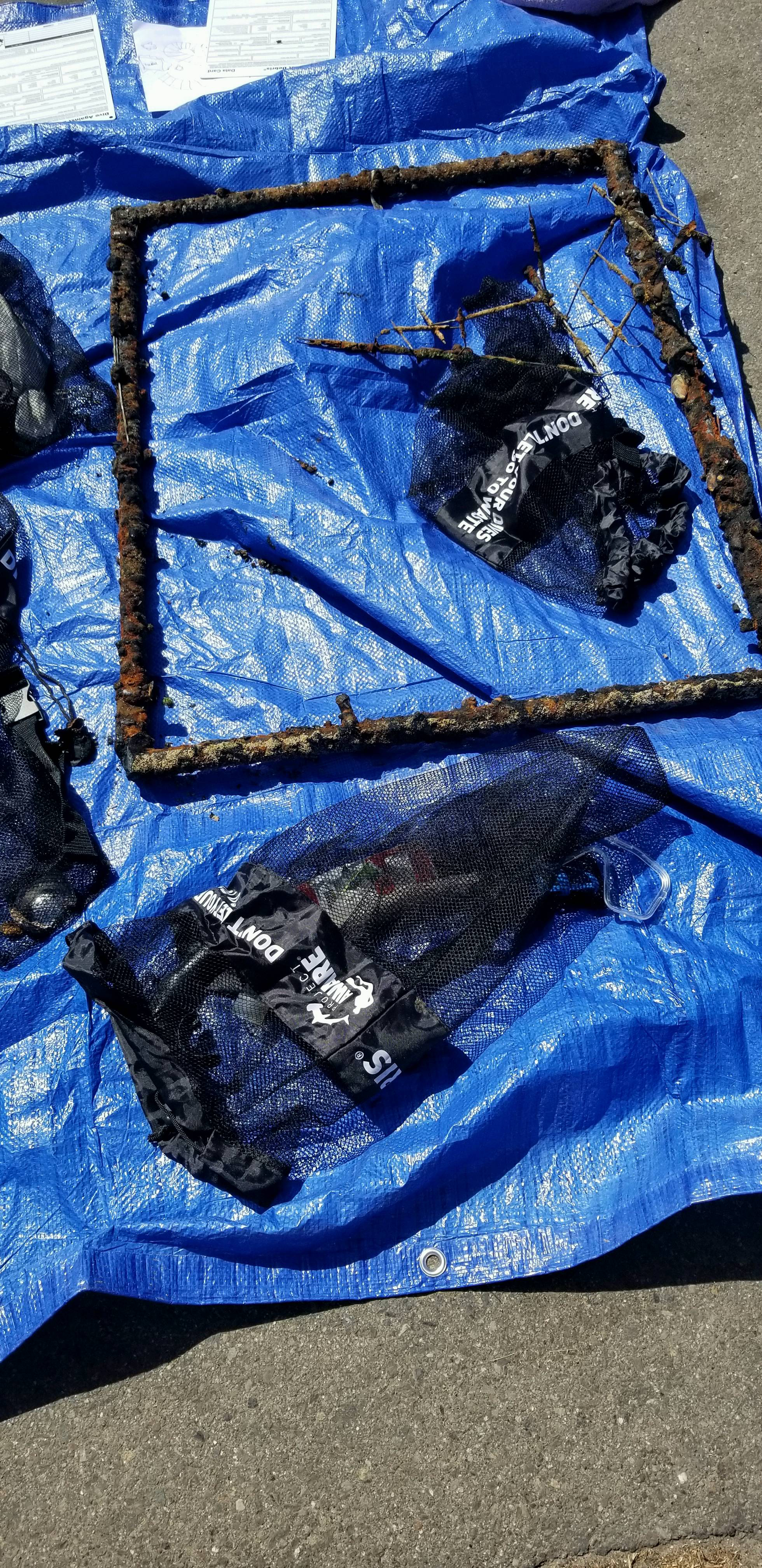
I have debris data to report
Calm (glassy to rippled) for waves 0 – 0.1 meter high
m2
meters
rocky reef
5
12
State\Province
Noord
City
Noord
Map Help
Dive Location
If you know your survey site coordinates, enter them manually in decimal degrees using WGS84 Map Datum. Use the minus sign for latitudes south of the equator and longitudes west of the Prime Meridian to 180 degrees.
If you do not know your survey site coordinates, click the “Map Location” tab to use the map to zoom into your survey site and drop the pin on the map to fall within your survey dive site in the water (not on land or the beach). Ensure you zoom in as much as possible to ensure data accuracy.
Entangled Help