Menu

ADS120 - Praia Vermelha Red Beach

0
0
0

-22.955264, -43.164148628712

1
0
0
rock
0
3
0
7
0
Recreational fishing
Spark plug
Sunny
16
0
0
0
0
0
0
0
0
0
0
0
0
0
0
0
0
0
0
0
Spark plugs
Projeto Verde Mar / Cumulus Tv
Caio Salles
0
0
0
0
1
0
0
0
0
0
0
0
0
0
0
0
0
1
0
8
0
11
0
0
4
0
0
0
0
1
0
0
0
0
3.00
50
9.00
3.00
0
estimated
0
7
800.00
0
0
0
0
0
Fishing devices (spark plugs as sink)
Plastic bag
0
On
kilograms
0
I have debris data to report
1
0
0
Calm (glassy to rippled) for waves 0 – 0.1 meter high
0
0
0
0
0
0
0
m2
0
0
meters
rocky reef
2
0
0
0
0
0
0
0
0
0
0
0
0
0
0
0
1
2
0
0
0
Plástic bag
Green Sea Turtle
0
1
0
1
0
0
0
1
Brazil
State\Province
RJ
City
Rio de Janeiro
Map Help


Dive Location

If you know your survey site coordinates, enter them manually in decimal degrees using WGS84 Map Datum. Use the minus sign for latitudes south of the equator and longitudes west of the Prime Meridian to 180 degrees.

If you do not know your survey site coordinates, click the “Map Location” tab to use the map to zoom into your survey site and drop the pin on the map to fall within your survey dive site in the water (not on land or the beach). Ensure you zoom in as much as possible to ensure data accuracy.

Entangled Help


Use the vertical tabs below to record any entangled animals you found of each type.

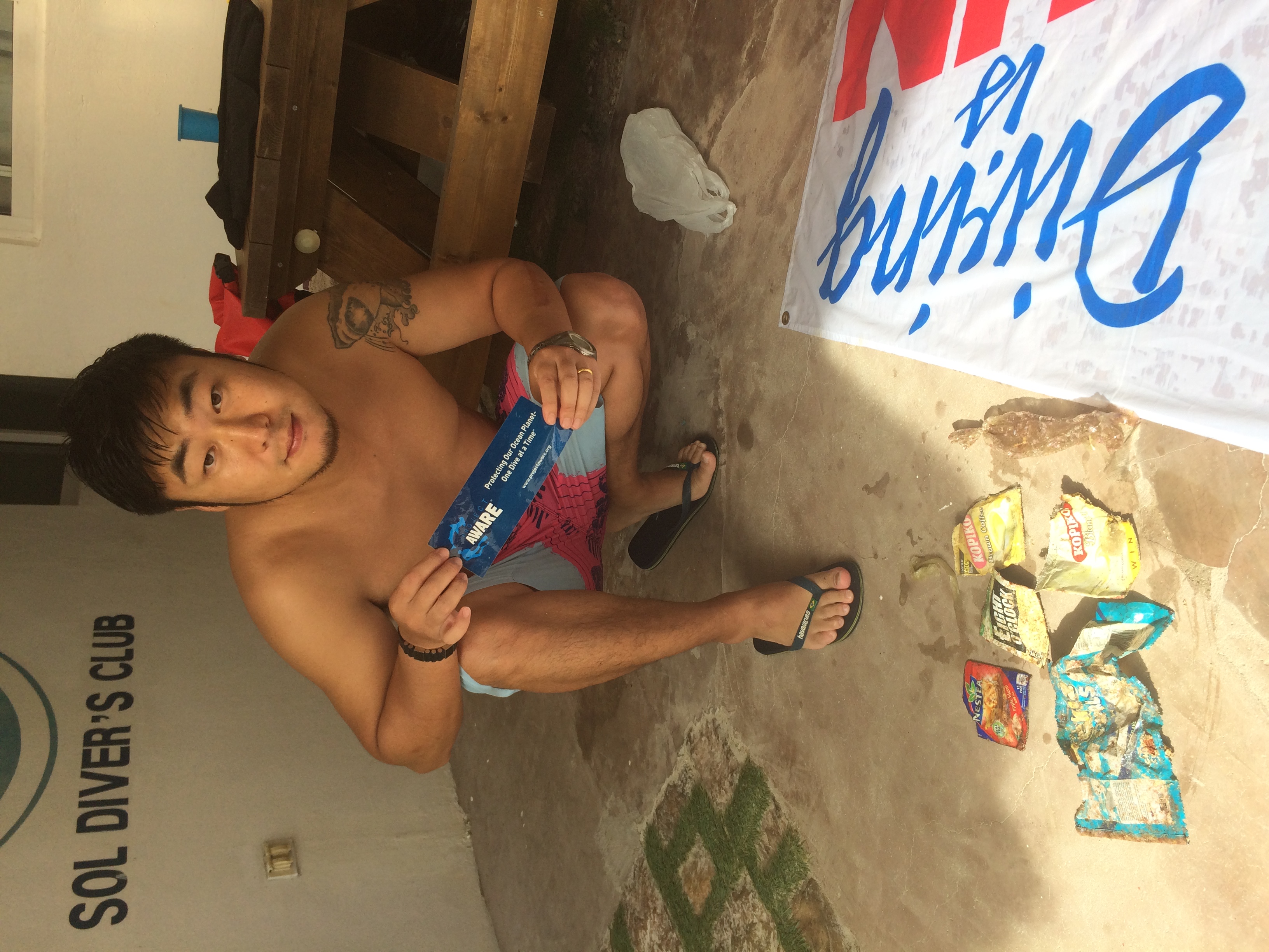
lapus-lapus

coral

11.32704356968, 124.11769836016

soldiversclub
jaesin kim
1
0.50
35
15.00
12.00
estimated
1.00
On
kilograms
I have debris data to report
Calm (glassy to rippled) for waves 0 – 0.1 meter high m2
meters
coral reef
Philippines
Map Help


Dive Location

If you know your survey site coordinates, enter them manually in decimal degrees using WGS84 Map Datum. Use the minus sign for latitudes south of the equator and longitudes west of the Prime Meridian to 180 degrees.

If you do not know your survey site coordinates, click the “Map Location” tab to use the map to zoom into your survey site and drop the pin on the map to fall within your survey dive site in the water (not on land or the beach). Ensure you zoom in as much as possible to ensure data accuracy.
Entangled Help


Use the vertical tabs below to record any entangled animals you found of each type.

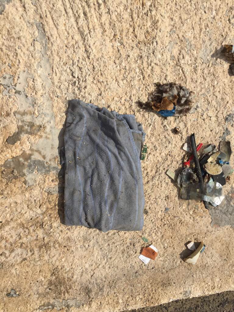
Neptune Memorial Reef

0
0
0

25.635530842325, -80.079558531322

0
0
0
other
0
0
0
1
0
Calm, sunny
0
0
0
0
0
0
0
0
0
0
0
0
0
0
0
0
0
0
0
0
Squalo Divers
Sebastian Duran
0
0
0
0
0
0
0
0
0
0
0
0
0
0
0
0
0
0
0
2
0
0
0
0
0
0
0
0
0
0
0
0
0
0
1.00
45
45.00
40.00
0
estimated
0
0
50.00
0
0
0
0
0
Fishing lines
0
On
kilograms
0
I have debris data to report
1
0
0
Smooth (wavelets) for waves 0.1 - 0.5 meter high
0
0
0
0
0
0
0
m2
0
0
feet
other
0
0
0
0
0
0
0
0
0
0
0
0
0
0
0
0
0
0
0
0
0
0
0
0
0
0
0
0
United States
State\Province
Florida
City
Miami
Map Help


Dive Location

If you know your survey site coordinates, enter them manually in decimal degrees using WGS84 Map Datum. Use the minus sign for latitudes south of the equator and longitudes west of the Prime Meridian to 180 degrees.

If you do not know your survey site coordinates, click the “Map Location” tab to use the map to zoom into your survey site and drop the pin on the map to fall within your survey dive site in the water (not on land or the beach). Ensure you zoom in as much as possible to ensure data accuracy.
Entangled Help


Use the vertical tabs below to record any entangled animals you found of each type.

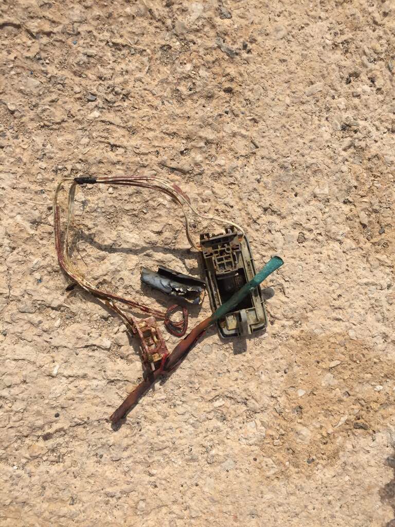
Valletta harbour

0
45
0

35.90240649891, 14.515514067703

0
0
0
rock
0
0
0
0
0
Leg from action figure
6
0
0
0
0
0
0
0
0
0
0
0
0
0
0
0
0
0
0
0
Electrical wires
Sub Sea Adventures
Oliver Powell
0
0
0
0
0
0
0
0
0
0
0
0
0
0
0
0
0
0
0
4
0
0
0
0
0
0
0
0
0
0
0
0
0
0
2.00
25
15.00
6.00
0
estimated
0
0
2633.76
0
0
0
4
0
Wet wipes
0
On
kilograms
0
I have debris data to report
1
0
0
Smooth (wavelets) for waves 0.1 - 0.5 meter high
0
0
0
0
0
0
0
m2
0
1
meters
rocky reef
3
0
0
0
0
1
0
0
0
0
0
0
2
0
0
0
6
0
0
0
0
0
0
0
0
0
0
0
Malta
State\Province
Valletta
City
Valletta
Map Help


Dive Location

If you know your survey site coordinates, enter them manually in decimal degrees using WGS84 Map Datum. Use the minus sign for latitudes south of the equator and longitudes west of the Prime Meridian to 180 degrees.

If you do not know your survey site coordinates, click the “Map Location” tab to use the map to zoom into your survey site and drop the pin on the map to fall within your survey dive site in the water (not on land or the beach). Ensure you zoom in as much as possible to ensure data accuracy.
Entangled Help


Use the vertical tabs below to record any entangled animals you found of each type.

ADS360 - Rif St. Marie

12.197981, -69.079344

coral
Coral Divers
Susi
5
0.00
52
18.00
1.00
measured
210.00
On
kilograms
Our Survey Site was free of debris
Moderate to rough for waves greater than 1.25 meters m2
meters
coral reef
Netherlands Antilles
City
Willemstad
Map Help


Dive Location

If you know your survey site coordinates, enter them manually in decimal degrees using WGS84 Map Datum. Use the minus sign for latitudes south of the equator and longitudes west of the Prime Meridian to 180 degrees.

If you do not know your survey site coordinates, click the “Map Location” tab to use the map to zoom into your survey site and drop the pin on the map to fall within your survey dive site in the water (not on land or the beach). Ensure you zoom in as much as possible to ensure data accuracy.

Entangled Help


Use the vertical tabs below to record any entangled animals you found of each type.

ADS409 - St. George's Bay

3
3
2
0

35.926326, 14.489571

0
0
0
seagrass
0
0
0
0
0
No
Windy
2
Boat propeller
Cresta Dive Centre
Nicholas Martens
0
3
0
5
0
0
0
0
0
0
0
0
0
0
0
0
0
1
1
2
1
1
0
0
6
0
12
0
0
2
0
0
0
0
0
0
5.50
65
6.00
2.00
0
estimated
0
0
0
0
8716.54
0
0
0
0
0
Cans
Plastic bottles
Plastic cups
0
On
kilograms
0
I have debris data to report
1
1
0
Smooth (wavelets) for waves 0.1 - 0.5 meter high
0
0
0
Cans
Crabs
Released Unharmed
2
0
3
0
0
m2
0
0
meters
seagrass
2
0
0
0
0
0
0
0
0
0
0
0
0
0
0
0
0
9
0
0
0
0
0
0
0
0
0
0
0
Malta
City
St. Julian's
Map Help


Dive Location

If you know your survey site coordinates, enter them manually in decimal degrees using WGS84 Map Datum. Use the minus sign for latitudes south of the equator and longitudes west of the Prime Meridian to 180 degrees.

If you do not know your survey site coordinates, click the “Map Location” tab to use the map to zoom into your survey site and drop the pin on the map to fall within your survey dive site in the water (not on land or the beach). Ensure you zoom in as much as possible to ensure data accuracy.

Entangled Help


Use the vertical tabs below to record any entangled animals you found of each type.

ADS371 - Crique des Aloès

111

42.453333785304, 3.1613479368389

sand
Windy and sunny
Laurent CHAUVET
6
1.00
49
14.00
4.00
estimated
400.00
11
Plasic
Metal
On
kilograms
I have debris data to report
Calm (glassy to rippled) for waves 0 – 0.1 meter high m2
meters
rocky reef
3
France
City
Cerbère
Map Help


Dive Location

If you know your survey site coordinates, enter them manually in decimal degrees using WGS84 Map Datum. Use the minus sign for latitudes south of the equator and longitudes west of the Prime Meridian to 180 degrees.

If you do not know your survey site coordinates, click the “Map Location” tab to use the map to zoom into your survey site and drop the pin on the map to fall within your survey dive site in the water (not on land or the beach). Ensure you zoom in as much as possible to ensure data accuracy.

Entangled Help


Use the vertical tabs below to record any entangled animals you found of each type.

Octopus Rock

1

12.171103439769, 109.31296048494

rock
Second dive there to continue taking off a long fishing net. Again had to cut it and come up with a part of it...
Cloudy most of the time, moderate wInd, rain in afternoon.
Sailing Club Divers
Nicolas Martin
2
15.00
39
21.00
16.00
estimated
60.00
On
kilograms
I have debris data to report
Calm (glassy to rippled) for waves 0 – 0.1 meter high
Fishing net
Crab (Daldorfia horrida)
Released Unharmed
1
m2
meters
coral reef
Vietnam
State\Province
Khanh Hoa
City
Nha Trang
Map Help


Dive Location

If you know your survey site coordinates, enter them manually in decimal degrees using WGS84 Map Datum. Use the minus sign for latitudes south of the equator and longitudes west of the Prime Meridian to 180 degrees.

If you do not know your survey site coordinates, click the “Map Location” tab to use the map to zoom into your survey site and drop the pin on the map to fall within your survey dive site in the water (not on land or the beach). Ensure you zoom in as much as possible to ensure data accuracy.

Entangled Help


Use the vertical tabs below to record any entangled animals you found of each type.

ADS367 - PADI Beach

2
11
2

12.169492, 109.307799

1
sand
1
4
Man underwear
Cloudy, windy and bit of rain in afternoon.
Sailing Club Divers
Nicolas Martin
2
2
3
2.50
45
18.00
15.00
9
estimated
1
250.00
On
kilograms
I have debris data to report
Calm (glassy to rippled) for waves 0 – 0.1 meter high
1
1
m2
meters
coral reef
11
Vietnam
State\Province
Khanh Hoa
City
Nha Trang
Map Help


Dive Location

If you know your survey site coordinates, enter them manually in decimal degrees using WGS84 Map Datum. Use the minus sign for latitudes south of the equator and longitudes west of the Prime Meridian to 180 degrees.

If you do not know your survey site coordinates, click the “Map Location” tab to use the map to zoom into your survey site and drop the pin on the map to fall within your survey dive site in the water (not on land or the beach). Ensure you zoom in as much as possible to ensure data accuracy.

Entangled Help


Use the vertical tabs below to record any entangled animals you found of each type.

ADS323 - Tung Ping Chau

13
19
3

22.545909, 114.431823

1
1
sand
3
18
3
Plastic flower
Rainy
1
1
2
1
1
Wallet
Medication packaging
Wooden chopsticks
Surgical mask
Plastic flower
Tursiopsdivers
Tursiopsdivers
2
1
5
5
2
12
4
9
21.99
41
6.20
1.20
8
measured
6657.51
1
Fishing gears
Plastic wraps
On
kilograms
I have debris data to report
2
Calm (glassy to rippled) for waves 0 – 0.1 meter high
1
m2
meters
coral reef
3
21
5
1
Hong Kong S.A.R., China
City
Tung Ping Chau island
Map Help


Dive Location

If you know your survey site coordinates, enter them manually in decimal degrees using WGS84 Map Datum. Use the minus sign for latitudes south of the equator and longitudes west of the Prime Meridian to 180 degrees.

If you do not know your survey site coordinates, click the “Map Location” tab to use the map to zoom into your survey site and drop the pin on the map to fall within your survey dive site in the water (not on land or the beach). Ensure you zoom in as much as possible to ensure data accuracy.

Entangled Help


Use the vertical tabs below to record any entangled animals you found of each type.

Subscribe to